Uncategorized


Tula, Russia: Land of Gingerbread, Samovars and Tolstoy
Fall was always my favorite season growing up.
Something about the air turning crisper, the weather getting colder. The leaves turning yellow and brown and orange. And of course Halloween.
It’s that back-to-school weather that any person growing up in the United States loves.
So it was a special treat to be able to experience what fall was like in a different country on a different continent, in a country so unknown in the west. To experience fall in Russia.
Maybe it’s because the season is so short here, but autumn in Russia is truly special.
For starters, it only lasts one month. Fall rolls in during the second half of September and ends in the first half of October. After that winter is already in the air.
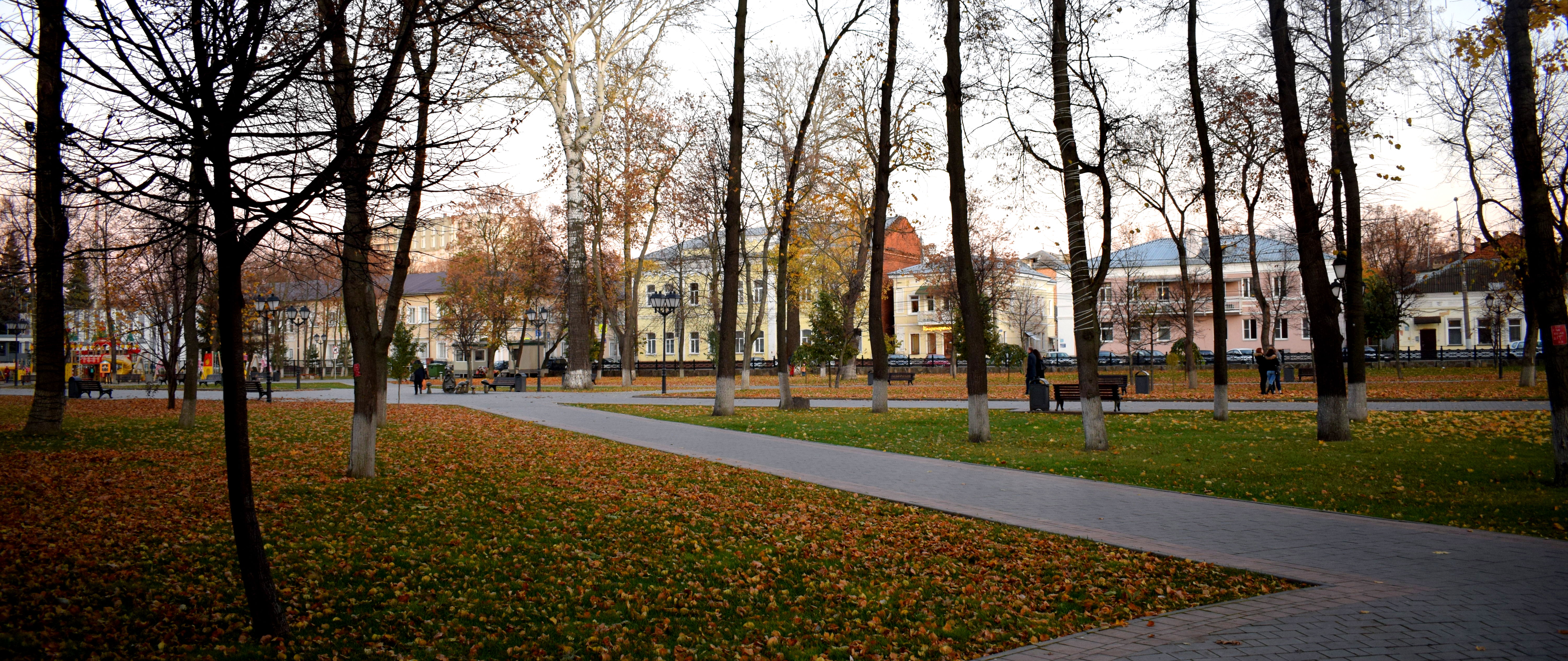
But during that brief four-week period, when the country transitions from summer to winter, the Russian countryside explodes into the most beautiful mosaic of red and orange and brown and yellow.
They call it ‘zolotaja osenj’ here, or ‘golden fall.’
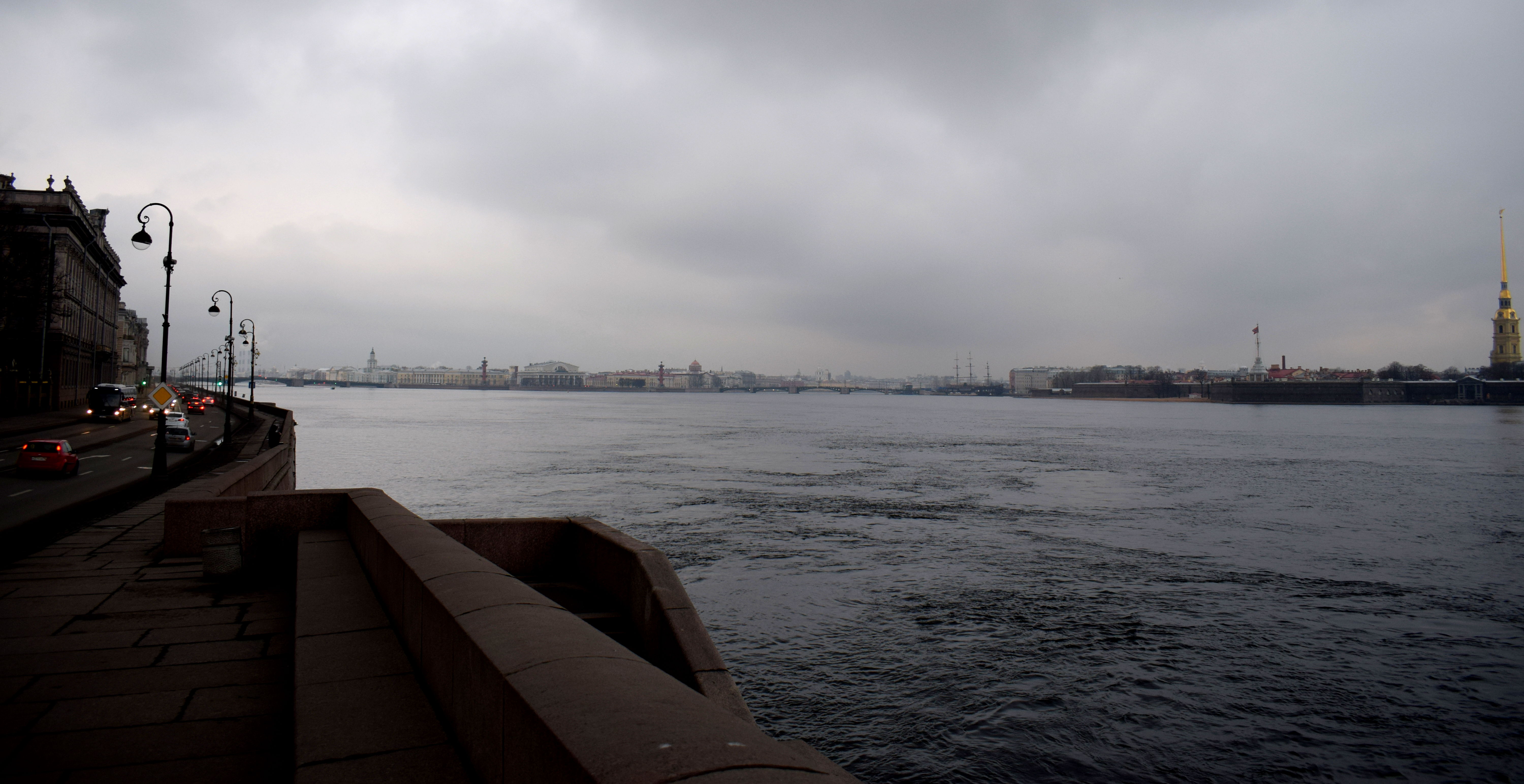
It was during this time of year I decided to head outside of Moscow and visit Tula, a city located three hours south of Moscow.
The year was 2017. I was living in Moscow working for a Russian newspaper. October had just arrived.
I was living with another American at the time working in Moscow. We both didn’t want to waste a beautiful crisp sunny autumn day cooped up in Moscow in the apartment.
So we took out a map and looked at what cities nearby we could visit.
We looked North, East, West and finally South. And there she was. Tula.
We’d read a lot of good things about Tula before. How Tula was the birthplace of Leo Tolstoy. That it was where a traditional Russian desert called pryaniki, or ‘gingerbread’ originated.
How for centuries Tula supplied the Russian empire with weapons and arms. And that samovars, what Russians used to make tea and keep water hot, originated from there.
Throw in a Kremlin too, which the city had, and the choice was obvious. We should visit Tula.
And off we went. To enjoy the Russian autumn in the Russian provinces.
How to get to Tula
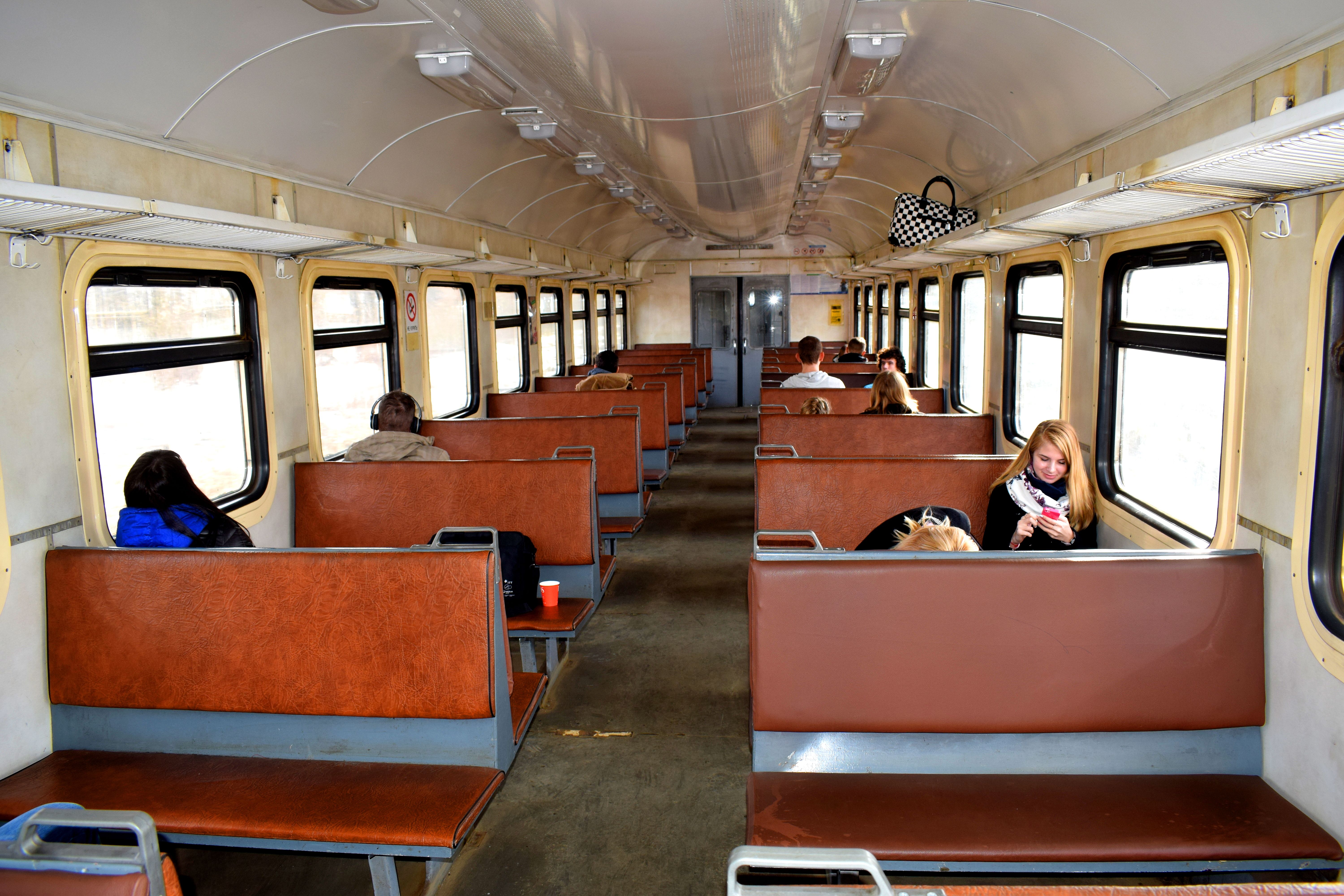
There are two ways to get to Tula from Moscow. You can take a suburban train, known as elektrichkas, or you can take a regular train. The regular train costs more, and will take you there directly. In this case, Tula is usually the first stop of a longer train ride headed south toward Voronezh and Ukraine.
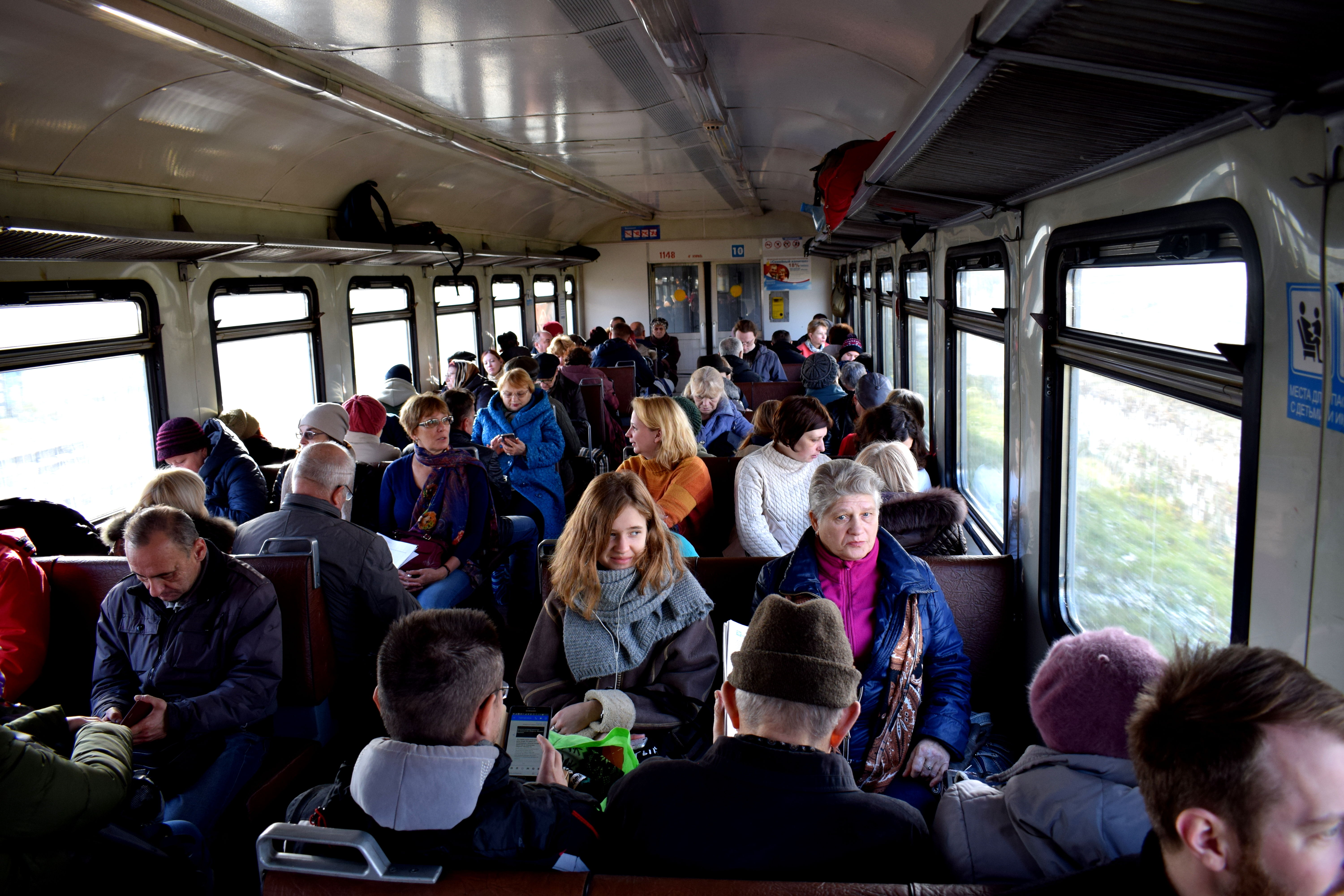
The other option, which we opted for, was the elektrichka. Elektrichkas are suburban trains that connect surrounding cities to Moscow. The elektrichka takes longer, three hours as opposed to an hour and a half. But the benefit is it is cheap. And you get to see all the smaller cities the train stops in.
When we went, the train was packed full of Russians heading to their dachas for the weekend.
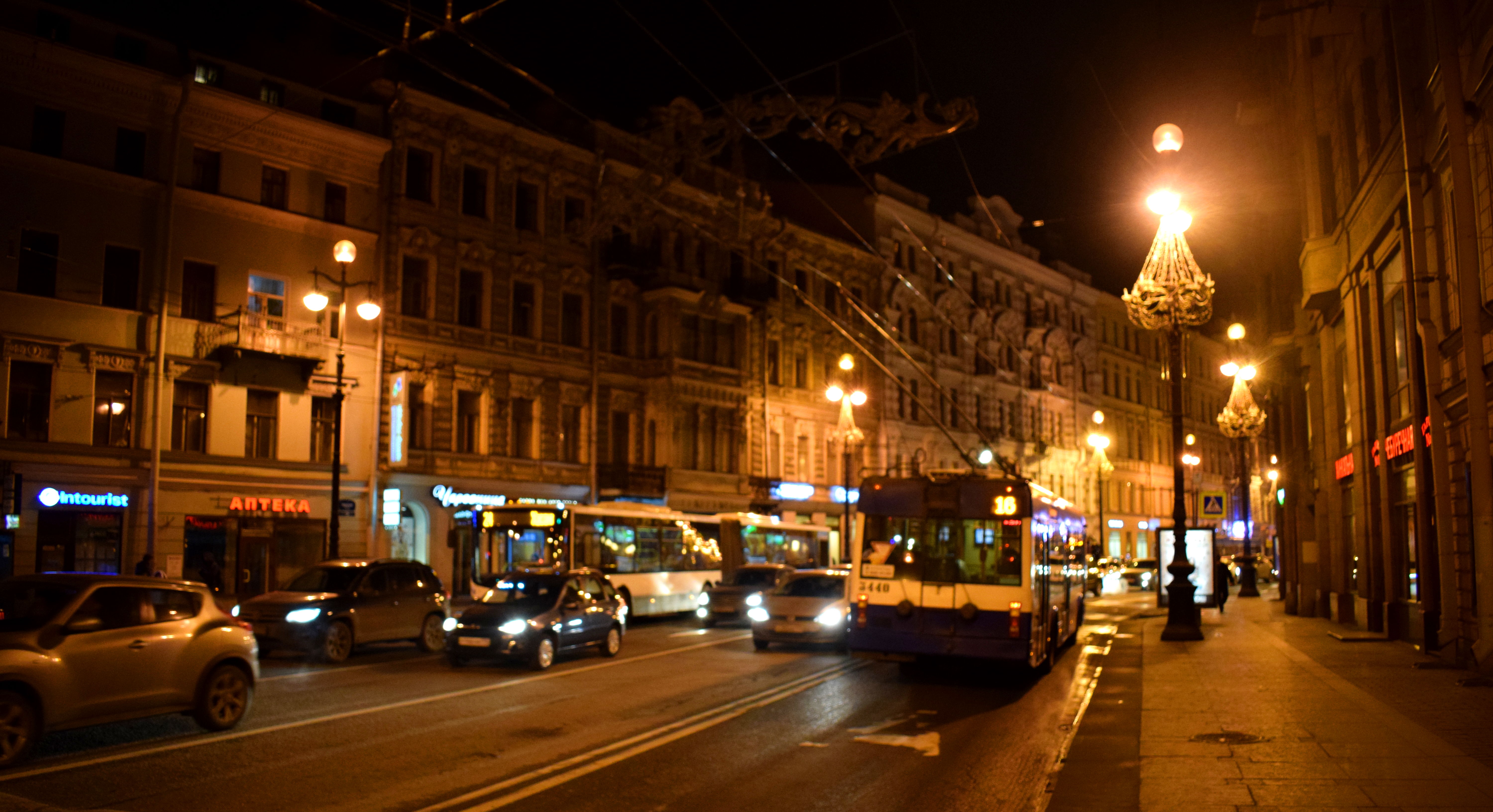
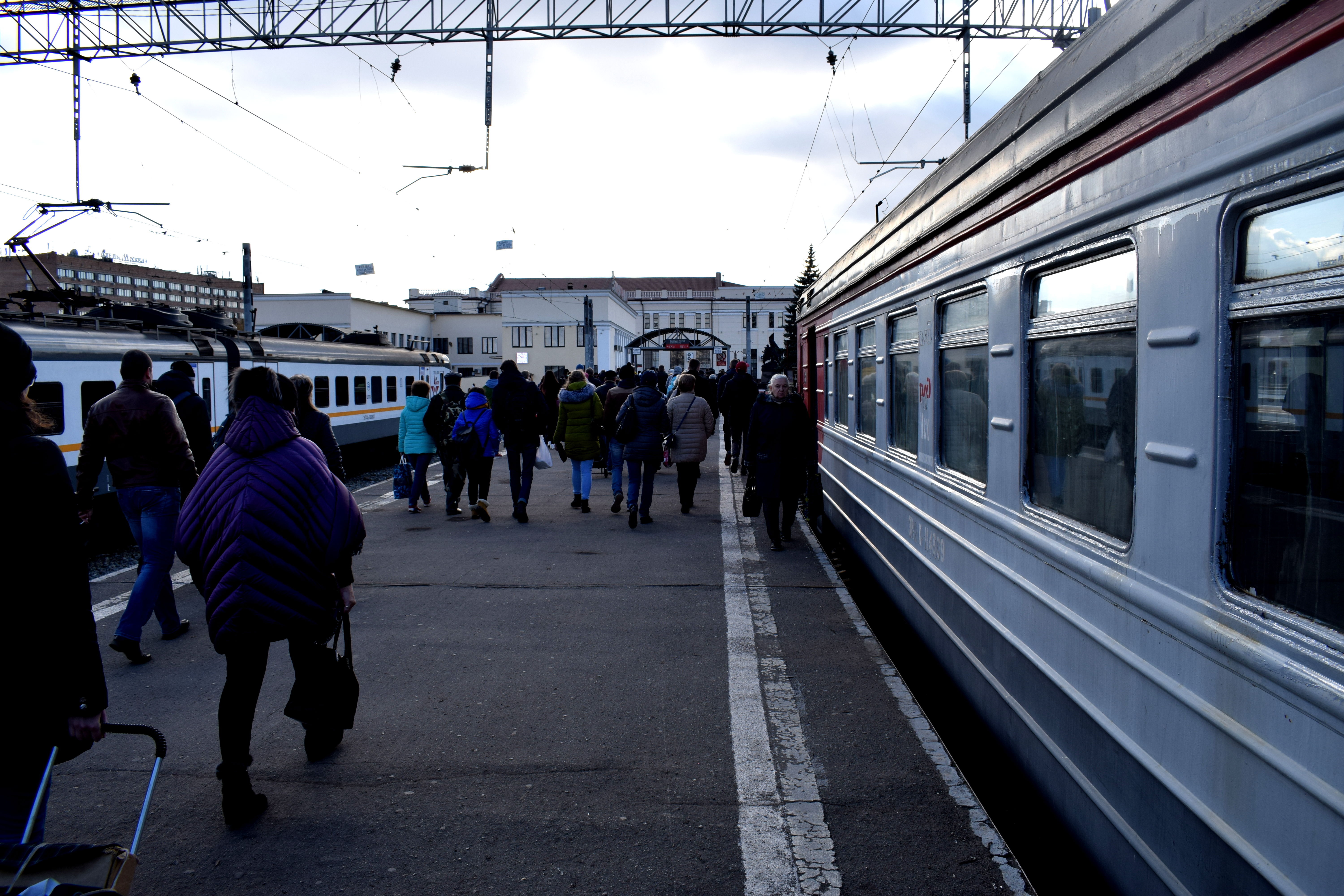
 Three hours later and we found ourselves hopping off the train at Tula’s main train station.
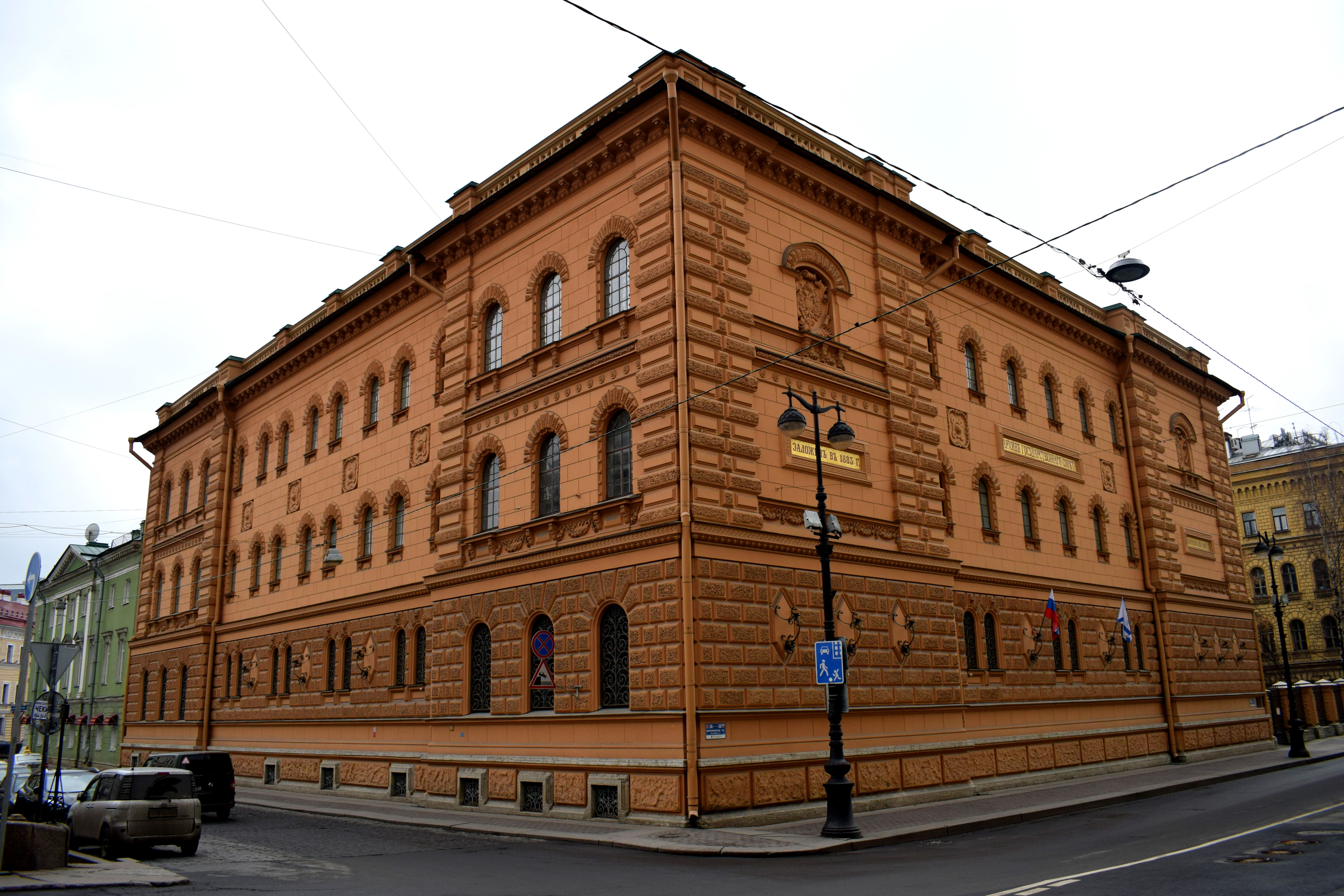
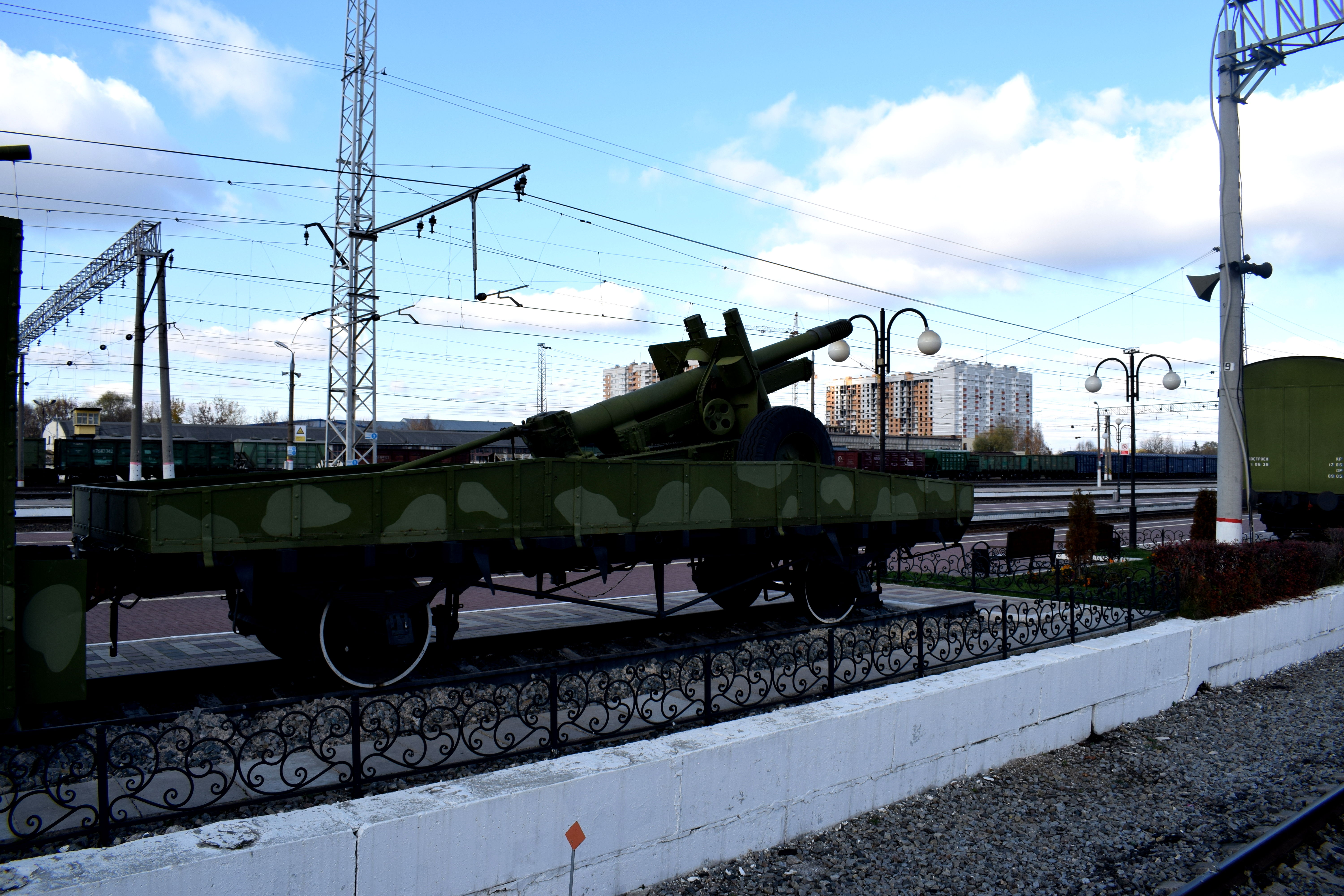
 There were a few military vehicles on display nearby. Tula was traditionally a major arms manufacturer in the Russian Empire, fueled by the Tula Arms Plant founded by Peter The Great in 1712.
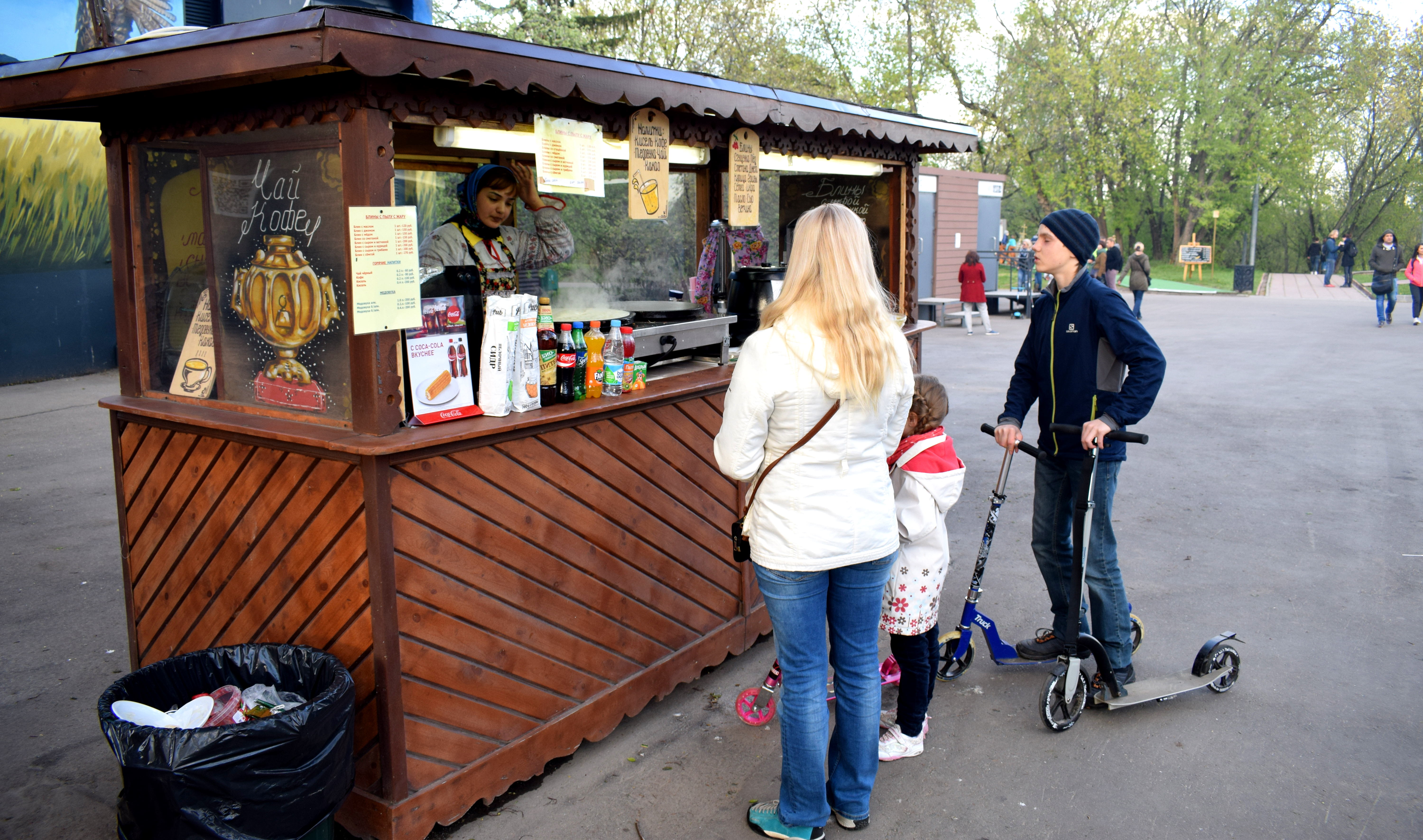
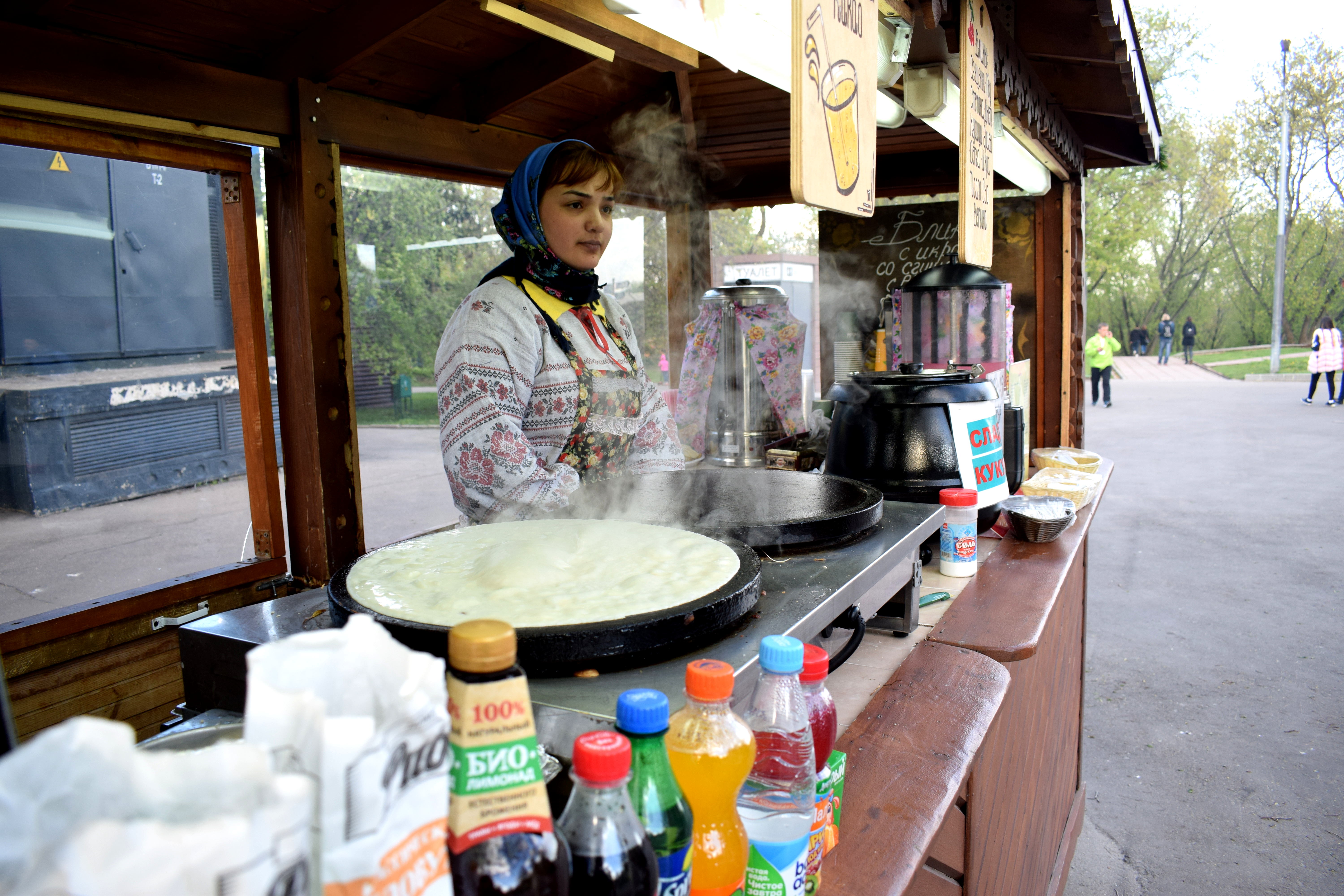
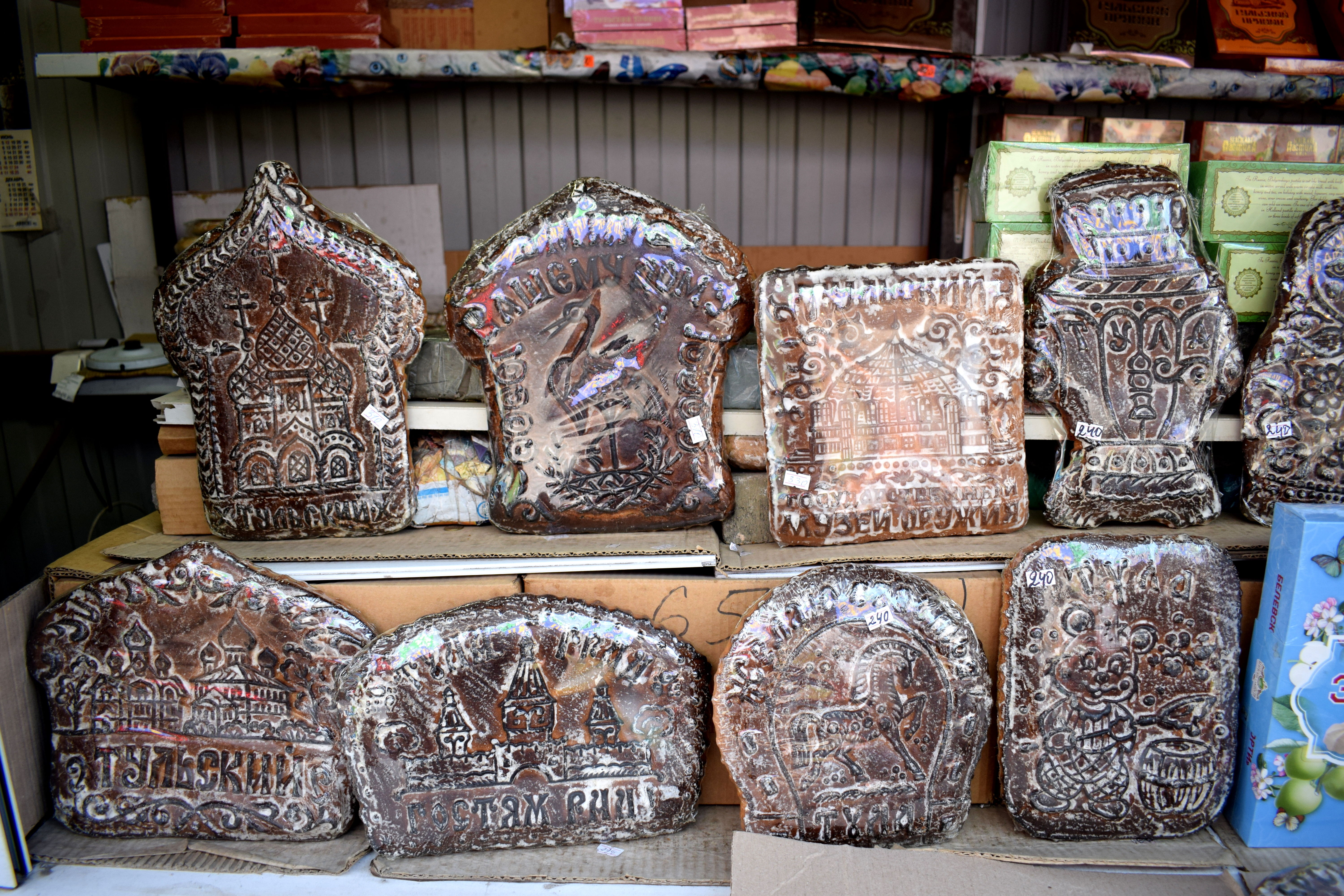
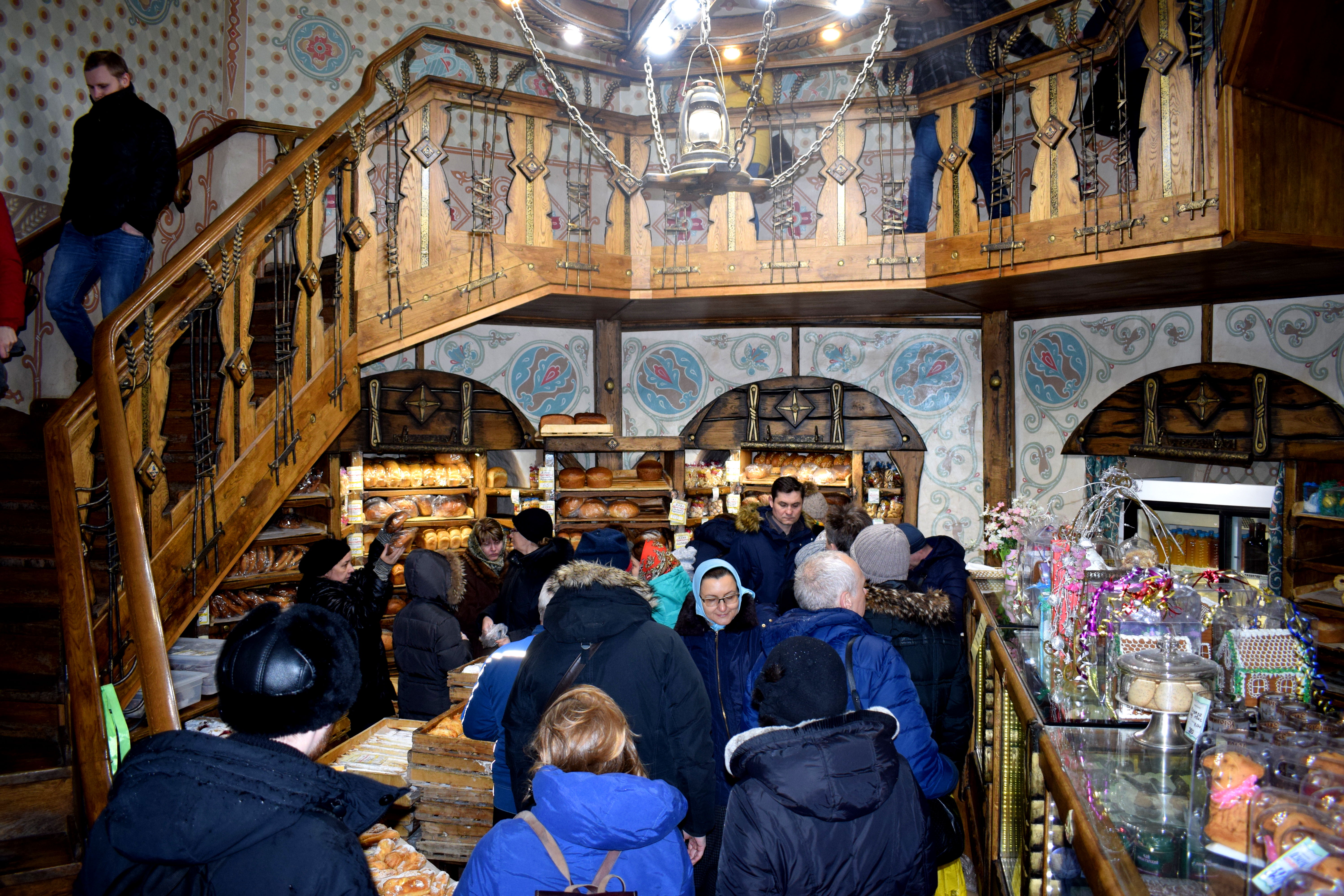
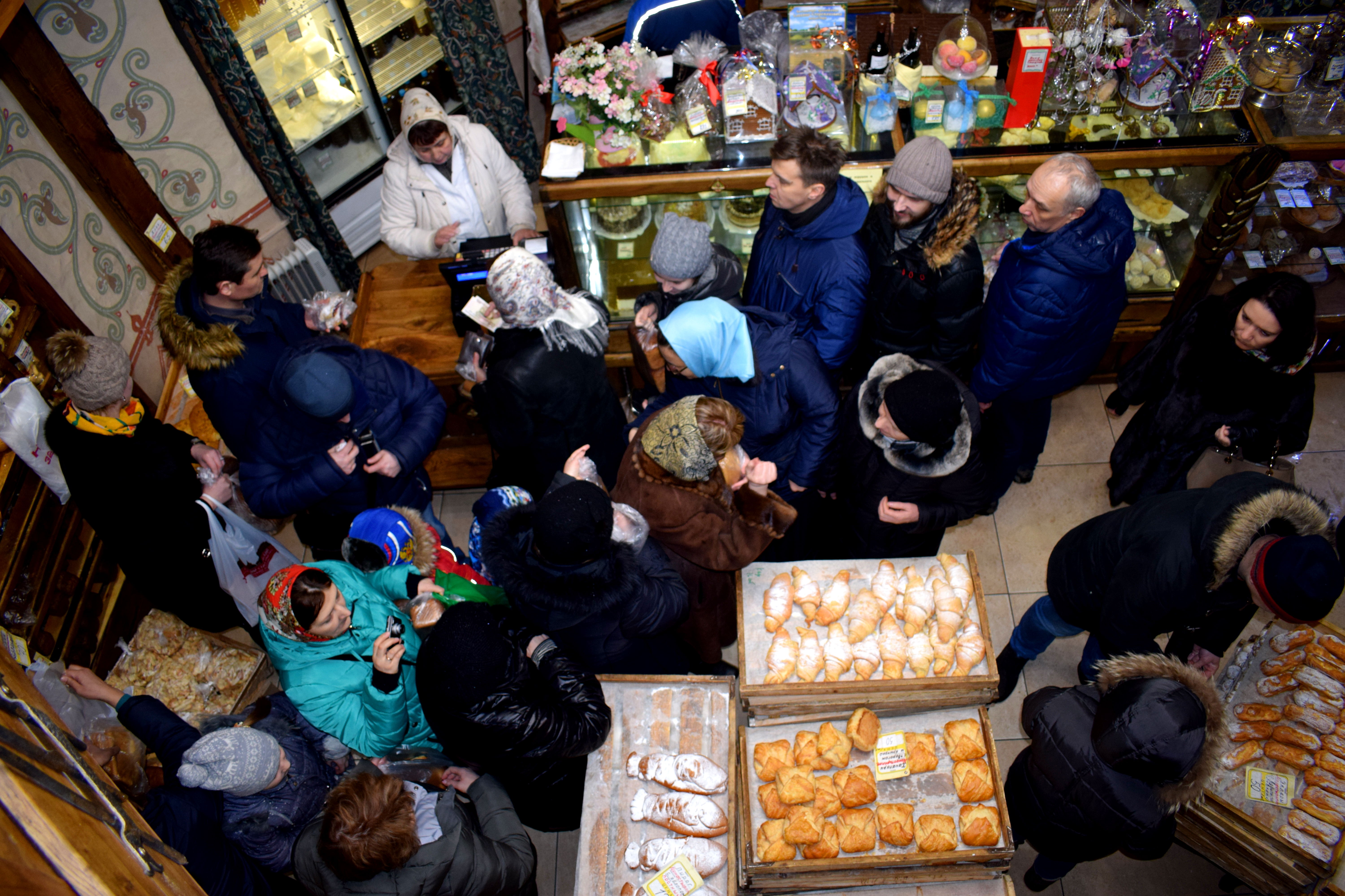
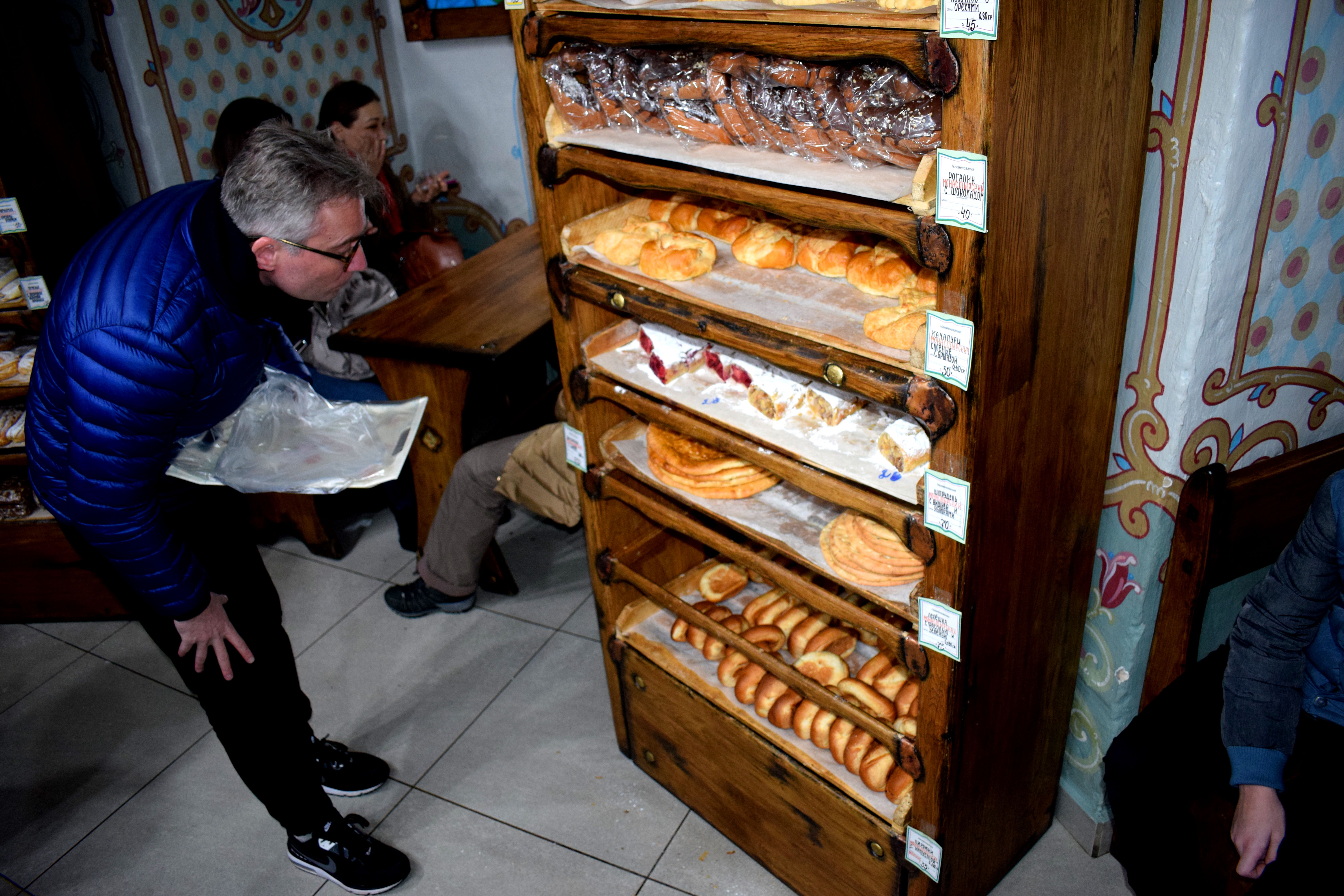
 But what Tula is really famous for is Russian gingerbread, a traditional Russian desert known as Pryaniki.
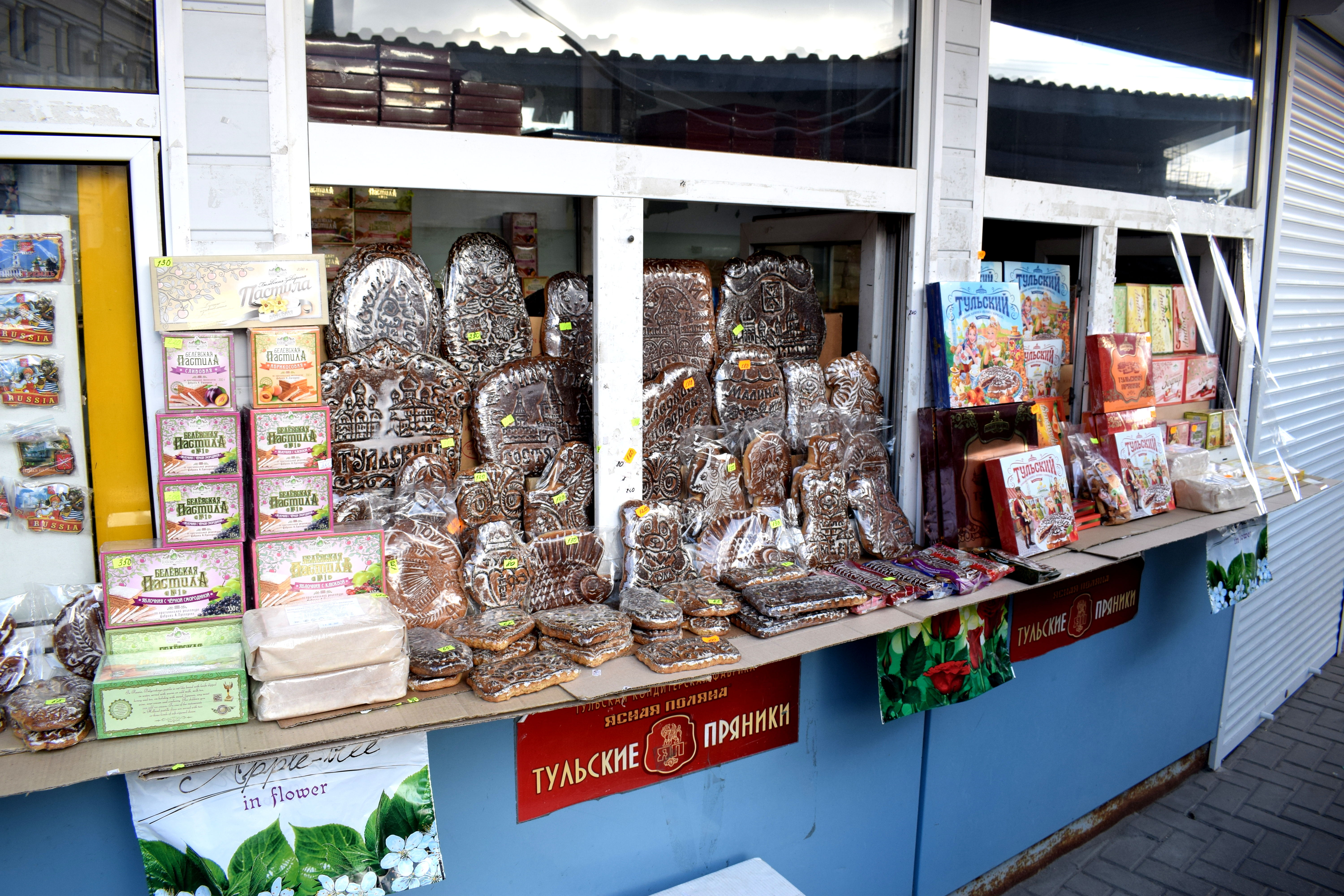 It comes with jam, honey or sweetened condensed milk inside, while the outside has cool drawings depicting traditional aspects of Russian culture. They were selling these right outside the train station and all over the city.
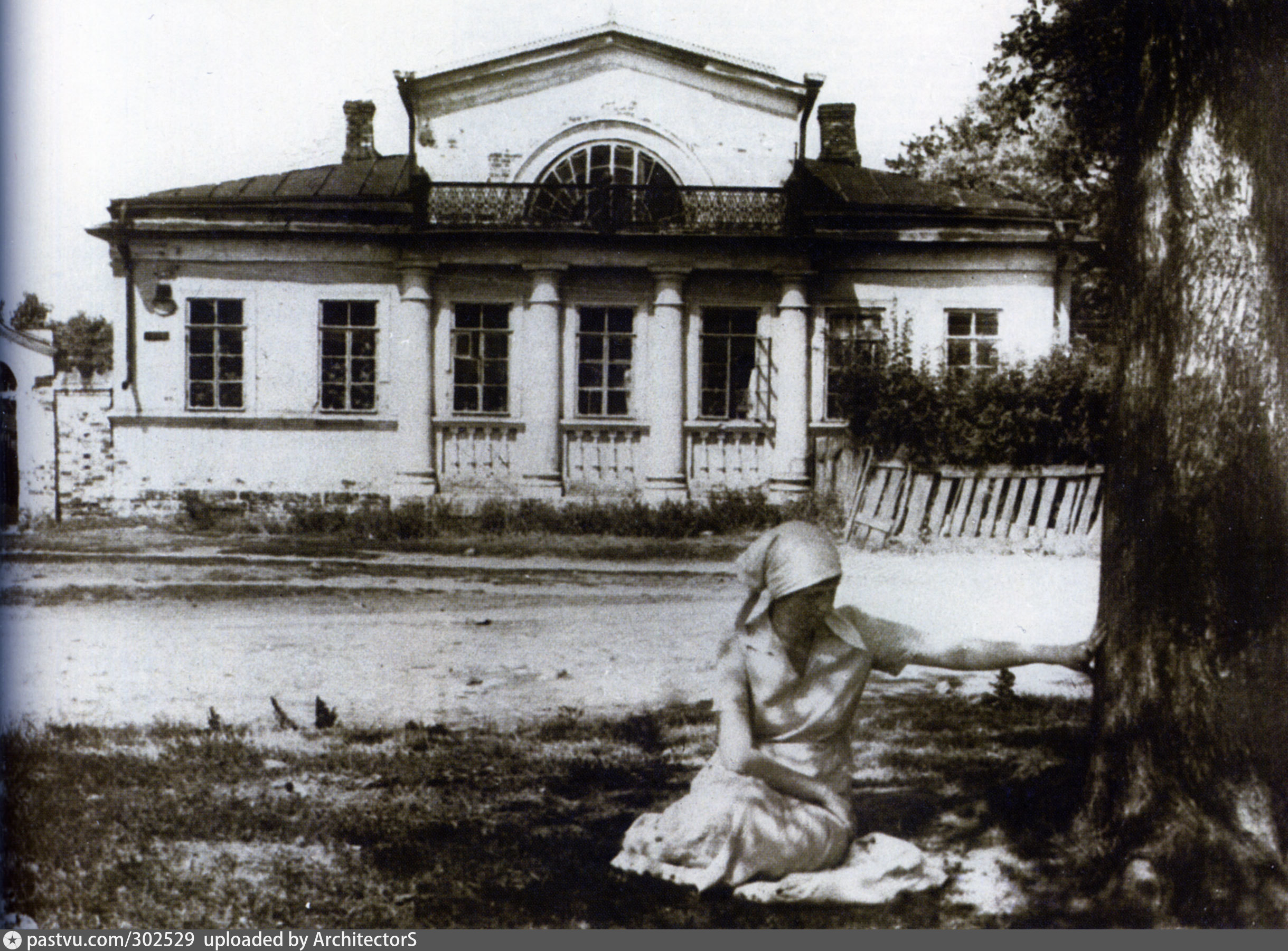
 When we got to the center we saw a huge black and white photo of what Tula looked like before the communists took power in 1917.
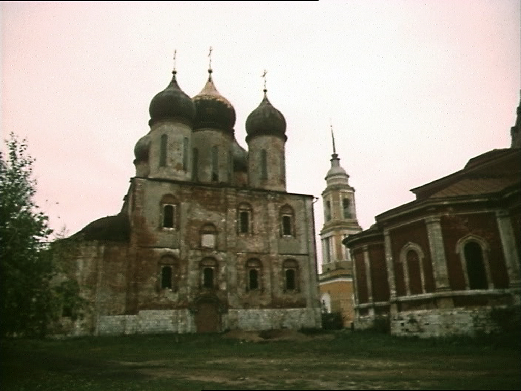
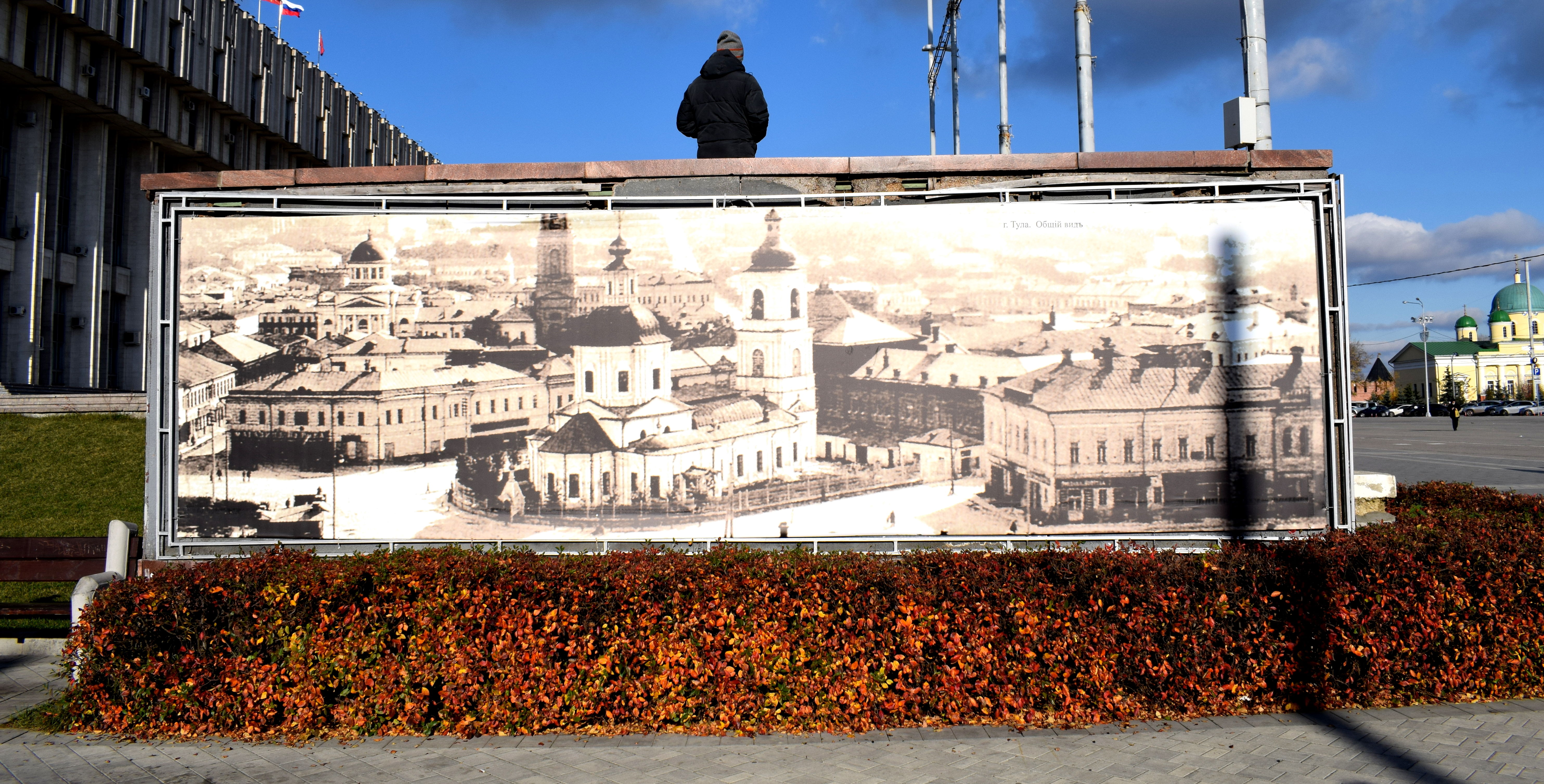 As you can see the center was dominated by a Russian Orthodox Cathedral. Like most Russian cities, Tula suffered a tragic fate after the Bolshevik revolution. The church in the photo above was located in the central square of the city and stood as a historical symbol of the town for generations. It was torn down in the 1920s, just like the majority of the surrounding buildings in the photo. Stalin wanted to implemented his vision of a communist future at all costs, and any symbols of the previous Czarist order were to be erased.
Churches all across the Soviet Union were declared to have ‘no historic value’ and torn down. Churches that were several centuries old. Comunist style administration buildings were put in their place. Monuments to Russian czars were also destroyed and replaced by statues of Lenin.
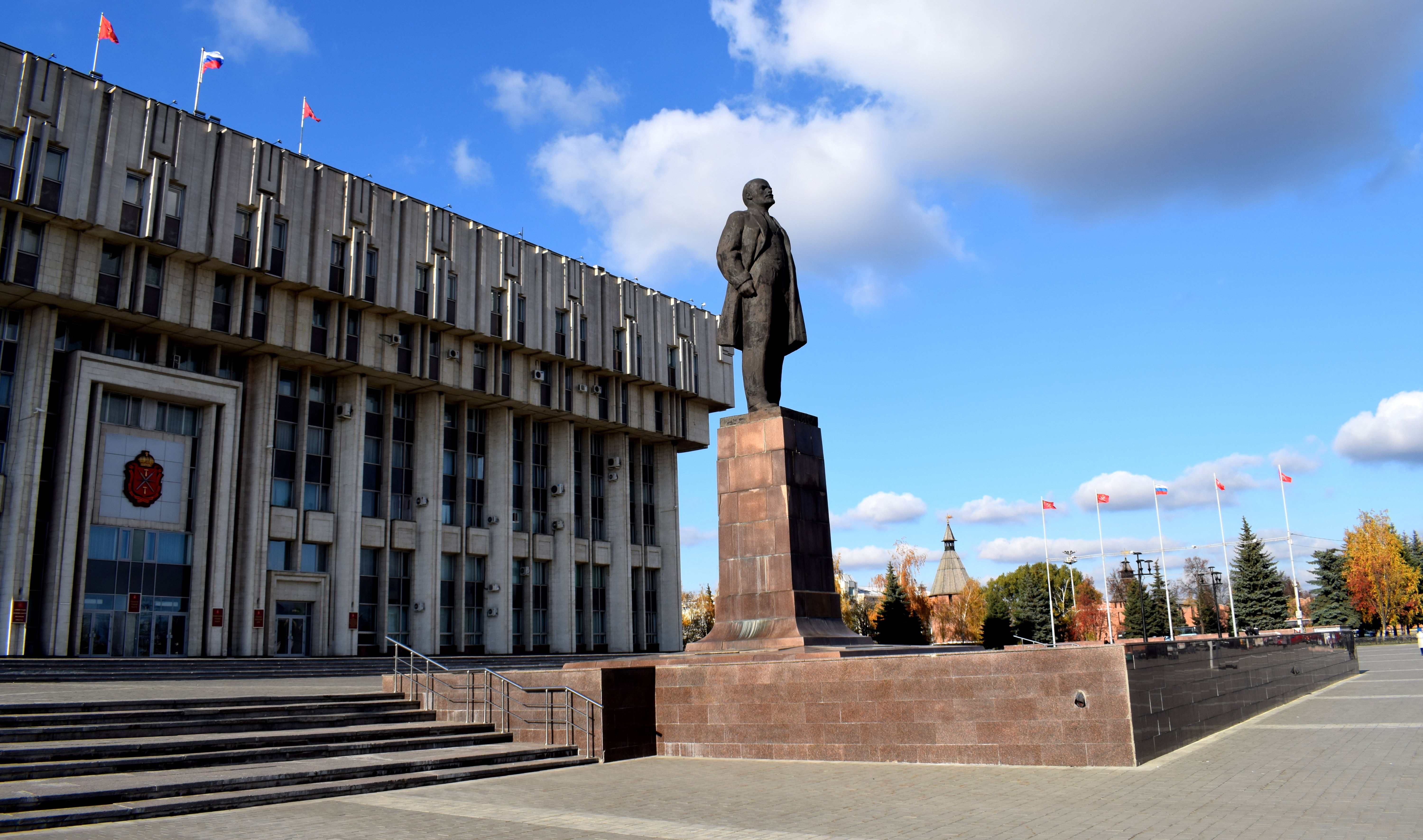
Tula didn’t escape this fate. Here is Tula’s central square in 2017. All of those old buildings in the black and white photo above showing Tula before the revolution are gone.
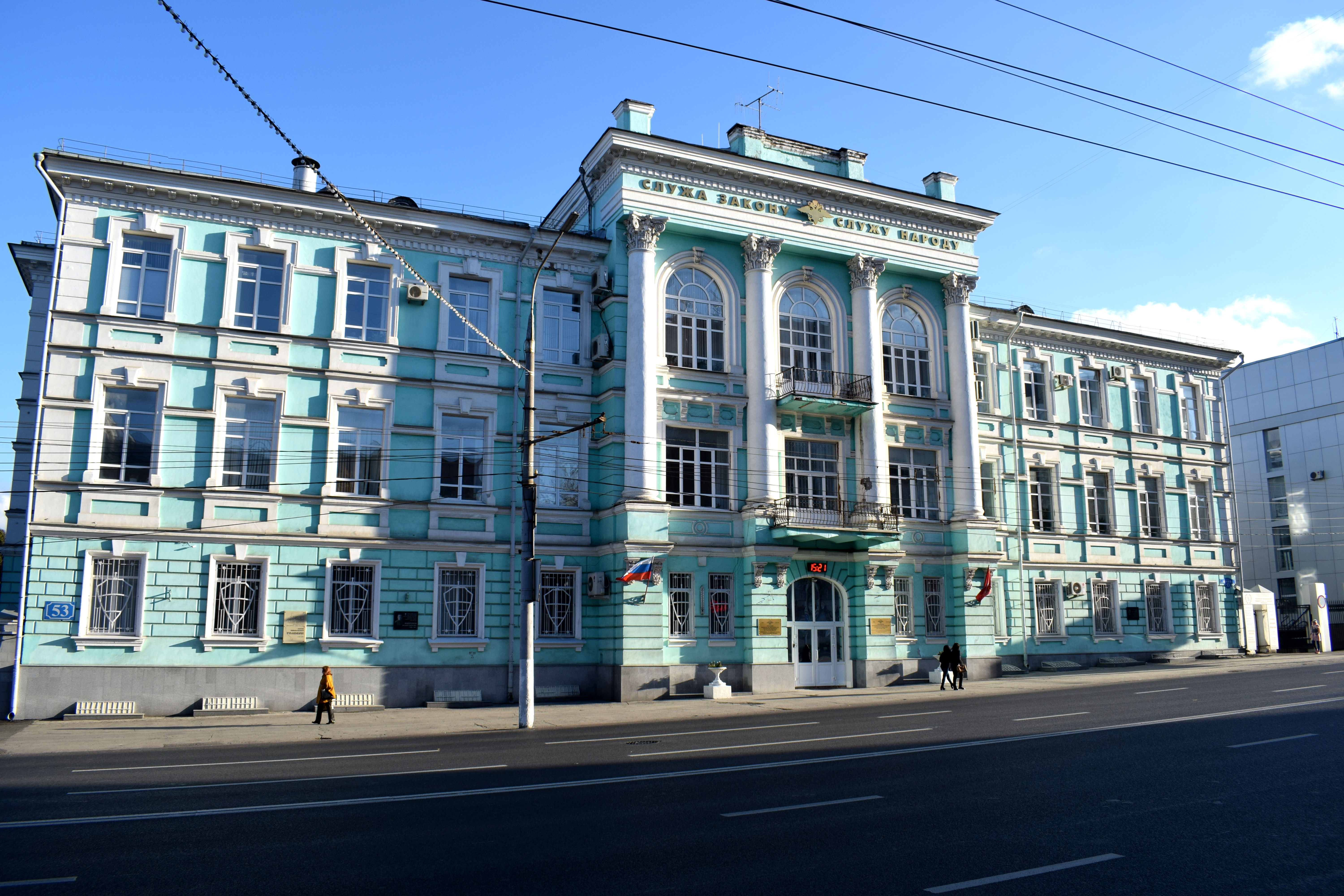
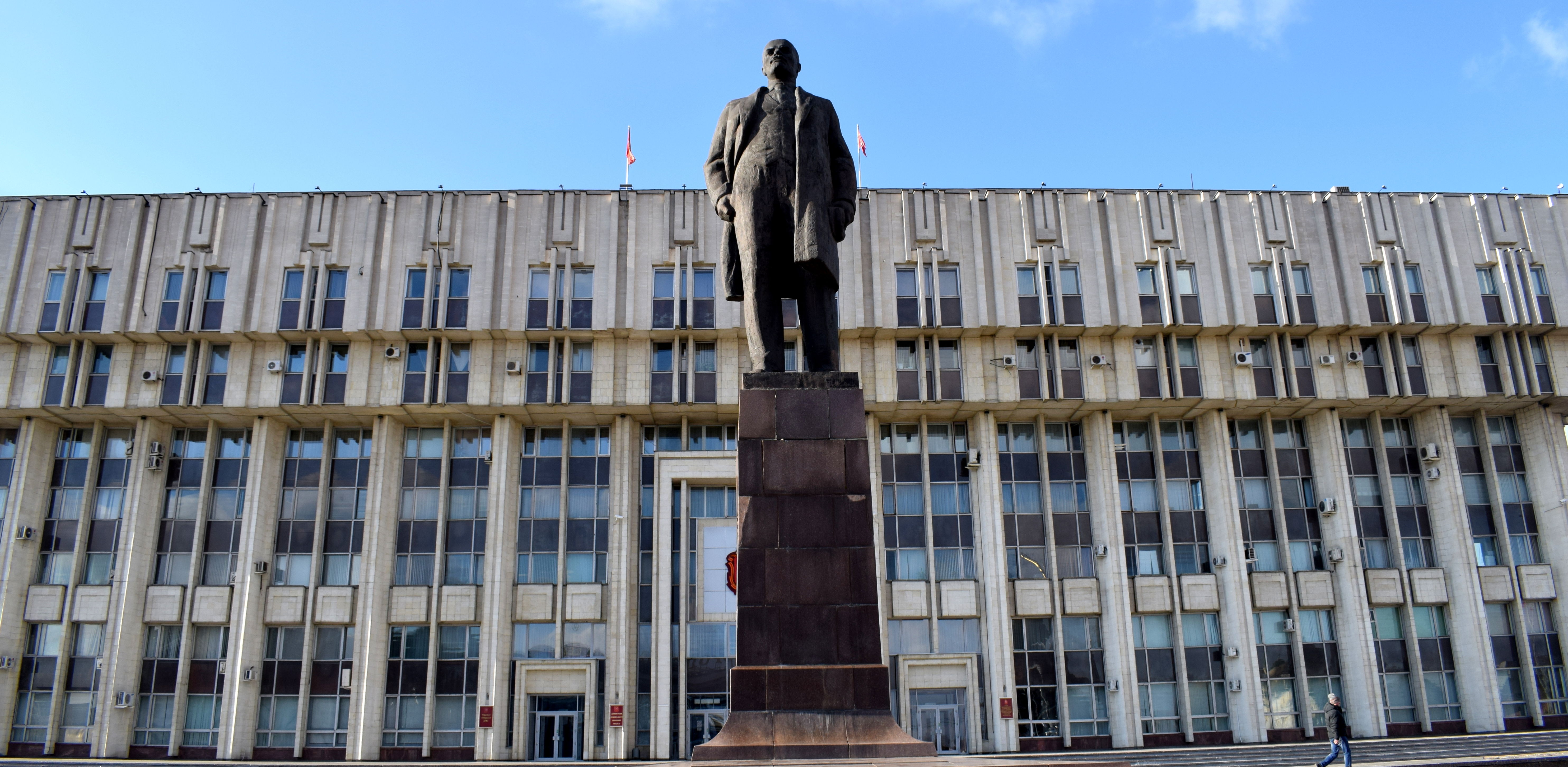 The enormous grey building behind Lenin is where Tula’s church used to stand. Today it is the administrative building of Tula and the Tula Oblast.
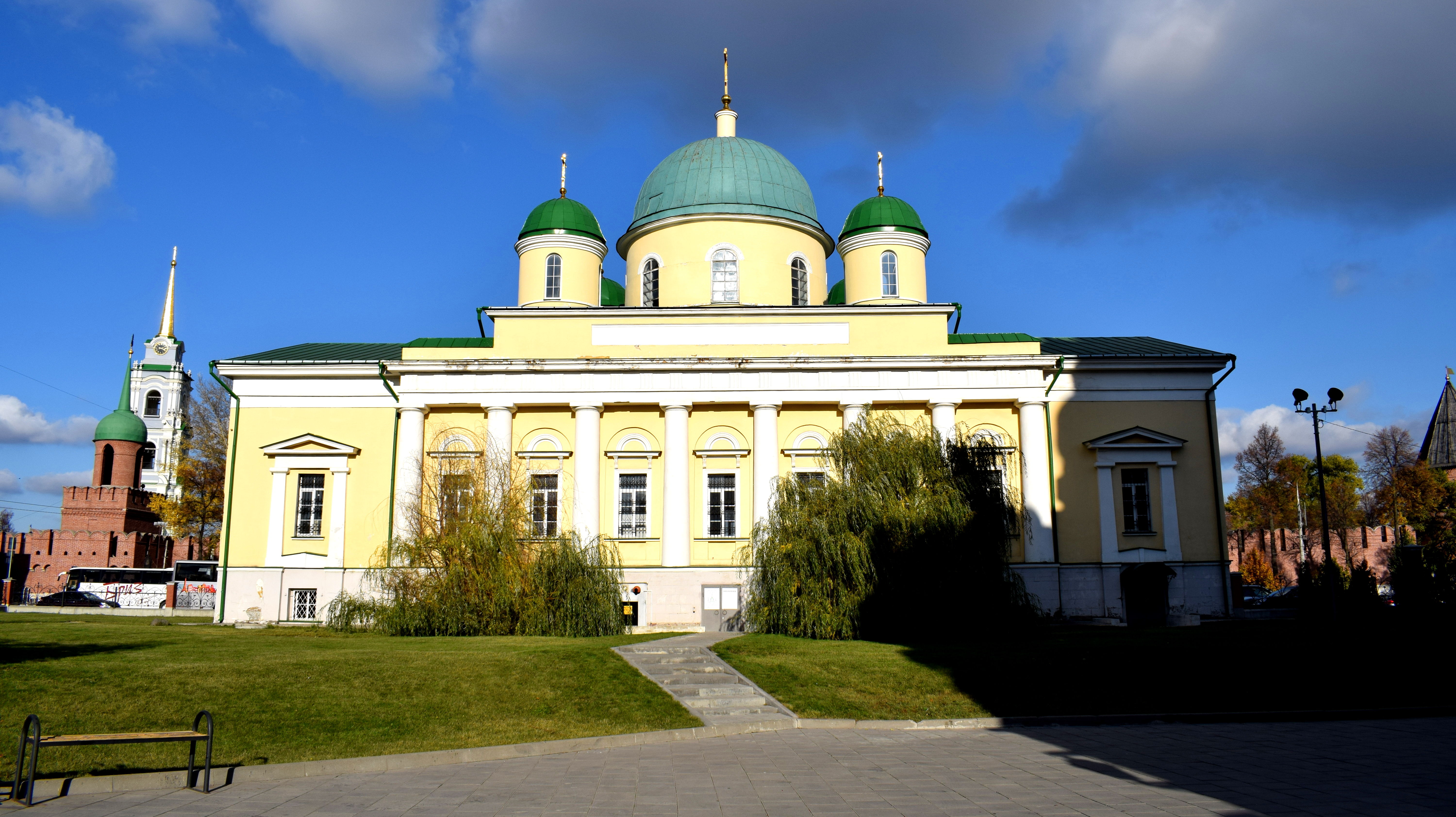
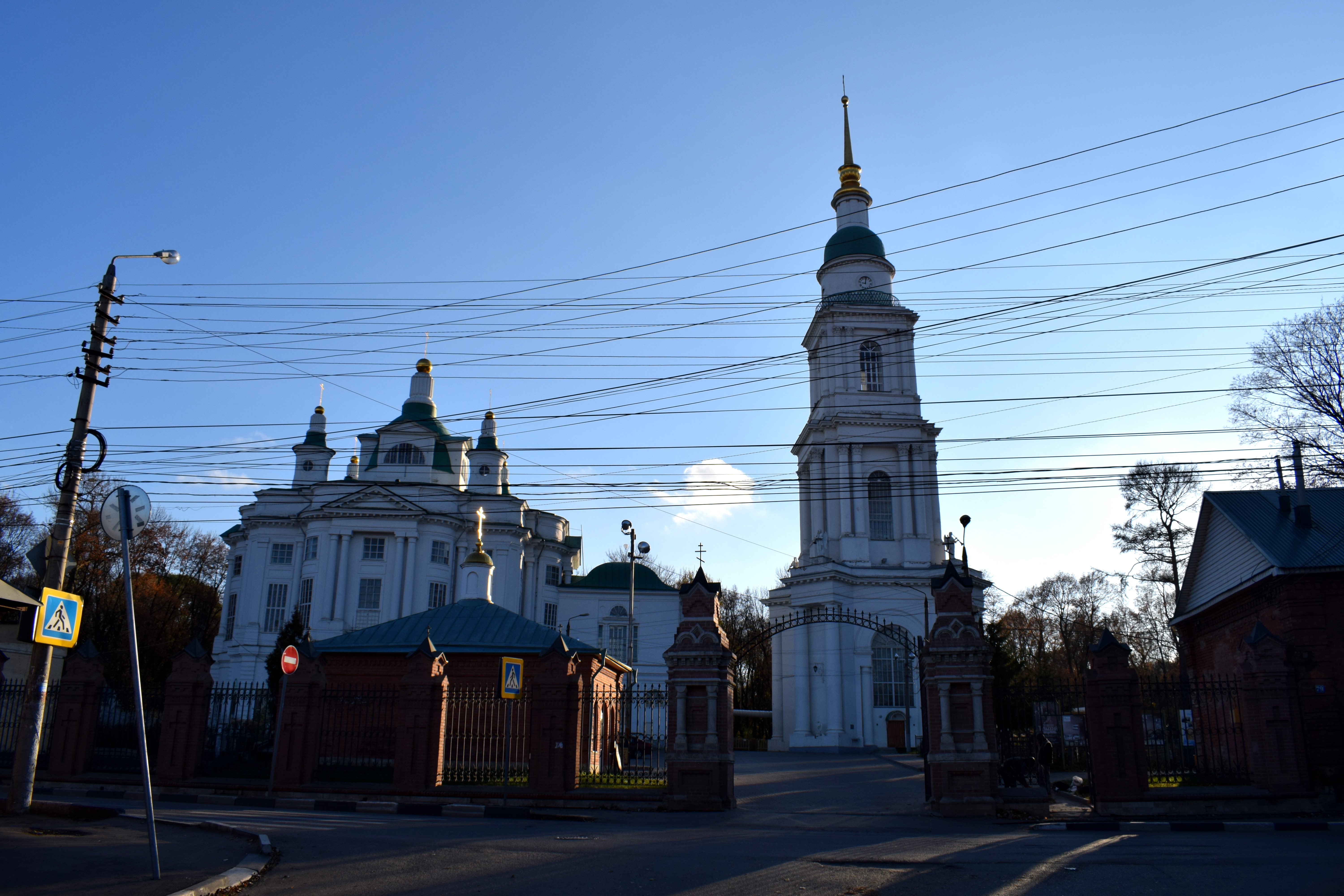
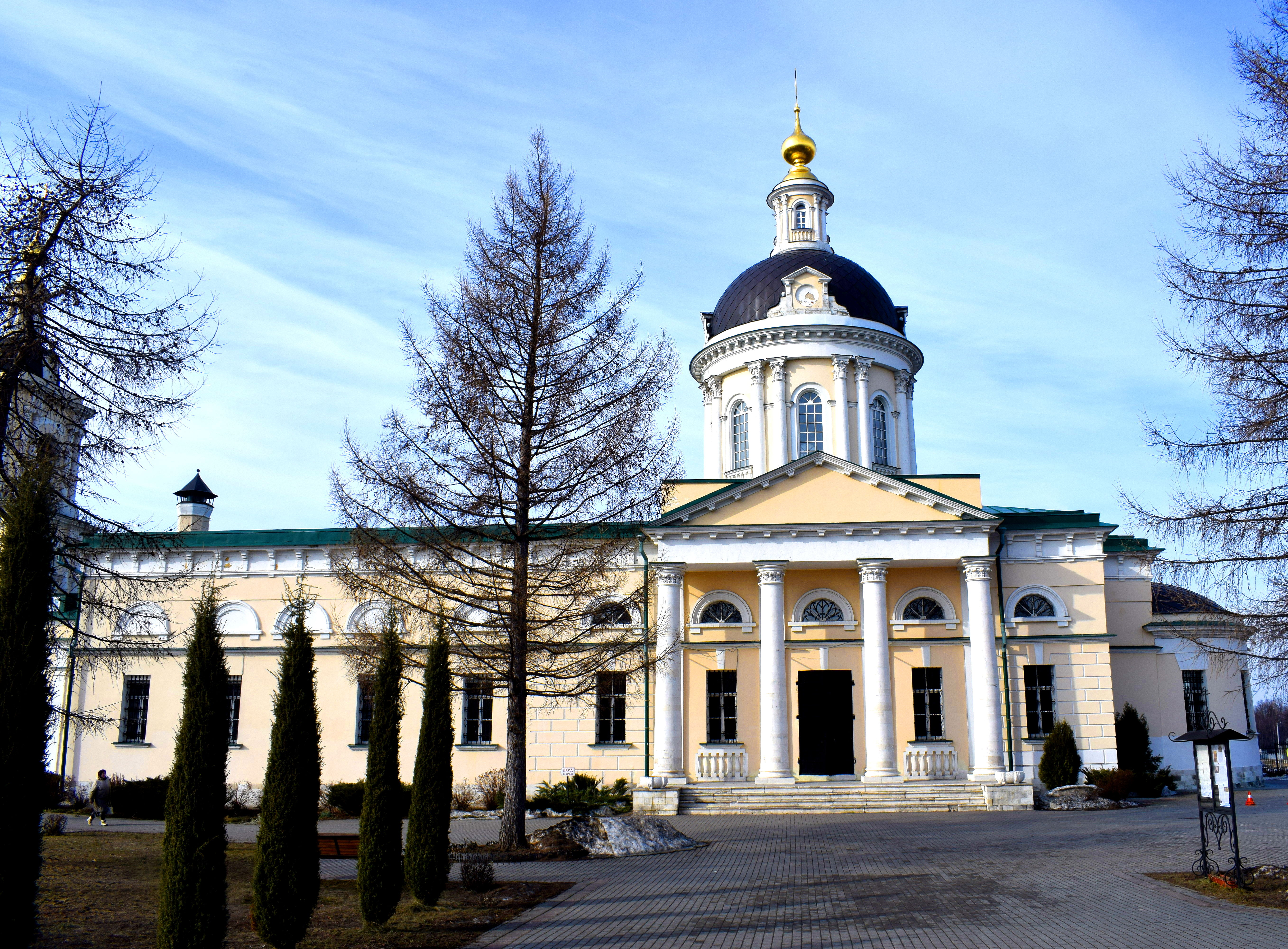
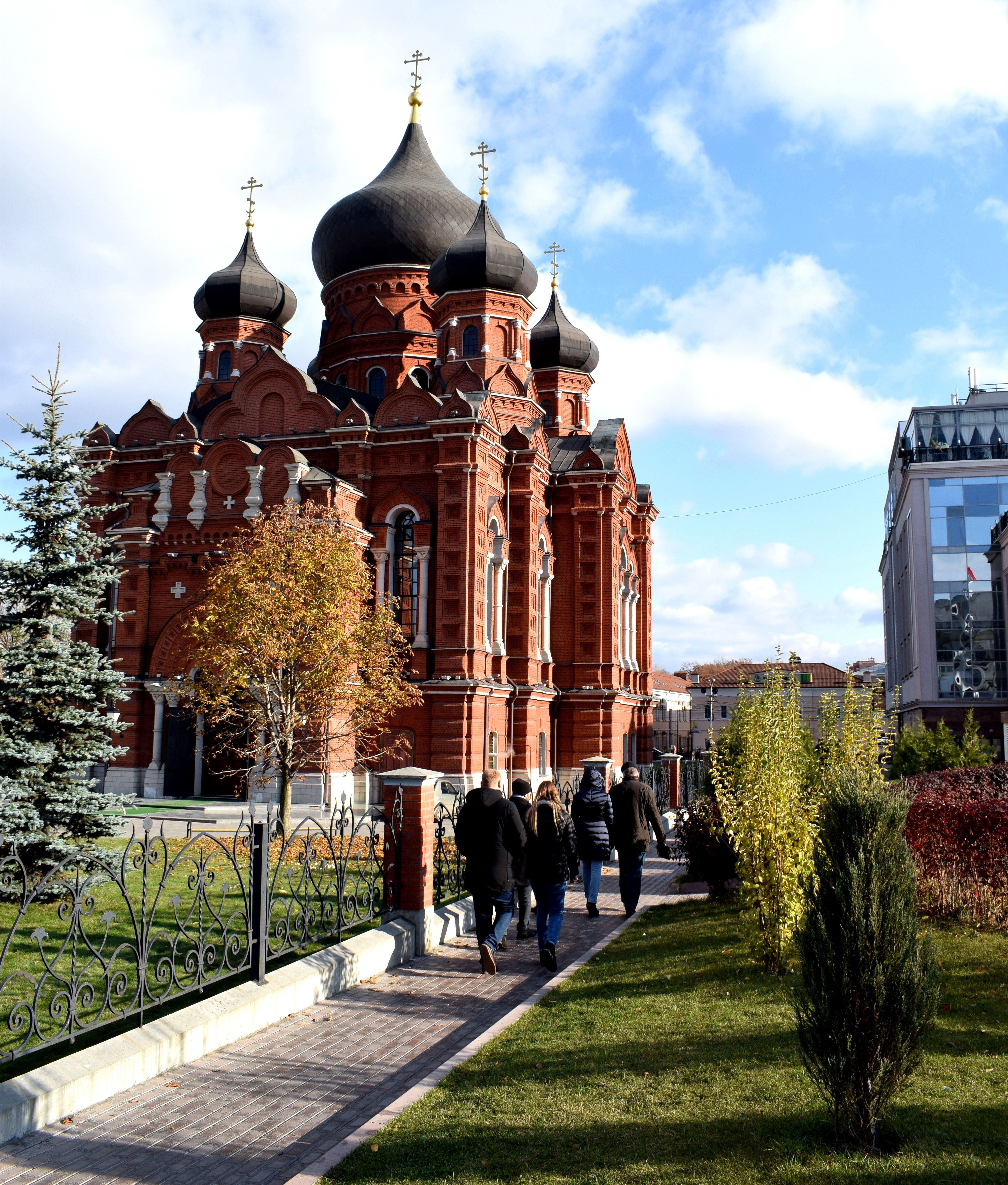 Of course, not all of Tula was destroyed during the Soviet period. Nearby the statue to Lenin is the Uspensky Sobor, one of the few churches that survived the destruction of the 1920s.
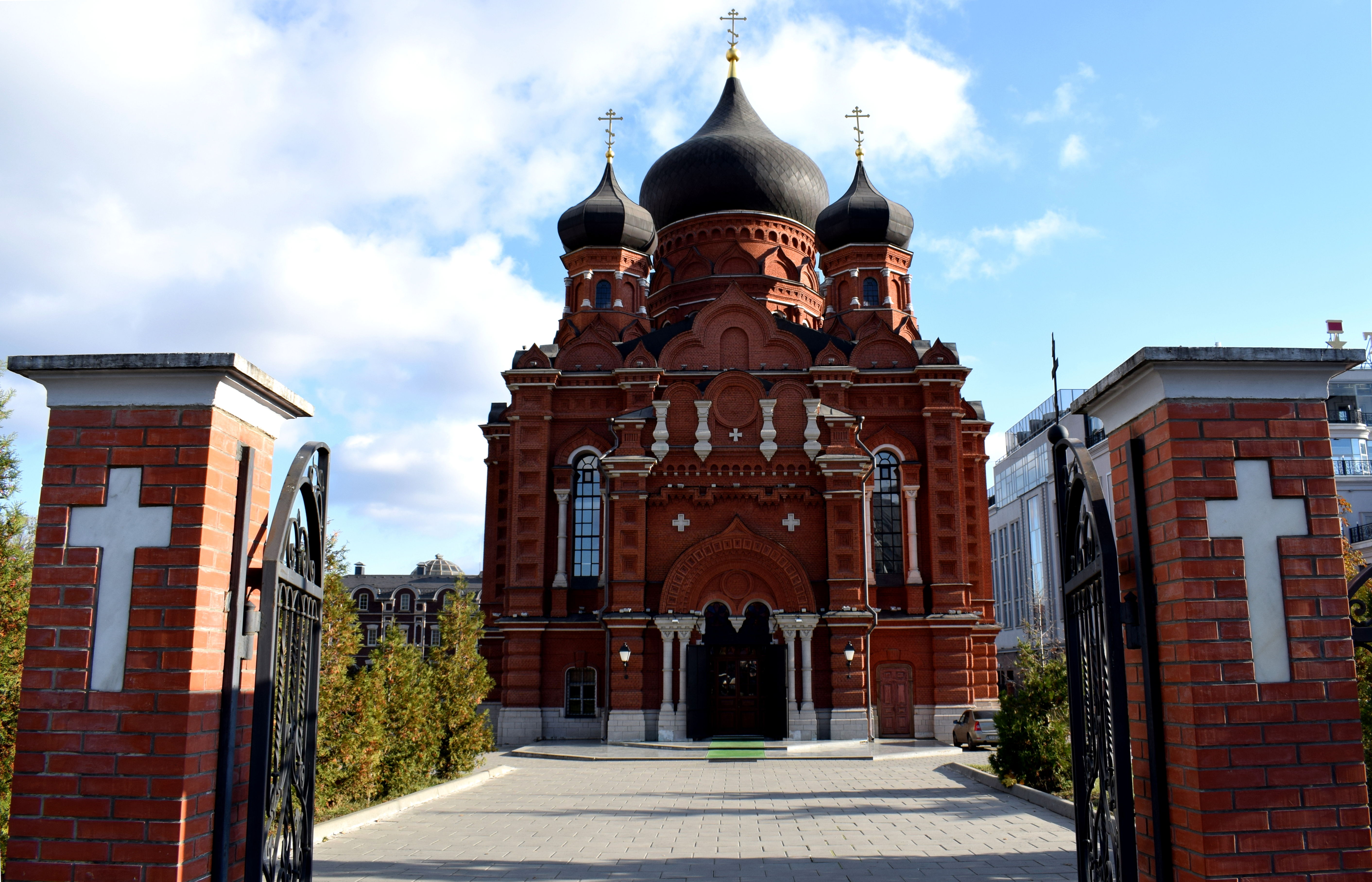 The Uspensky Sobor was built between 1898-1902. The Soviet authorities actually tried to blow up the church in the 1930s, but miraculously the church withstood the blast. A decision was then taken to empty it of all its religious artifacts and close it down. The domes were removed and the building was used as storage for the city’s archives.
In the 1980s under Gorbachev an effort was made to restore churches that had been neglected for decades under communism. The domes were put back in place and religious services began once more.
In 2006 the building was finally returned back to the Russian Orthodox Church. Somehow, Tula’s Uspensky Sobor managed to survive 80 years of neglect under Soviet rule. Let’s hope the 21st century treats it better.
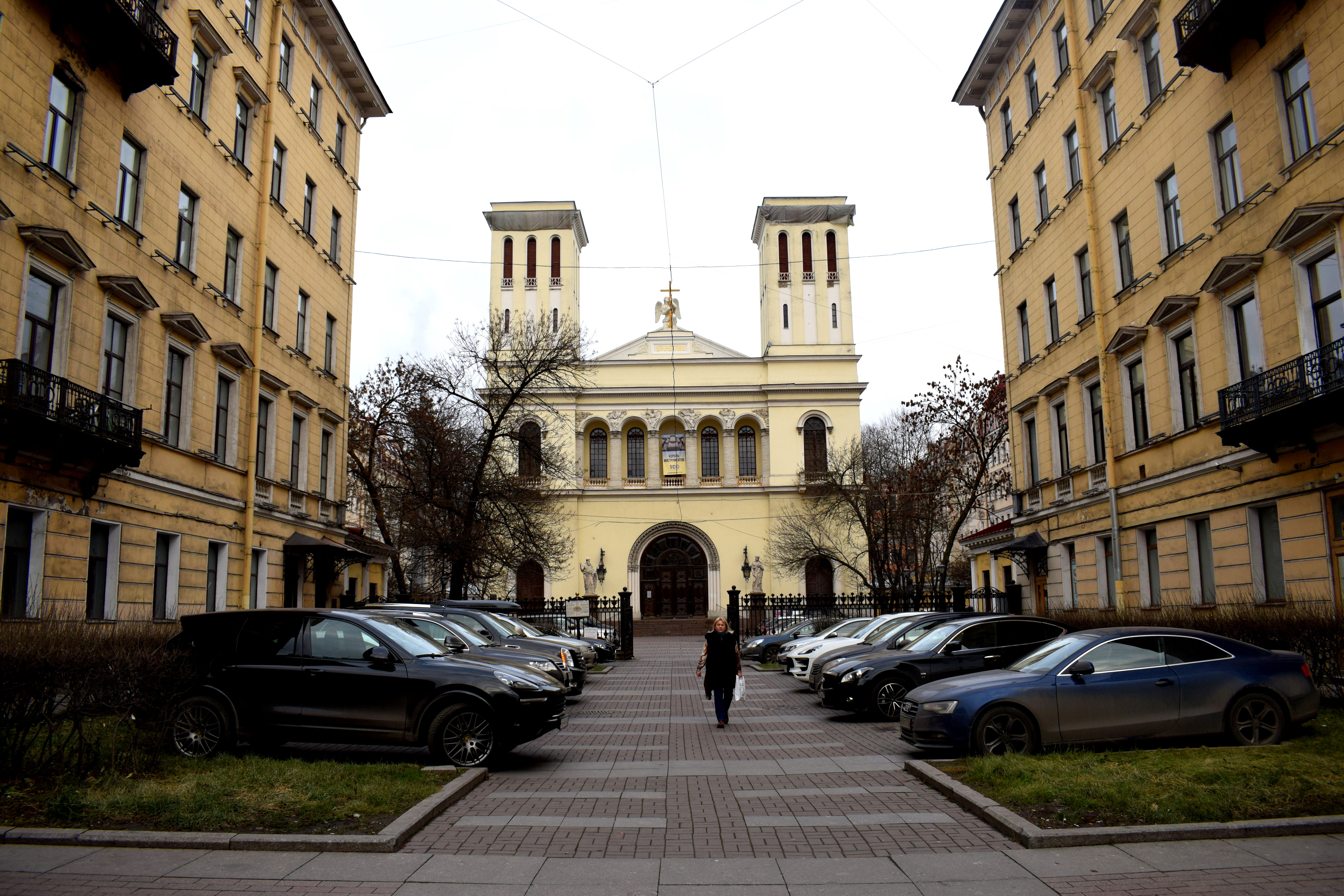
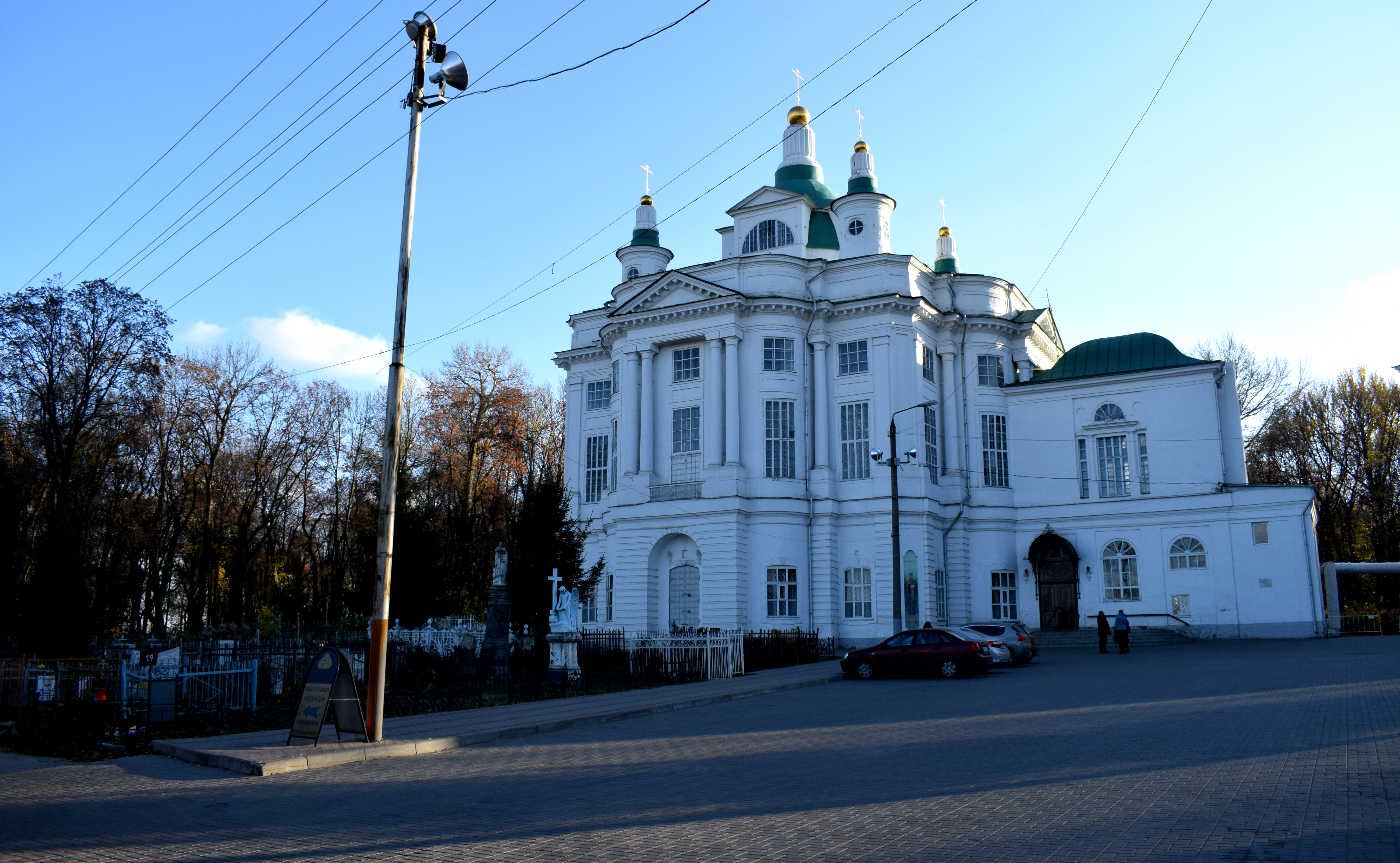
 Next to the Uspensky Sobor is Tula’s Preobrazhensky church. Built in 1842 in the Russian classical style, it is another building from the first half of the 19th century that still stands in the city.
It too faced threats of disappearing forever under the communists. In the 1920s the dome was torn down but the remainder of the building was left untouched. For a while it functioned as a school, and then in 1960 the building was deemed to be part of the city’s architectural heritage and received protected status.
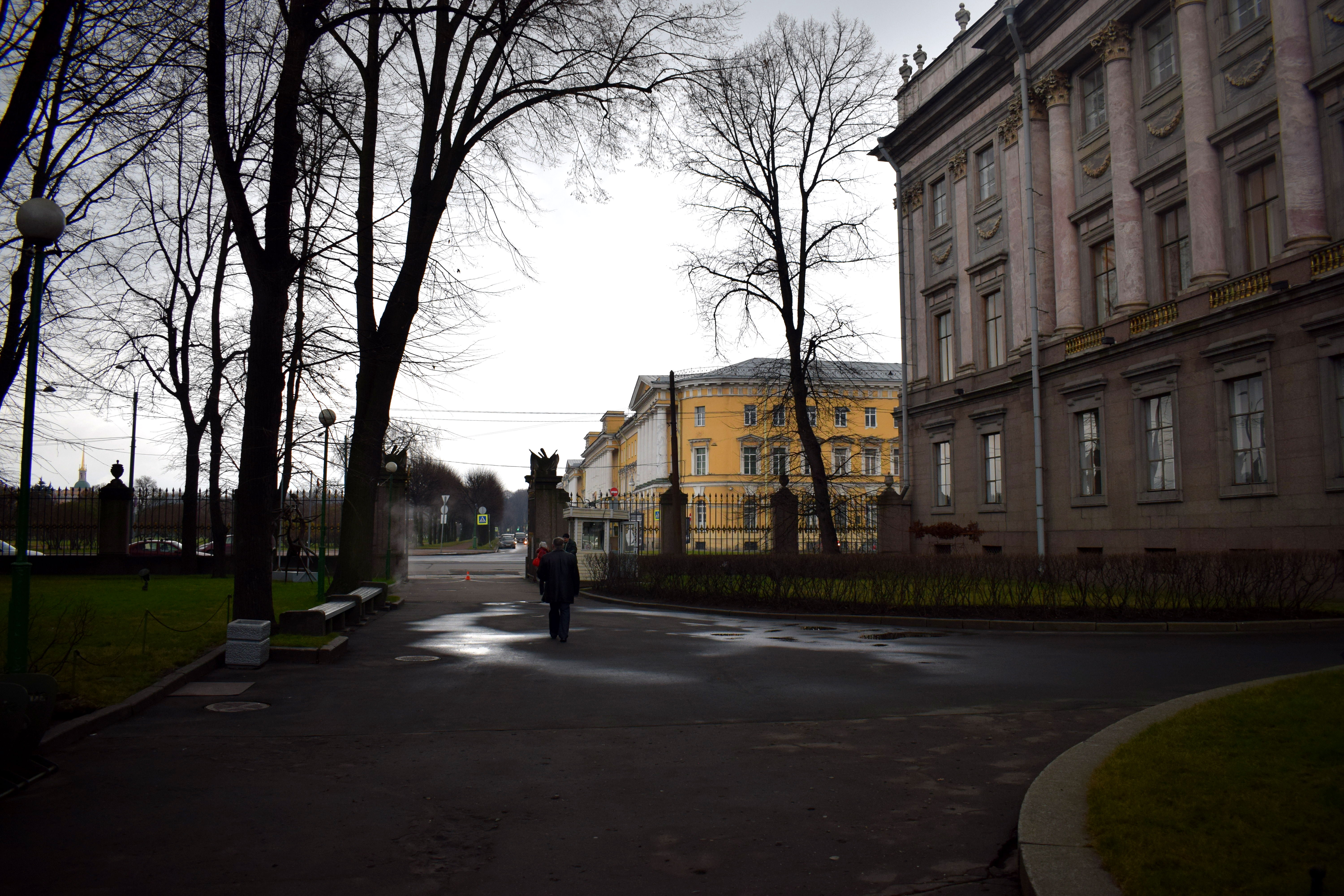
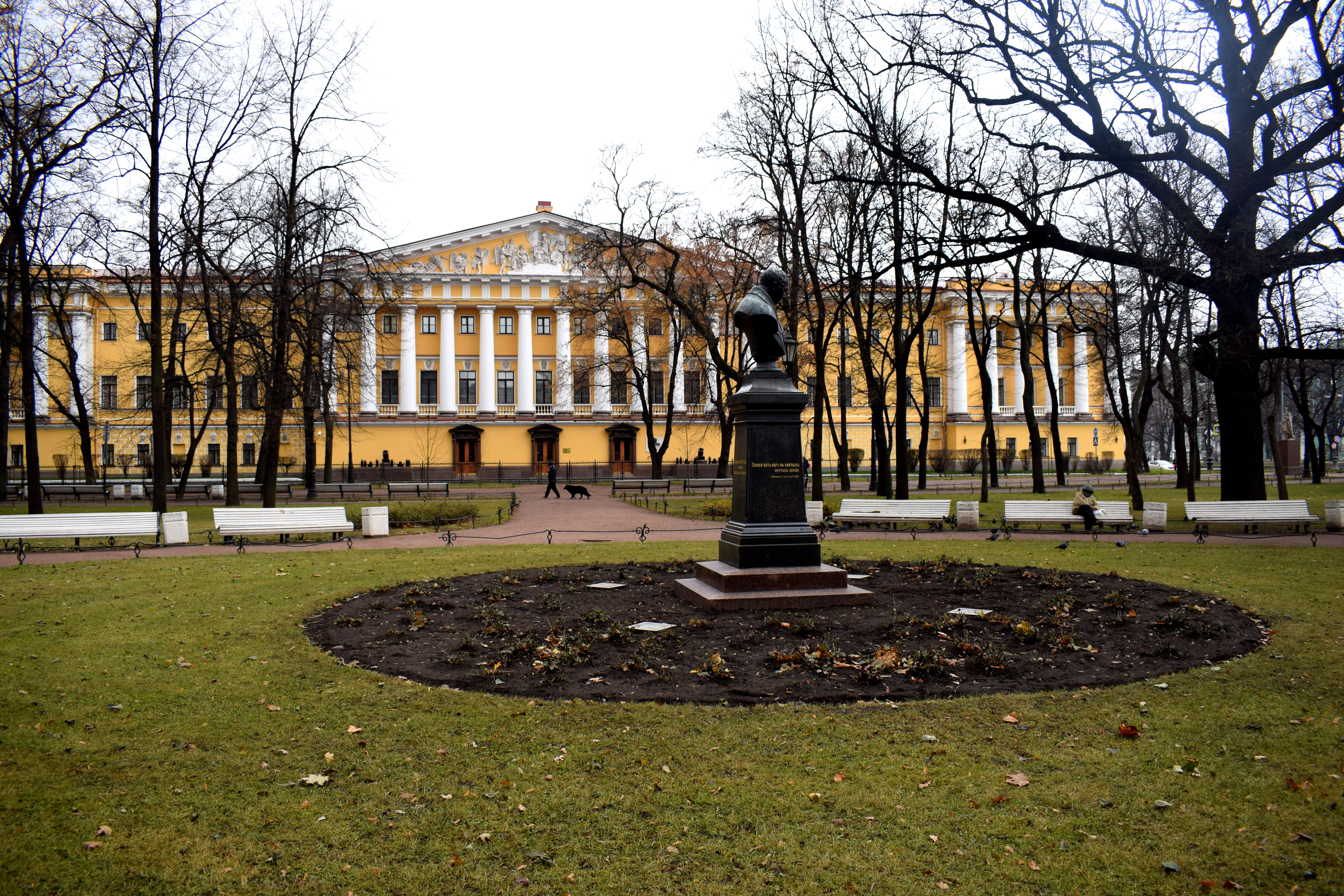
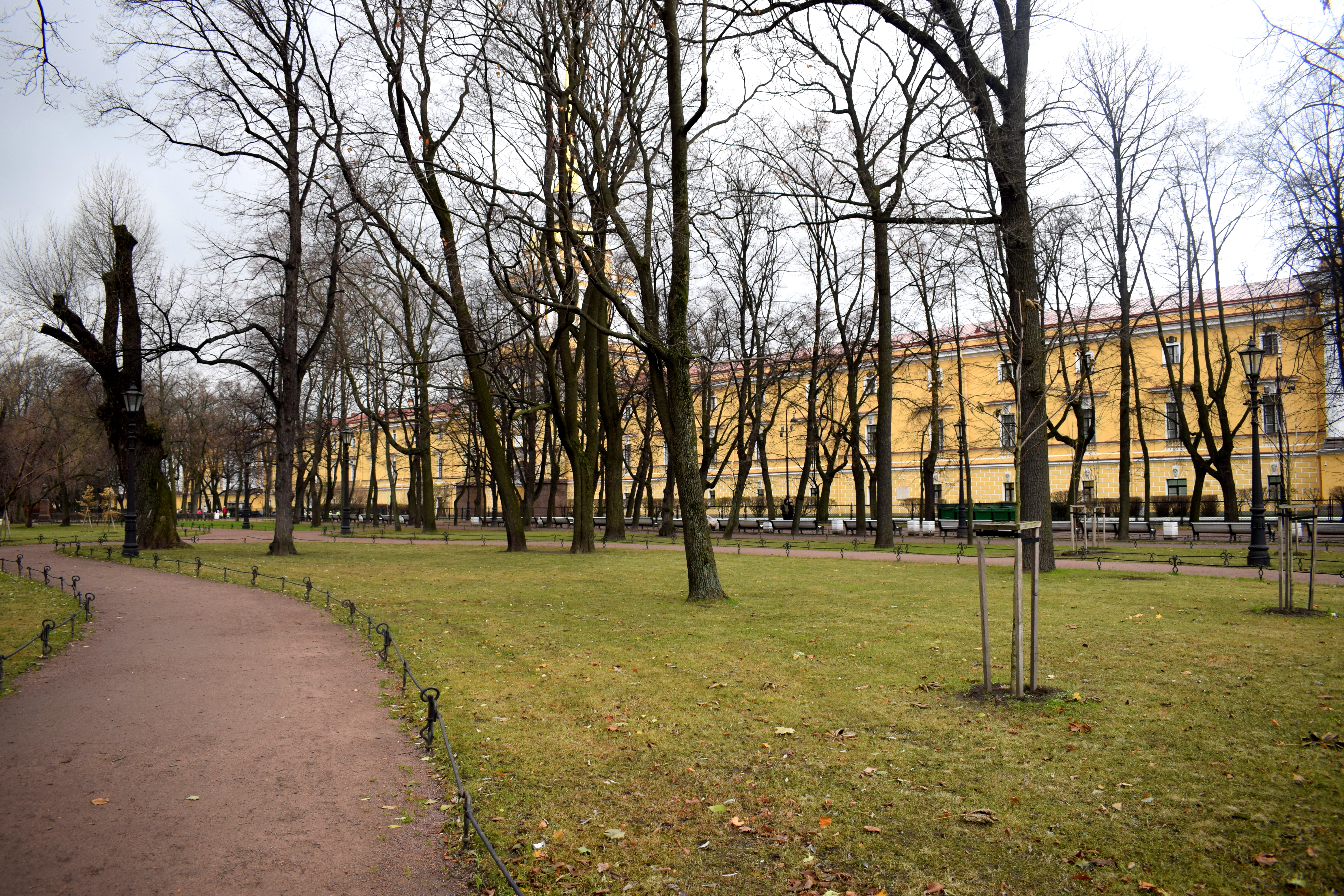
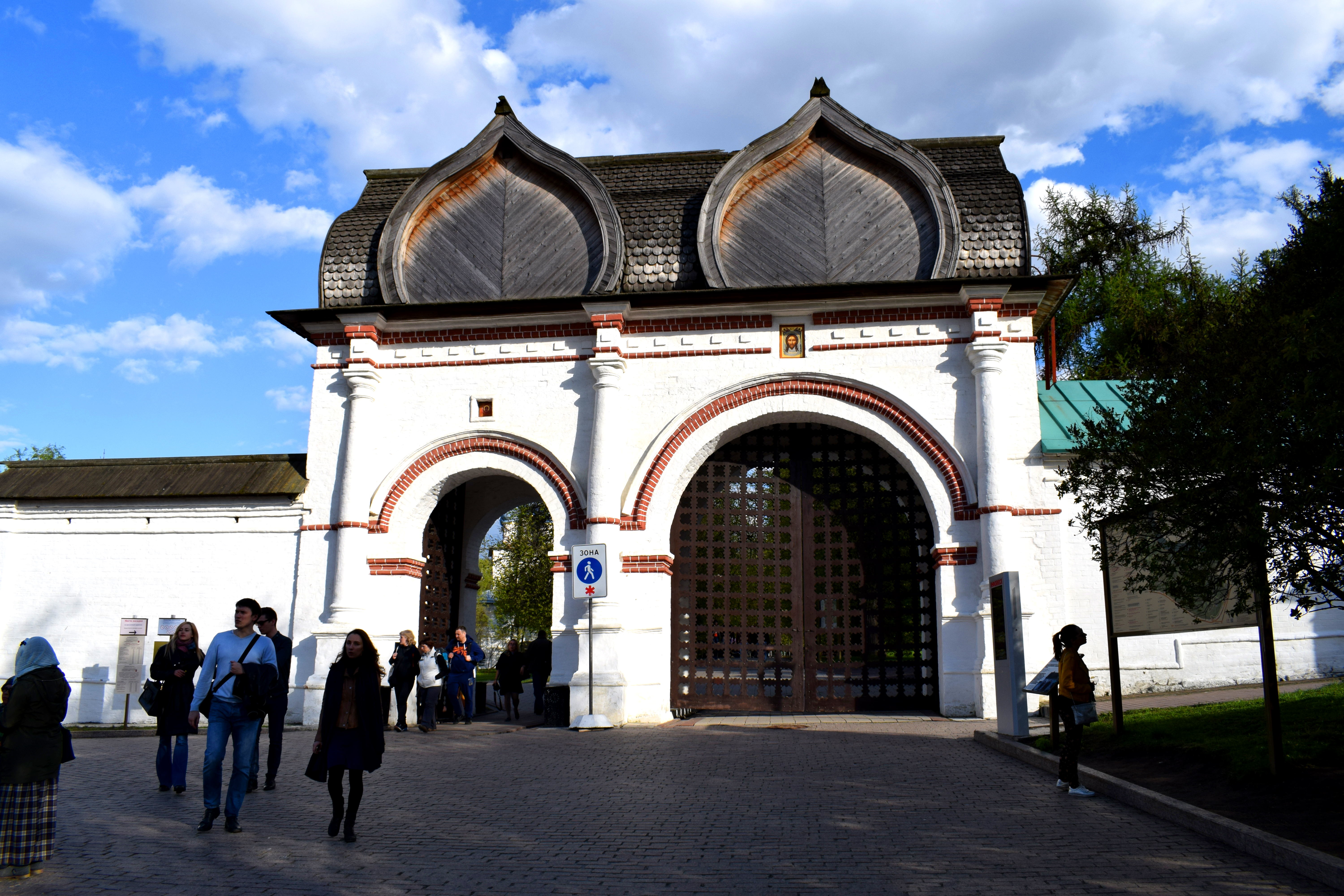
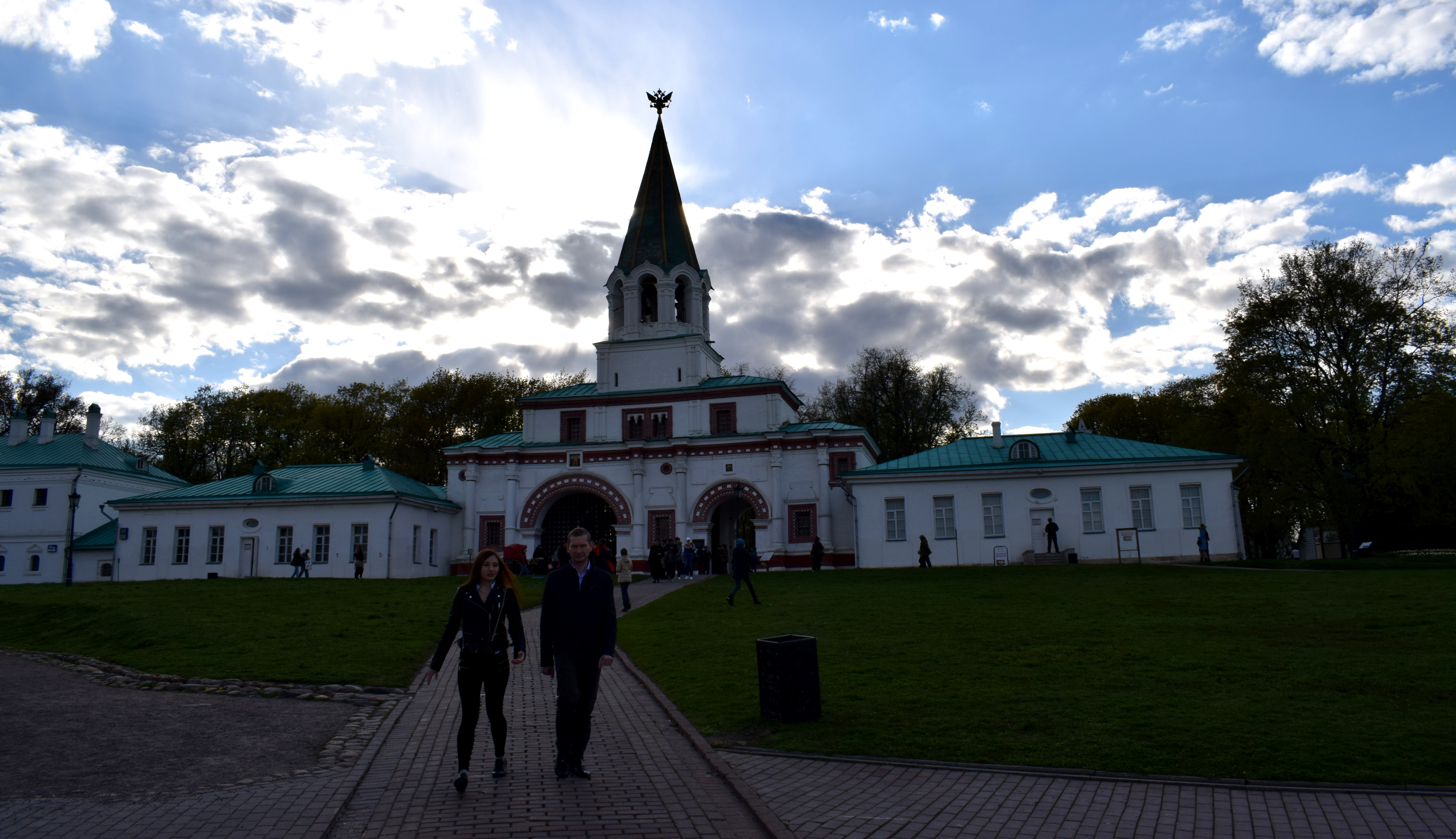
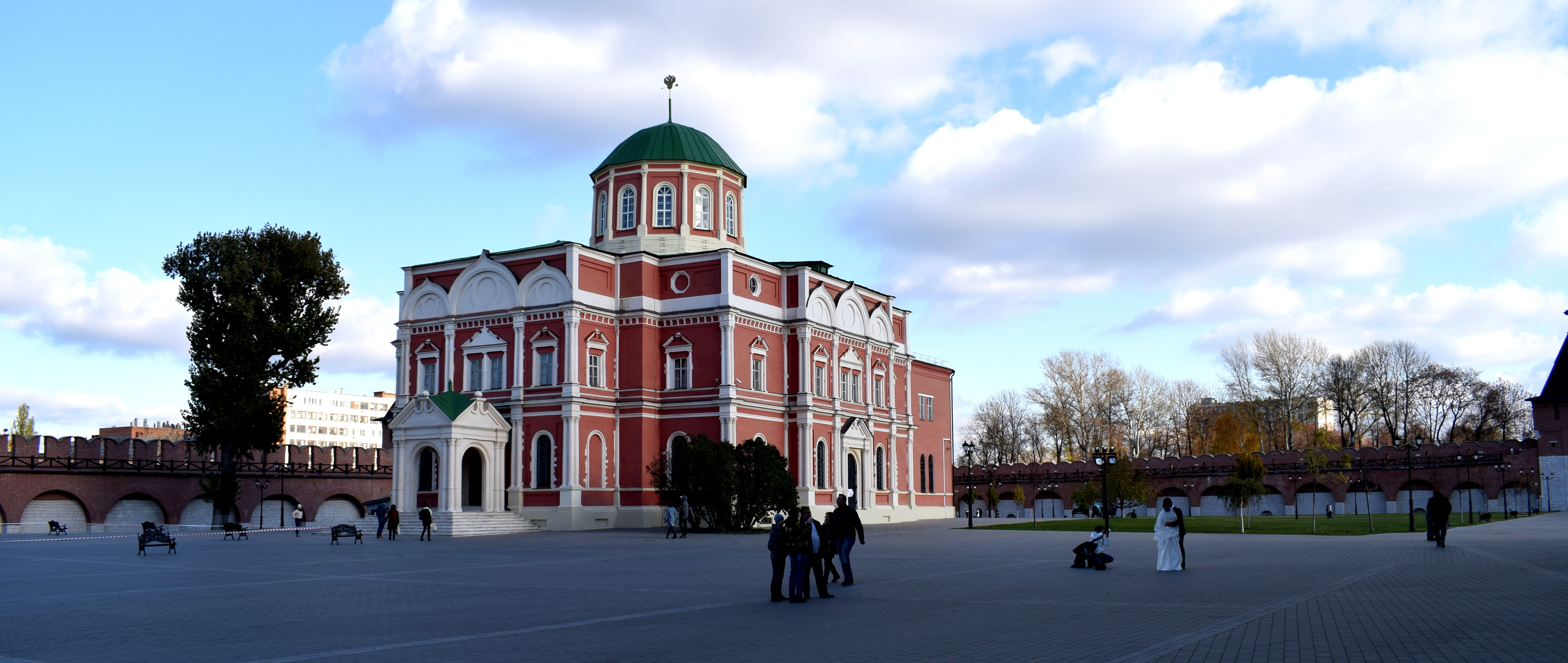
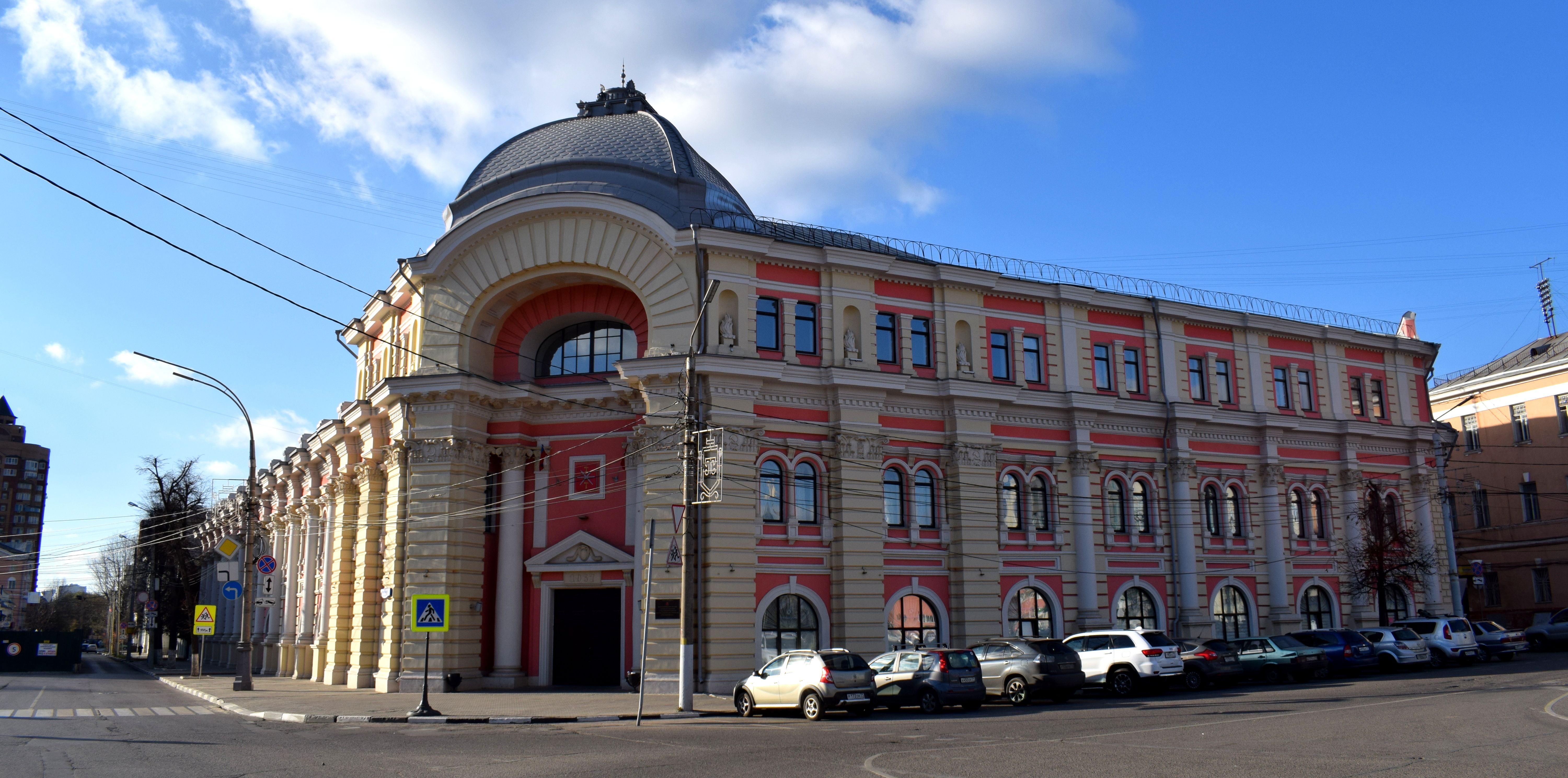
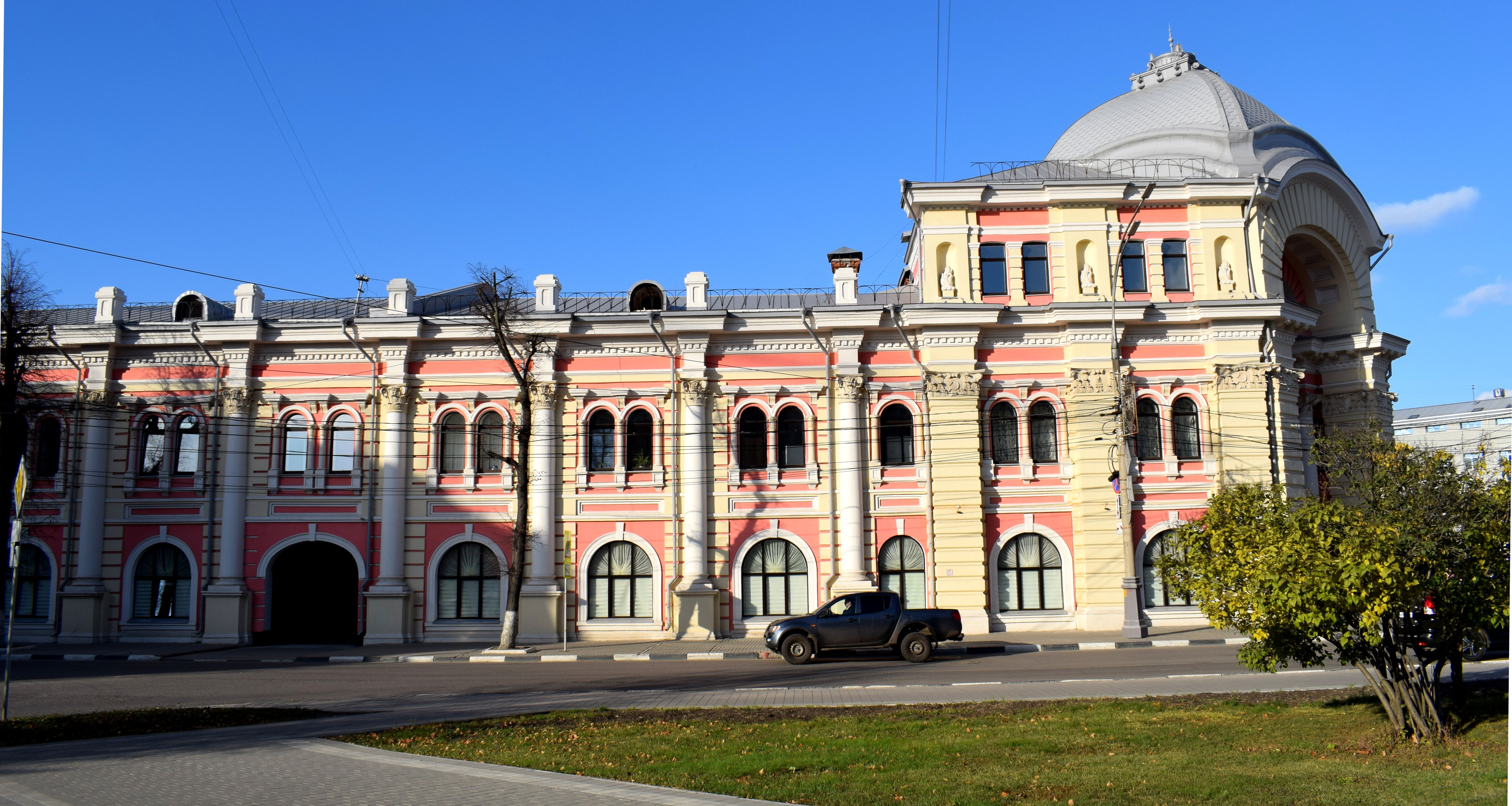
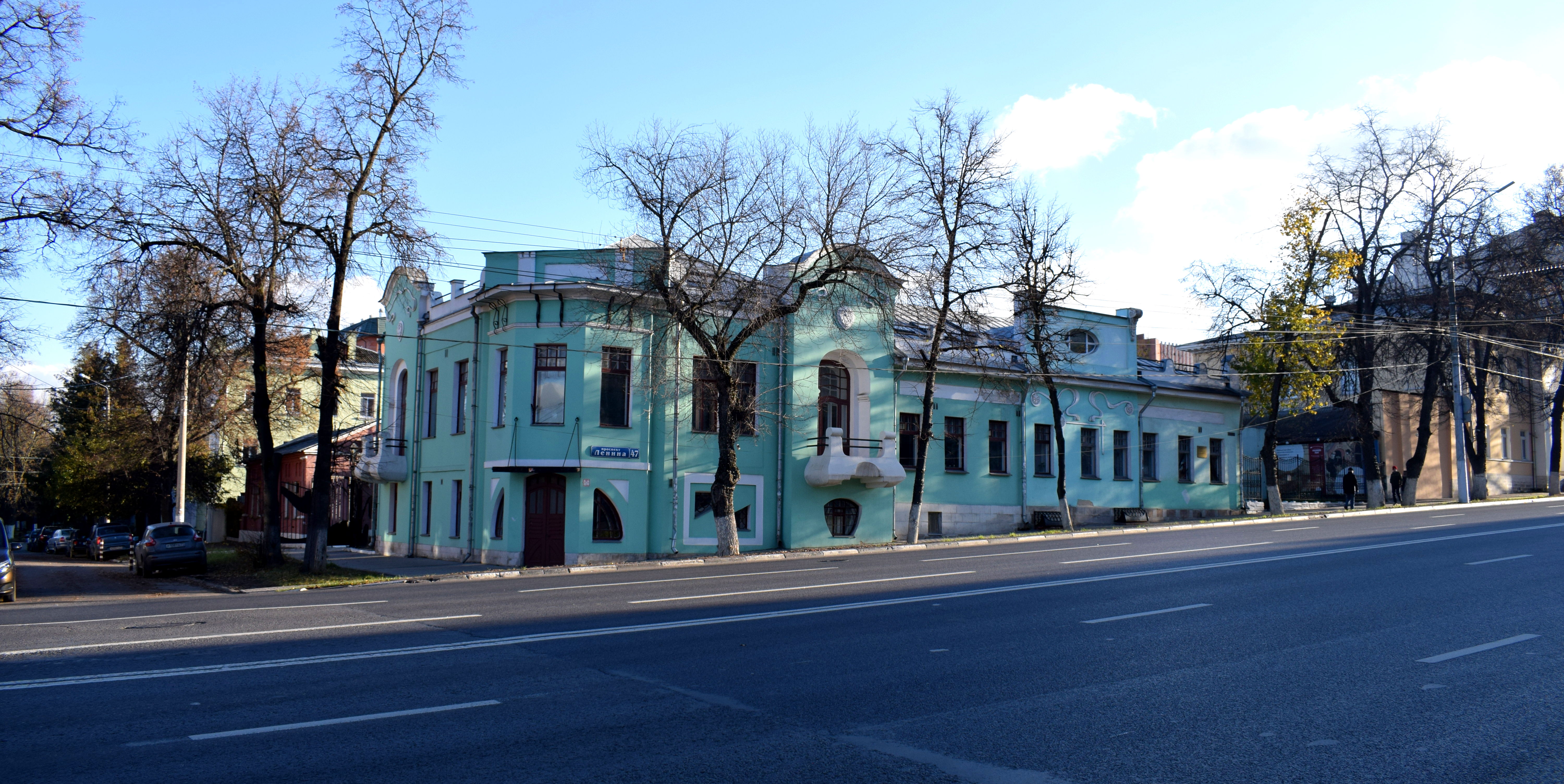
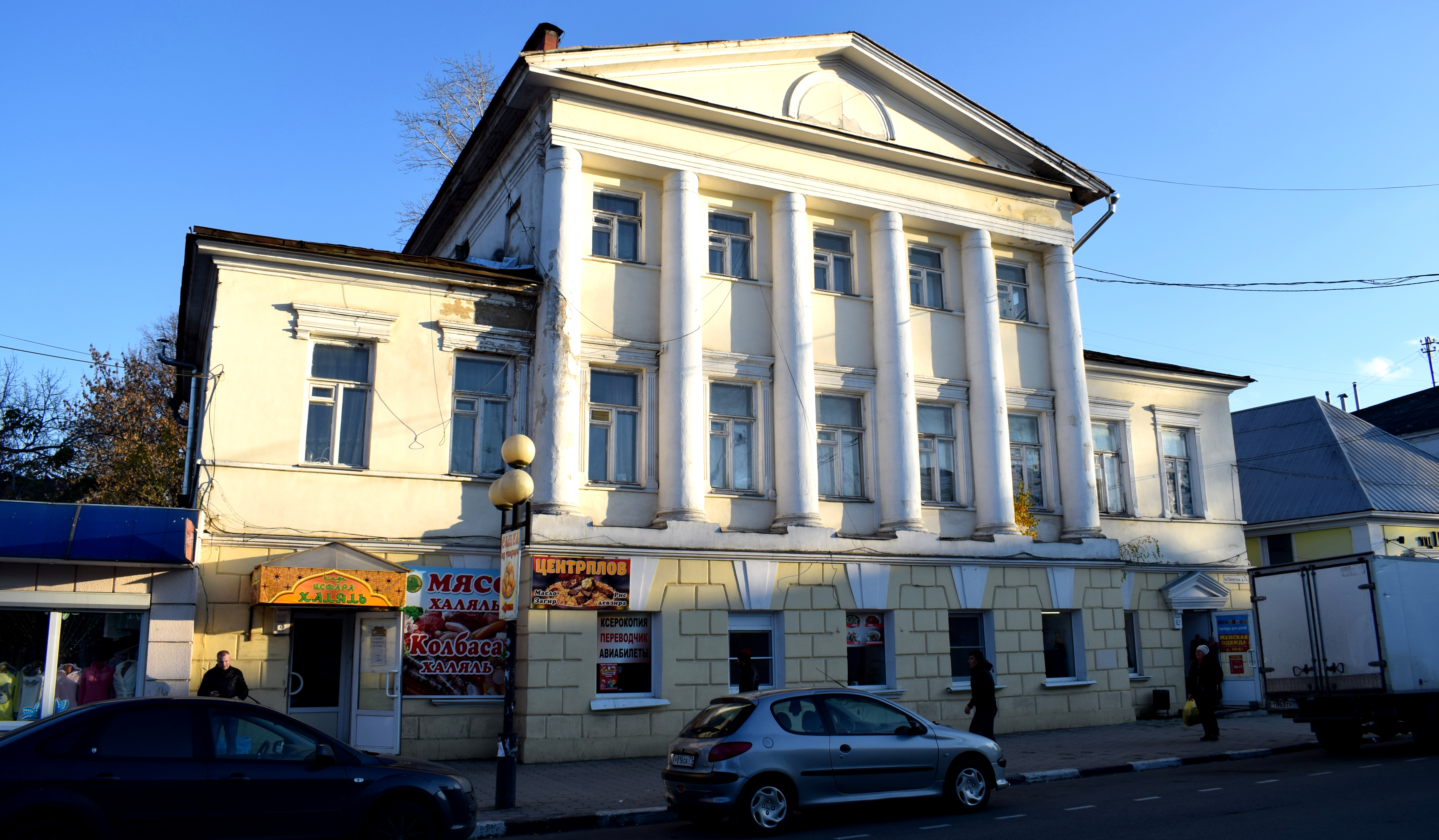
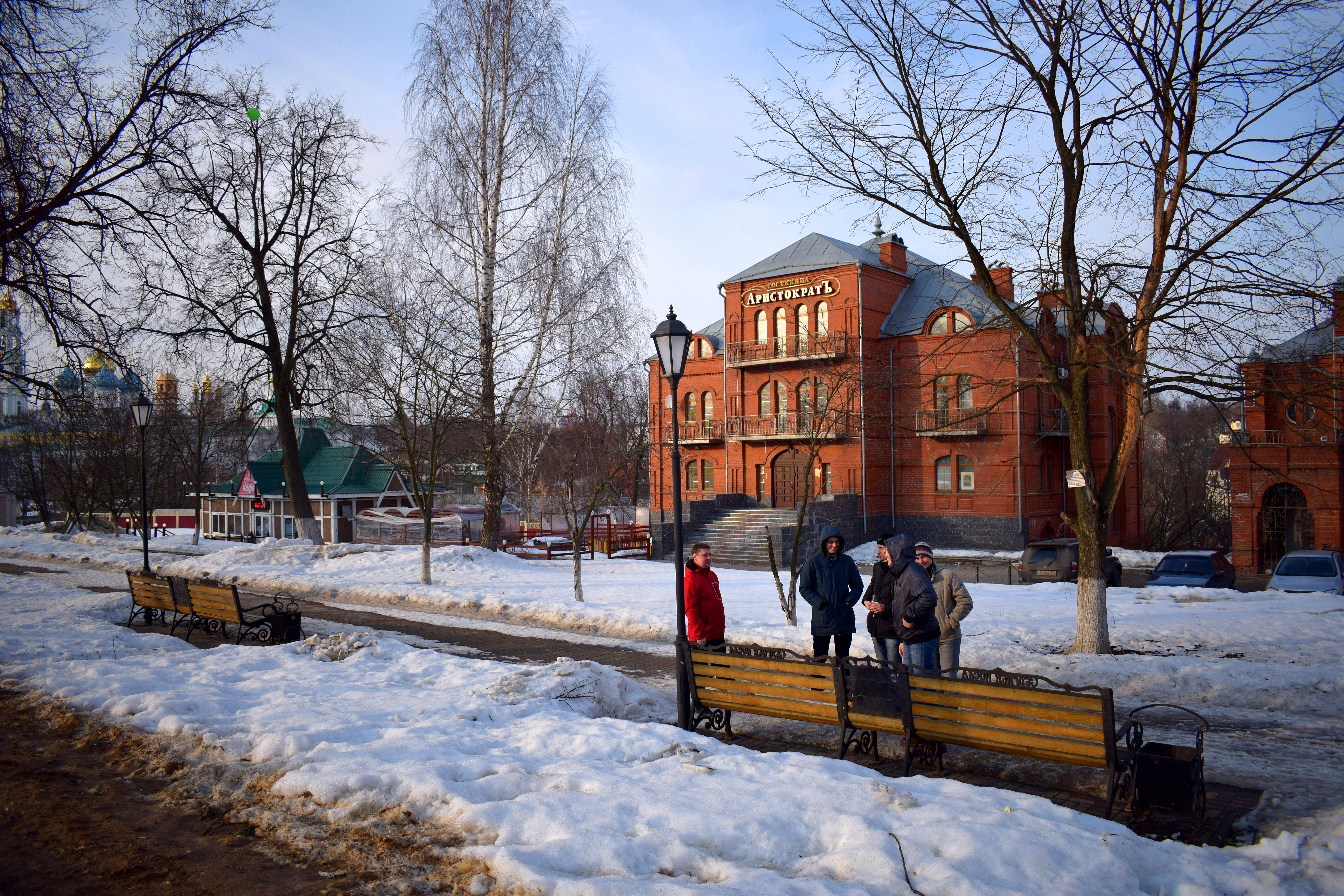
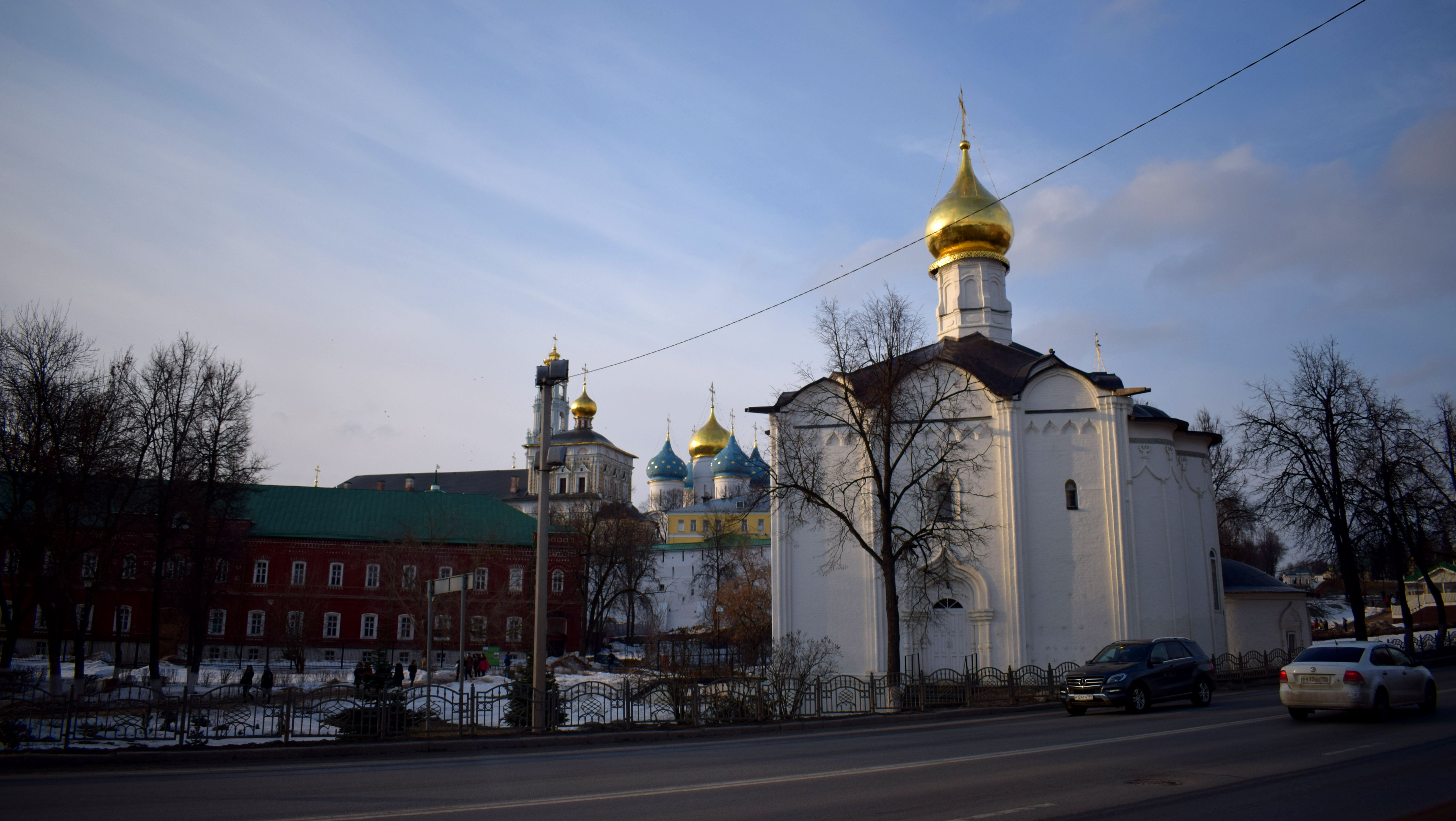
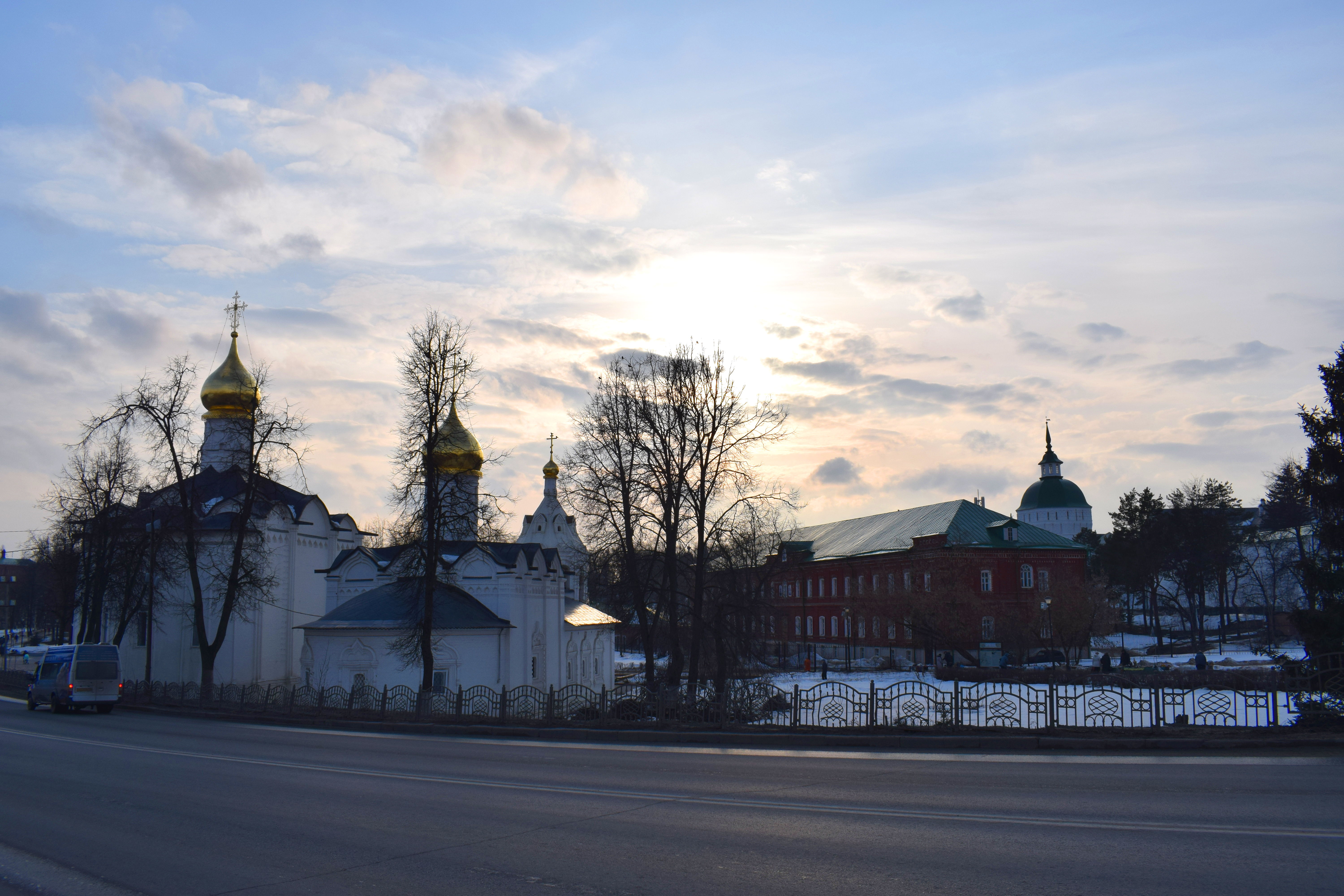
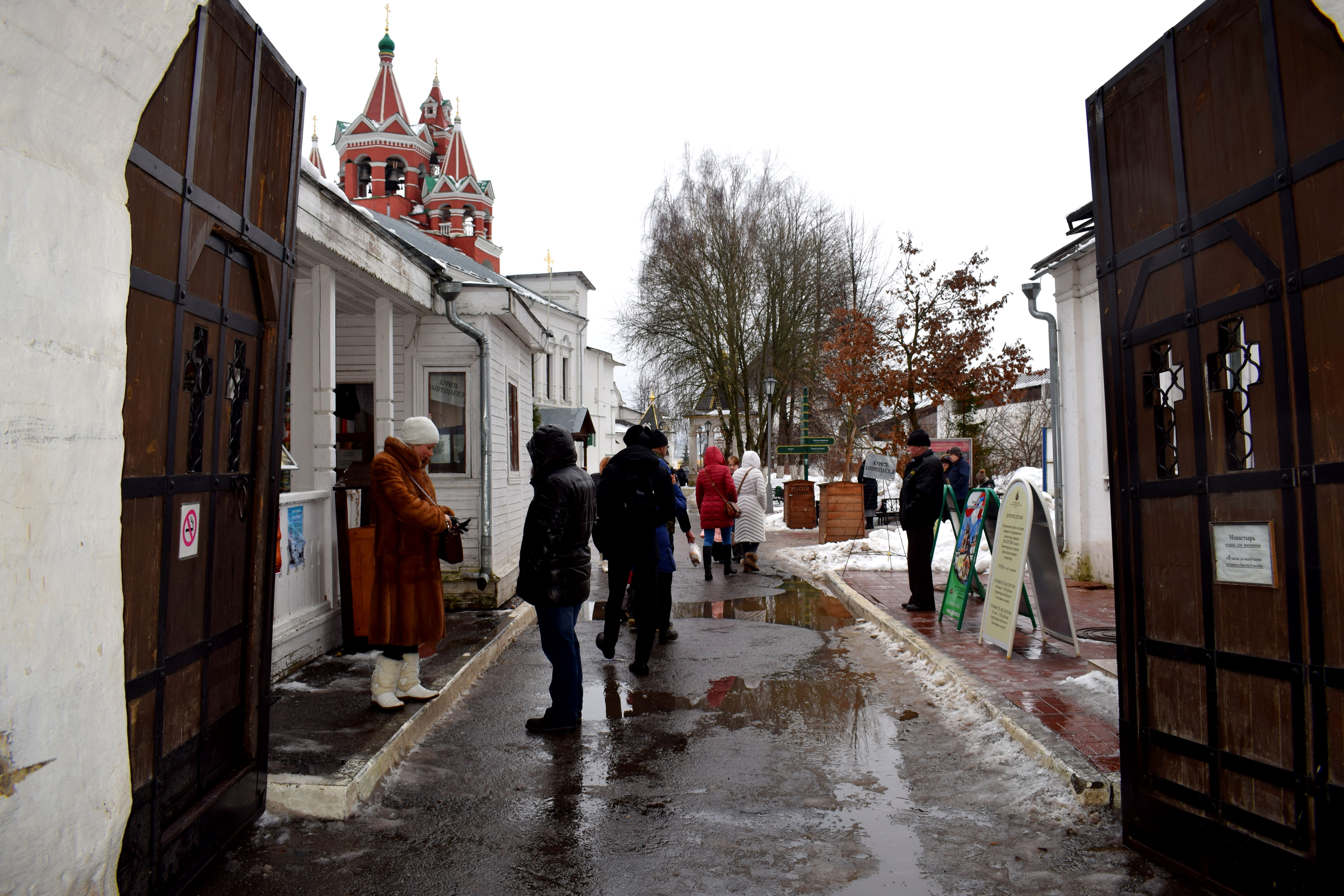
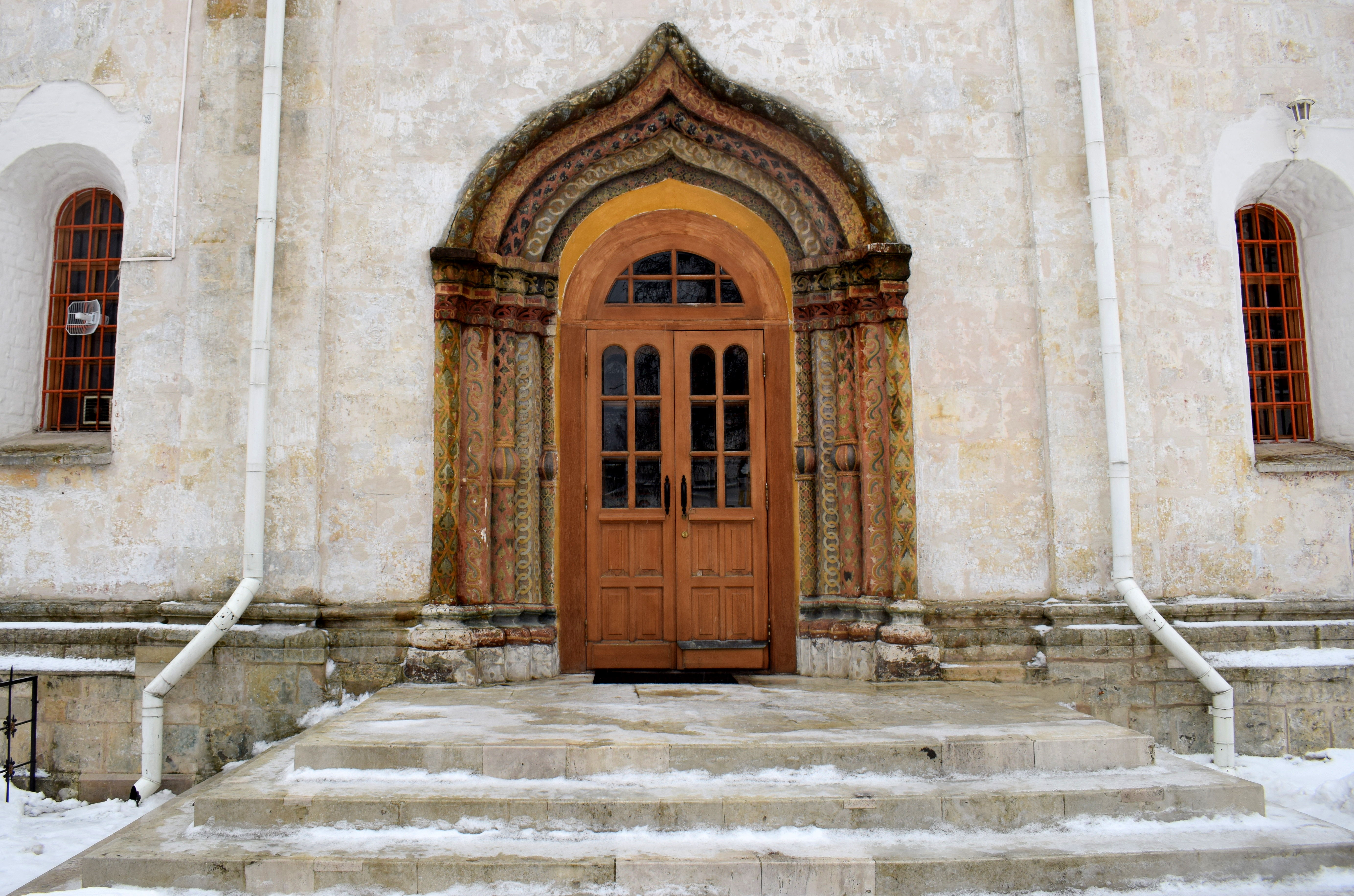
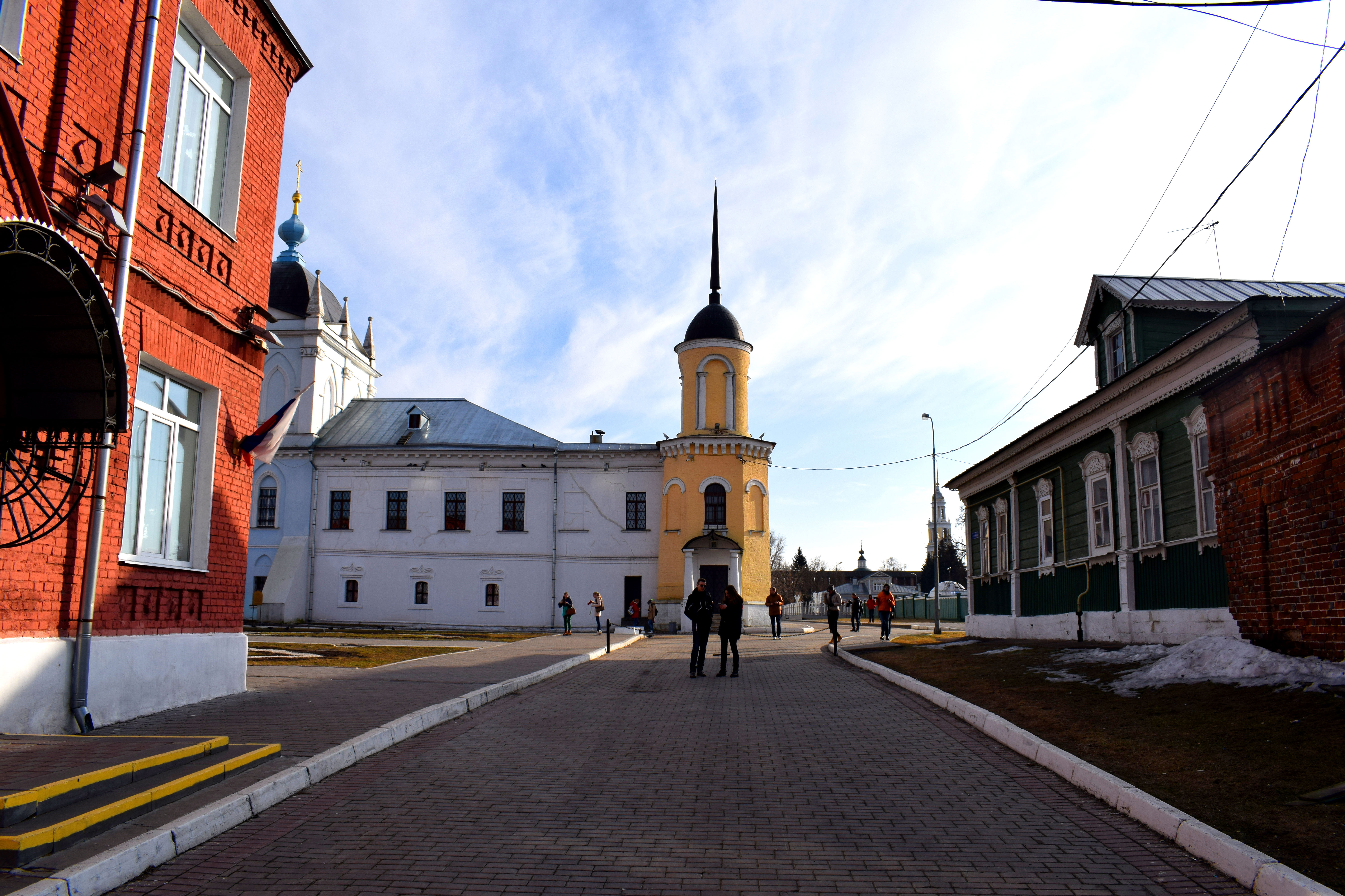
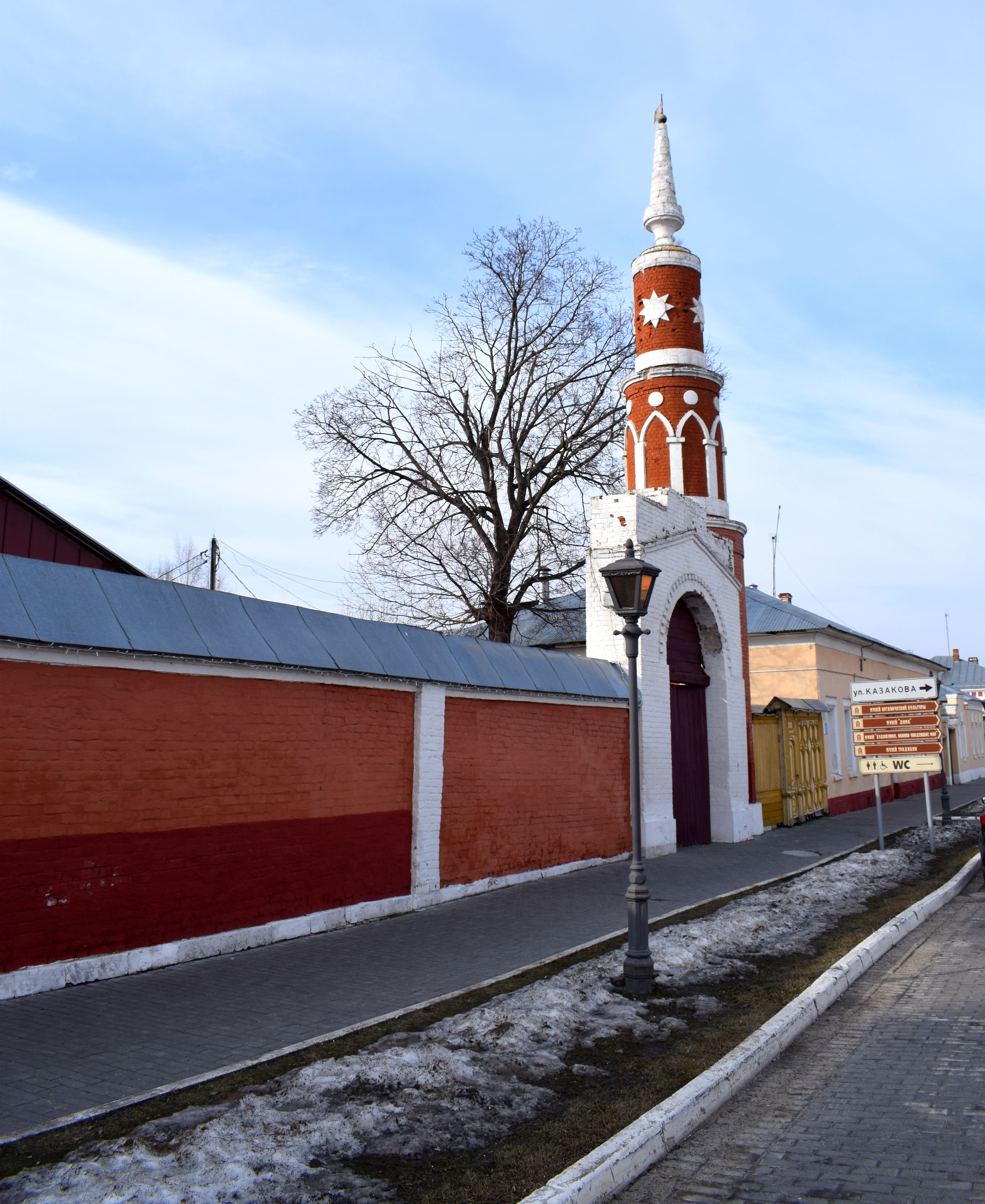
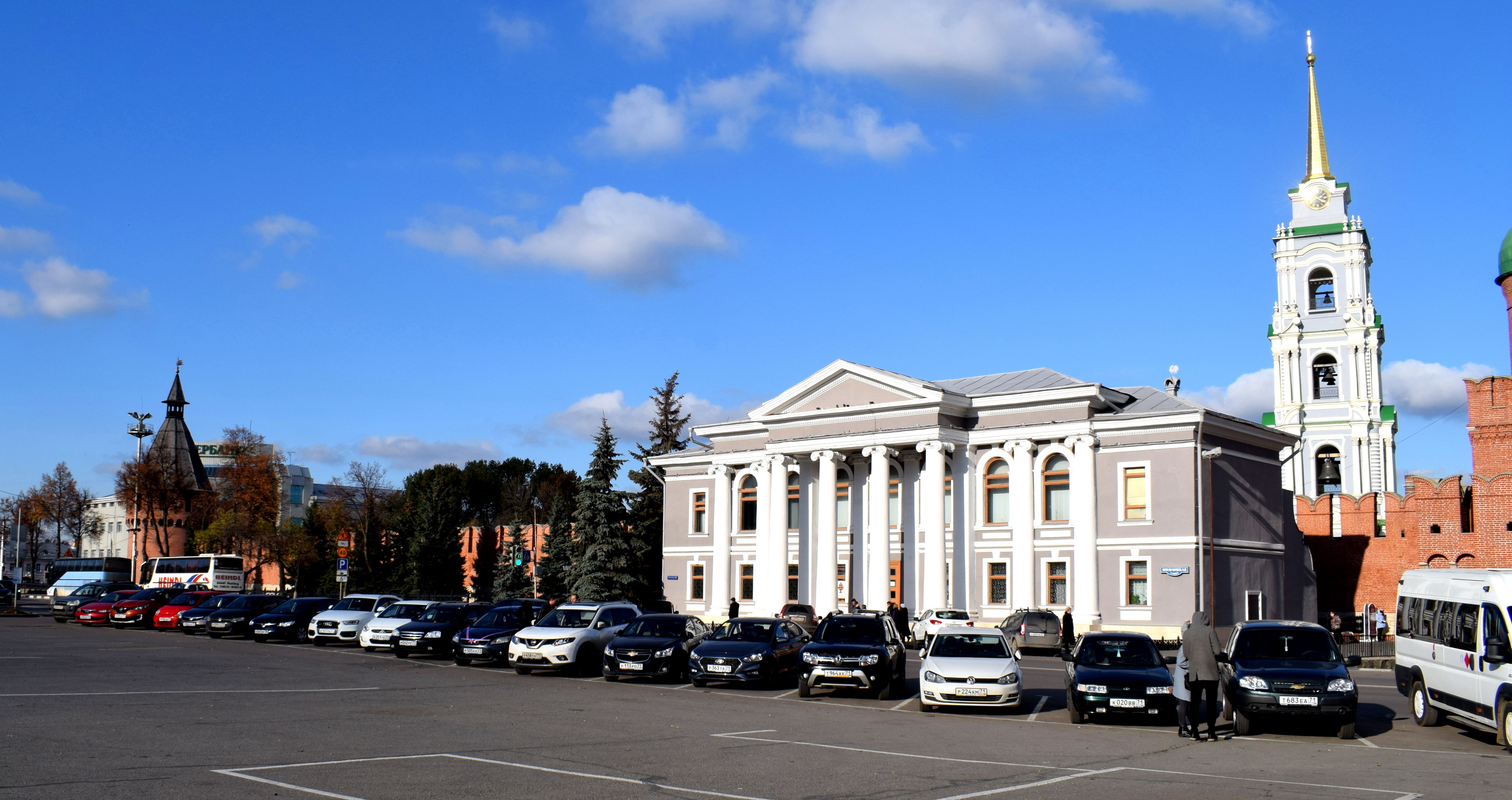 But of course, Tula’s main attraction is its Kremlin. Behind that nice building in purple from the 19th century is the city’s Kremlin, the heart of the city.
 Kremlin means ‘fortress’ in Russian. And you can find Kremlins all over Russia in the country’s historic cities. In fact, the best way to know what cities to visit in Russia is to check whether they have a Kremlin. If there is a Kremlin, that means the city has existed for centuries and is worth visiting.
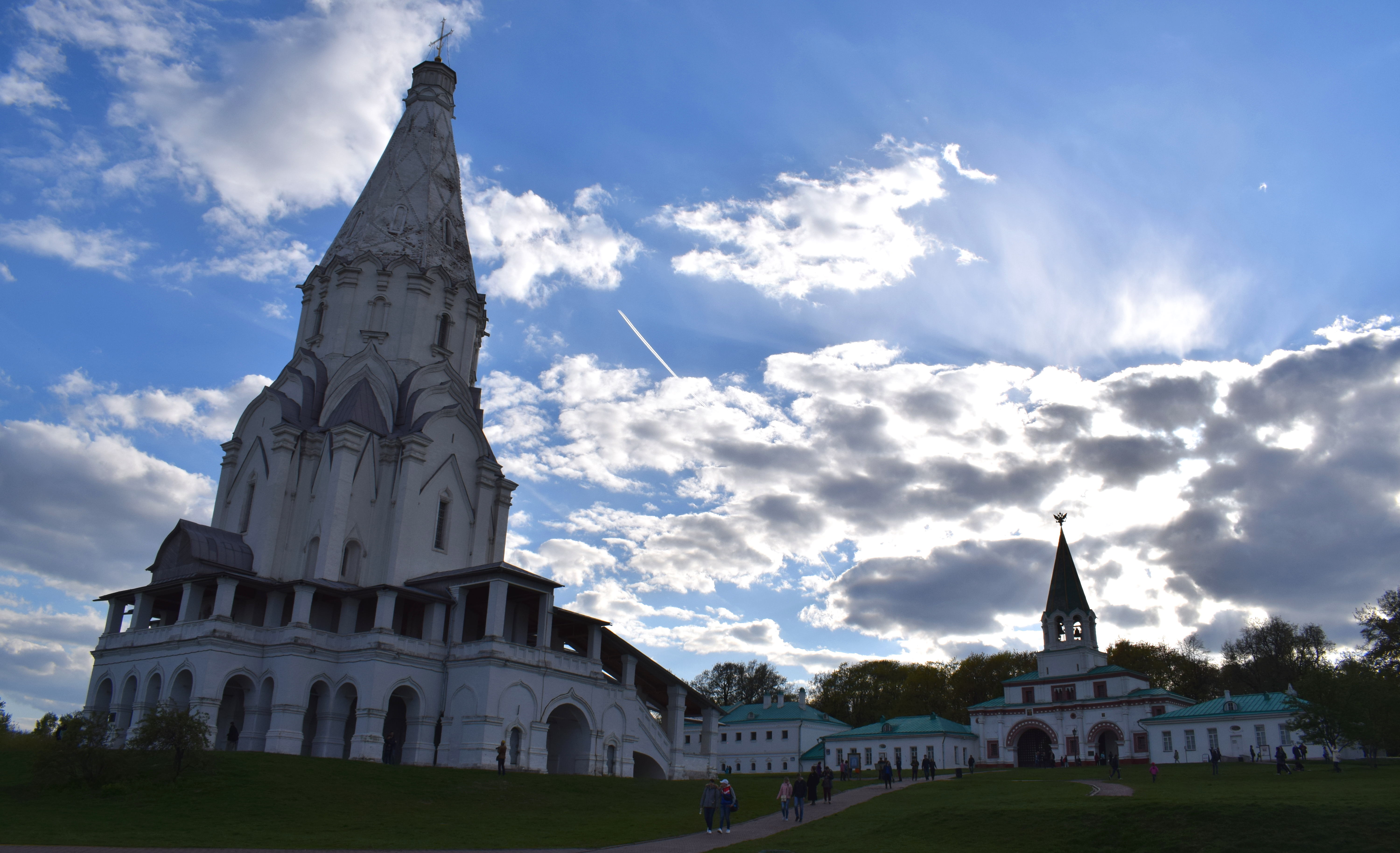
 Tula’s Kremlin was built in 1514-1520 by the order of Vasili III of Russia. Vasili III was the Grand Prince of Moscow from 1505-1533. In 1507 he gave the order to construct the Kremlin on the Upa River to protect the city from ongoing raids from the east.
It’s interesting to compare Kremlins in Russia and when they were built. As far as Tula is concerned, it’s Kremlin isn’t the oldest, but neither is it the youngest.
- Veliky Novgorod – 1490
- Moscow – 1495
- Nizhny Novgorod – 1515
- Tula – 1520
- Zaraisk – 1531
- Kolomna – 1531
- Astrakhan – 1581
- Smolensk – 1602
- Rostov – 1680
There’s actually a lot more kremlins in Russia, depending on how you define a Kremlin. Technically many monetarists could be considered Kremlins, but are classified as religious objects, such as Sergiev Posad or Zvenigorod. Some have only been partly preserved, such as Kolomna. In any case, Tula gets the honor of being one of a handful of Russian cities with a Kremlin that’s been fully preserved.
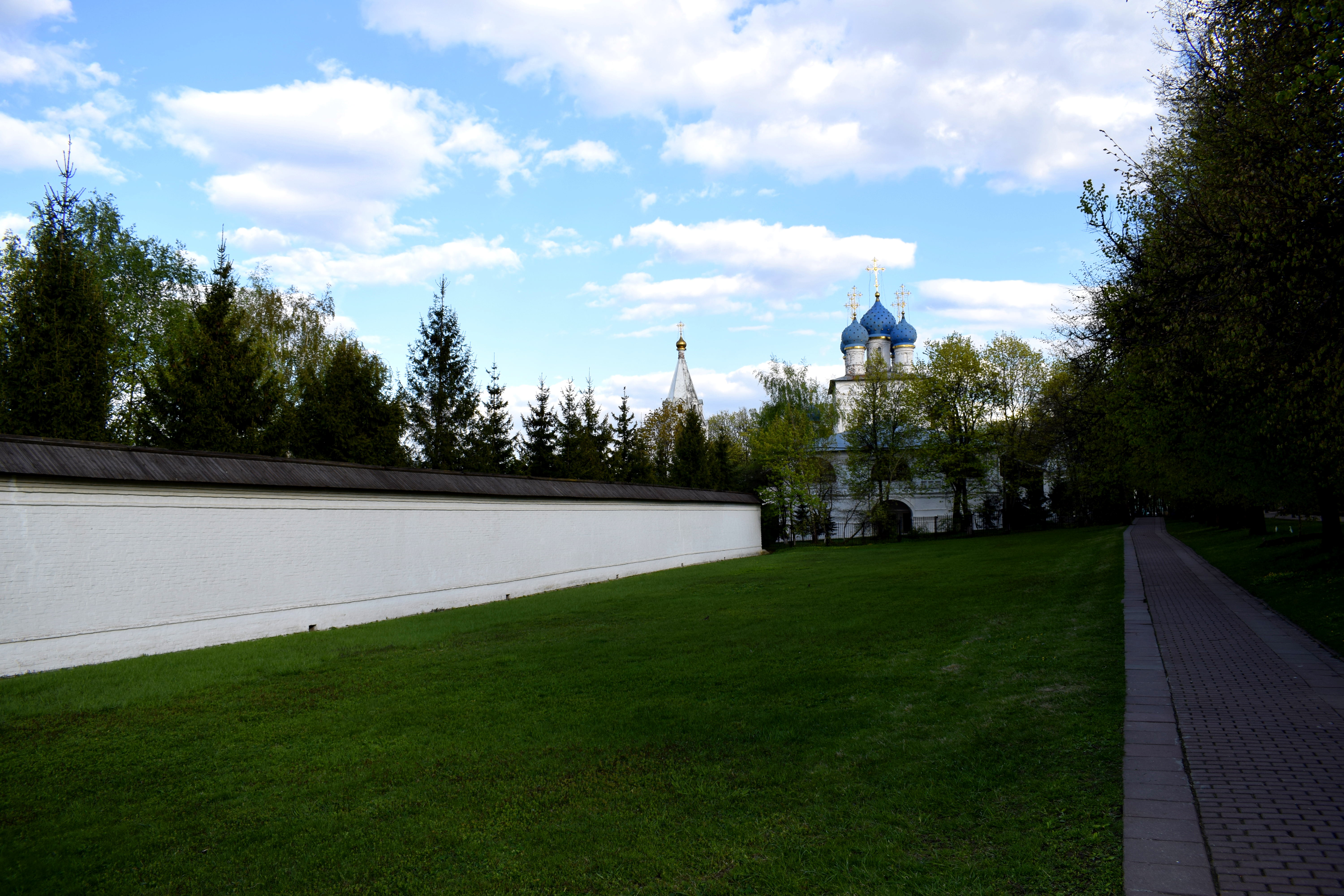
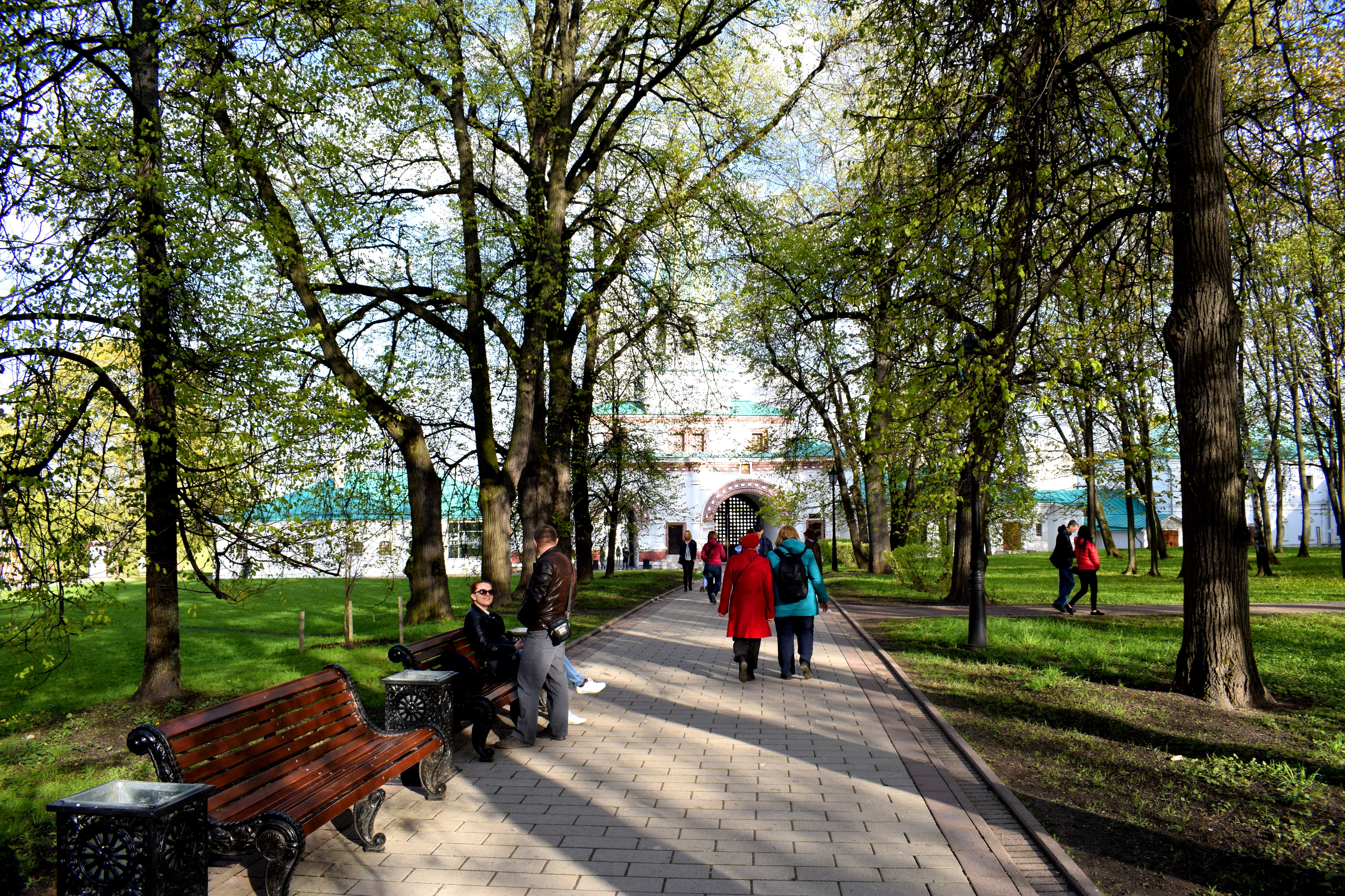
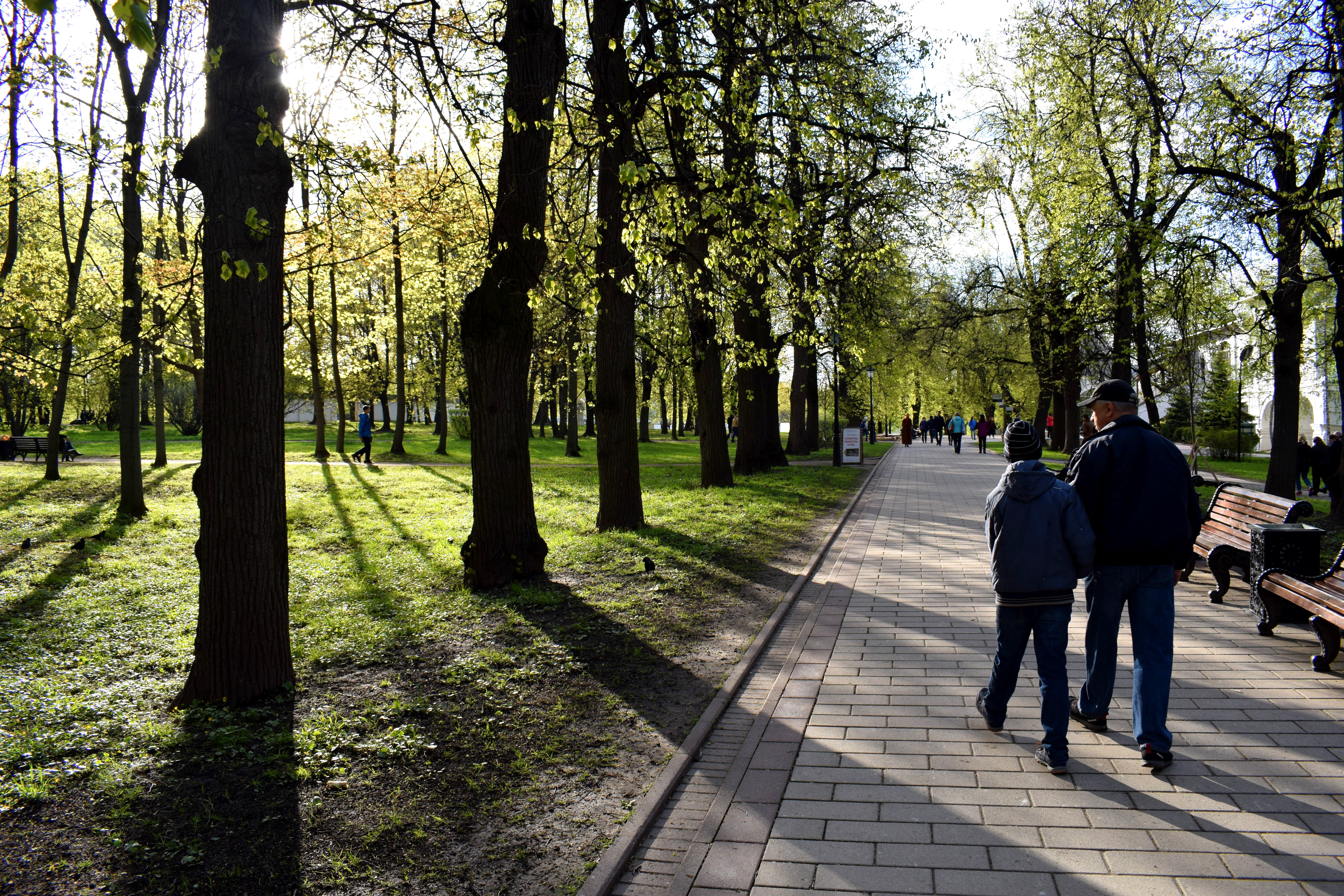
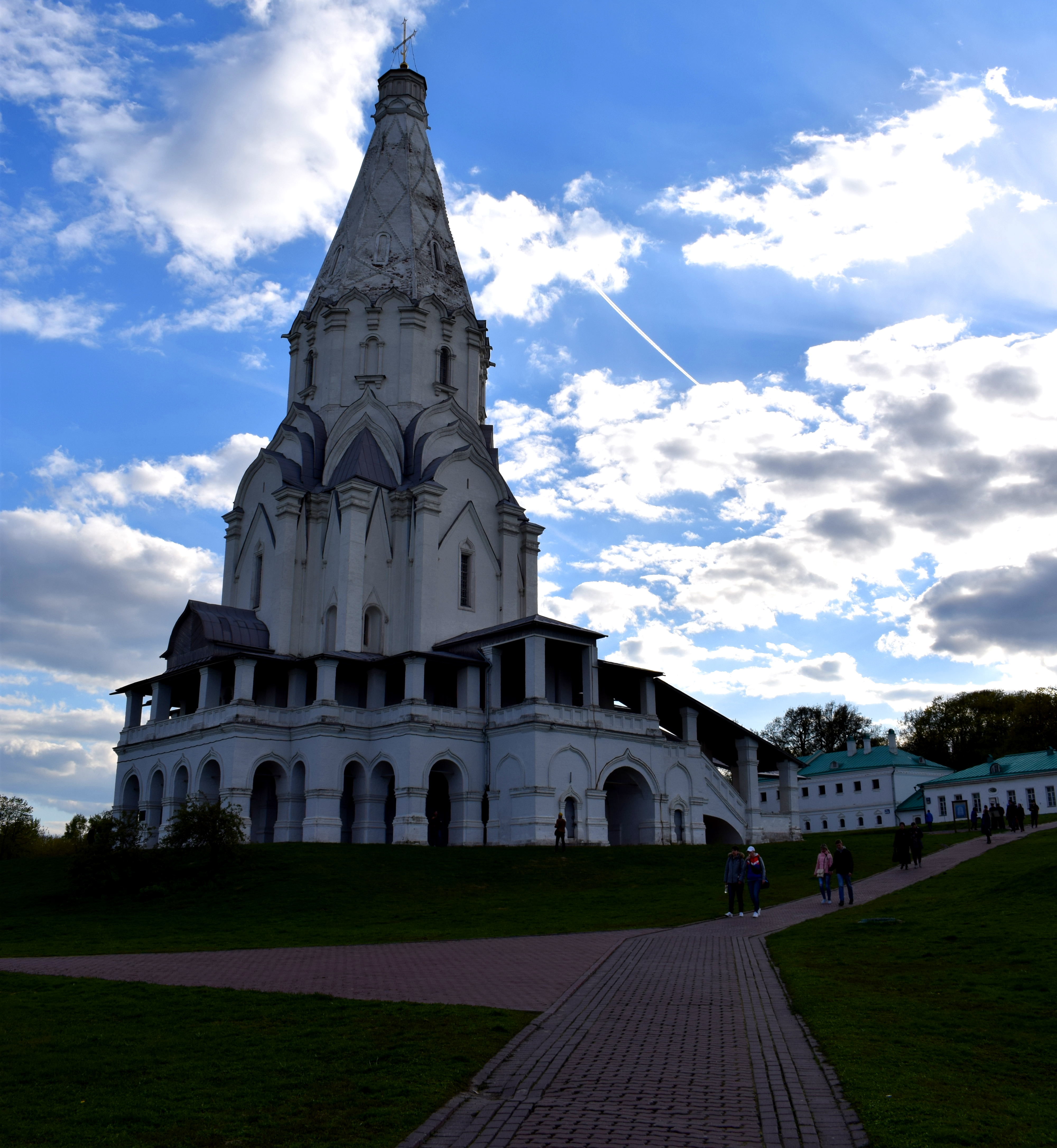
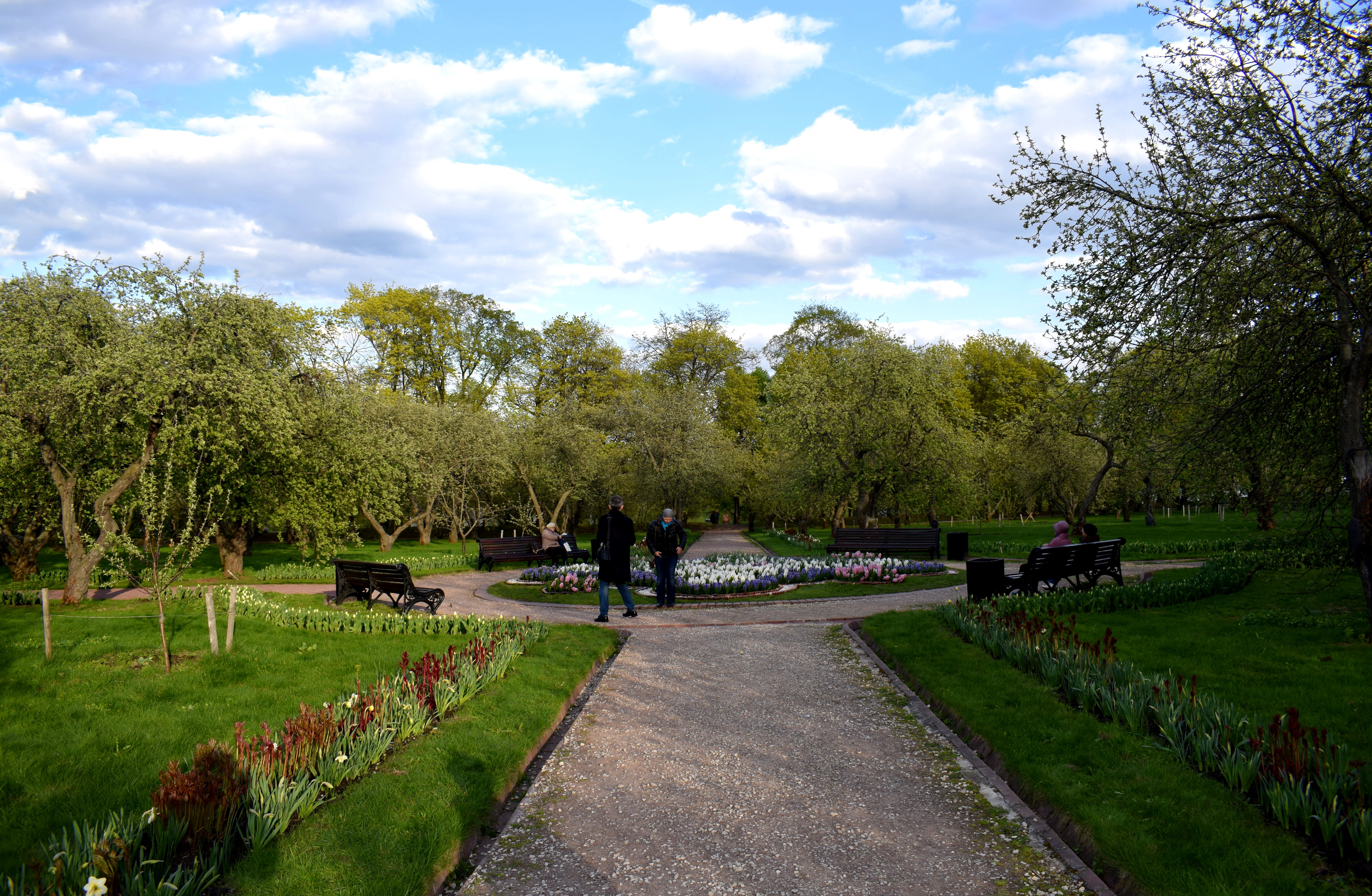
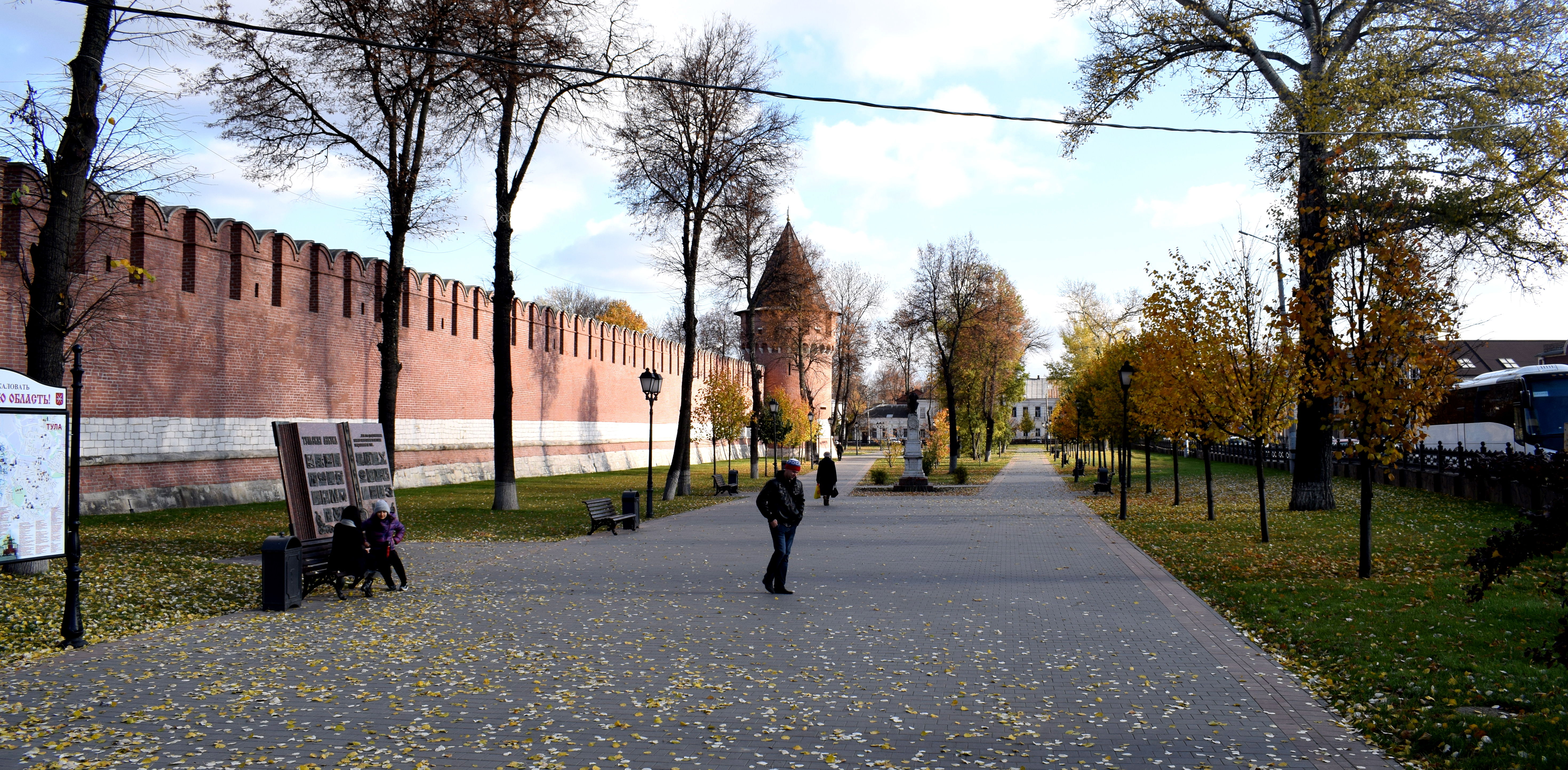
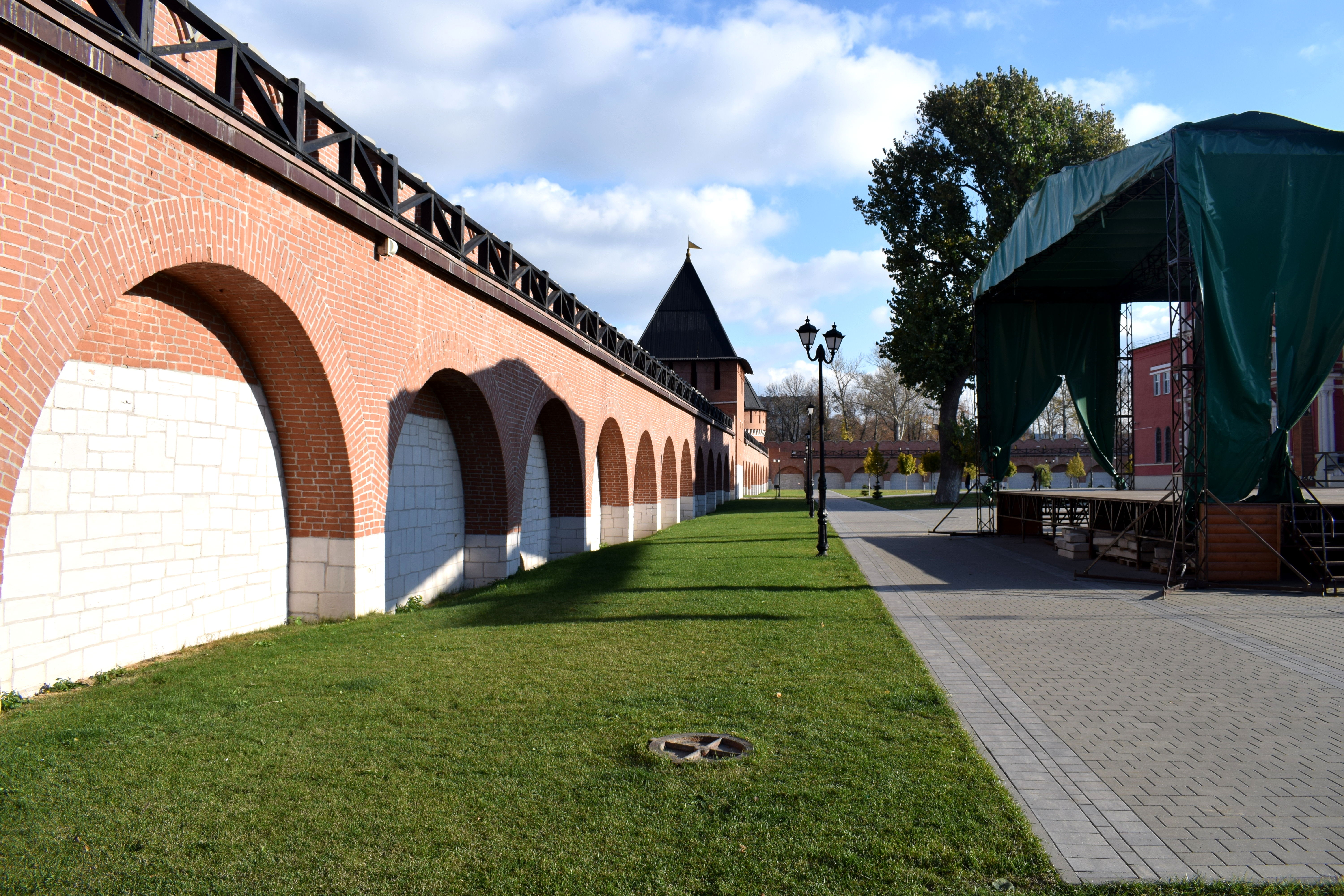
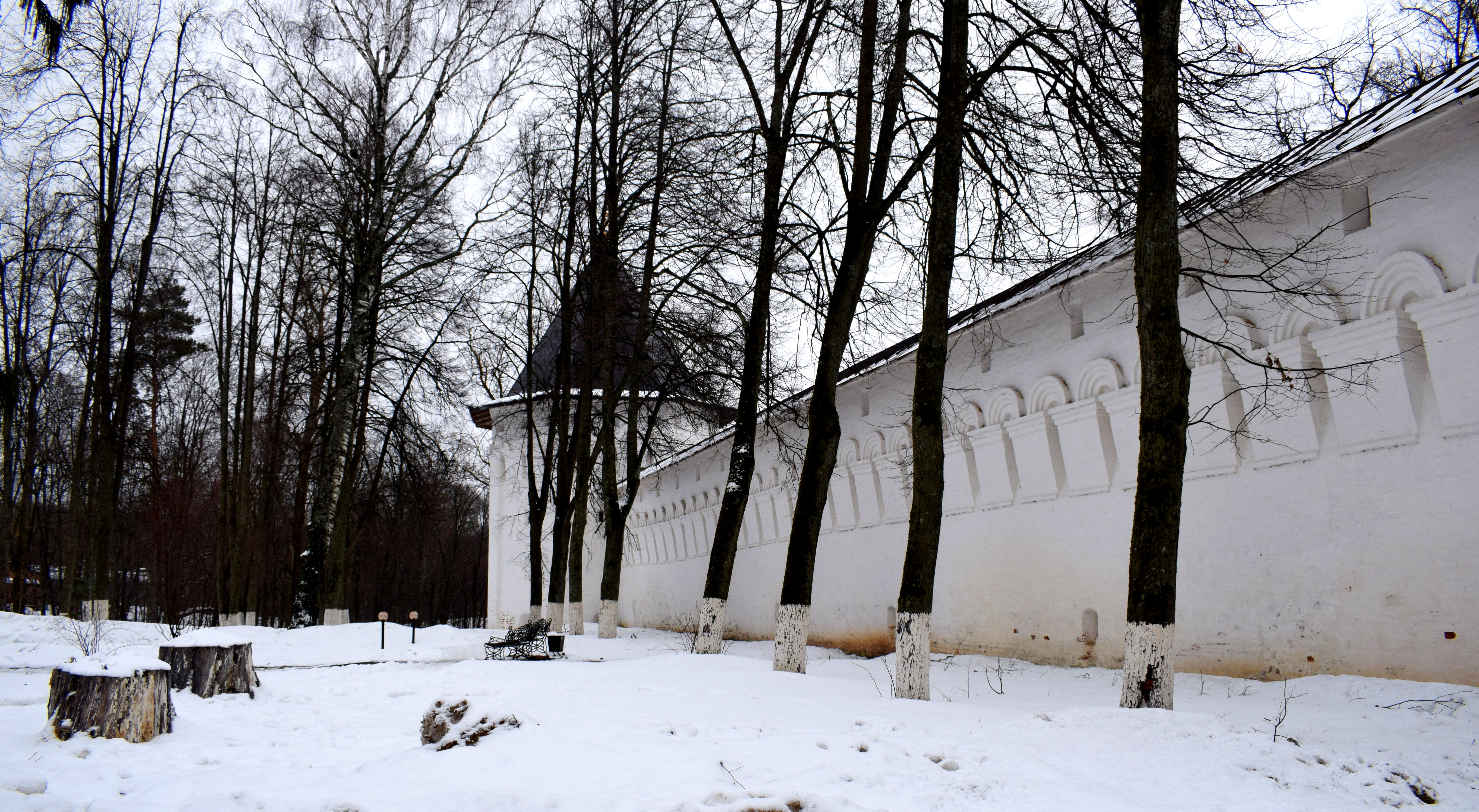
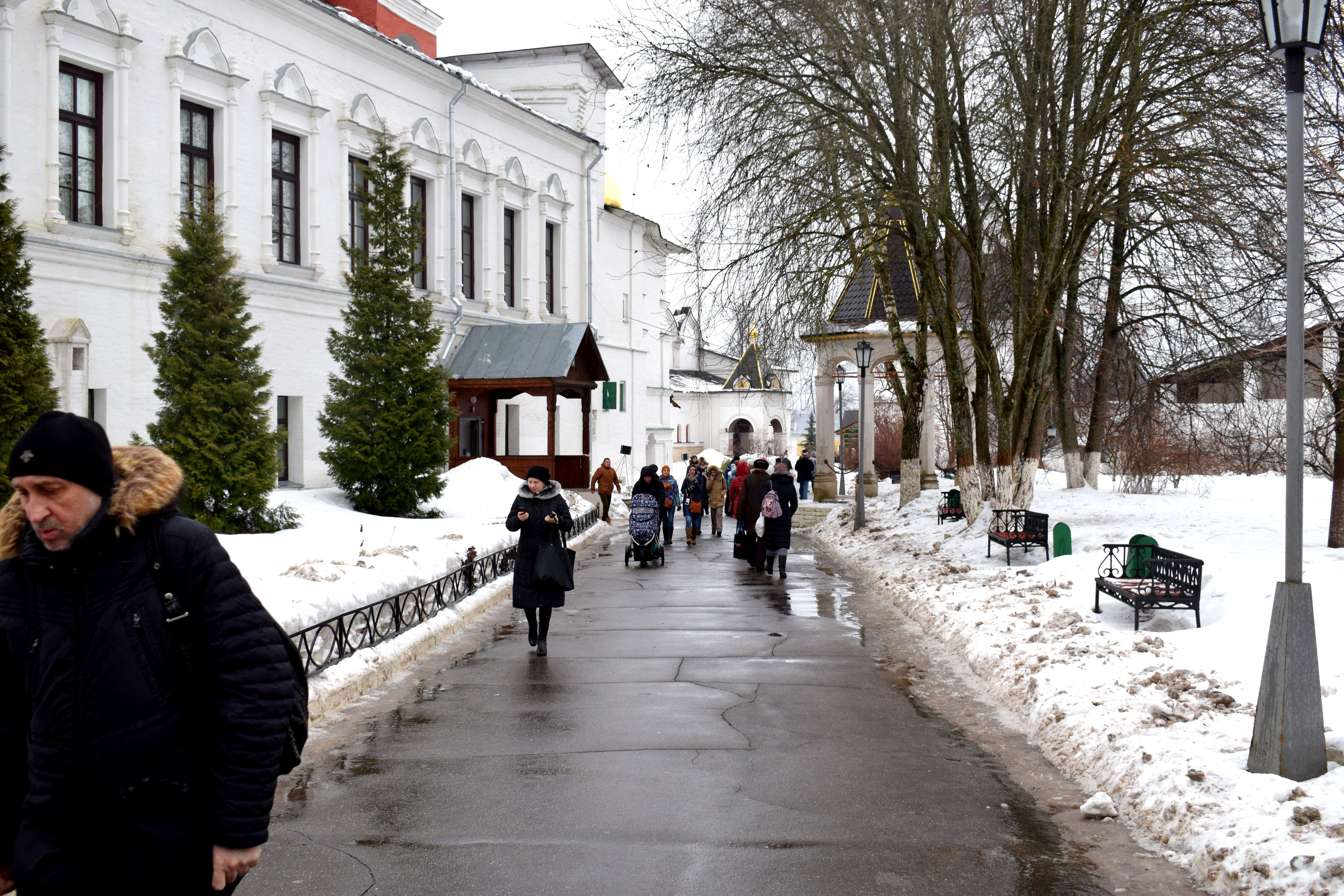
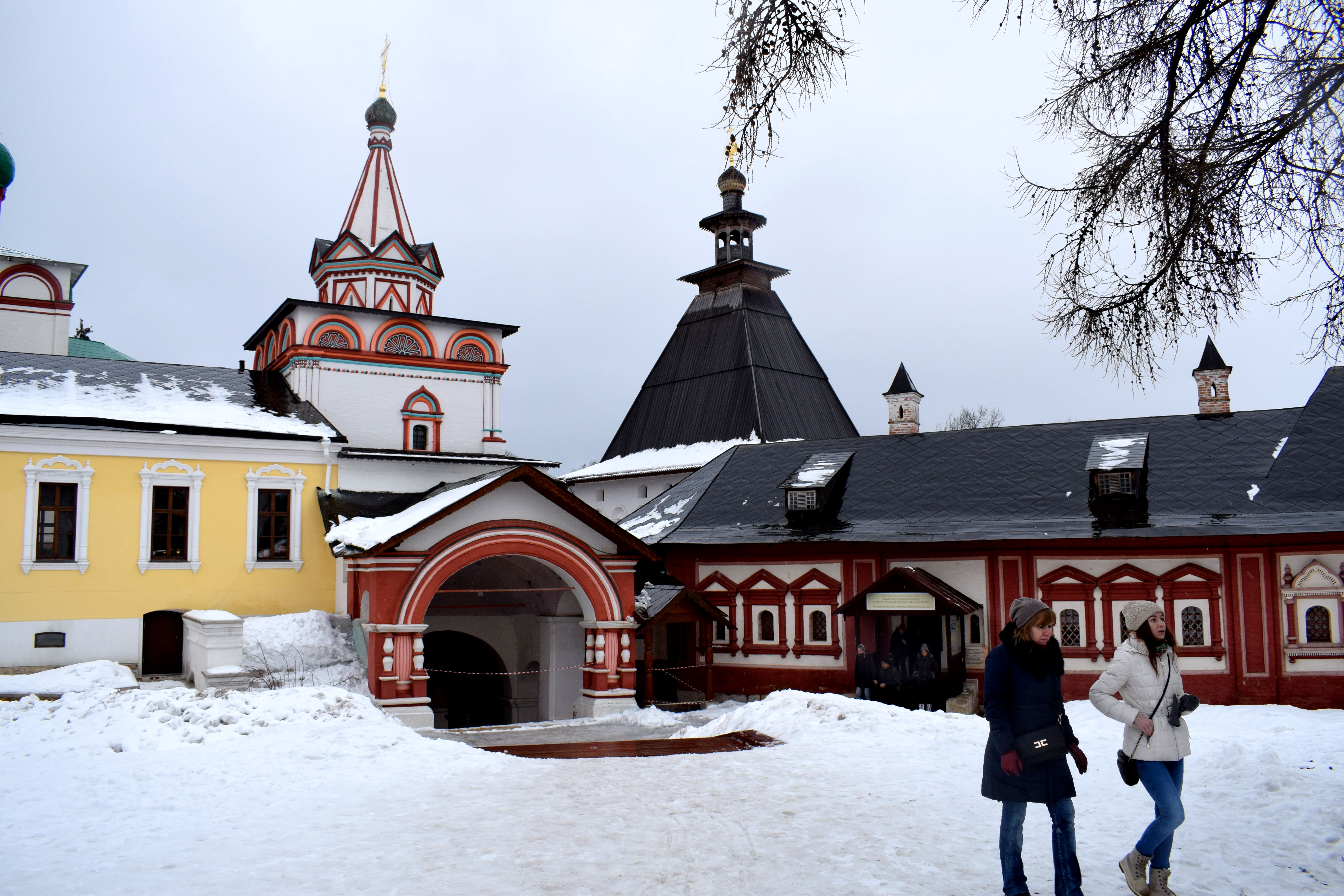
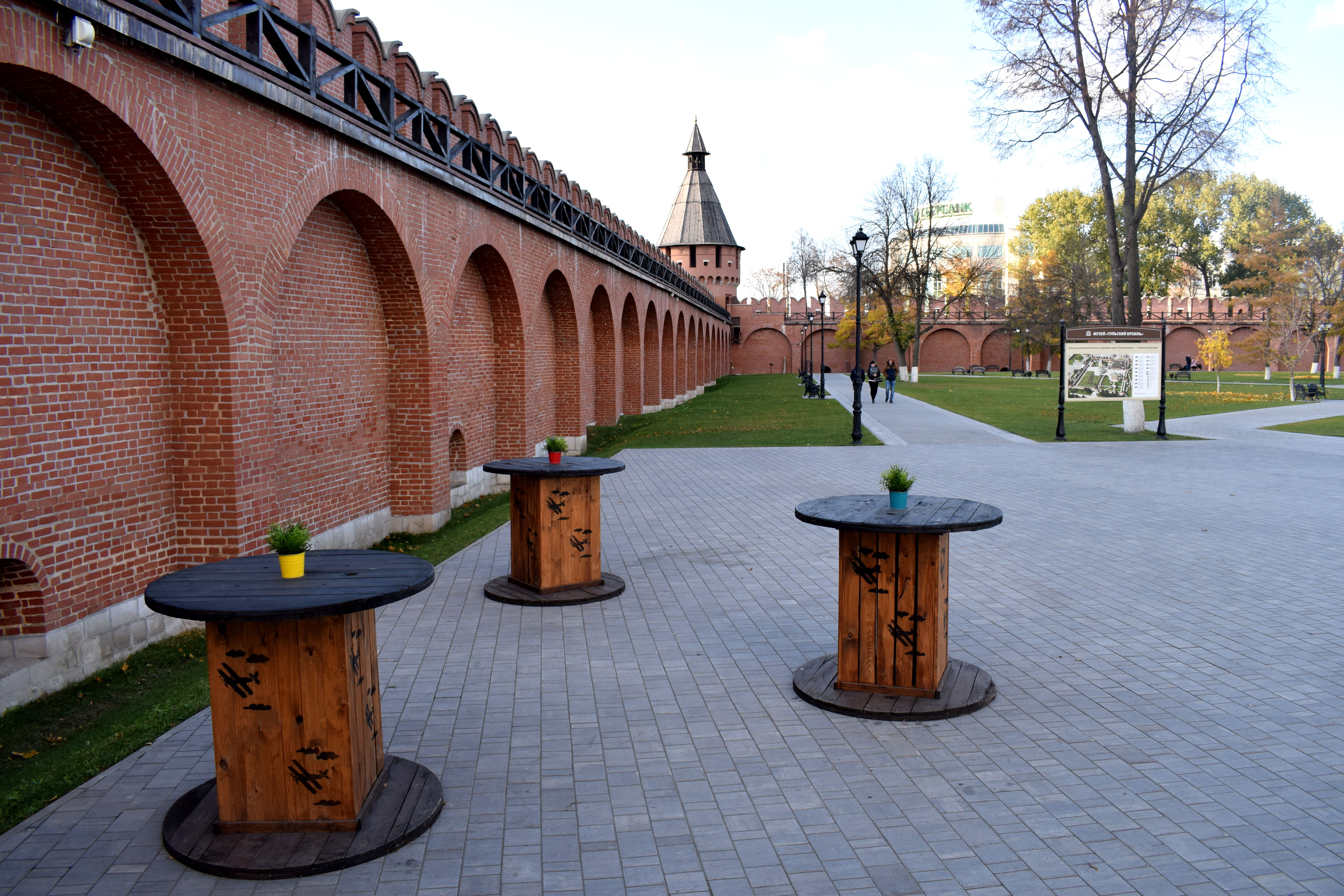 I was surprised at how clean it was inside of Tula’s Kremlin. It was a beautiful place to walk around and relax in. We went in the fall when it was cold outside so there were few people around, but in the summer the inside of the Kremlin fills up with people and even holds concerts inside.
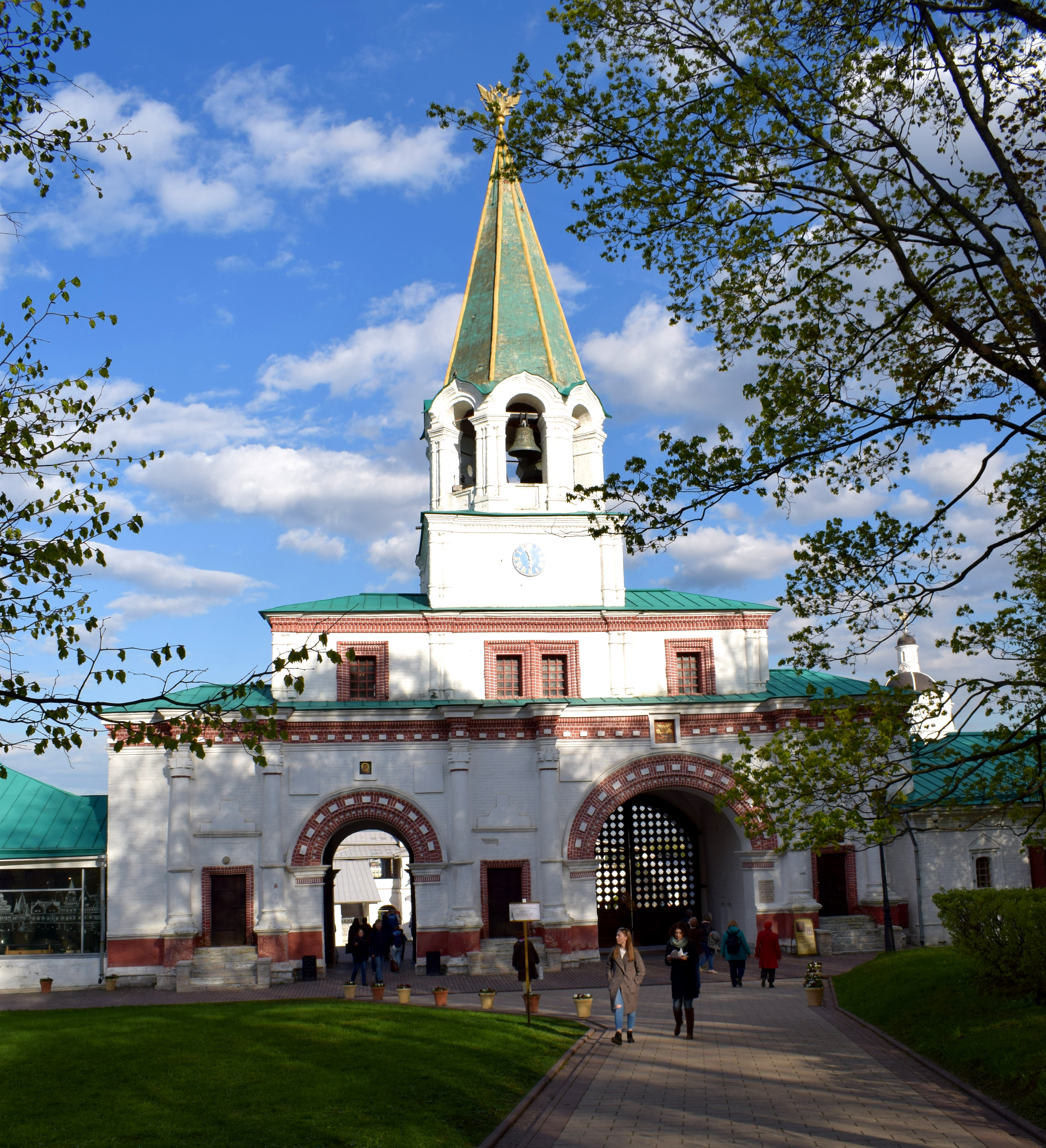
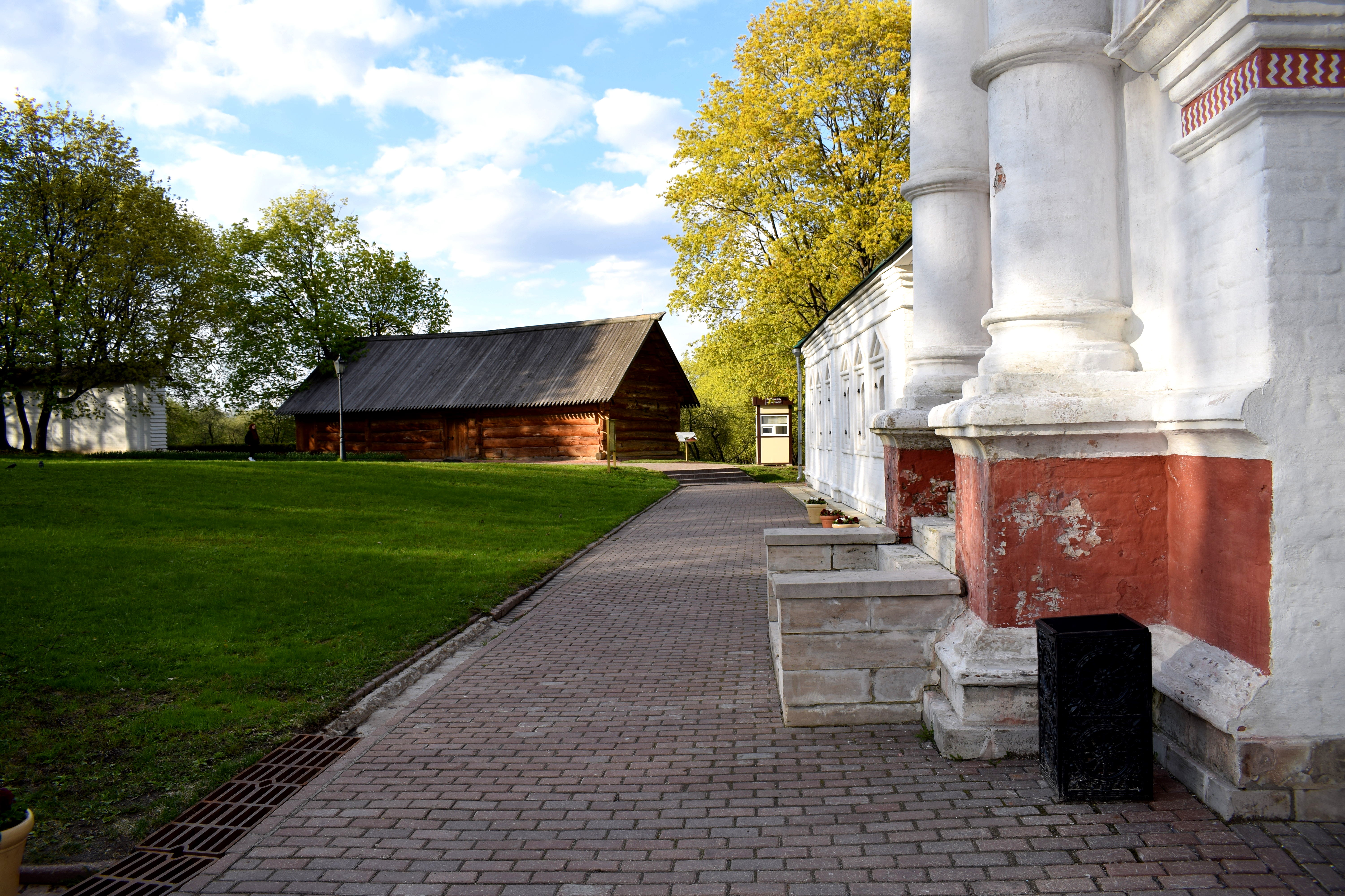
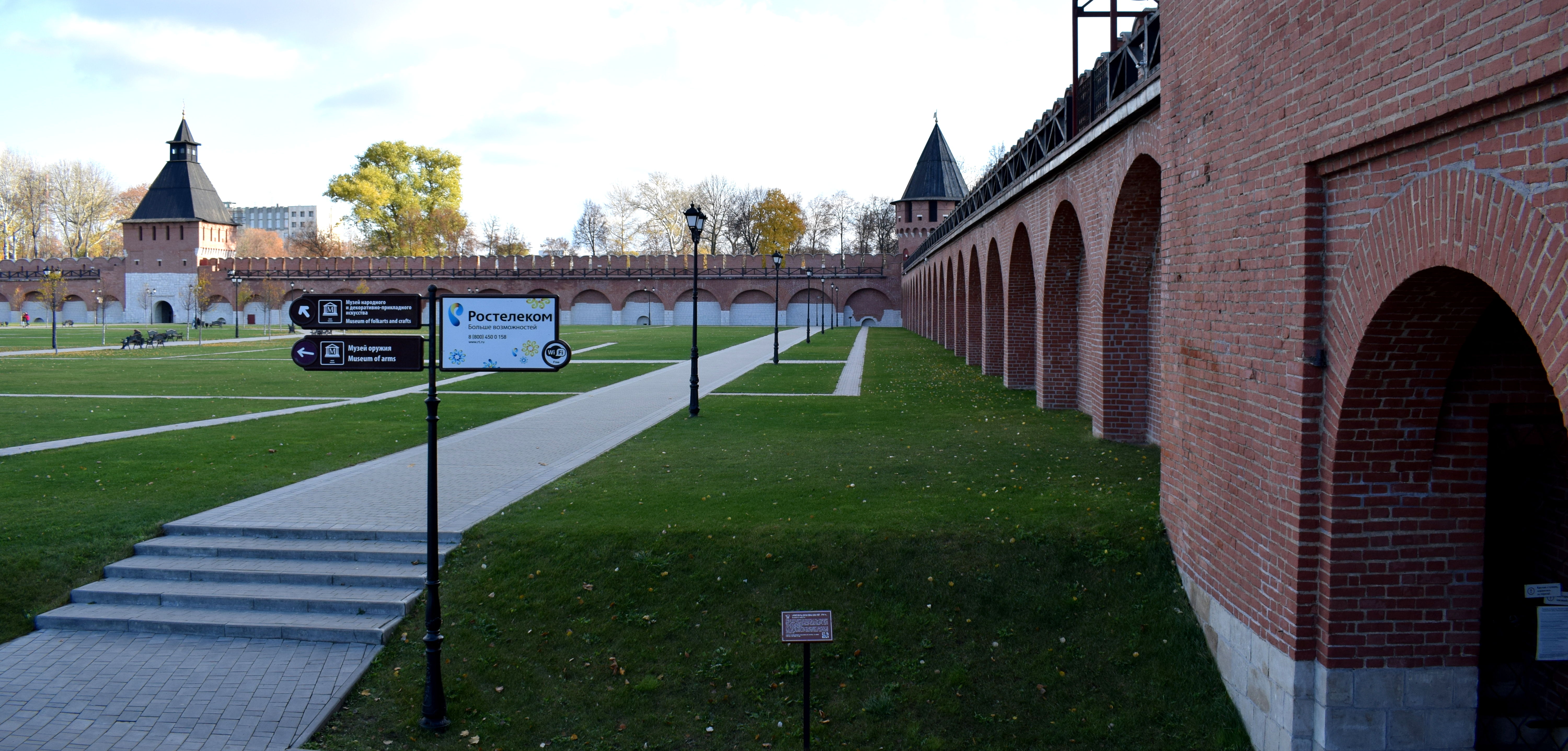
 Within the Kremlin there are a few historic buildings.
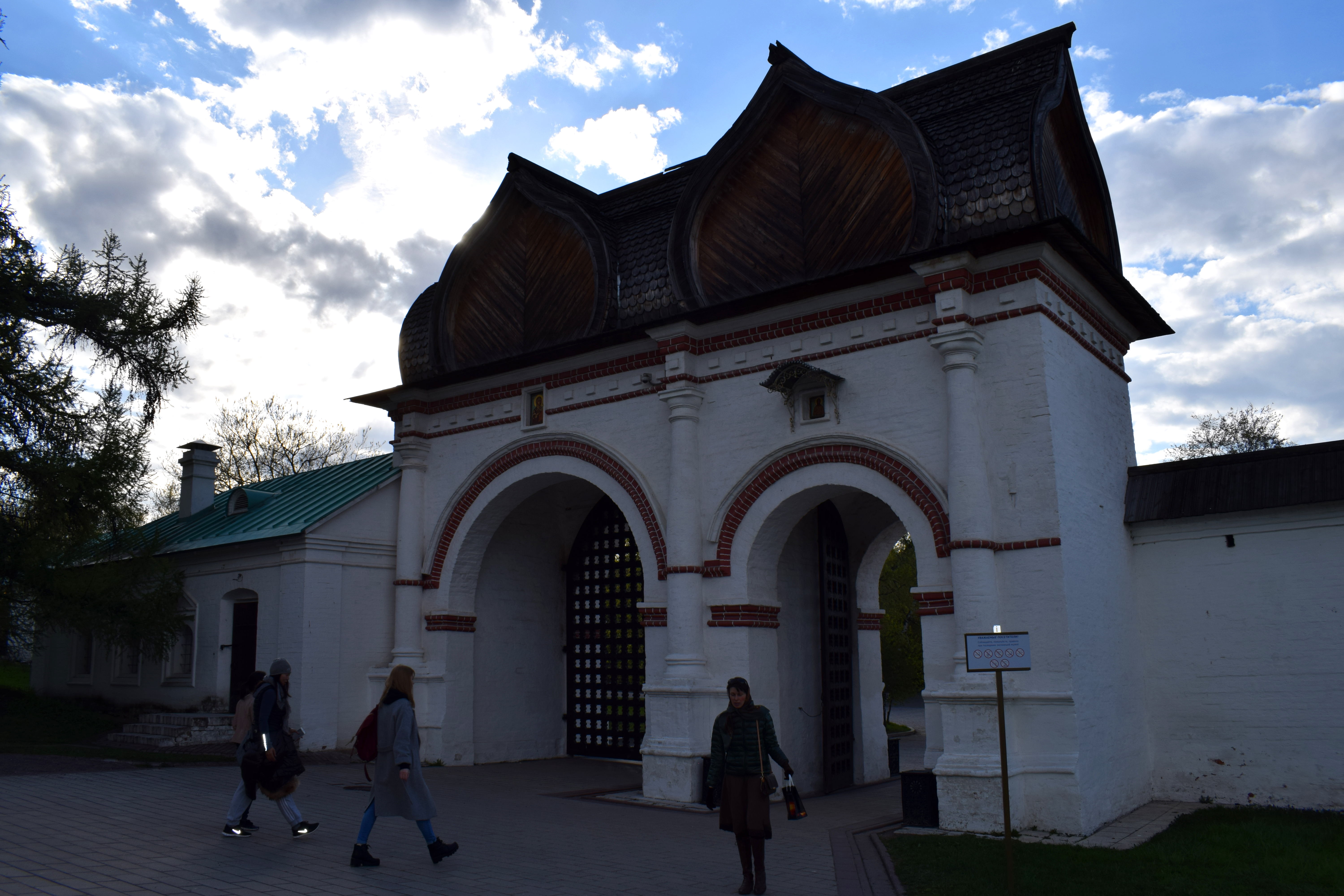
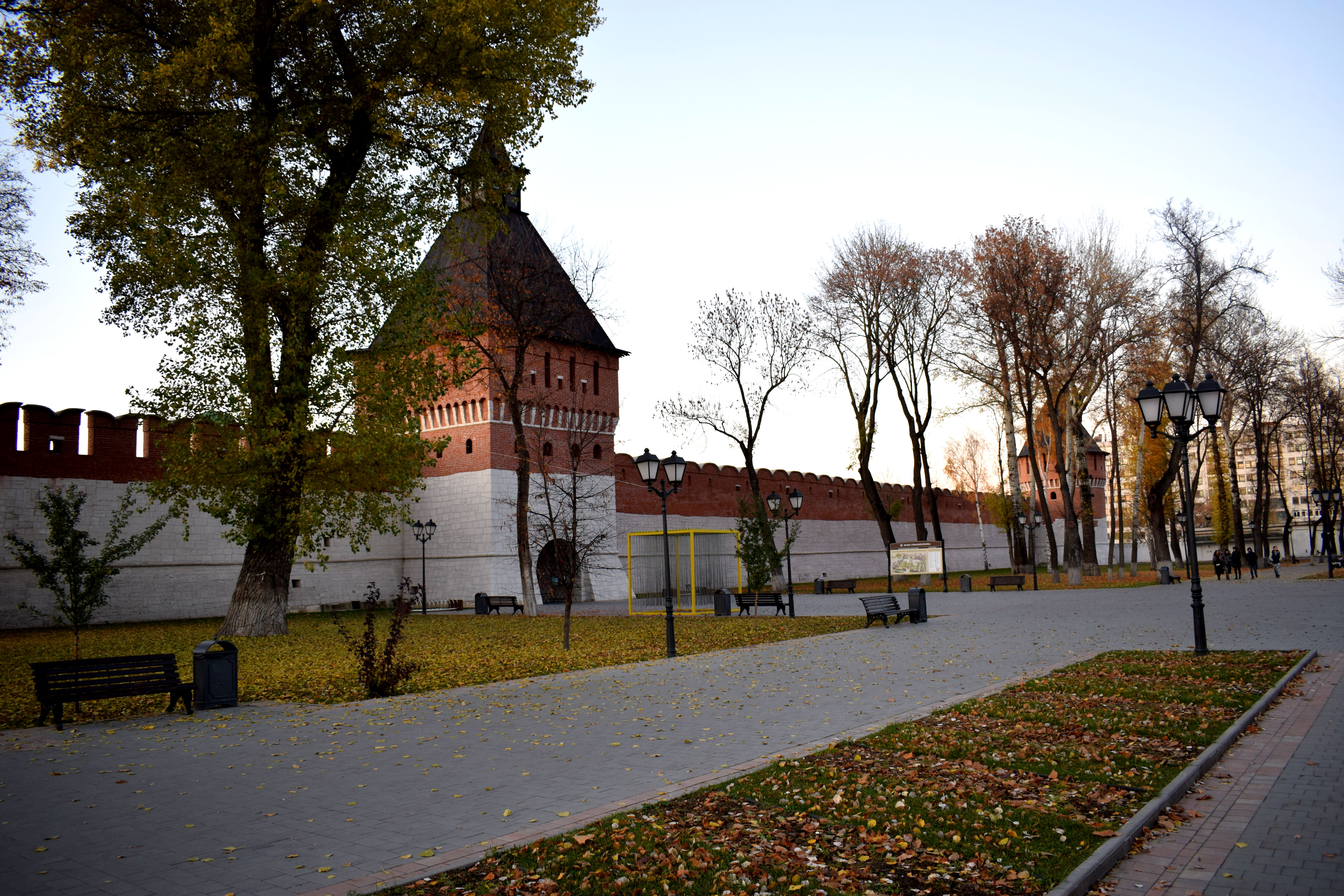
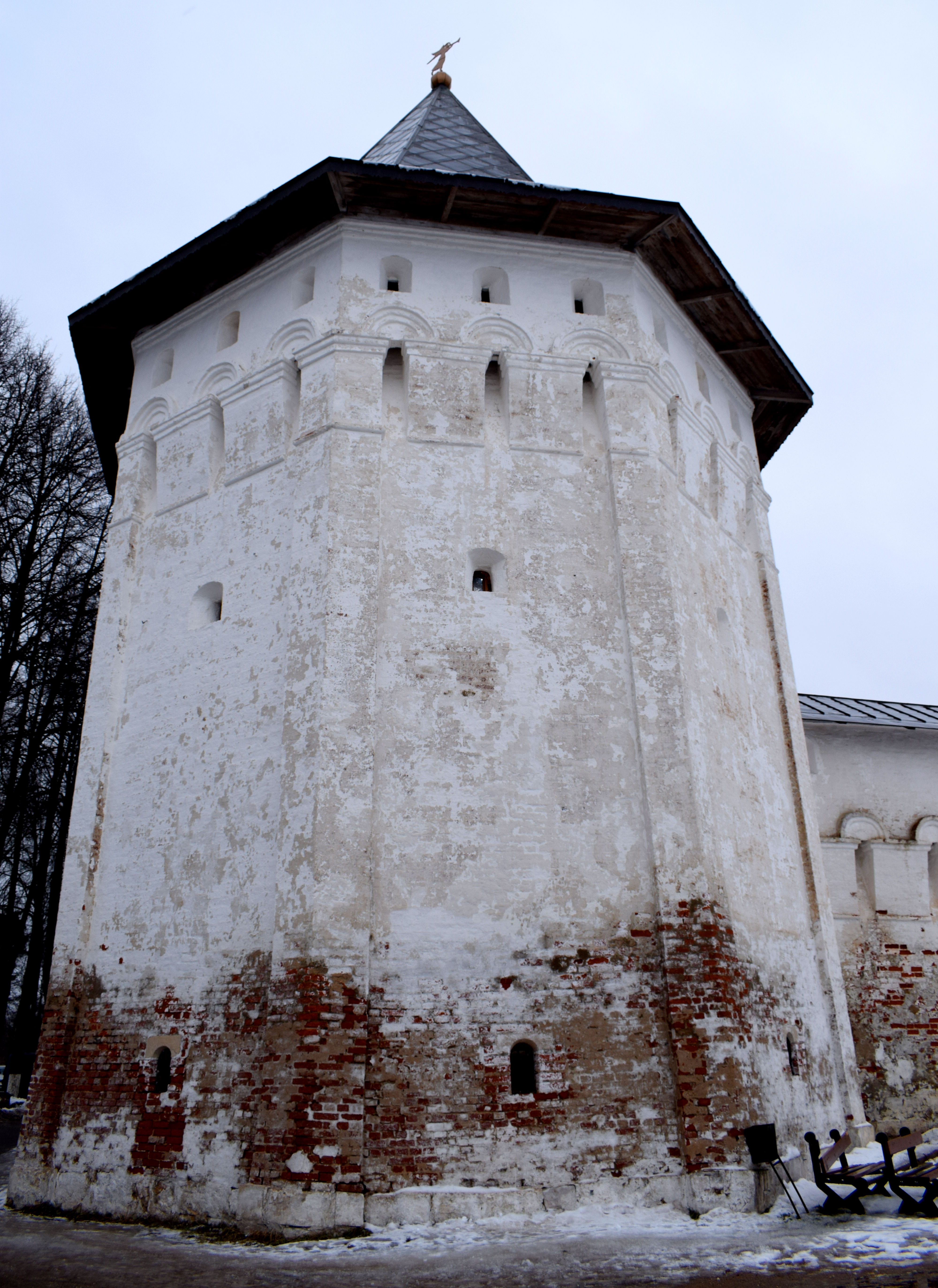
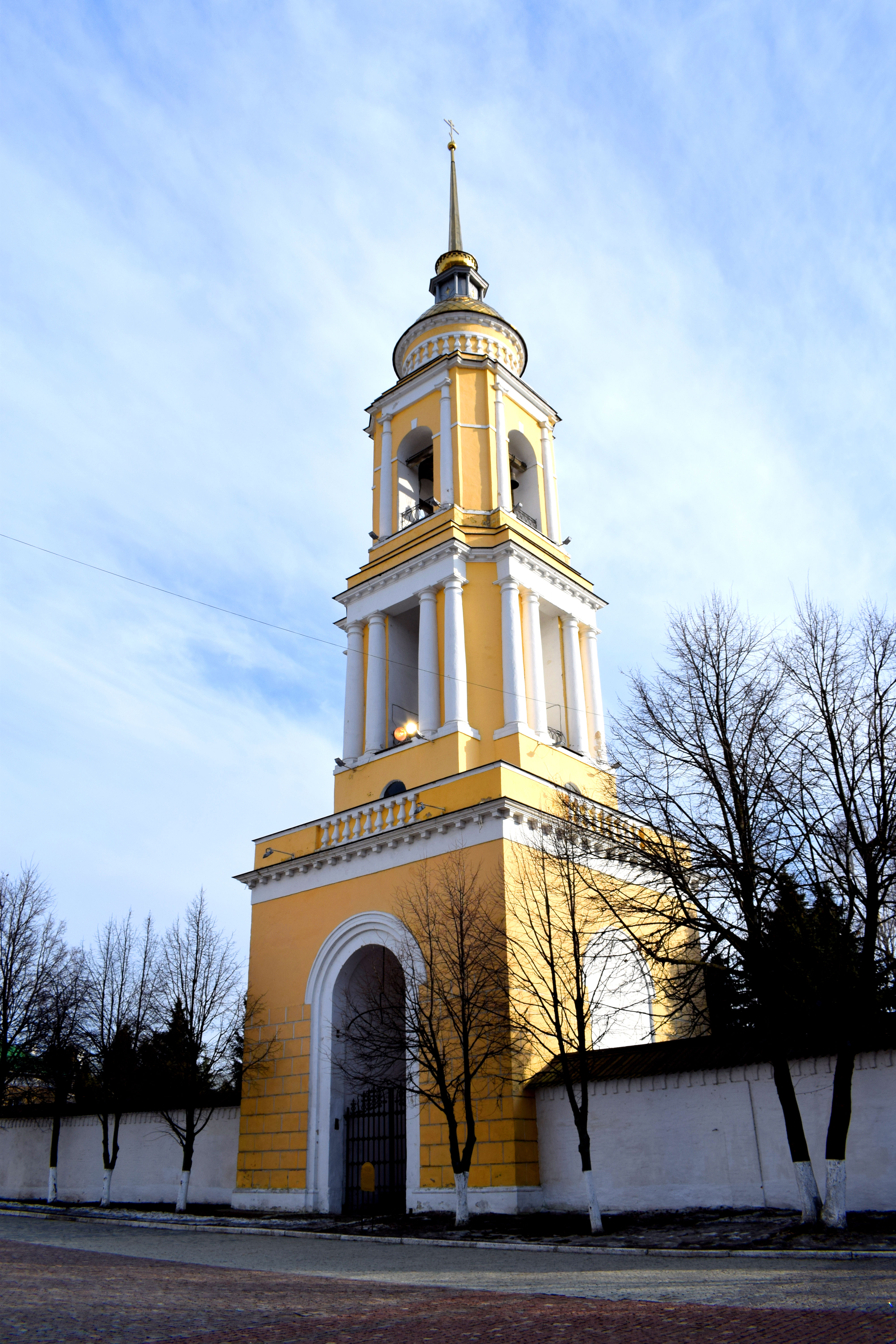
 The towers are beautifully preserved. These arches served as lookout posts to shoot at invading armies from the south and east in the 16th century. The Kremlin protected the city’s religious and political elite.
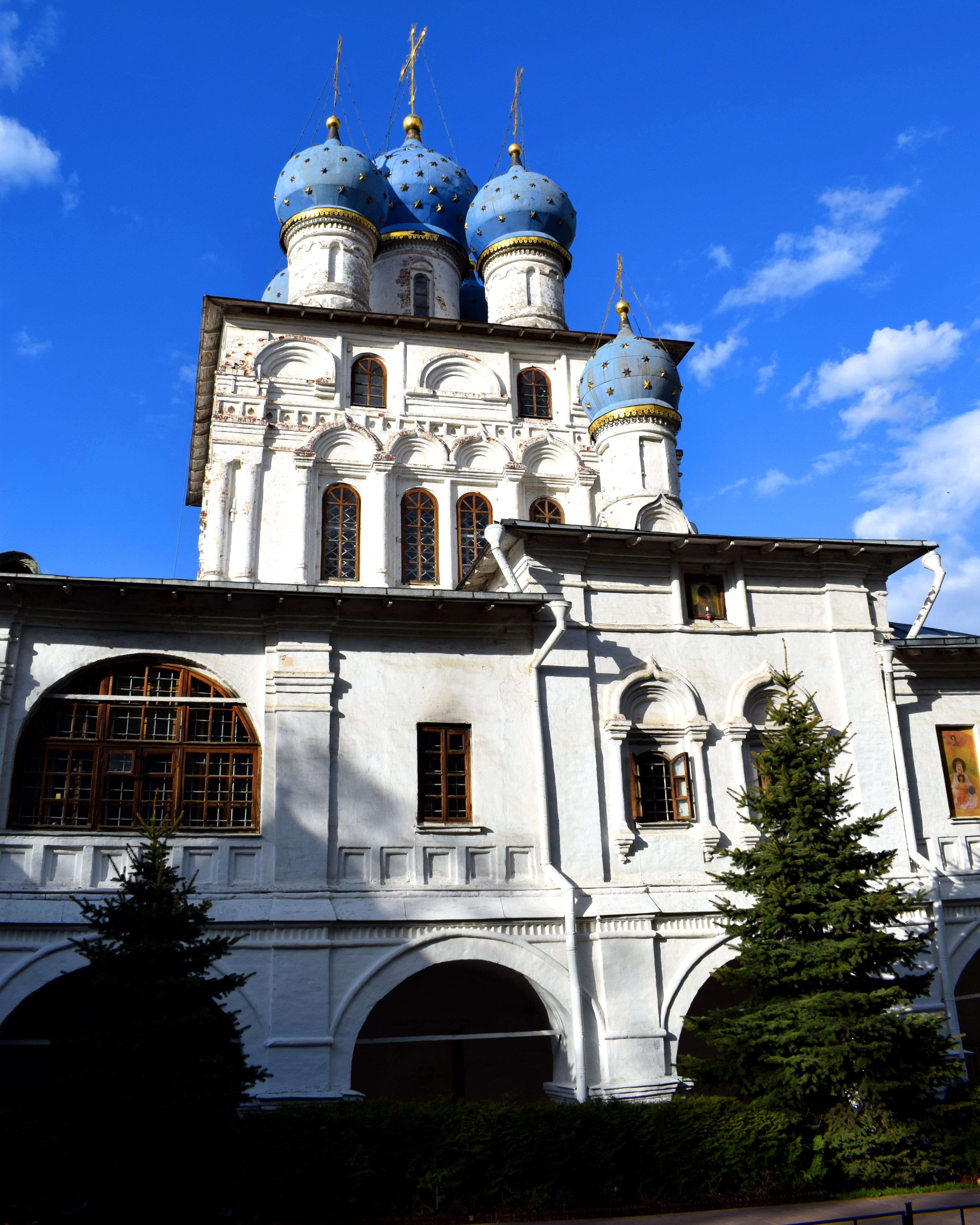
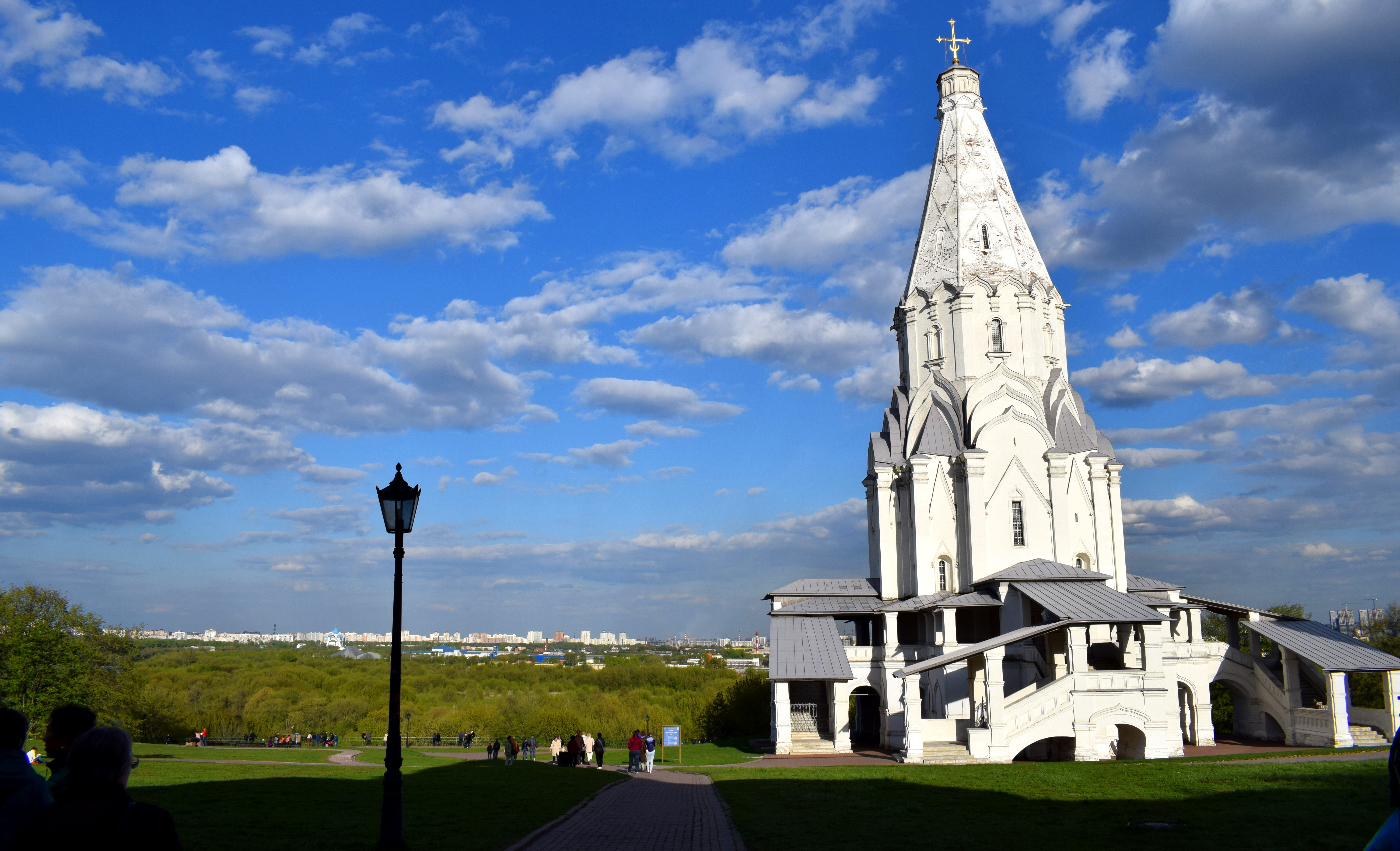
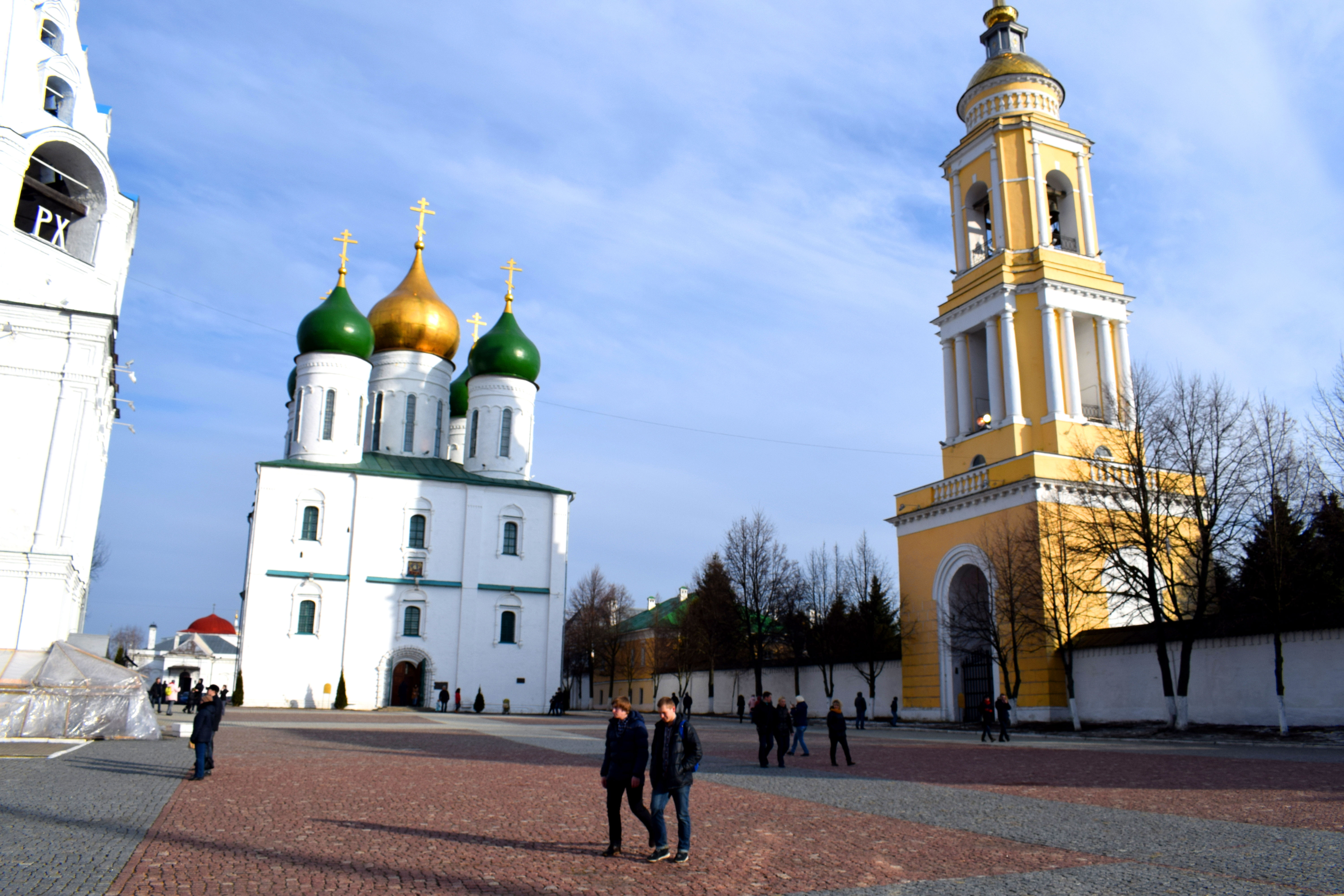
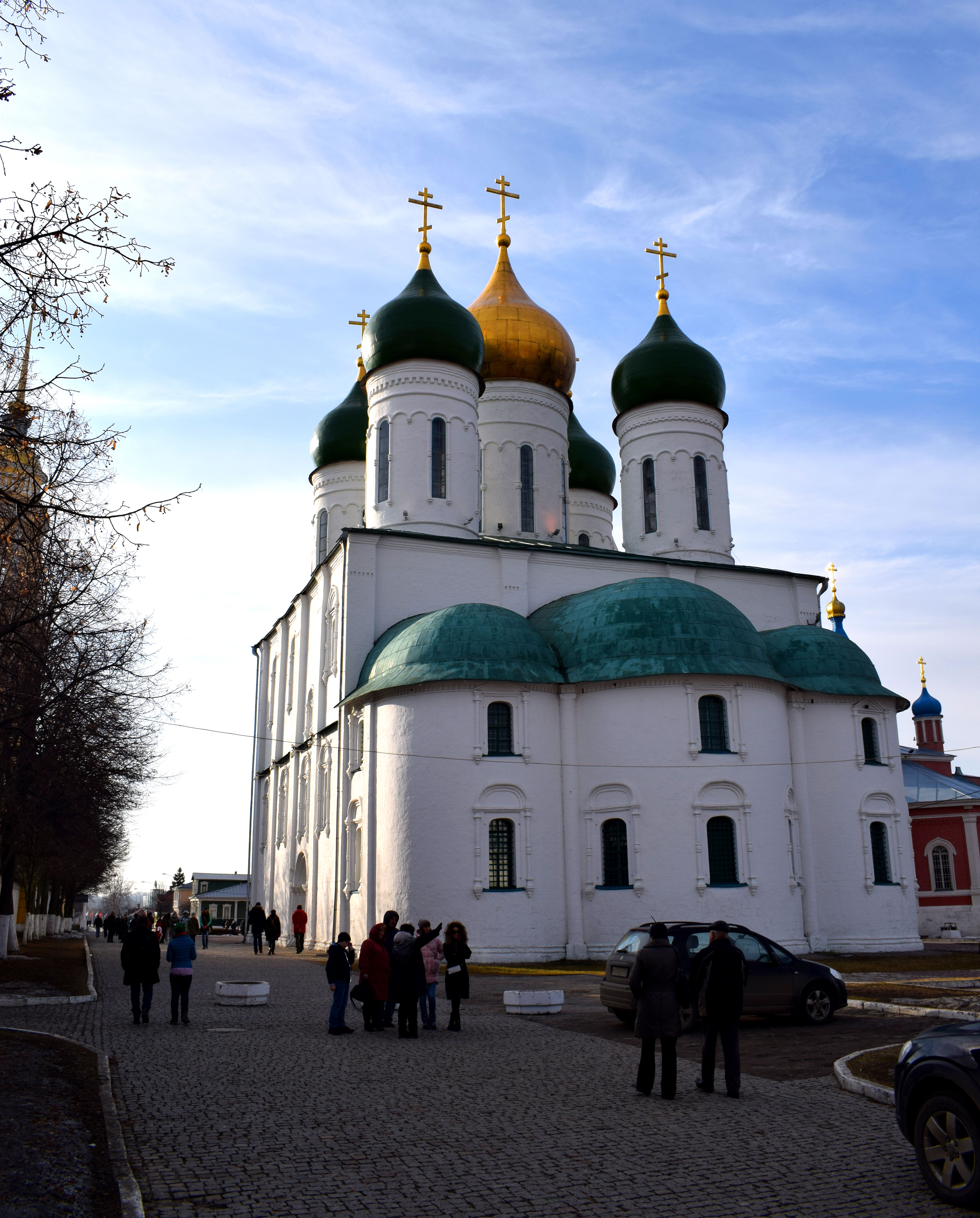
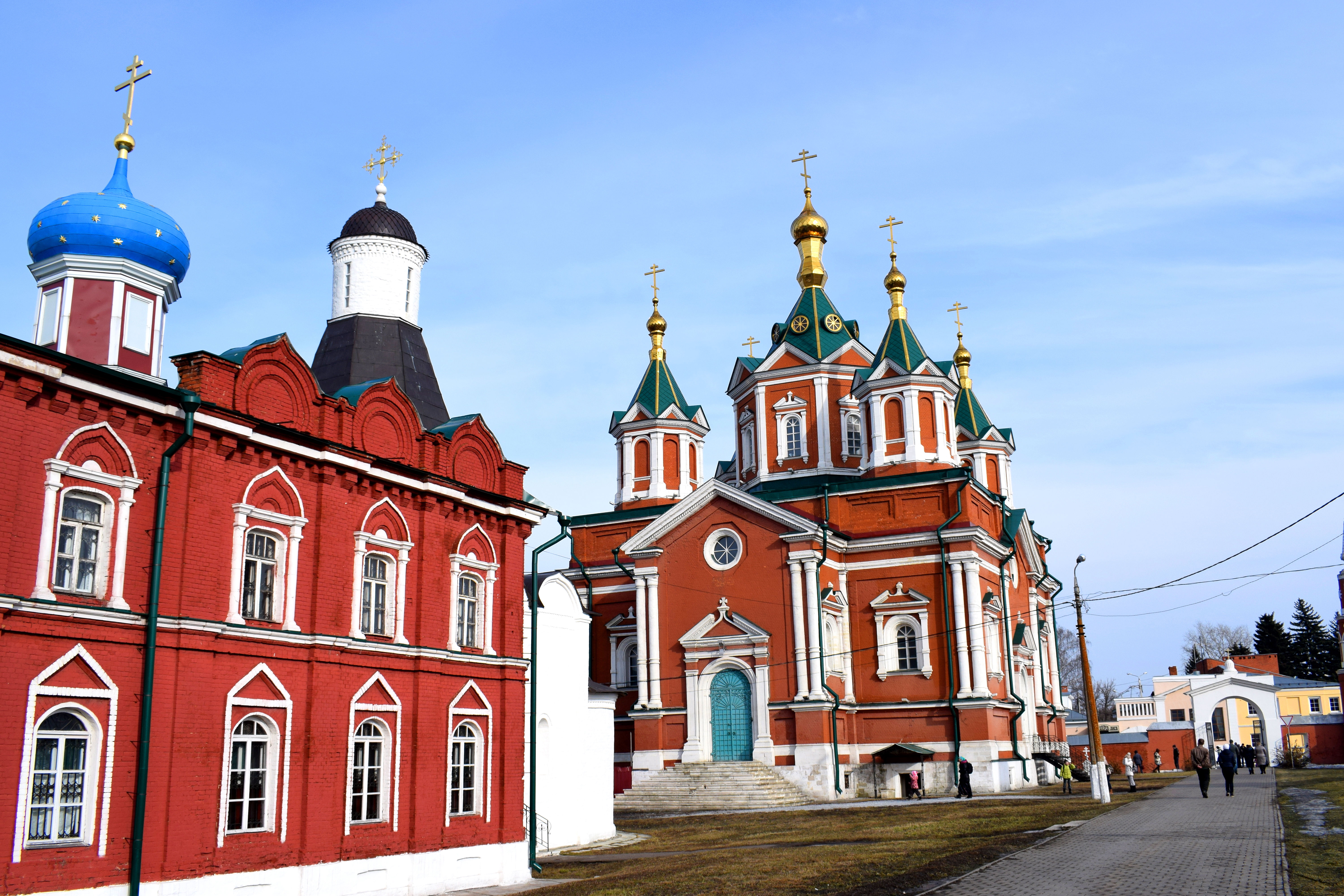
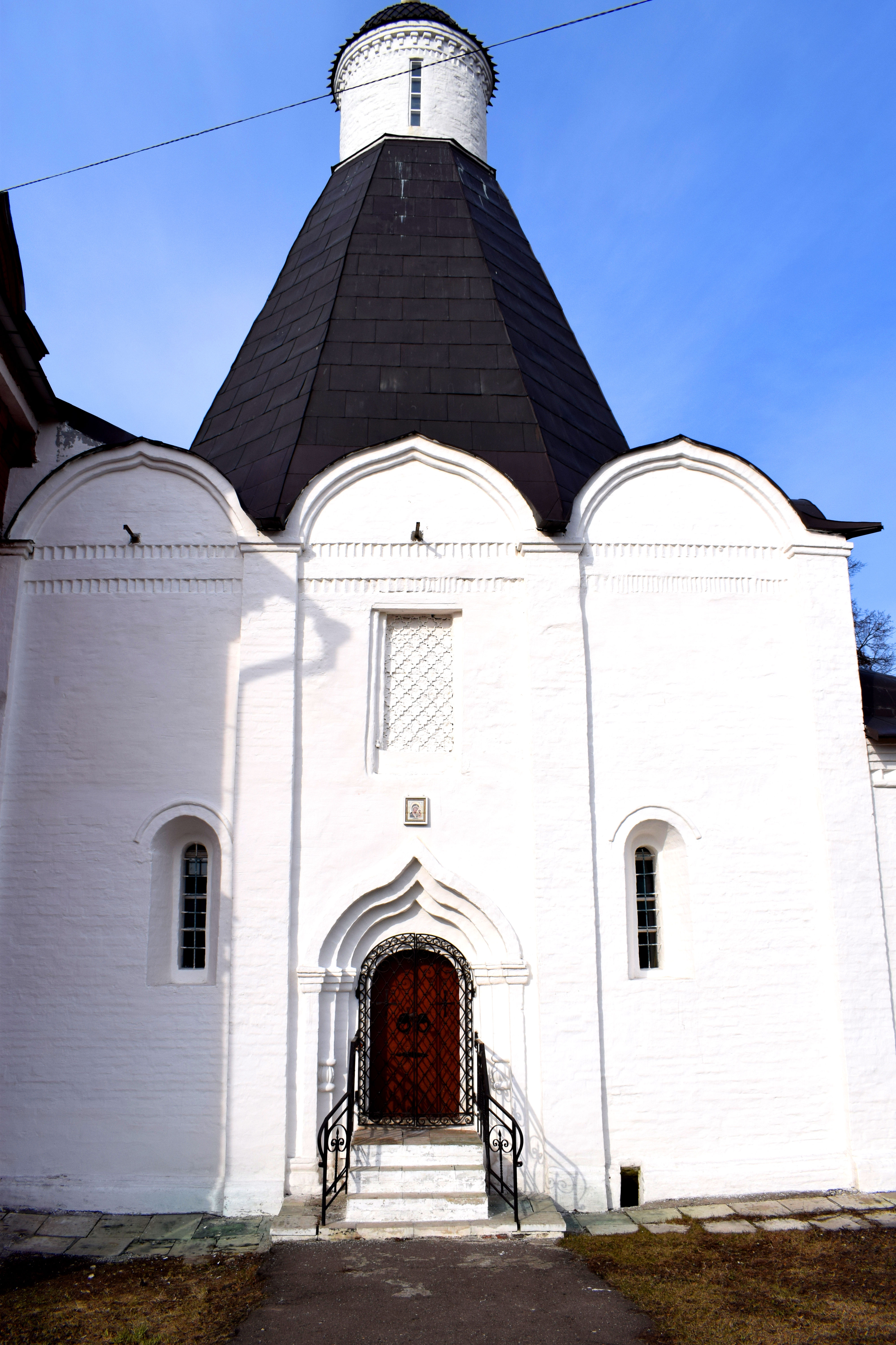
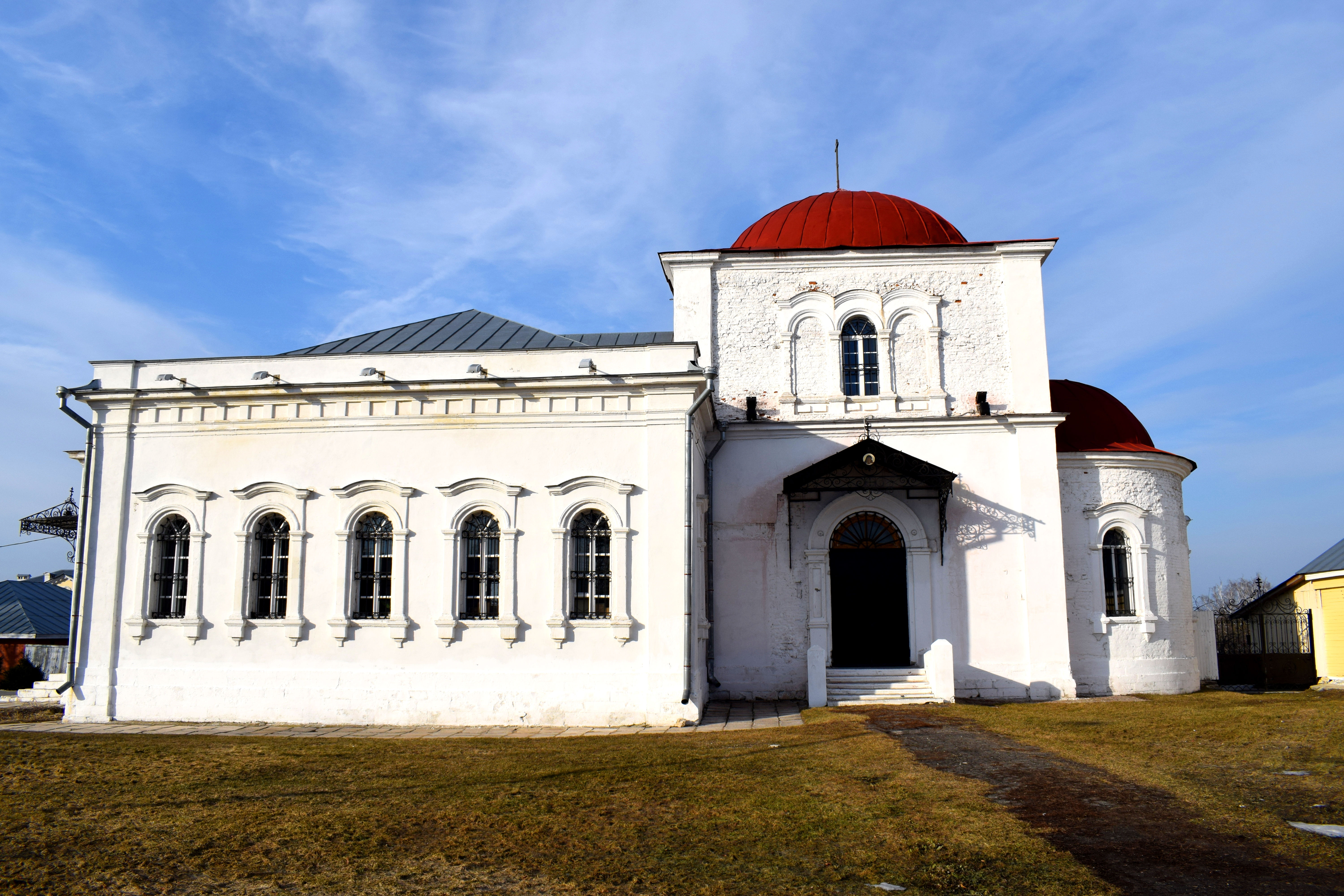
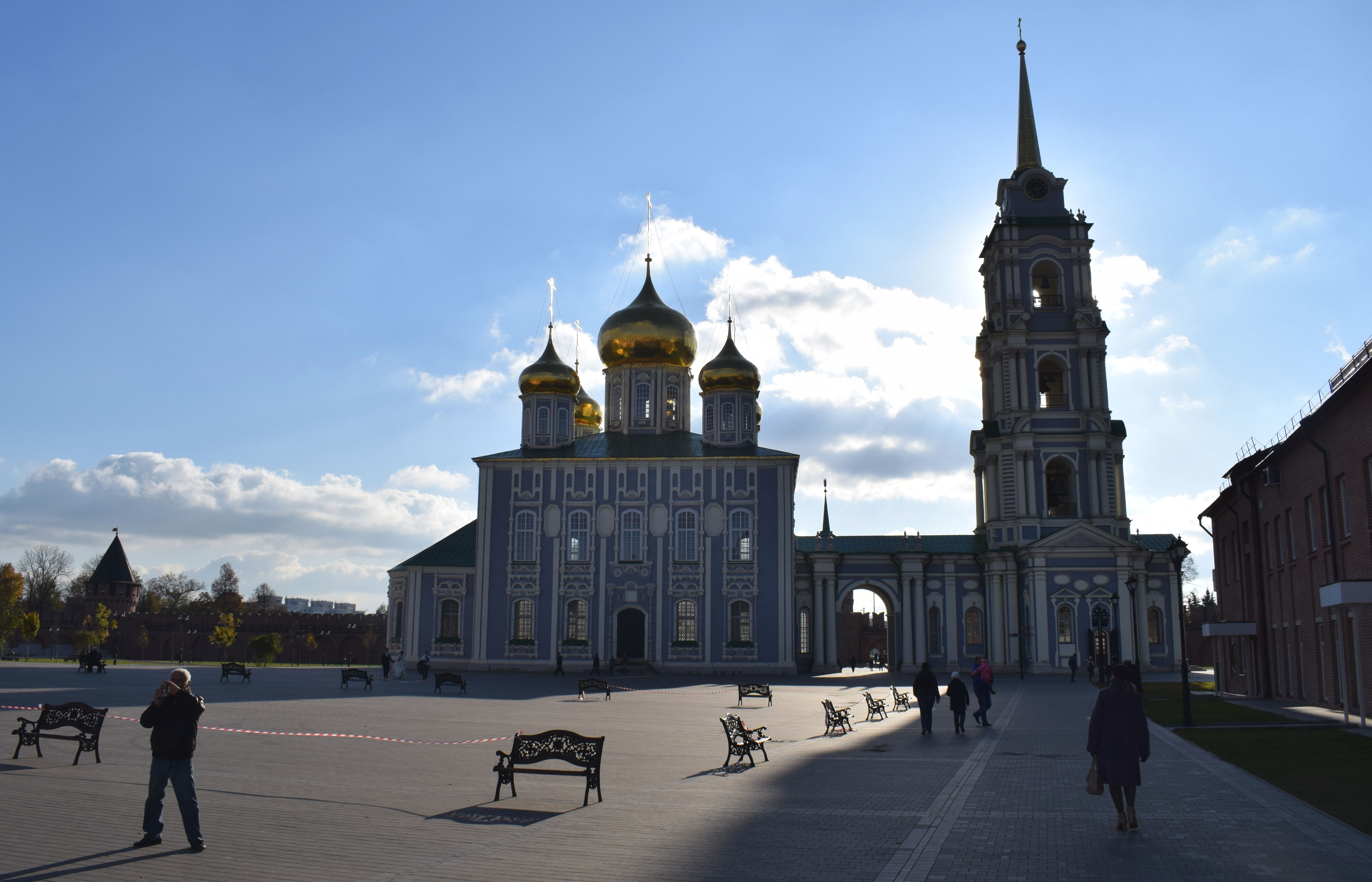 There are two cathedrals located within Tula’s Kremlin. The Assumption Cathedral (1762-1766) and the Epiphany Cathedral (1855-1863).
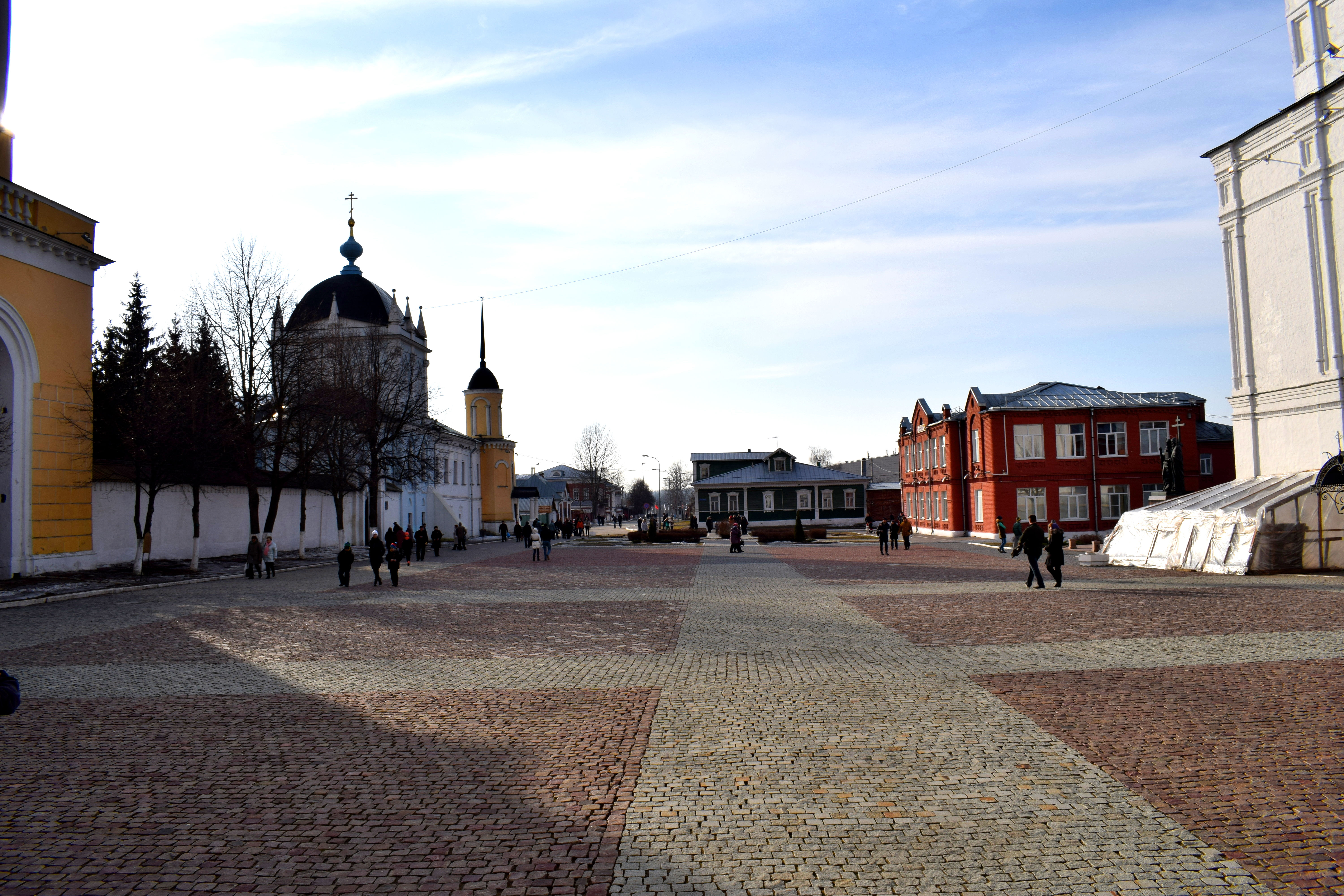
 The grass and walls of the Kremlin were impeccably clean. What I loved about the Kremlin in Tula was that it was open to the public. Anyone could walk inside and enjoy the city’s main historical landmark. The same is true of the Kremlins in Nizhny Novgorod and Veliky Novgorod.
In Moscow, the Kremlin is closed to the public. In order to visit, you have to pay. And as a result, nobody gets to enjoy the Kremlin. Tourists will pay and go inside when they visit the city. But the actual residents of Moscow, the people that live in the city, never get to enjoy it. It feels separated from the city, not like an integral part of it.
It wasn’t always like this. Up until the Bolshevik revolution in 1917, Moscow’s Kremlin was open to the public and anybody could walk in and out of it. It functioned just like the Kremlins in Tula, Nizhny Novgorod, Veliky Novgorod and so forth.
Moscow should learn from these cities and open their own Kremlin up to the public. The city would become much more attractive.
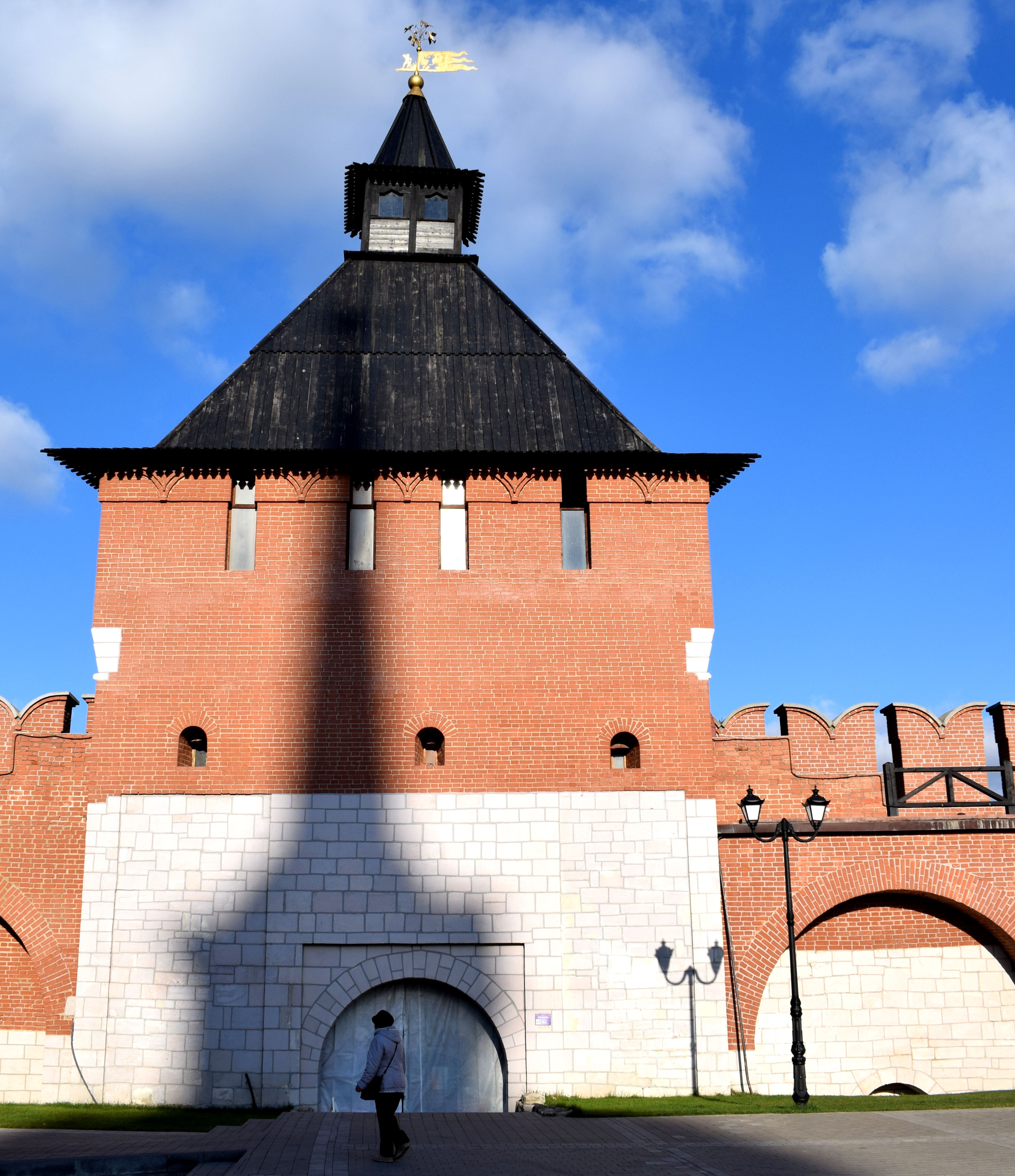
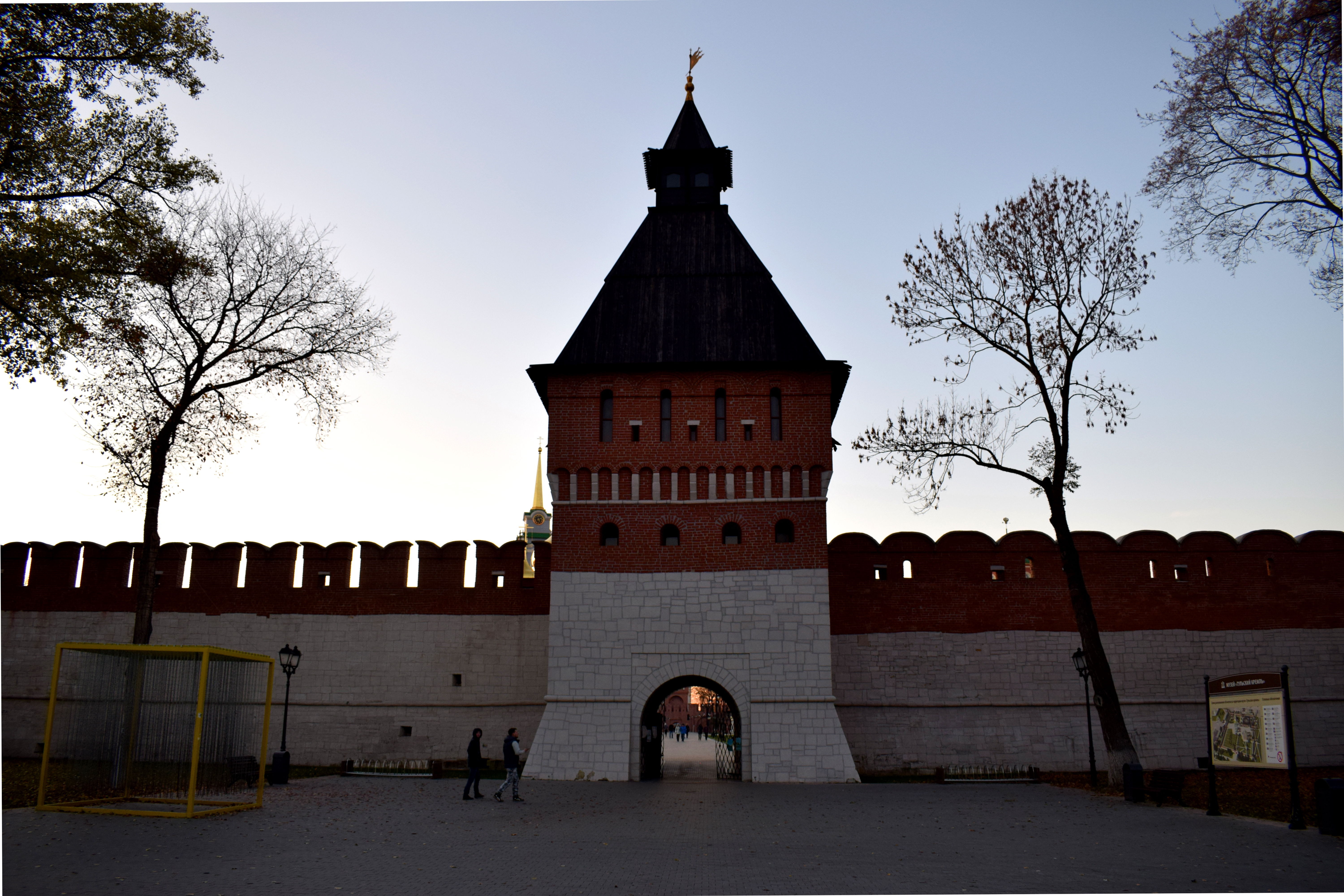
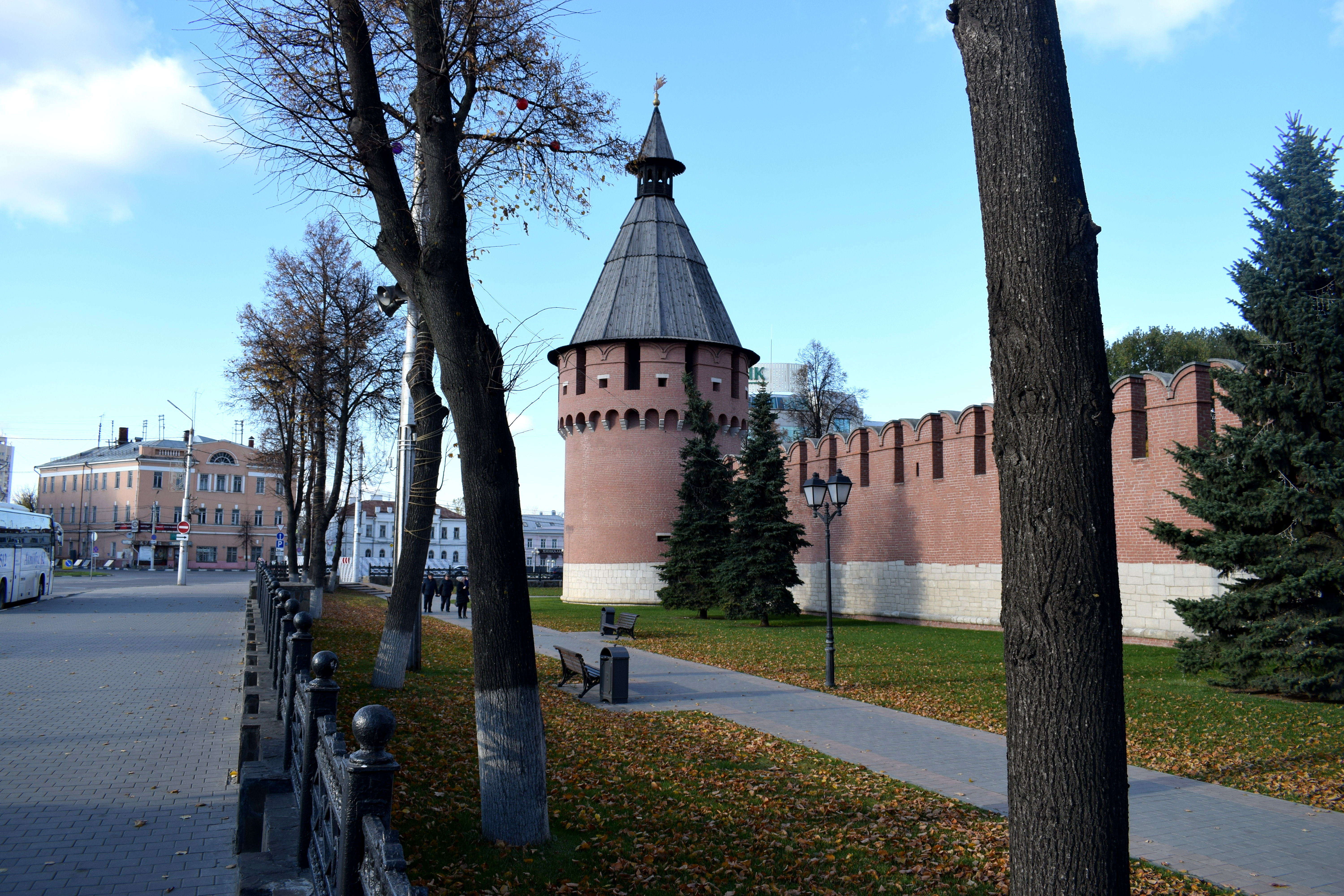 Outside of the Kremlin looking at one of the Kremlin’s towers and observation posts.
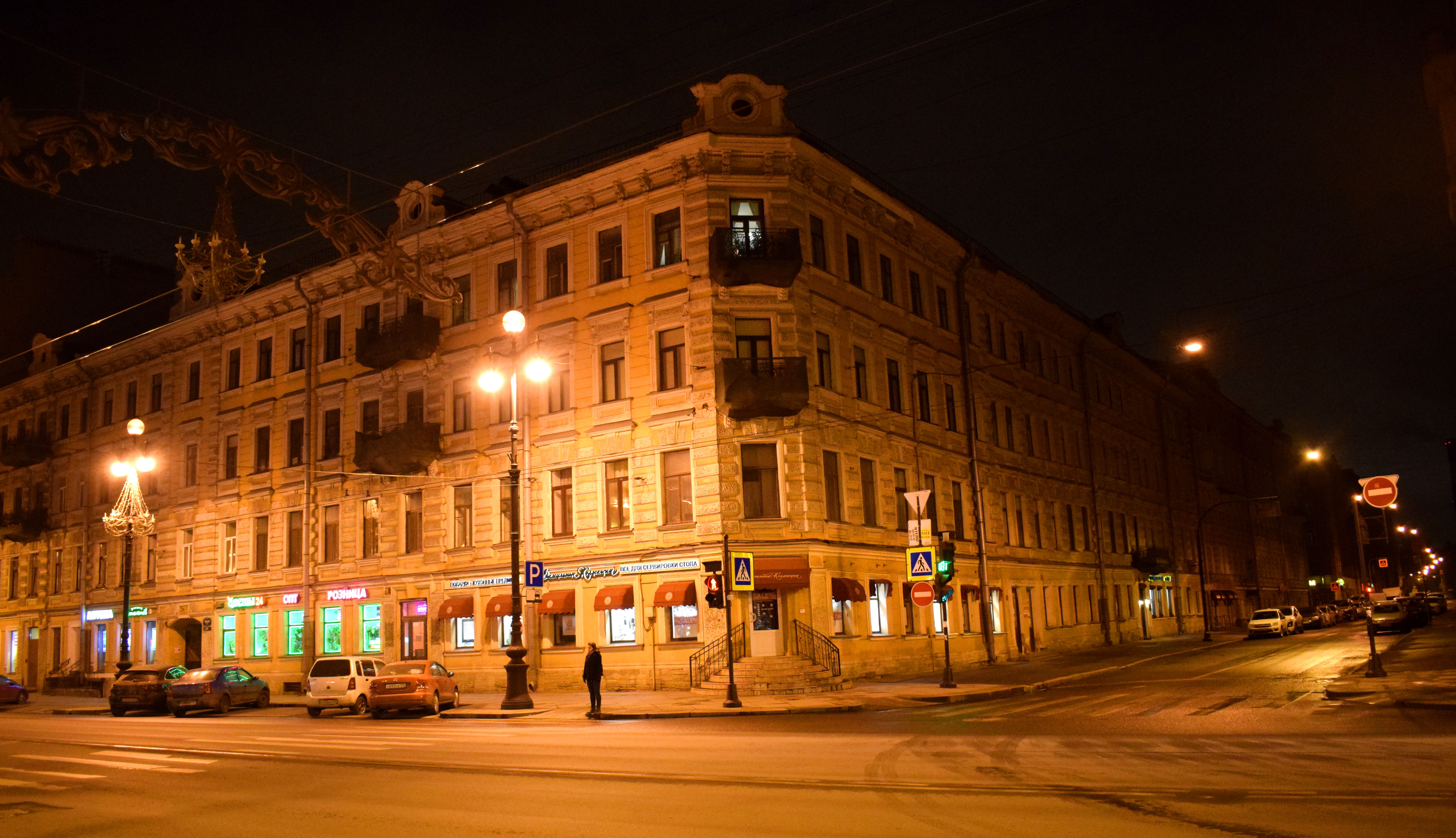
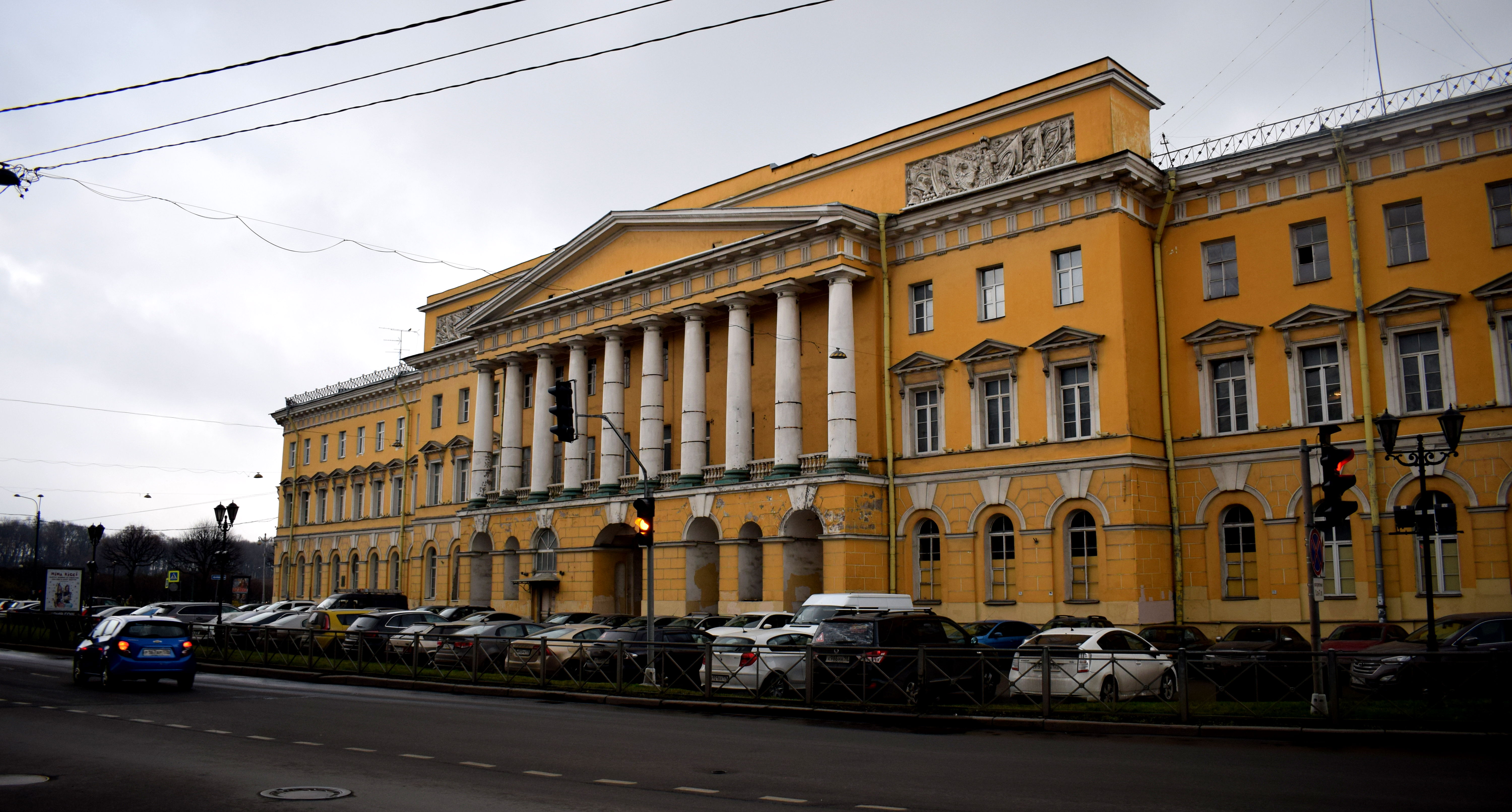
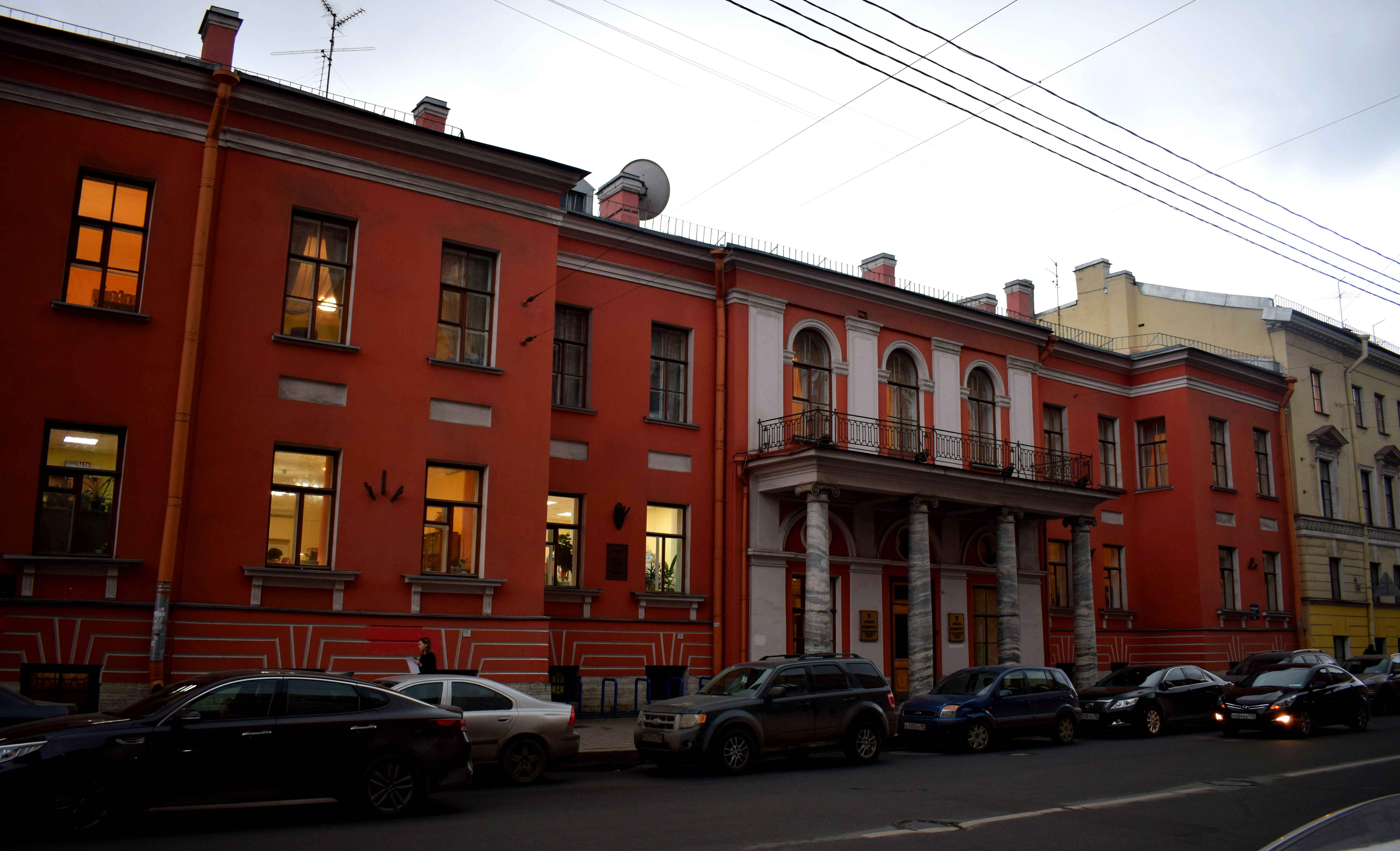
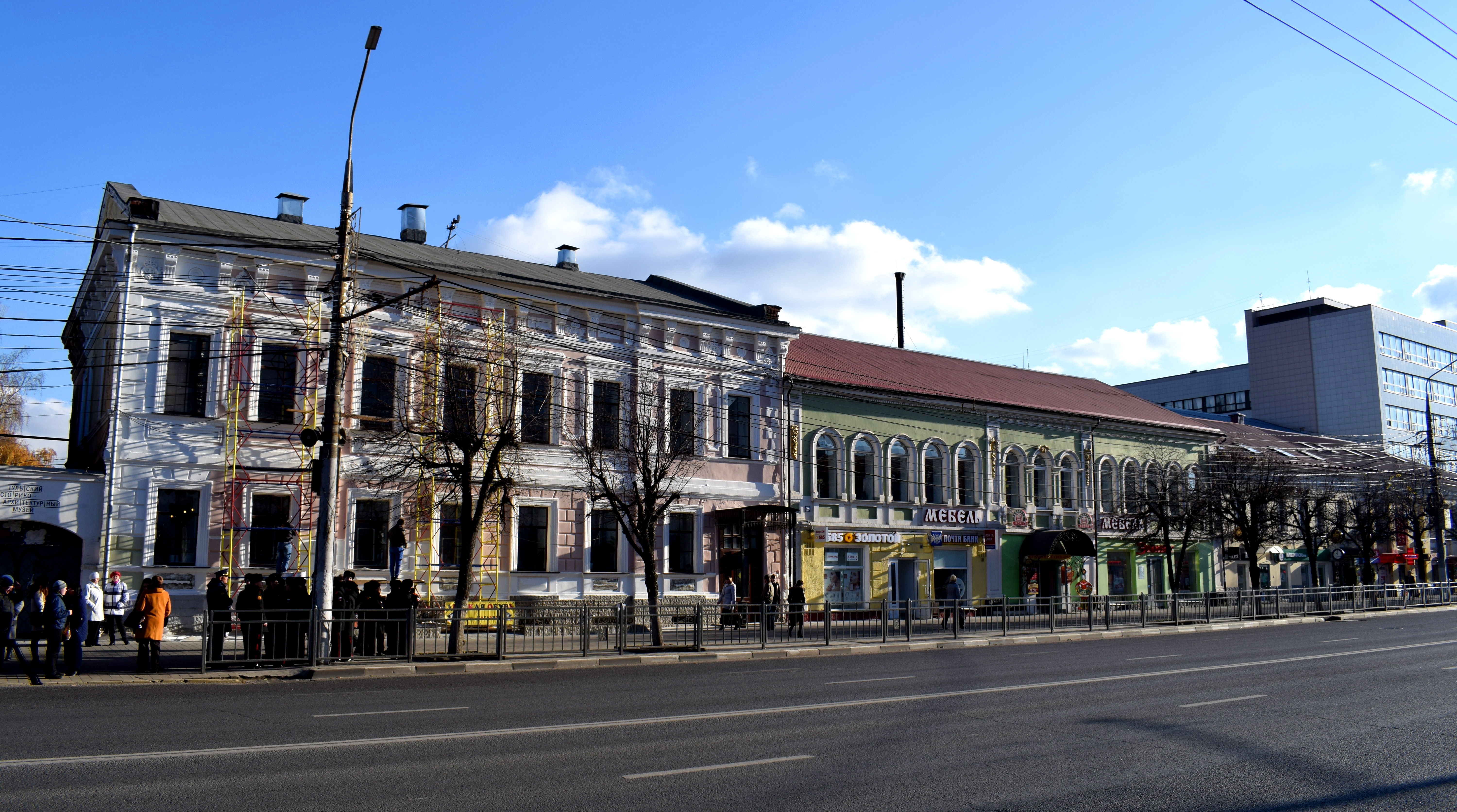
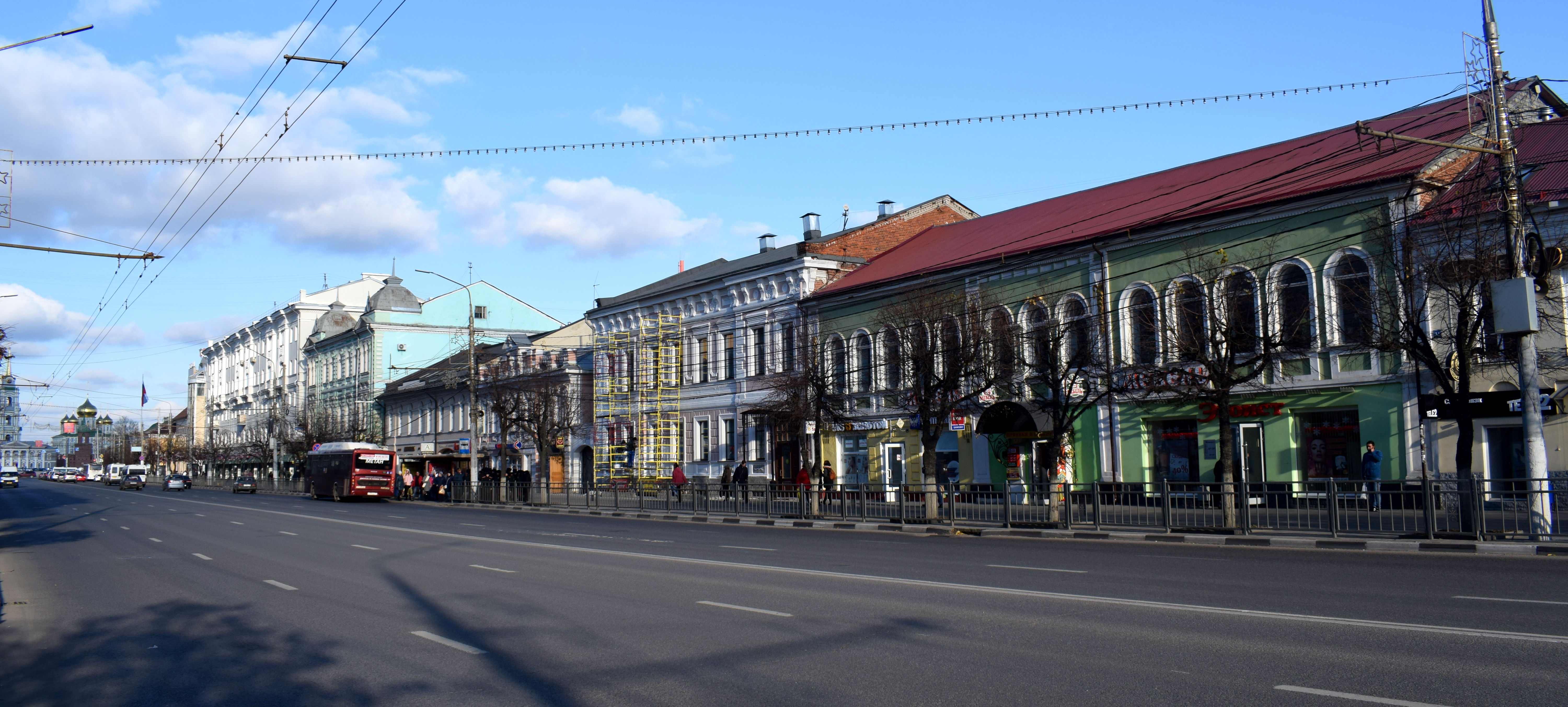
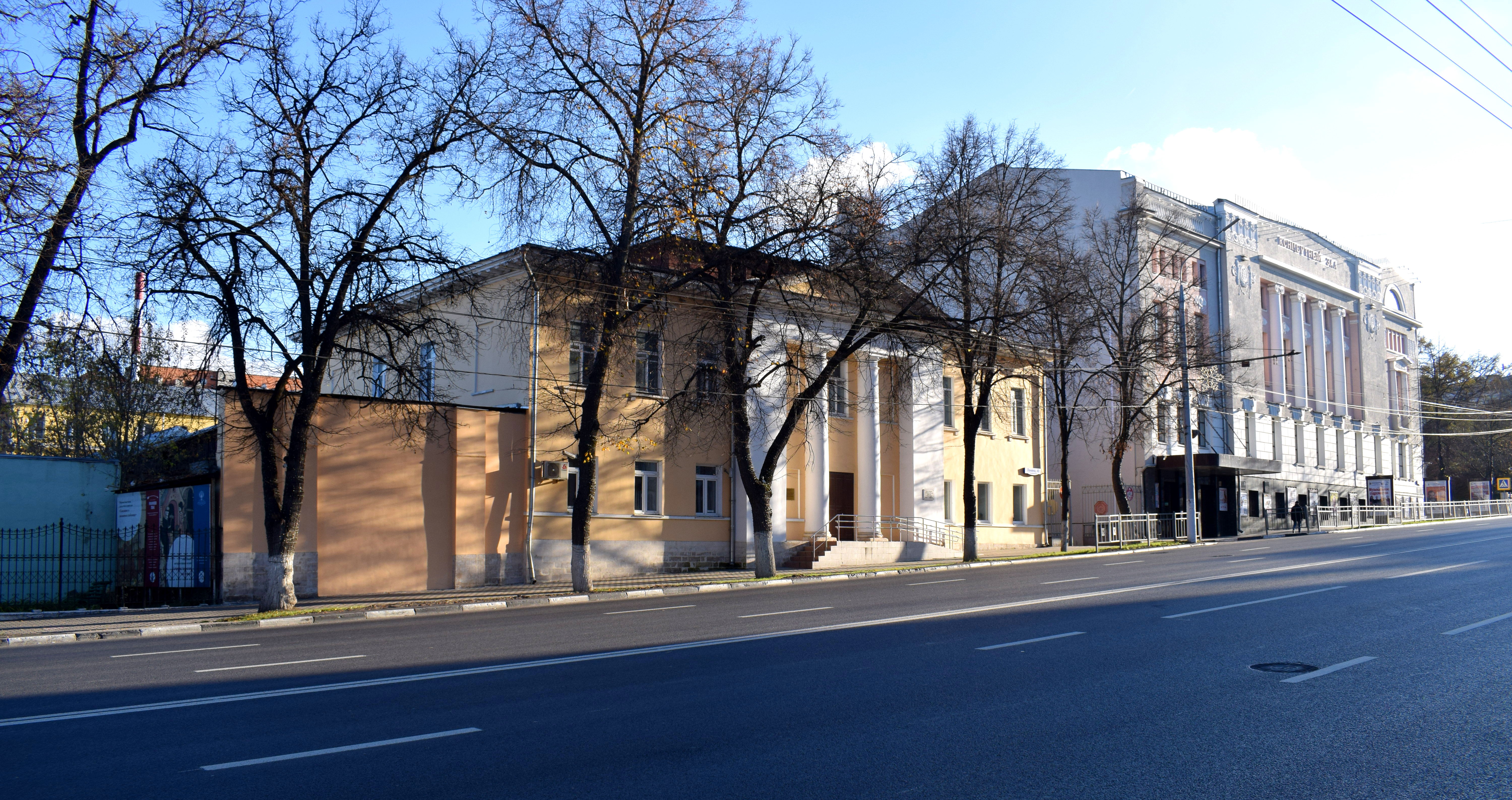
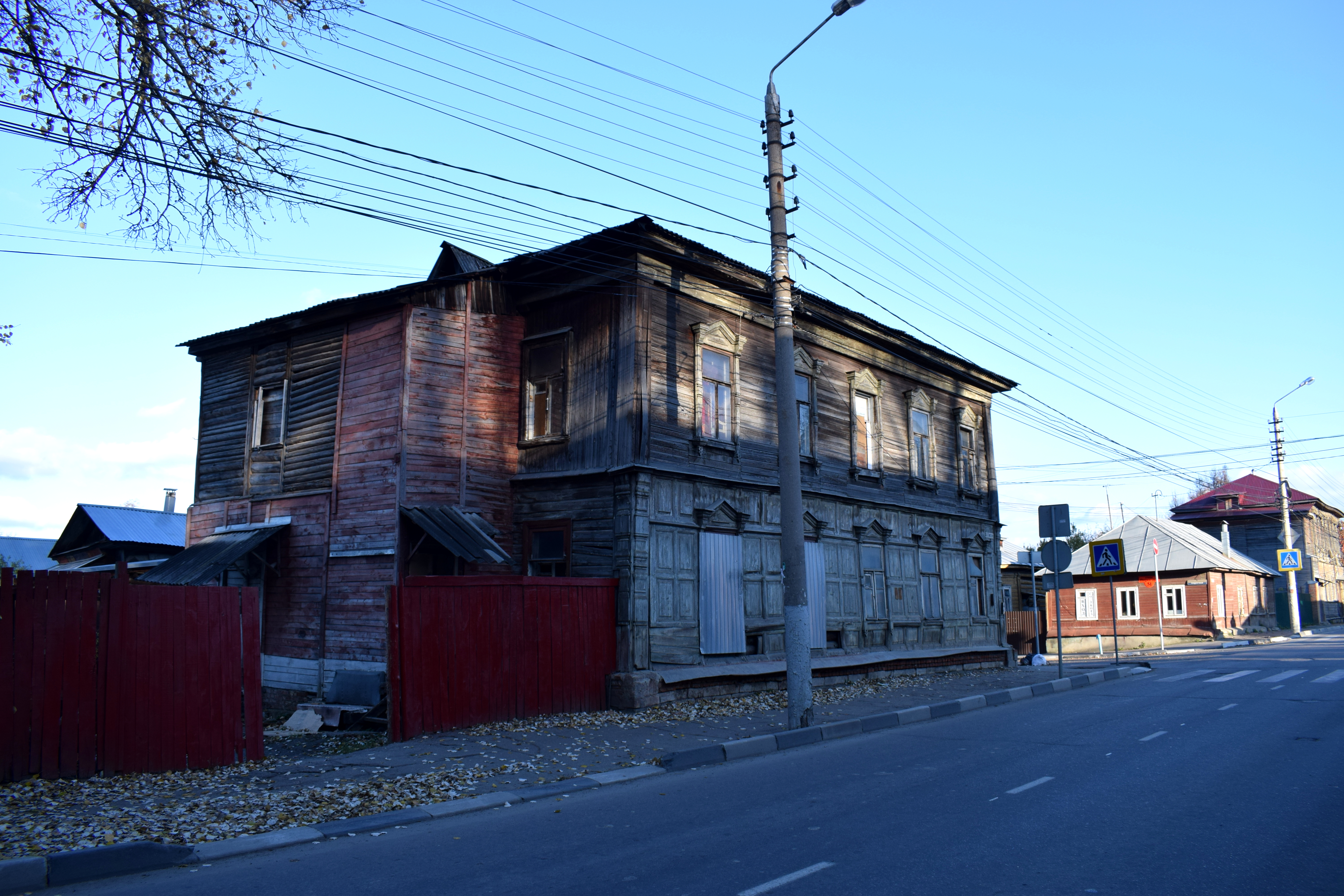
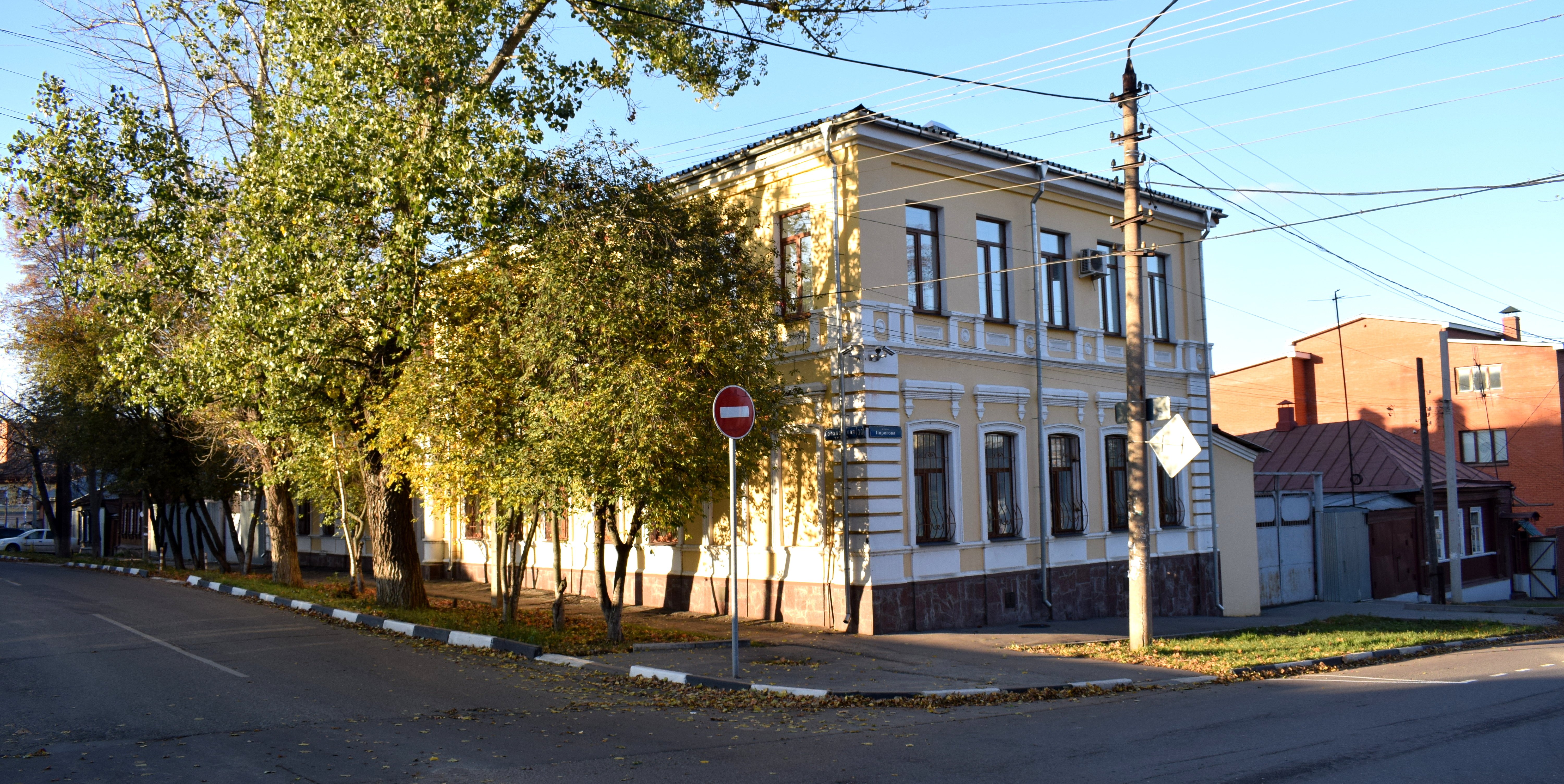
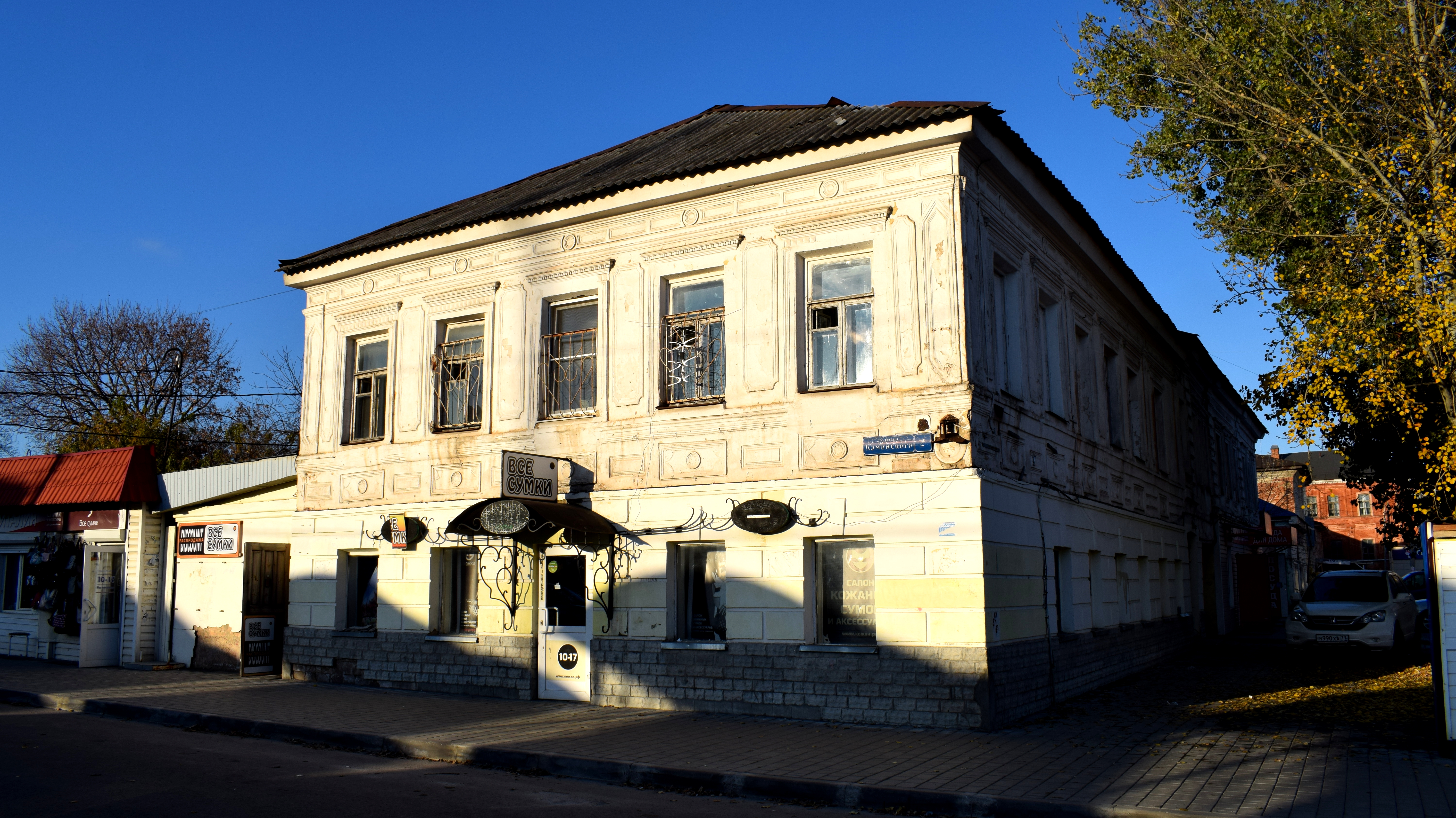
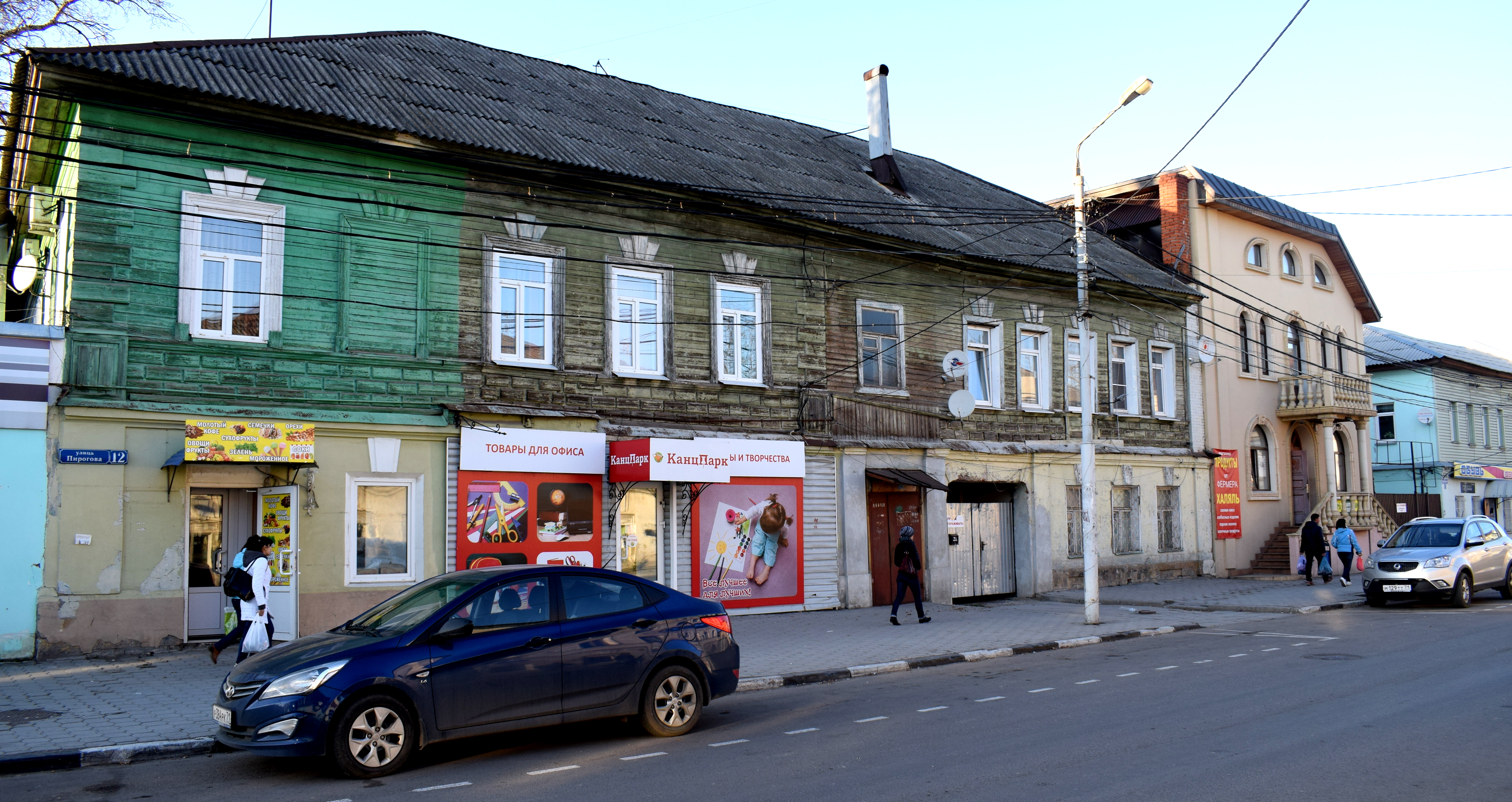
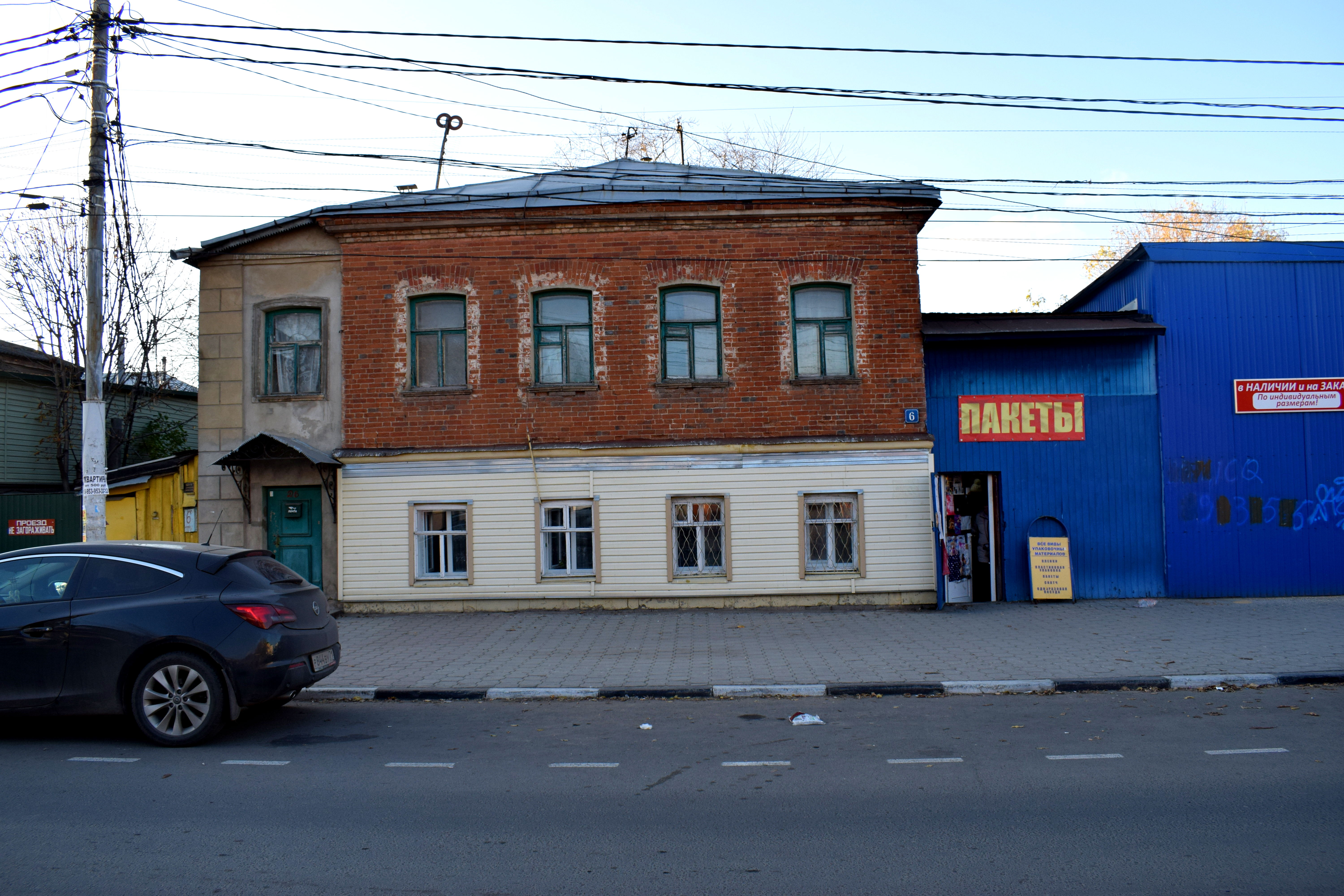
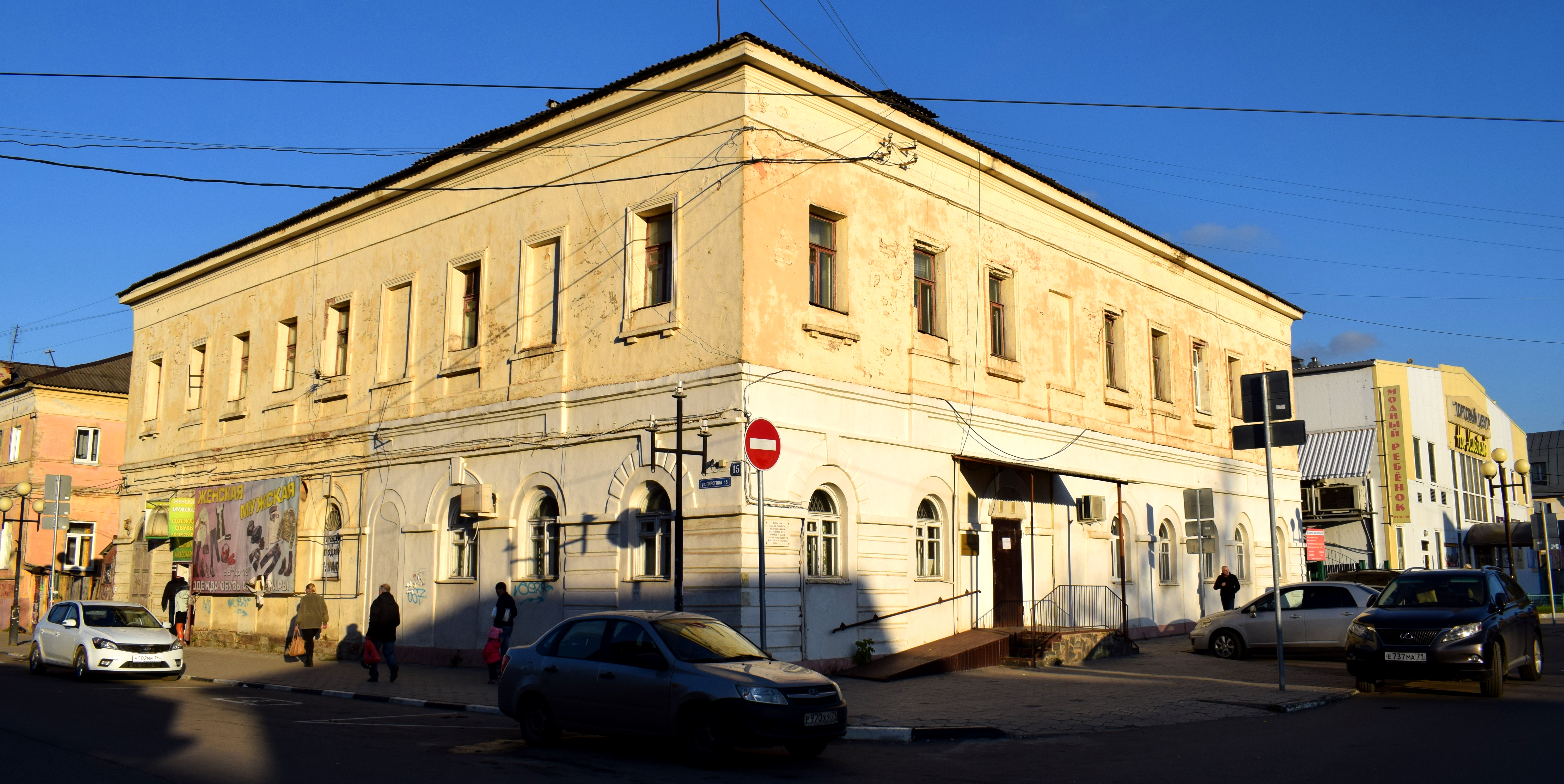
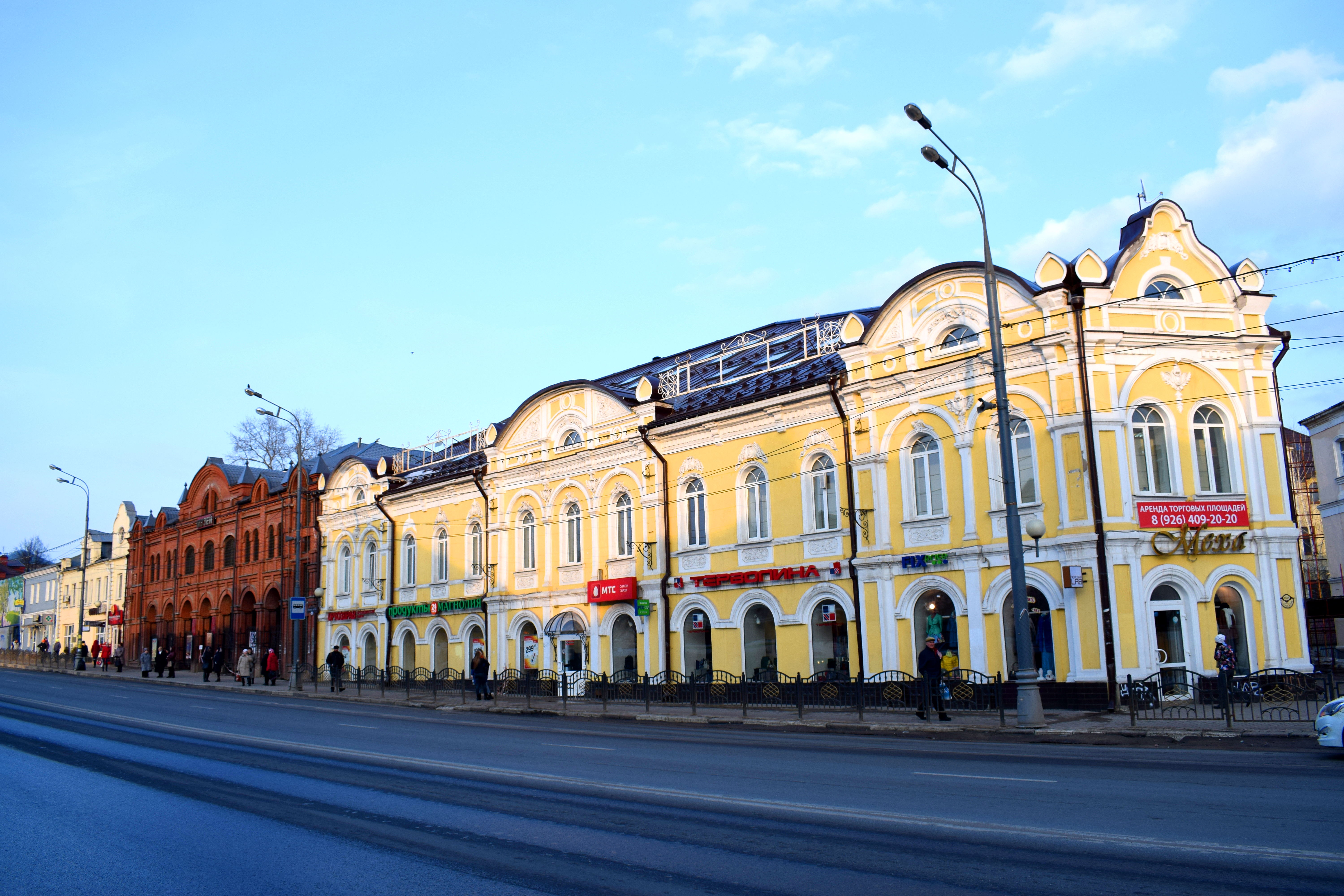
 Of course, there is more to Tula than just the Kremlin. Despite significant damage the city faced in WWII and attempts by the Soviets to raze down historical buildings, a number of streets in the city were filled with architecture from the 19th and early 20th century.
 It’s buildings like these that make it especially enjoyable for me to visit smaller Russian cities. They are a testament to the fundamentally European nature of Russia. There really is nothing distinguishing these kind of buildings from any others you find in Europe.
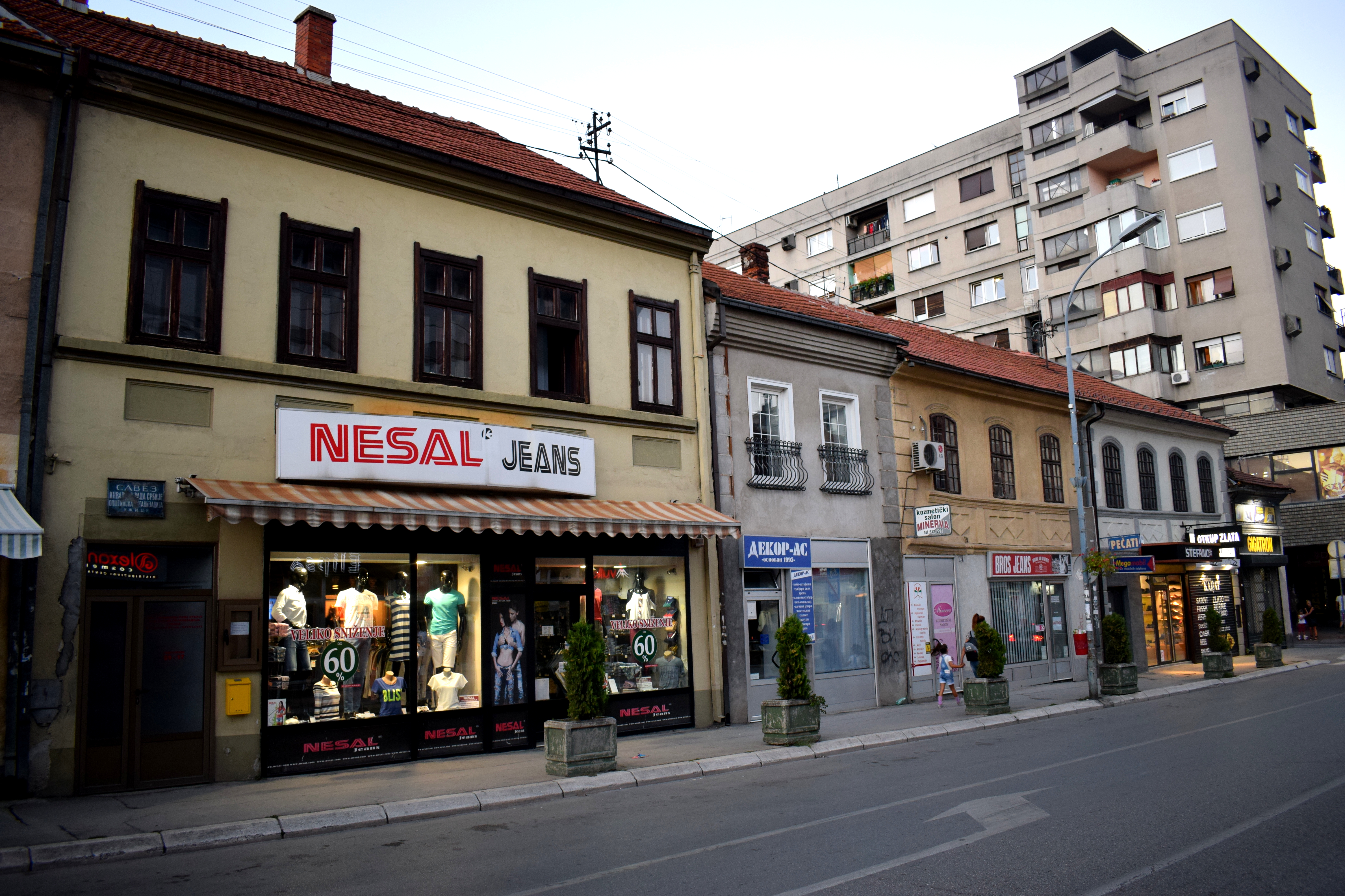
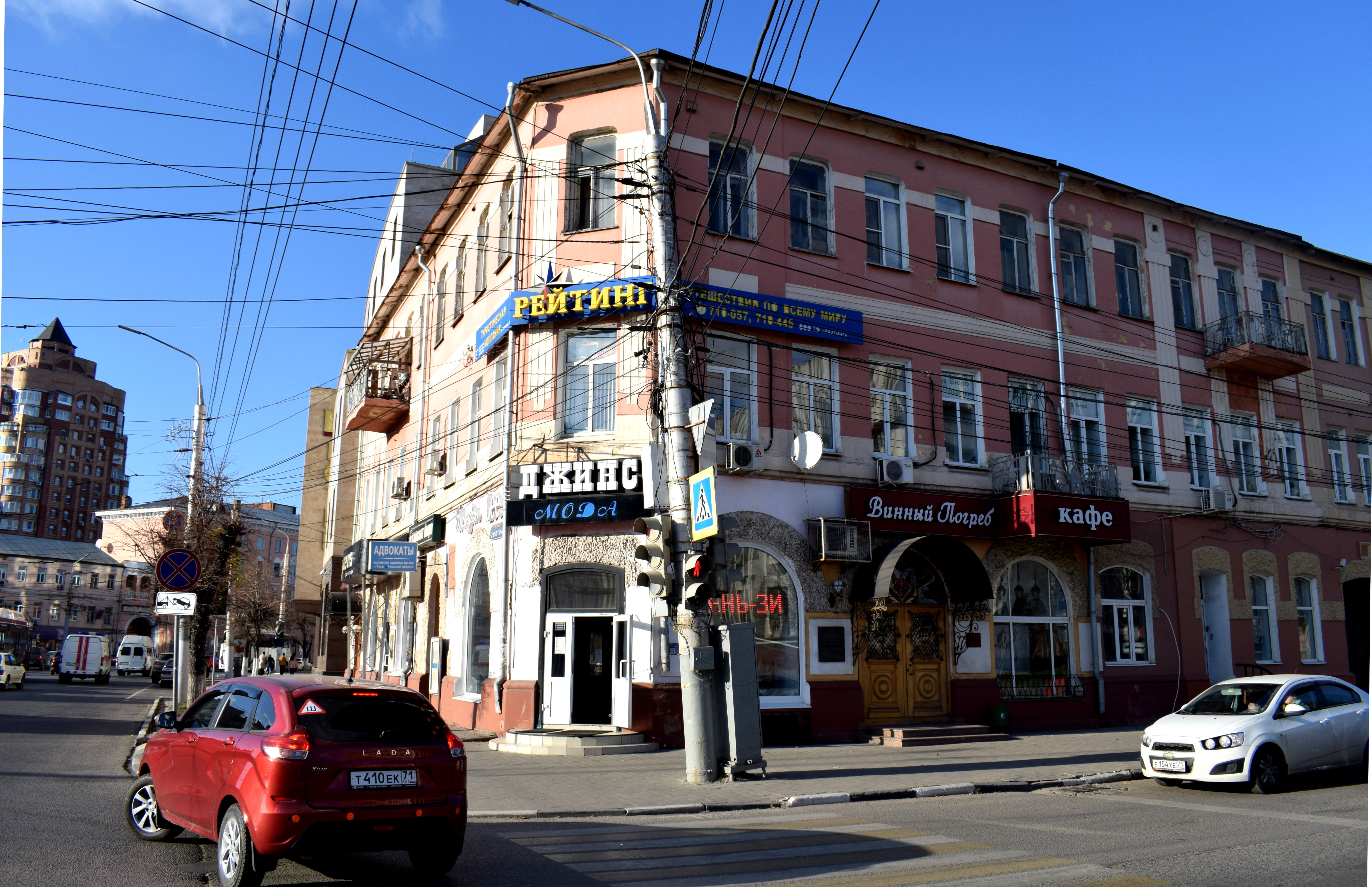 The only difference is that they were in slightly worse shape in Tula. One problem I noticed in the city was the huge amount of advertisements that covered up many buildings. The city clearly needed a design code, so that store signs and advertisements would not cover up the facades of buildings. Tula could learn from other cities in Eastern Europe like Szeged, Hungary that have successfully managed to implement a design code.
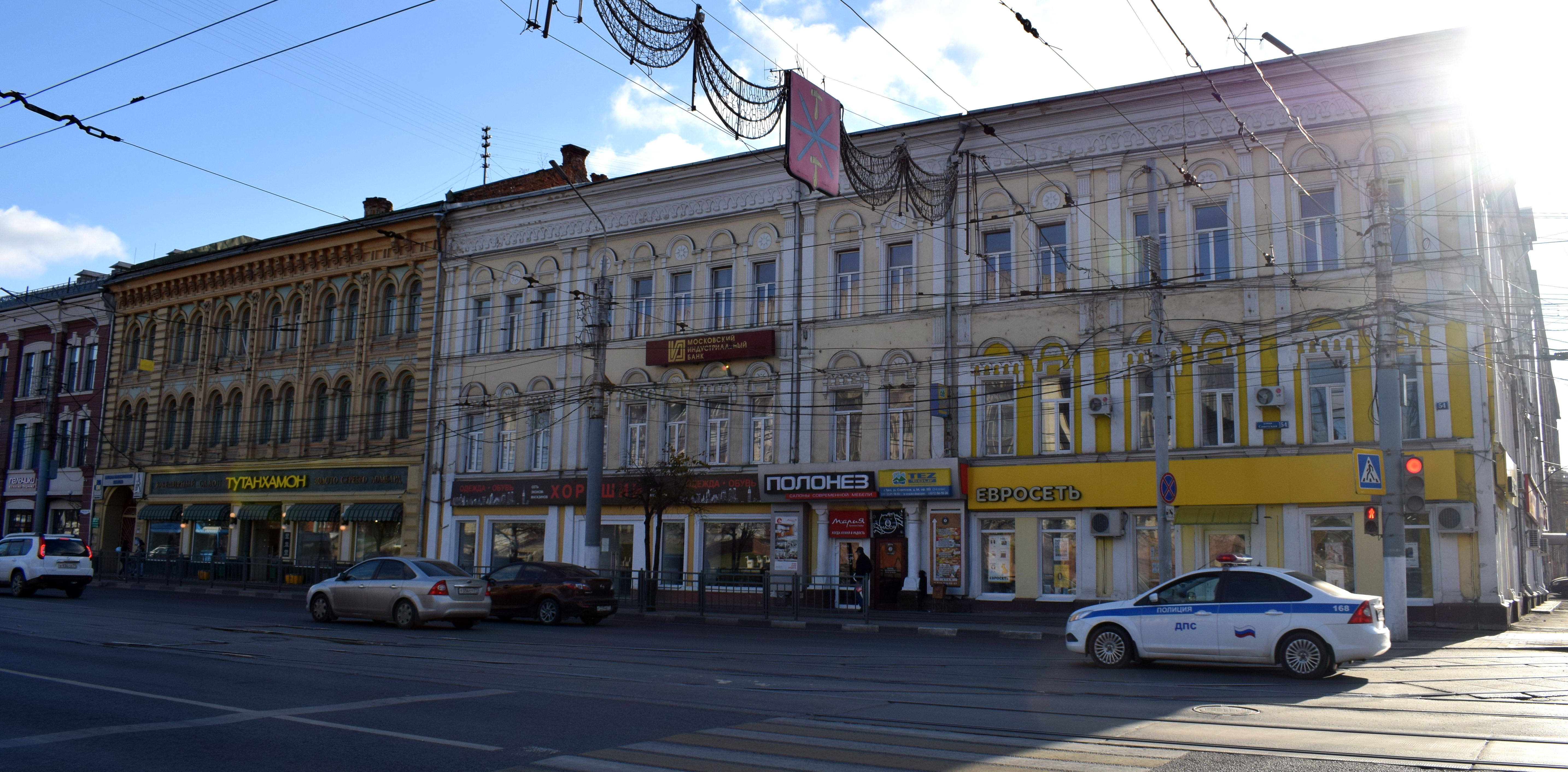 Despite the advertising, the historic nature of Tula’s center shined through. You could tell this was a city that had stood here for a long time, with history to it.
 Without the old buildings, Tula would lose its character. It’s these kind of buildings that need to be preserved at all costs. All over Russia, unfortunately, provincial cities are seeing their historical centers torn down. There are a lot of reasons for this – corruption, poor laws, education – but the net result is that these towns lose any tourist potential they still have. Let’s hope that Tula does not follow the same path and preserves the architectural heritage it has left.
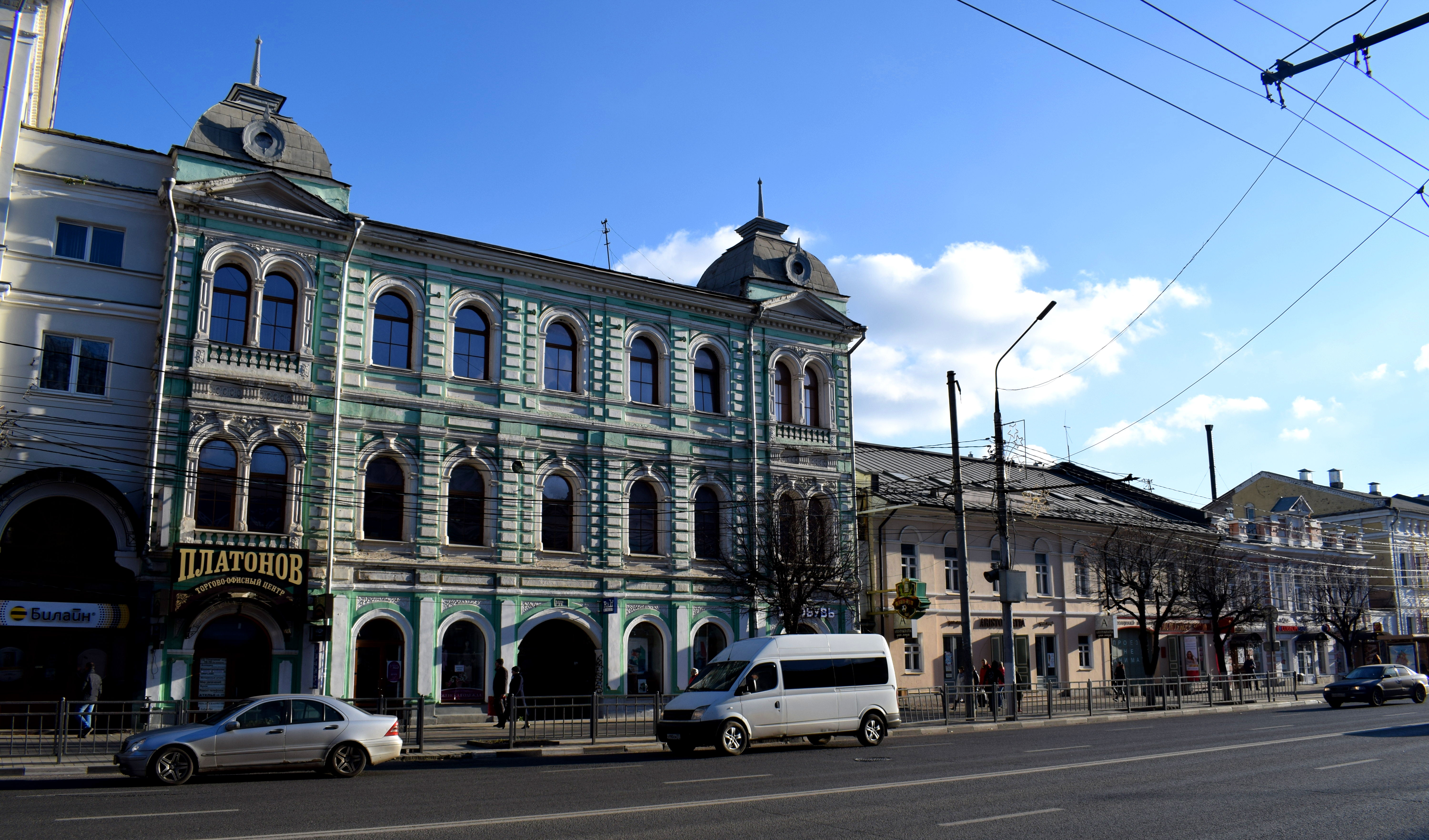
 As things stand right now, the city is in a great position to set itself up as a major tourist attraction for foreigners who visit Moscow and want to do a day trip to a city nearby.
 There is already talk of Russia lifting tourist restrictions for Europeans in 2021. After that, any EU citizen will be able to come to Russia without going through the complicated process of obtaining a visa. When this takes place, tourism to Russian cities will skyrocket. By preserving these buildings, Tula will ensure that foreigners will actually have something to see when they visit.
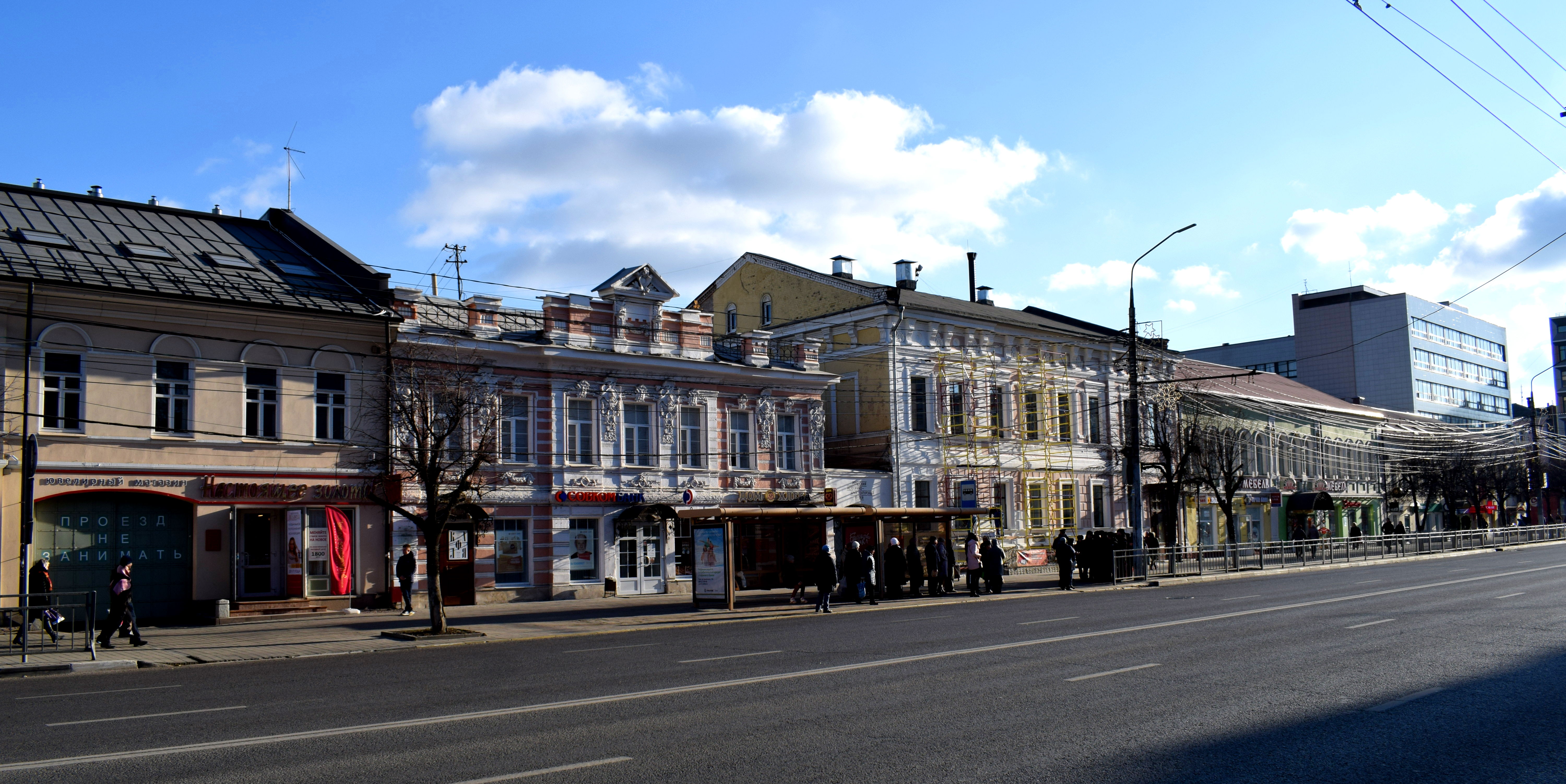
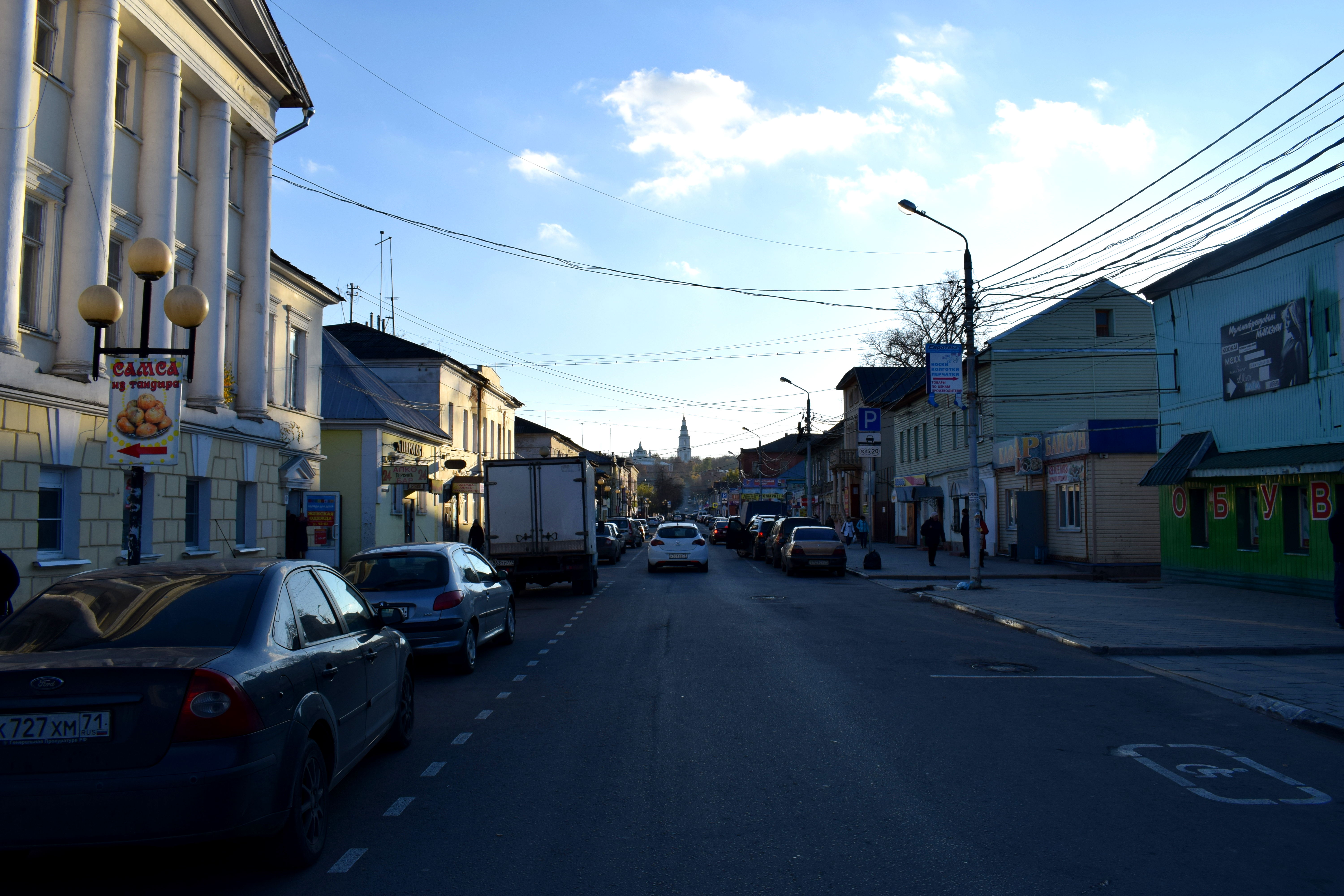
 One of Tula’s main streets downtown.
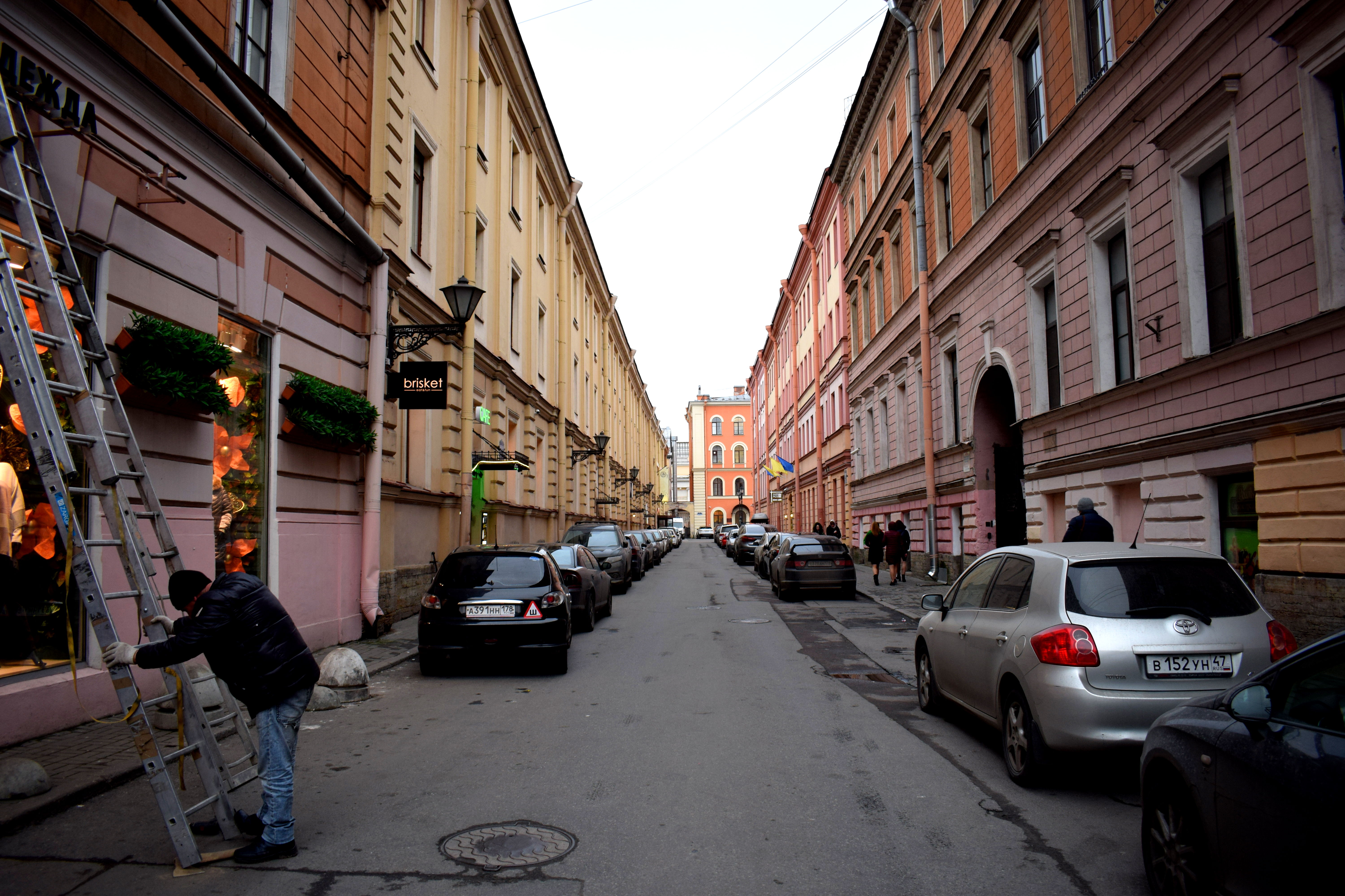
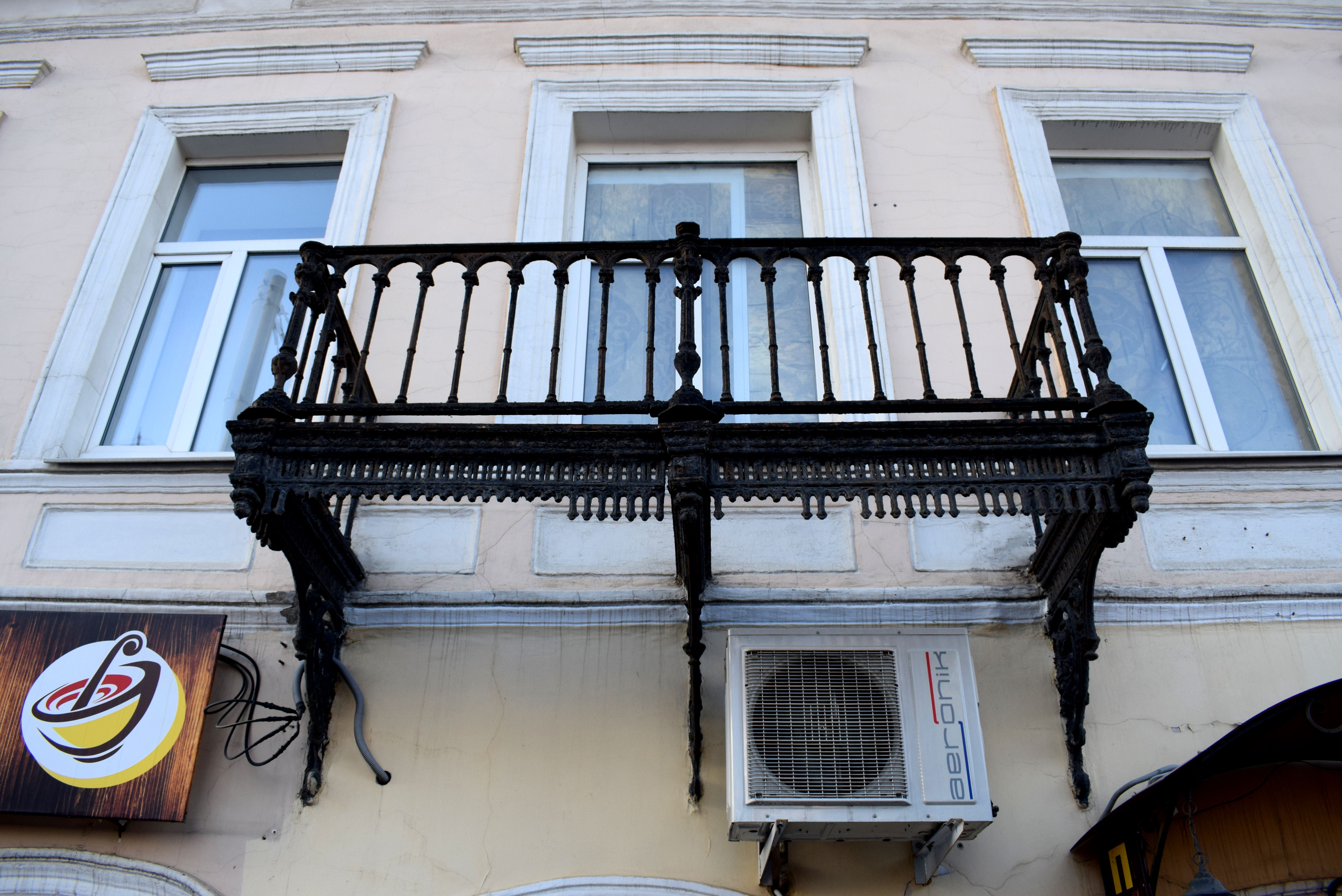 A half-finished balcony.
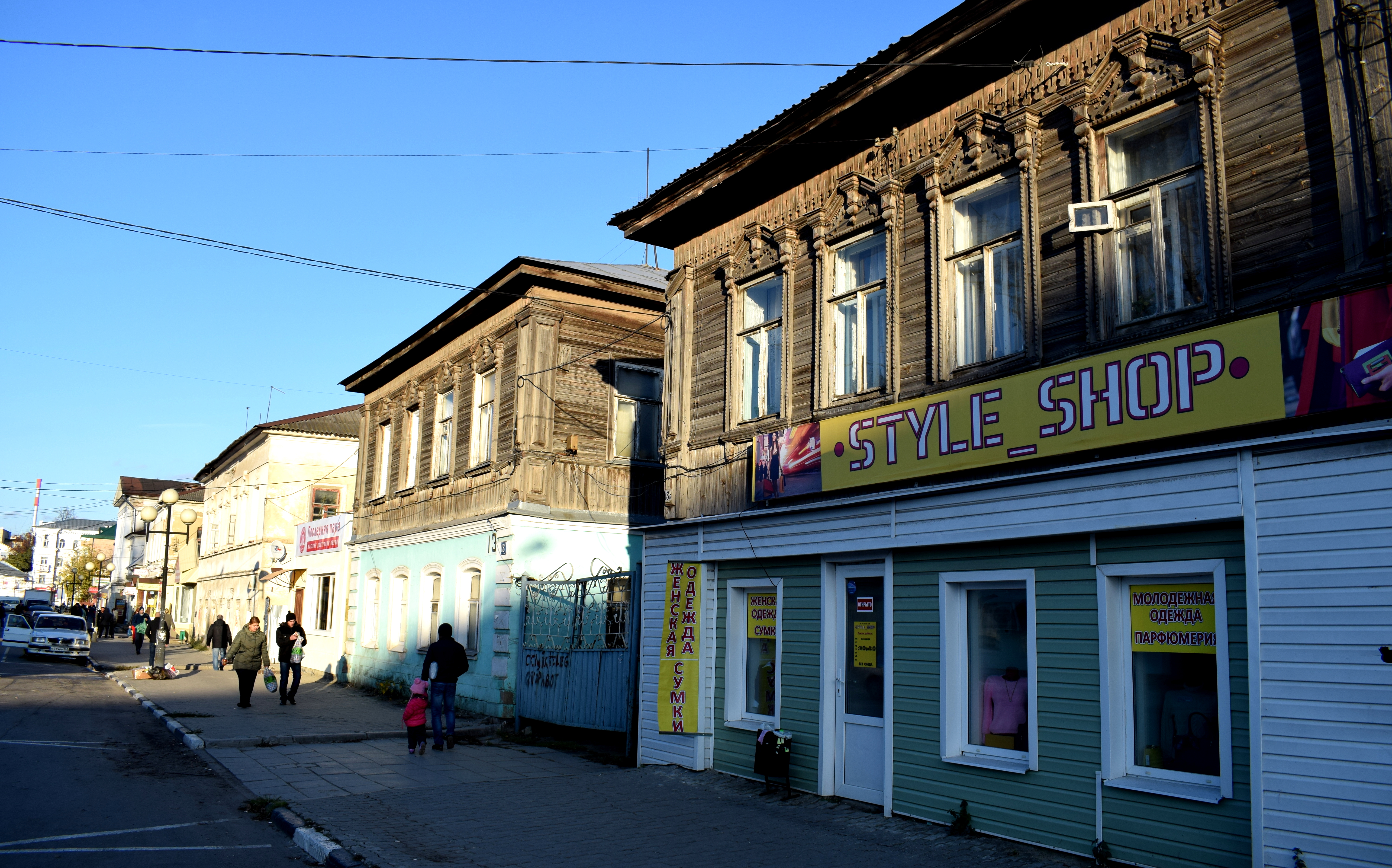
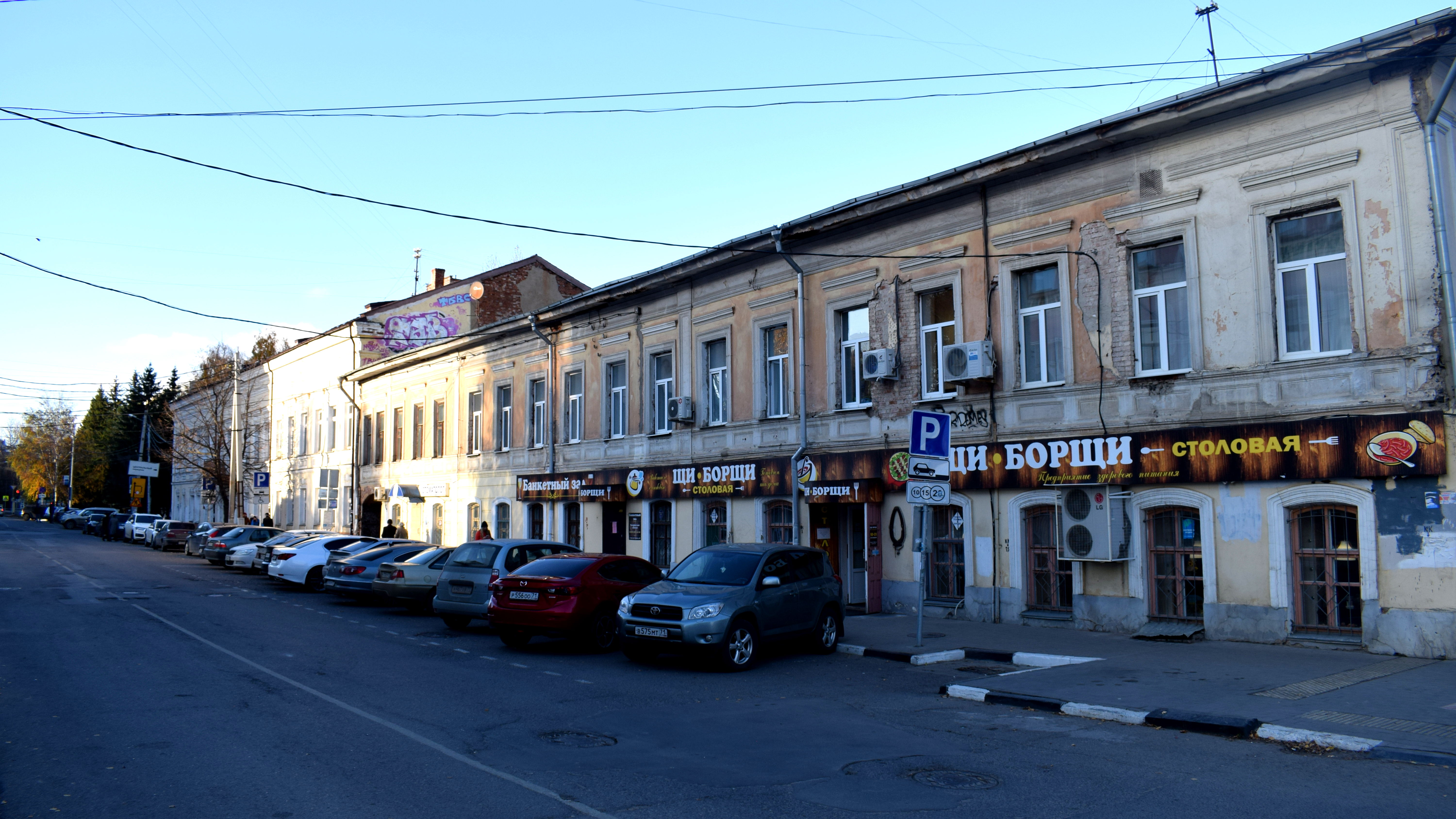 A smaller side street in Tula. If these buildings were renovated properly, they could form great places for small cafes, bookshops, coworking spaces and so forth.
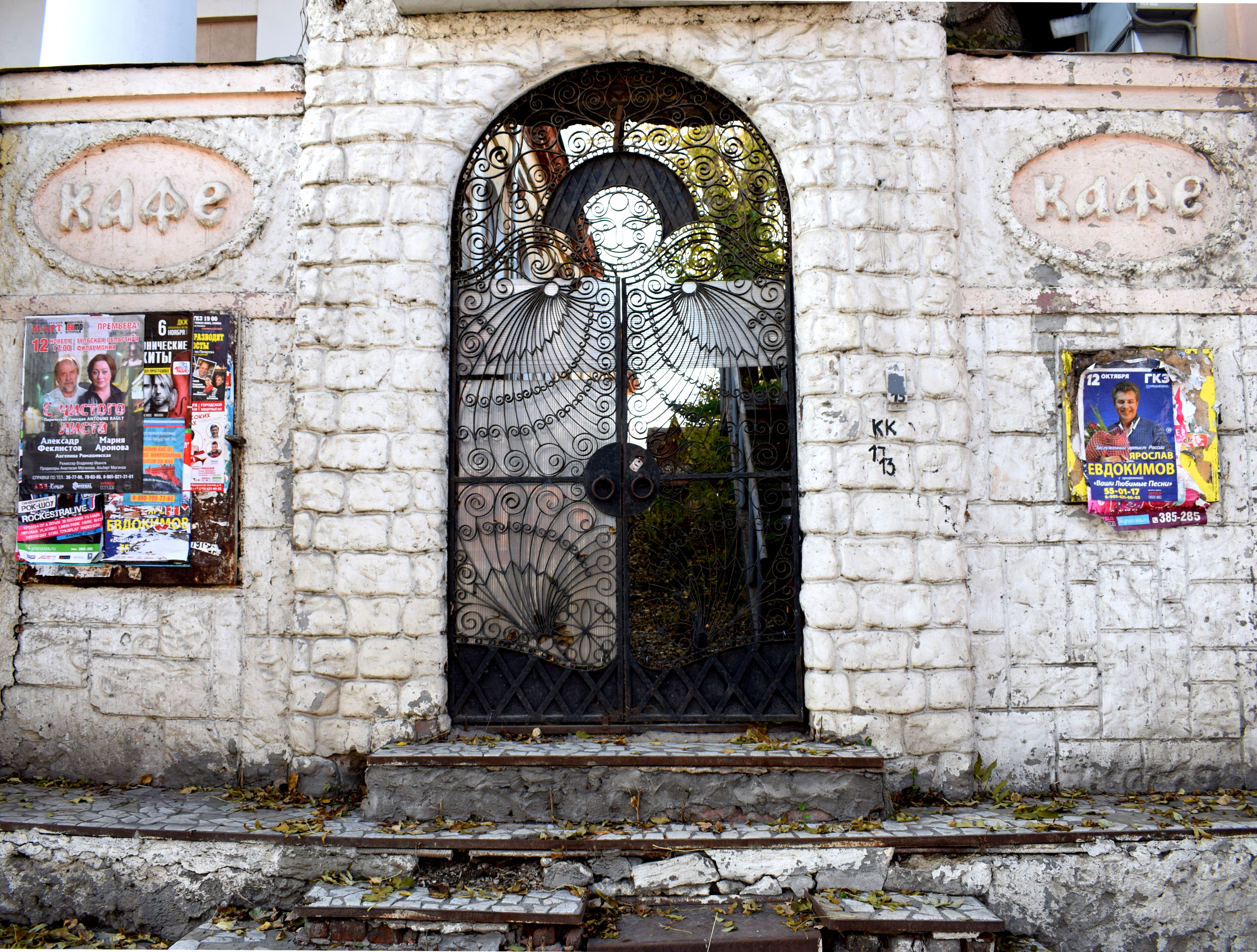 A lot of areas in the city had an abandoned feeling to them. The historic gates here used to open up to a cafe. It was empty and overgrown with trees now.
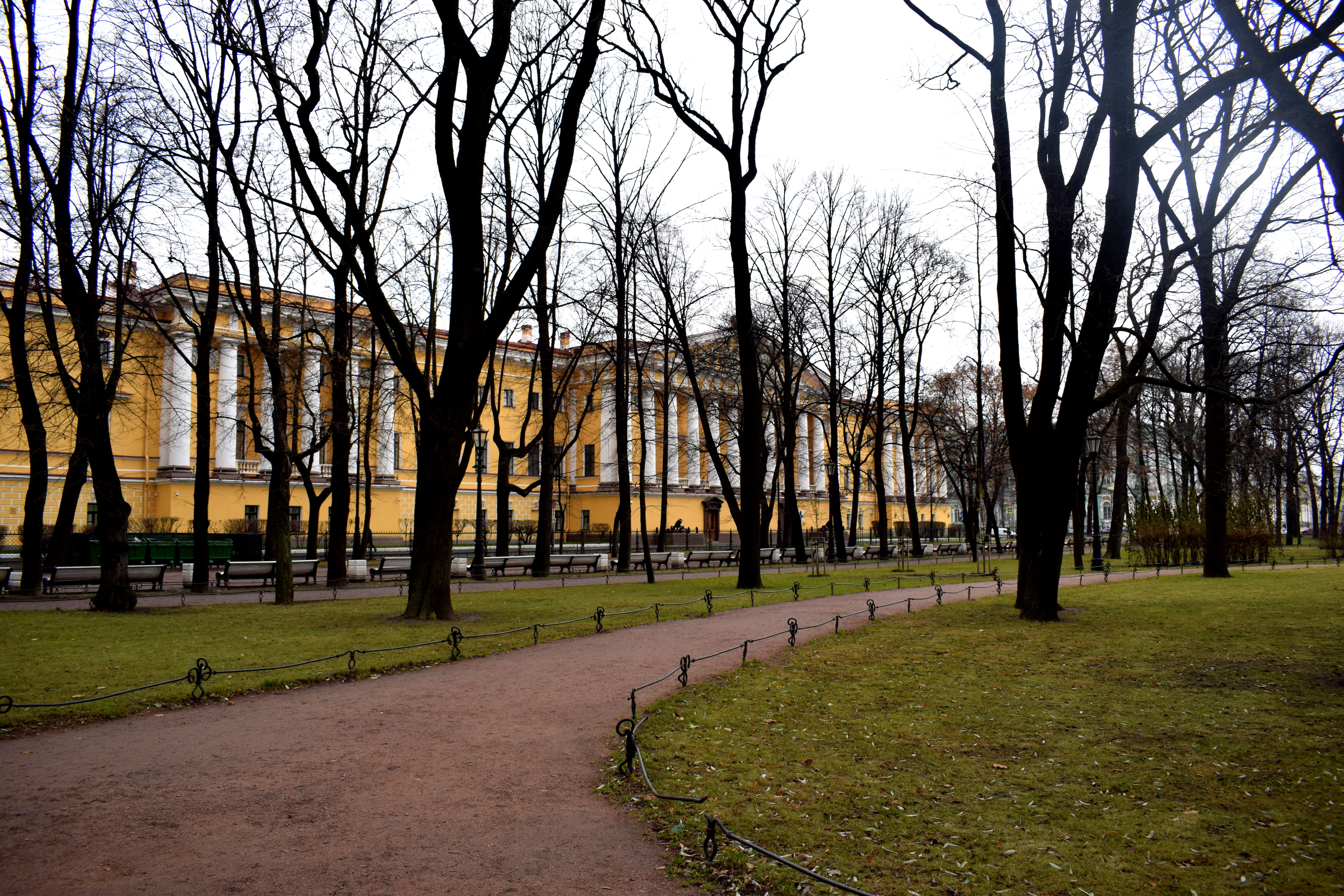
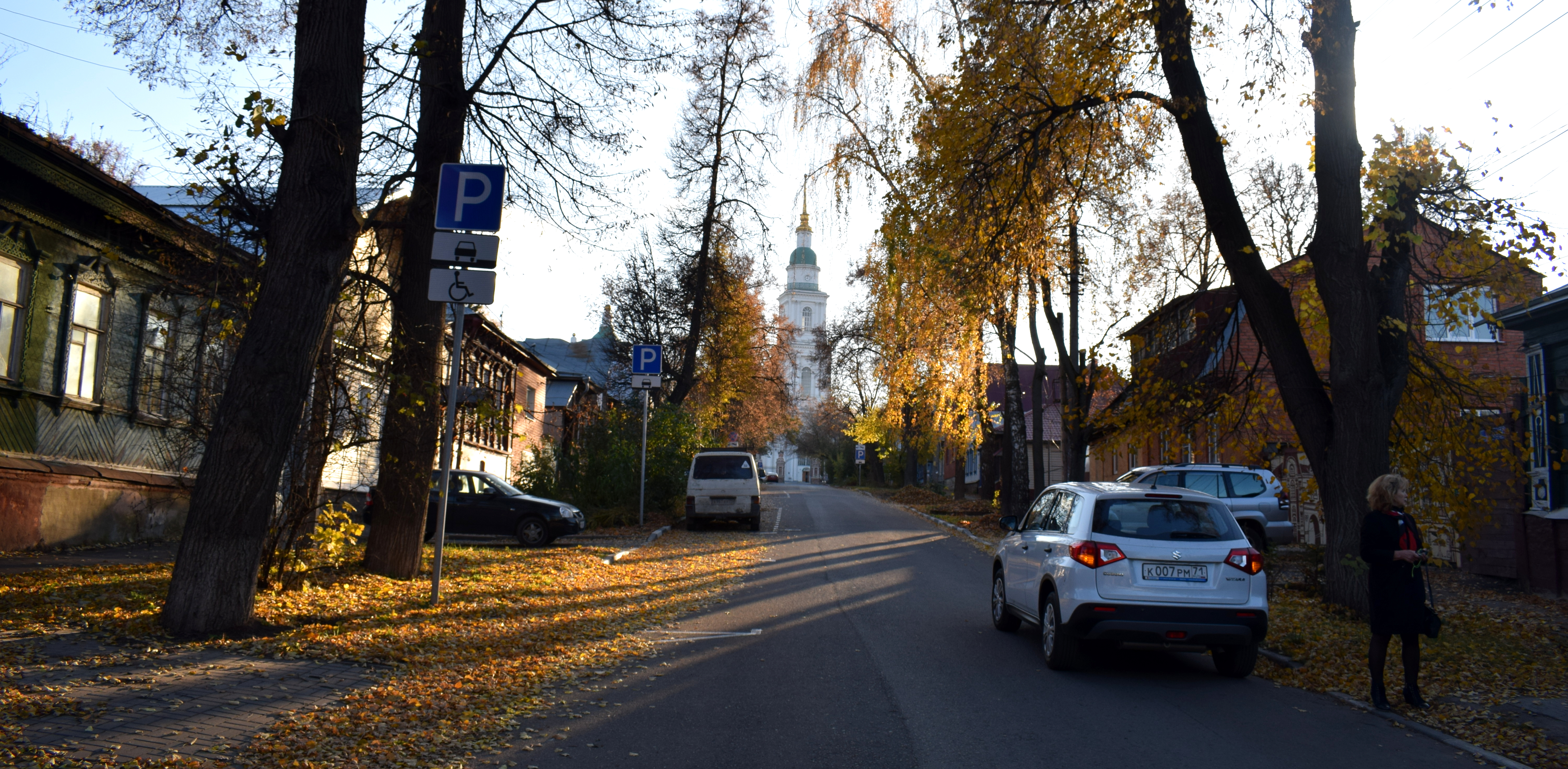
 A look down toward the center of Tula. The tall church in the background is where Tula’s Kremlin is located.
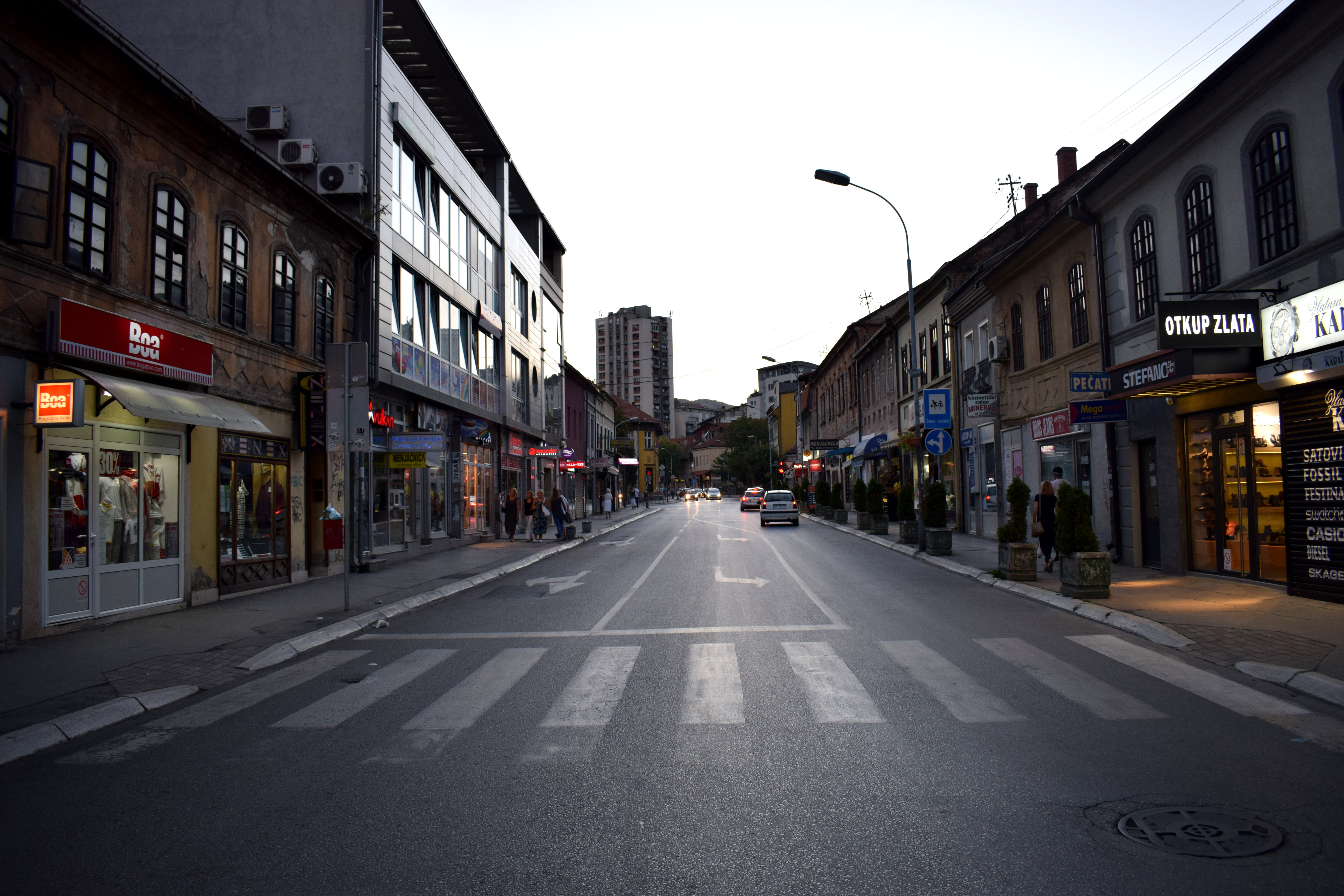
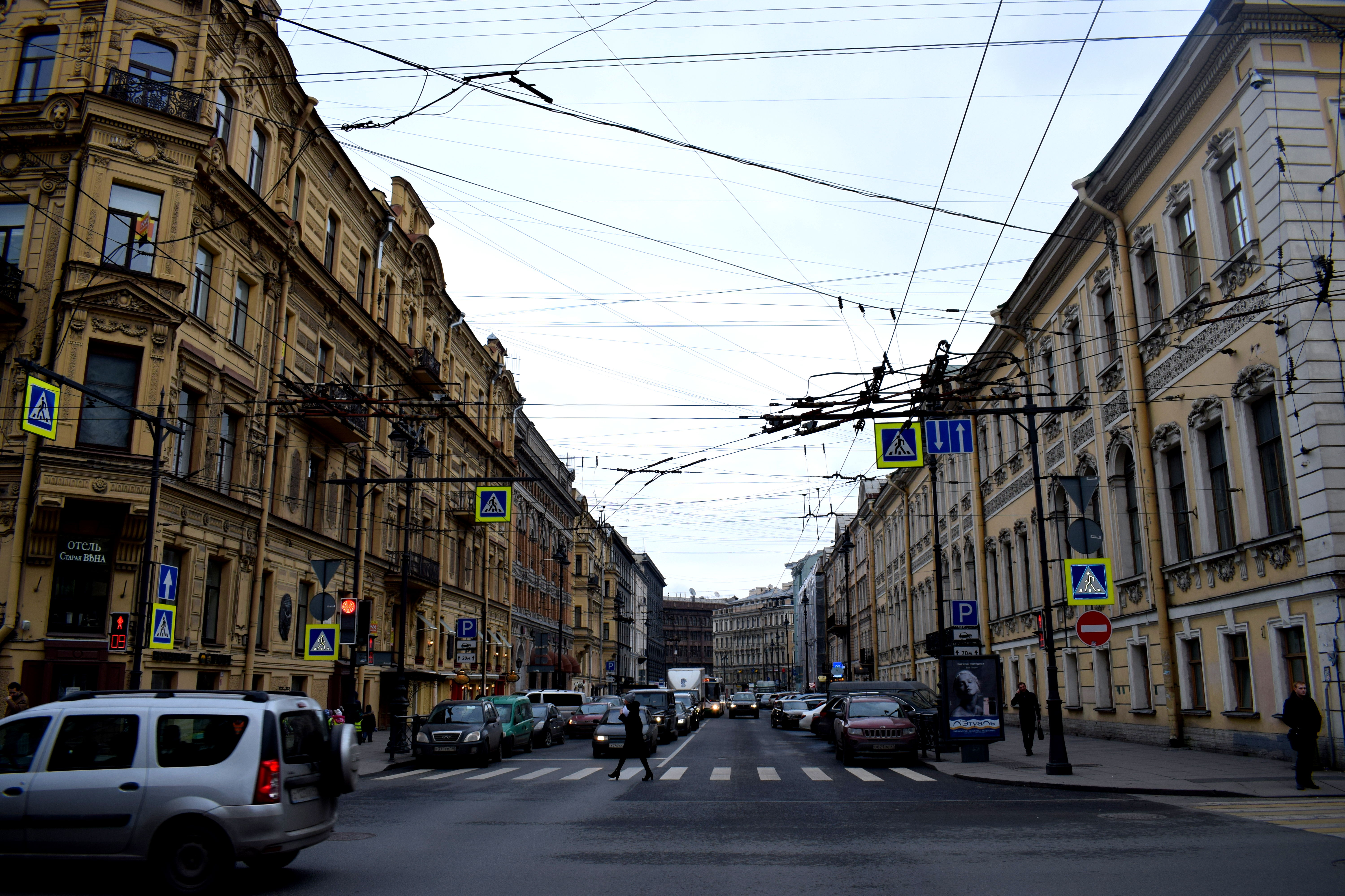
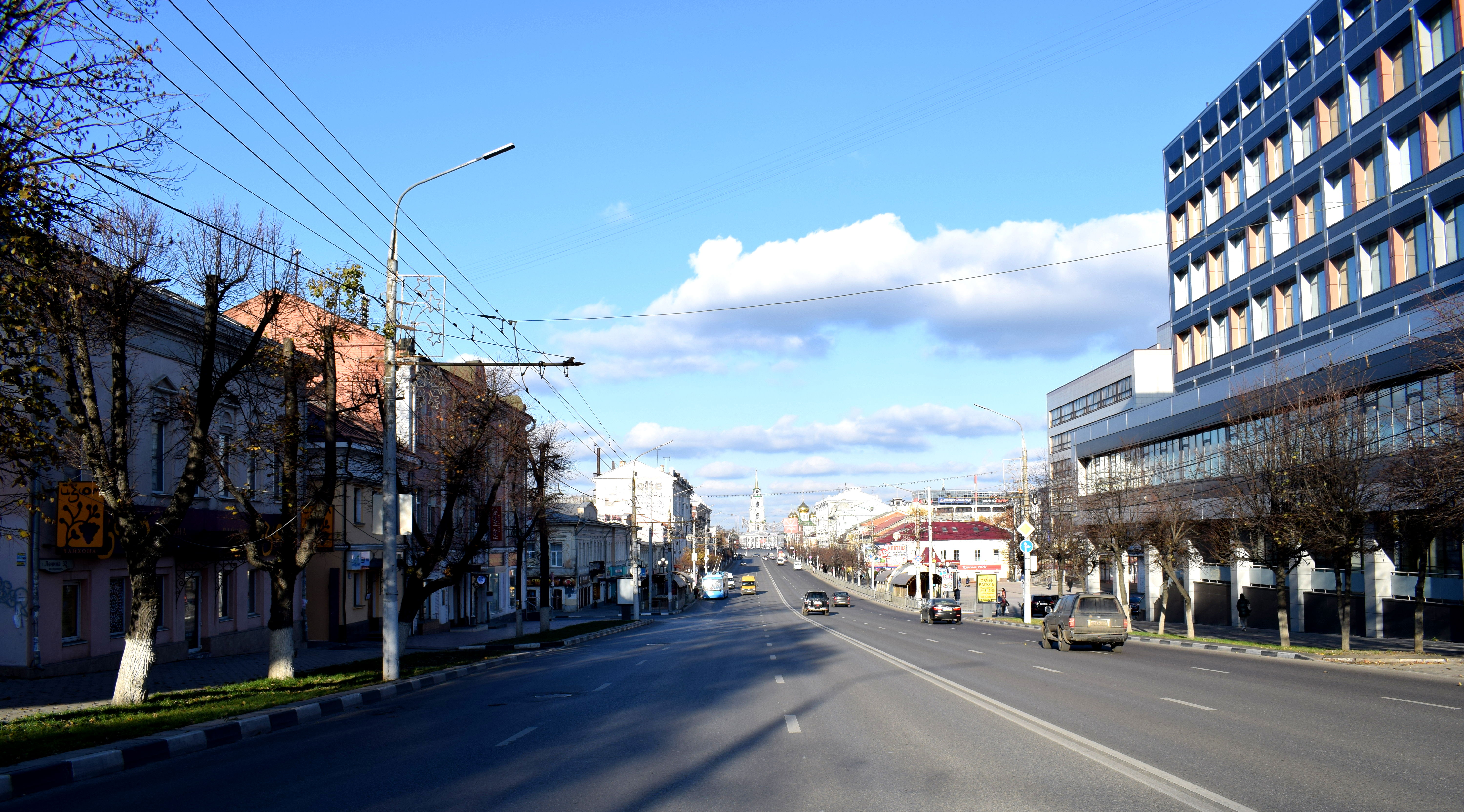
One problem in Tula were the wide streets that favored cars. Tula’s main street in the city that went through the center of the city had three lanes for cars going in each direction.
It was no wonder, therefore that cars drove very fast. In fact, I was quite surprised at just how loud Tula was for a city of only half a million people. It felt like on every street there was the constant noise of cars rushing by.
What should Tula do instead? Streets like these should be reduced in size and preference given to pedestrians and cyclists. Two lanes in the middle should go toward a tram line, the other two narrowed in size to make way for a bike lane going in both directions.
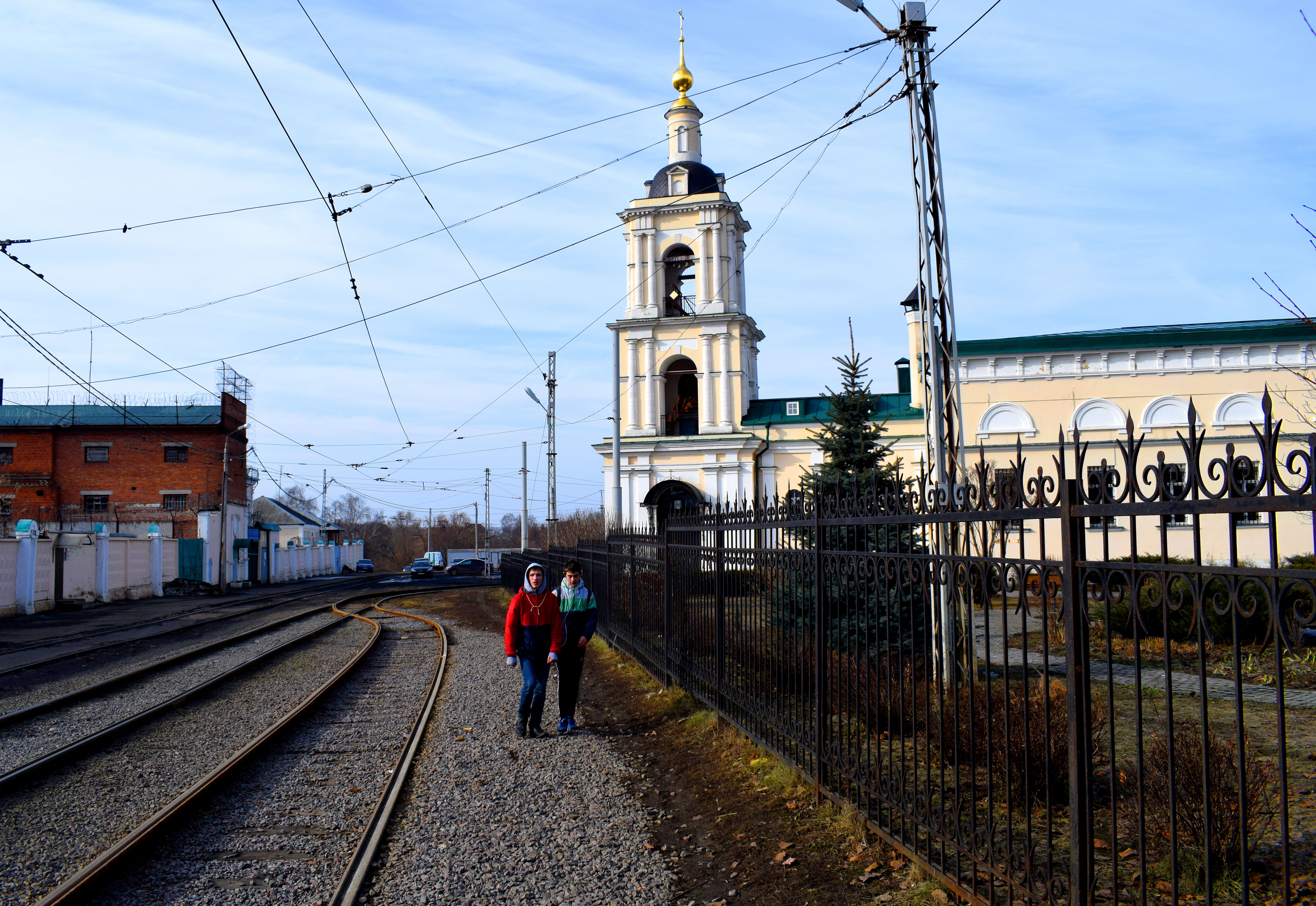
Tula in fact, had tram lines operating on its main streets up until WWII, before the government decided to get rid of them.
Giving the streets back to the people would make the city a more comfortable place to live.
 Another beautiful building from the 19th century. It was early October and many trees had already lost most of their leaves.
 I love Tula.
 What a beauty.
 These kind of buildings are a testament to Tula’s European past.
 No different from any others you can find in Europe. At the top of the building it says: “I obey the law, I obey the people.”
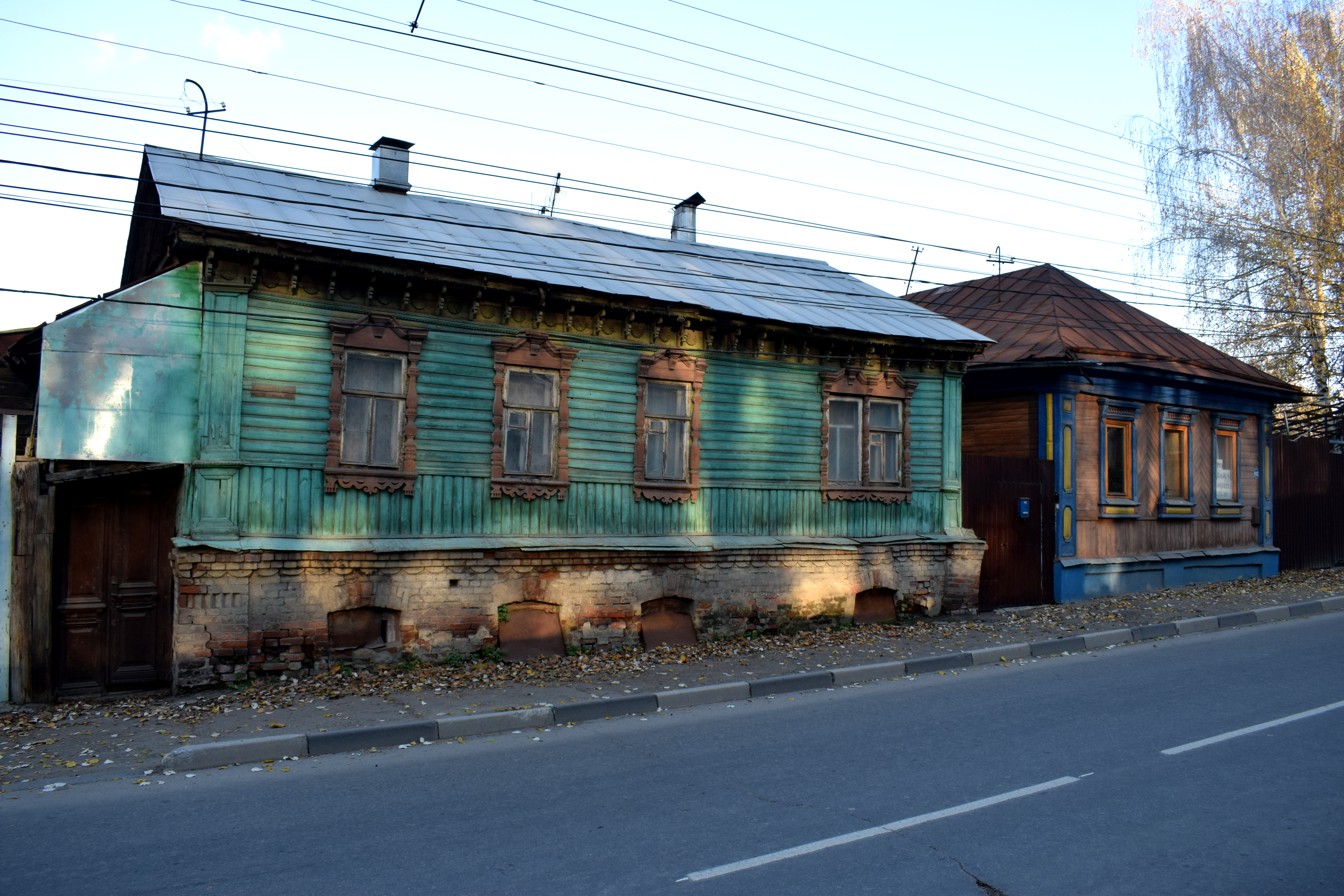
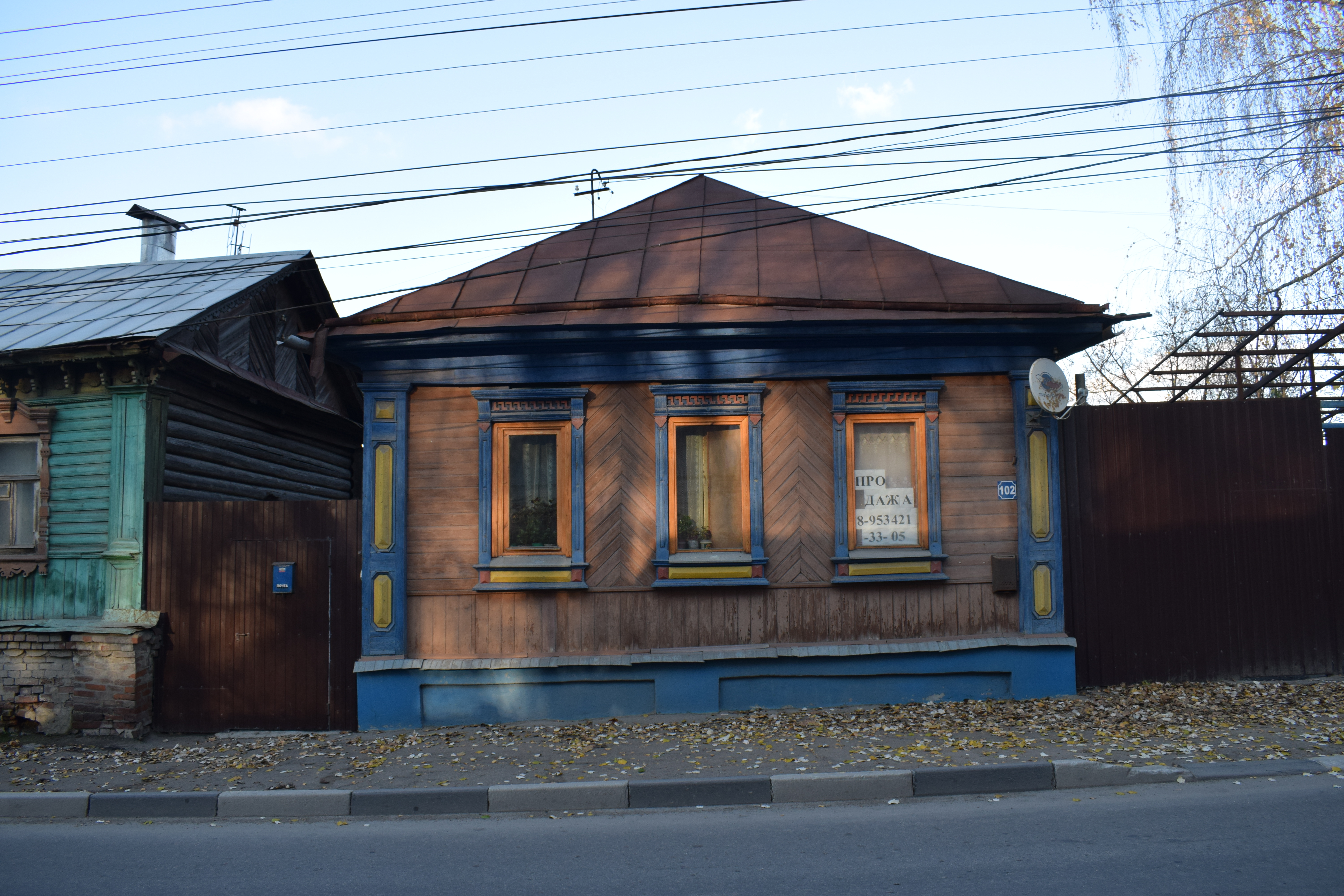
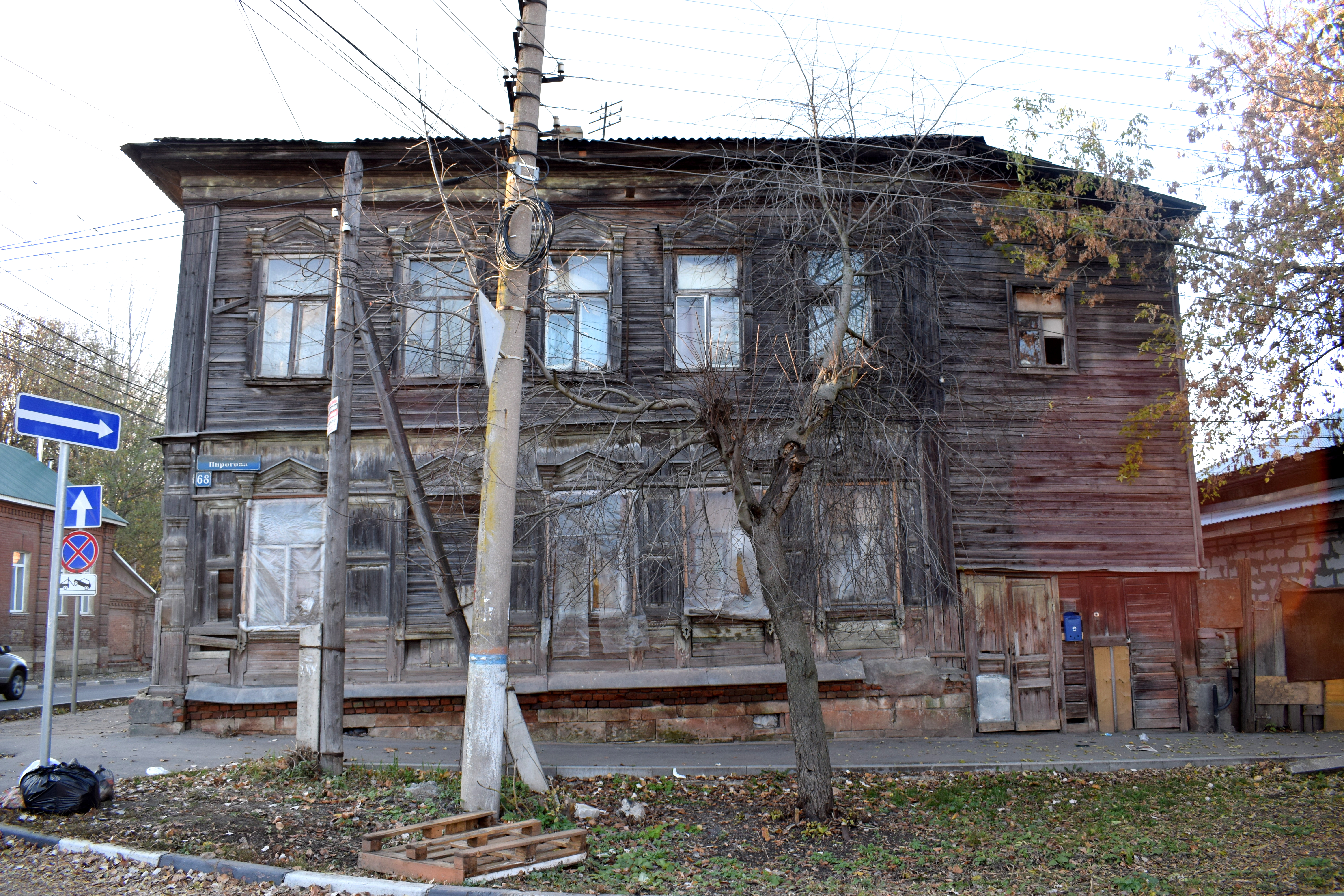
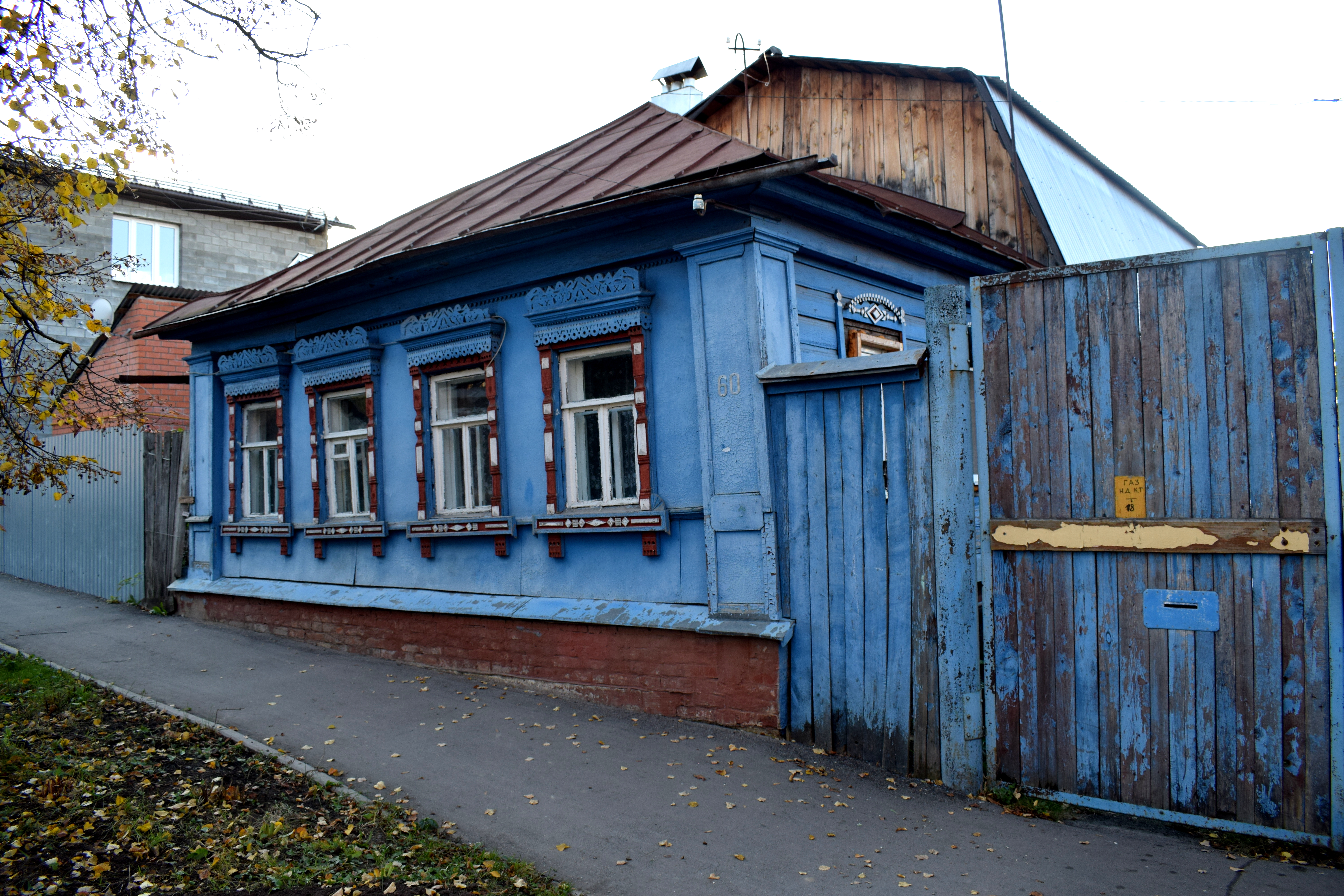
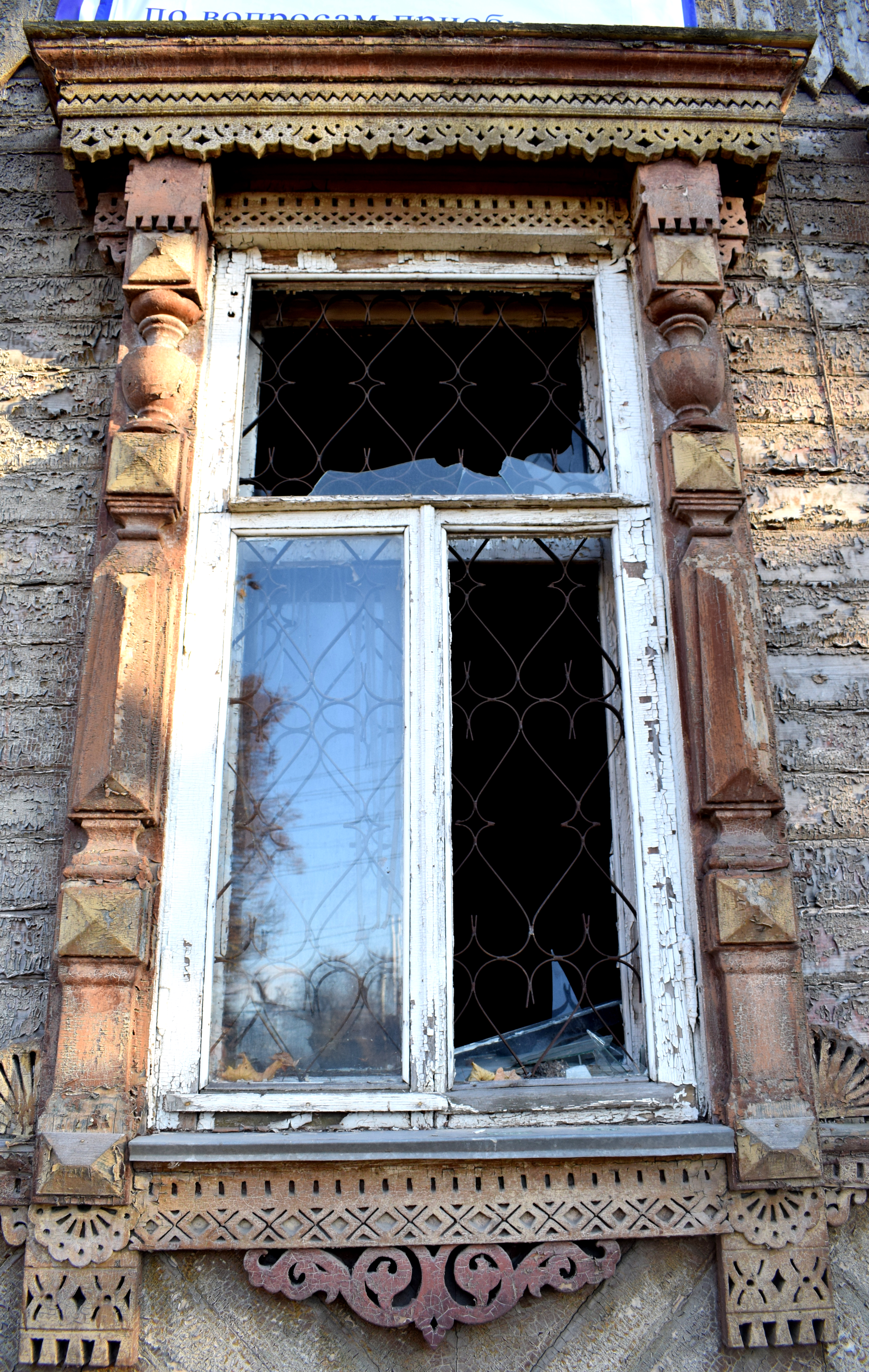
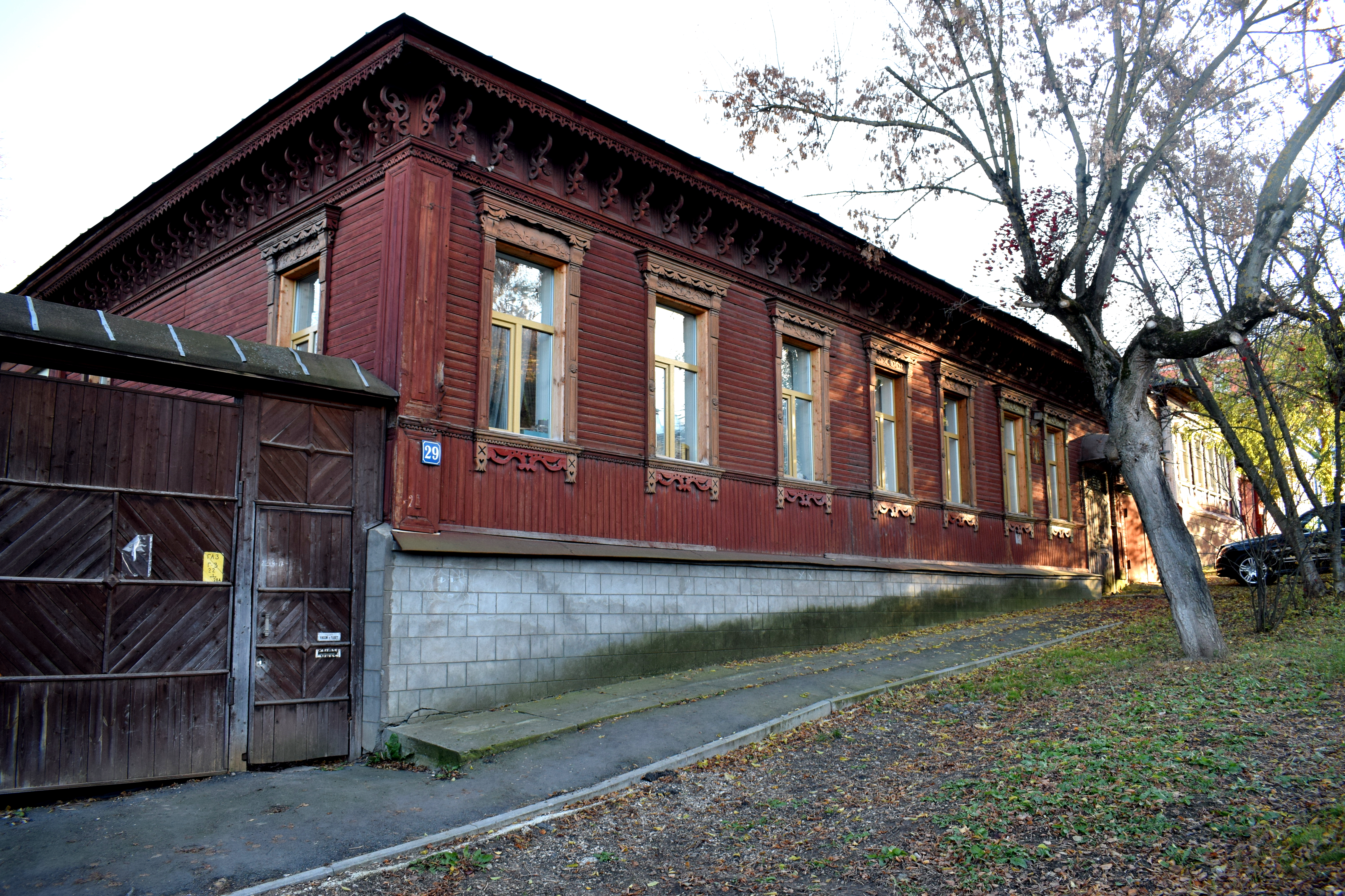
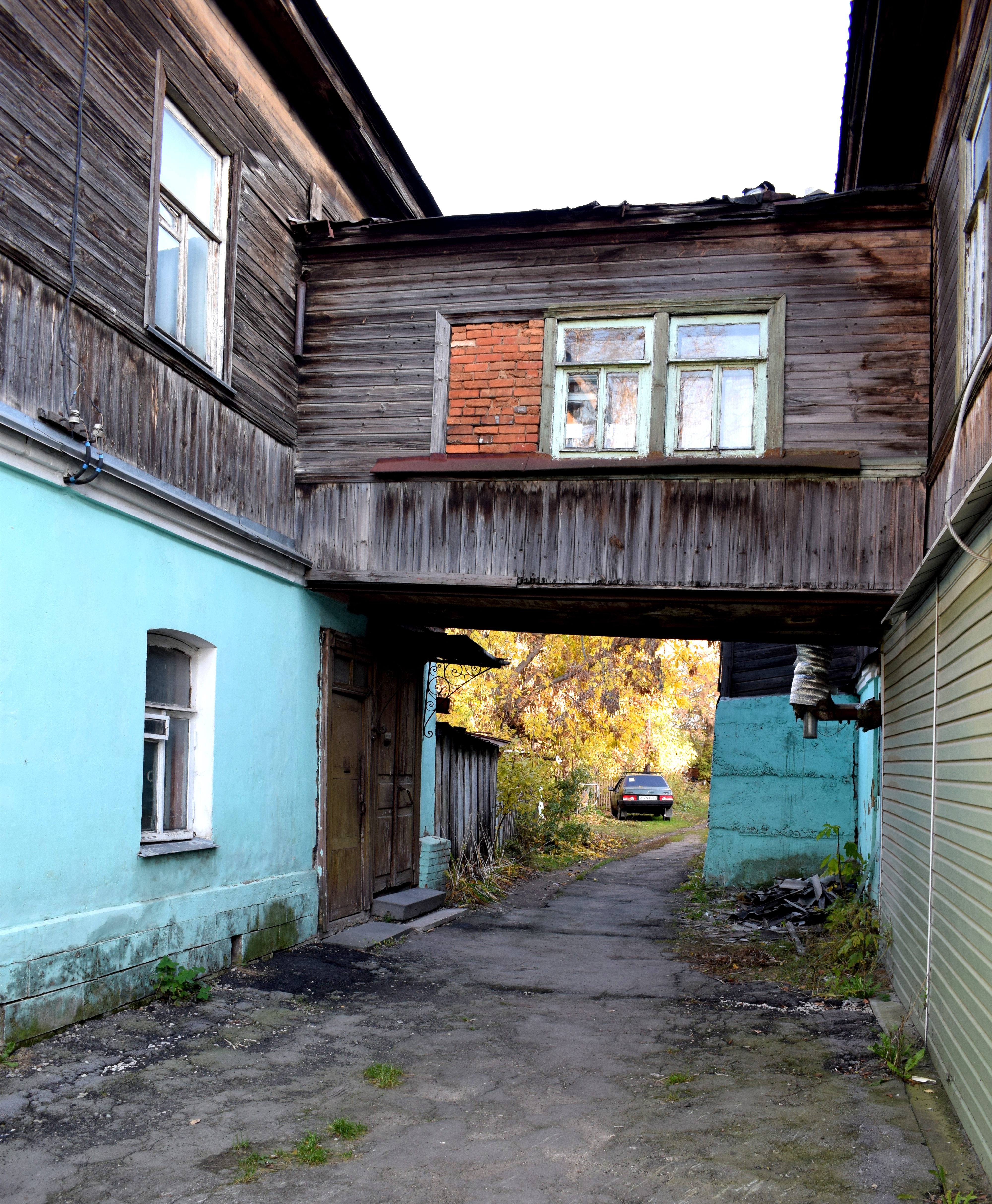
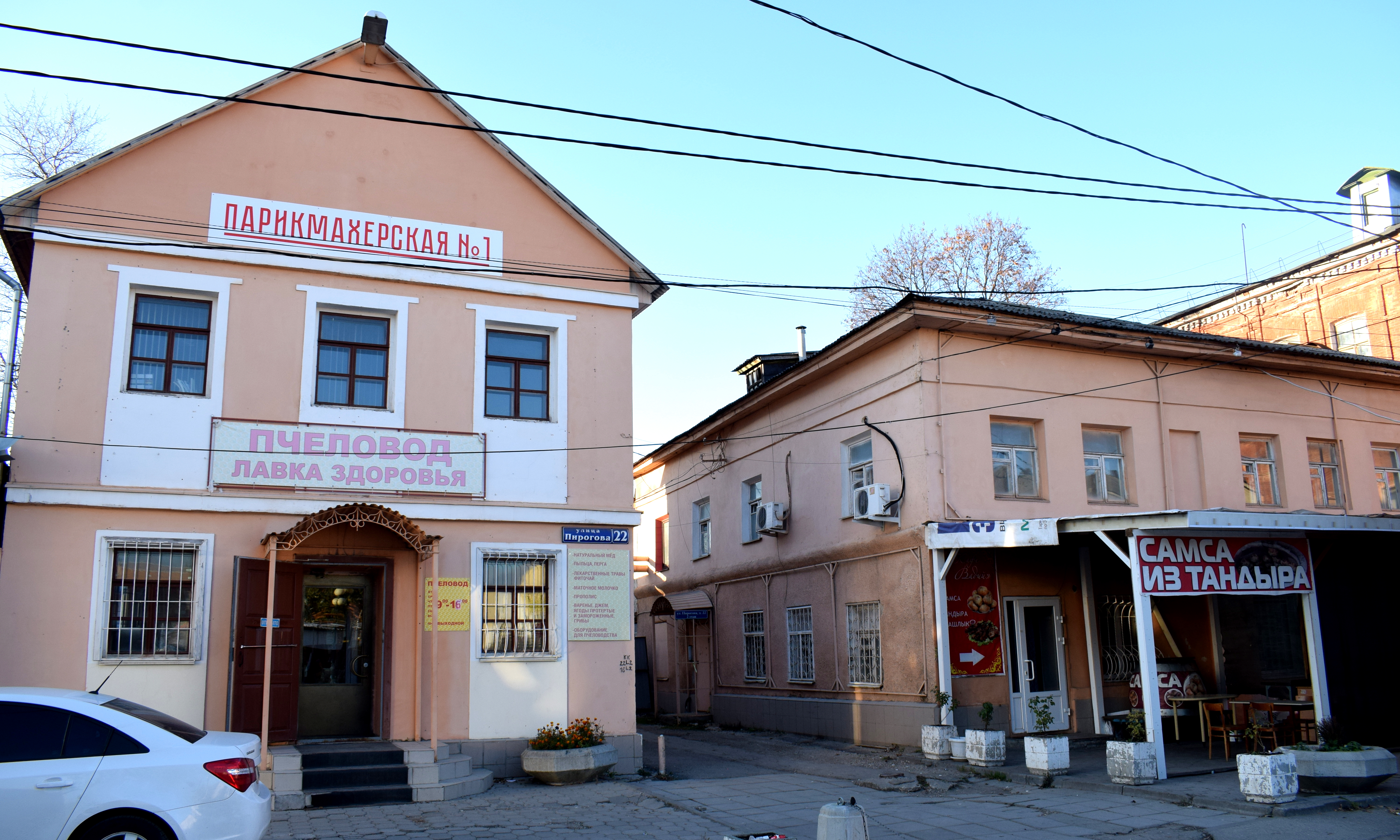
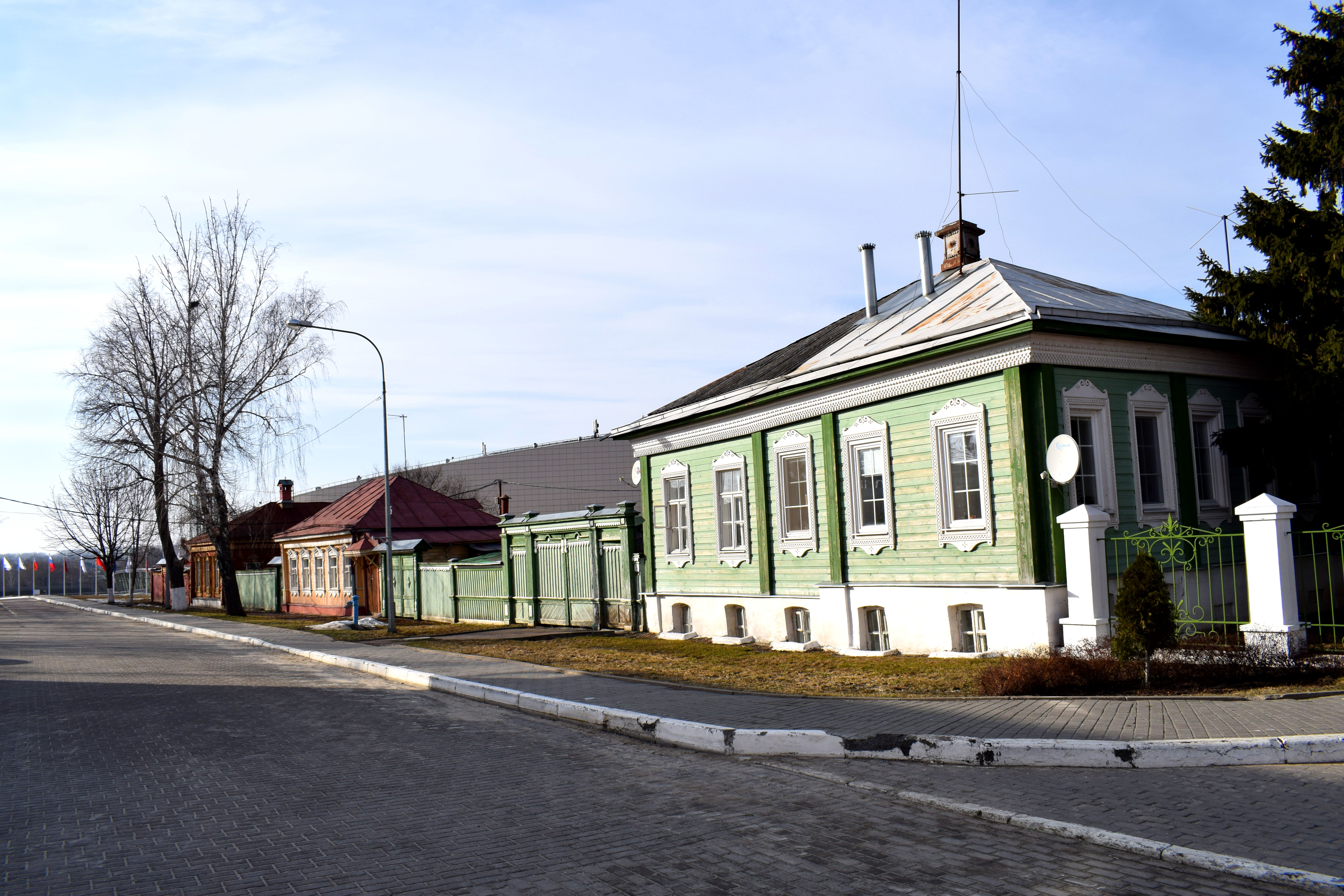
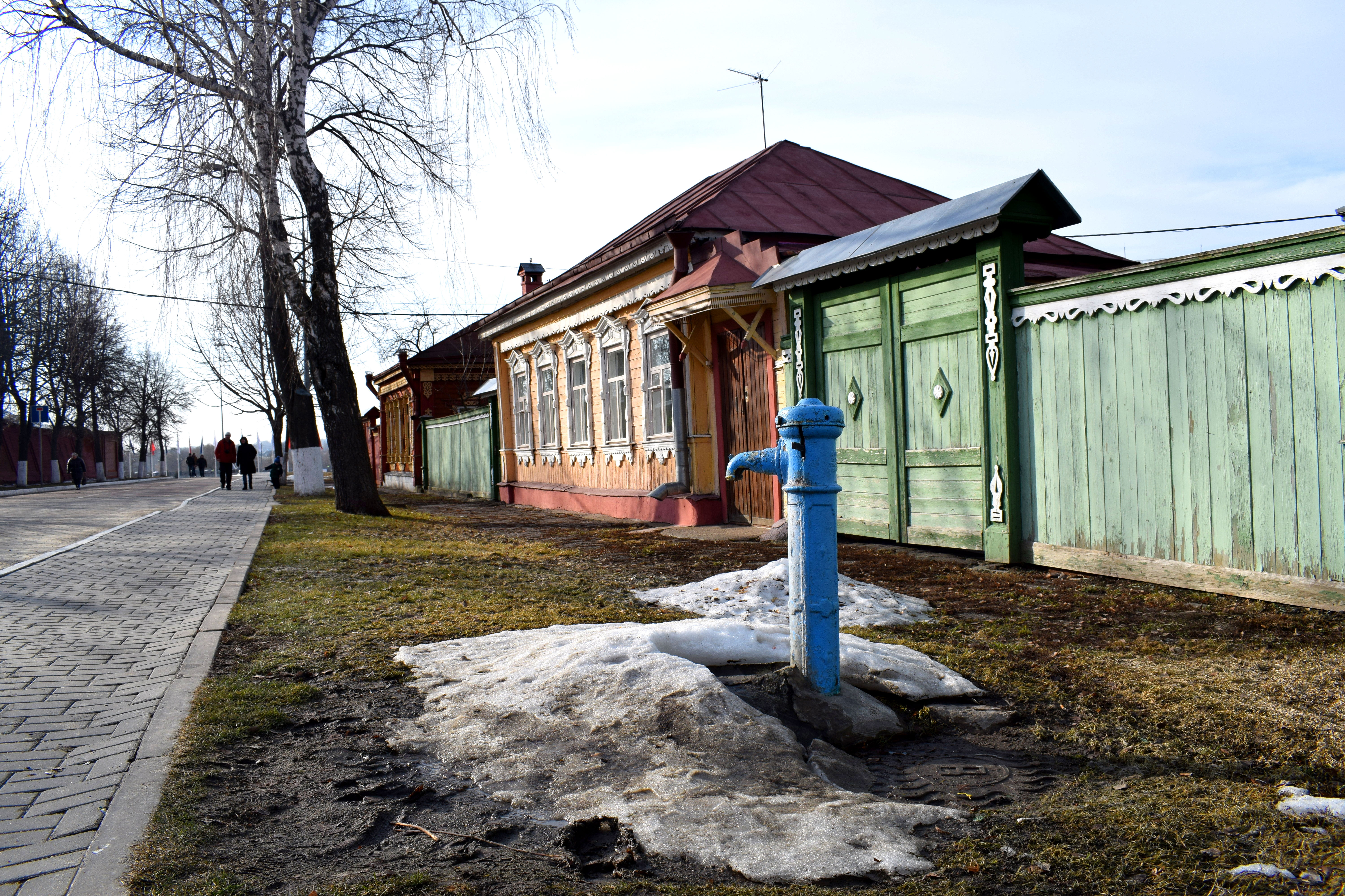
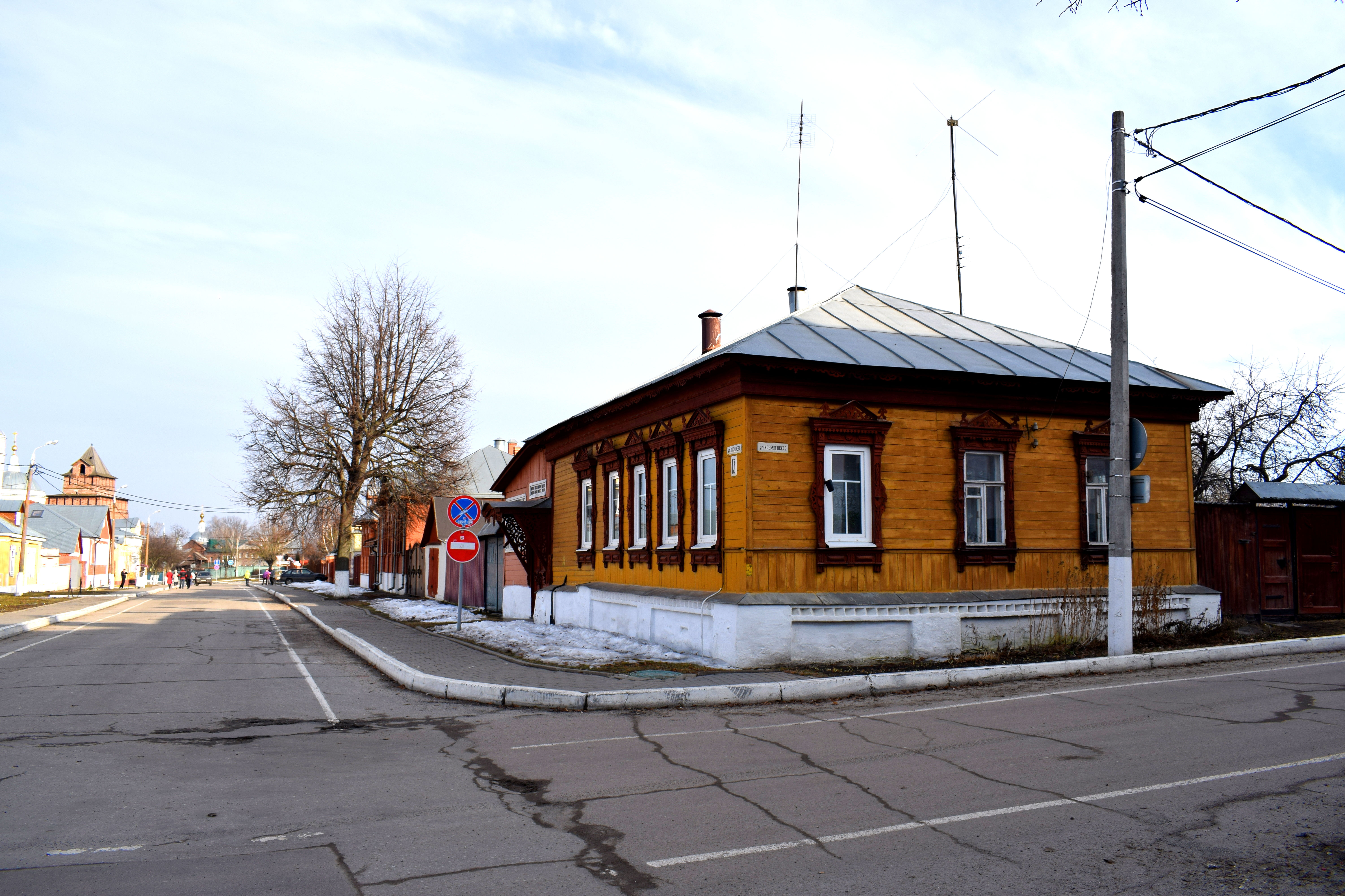
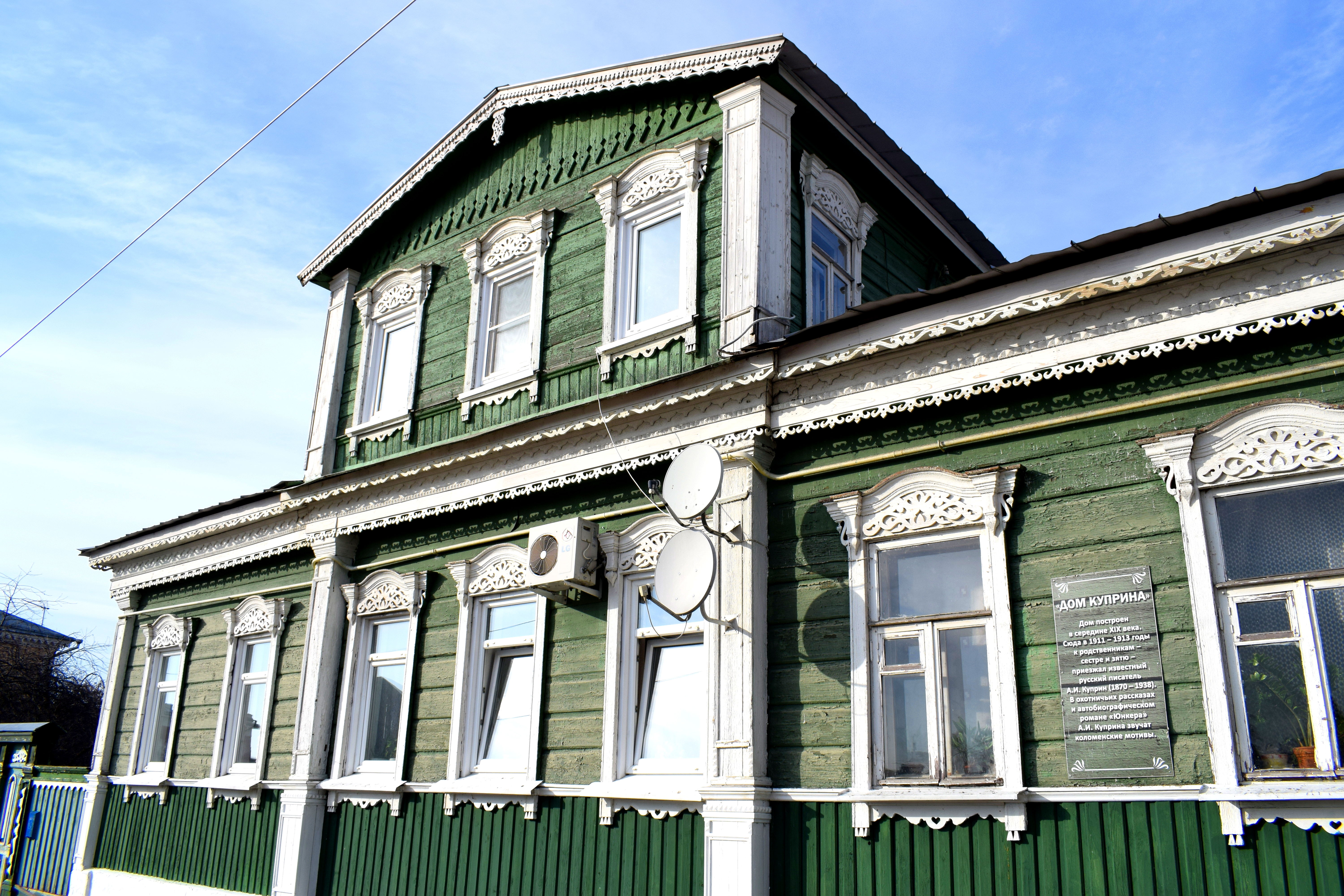
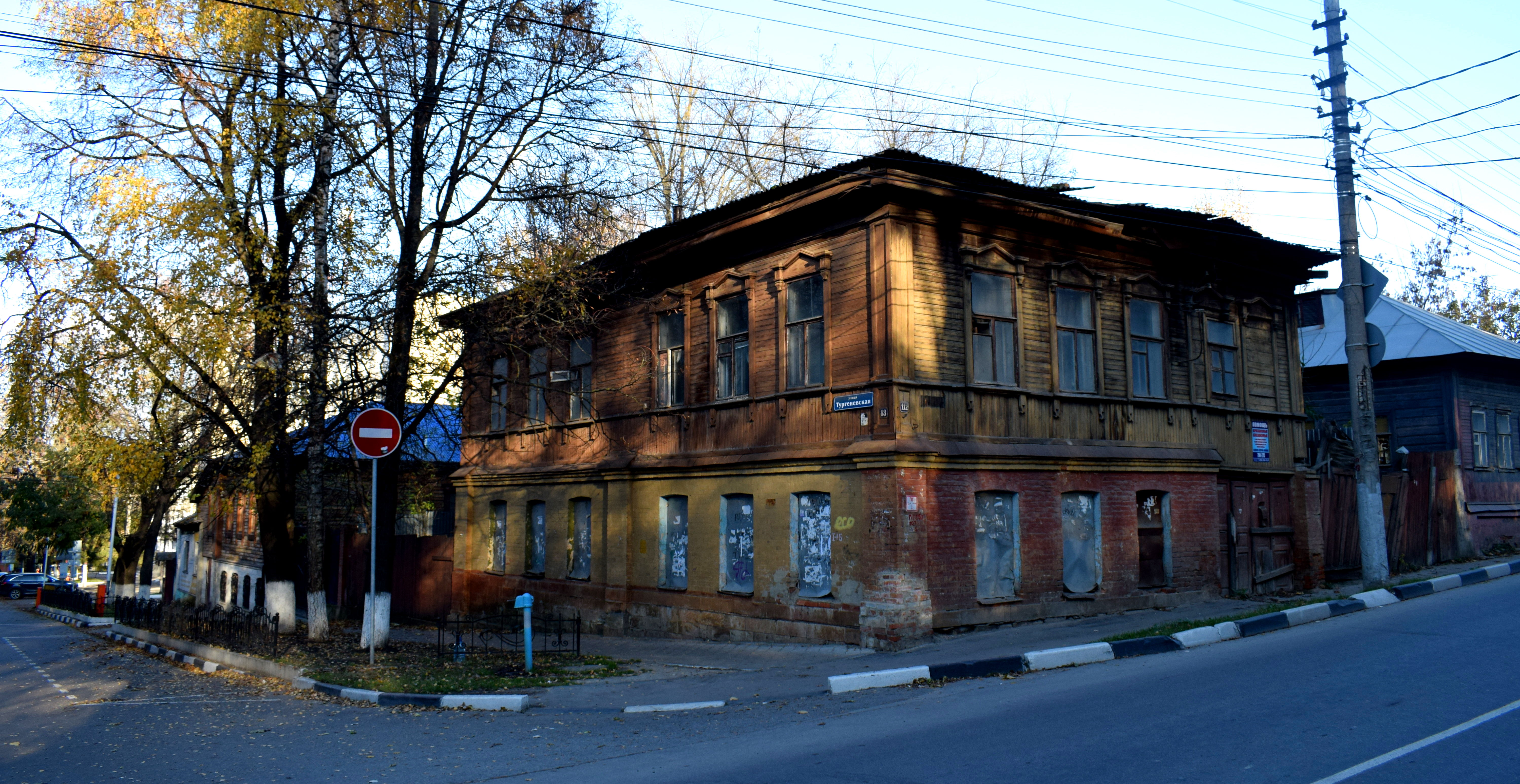 However, there is one form of architecture completely unique to Russia that you won’t find in Europe. And those are traditional Russian wooden buildings from the 19th and early 20th centuries.
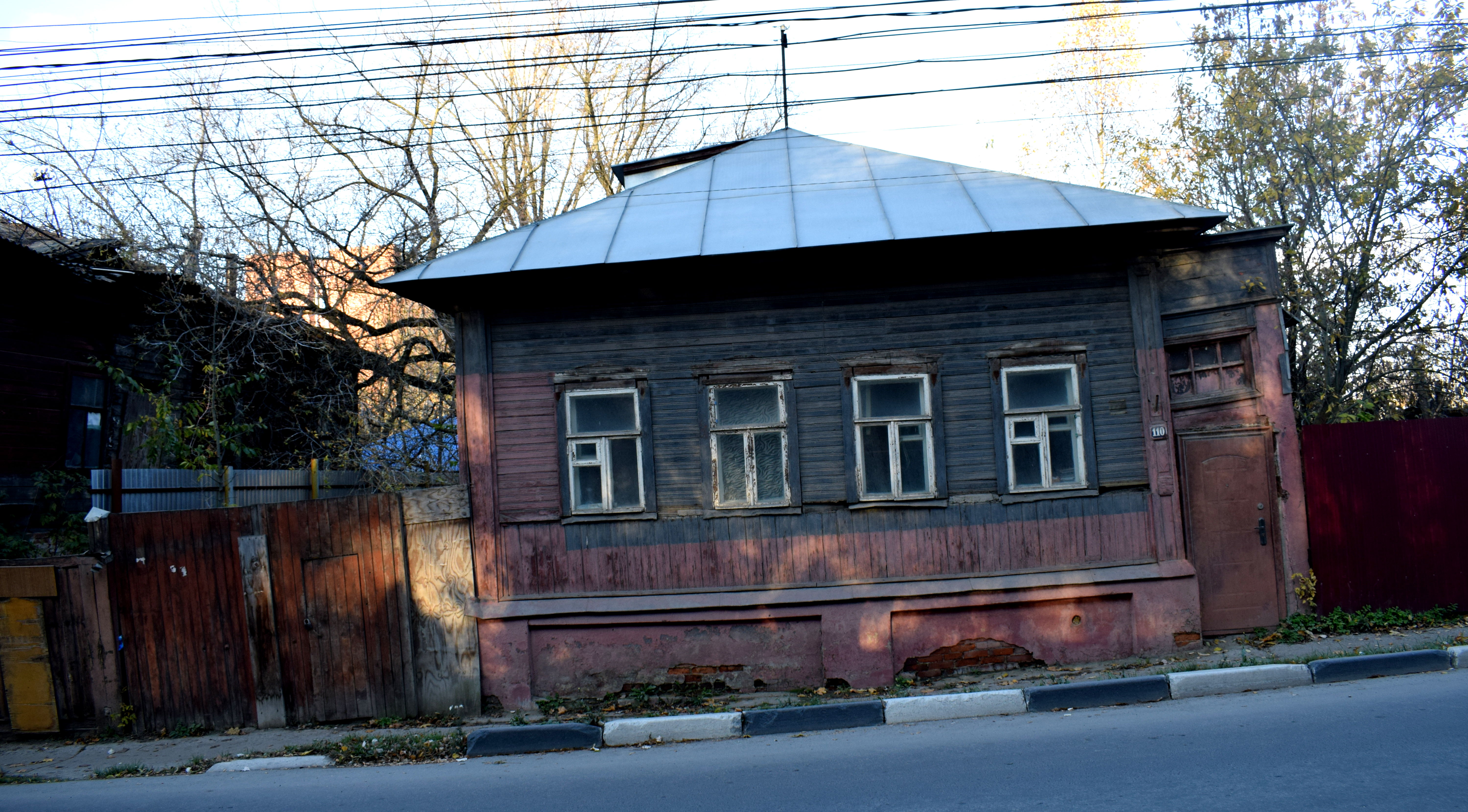 When I first came to Russia, these kind of wooden buildings completely surprised me. I had never seen anything like them in any countries I had visited before in my life. I loved them.
 They were completely unique to Russia. We don’t have these kind of buildings in Serbia or in the Balkans. I’ve never seen them in other countries in Eastern Europe I’ve been to, like Hungary or Slovakia.
 The majority of Russians actually lived precisely in these kinds of wooden homes before the revolution in 1917. Many people continue to live in them to this today.
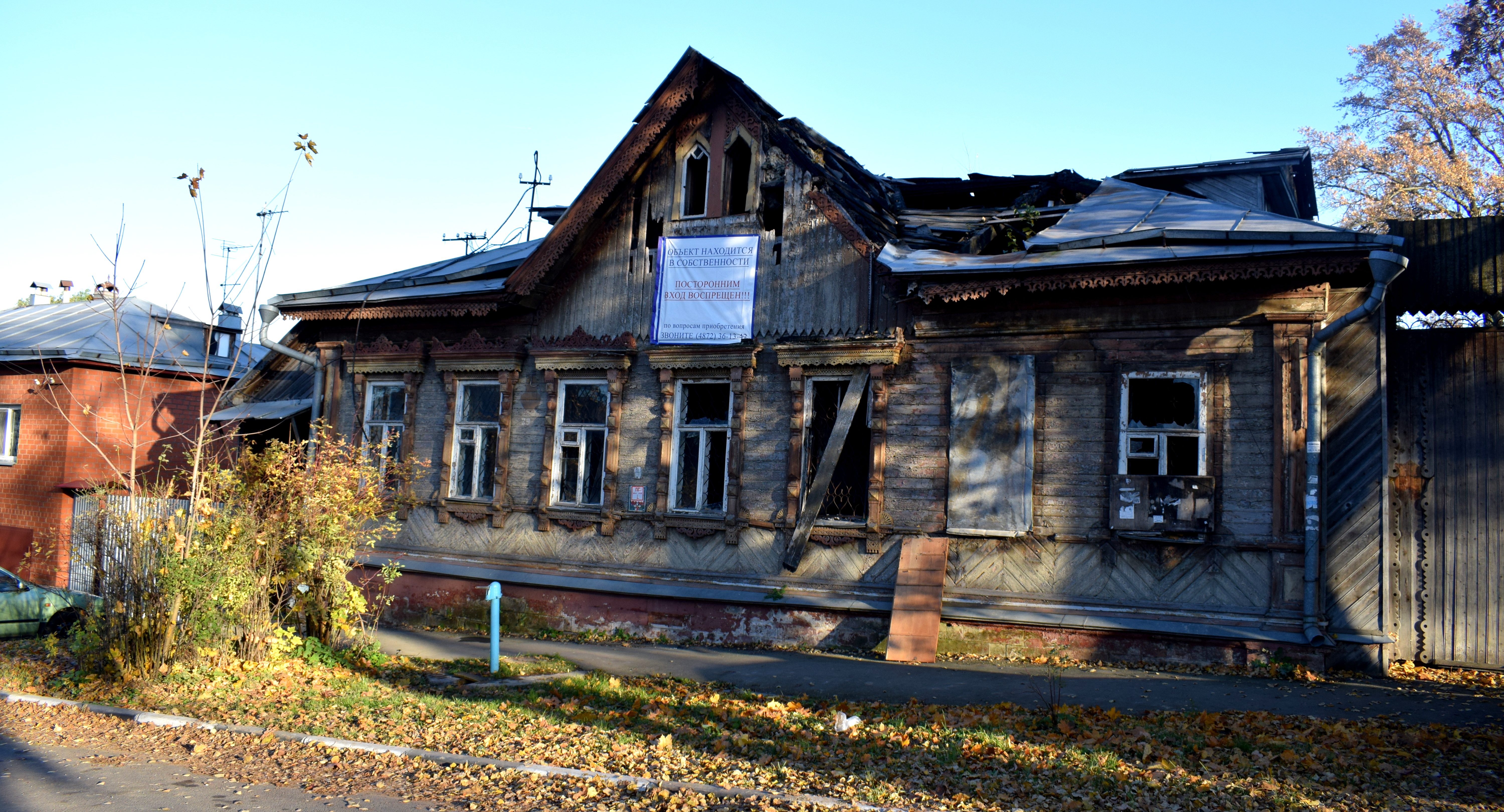
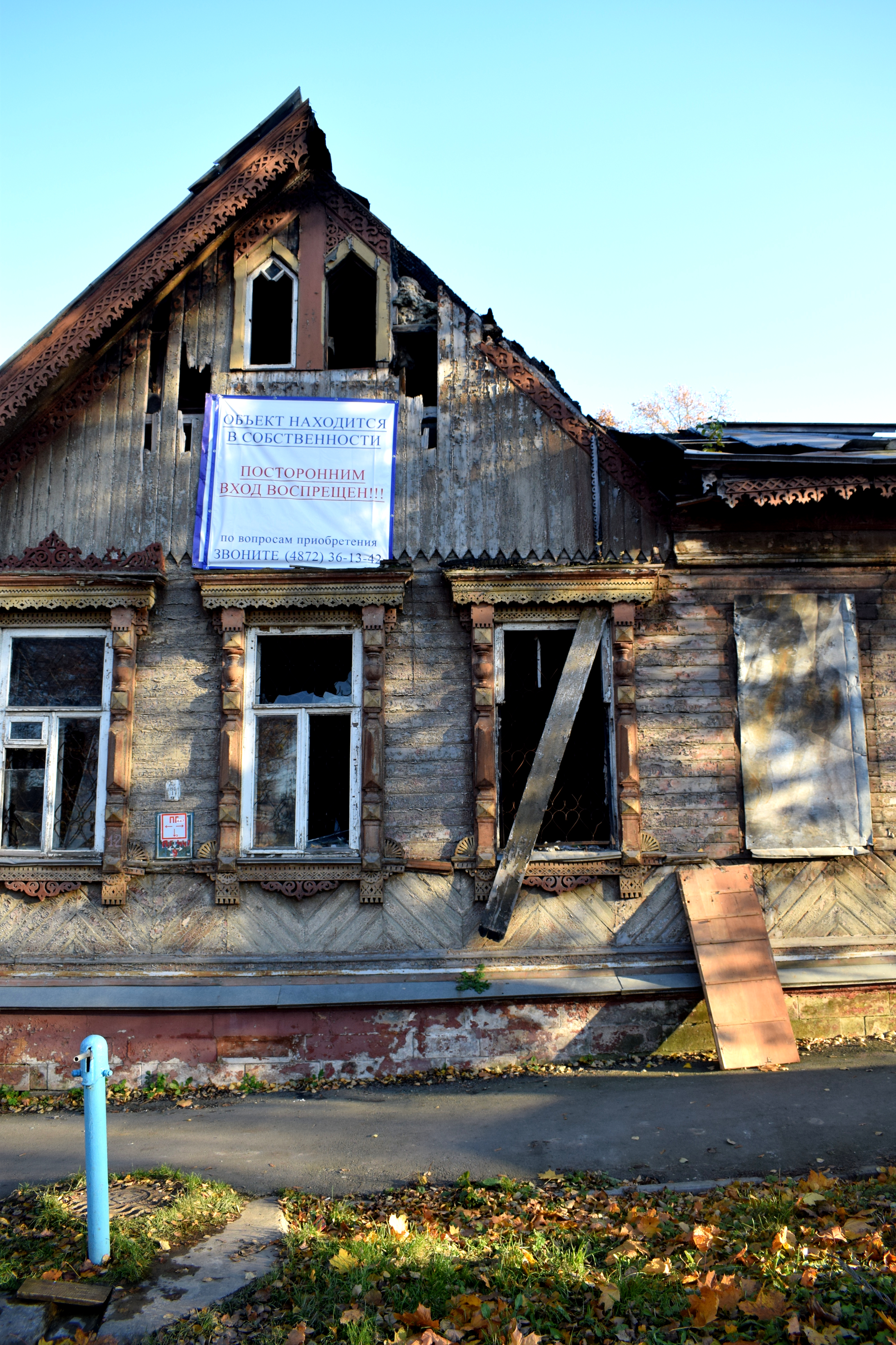
 Unfortunately this kind of architecture is disappearing at alarming rates all cross Russia. The homes fall into disrepair because young people move away from cities. Developers offer to buy the homes from poor residents. Instead of reconstructing them, they tear them down and build modern apartments.
 It doesn’t help that cities rarely afford these kind of homes historical status. More often than not, they sit abandoned in cities as eyesores until they collapse.
 Other times they are put up for sale my view, Russia should take all possible measures to
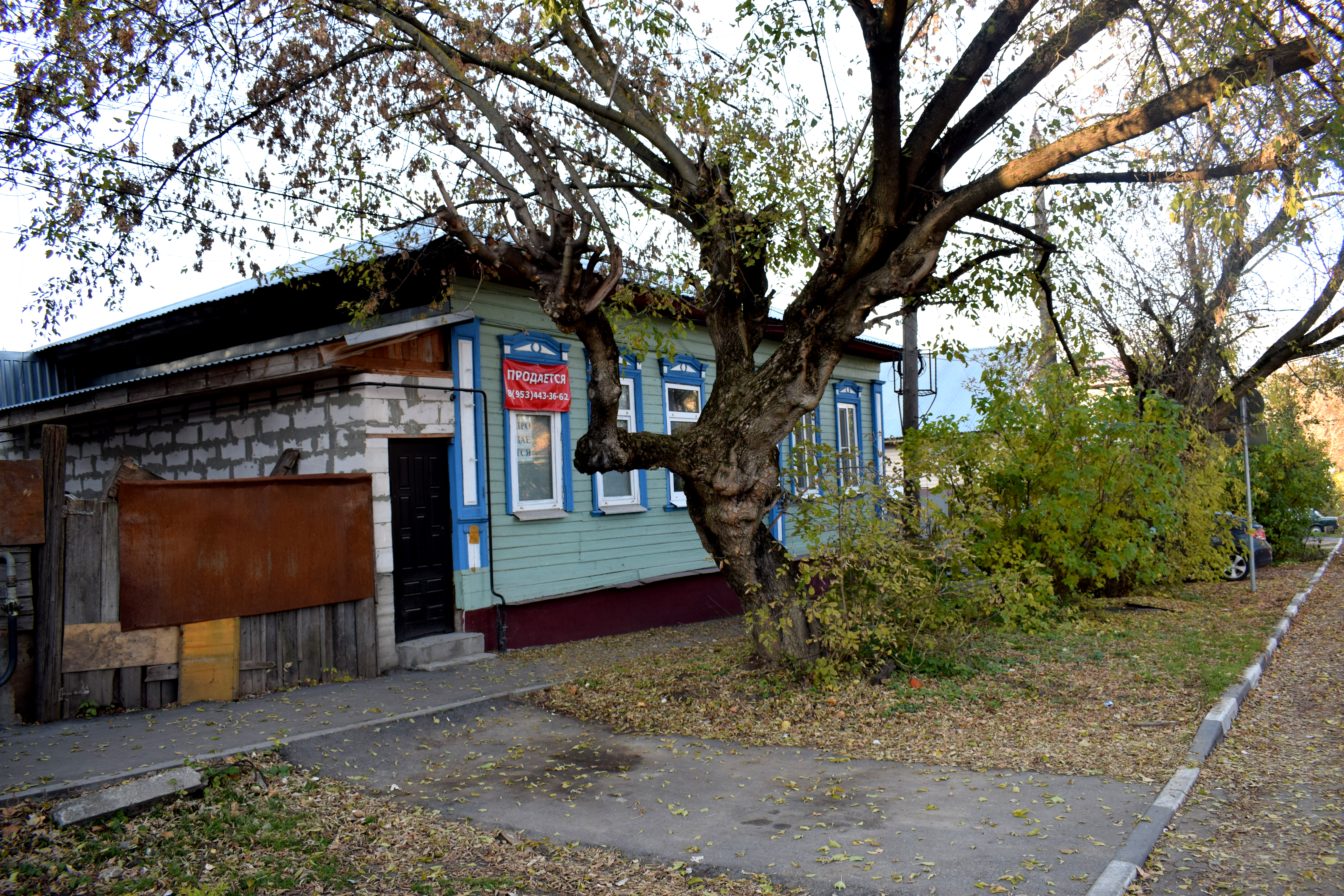 This one was up for sale.
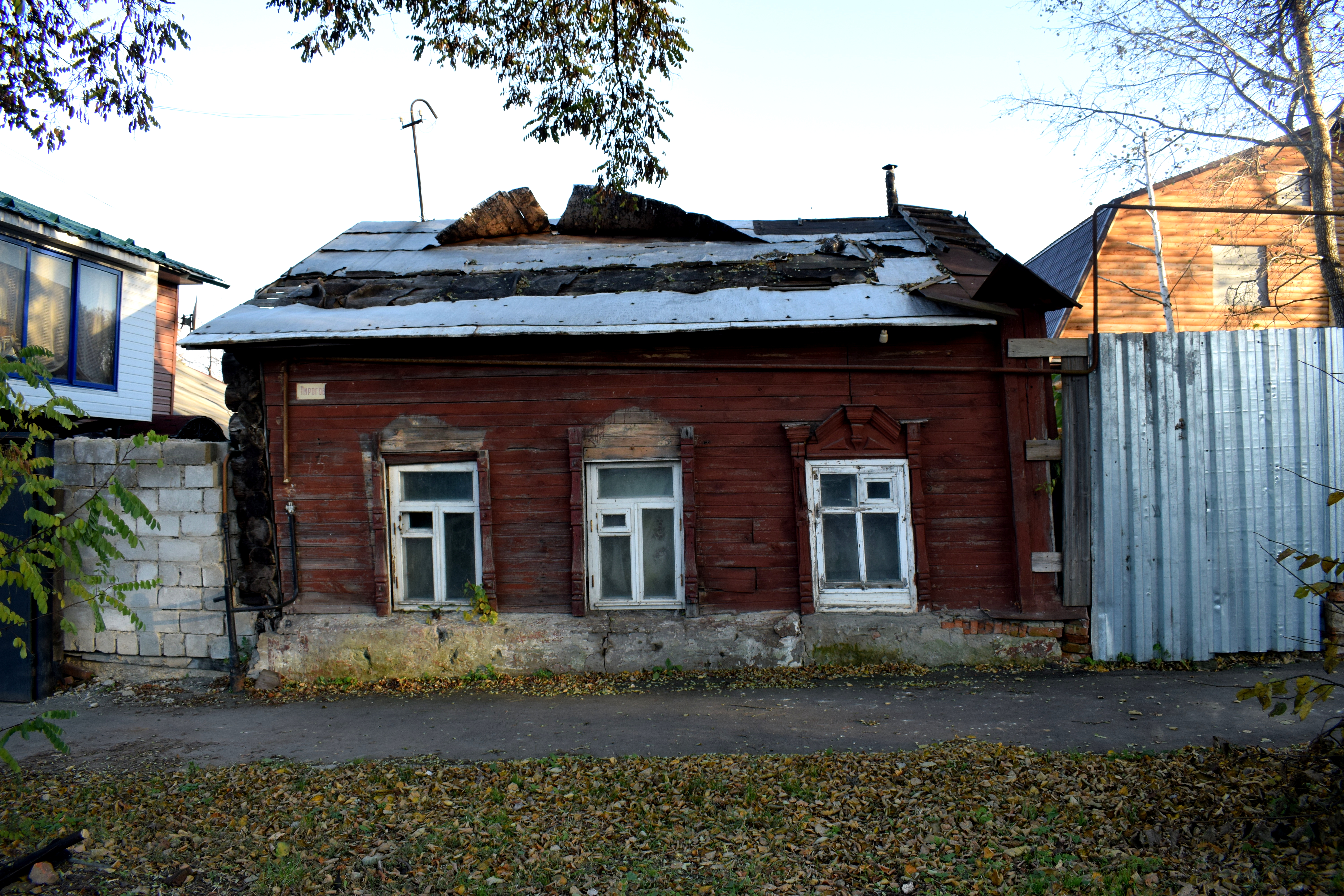
 Here was one that was in a terrible state, even though you could tell that not long ago it was a beautiful building. I took this picture in 2017, when it still could have been renovated.
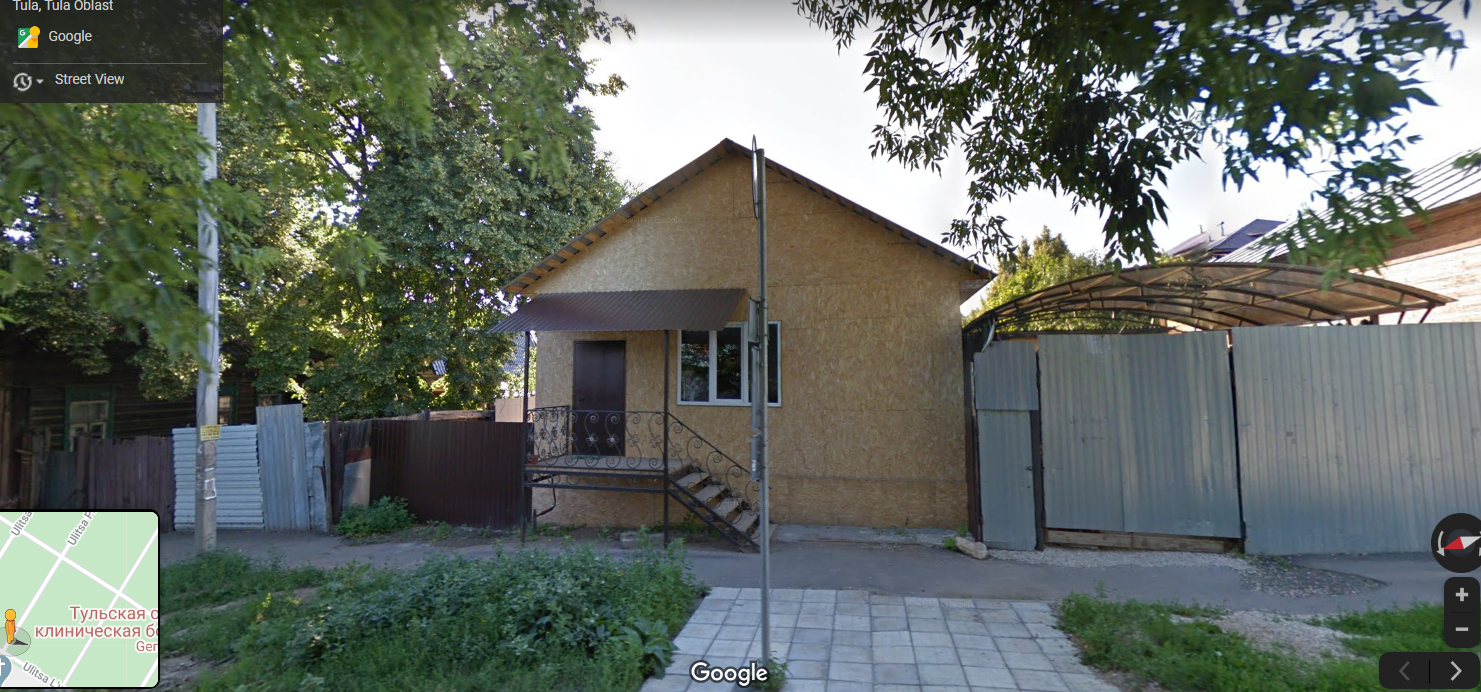 But I took a look at Google Maps in 2020 and it was gone. Whoever decided to buy the property figured it was too expensive to renovate the existing building. Instead they tore it down completely and a piece of Tula’s history is lost forever.
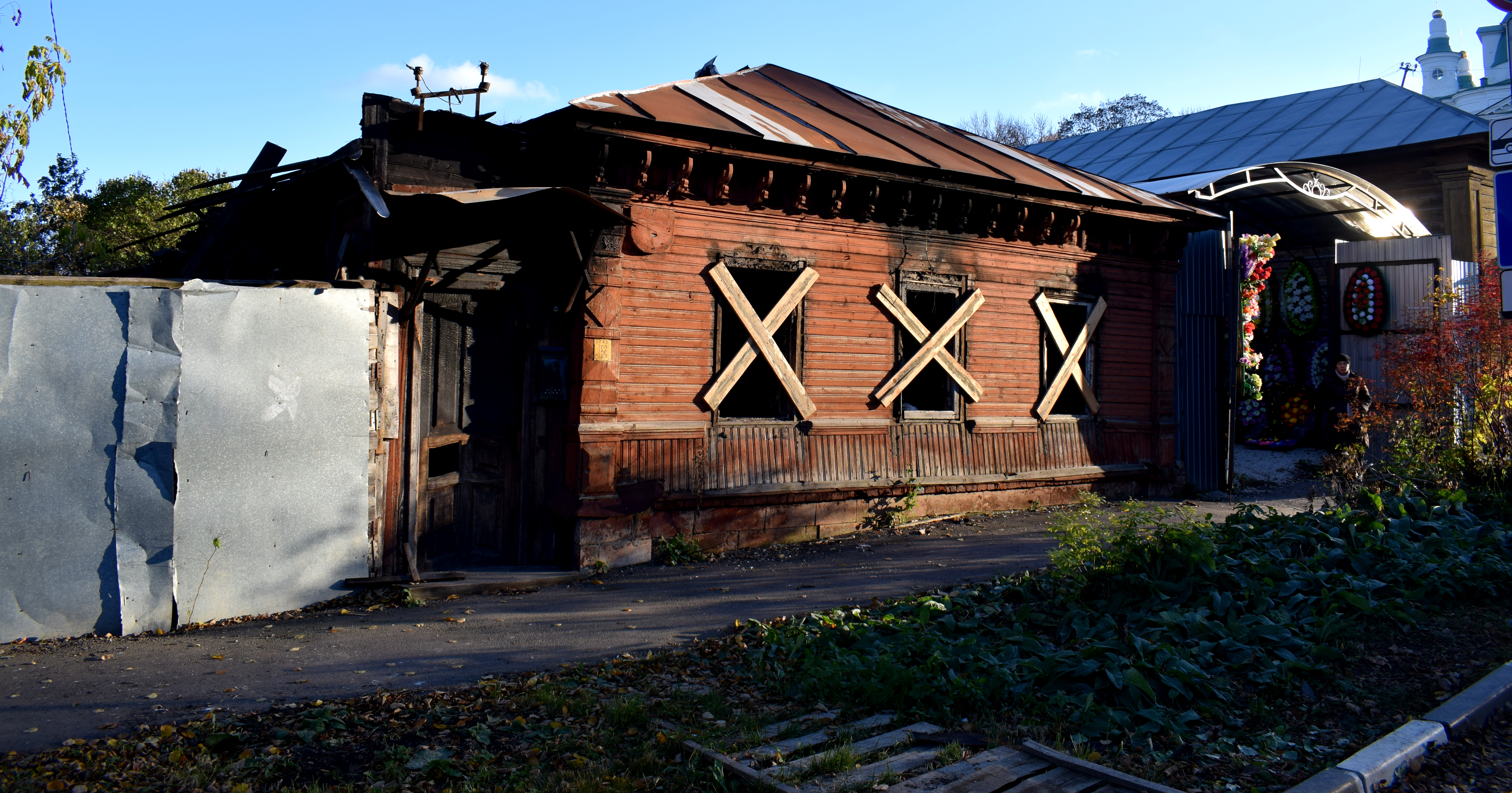
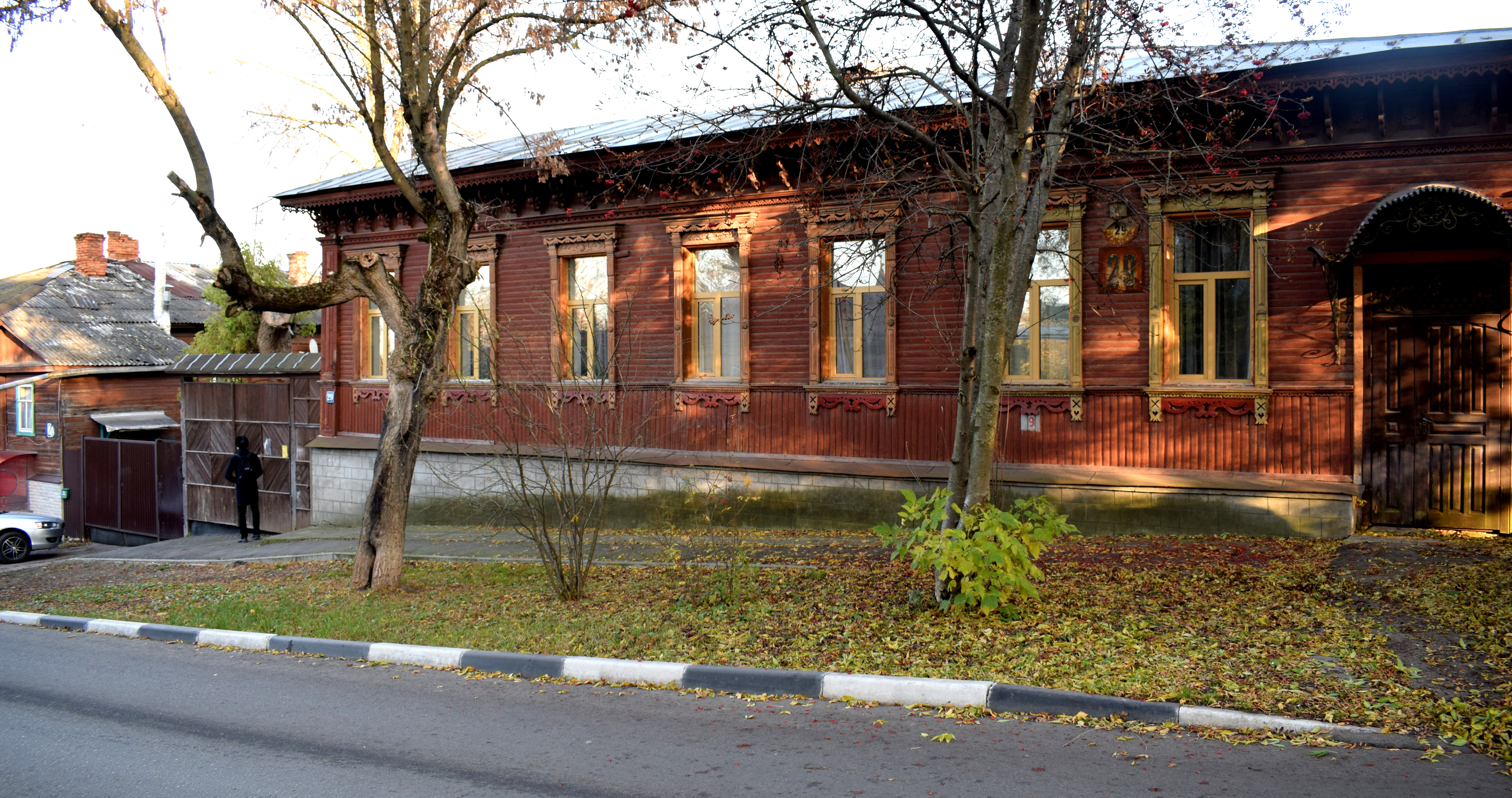
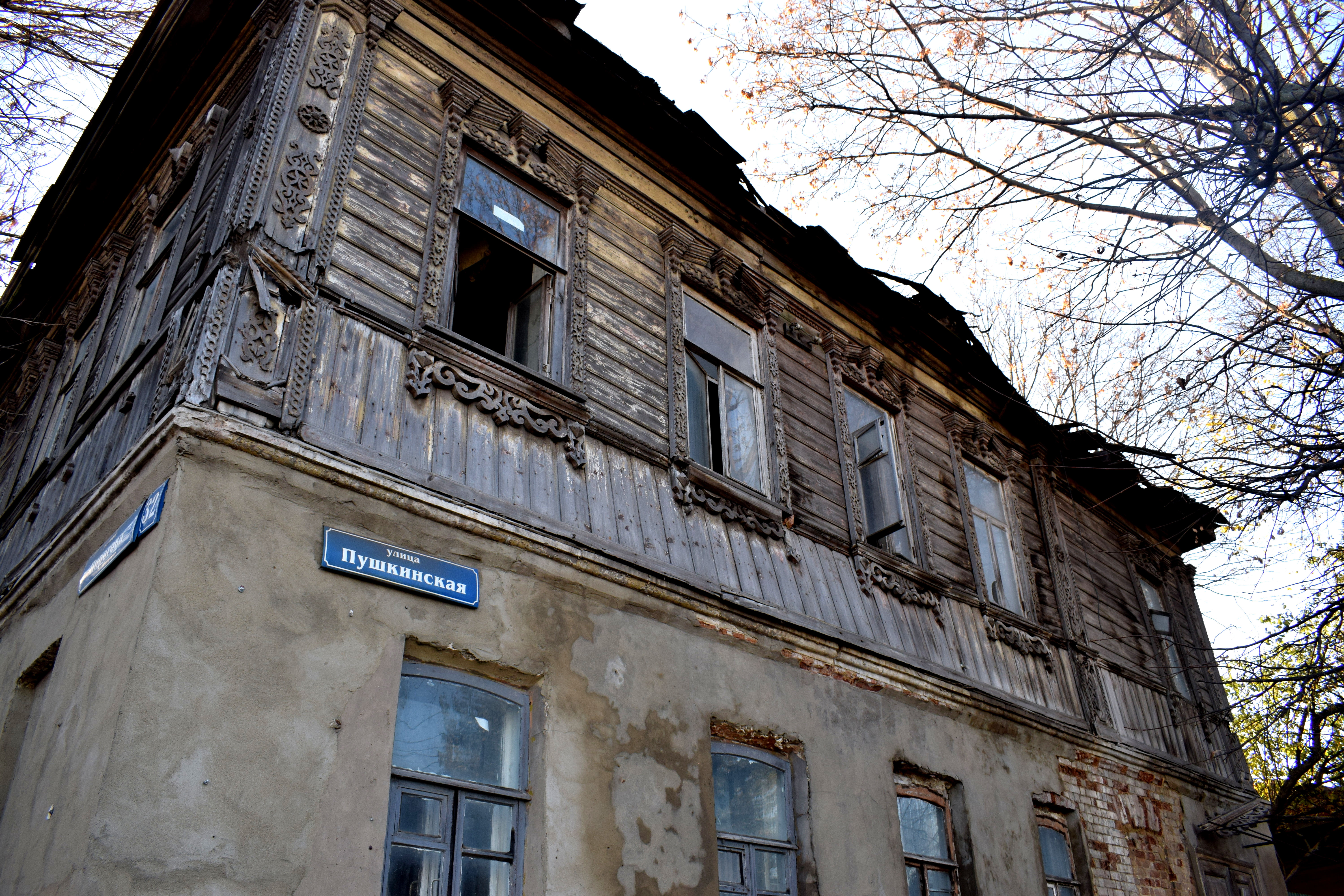
 If nothing is done to intervene, this is going to be the fate of every building on this street. Here’s another one in bad shape. Nothing stops someone from buying this property and tearing it down to build a new modern building in its place.
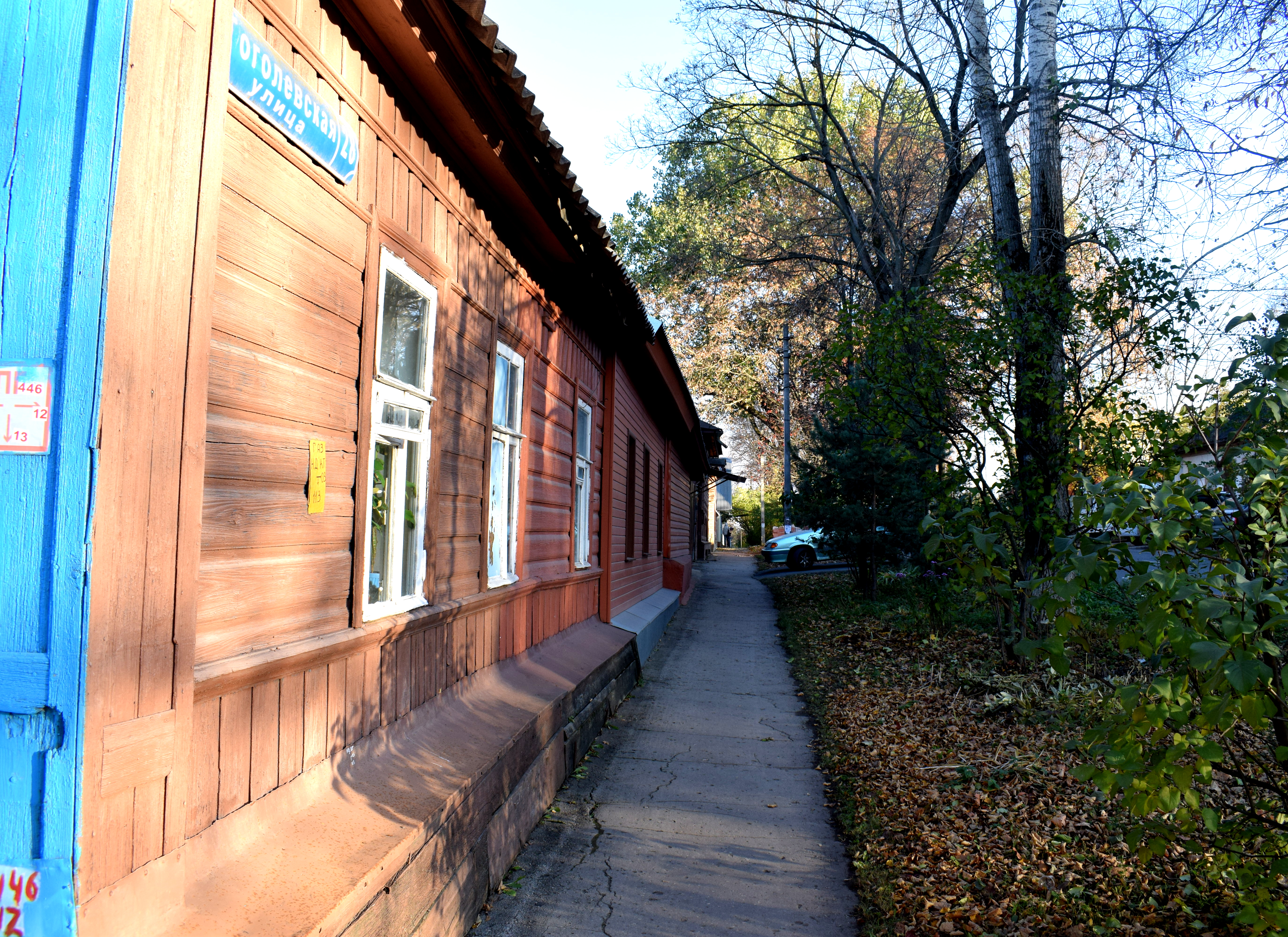
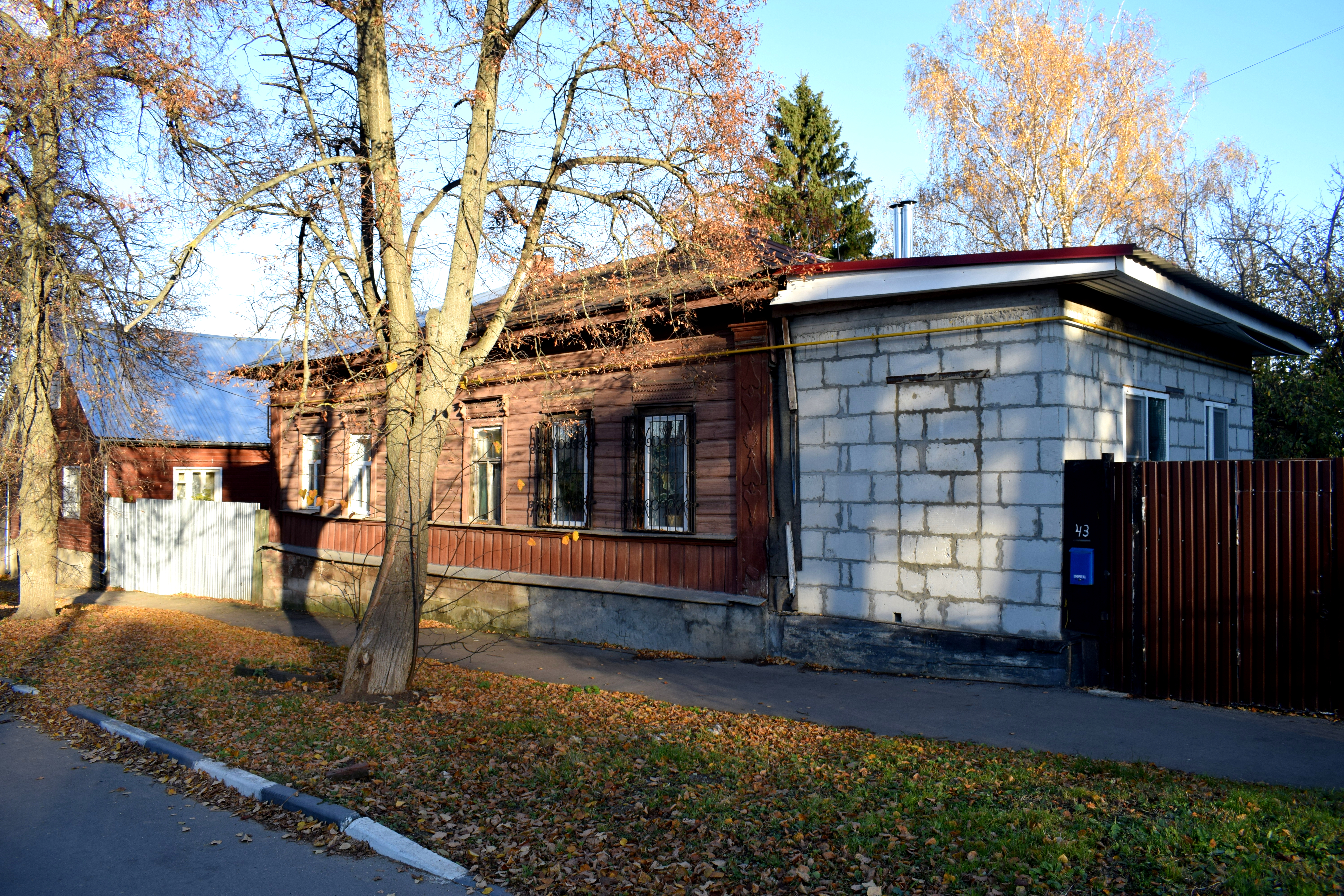 The beauty of these buildings is that they preserve what Tula looked like 100 years ago. You could be in Tula in 1905 and this street would have looked exactly the same.
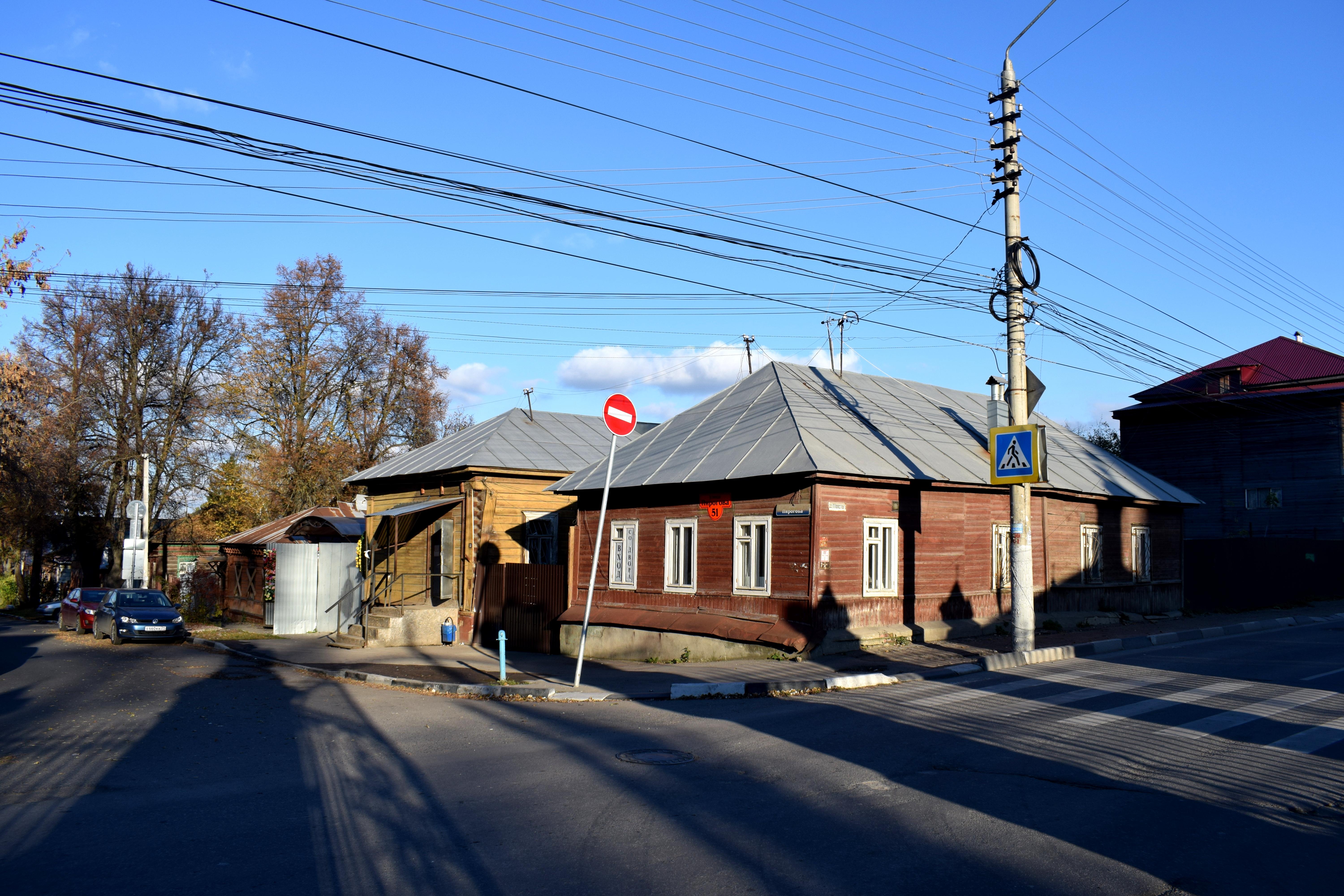
 A look down Pirogova Street.
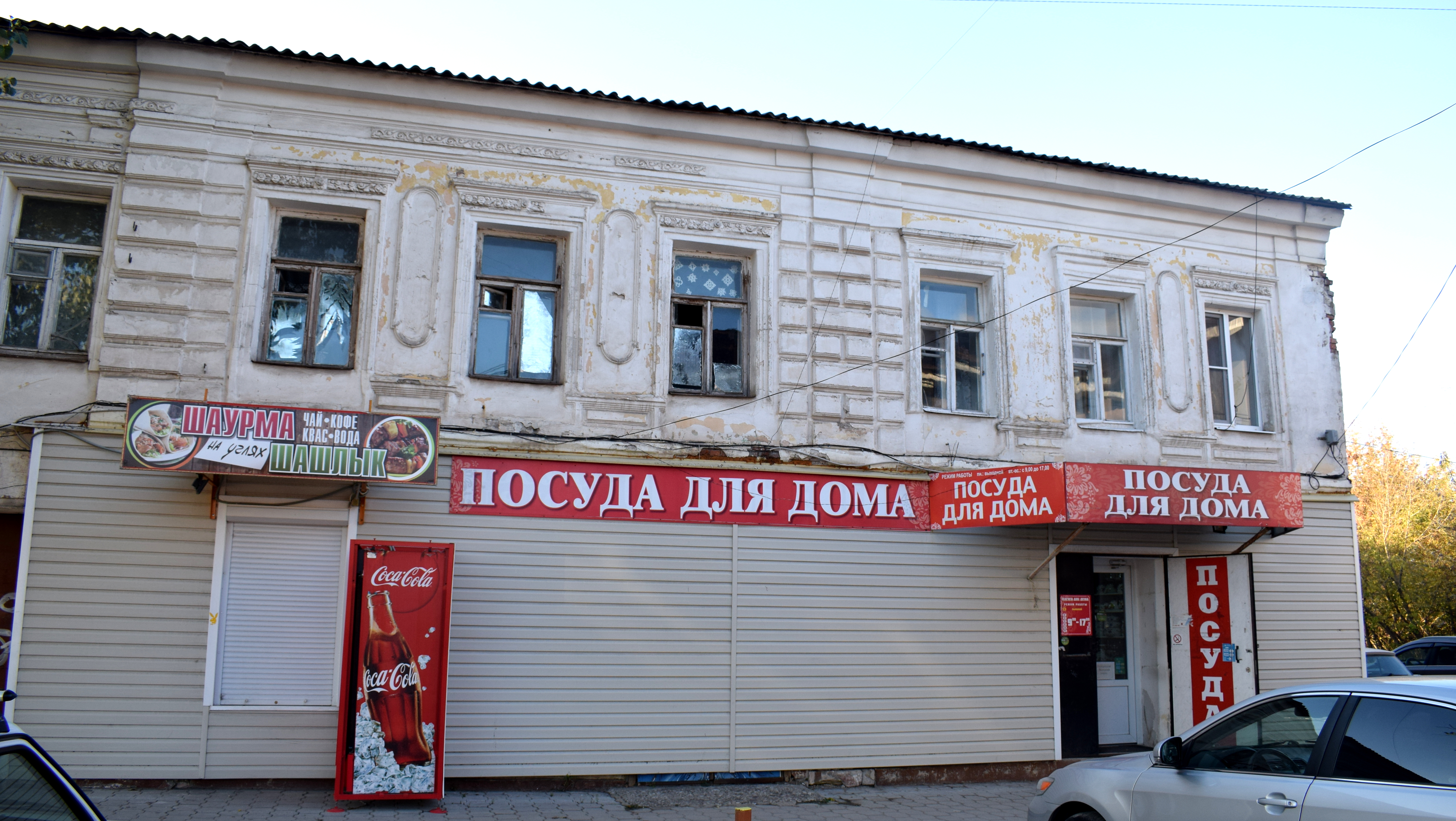
 Given proper care, these buildings could be converted into hostels or mini hotels, cafes, bookshops, souvenir shops, coworking spaces. There’s tons of businesses that work better using traditional architecture and you don’t need a modern equivalent.
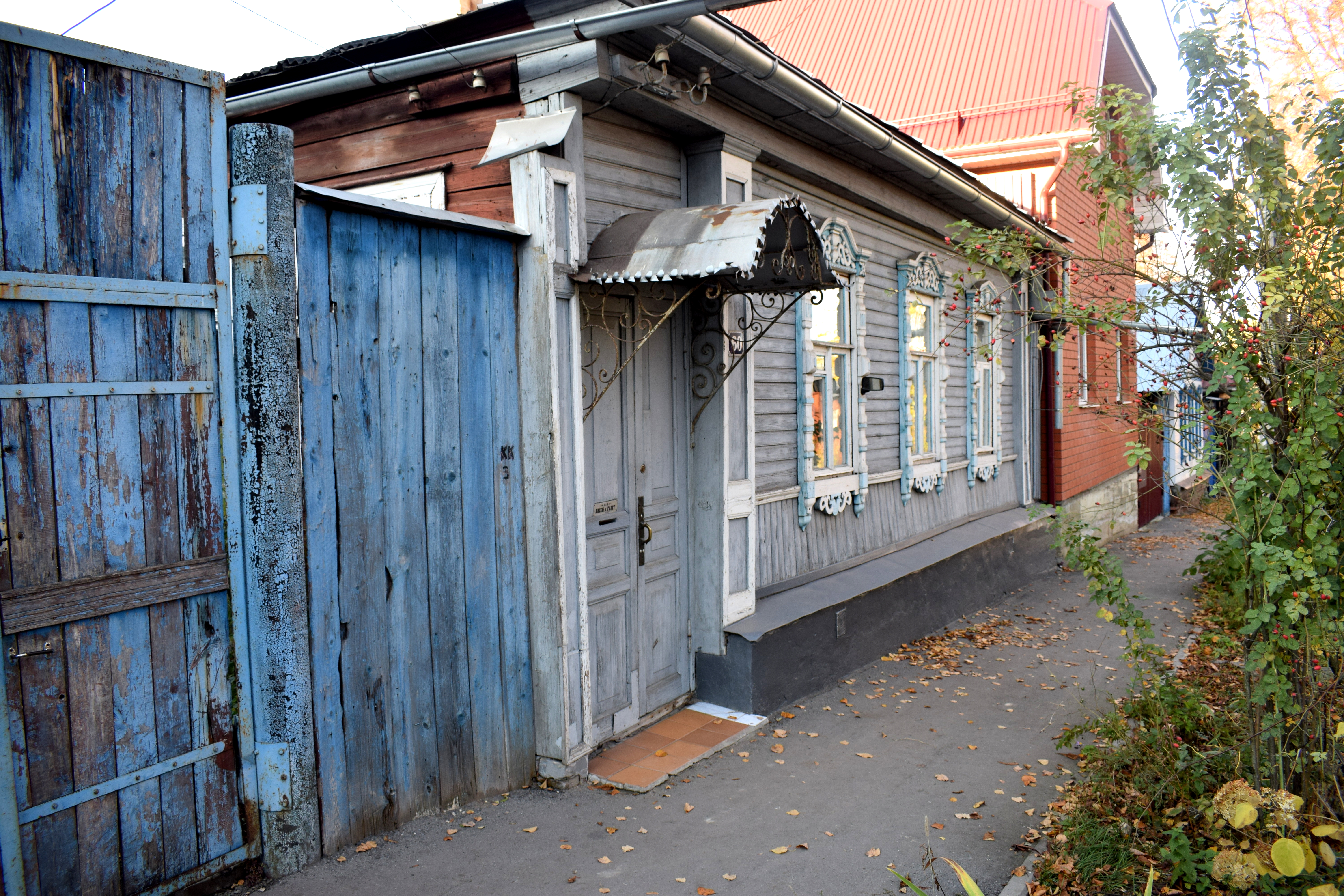
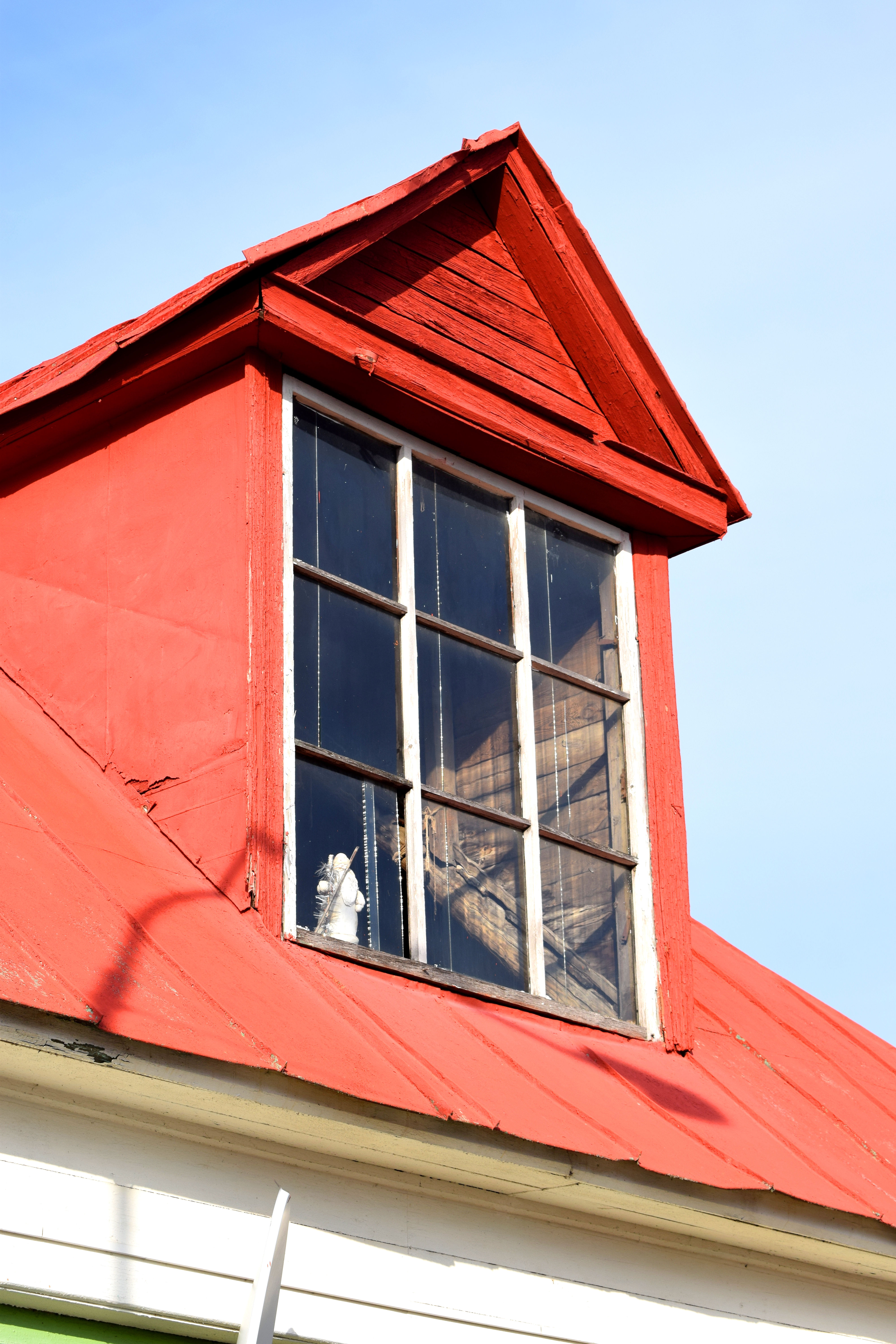
What I love most about these buildings is how colorful they are. They are all painted in different colors.
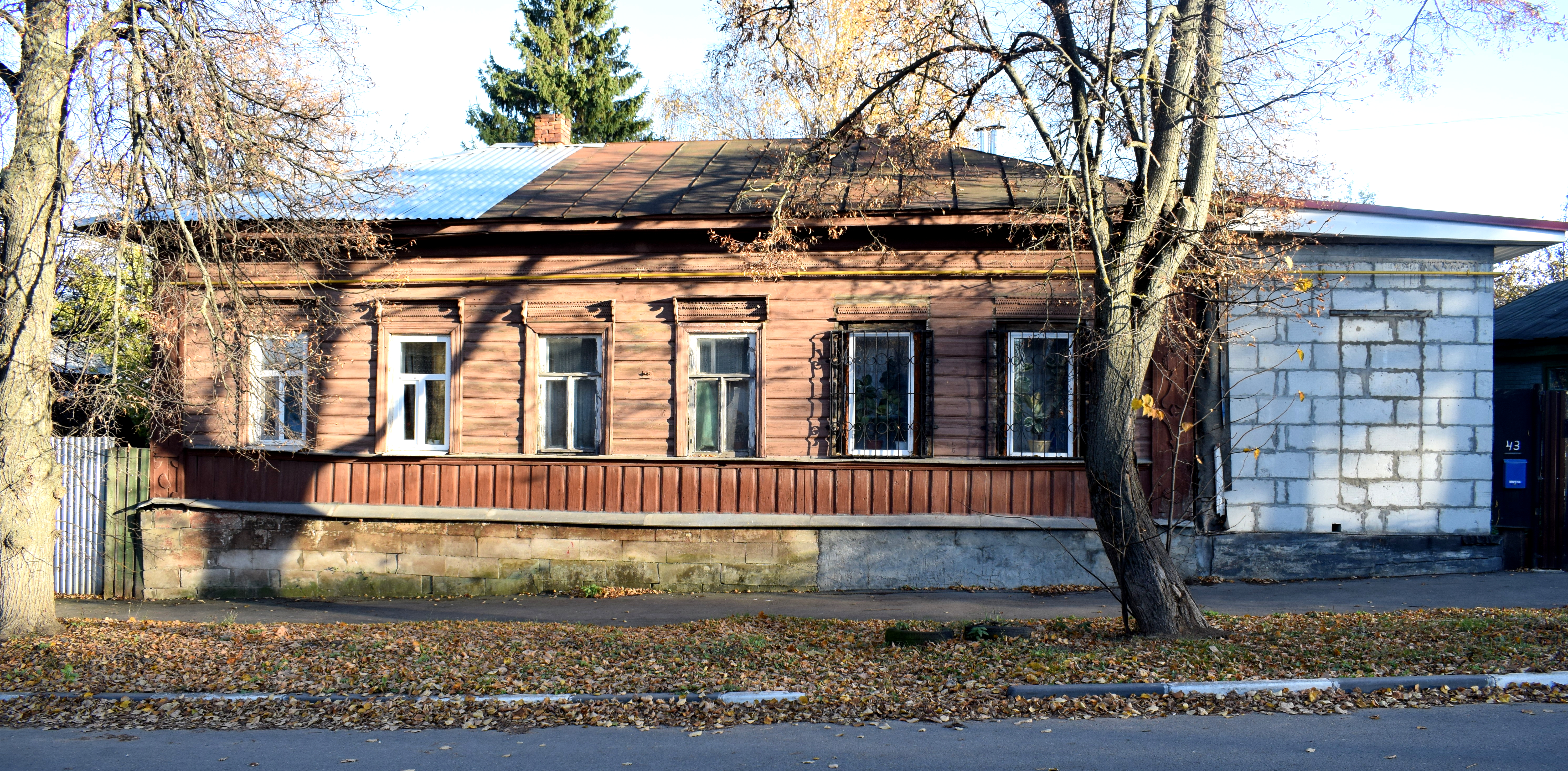
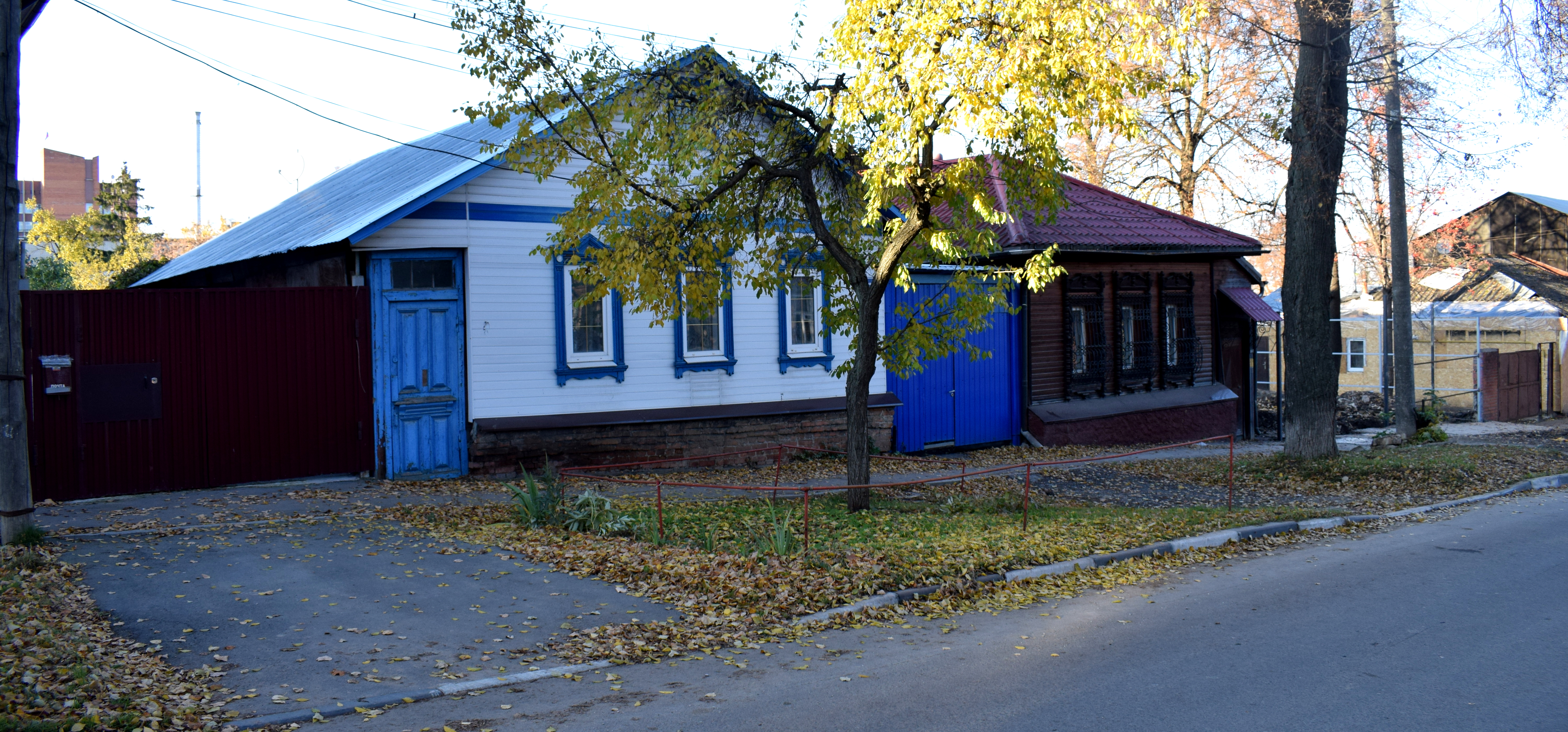
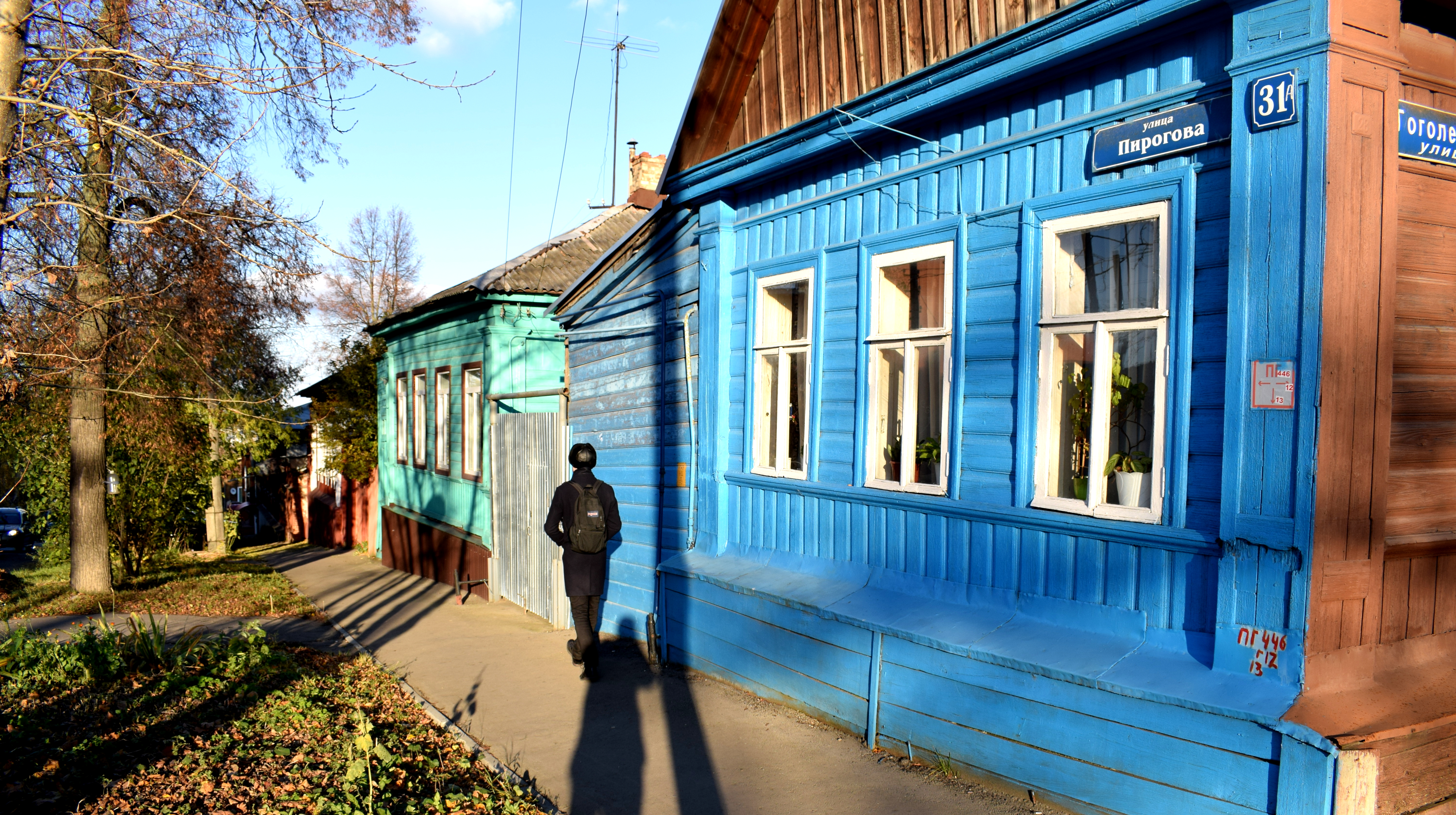
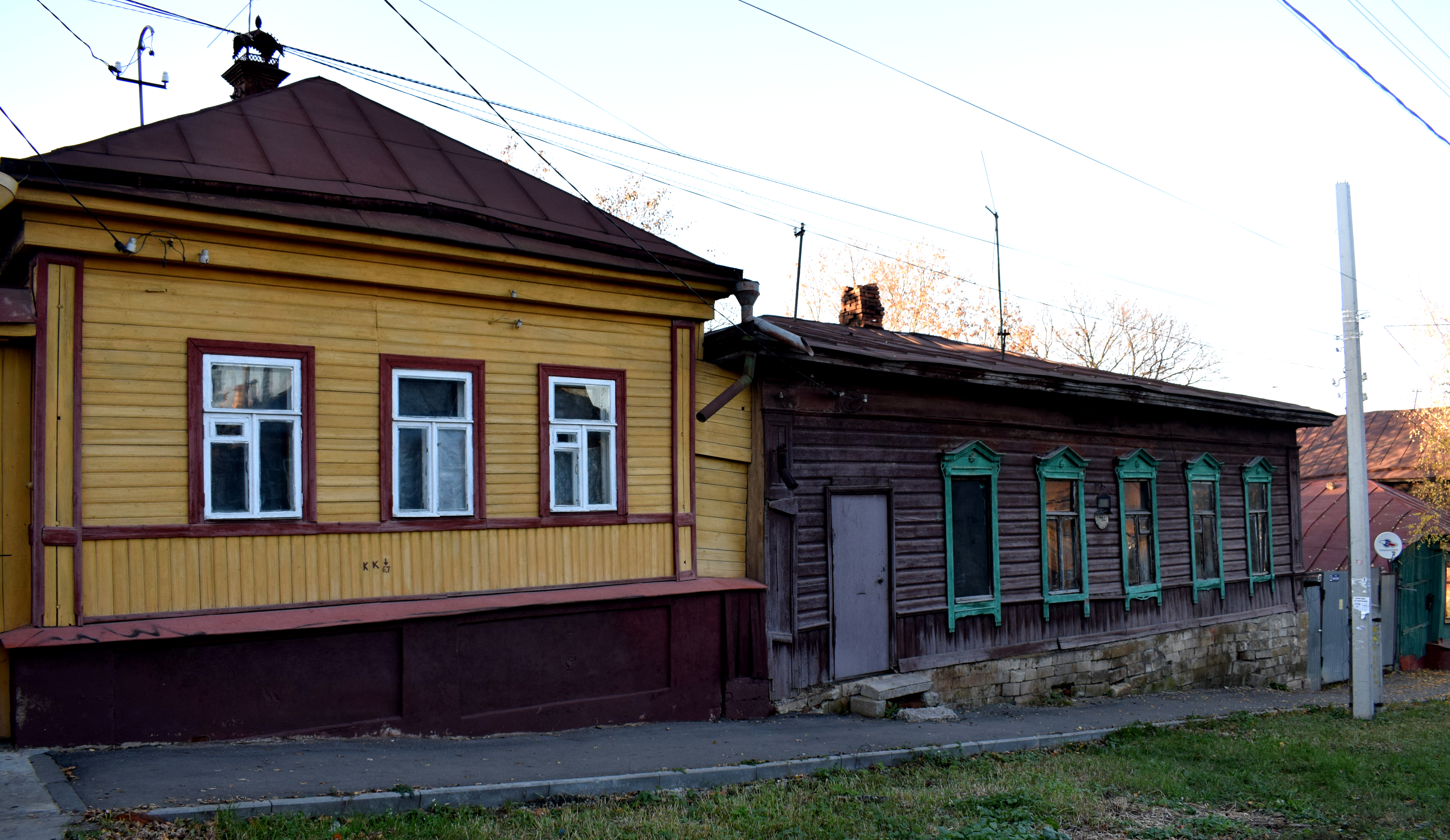
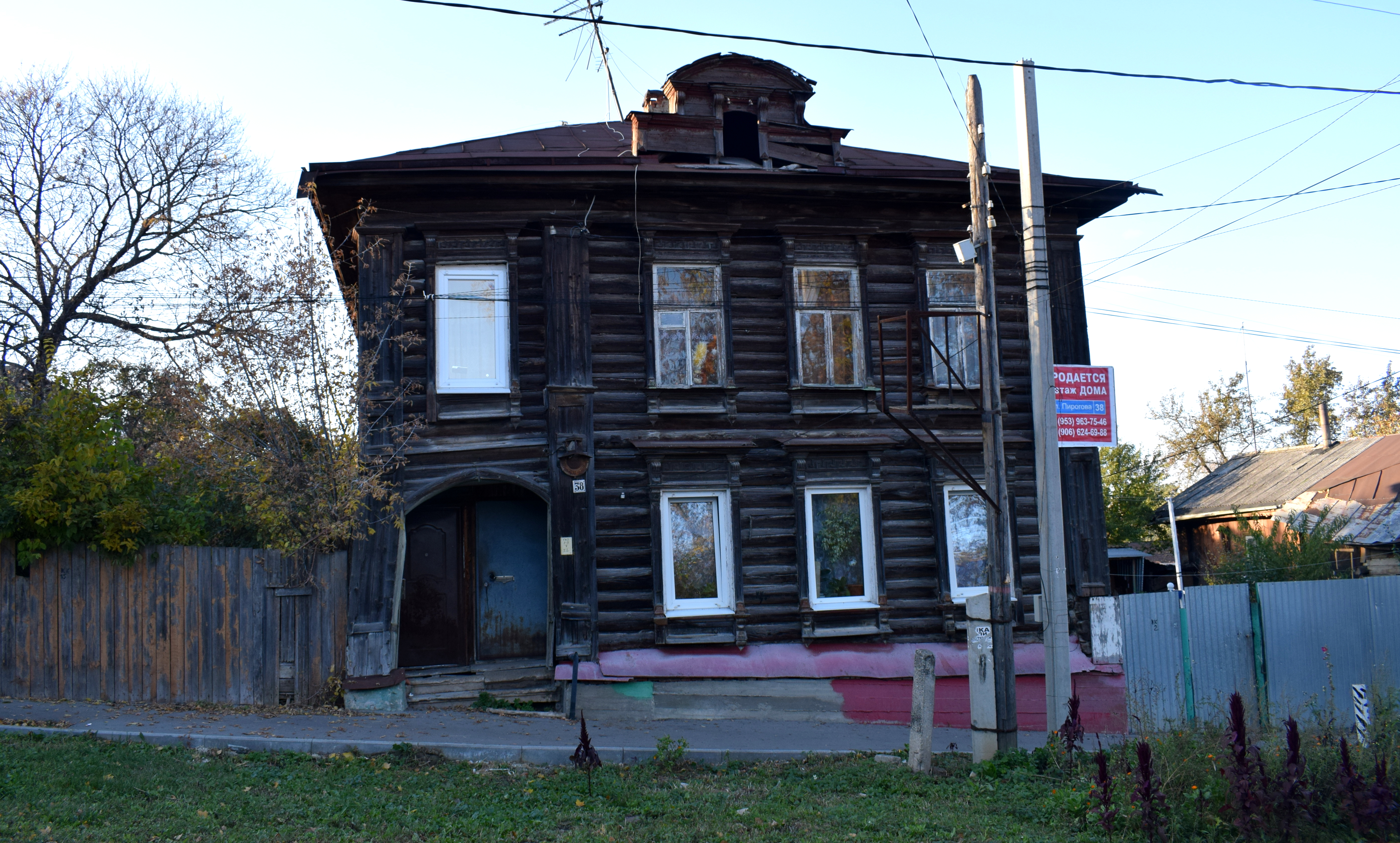
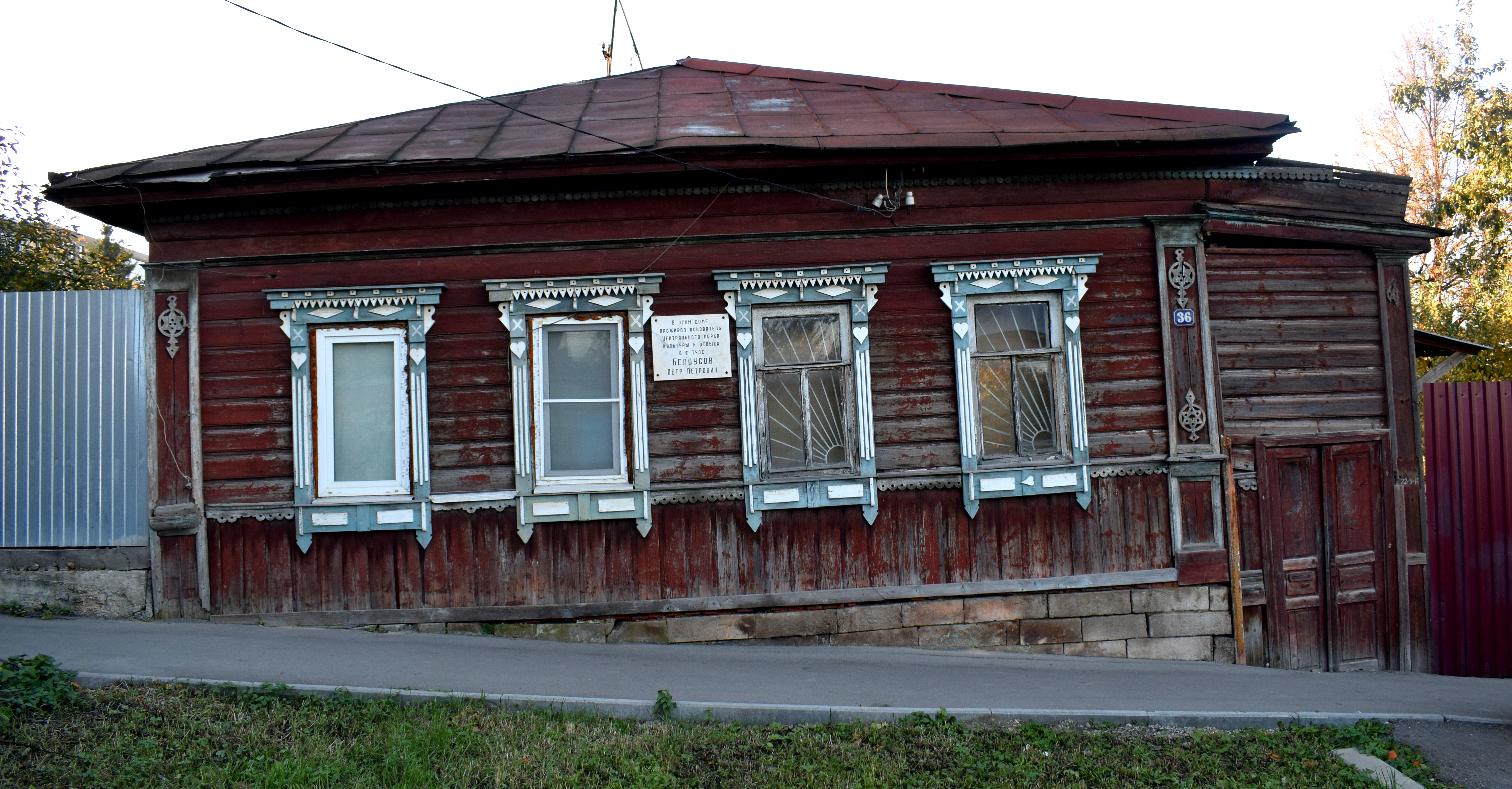
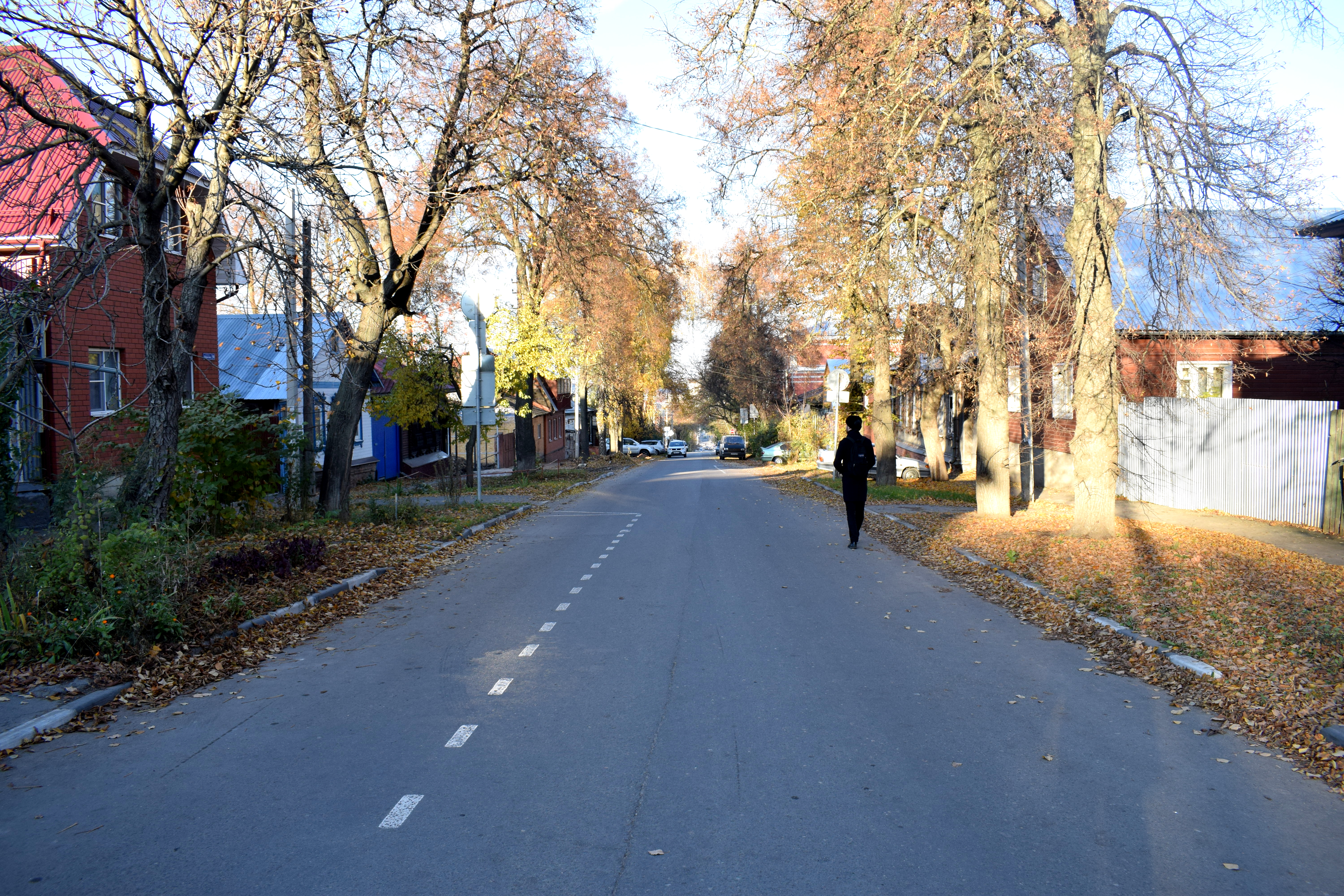
Unfortunately many of them were in bad shape. Traditional wooden buildings in Russia are in danger of disappearing forever. All across the country these buildings are being torn down as people move to cities and forget about the buildings where their grandparents grew up and came from. I wrote an entire separate post about the topic here about a street in Tula that was filled with these wooden buildings.
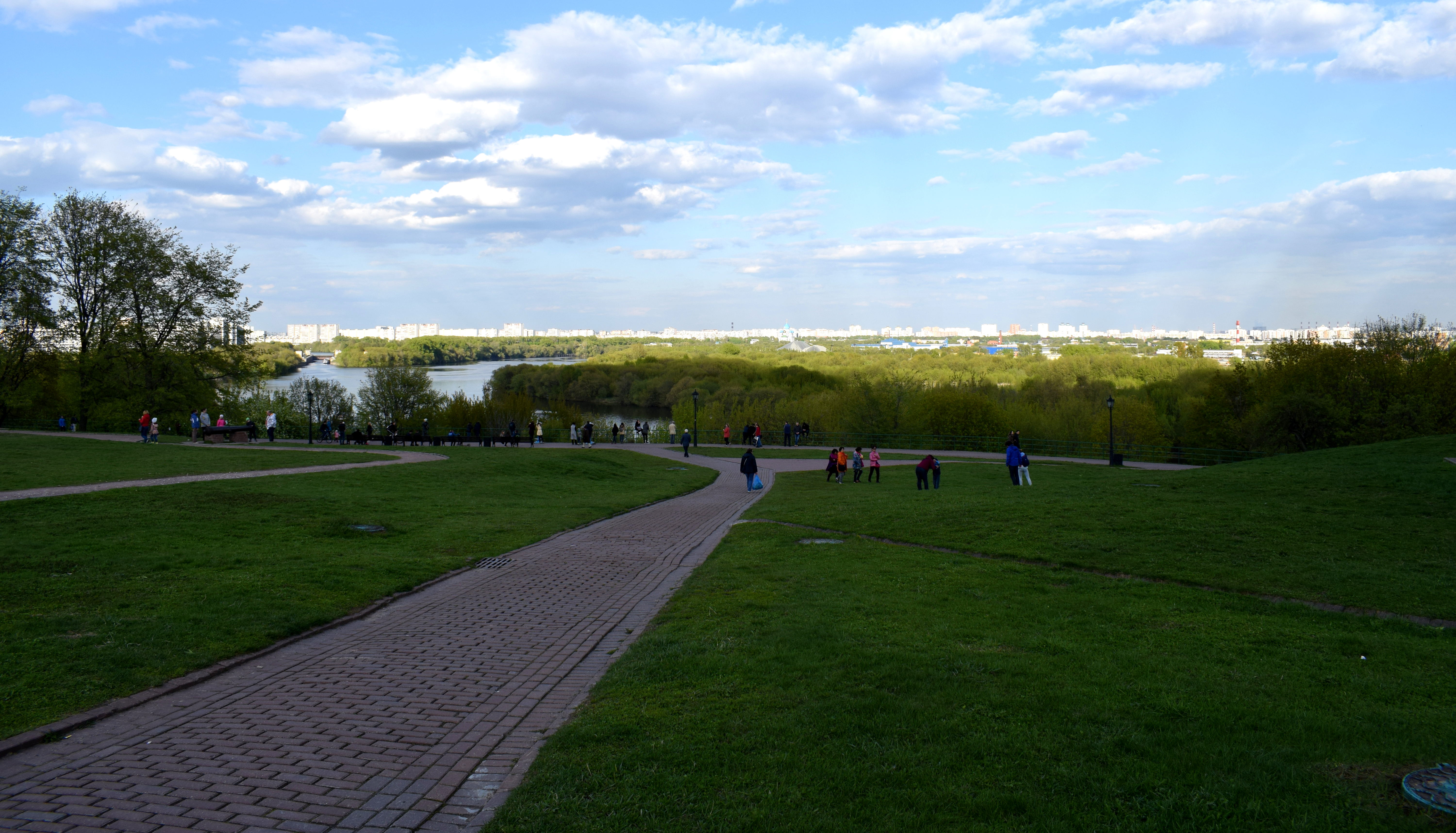
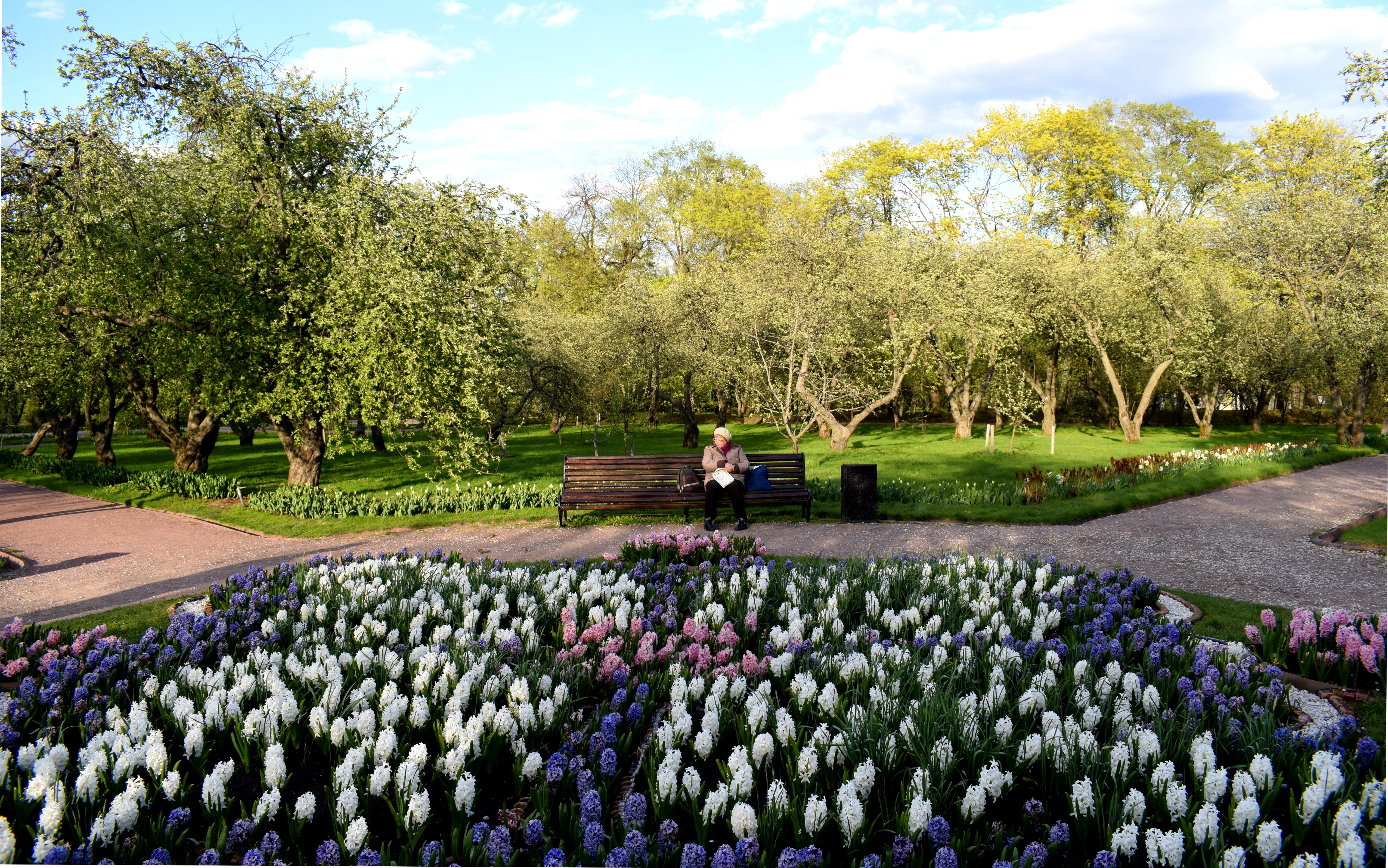
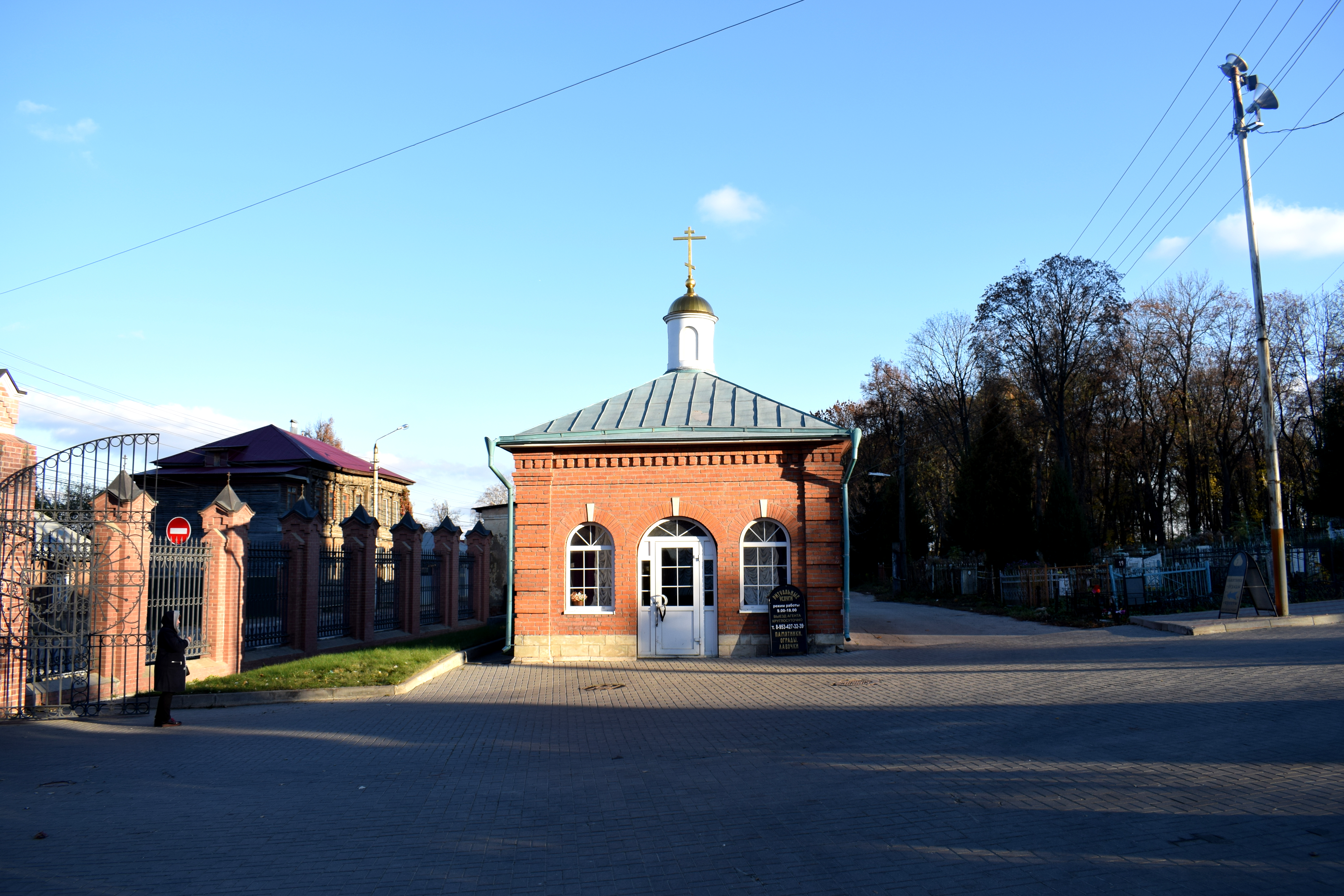
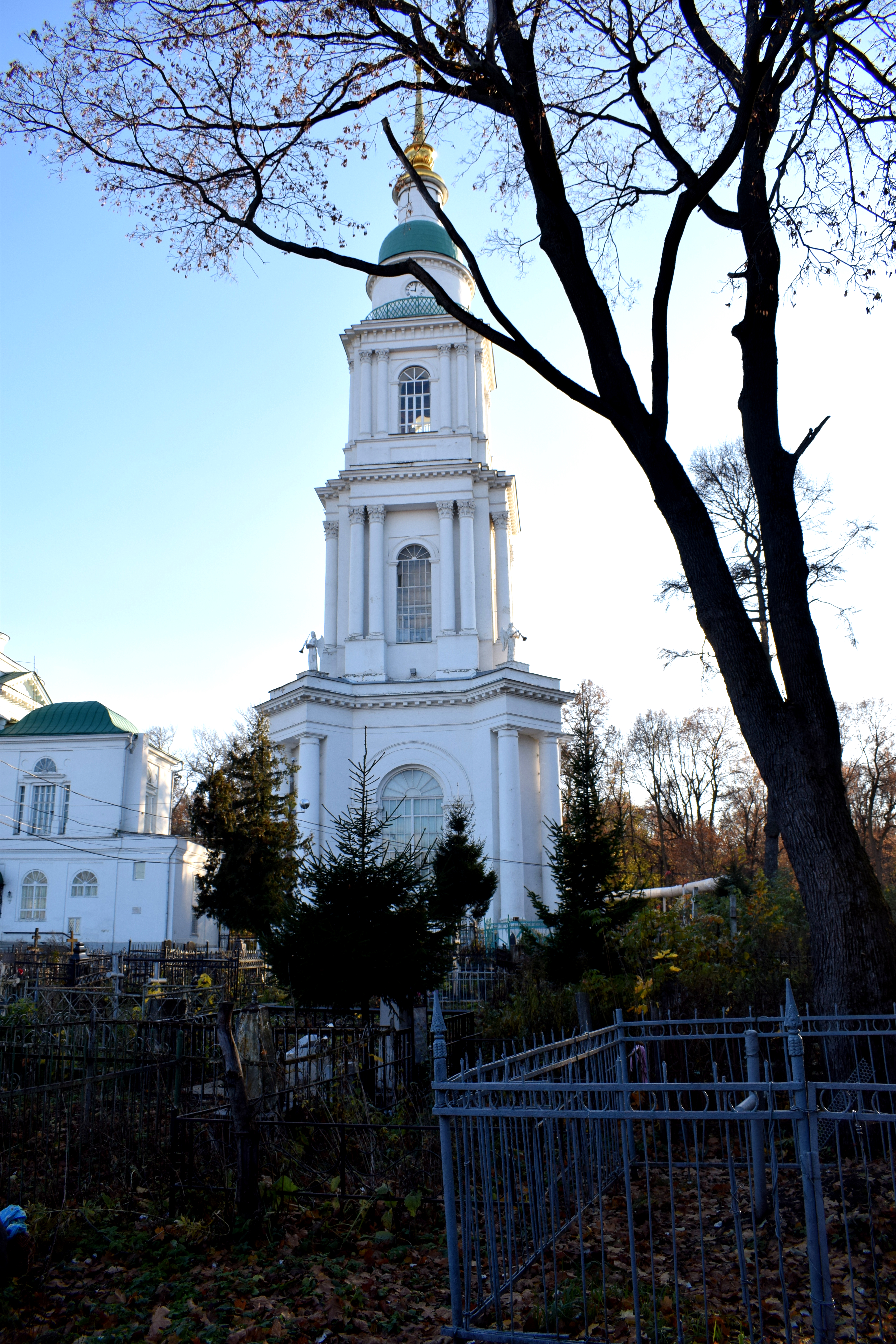
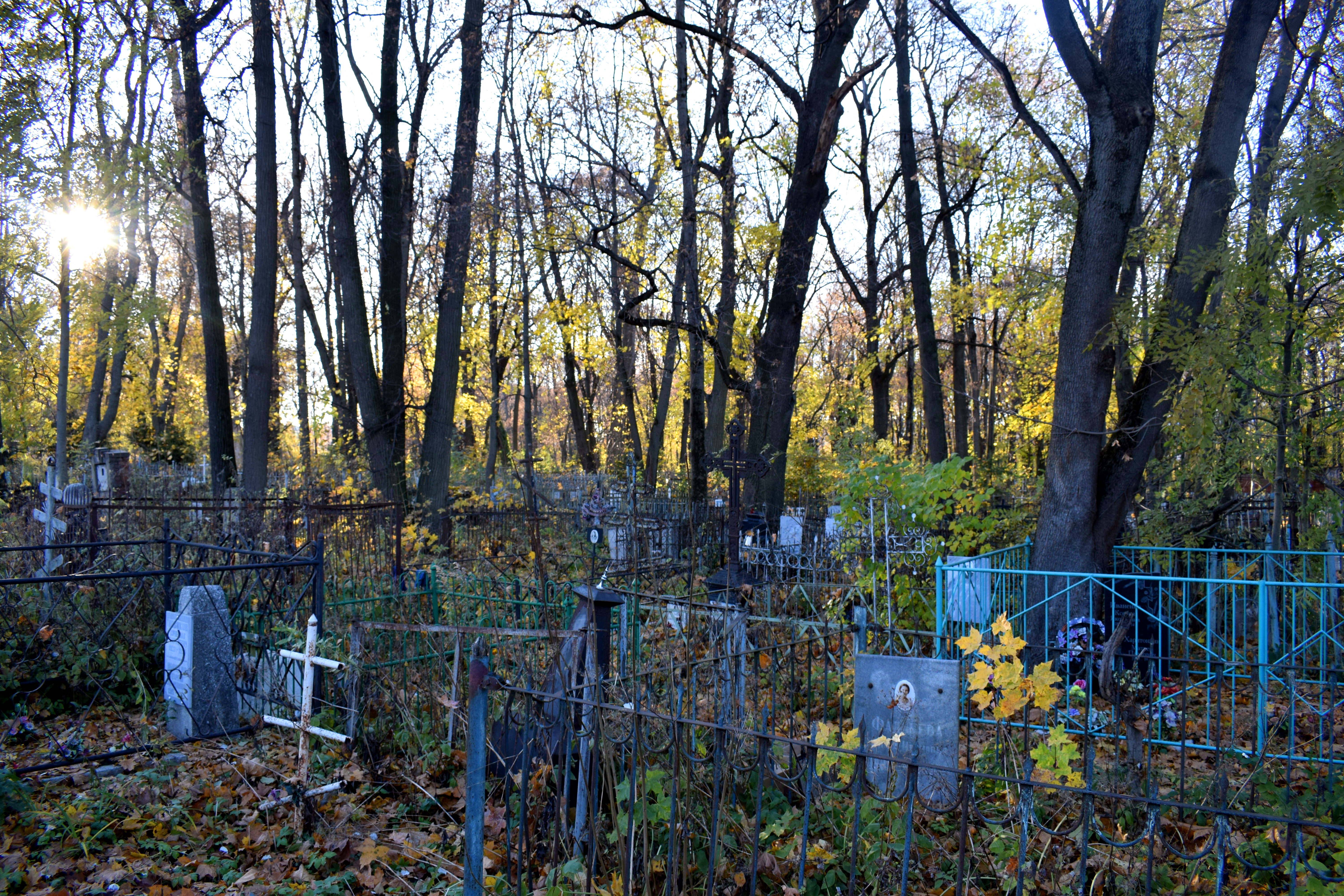
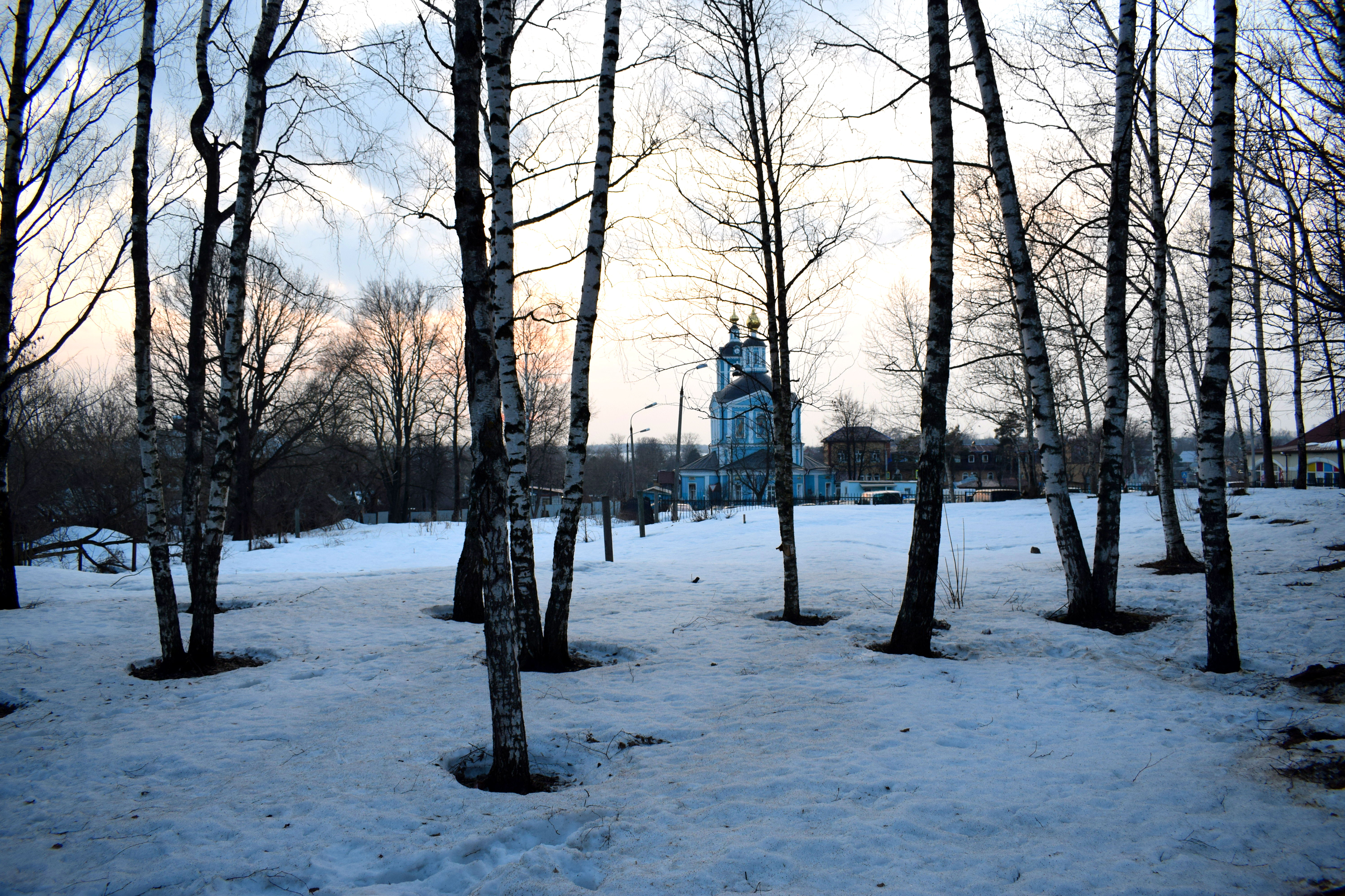
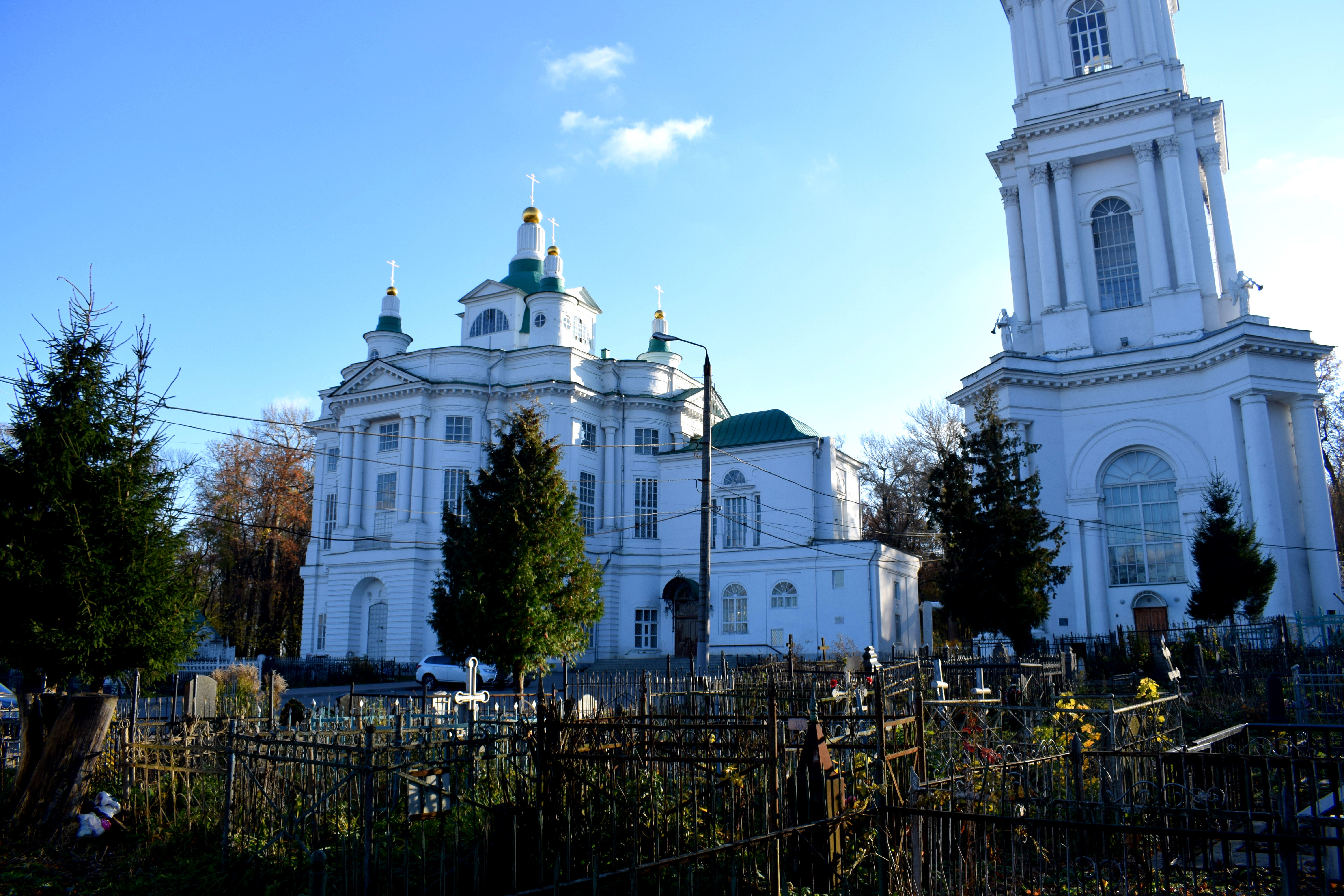 Tula is mostly a flat city, but there is a slight hill at the top of which the Всехсвятский кафедральный собор (Vsehsvyatski kafederalni sobor) is located.
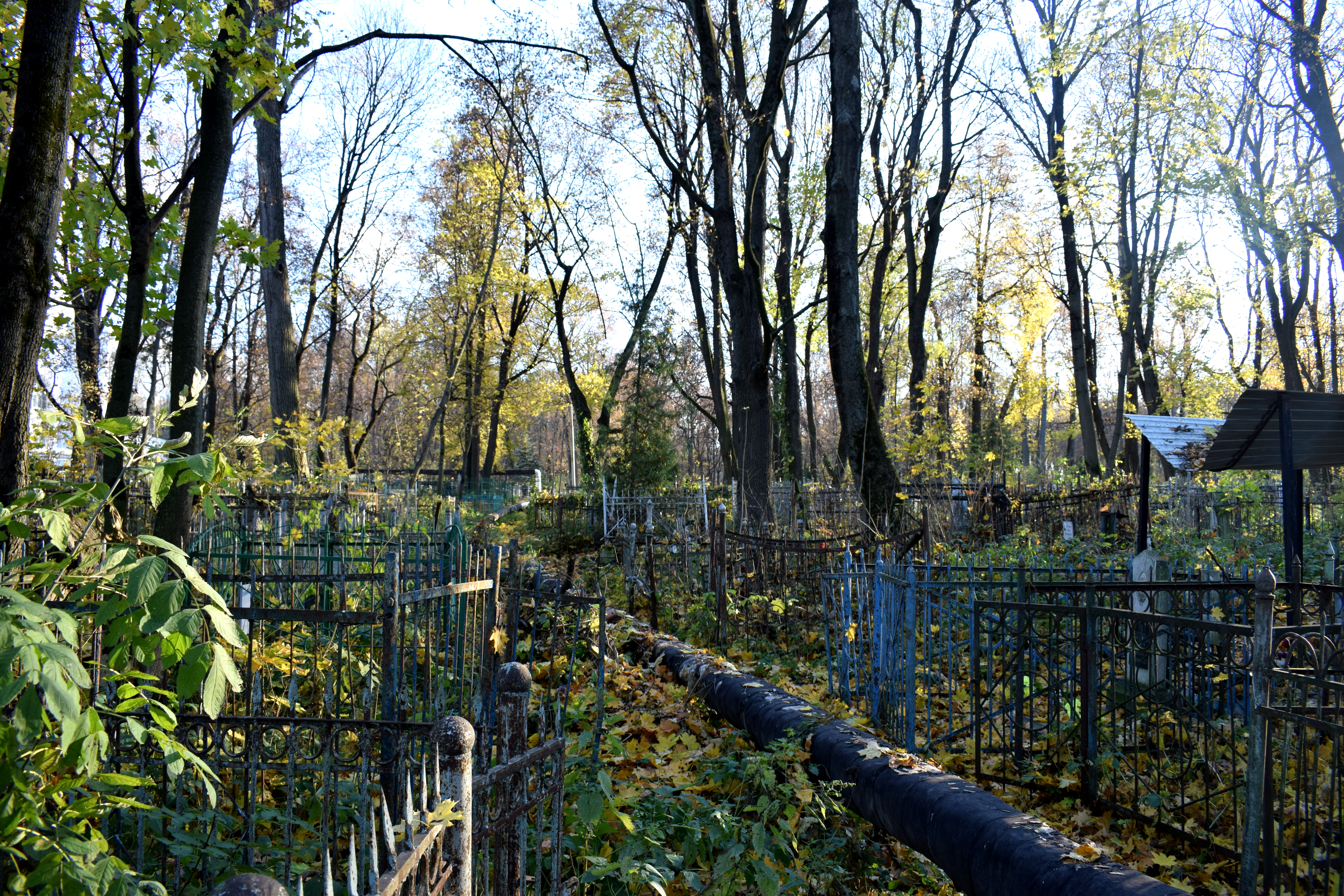
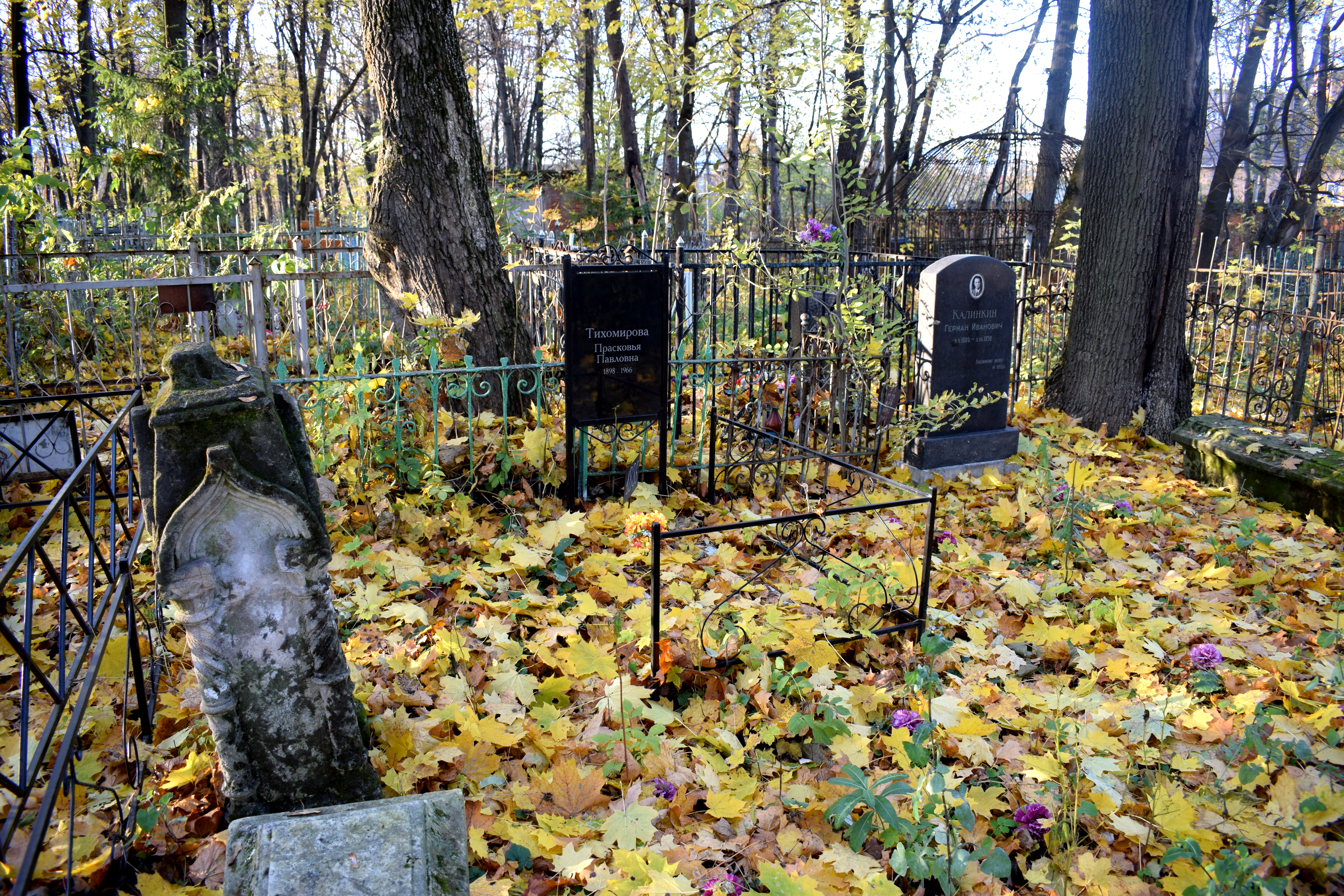
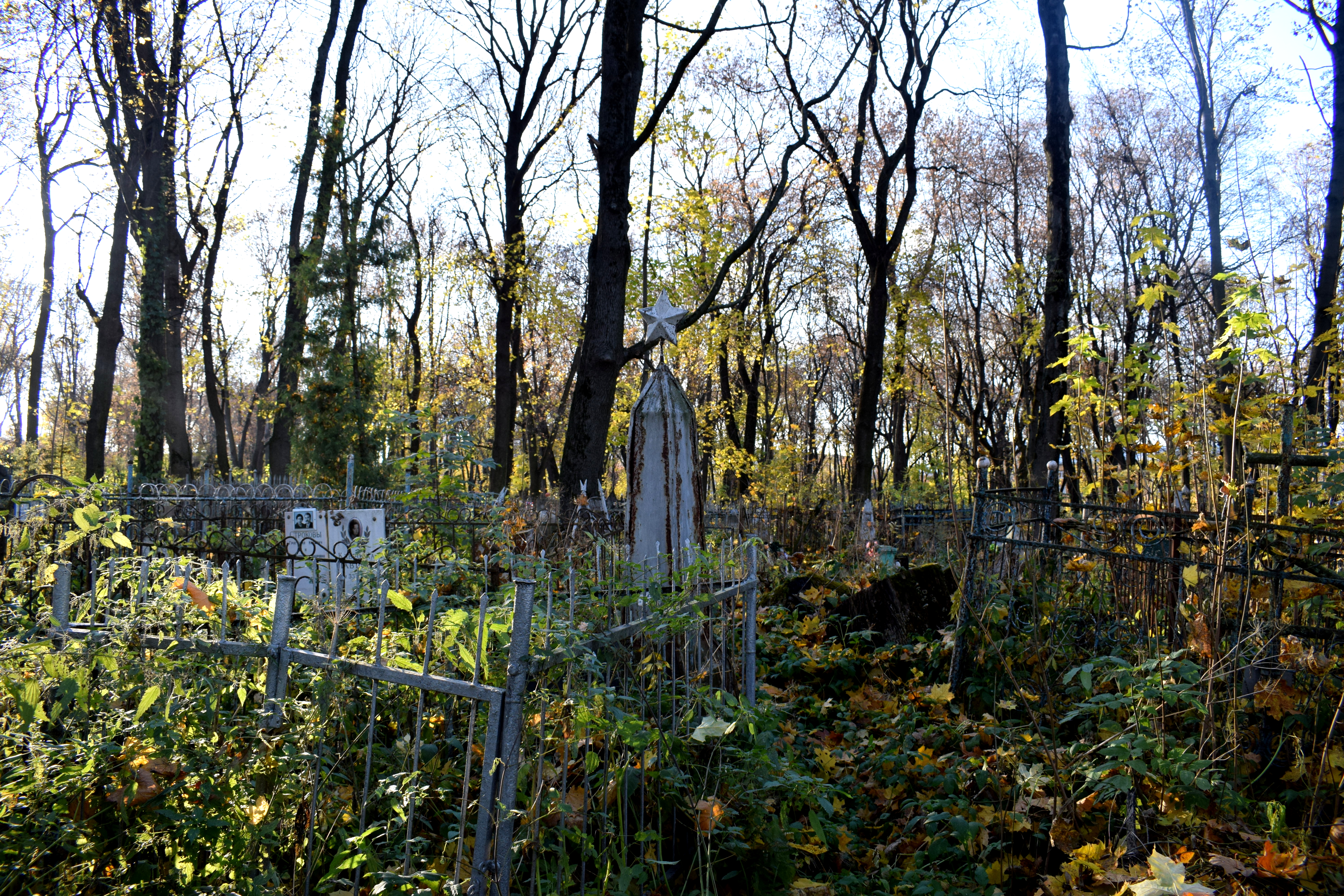
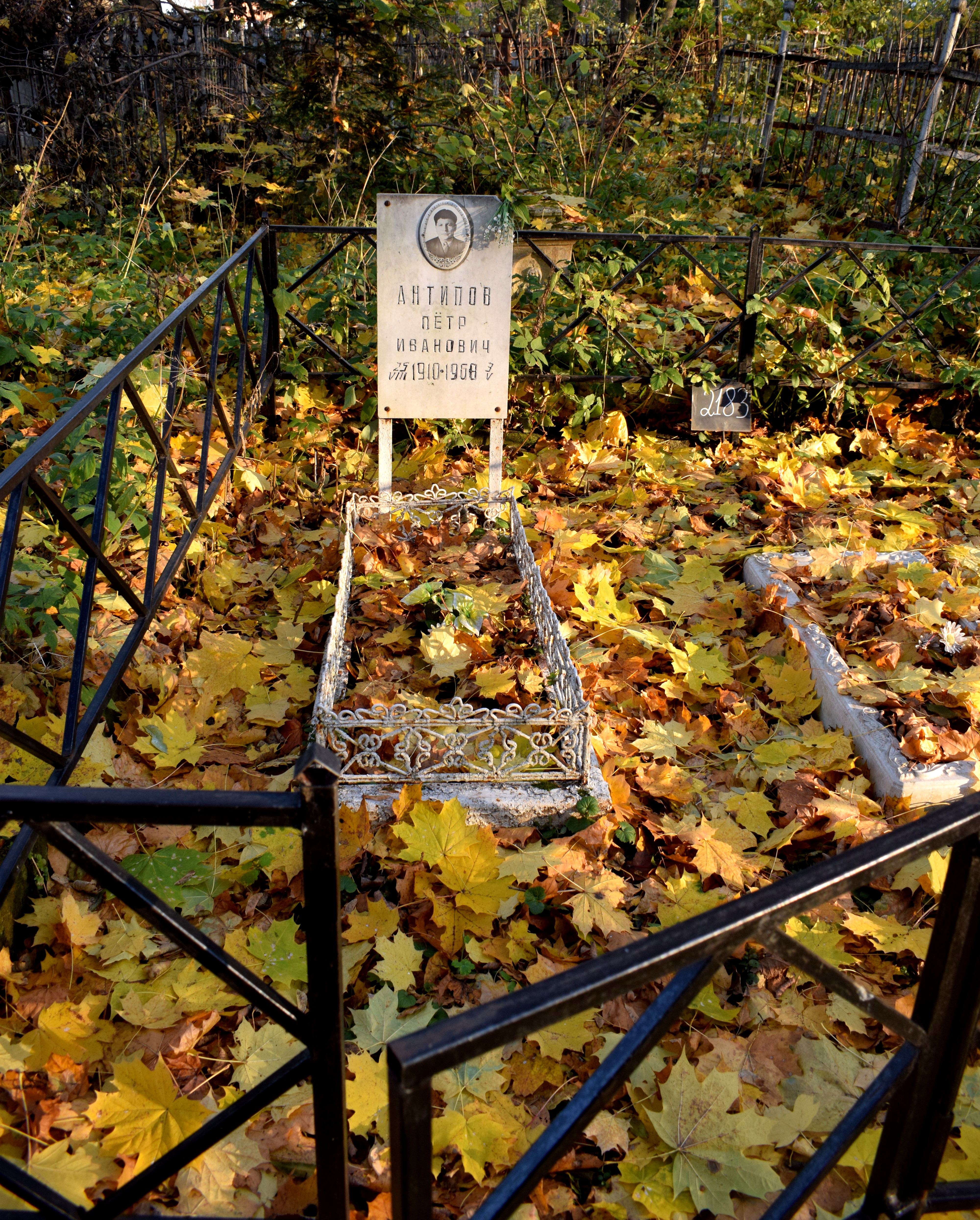
This is one of the oldest cemeteries in the city. Built in 1772, it contained some of the oldest graveyards and tombs in the city from over 100 years ago.
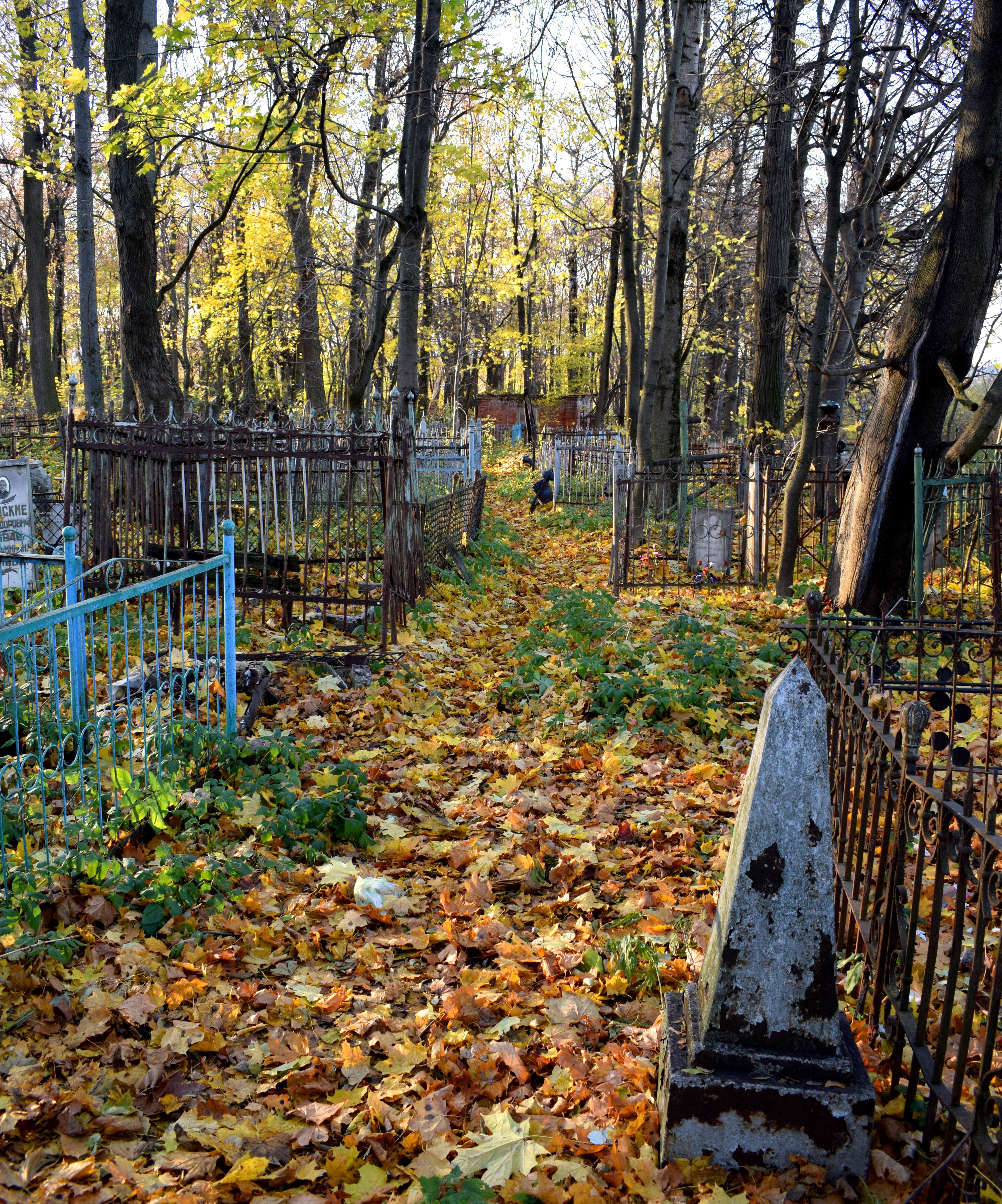 A few notes about Russian graveyards. As a rule cemeteries in Russia are located in the woods. This is something I find unique specifically to Russia, and is not the case in Serbia or the Balkans where my family is from and is definitely different from the United States.
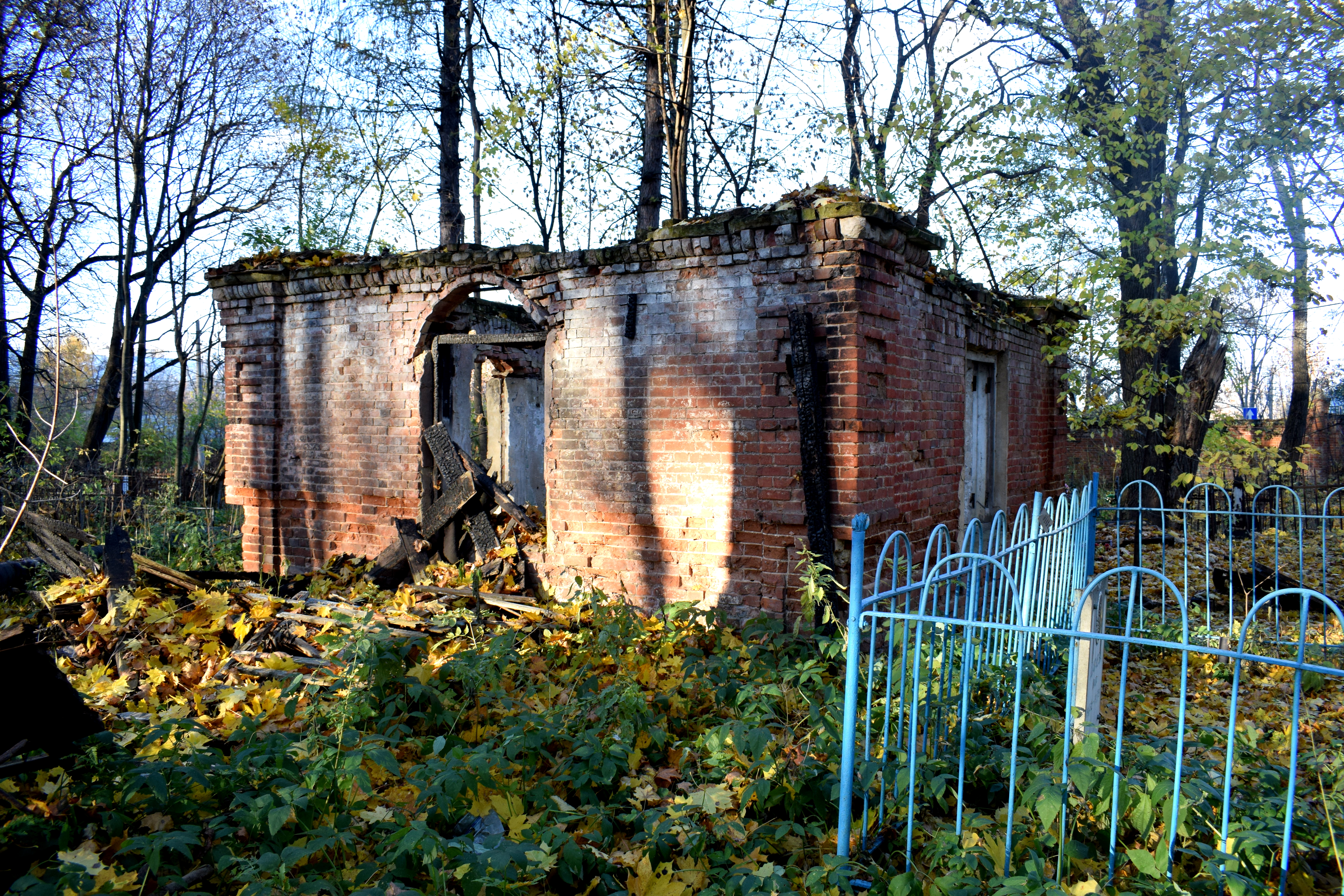
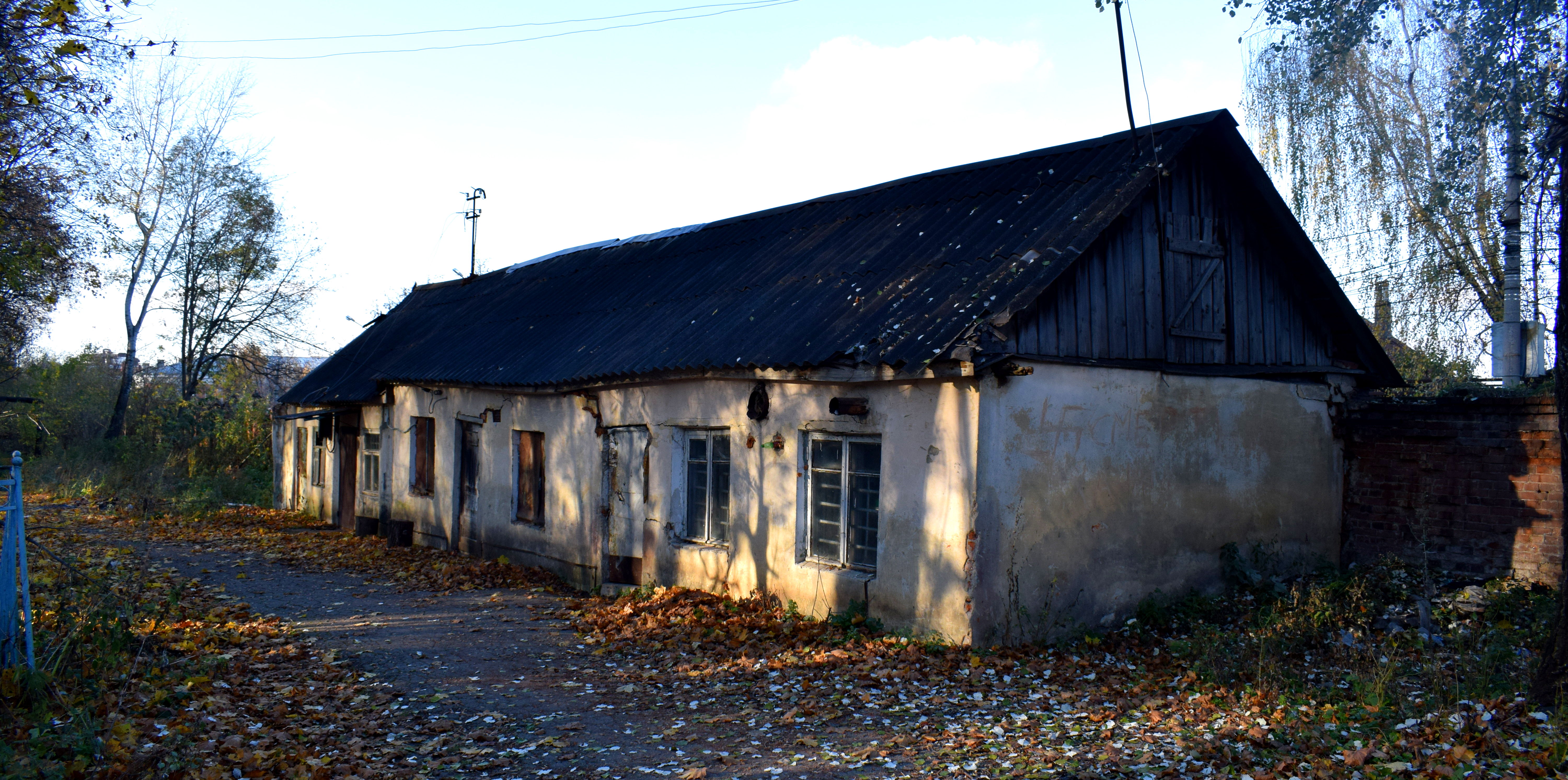 An old building in the cemetery.
 The cemetery had a distinctly creepy feeling in the October weather. It was a perfect fall day. But the cemetery felt abandoned with many of the graveyards falling apart. You can read a separate post on the topic here.
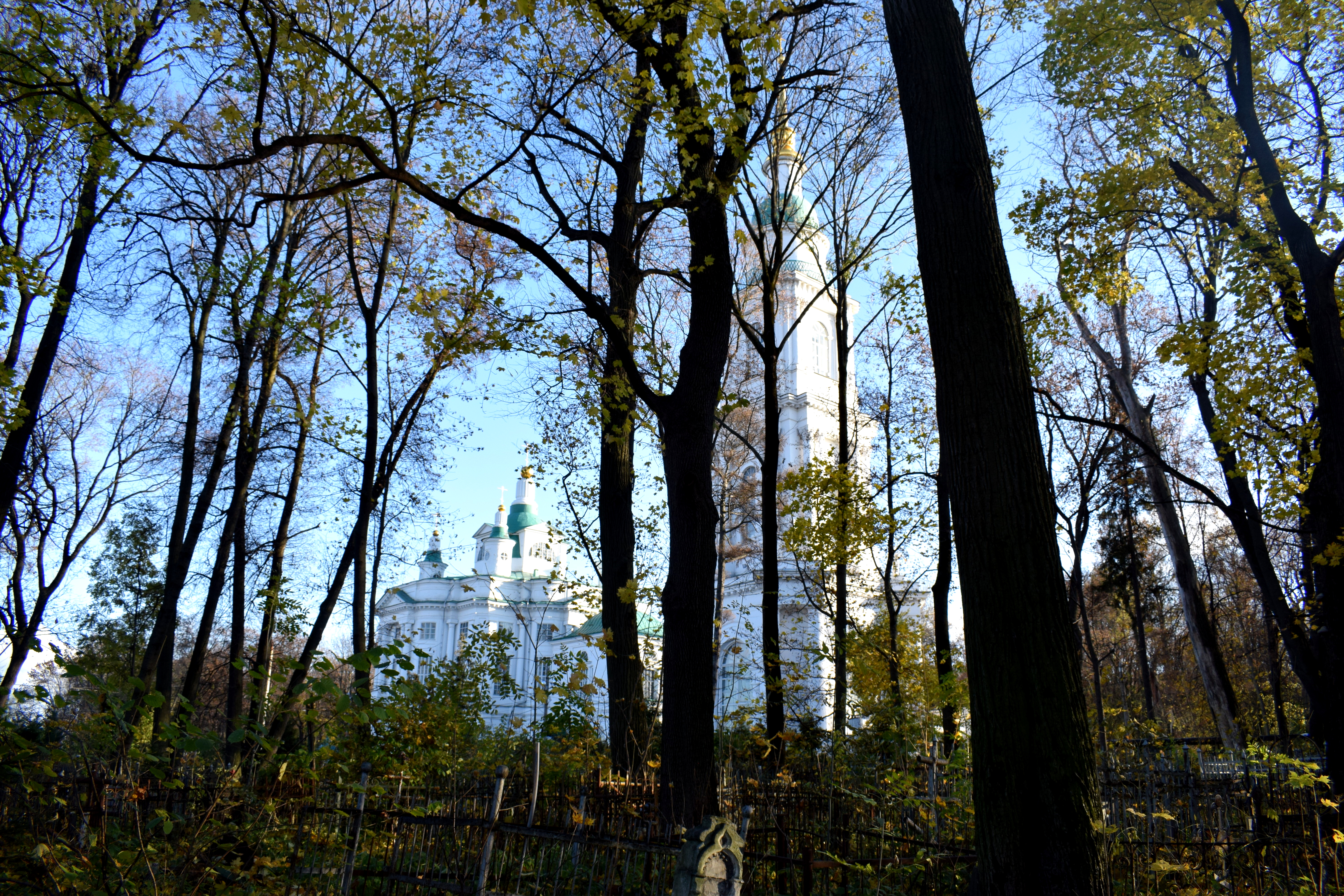
 The church and the graveyard at the top of the hill in the distance. This was probably my favorite street in Tula.
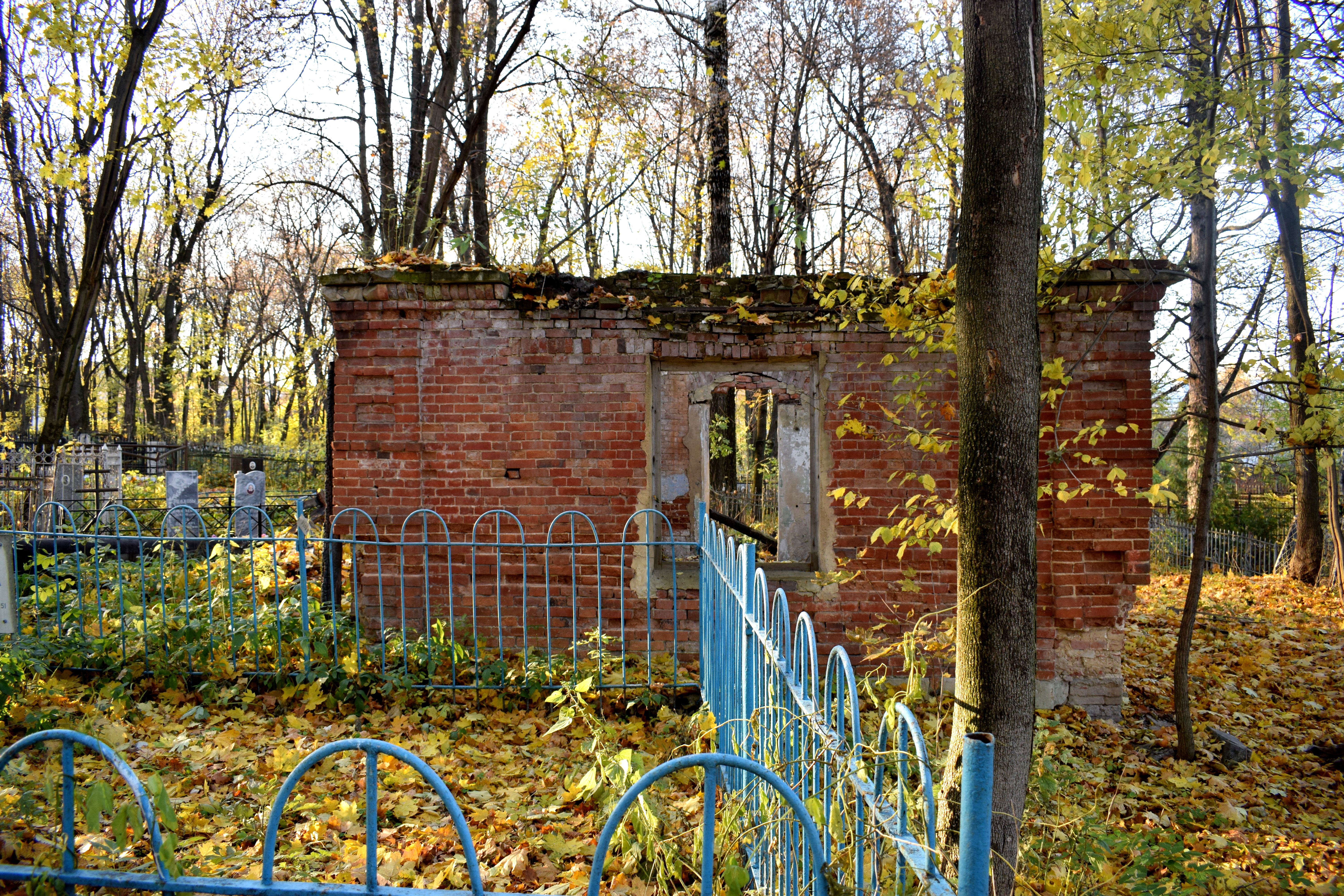
 Another old building.

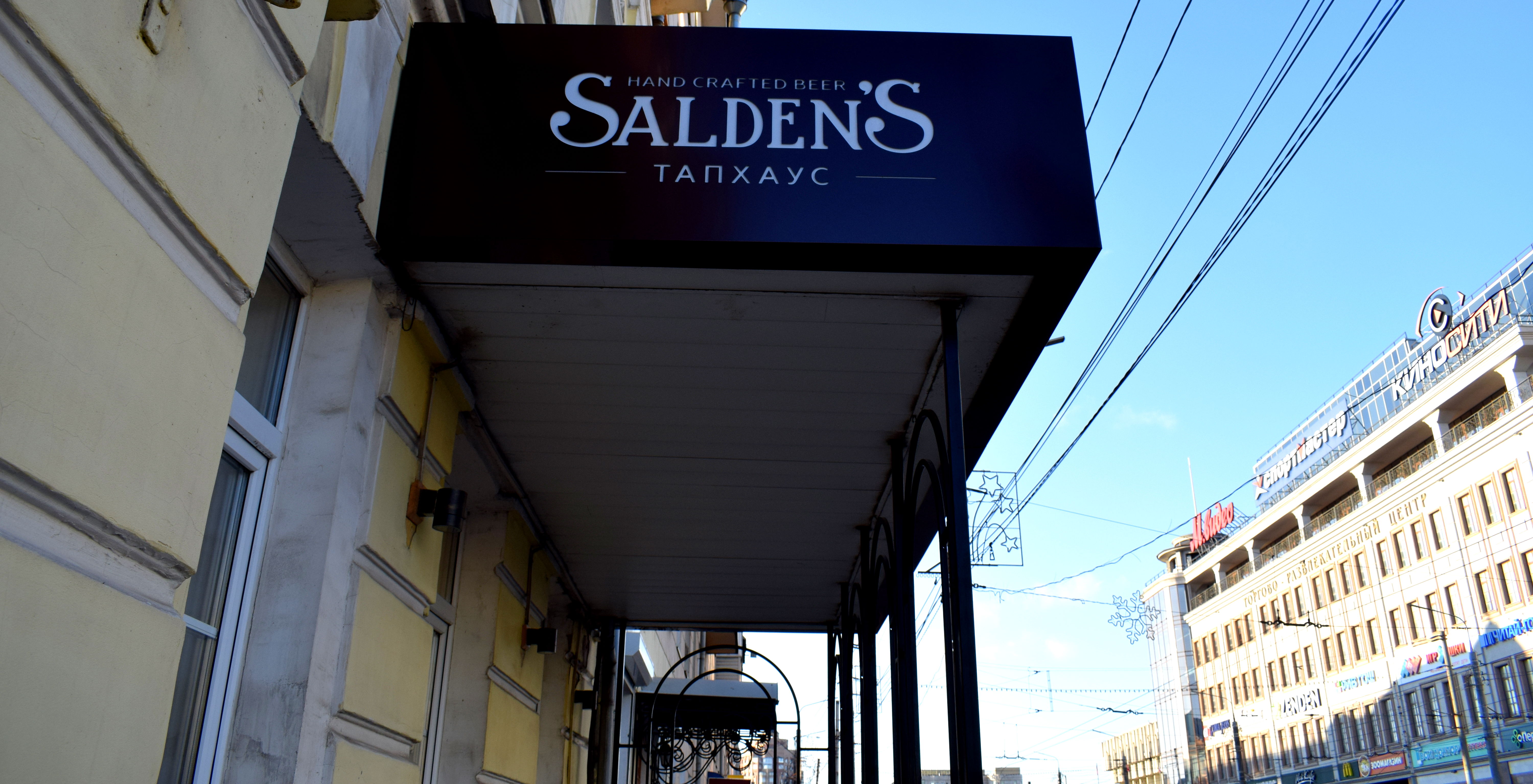 One reason we chose to visit Tula was because the city hosts the brewery to a relatively famous Russian beer called Salden’s. Although we didn’t have time to visit the brewery, we decide to try some in the city in a small store selling it.
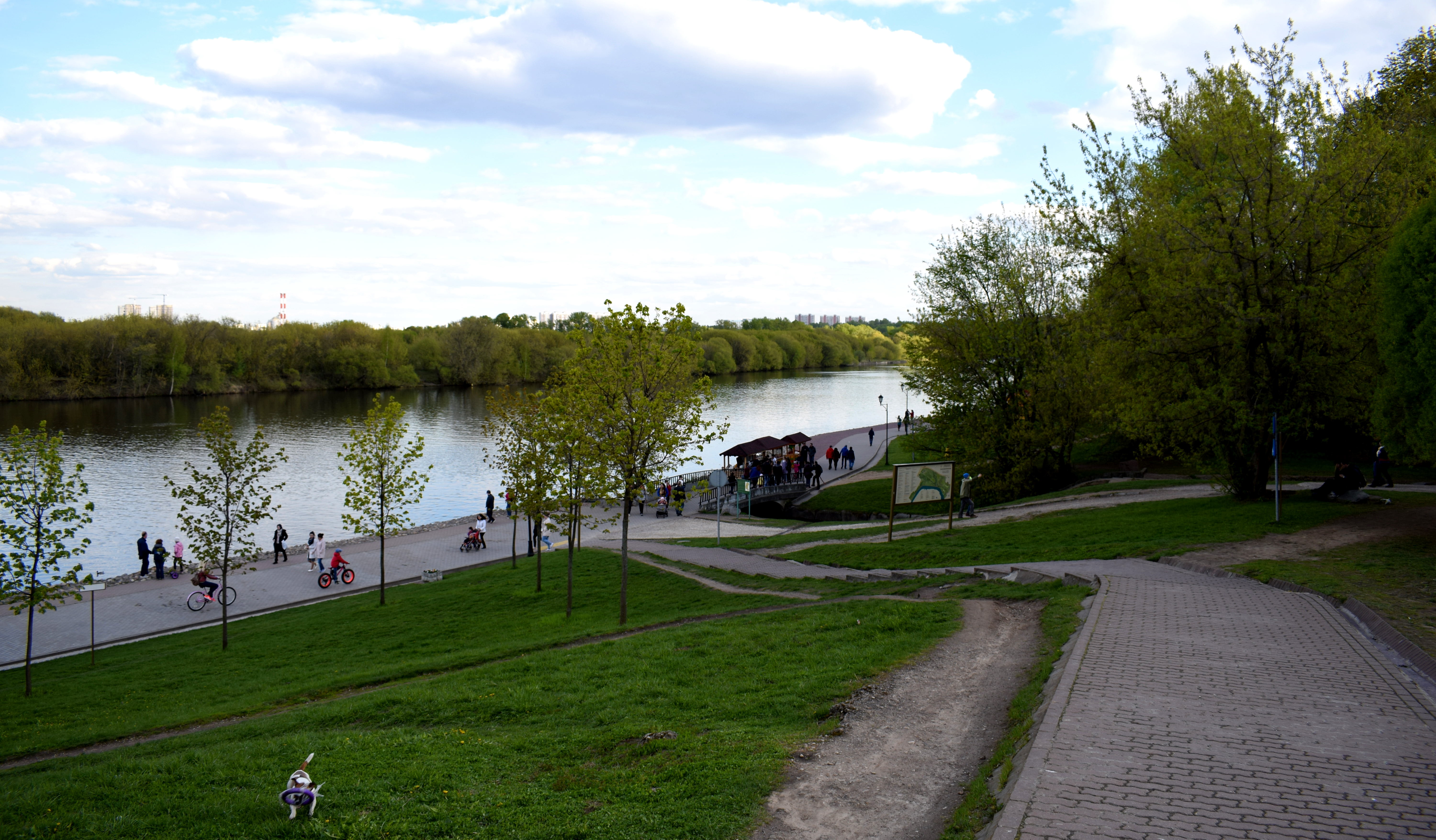
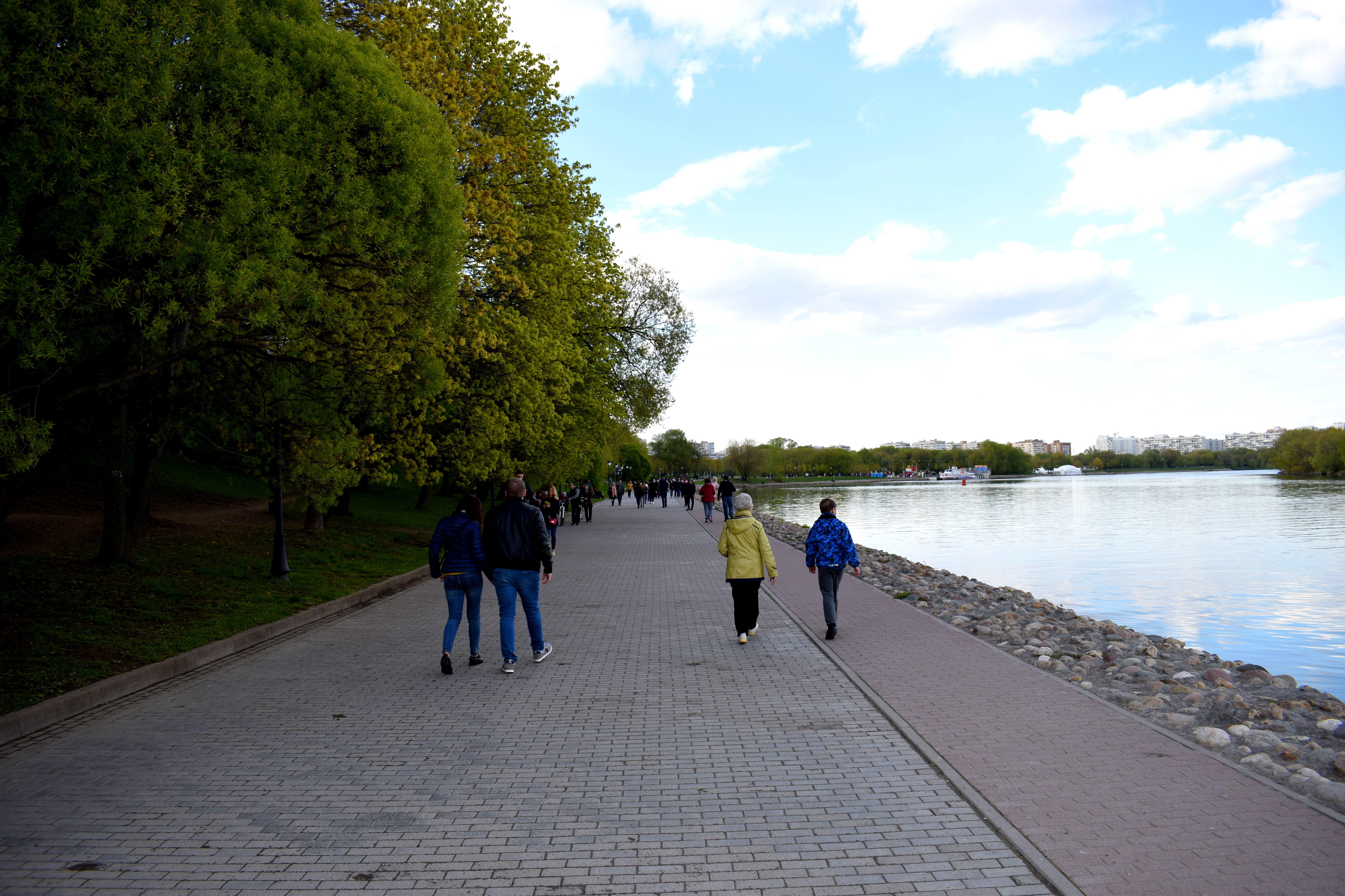
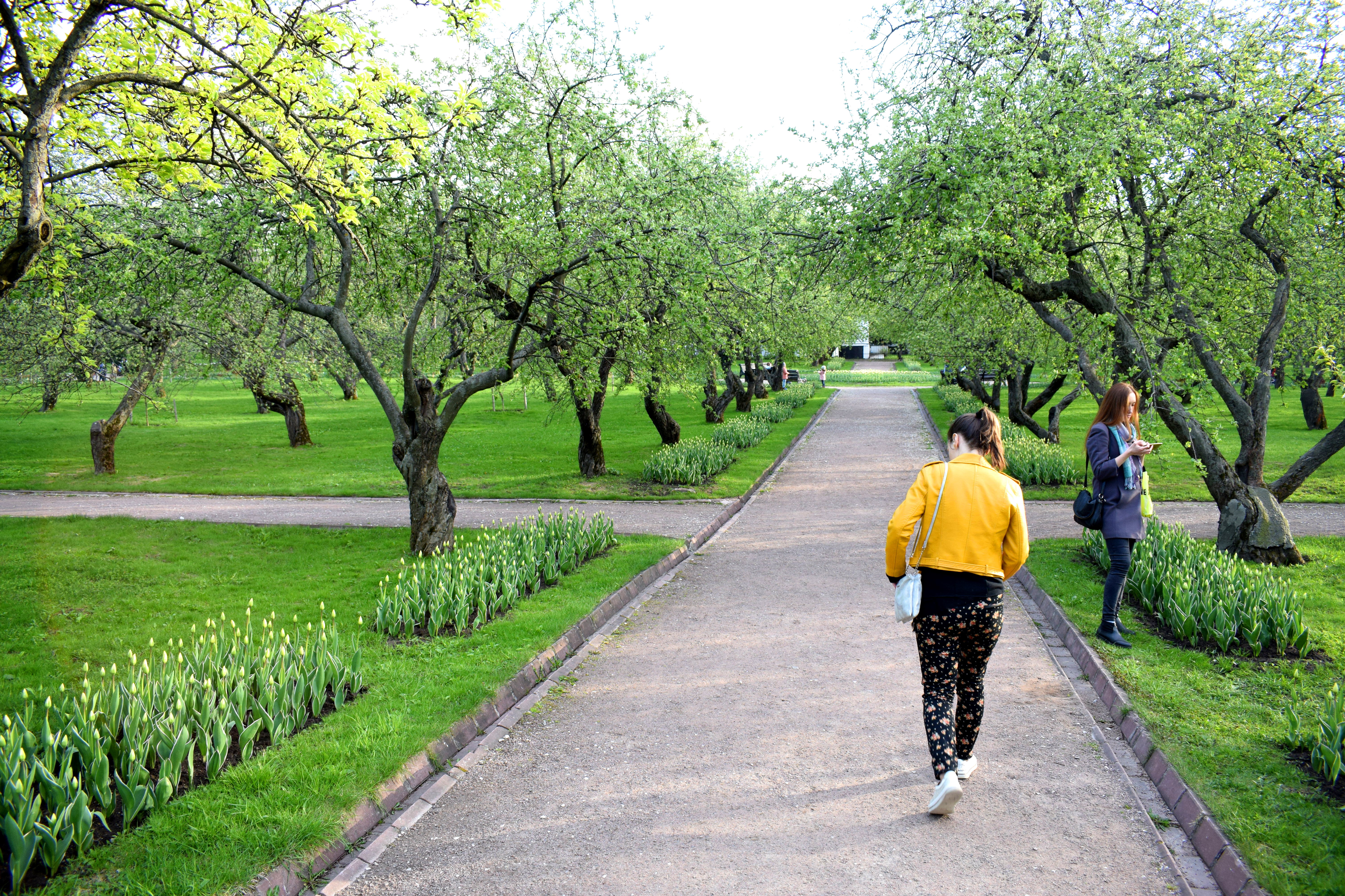
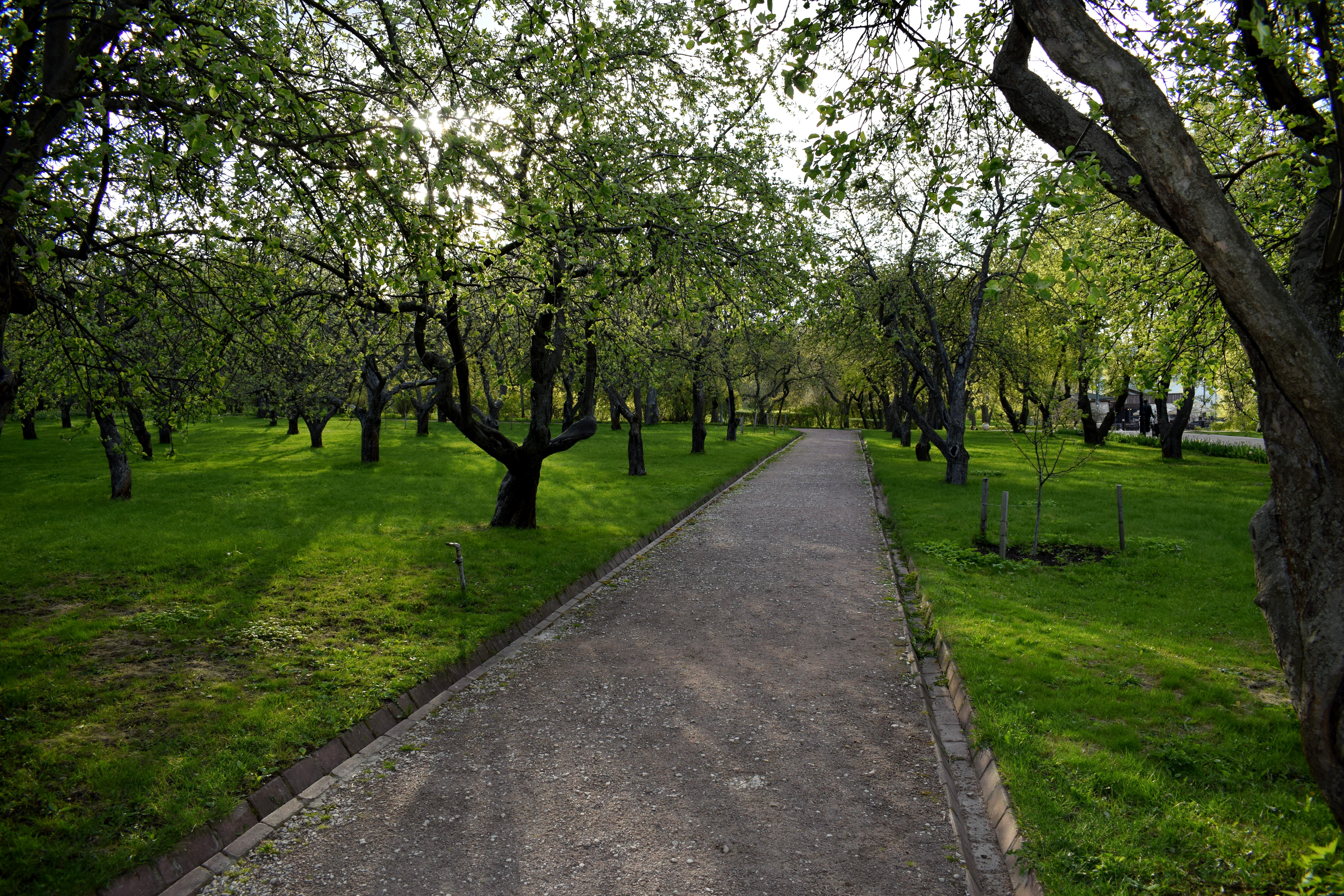
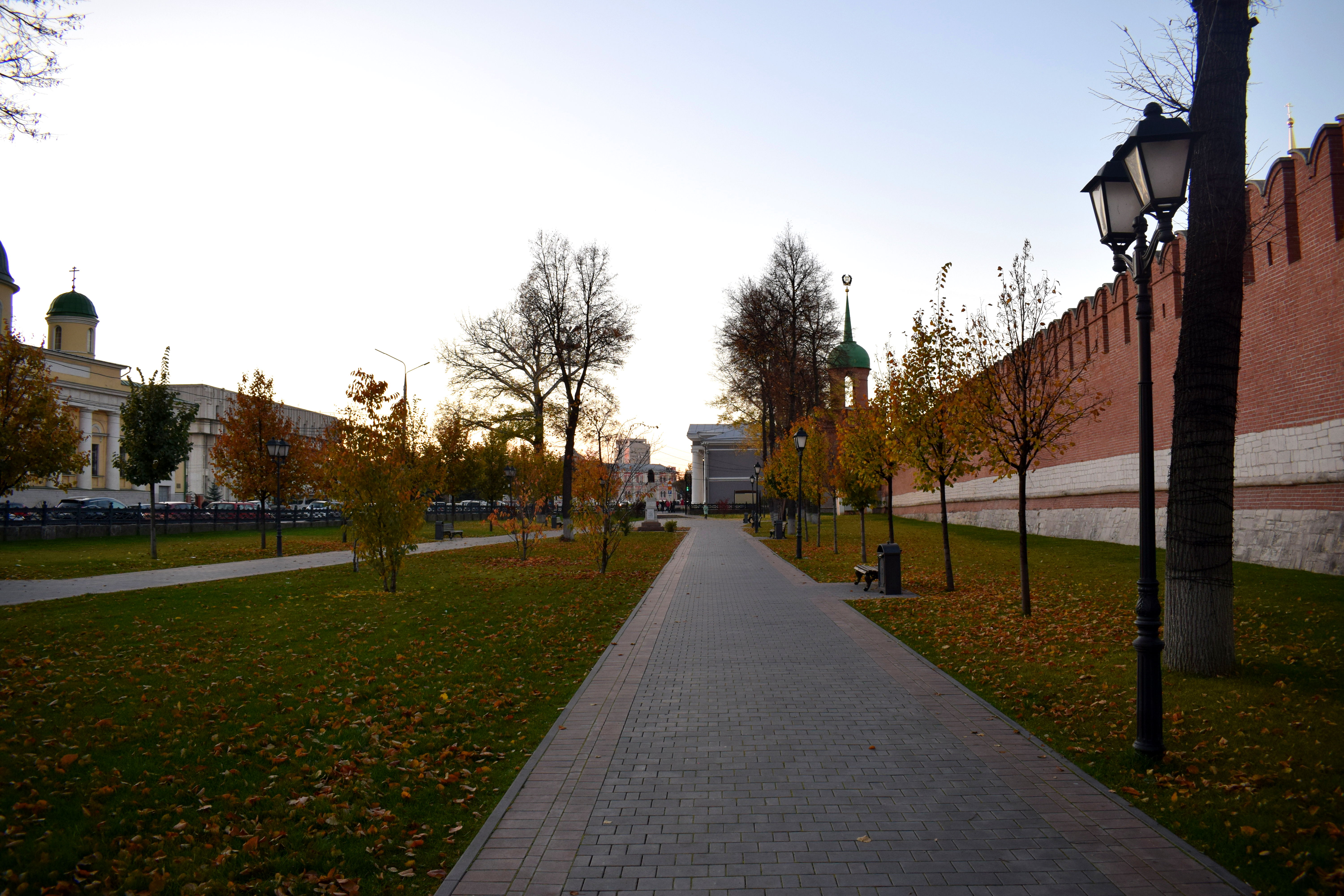
 Back near the Kremlin. The fall weather was just perfect. It was a crisp, cold October day, with Halloween just around the corner, and the Kremlin looked amazing with the leaves turning brown and falling to the ground.
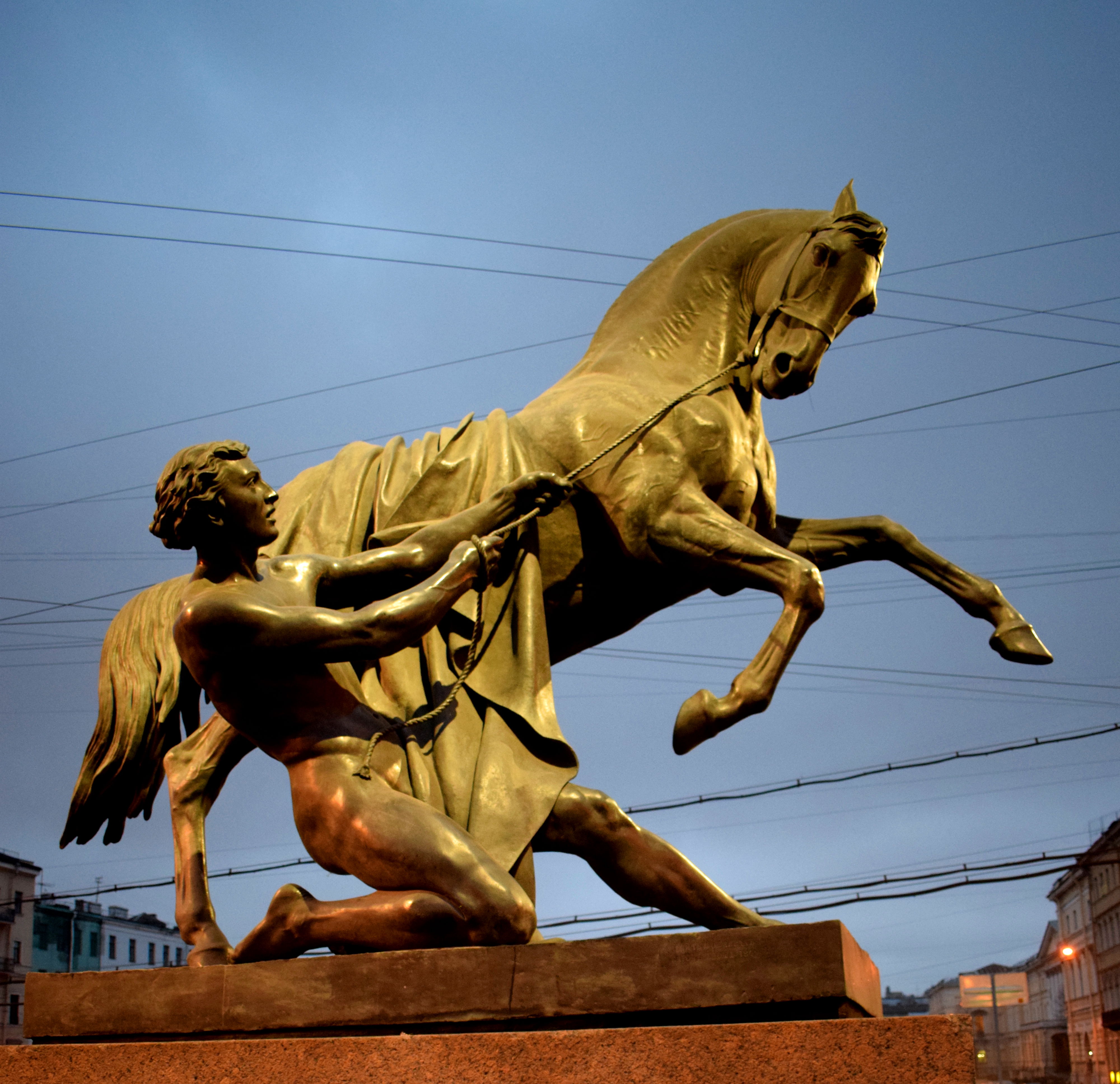
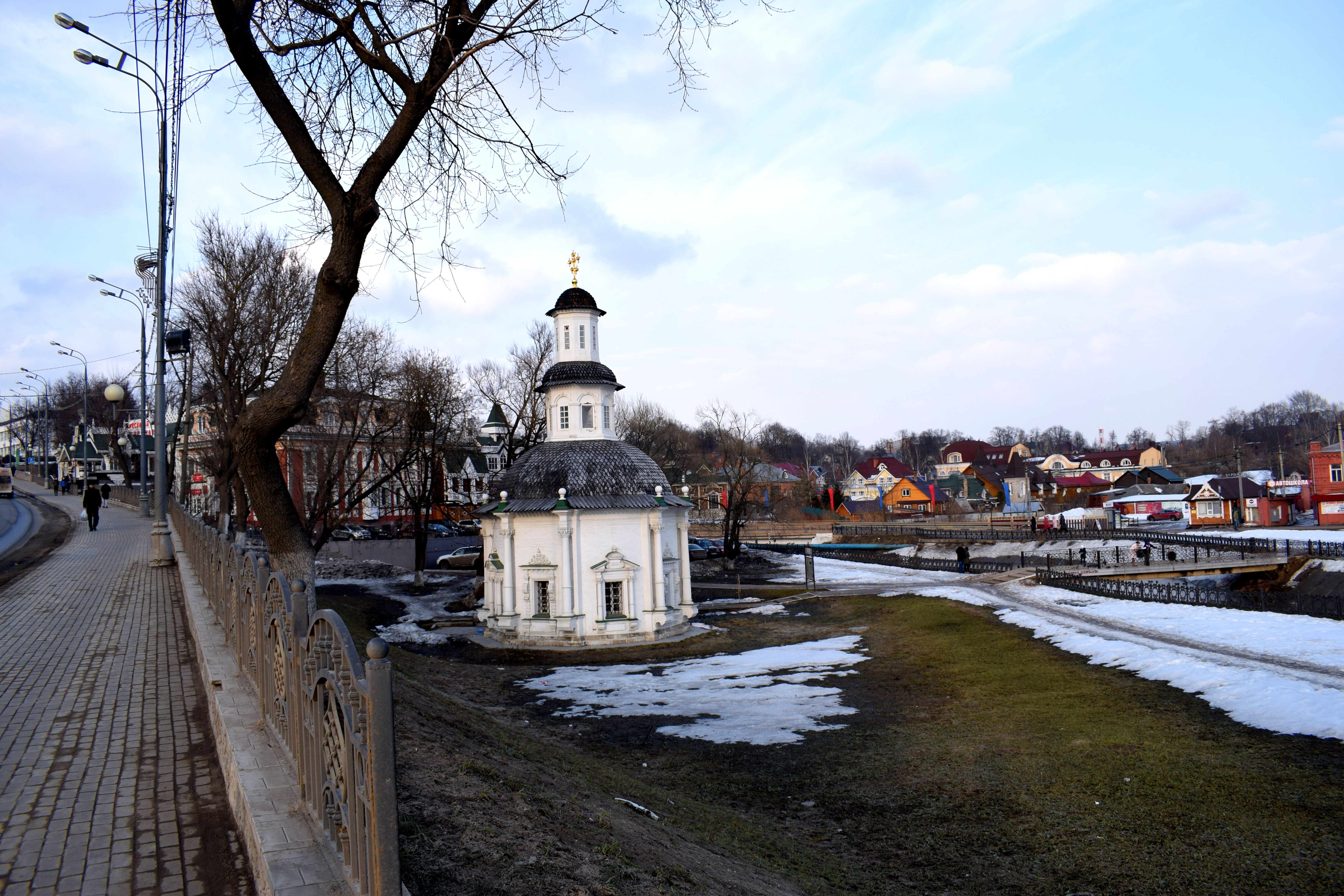
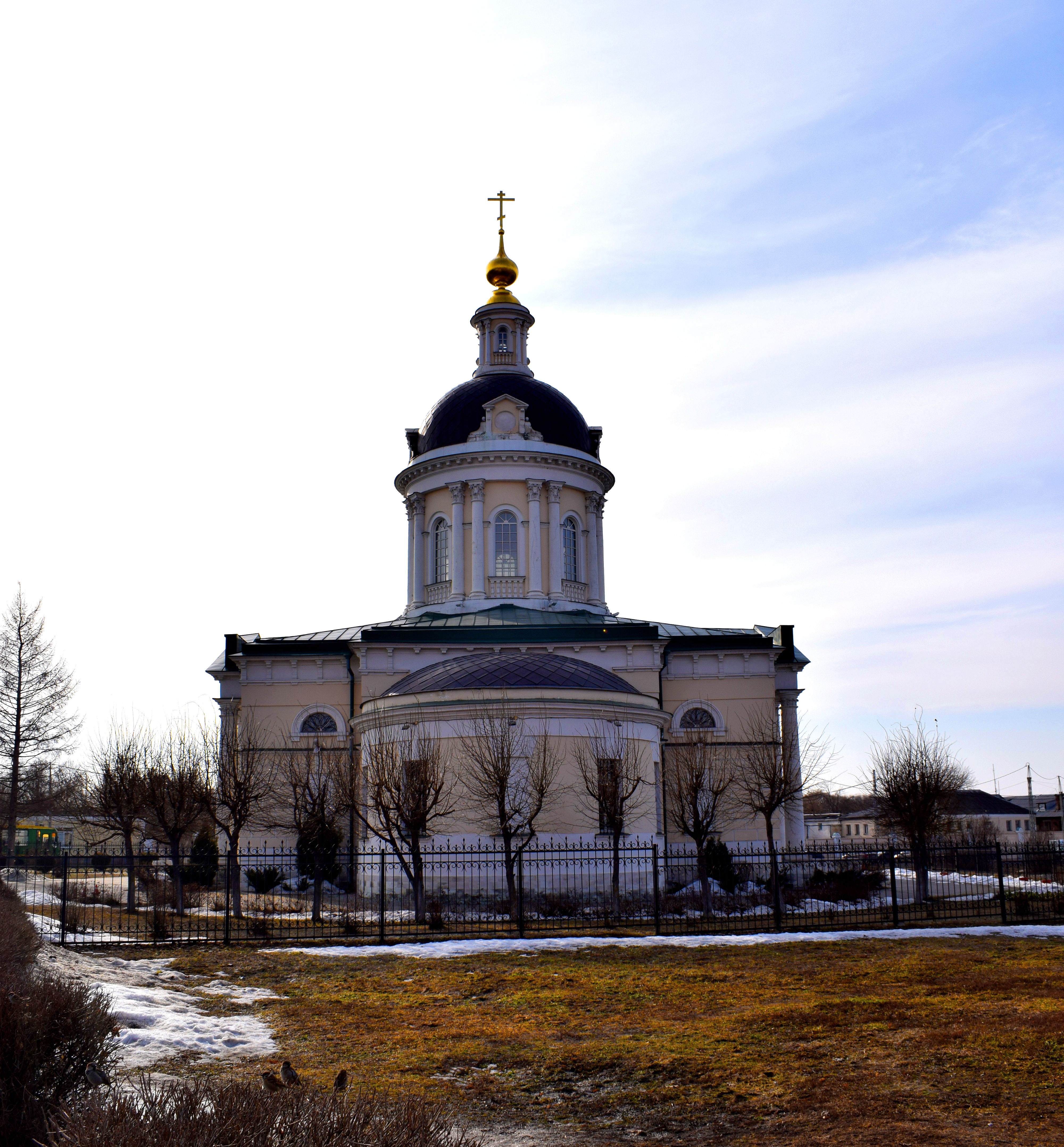
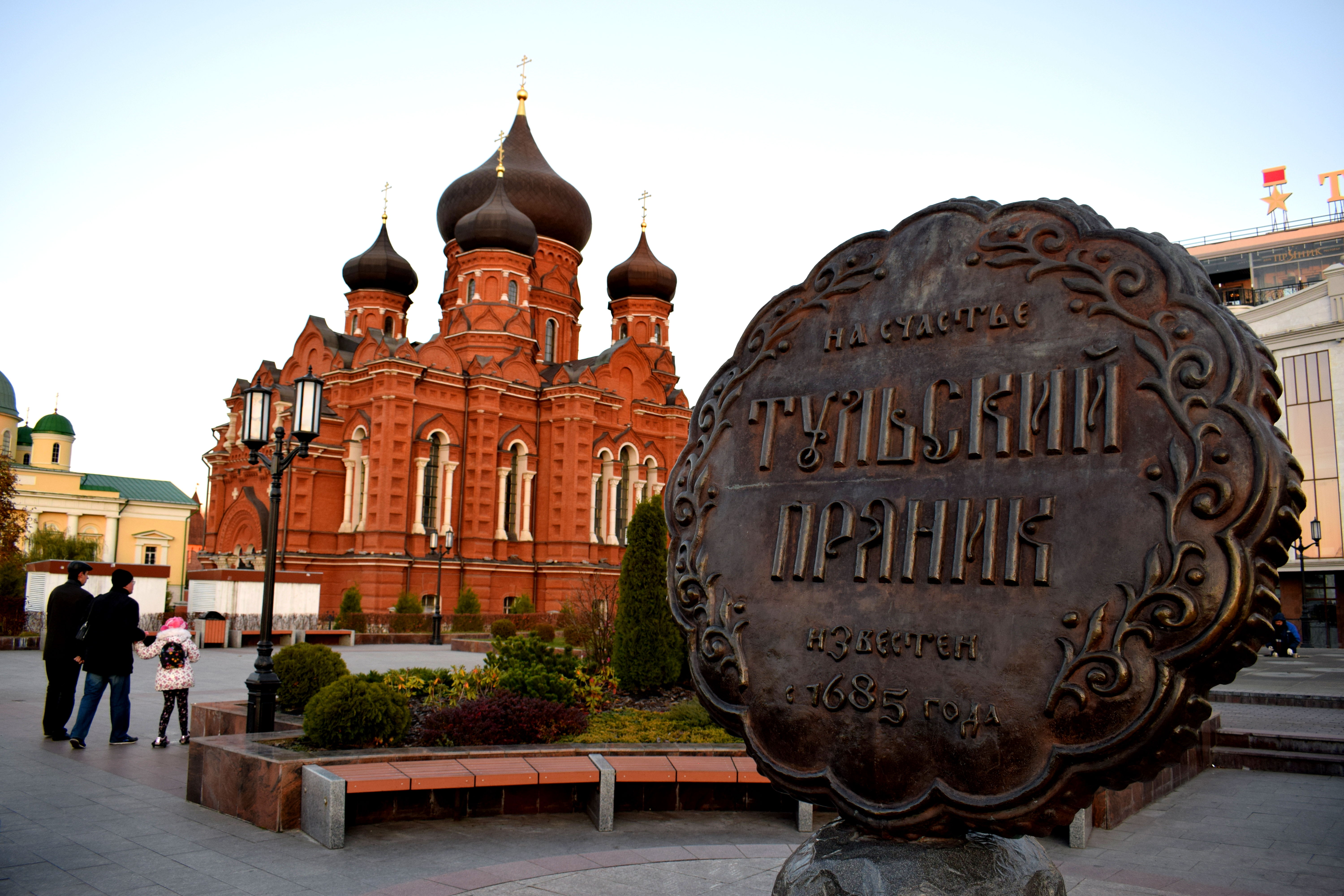 A statue dedicated to the Tulski Pryanik, or Tula Gingerbread, a desert that has existed since 1685. The Uspensky Sobor is in the distance.
 Fall in Russia is my favorite season. Unfortunately it is really short. It lasts for just one month, typically from the second half of September to the first half of October. After that the weather gets significantly colder.
 In these photos you can see the Russian autumn in all its beauty.
 Incredible.
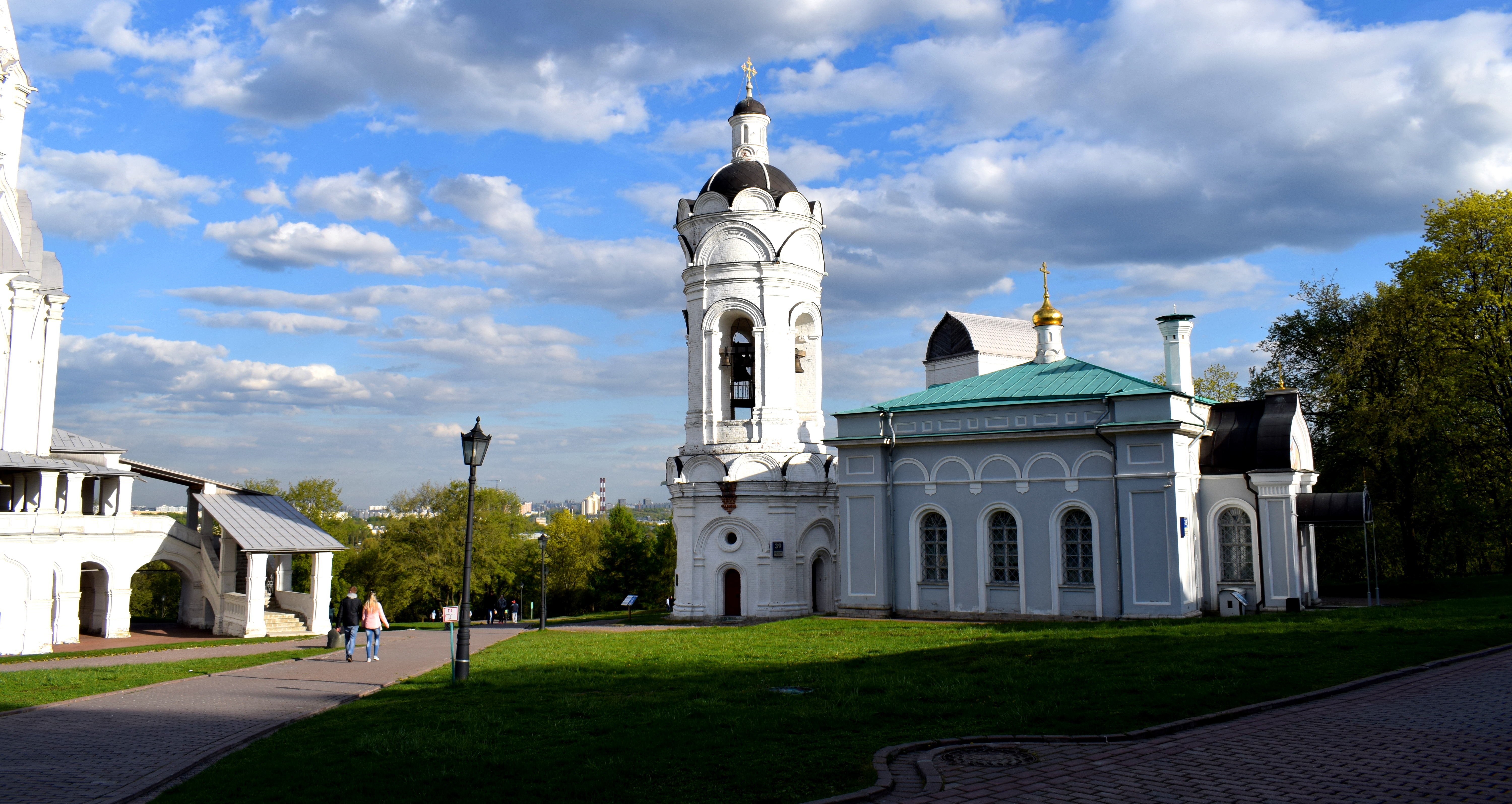
 Tula’s Kremlin is one of my favorites in Russia. One reason is that it is actually open to the public, unlike the Moscow Kremlin. Moscow should learn from Tula and open up theirs to the public as well instead of charging people 700 rubles to go inside. Before the Bolshevik revolution in 1917, the Moscow Kremlin was open to the public and anyone could visit it.
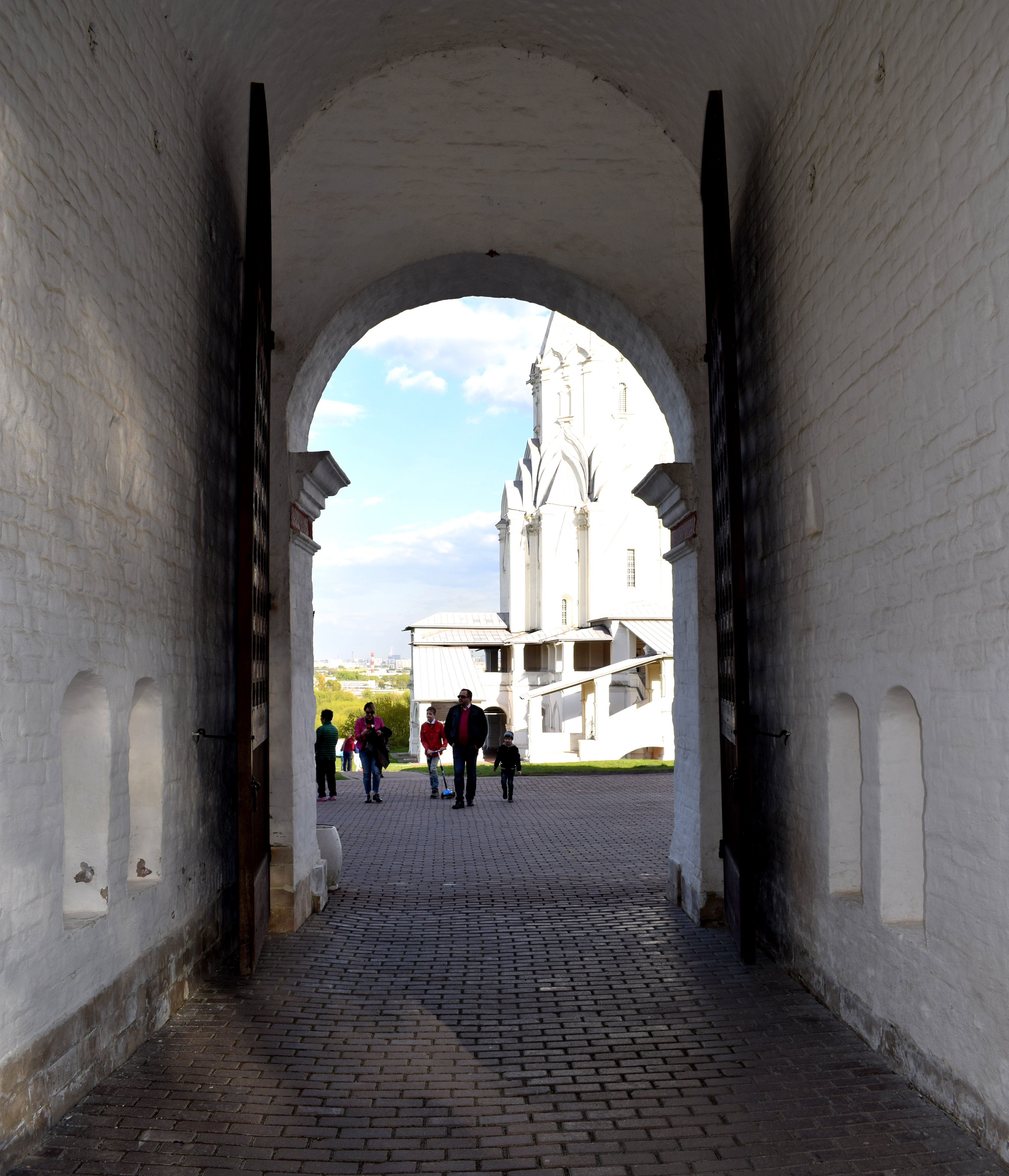
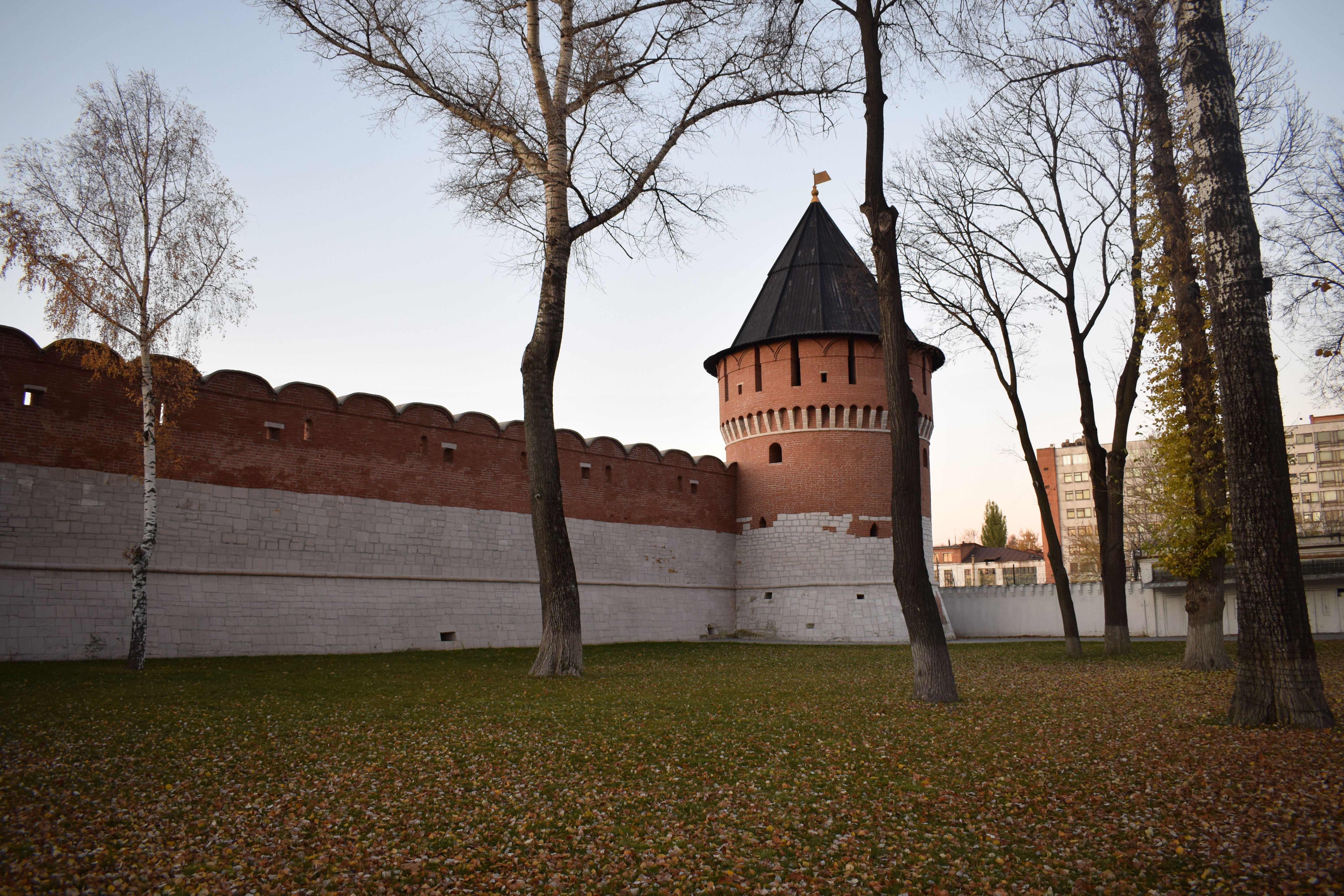
 The back entrance to the Kremlin.
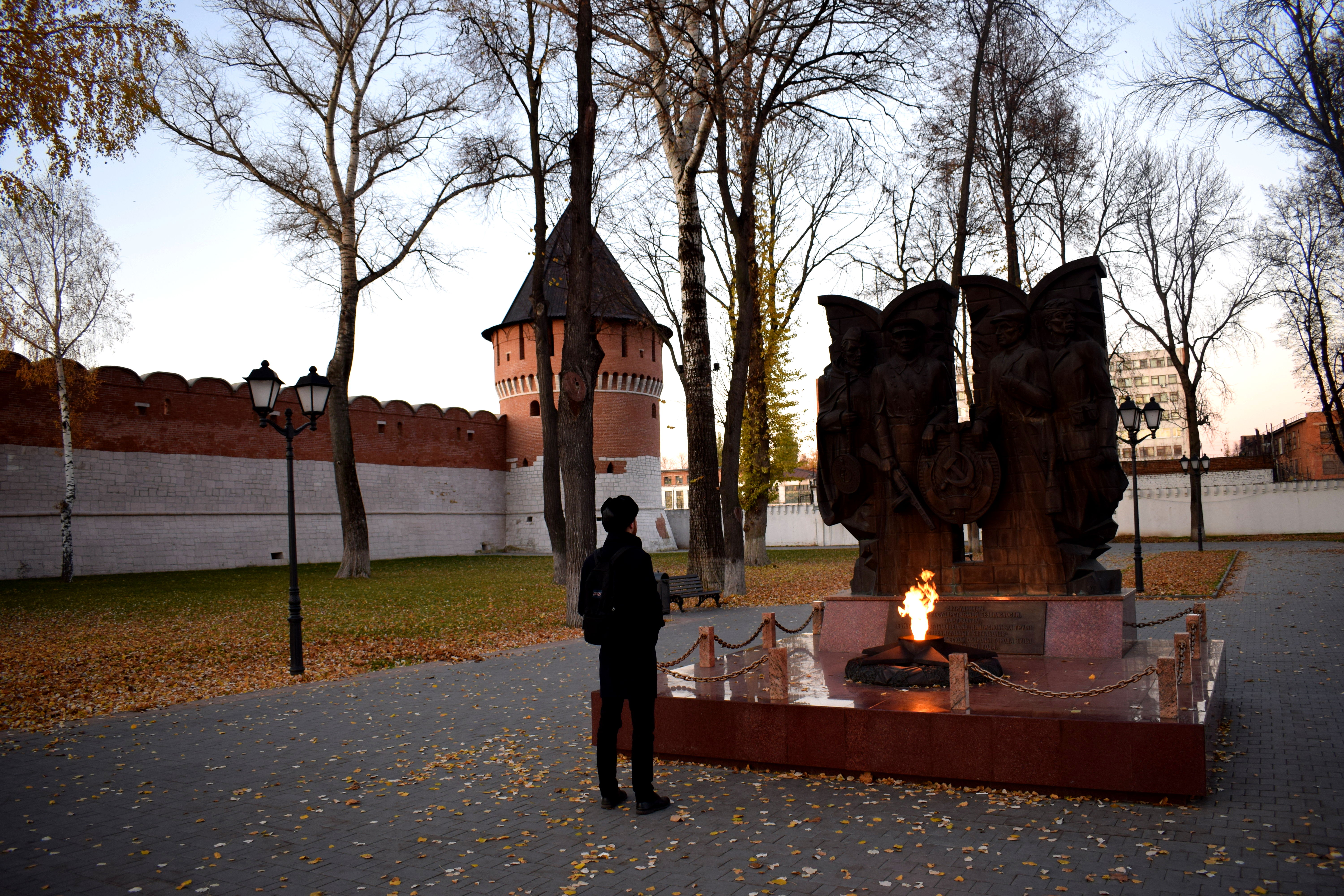 A monument to the fallen soldiers in WWII.
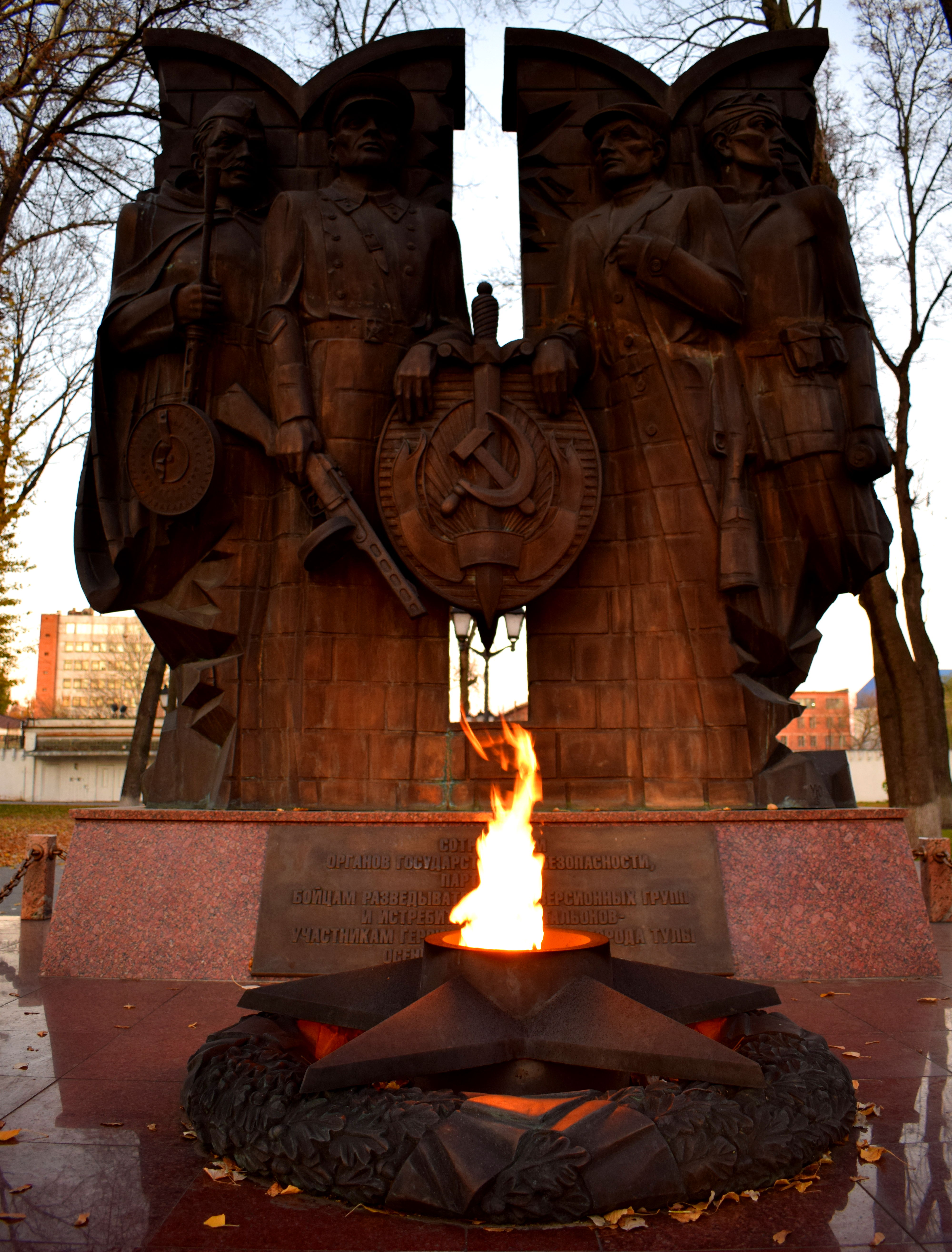 There was an eternal flame at this monument, just like most Soviet monuments dedicated to WWII.
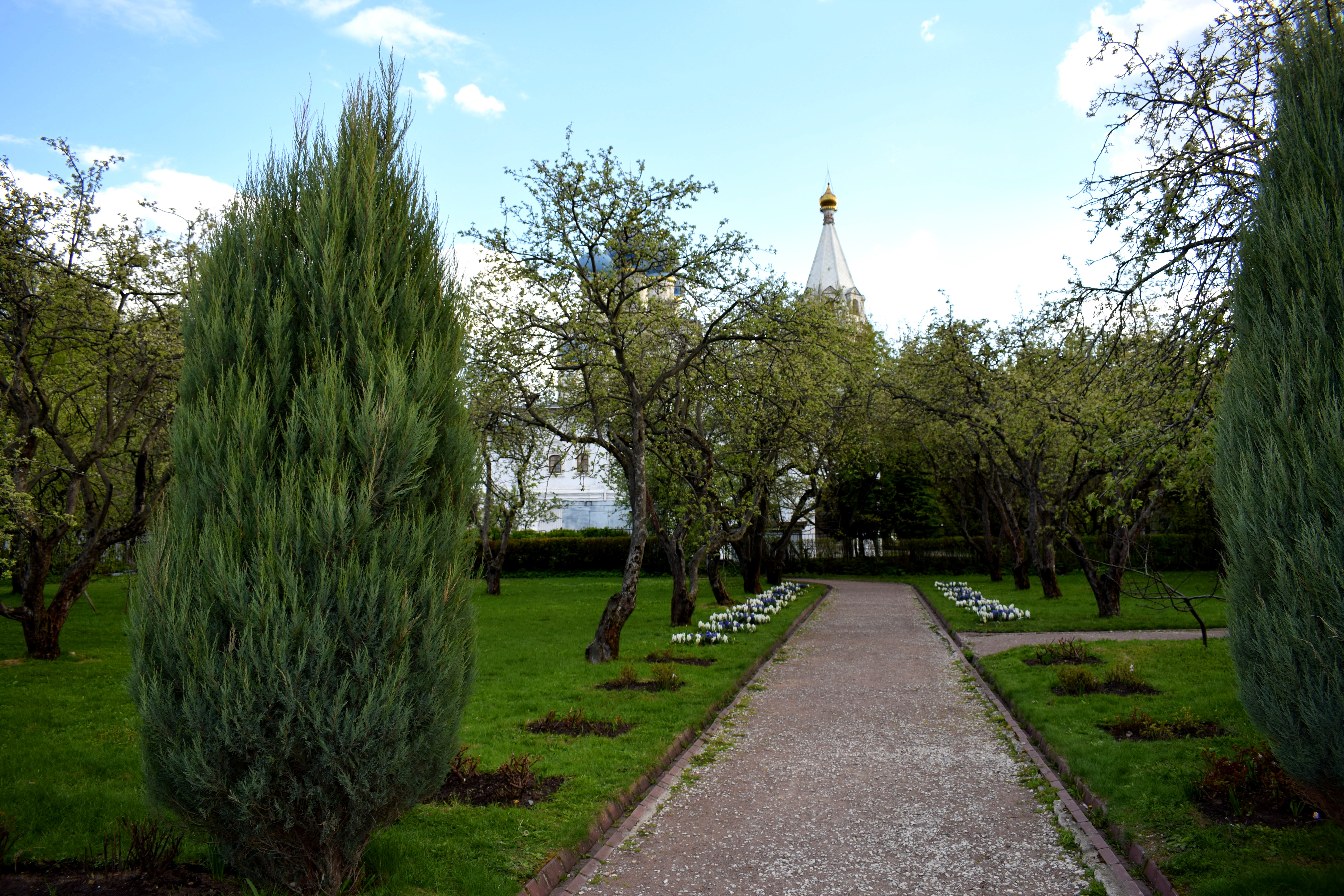
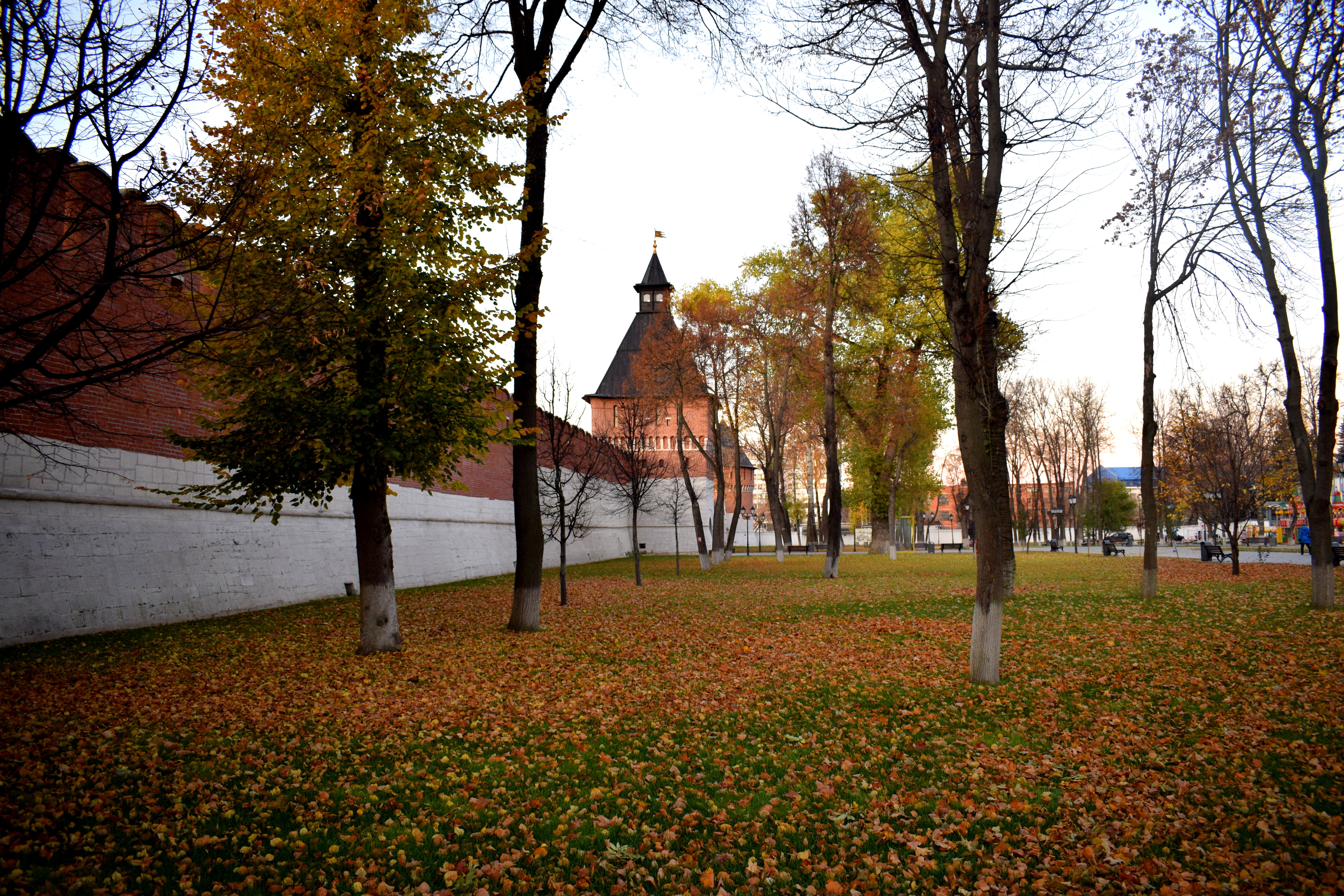
 Fall in Tula is so picturesque with the Kremlin in the background.
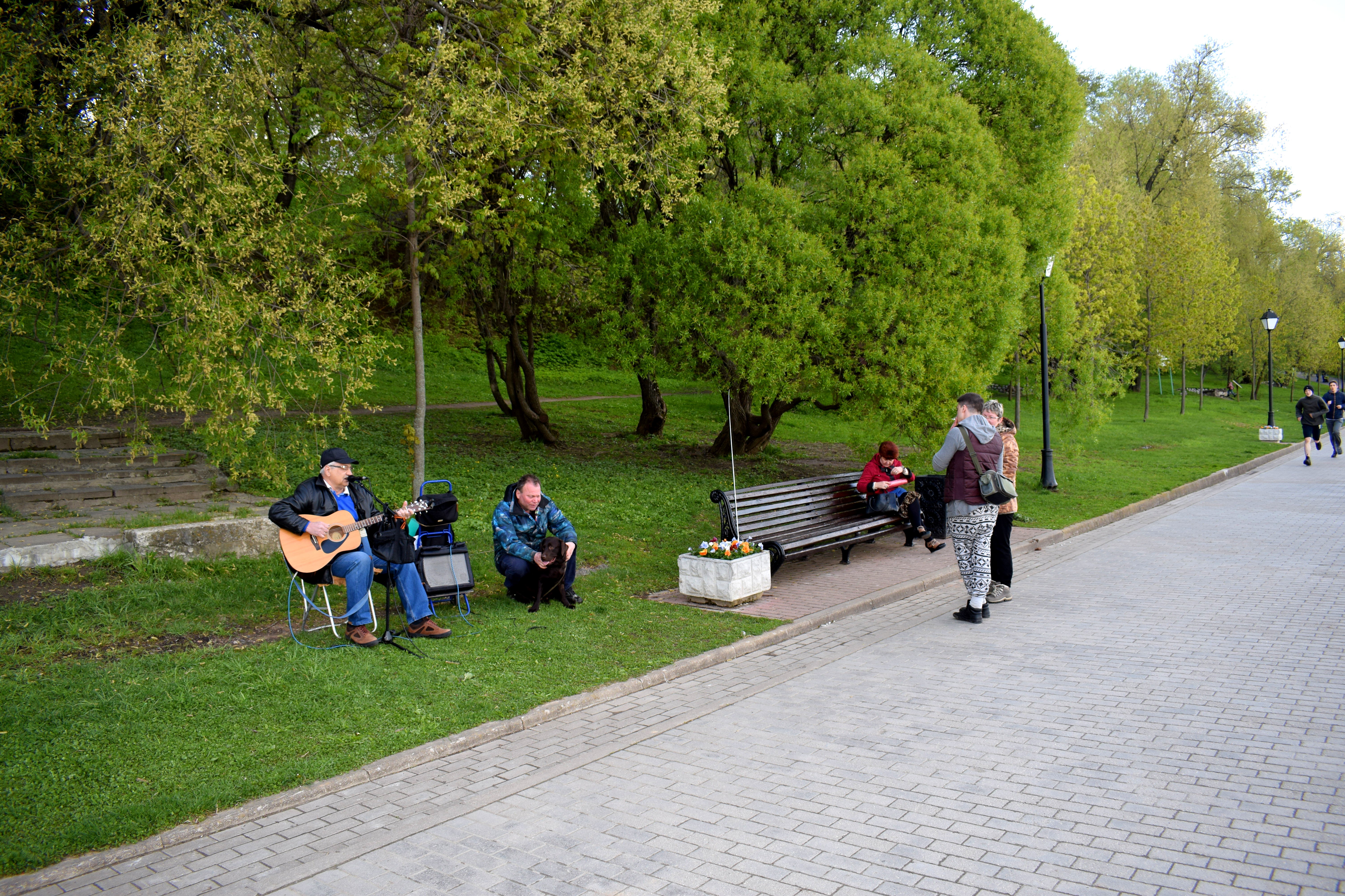
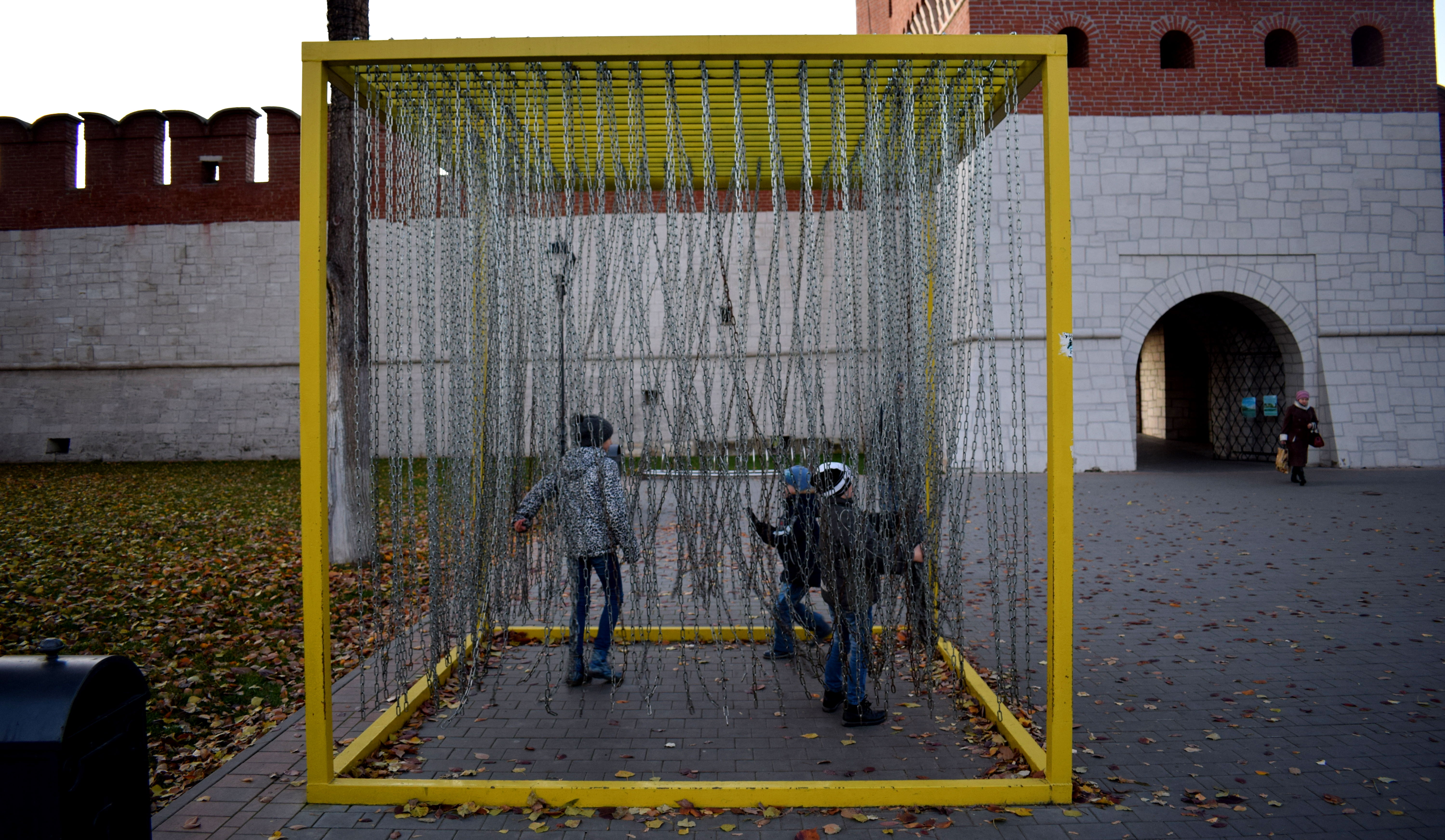 Kids playing.
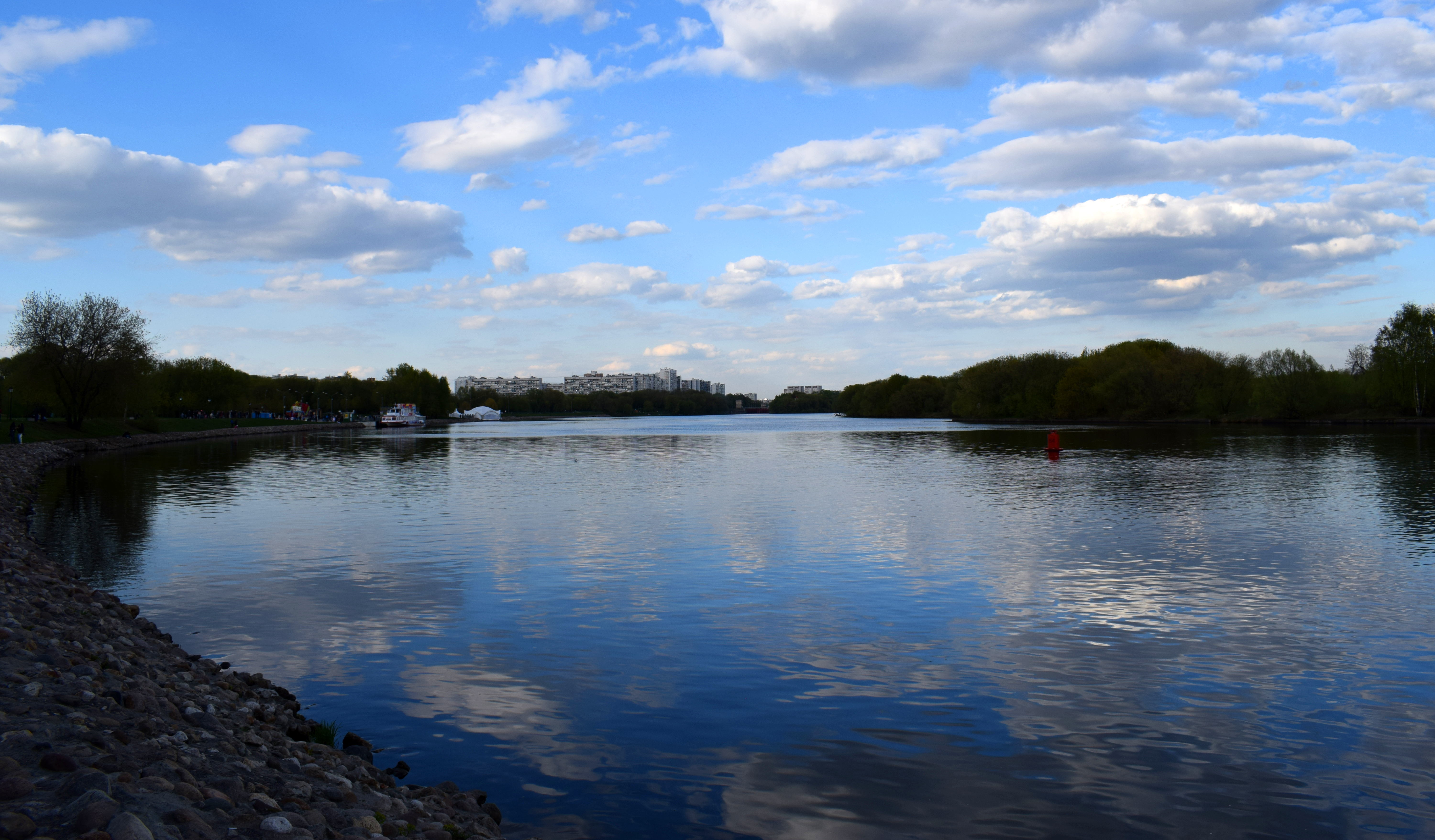
 Looking back out at the city.
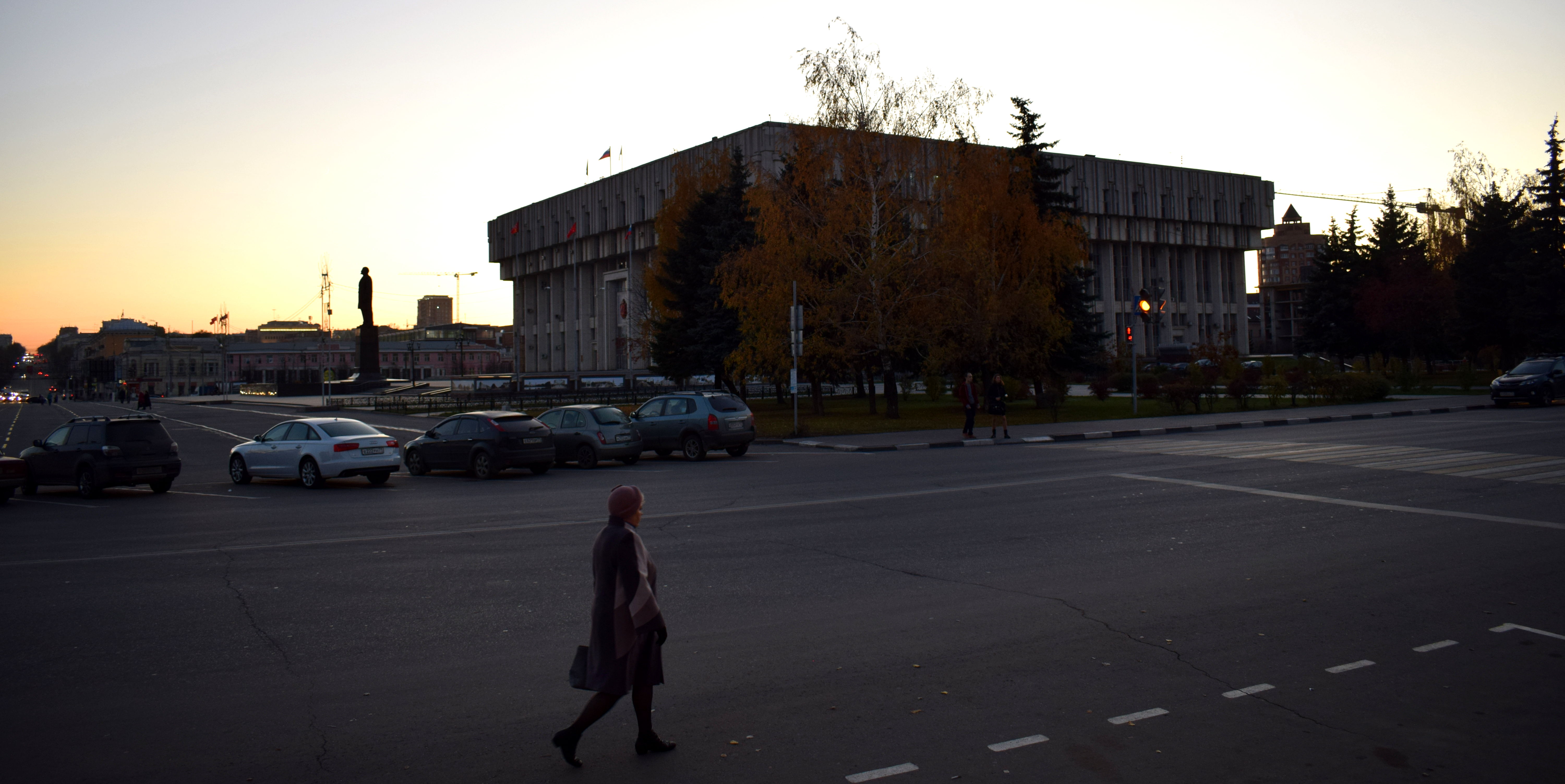 A final look at Tula’s administrative building before the sun set. This was definitely the ugliest building in the city. In my opinion, they should do bring back the church that used to stand there.
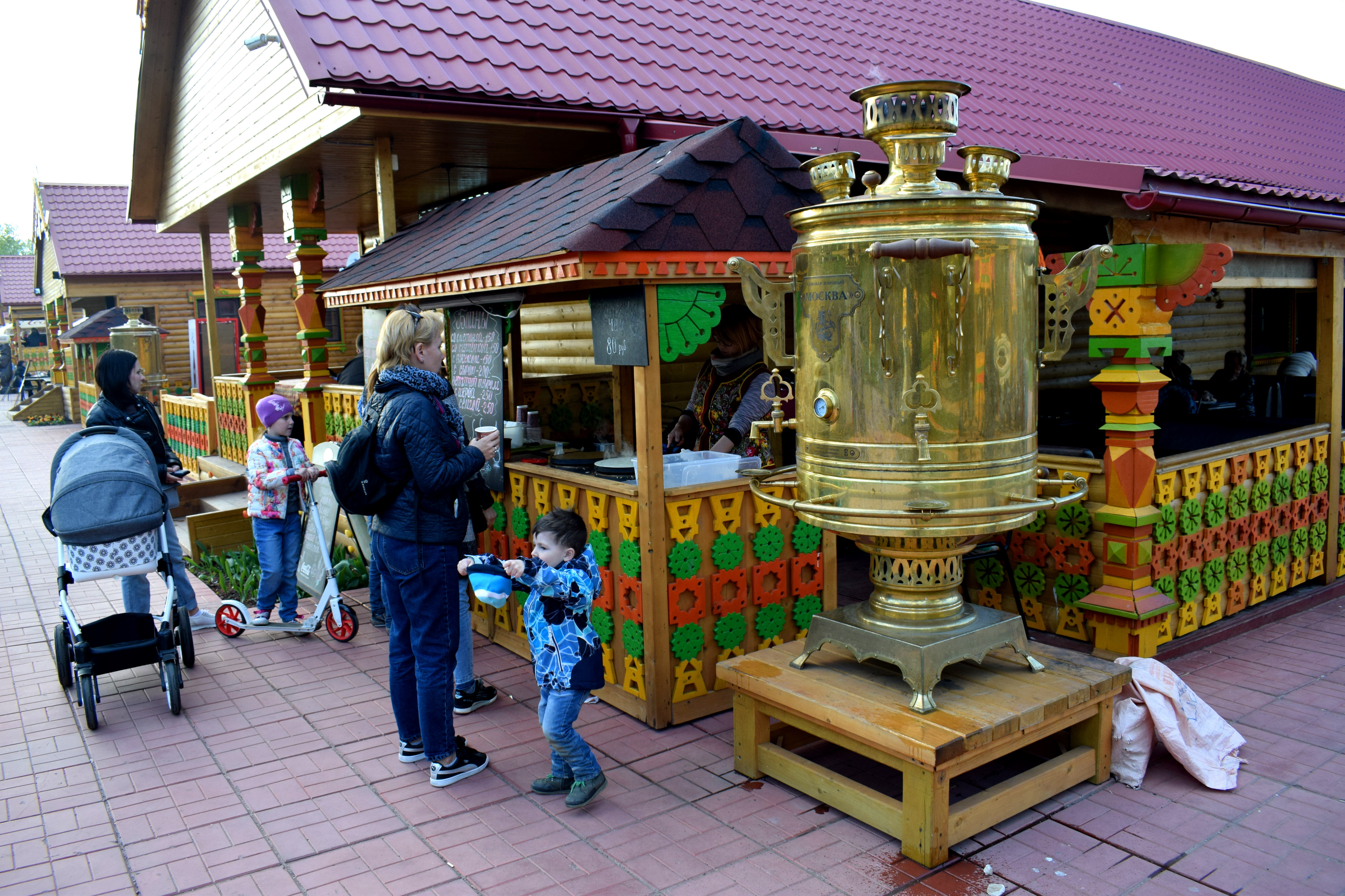
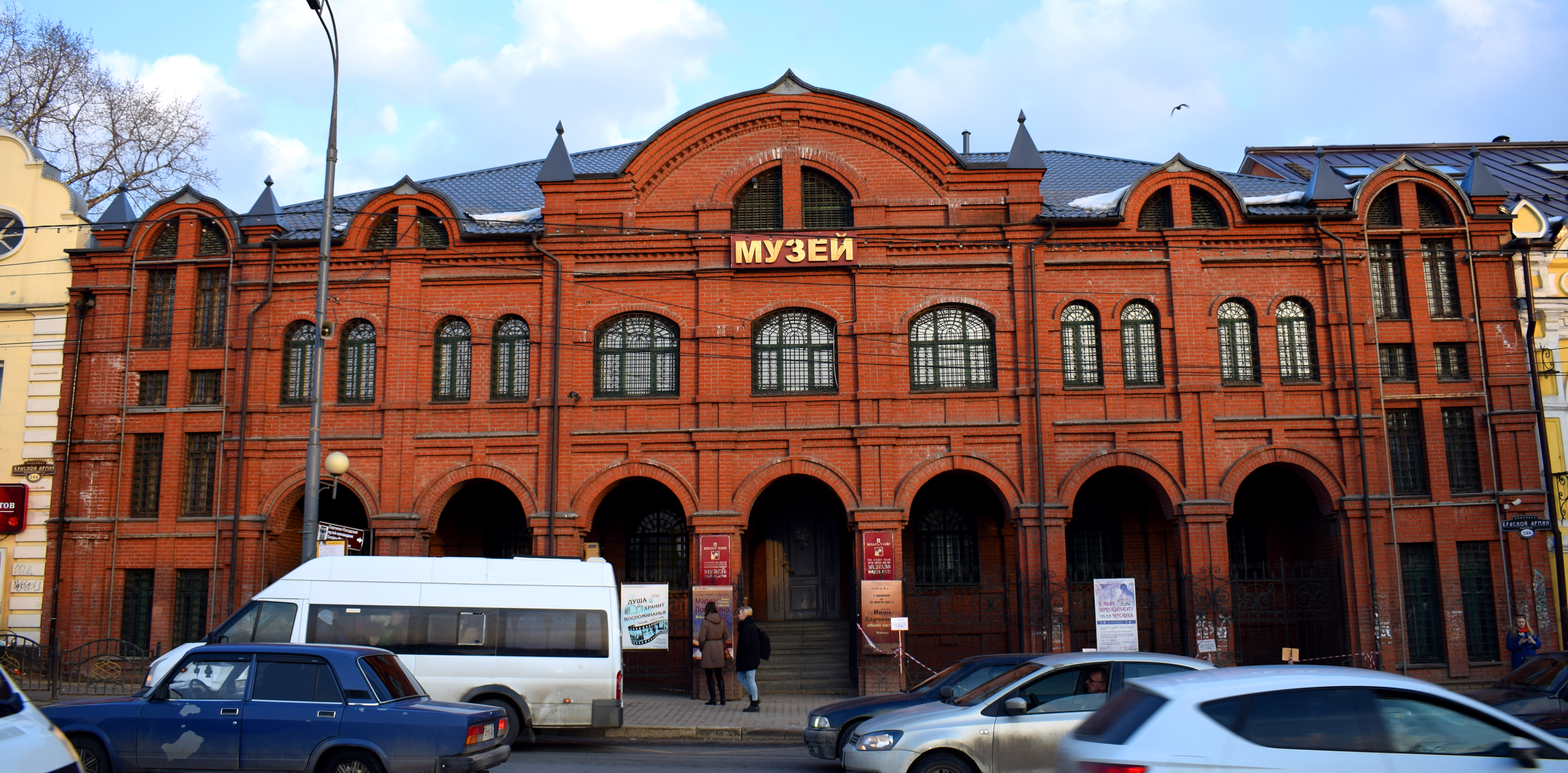
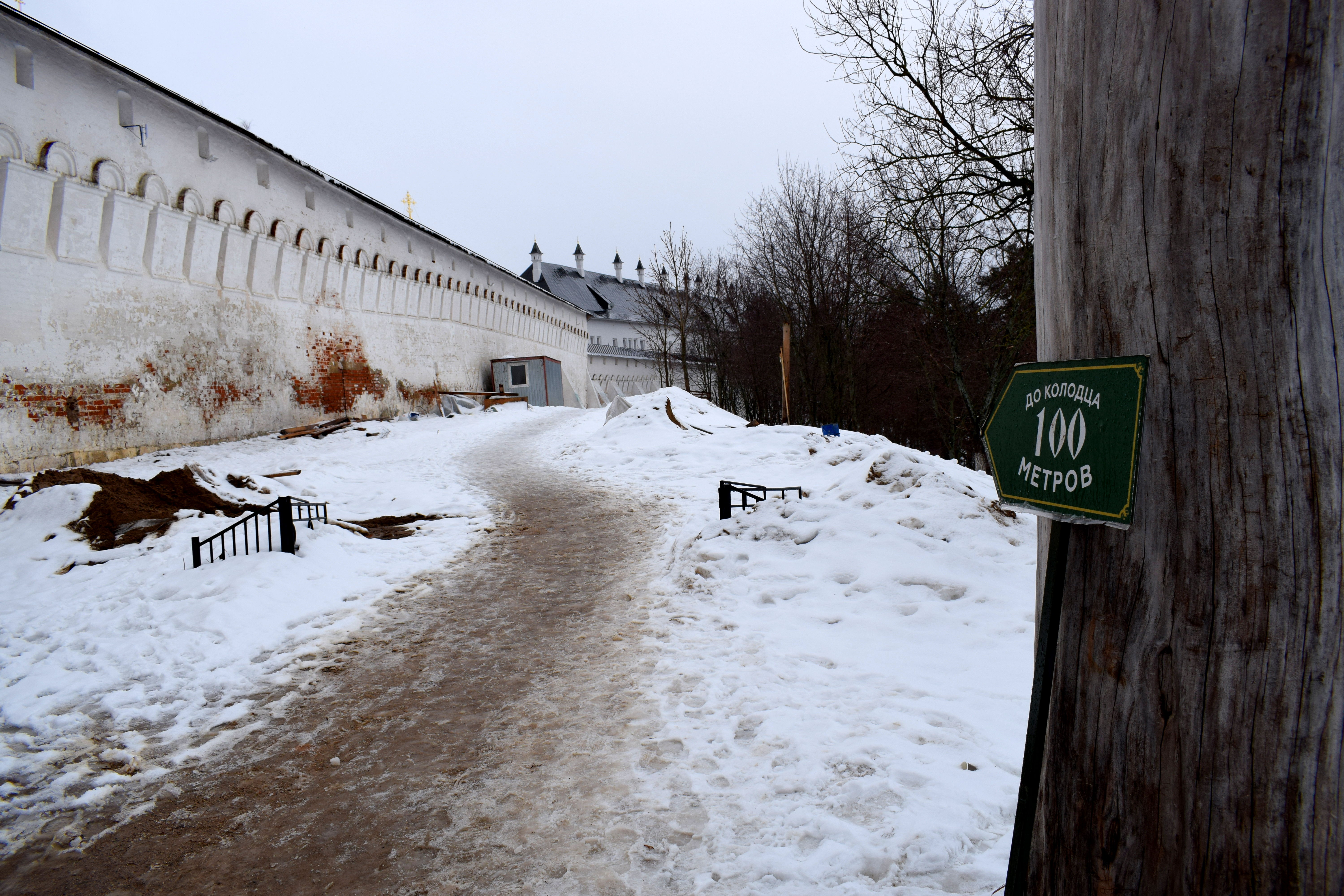
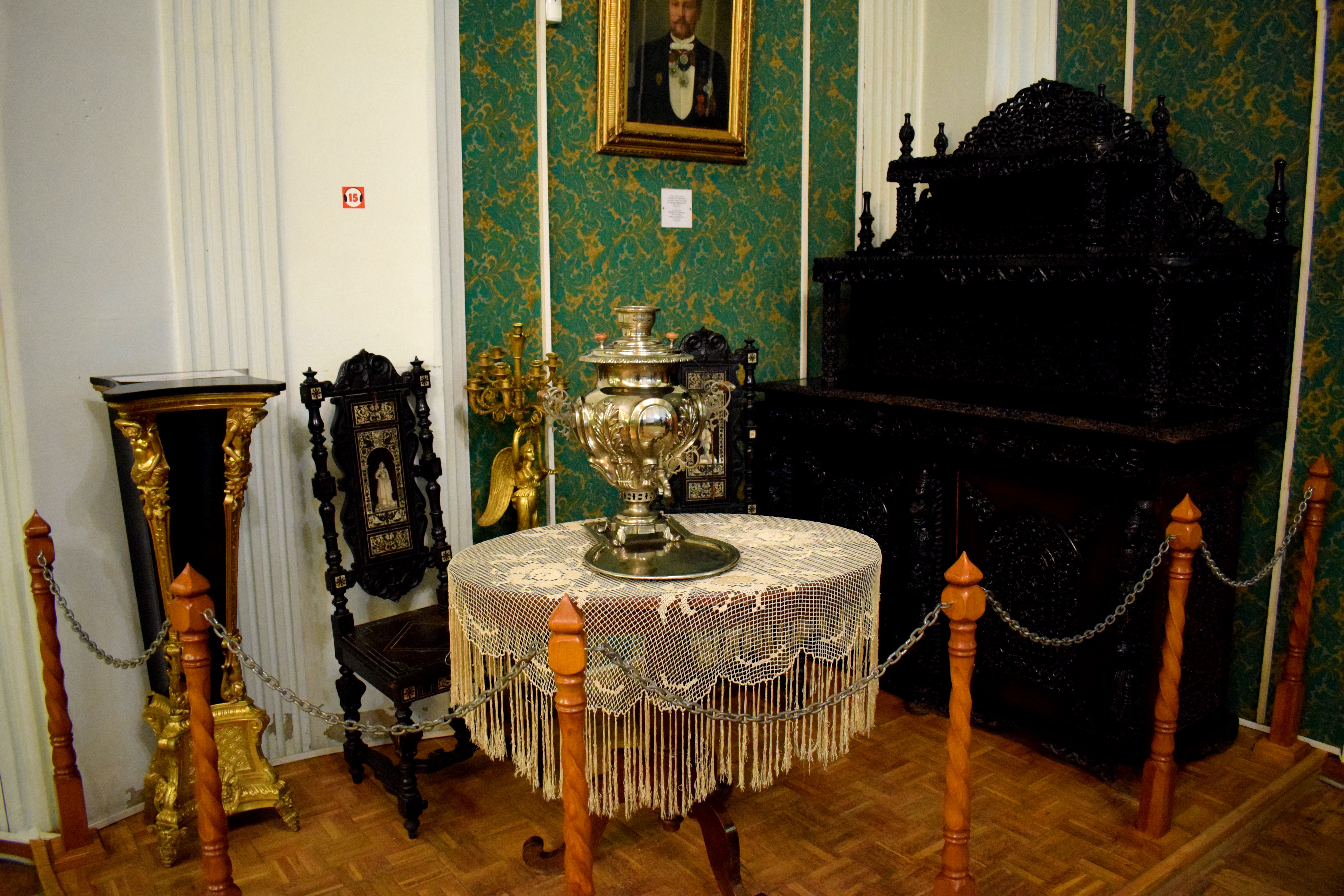 We finished the day by visiting Tula’s Samovar museum. It was a modest little exhibition that displayed some of the oldest samovar’s that were once made in the city.
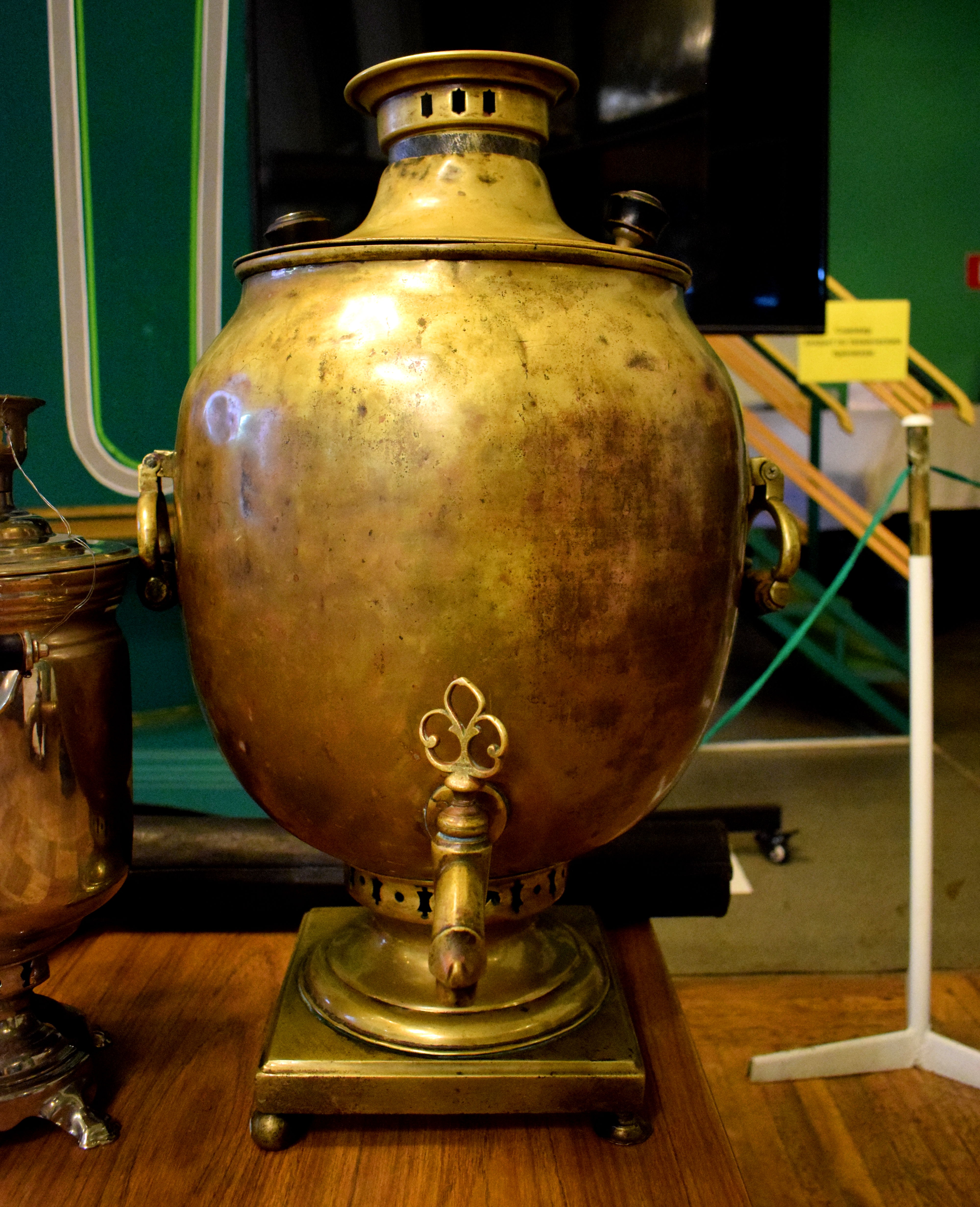 Samovars were used by Russians in czarist times to keep water hot for tea and soup. A flame in the bottom of the Samovar would be lit that would warm up the water in the container. The handle could then be turned so that the hot water pours out.
Tula was the city where the majority of Russian samovars were produced in the 19th century. You could find them all over Europe and chance are if you live in an old house and look in the attic, you will find a samovar that was made in the city of Tula.
Conclusion
Tula was an amazing city to visit in the fall. Russia can have extreme weather. Most of the year is covered in snow, but you have brief glimpses of fall, spring and summer that can be enjoyed.
These photos capture what fall in Russia is like. We happened to spend them in Tula, but really, any Russian city will look this beautiful in the fall.
When it comes t othe city of Tula itself, it is a great day trip outside of Moscow. The city is beaming with history. The armaments factory, the Kremlin, the wooden buildings in the center of the city, the beautiful cemetery atop the hill and the delicious Russian pryaniki all combine to make this worth the trek outside of Moscow.
Be sure to add it to your itinerary when you visit Russia and Moscow.

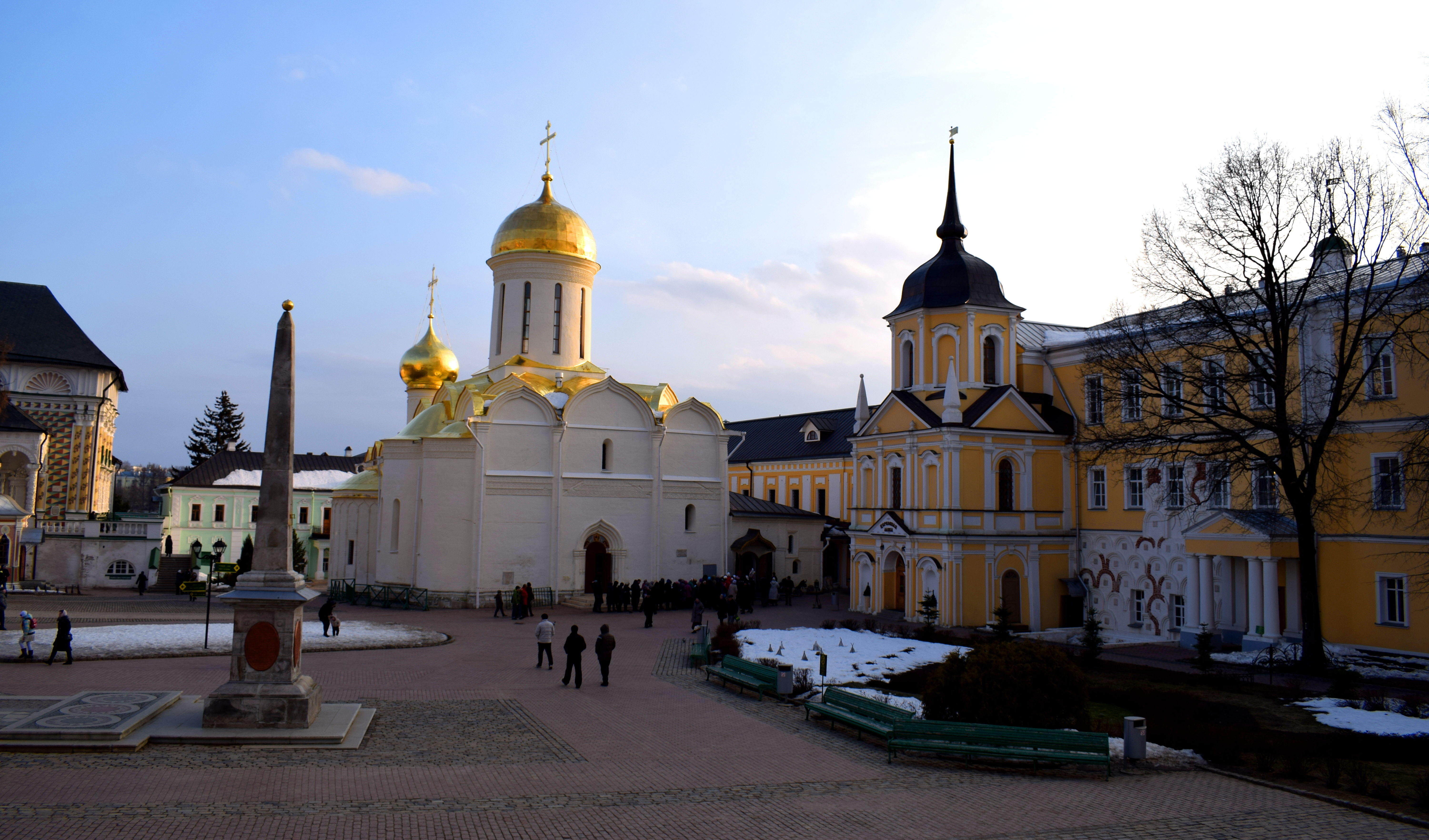
Moscow Region Day Trips: Sergiev Posad
Sergiev Posad is the next destination on our tour exploring historical towns around Moscow you can visit in a day.
Sergiev Posad is one of Russia’s oldest cities founded in the 14th century. It is also a Golden Ring city in Russia, which are a series of towns northeast of Moscow which form the ancient core of medieval Russia and which have seen a lot of their historic architecture preserved to this day.
You would think that the further west you go in Russia toward Europe, the more European the towns get, but that isn’t quite the case. In fact, because Russia suffered numerous invasions from Europe over the course of the centuries, beginning with the Poles and Swedes, the French in the 19th century and the Germans in the 20th century, most of the cities that lie west of Moscow suffered repeated destruction.
In contrast, towns east of Moscow have largely been preserved. The last true invader to attack Russia from the east were the Mongolians under Genghis Khan. Since then, these cities have remained untouched and miraculously survived Soviet attempts to wipe out religion in Russia in the 1930’s.
Sergiev Posad is one of those cities.
The easiest way to get to Sergiev Posad is to take a train from Moscow’s Yaroslavsky Station. Trains leave every 10-20 minutes. The ride costs 176 rubles in one direction, or about $3. The city is located 67 kilometers away and it takes 1.5 hours to get there.
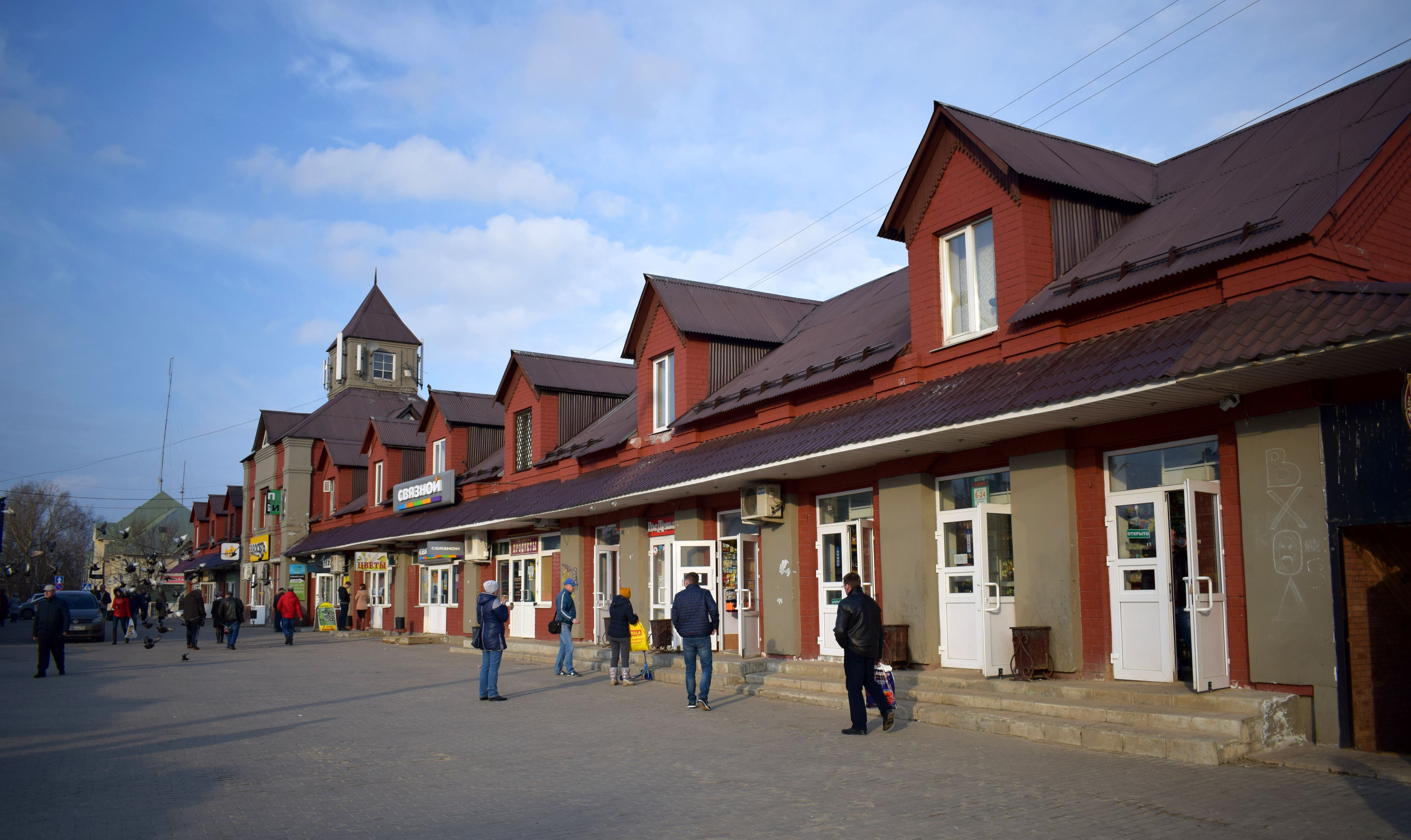
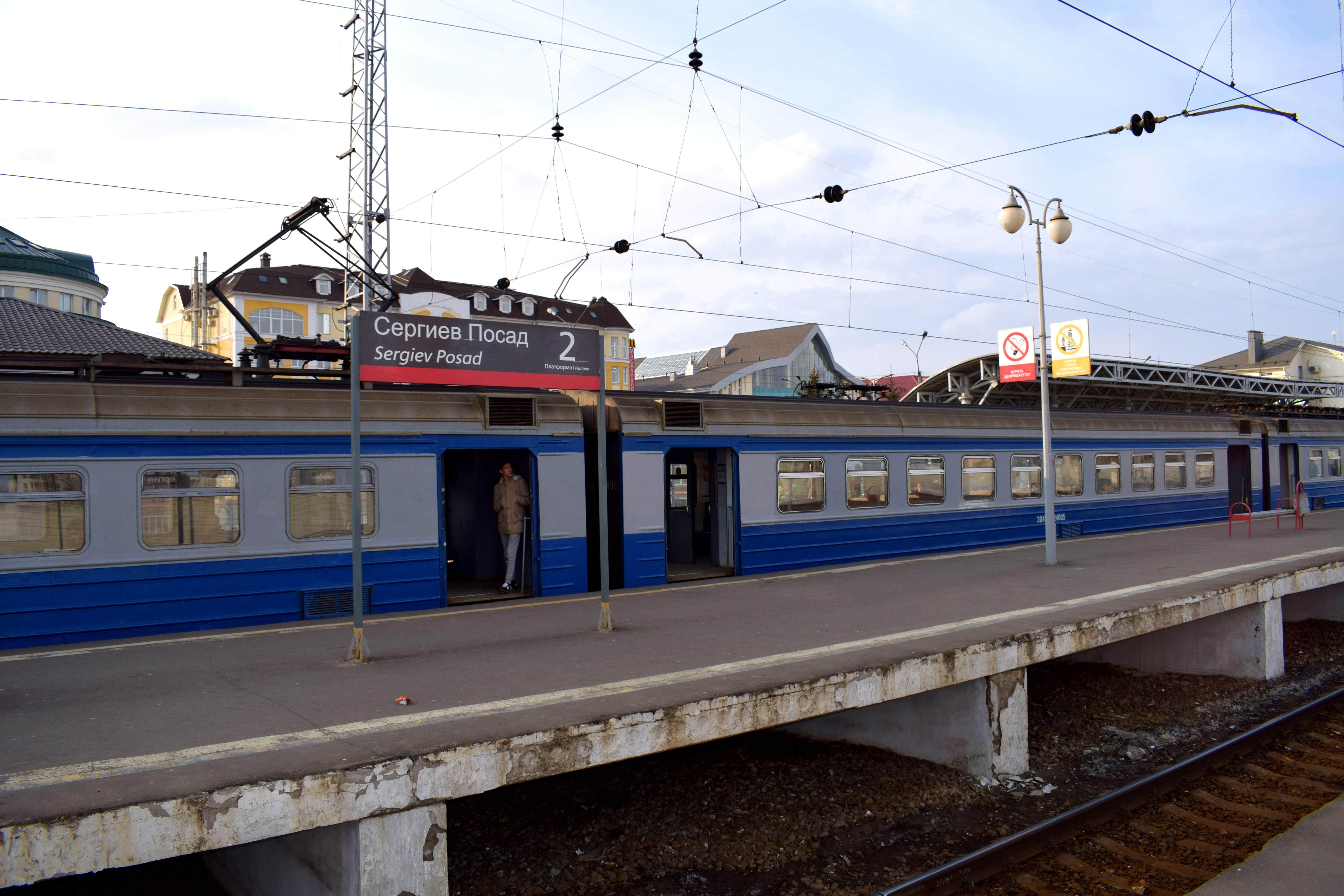 I always like to judge cities based on how easily accessible their centers are from the train station. Sergiev Posad’s train station had a decent location. The city center was only a 15 minute walk away and there were some historical buildings on the way.
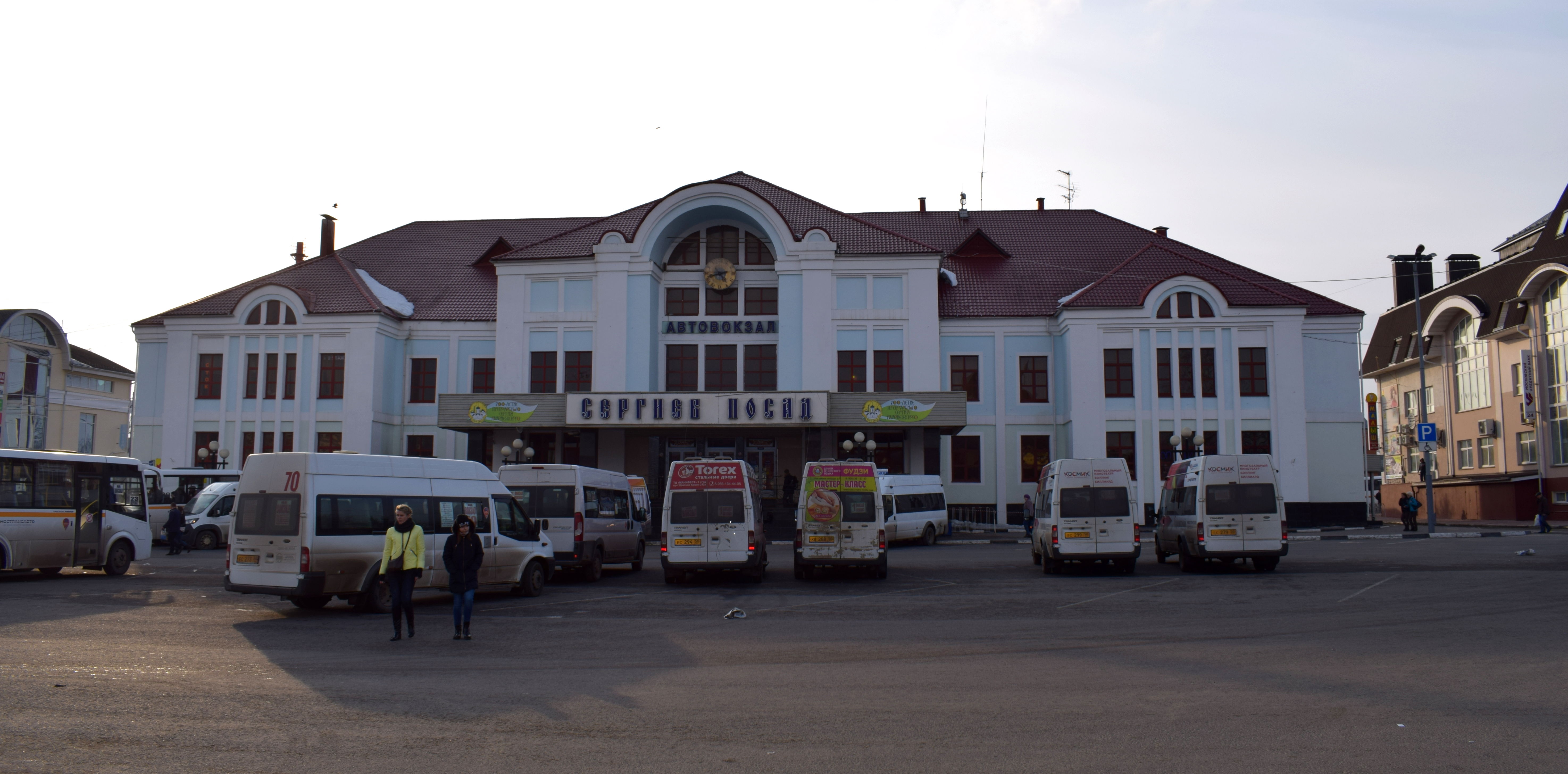
 Of course like a lot of Russian cities, the city decided to locate its bus station right next to its train station. So despite having nice buildings, they were ruined by the ‘marshutkas’, or shuttle buses, that dominate smaller Russian cities. Sooner or later, Russian cities should get rid of these marshutkas and invest in proper buses or trams.
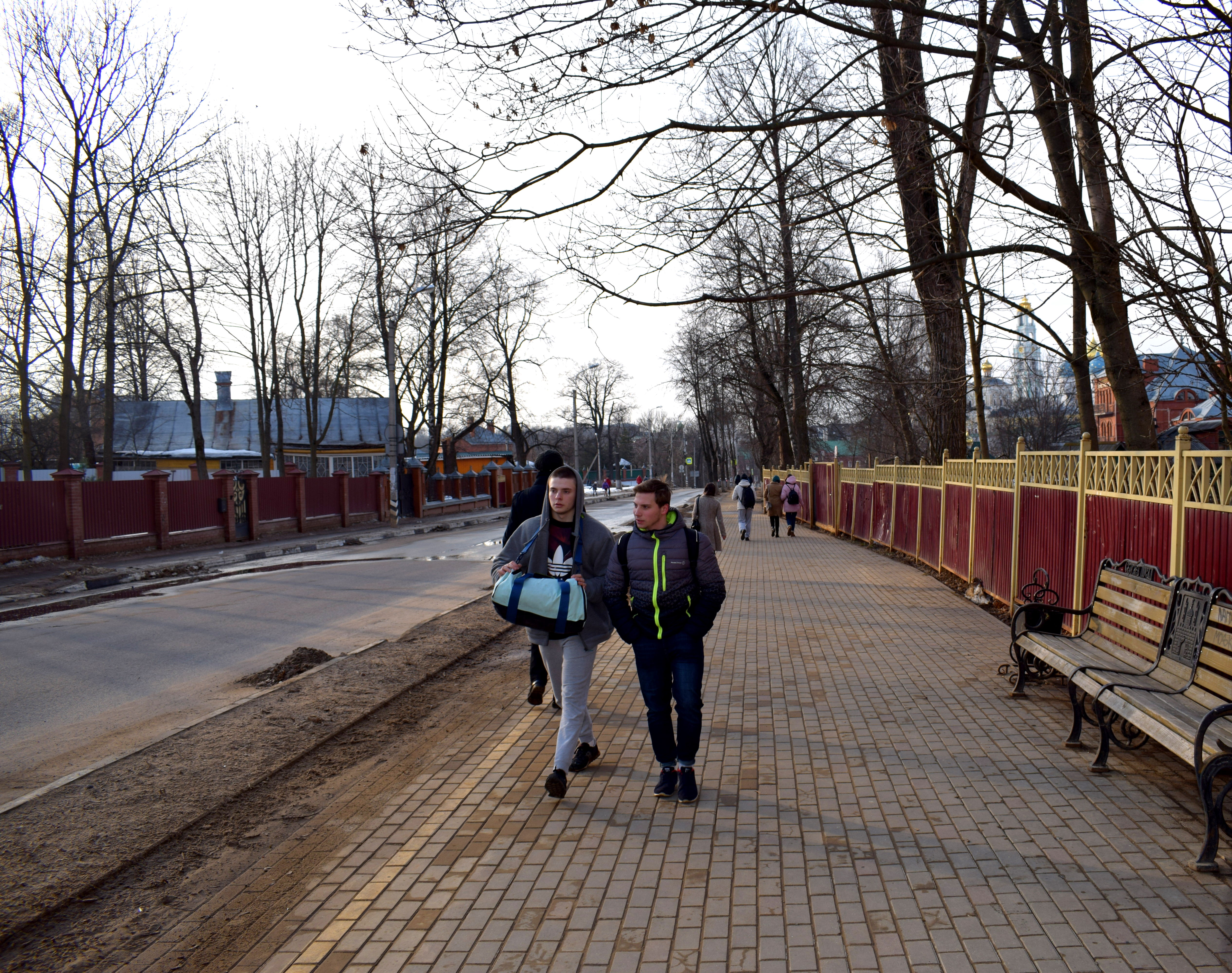
 Walking toward Sergiev Posad’s city center.
 March is a wildcard month in Russia in terms of weather. Whereas in most other countries March signifies the start of spring, in Russia March is completely inconsistent. Often you will get a week of warm spring weather followed by a week of cold brutal winter and then back to spring. This kind of see-sawing usually continues for all of April and even in May.
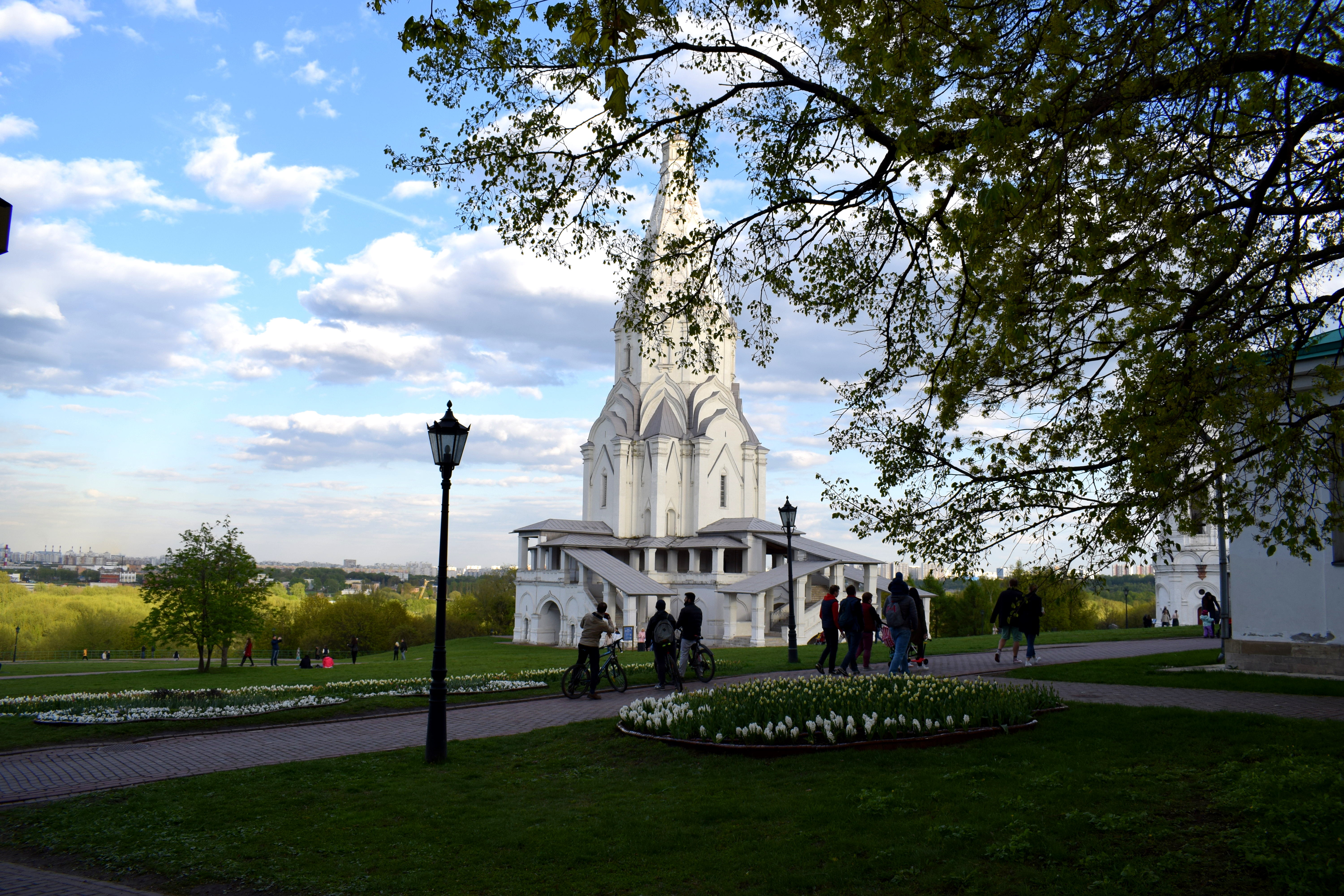
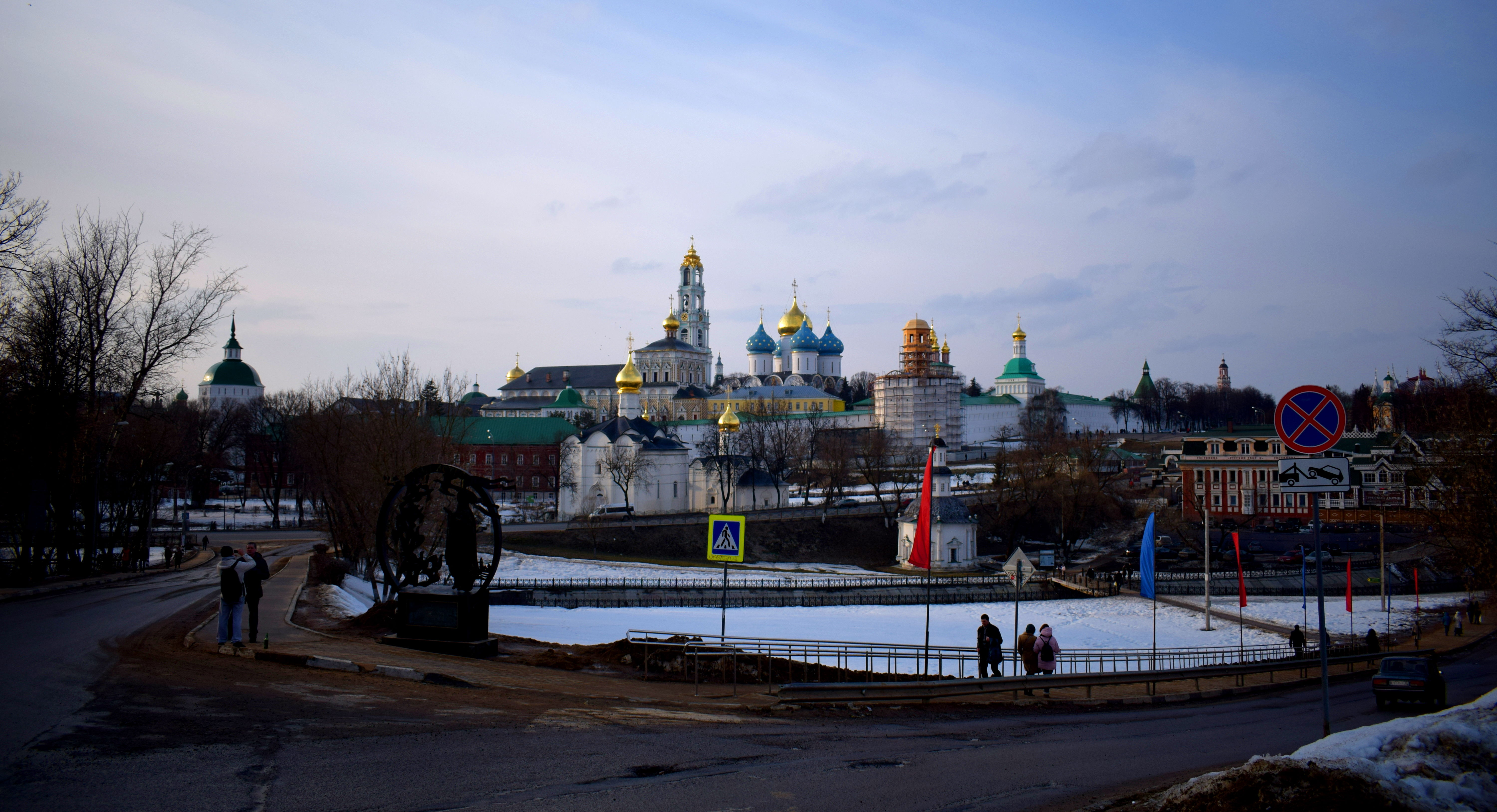
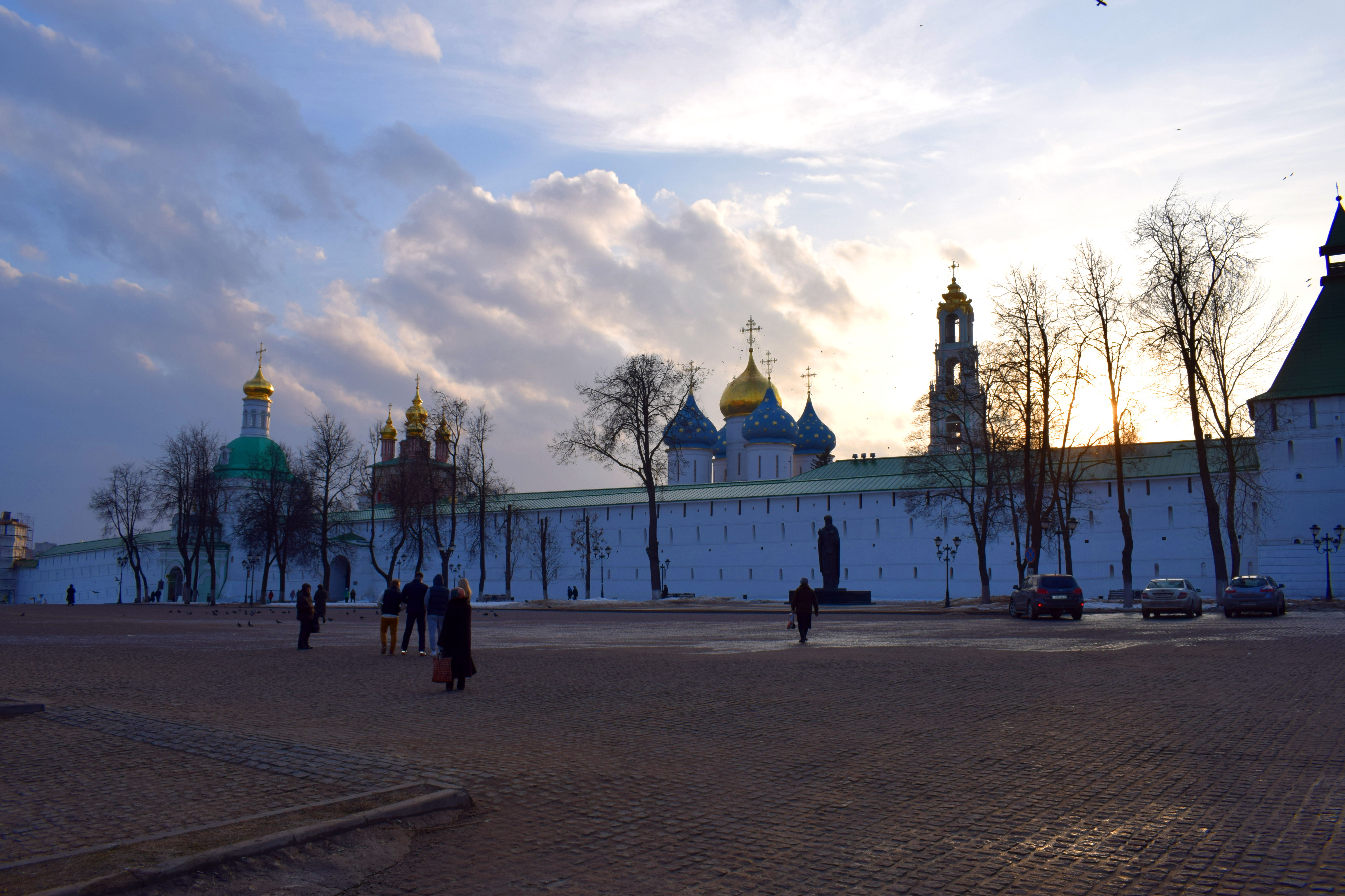
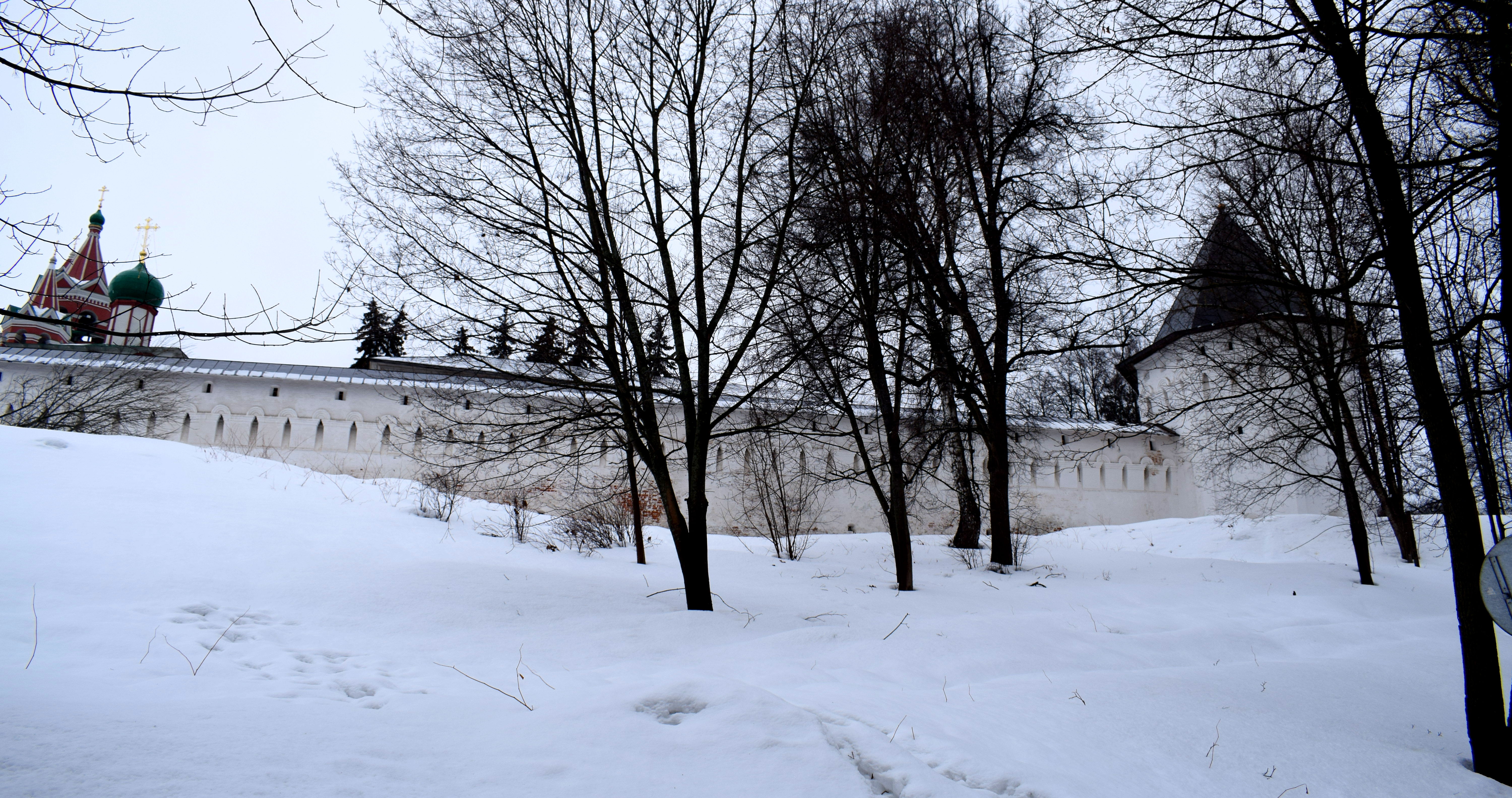
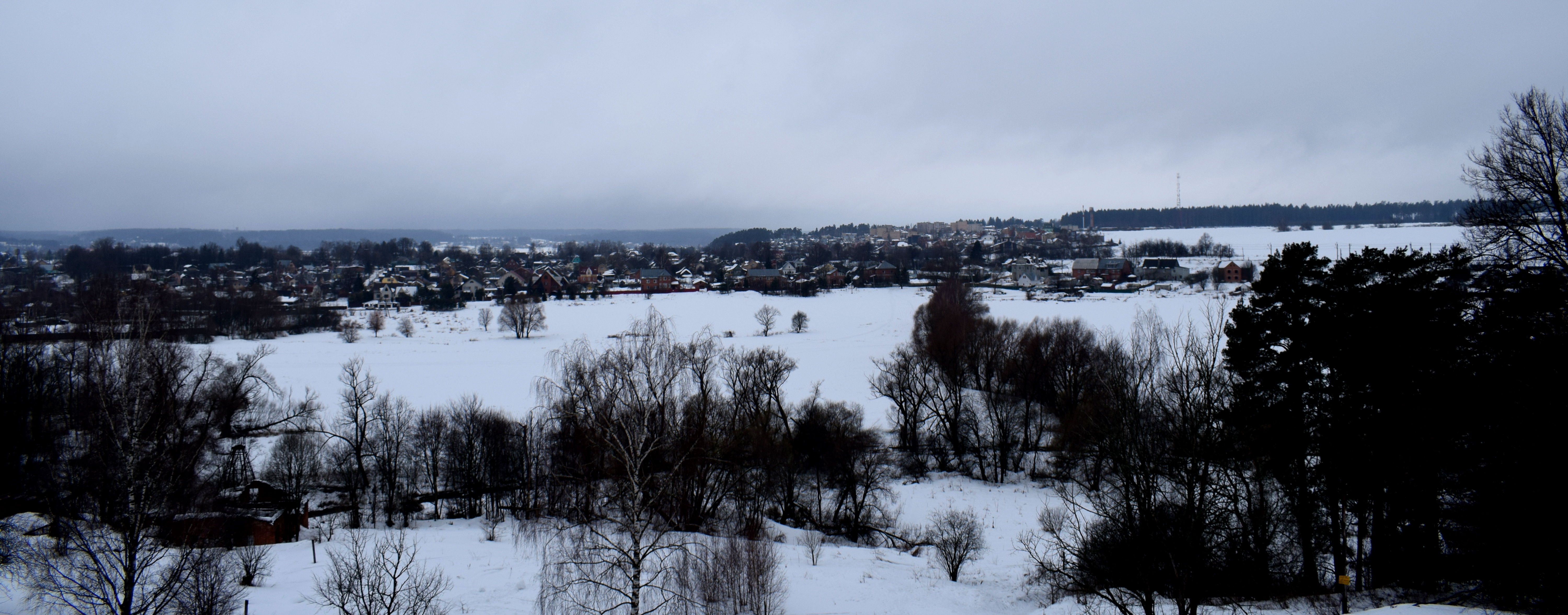
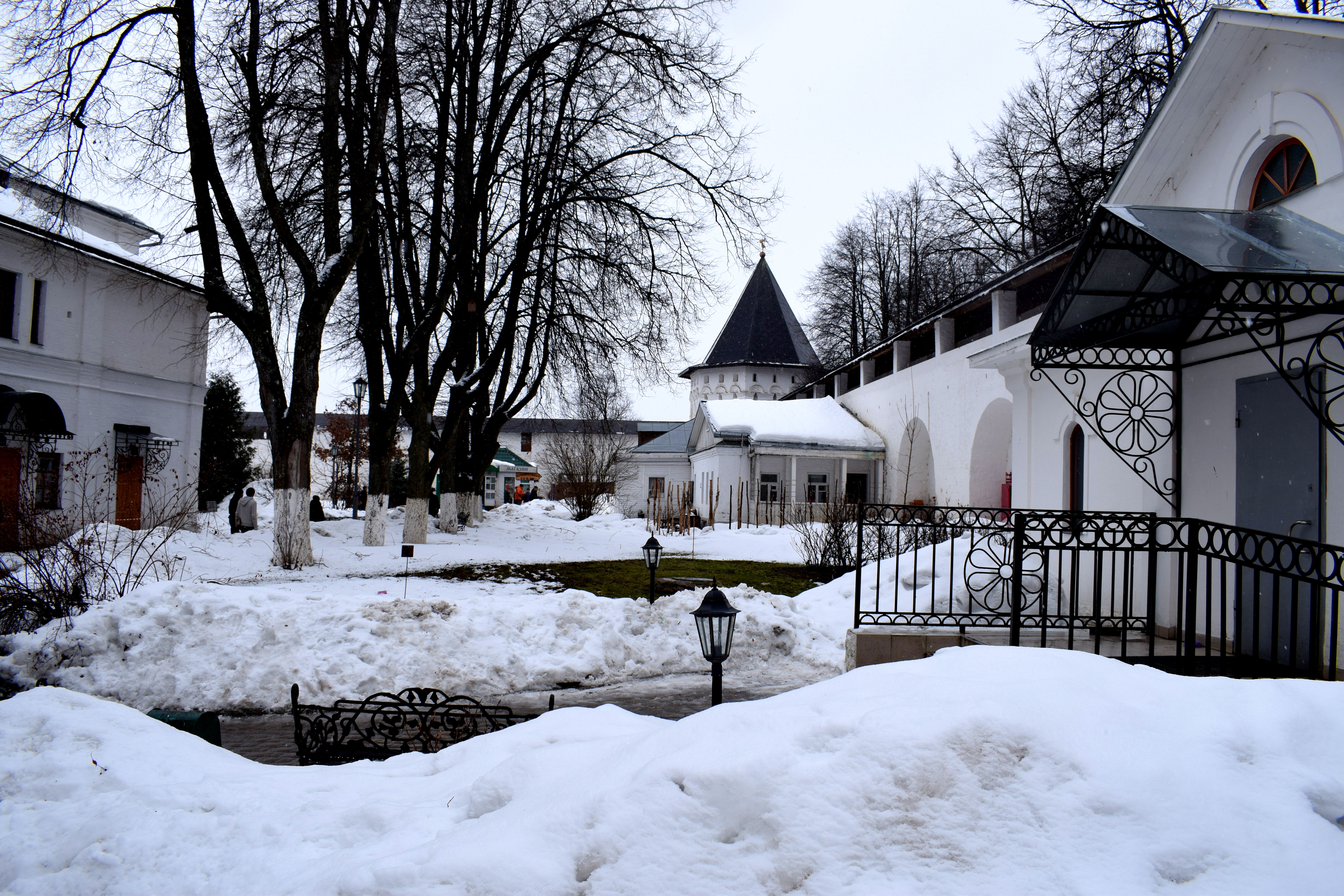
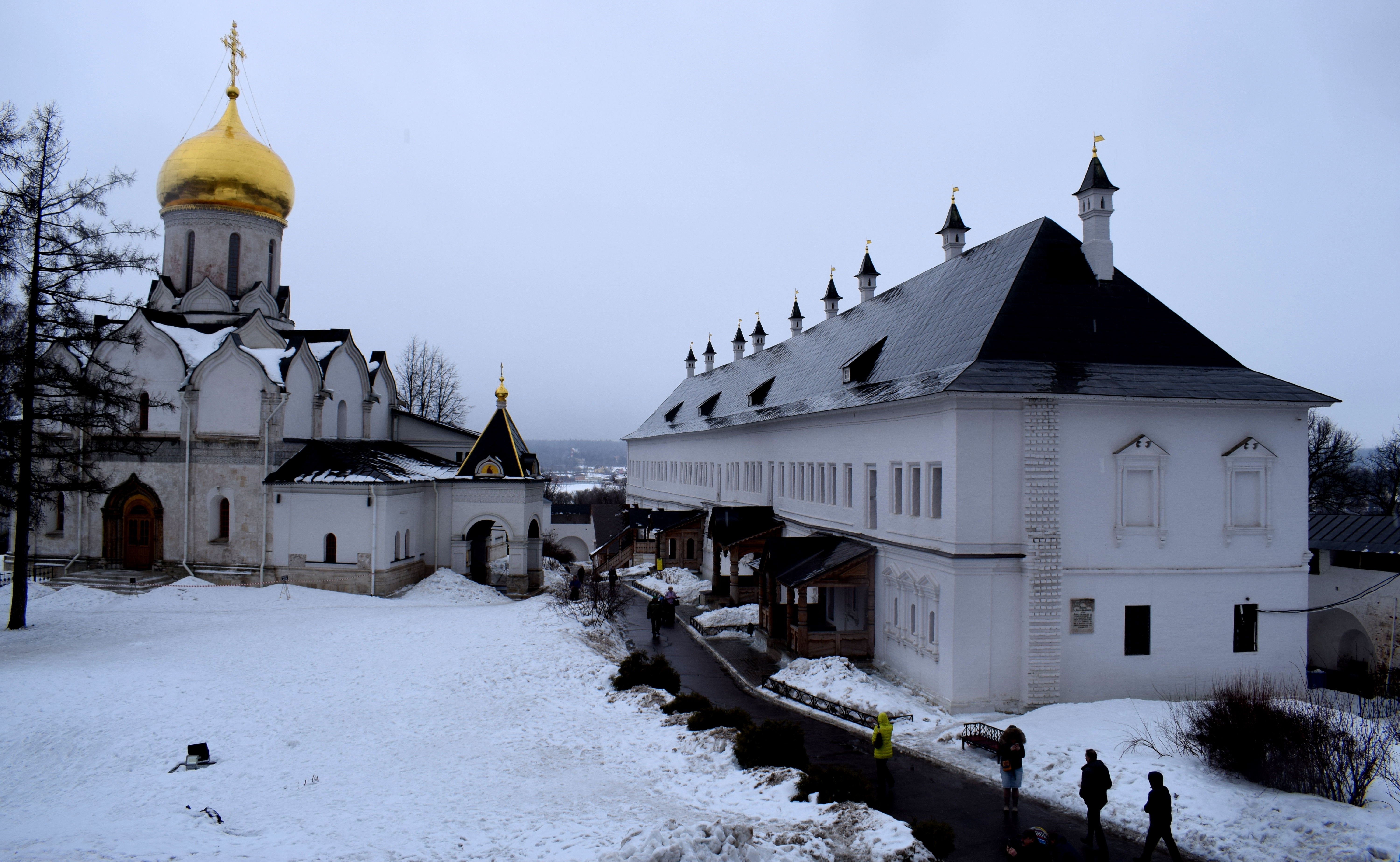
 A panoramic view approaching Sergiev Posad. The city is most famous for the Trinity Lavra of St. Sergius Monastery, one of the oldest and biggest monasteries in all of Russia, founded in 1337 by St. Sergei of Radonezh.
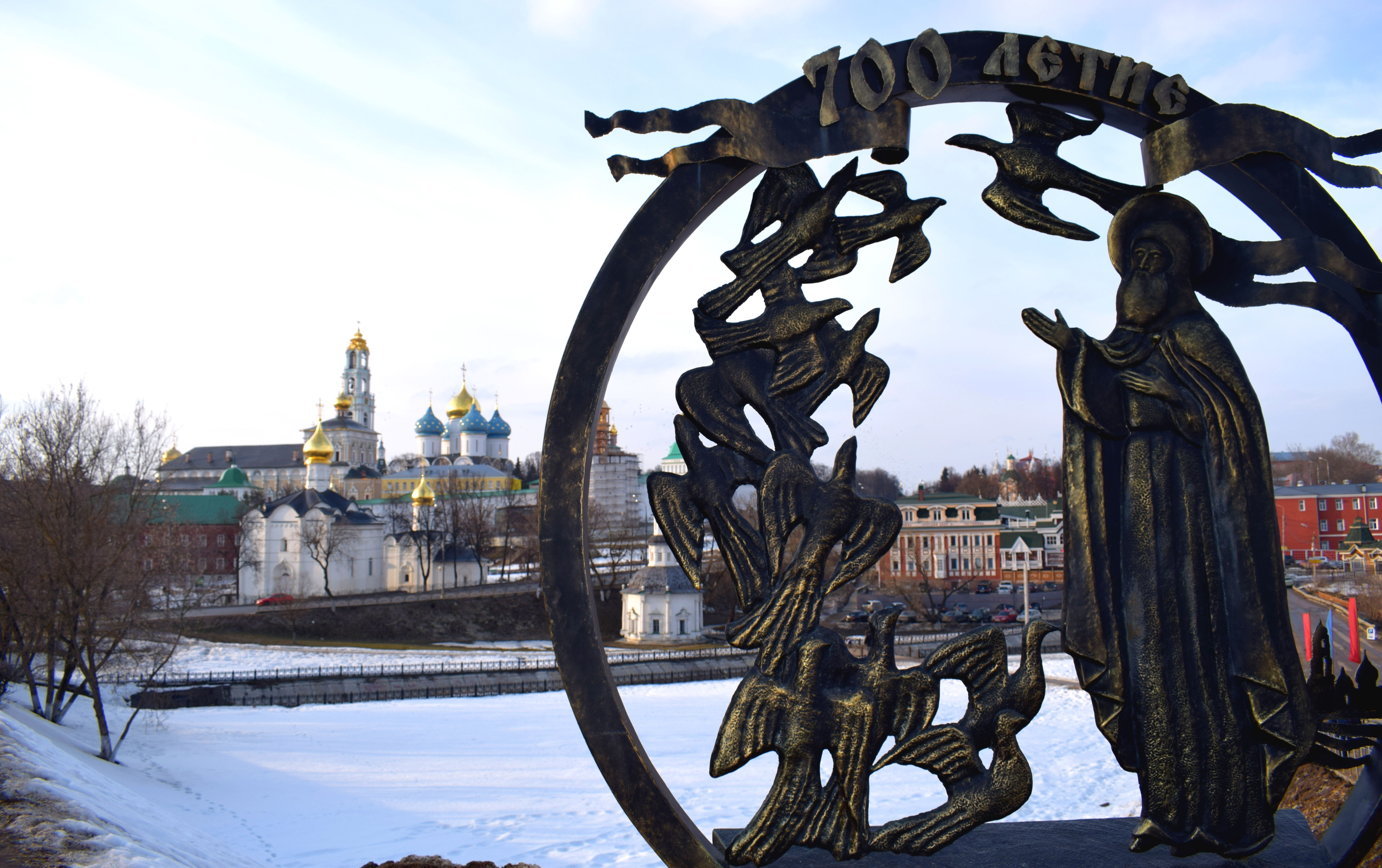
 Near the entrance to the town is a monument celebrating the 700th anniversary of Sergiev Posad. The city got its name Sergiev Posad only in 1782 following a decree by Russian Empress Catherin II to name the city after the man who founded the monastery, St. Sergei of Radonezh. From 1930 to 1991 the city was renamed to Zagorsk after a famous communist leader. The city reverted back to its old name after the Soviet Union fell apart in 1991.
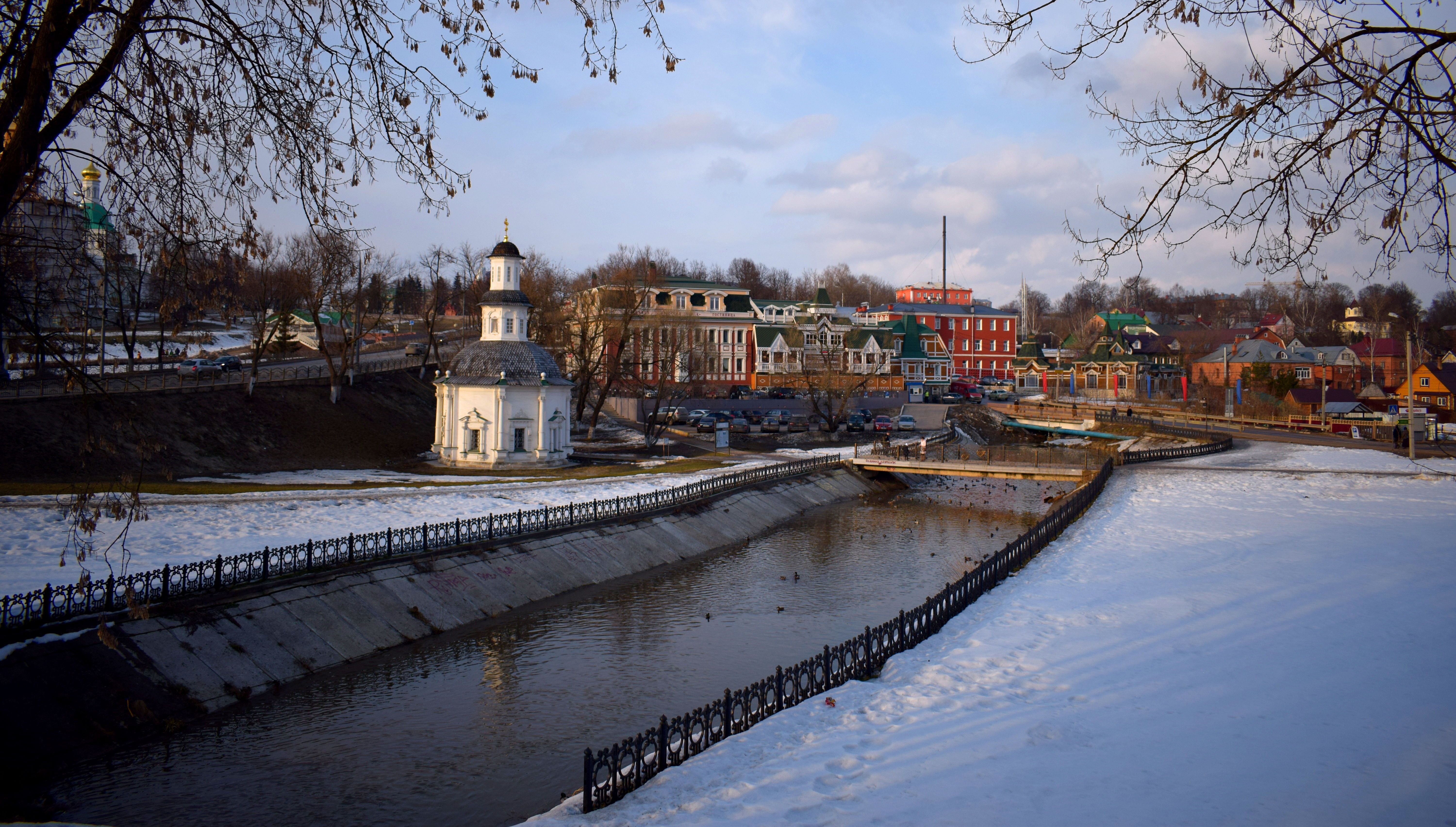
 The best time to visit Sergiev Posad is in the summer. There are a number of lakes and small ponds sprinkled throughout the city around the monastery which were frozen over in March.
 The Pyatnitsky Well Chapel, one of the early churches in the city built in the 1600’s.
 An other side of the street on the opposite side of the chapel is the Vvedenskaya Church, built in 1547. In was reconstructed in 1621 and again in 1740. In 1928 the Bolsheviks closed it down and it did not reopen as a church until after 1991.
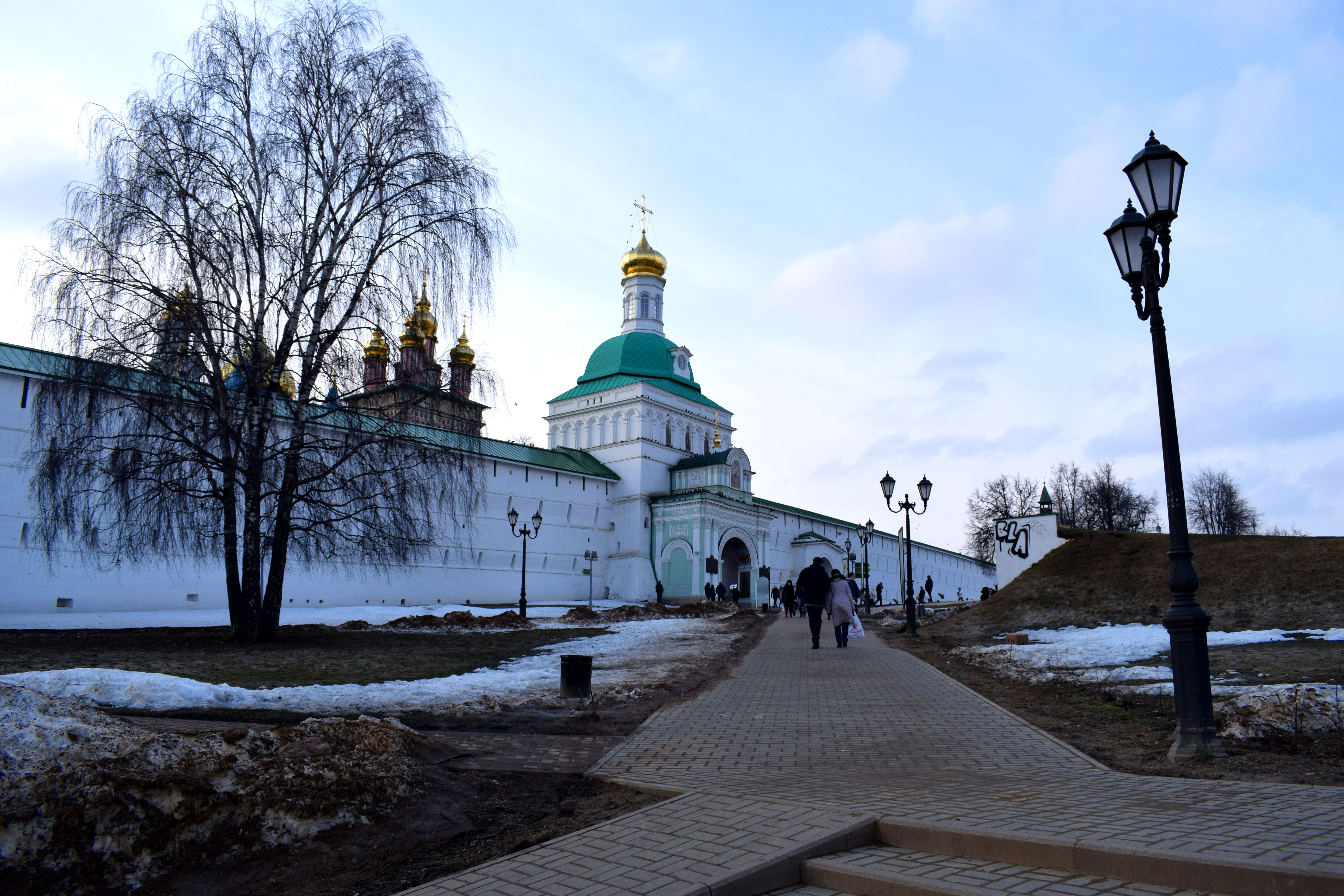
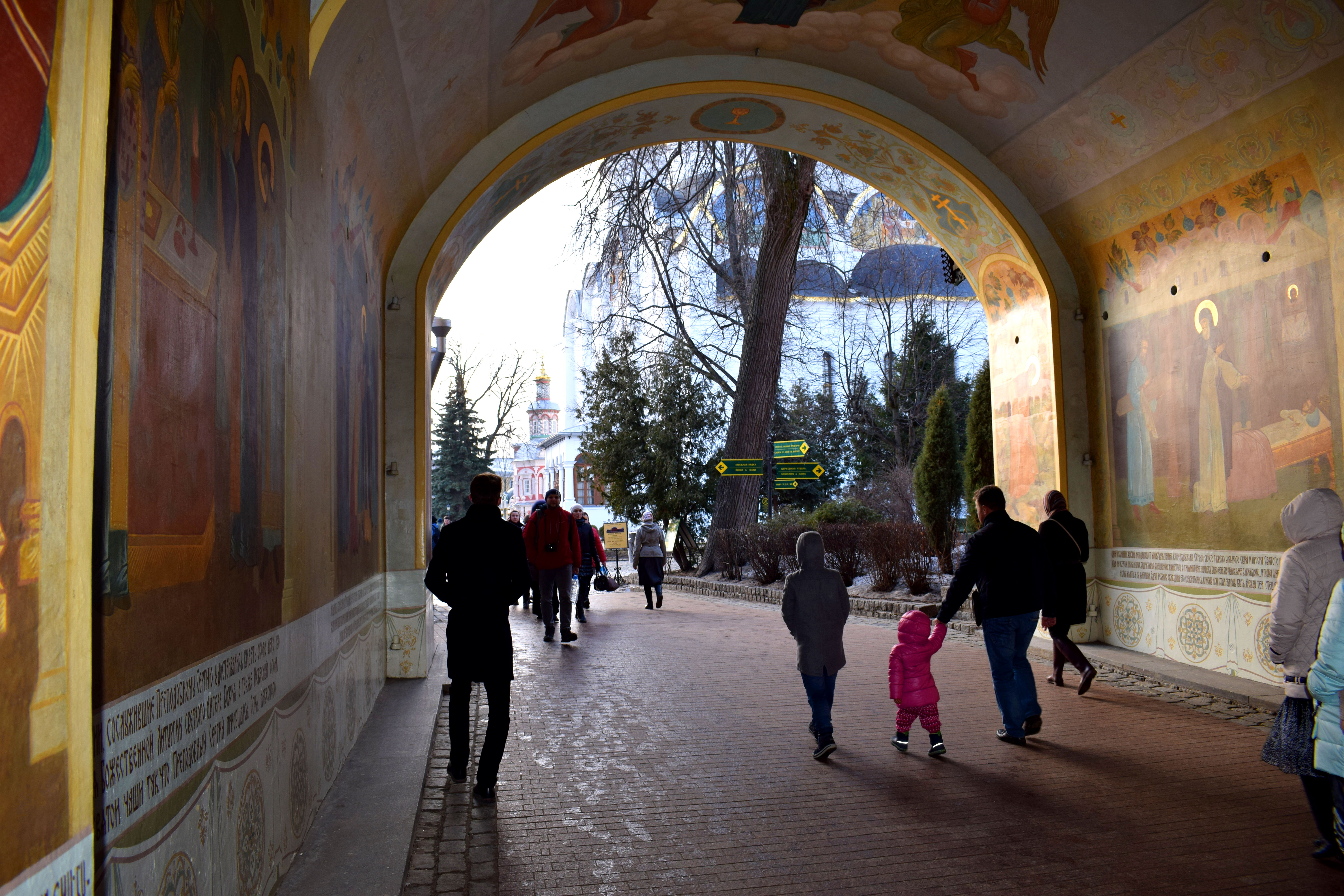
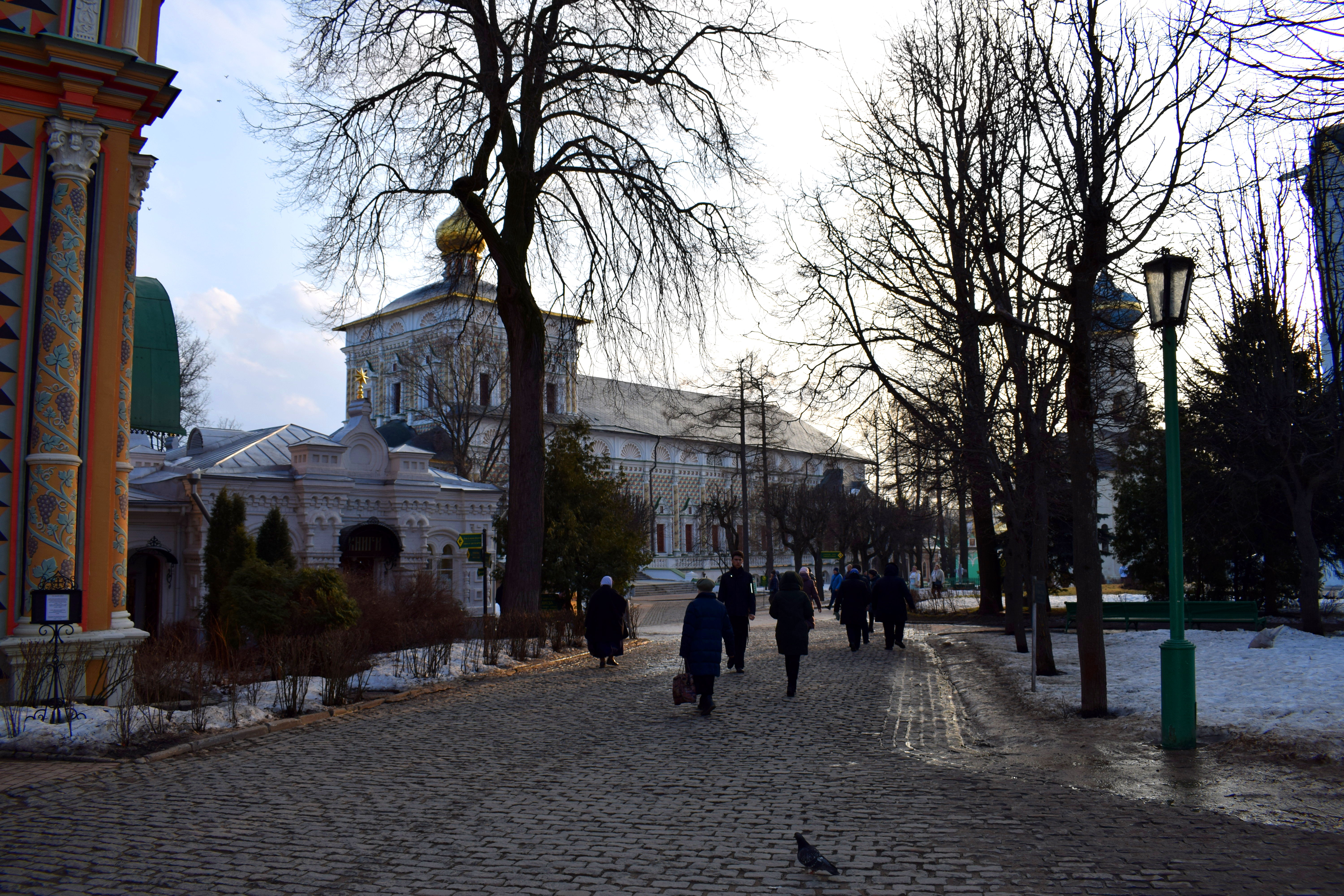
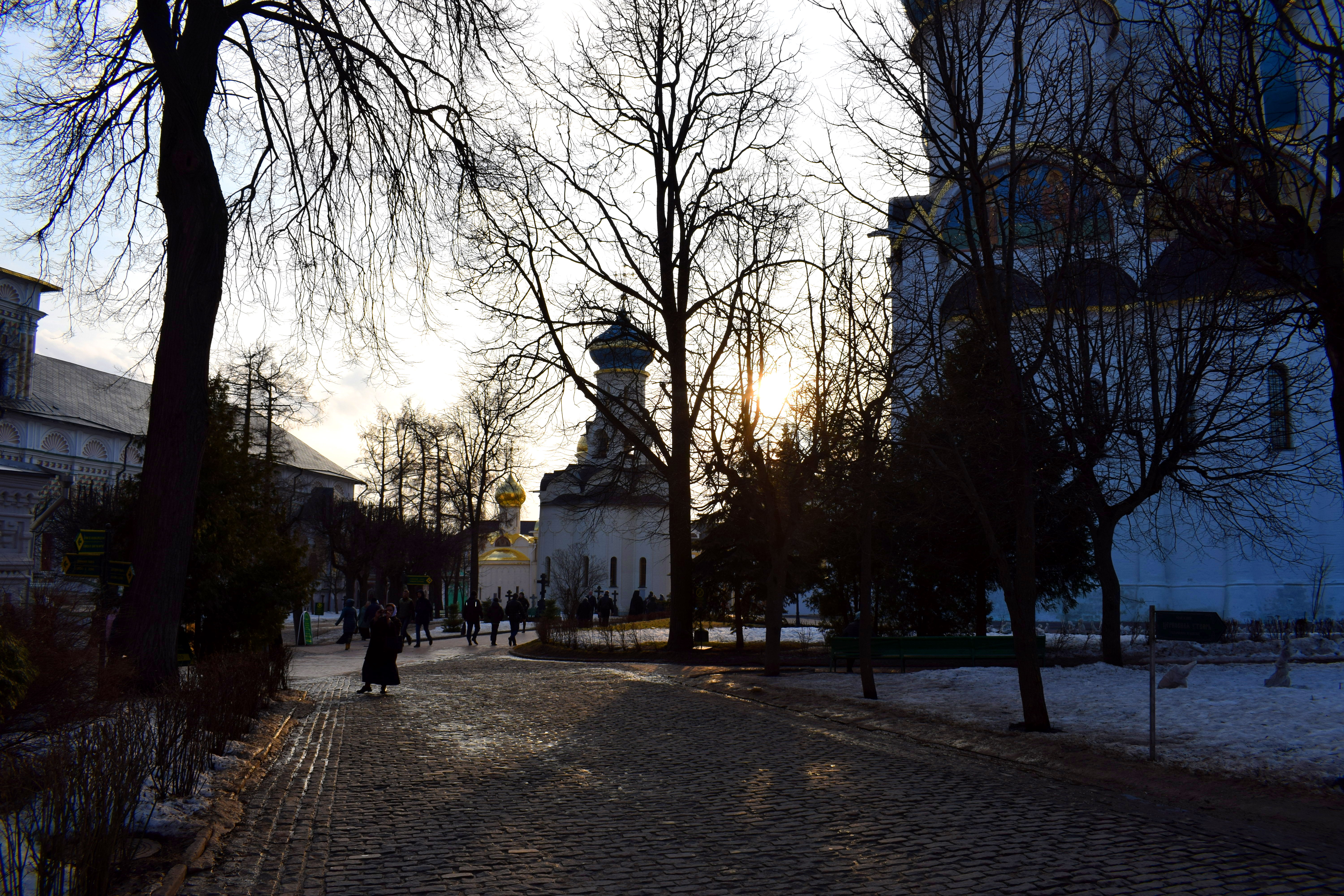
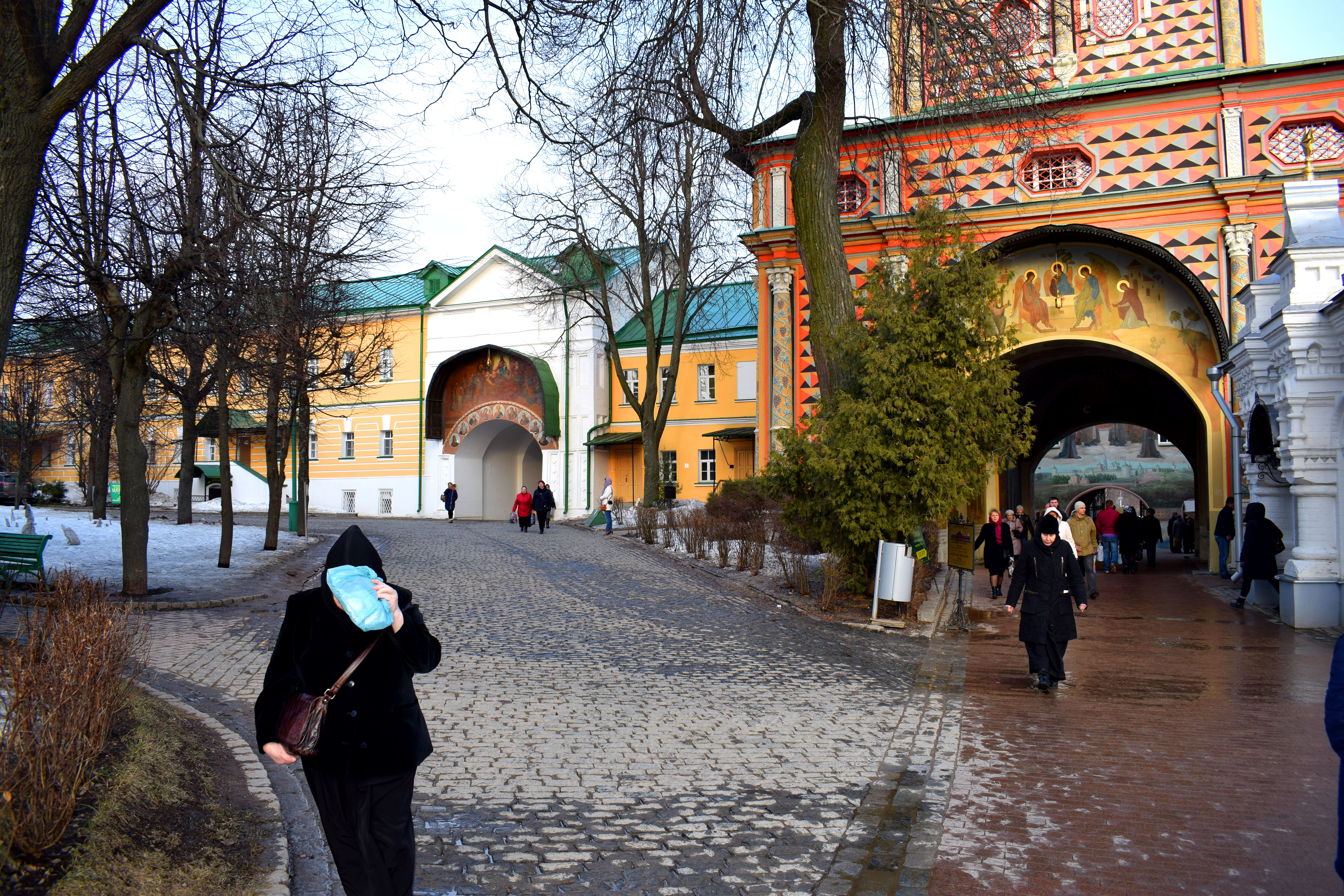
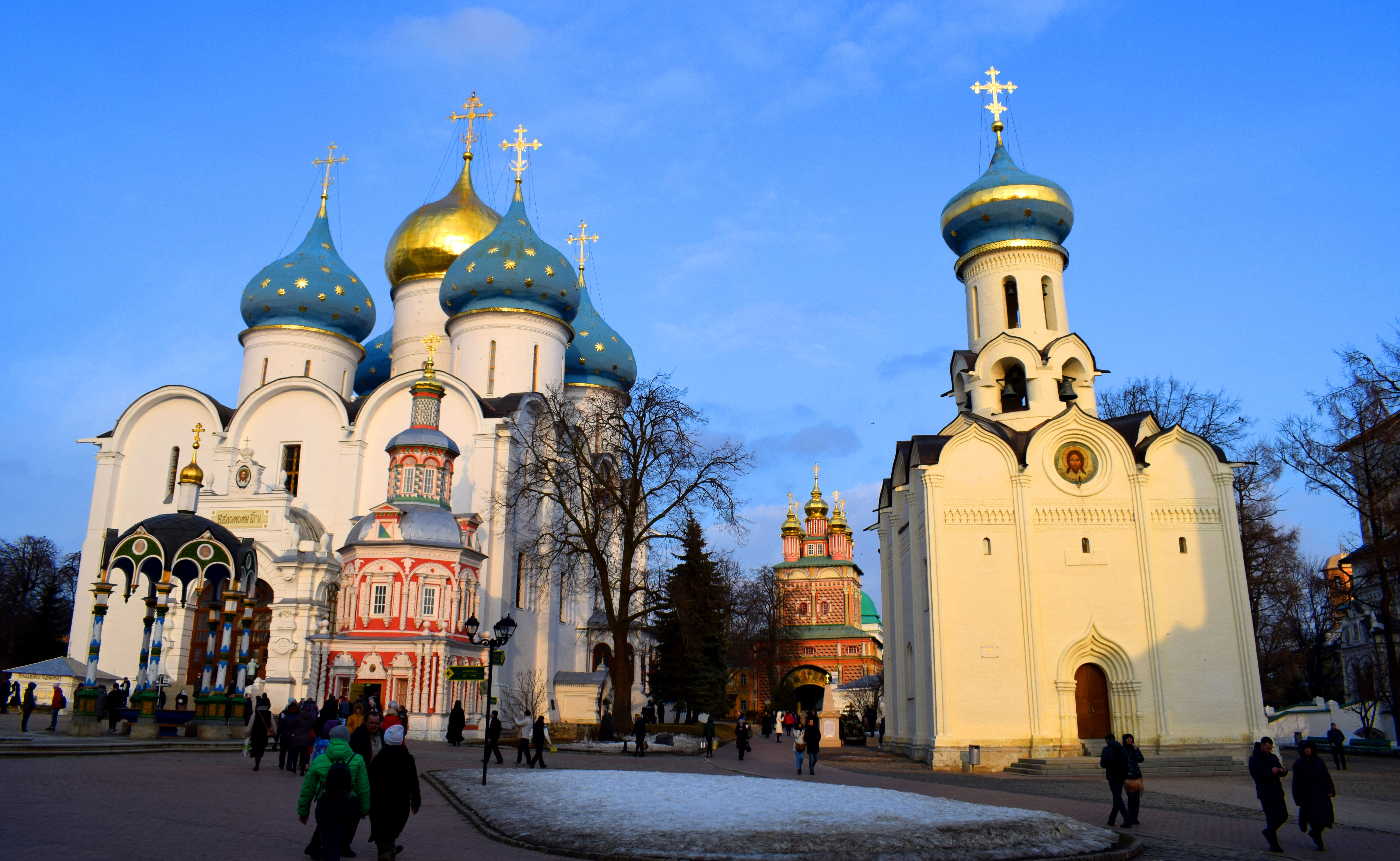
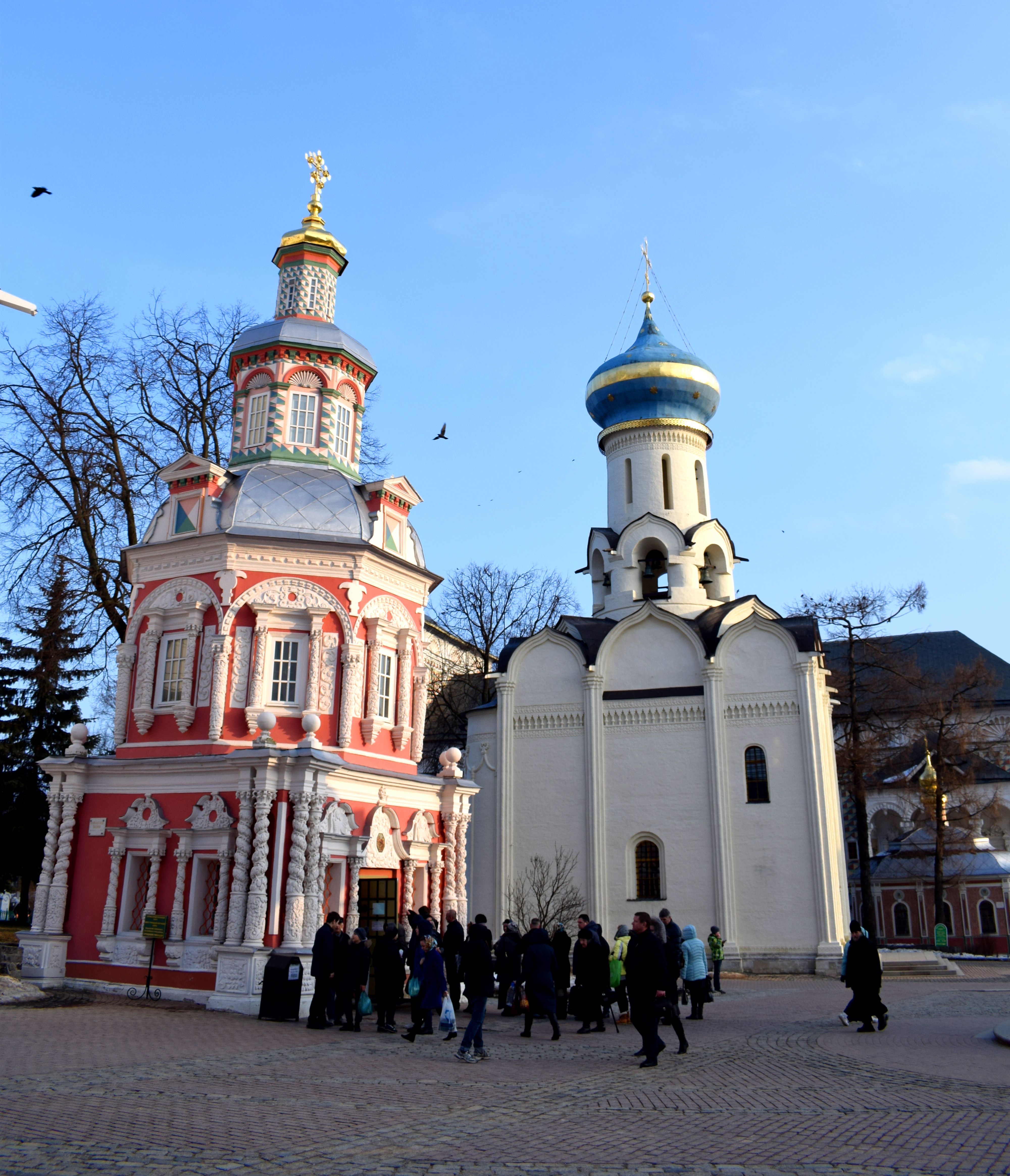
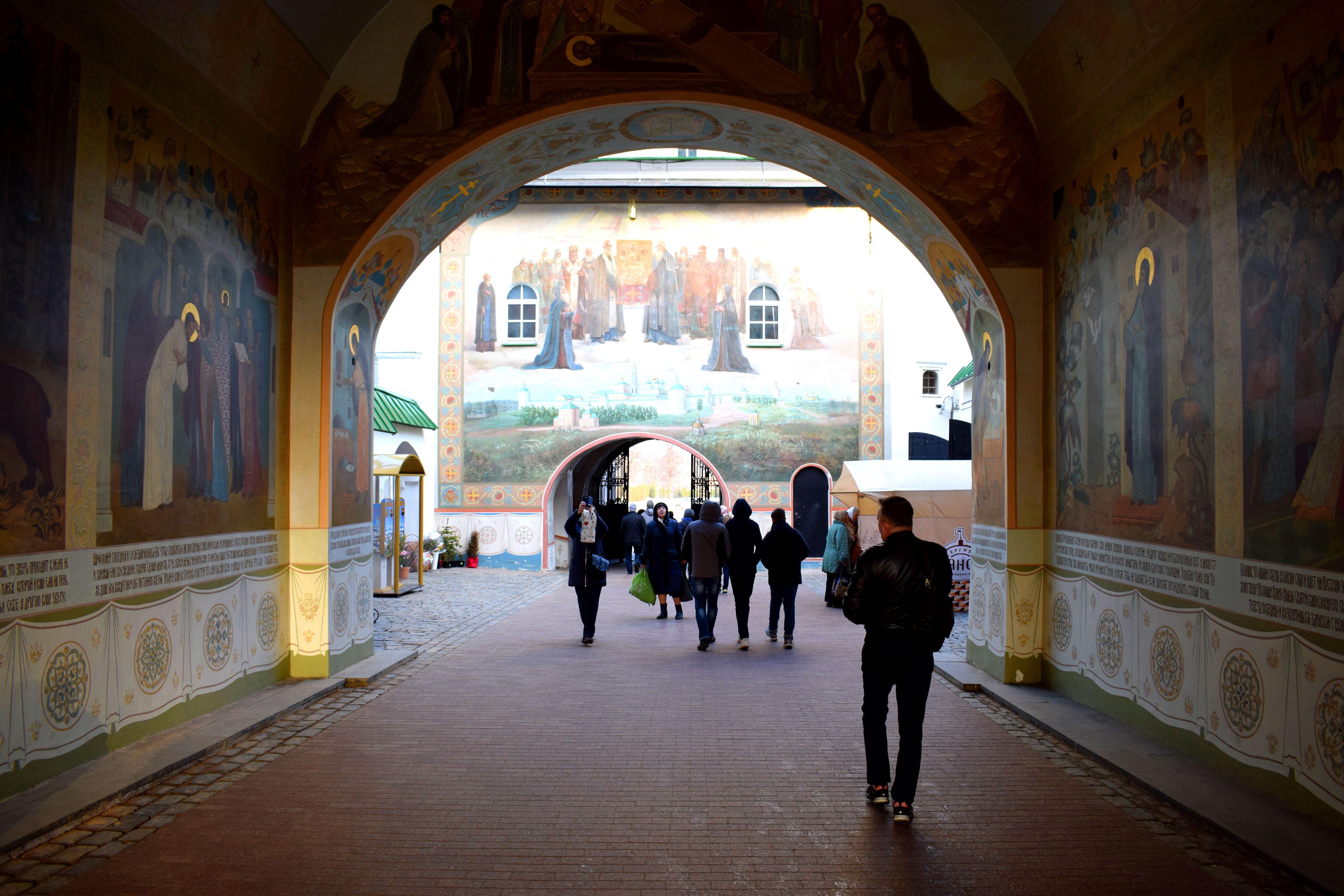
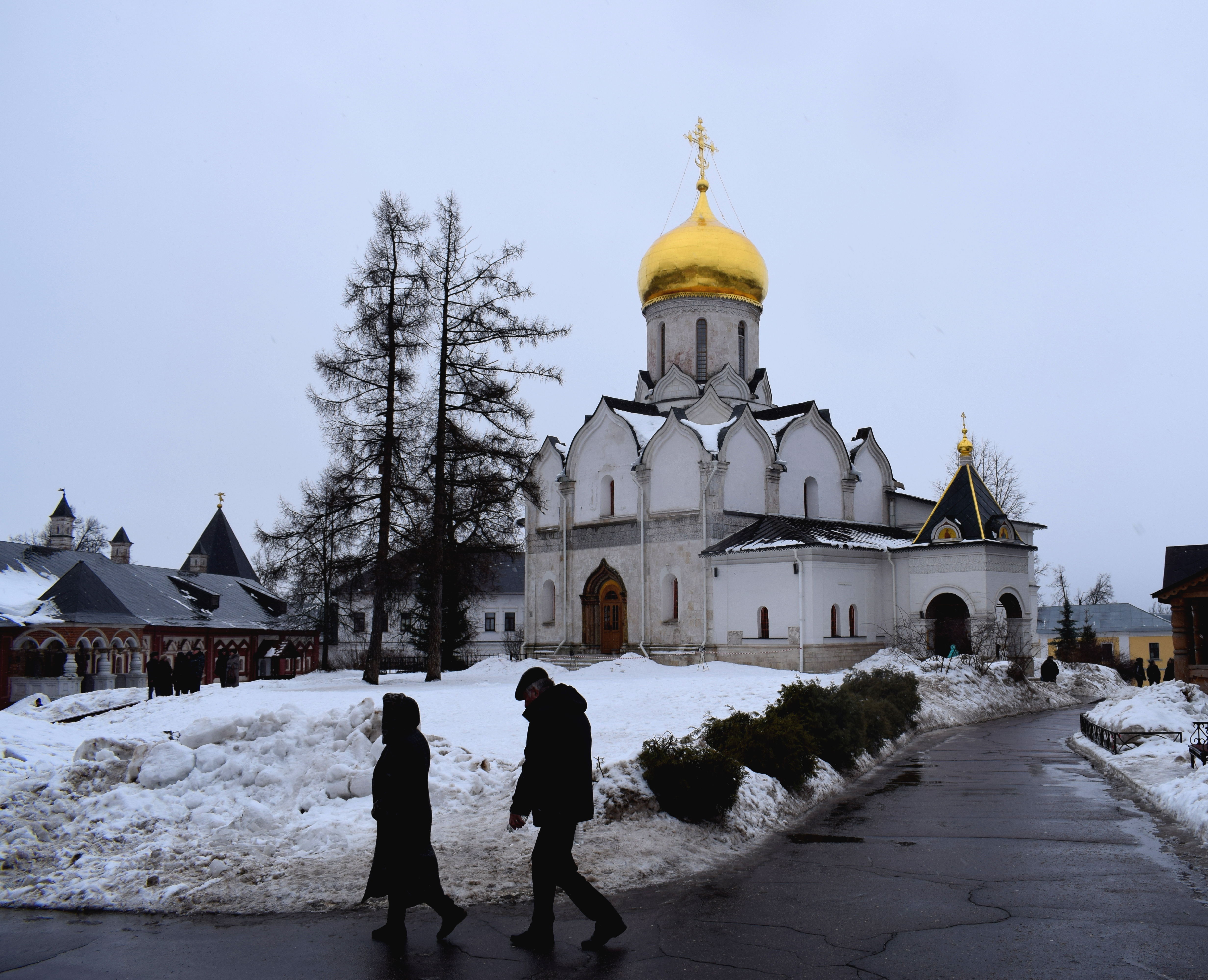
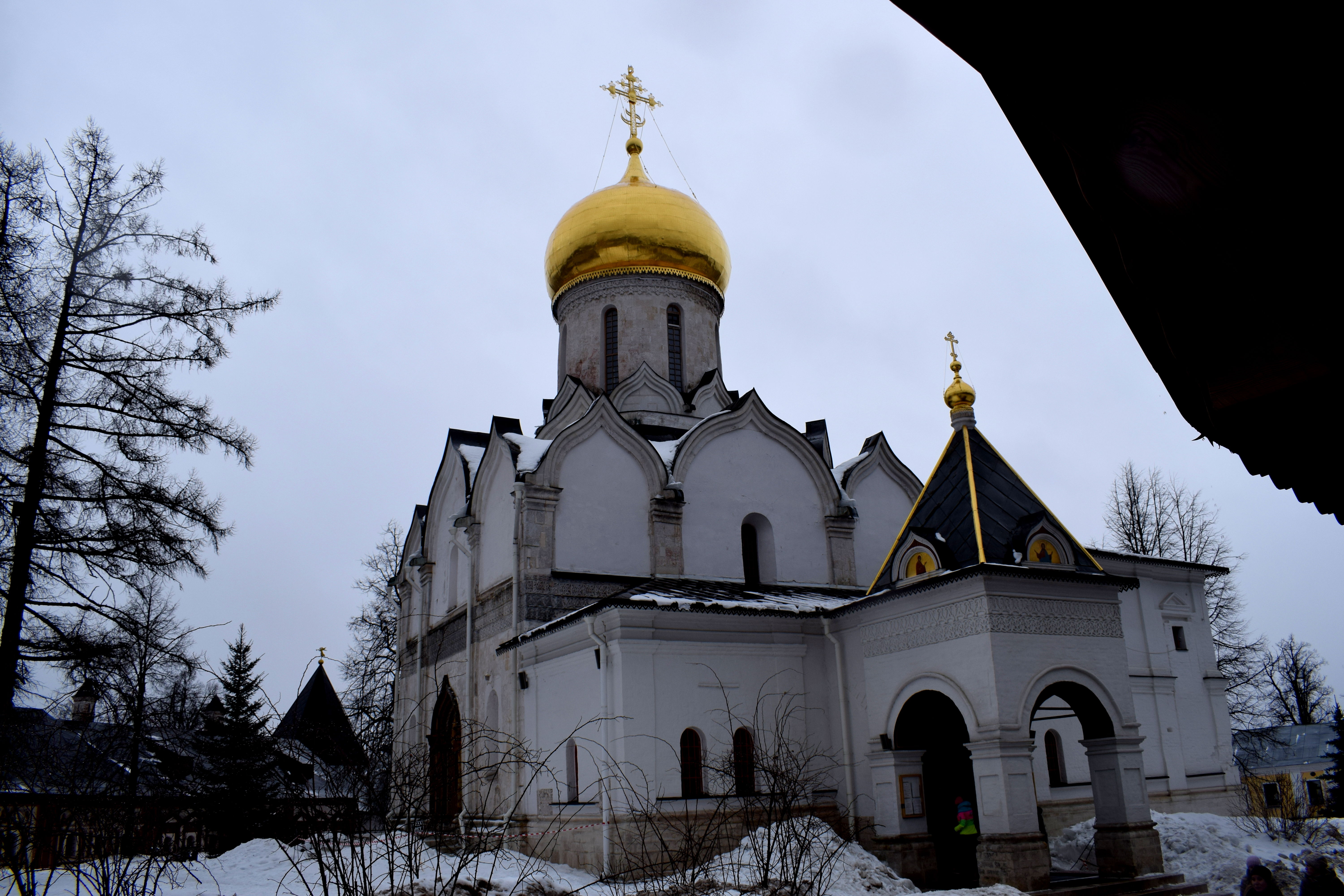
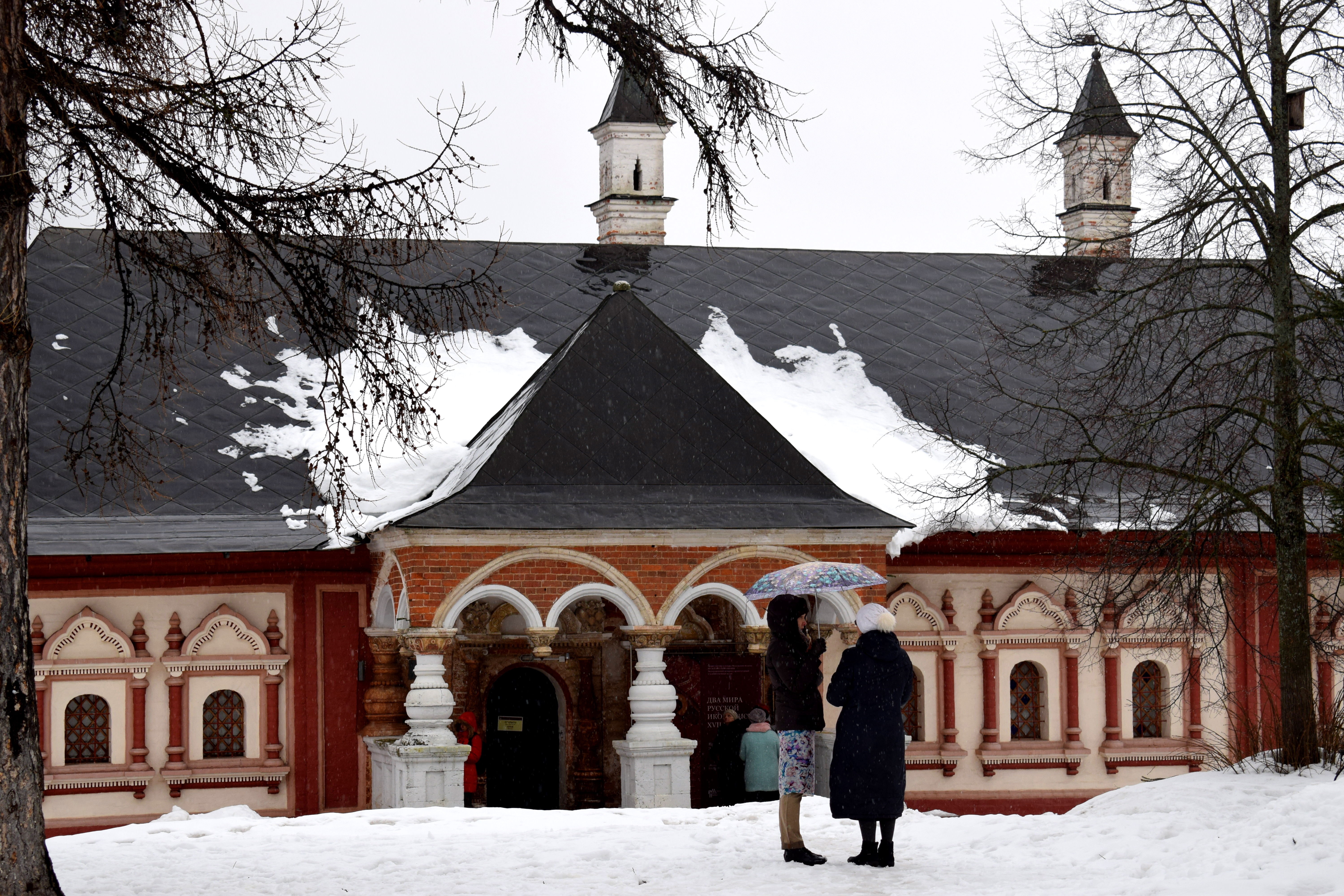
 The Trinity Lavra of St. Sergius, Sergiev Posad’s main tourist attraction. One of the towers was being reconstructed when we visited.
 St. Sergius who founded the monastery was one of the most respected religious leaders in Russia during his time. He had over 4oo followers in Russia who would go on to found many other monasteries in northeastern Russia in the 14th century, including the Solovetsky, Kirillov and Simonov monasteries. St. Sergius was also an avid supporter of Dmitry Donskoi in his struggle with the Tatars, sending his monks to fight alongside the Russian leader during the Battle of Kulikovo in 1380.
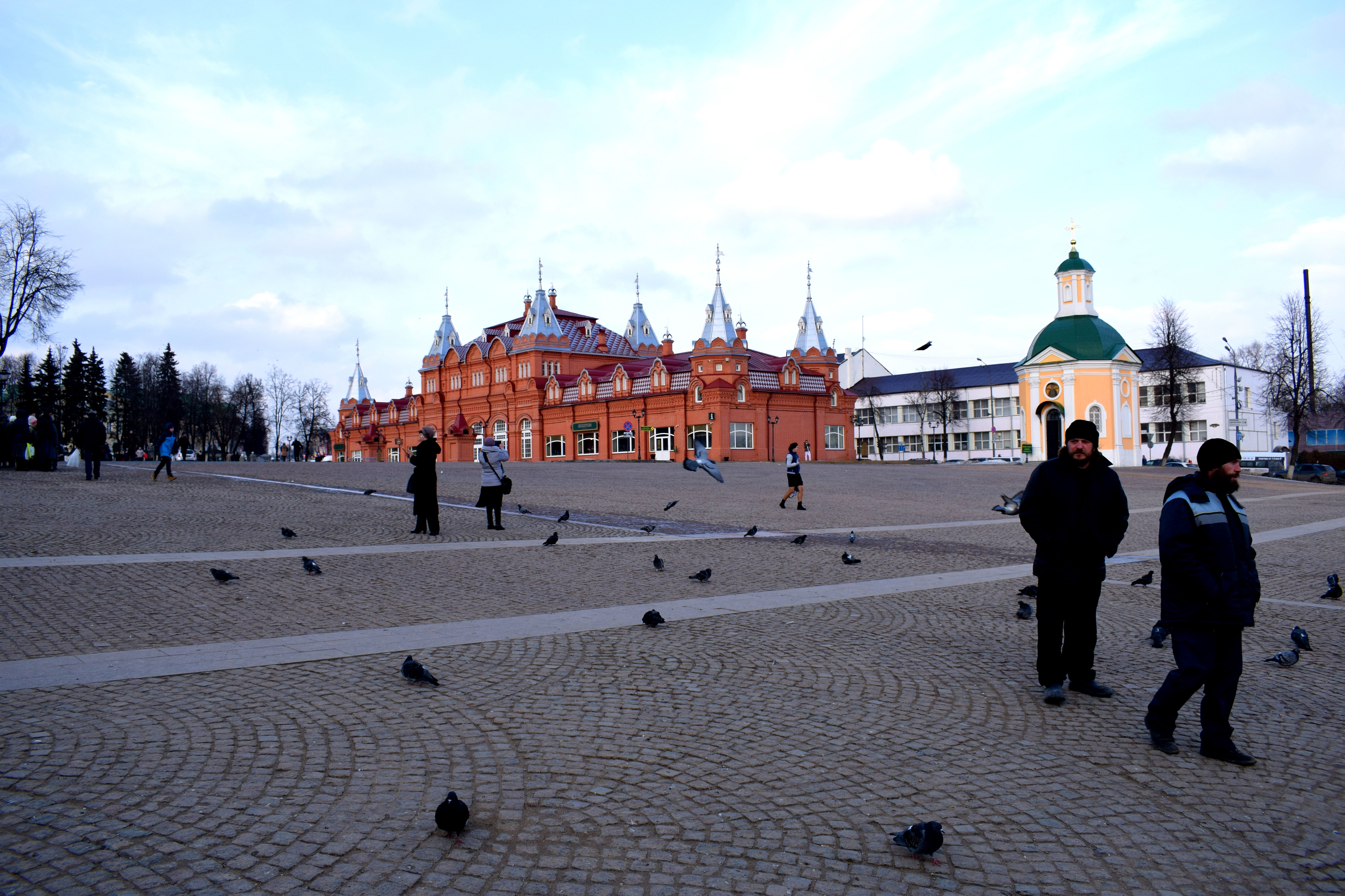
 The square in front of the monastery. The red brick building was a famous merchant house built in the 1902-1903. Initially it was rented by the church to local tradesmen. When the Bolsheviks took over following WWI, the local administration was placed in the building. In 1920 a portion of the building burned down and its outward appearance was altered significantly when it was reconstructed.
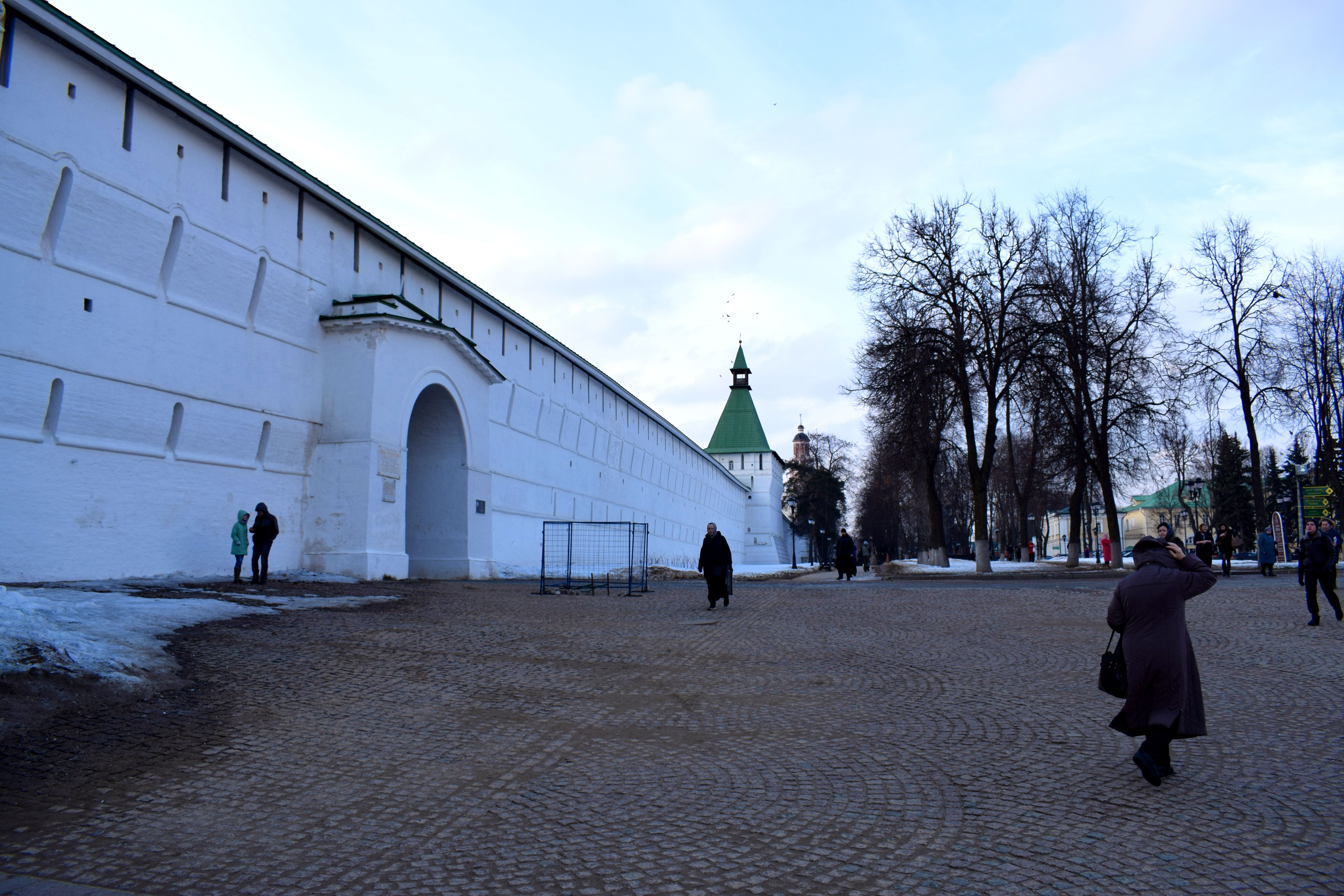
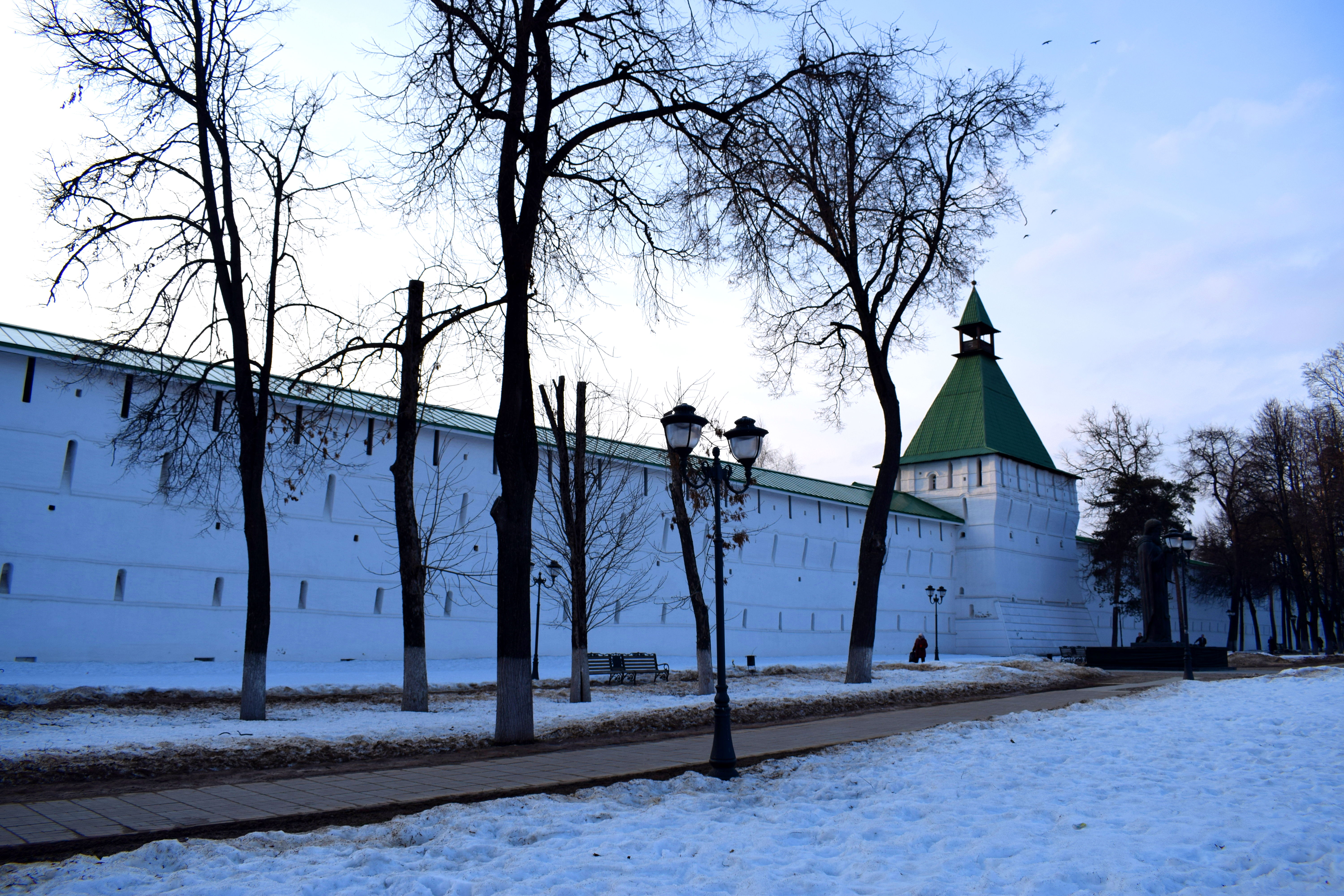
 The walls of the monastery. Throughout the centuries these walls helped protect the monastery from repeated attacks from invaders. In 1408 the monastery was devastated by a fire after a Tatar unit attacked it. The biggest threat to the monastery would appear two centuries later during during a 16-month Polish-Lithuanian siege from 1608-1610. A Polish army of 15,000 attacked the monastery in the winter of 1908. Despite significantly outnumbering the Russian army of around 2,000, the Russians managed to hold back the Polish army which retreated to the town of Dmitriev afterward.
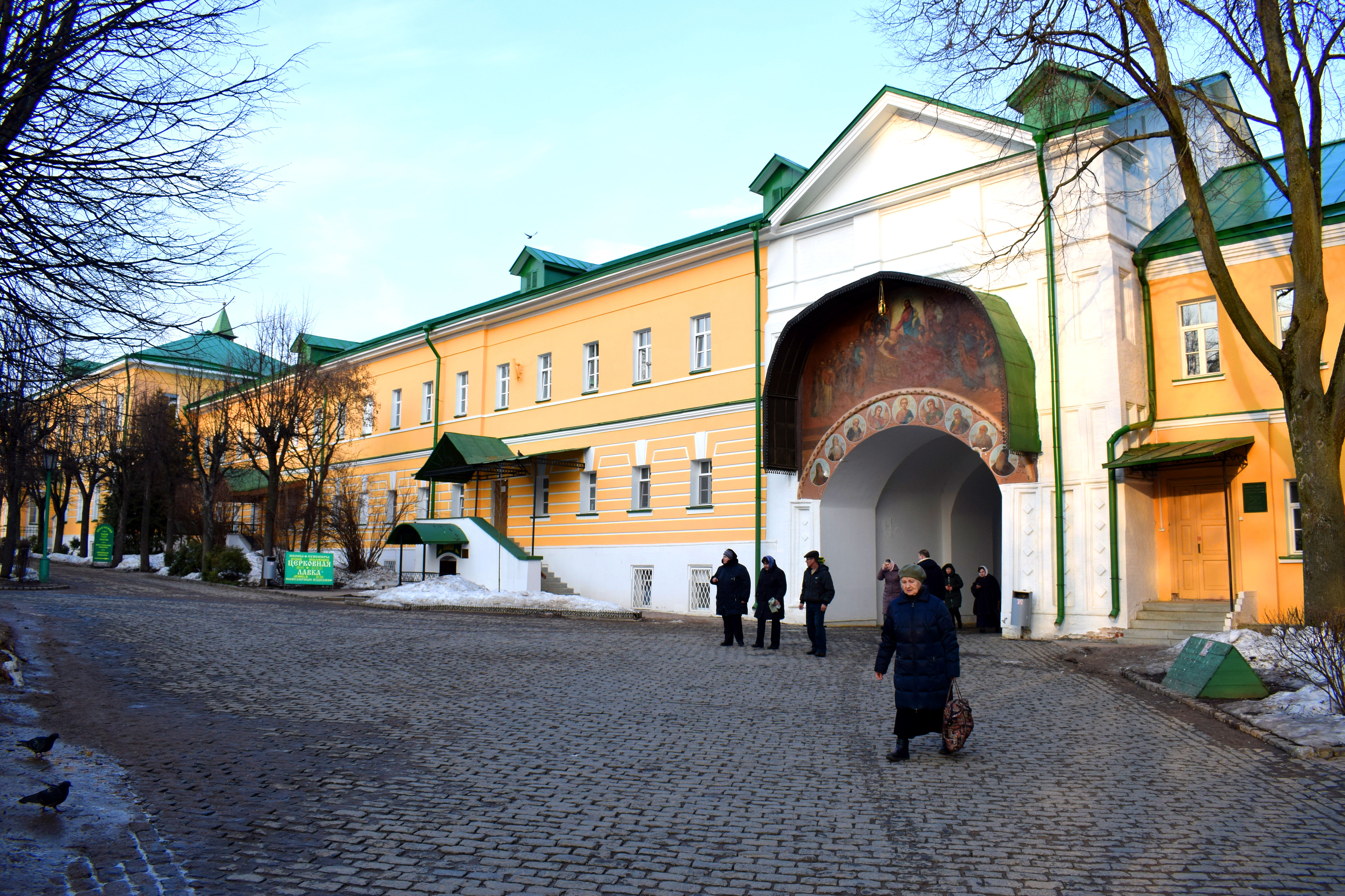
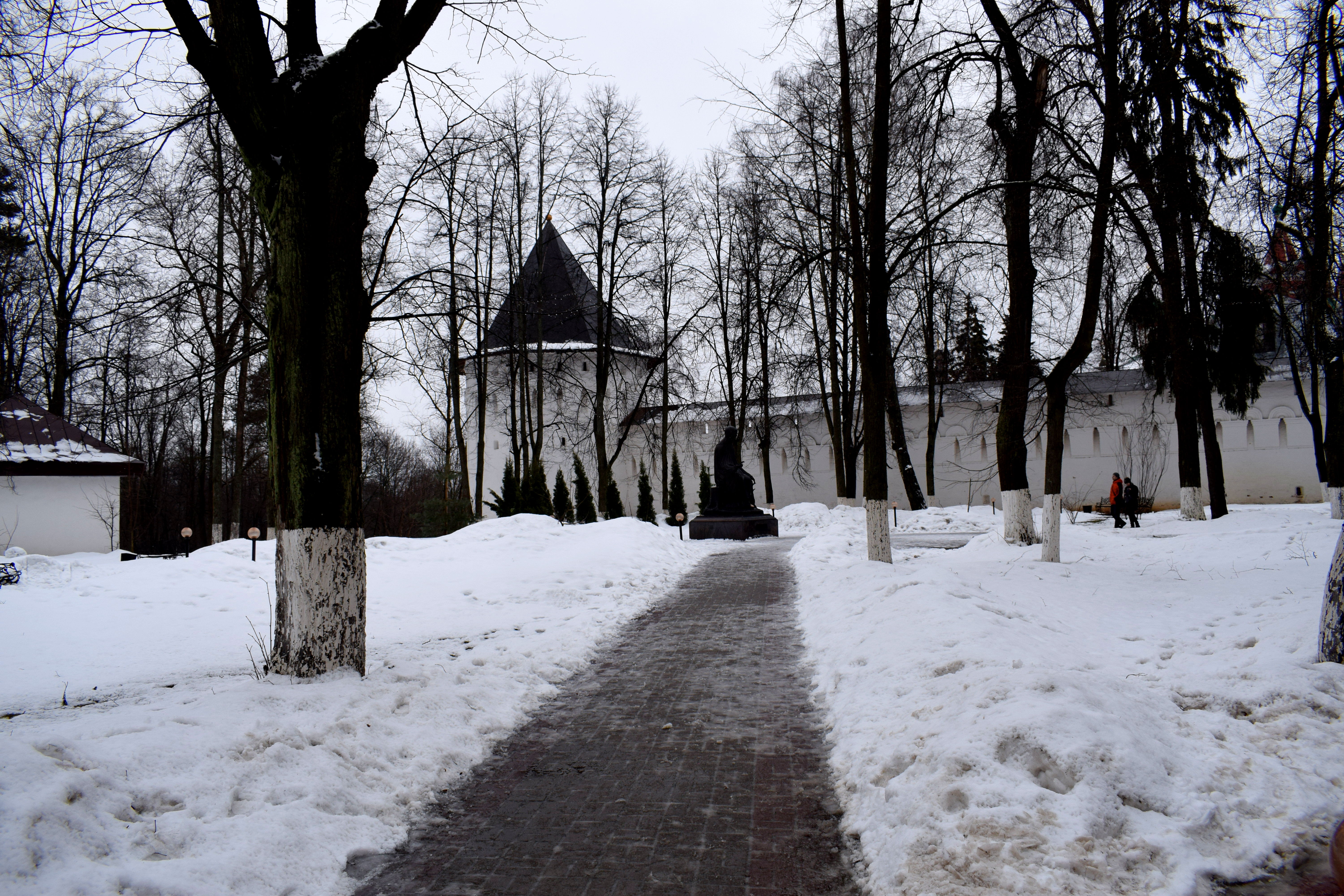
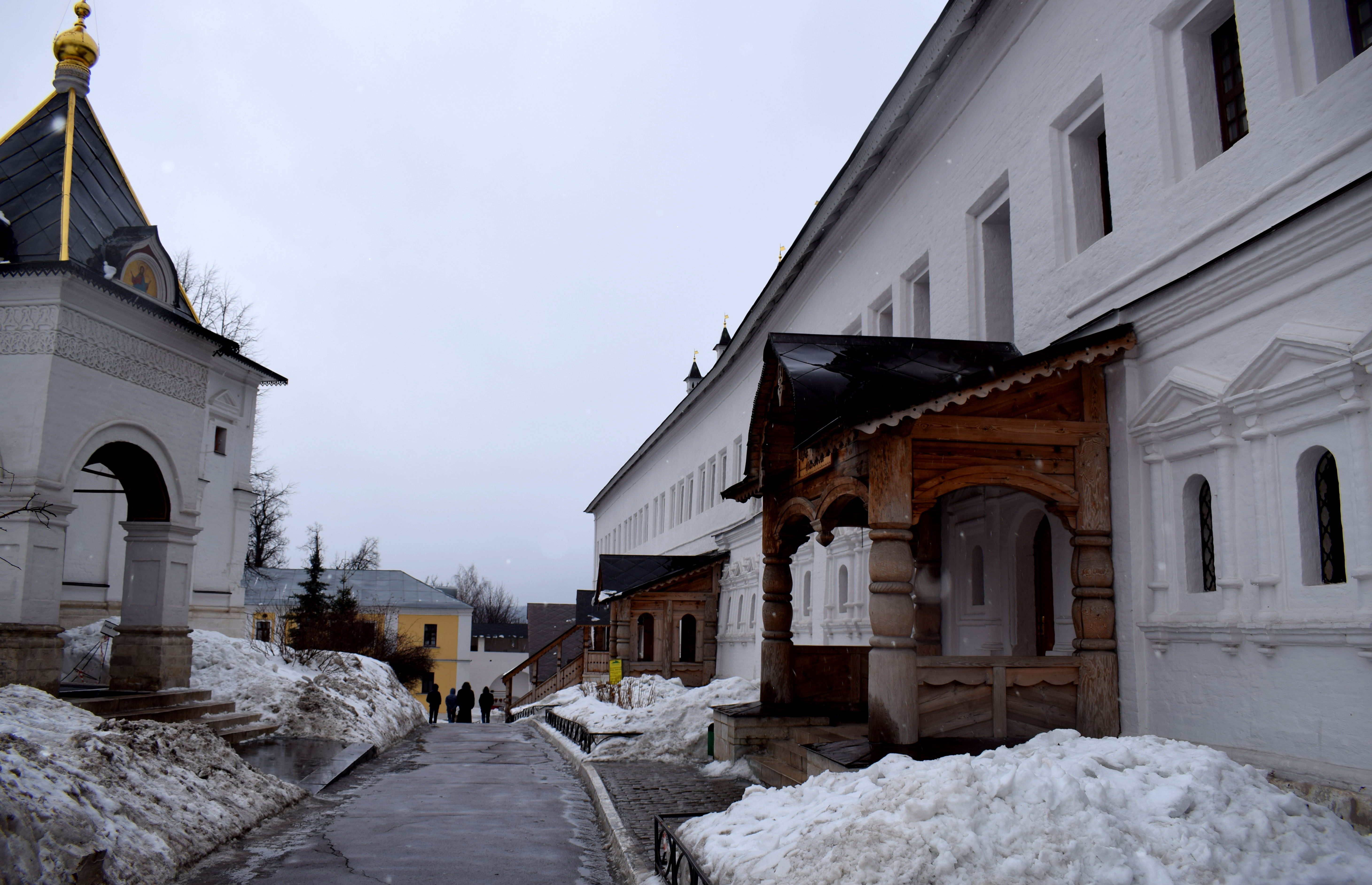
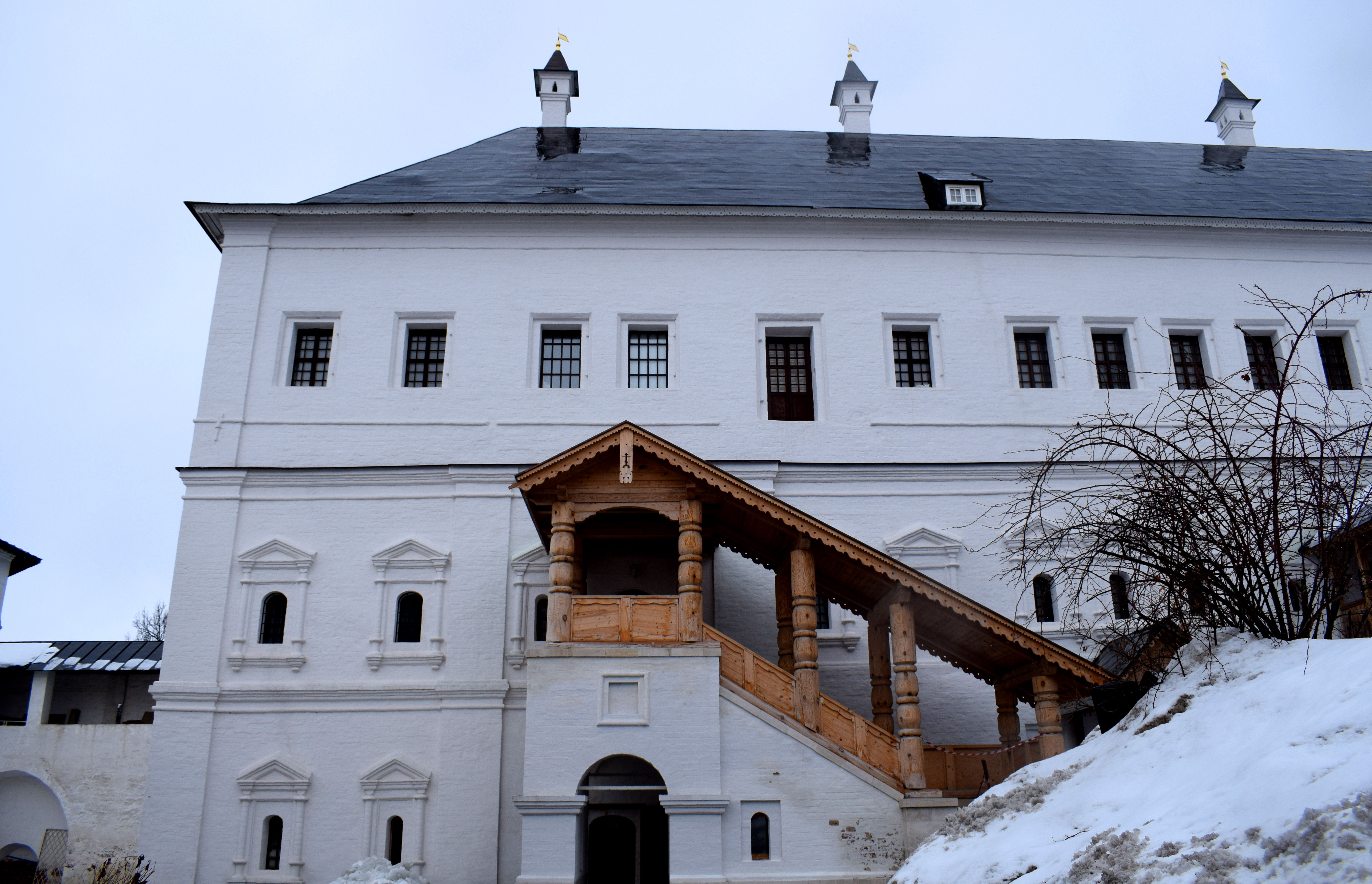
 The entrance to the monastery.
 Beautiful murals line the walls of the entrance.
 Inside the monastery.
 The entrance from the back. The monastery gets hundreds of visitors every day from people all over Russia.
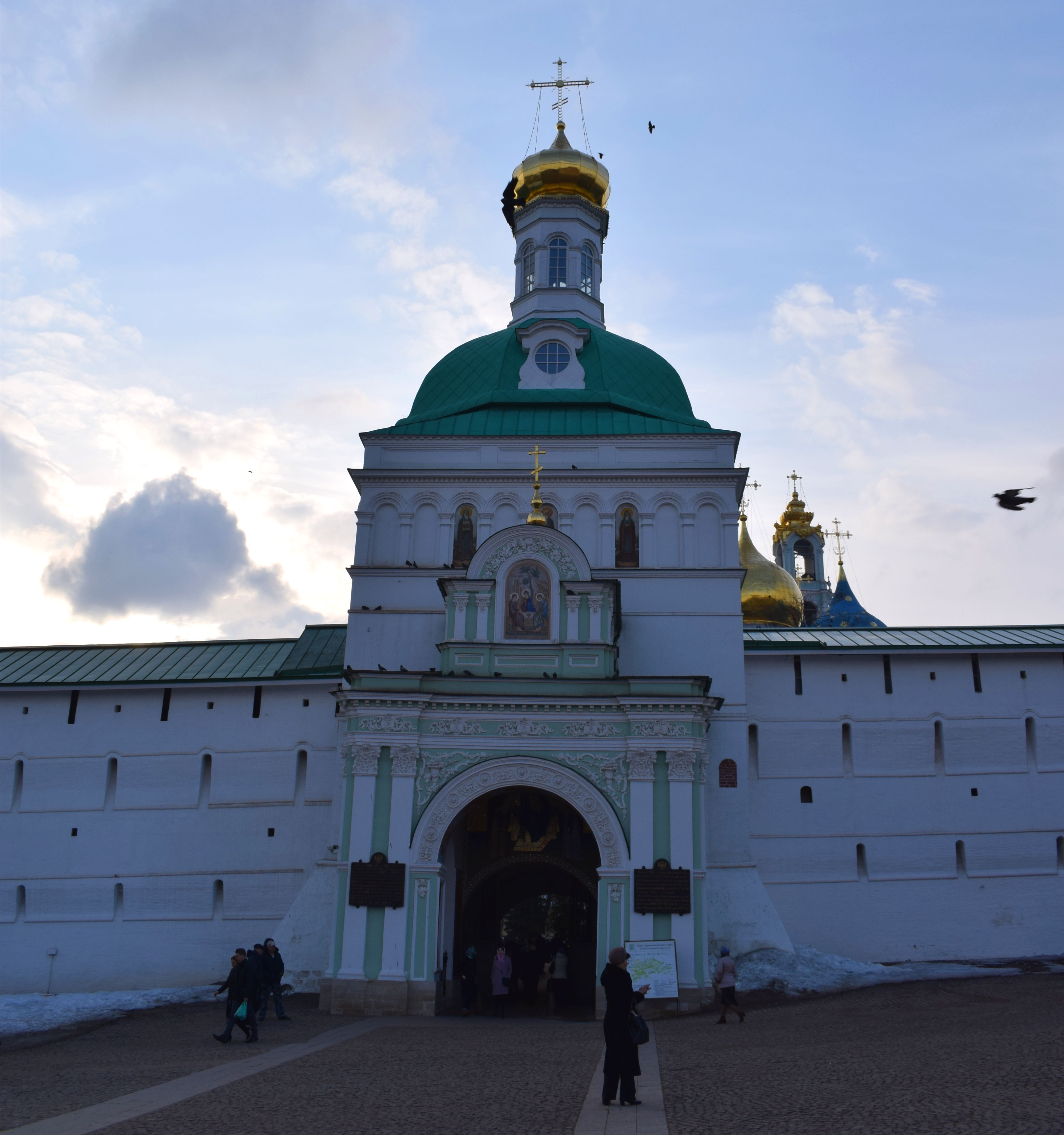
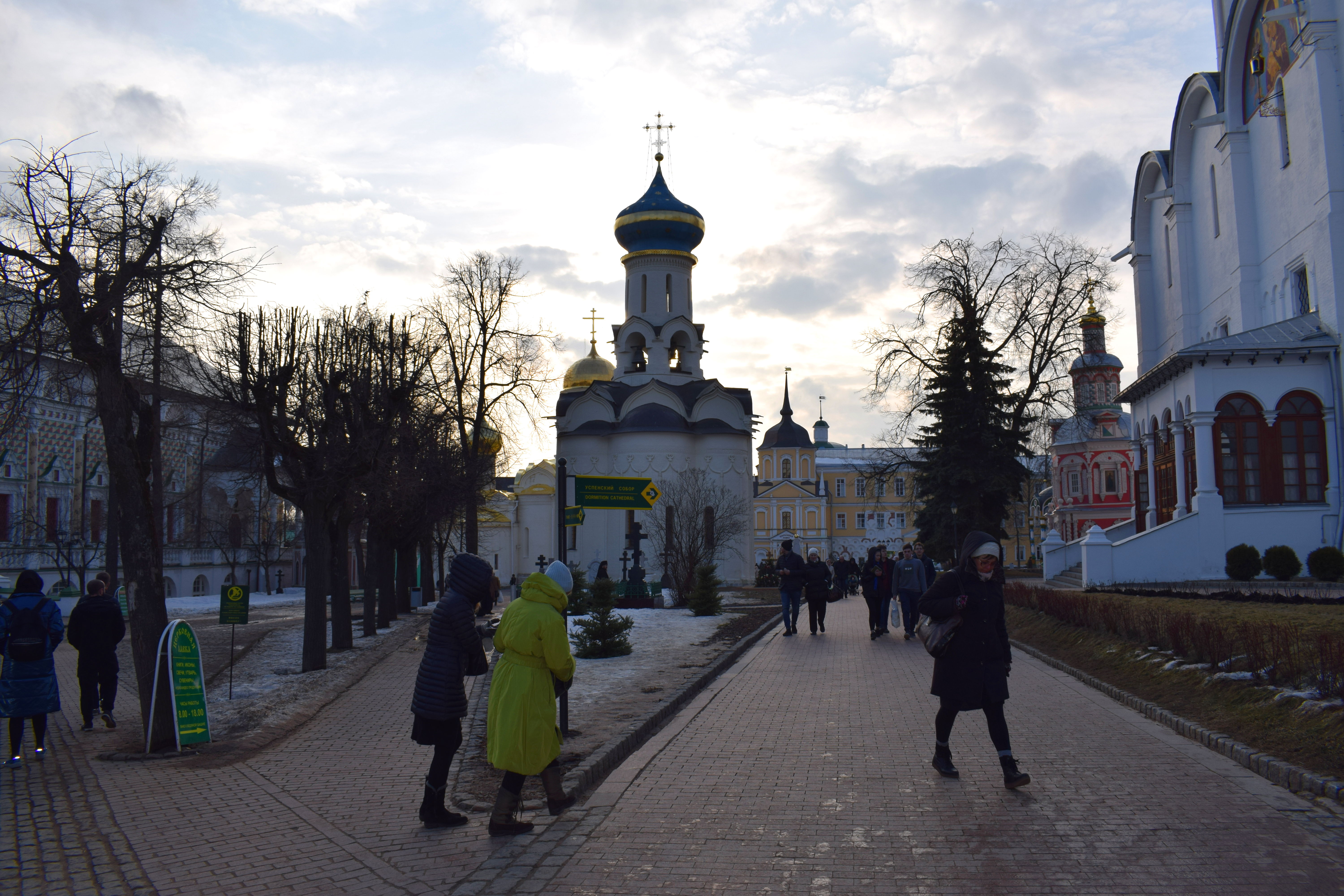
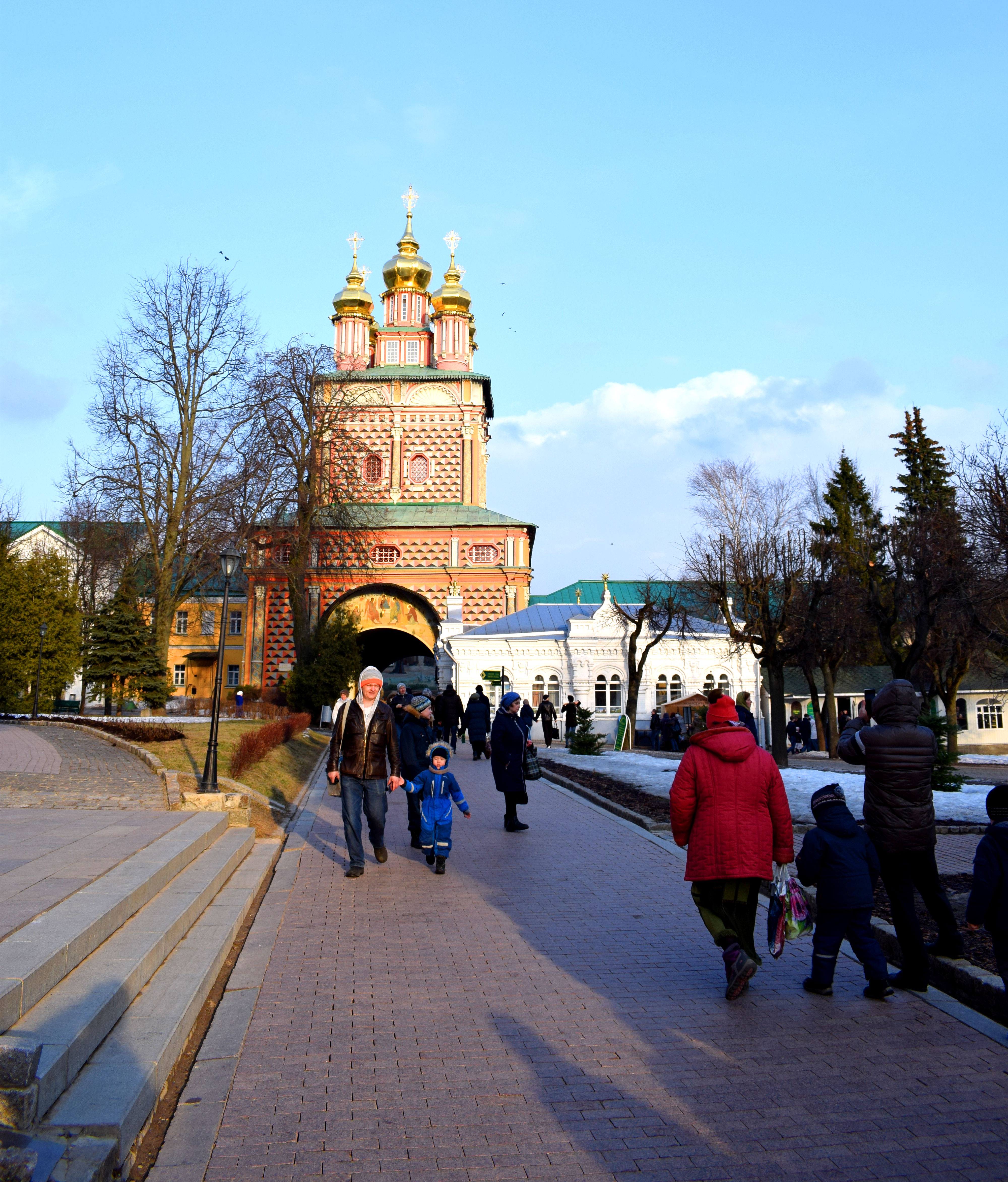
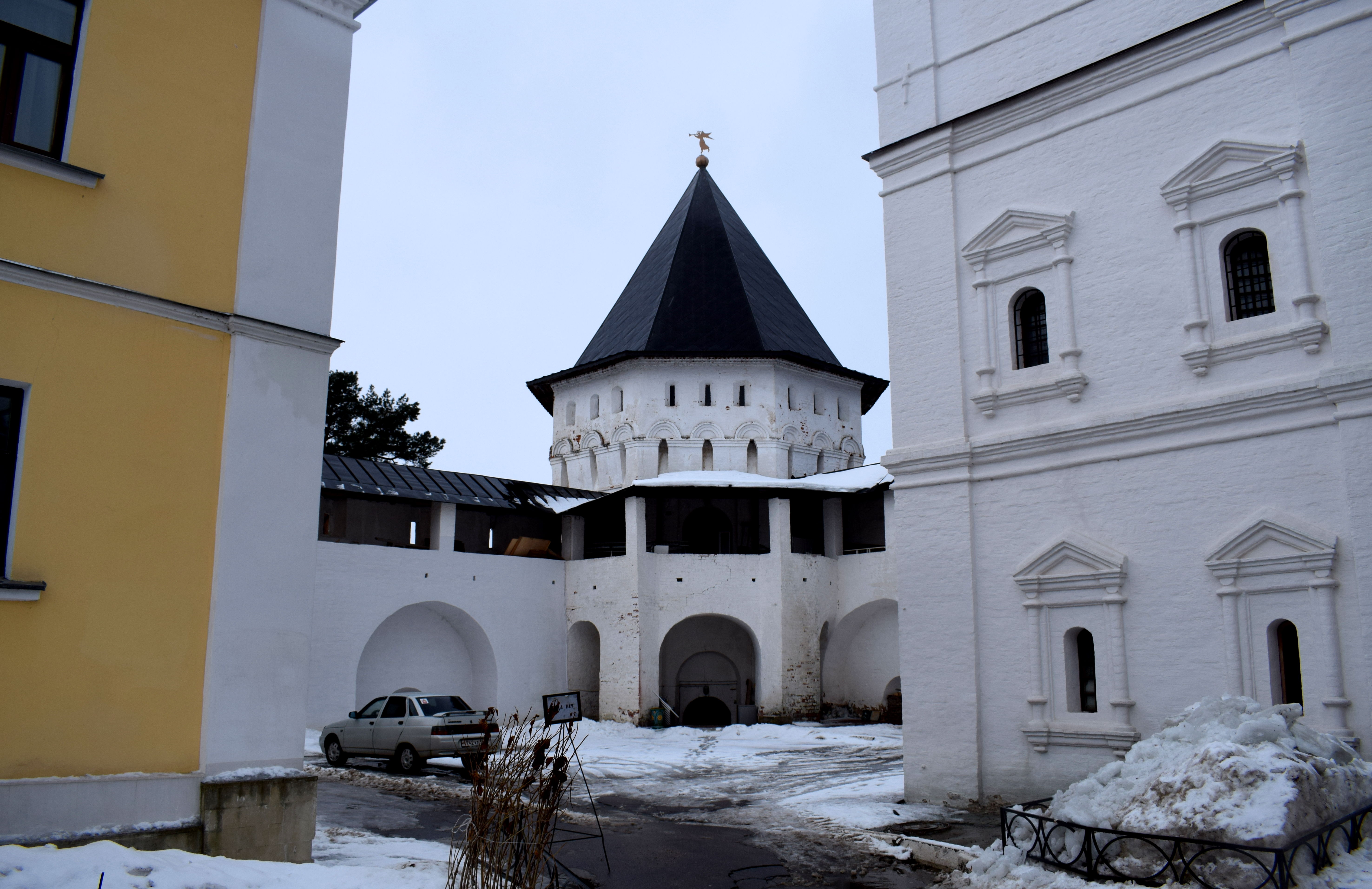
 The Predtechensky Church built on top of the entrance to the monastery between 1693-1699.
 The first stone cathedral in the monastery, the Troitsky Sobor. It was built in 1422 by Serbian monks who had fled to the monastery after the Battle of Kosovo in 1389. The frescoes in the walls were painted by the greatest icon painters in Medieval Russia at the time, Andrei Rublev and Danil Chyorny. Muscovite Royalty was traditionally baptized in the church over the centuries.
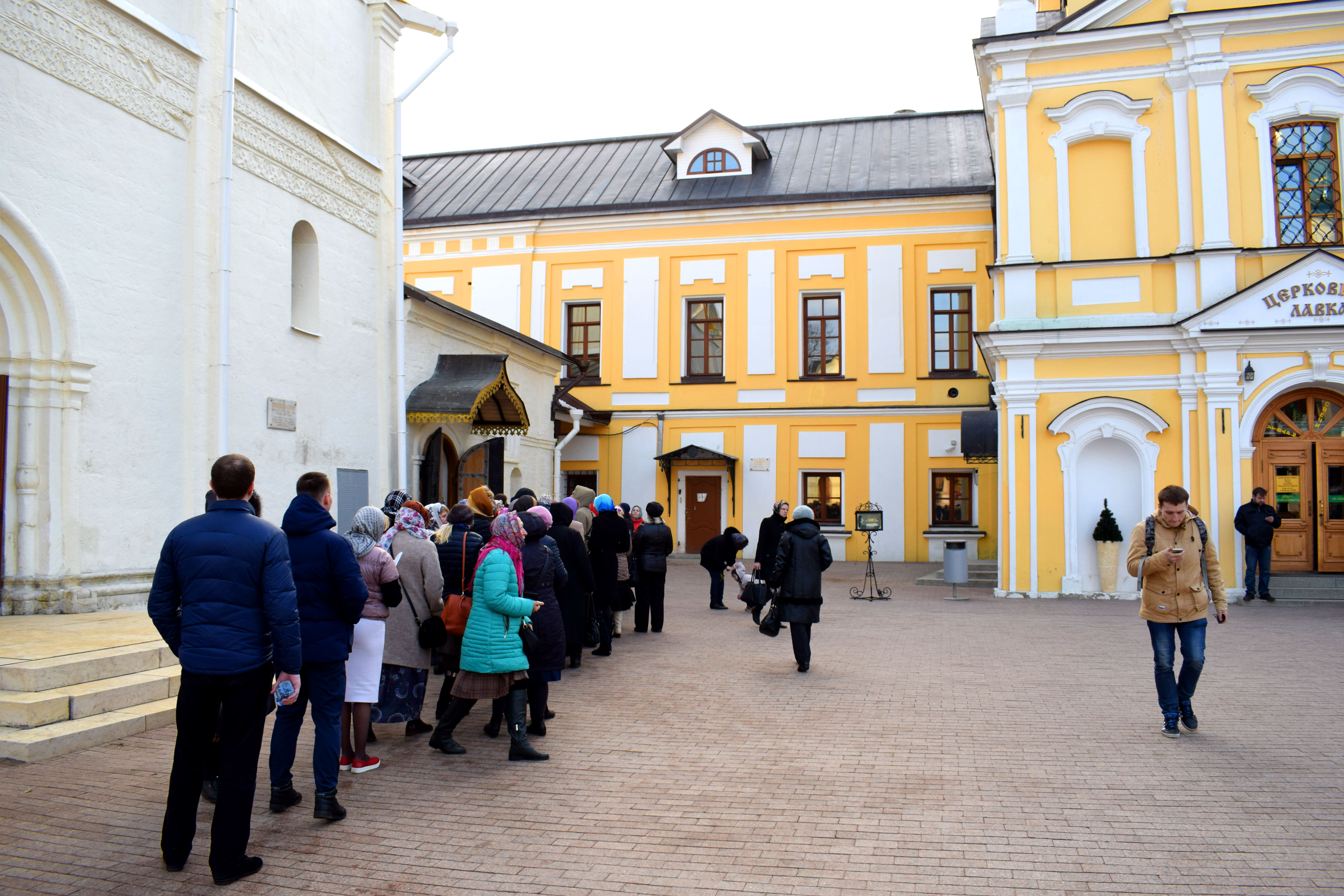
 People lining up to enter the church.
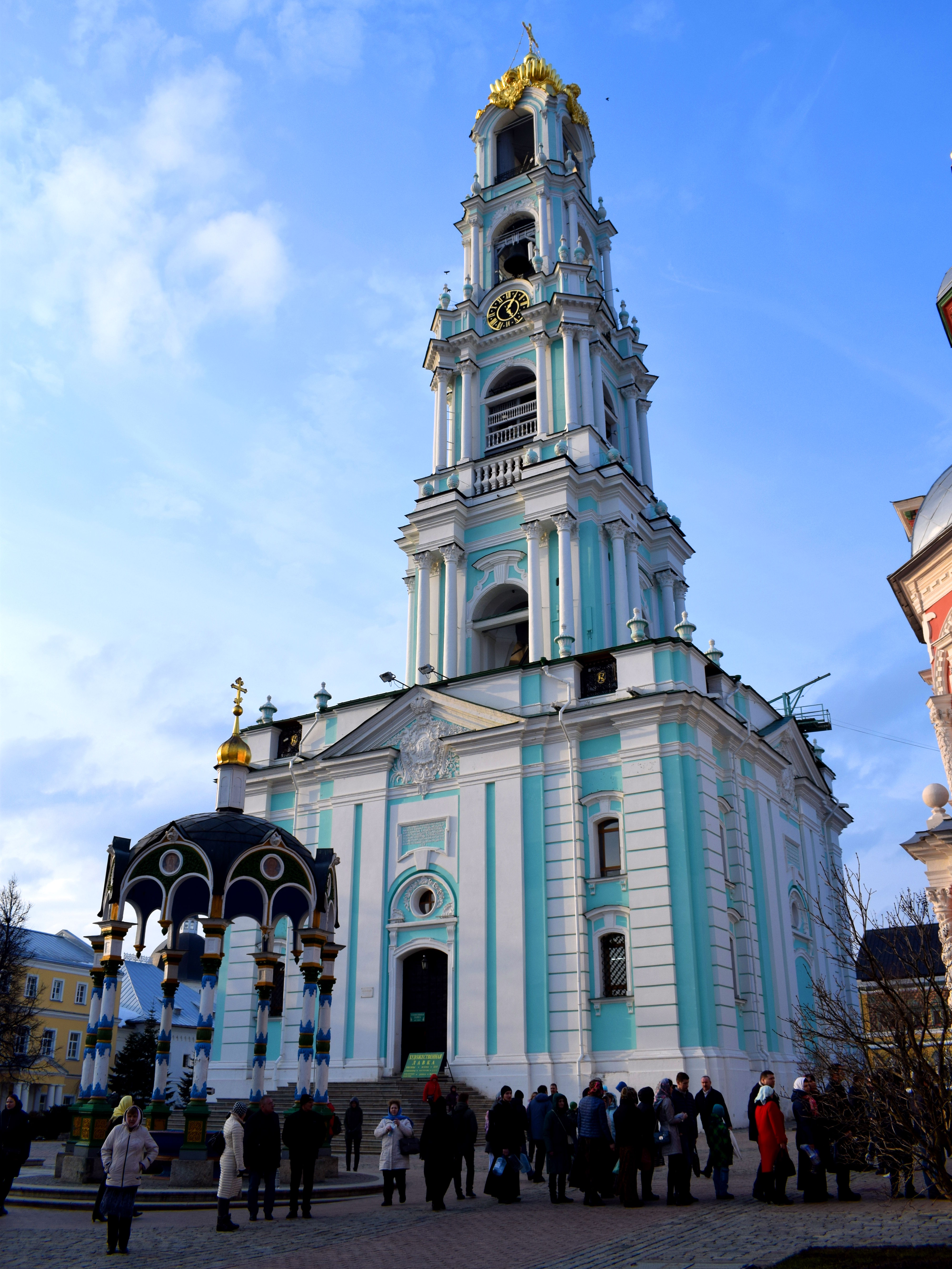
 The Sergiev Posad Bell Tower, built between 1741 and 1770. At 88 meters high, it is a fine example of Russian Baroque architecture and at one point had 50 different bells. In 1930 the Bolsheviks destroyed 25 of them, including the largest weighed over 64 tonnes. New bells were added to the tower in 2002-2004.
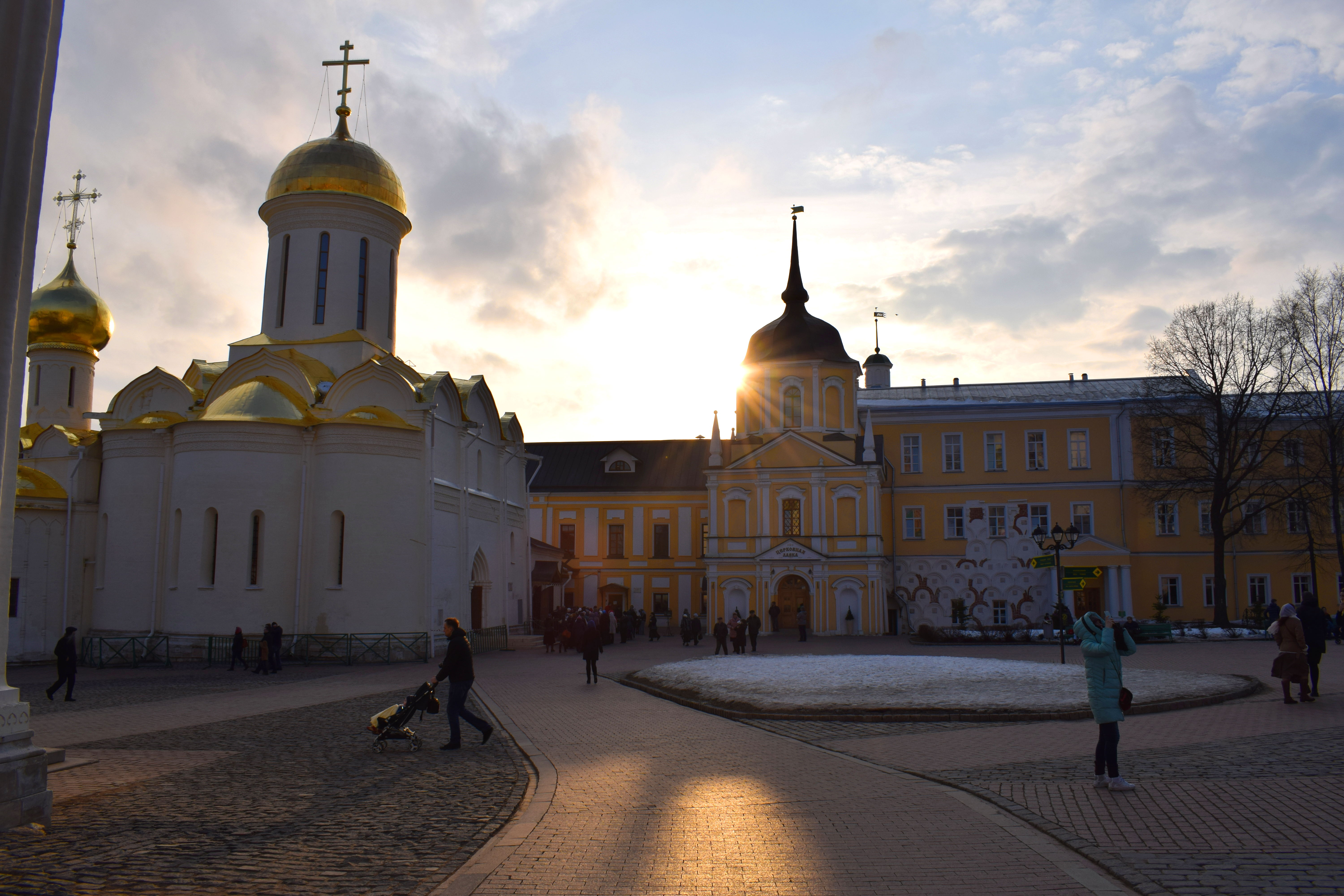
 The Uspensky Sobor built in 1585. The church’s layout and design is very similar to the Uspensky Sobor in Moscow’s Kremlin that goes by the same name. The Uspensky Sobor is the biggest church in the monastery. The smaller church in front of the Uspensky Sobor is called the ‘Chapel Over the Well’ church. It was built later in 1700.
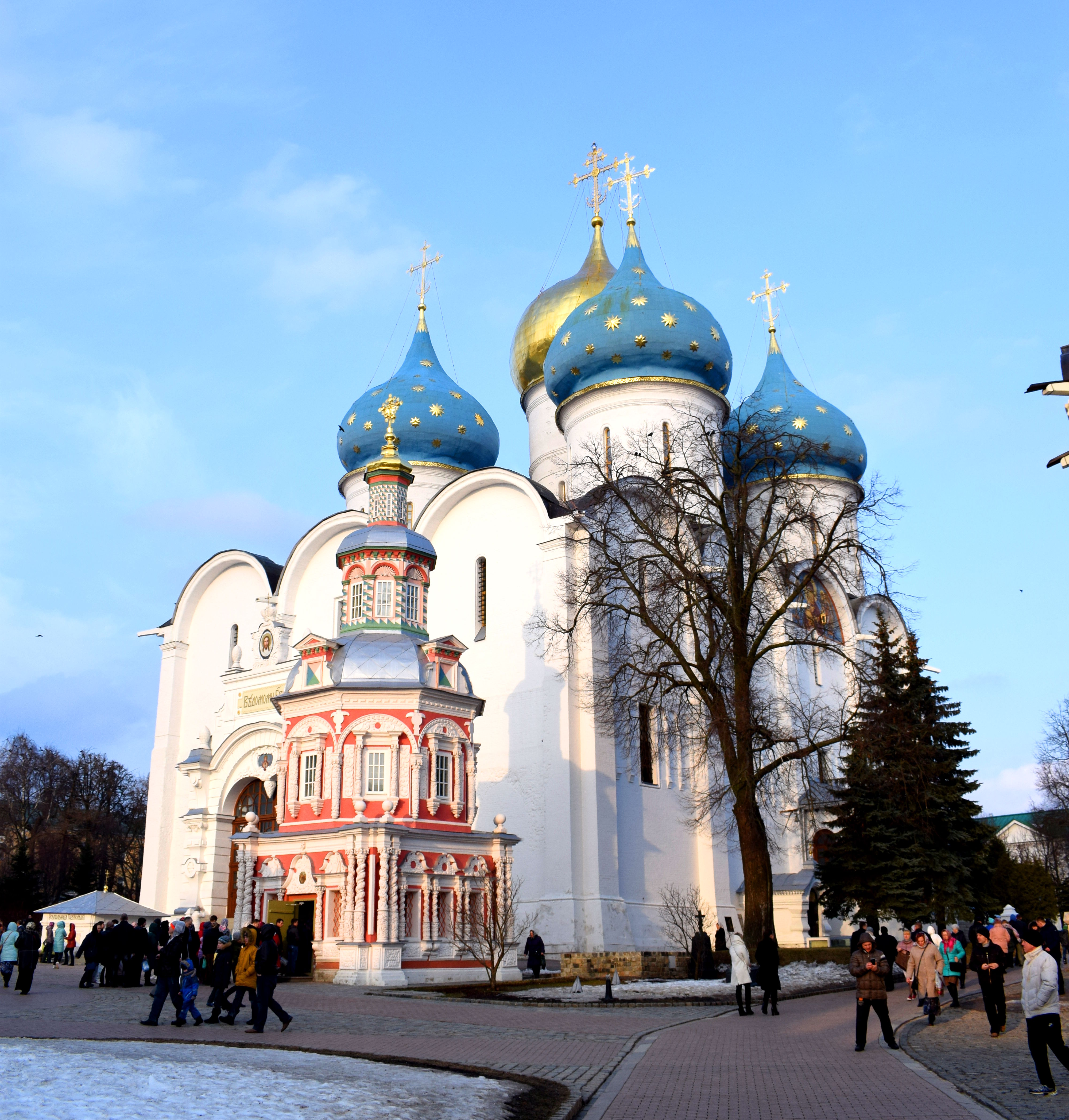 The Uspensky Sobor and the Chapel Over the Well Church on the left and on the right is a church named after the descent of the Holy Spirit on the Apostles, built in 1476.
 People lining up to enter the Chapel Over The Well Church.
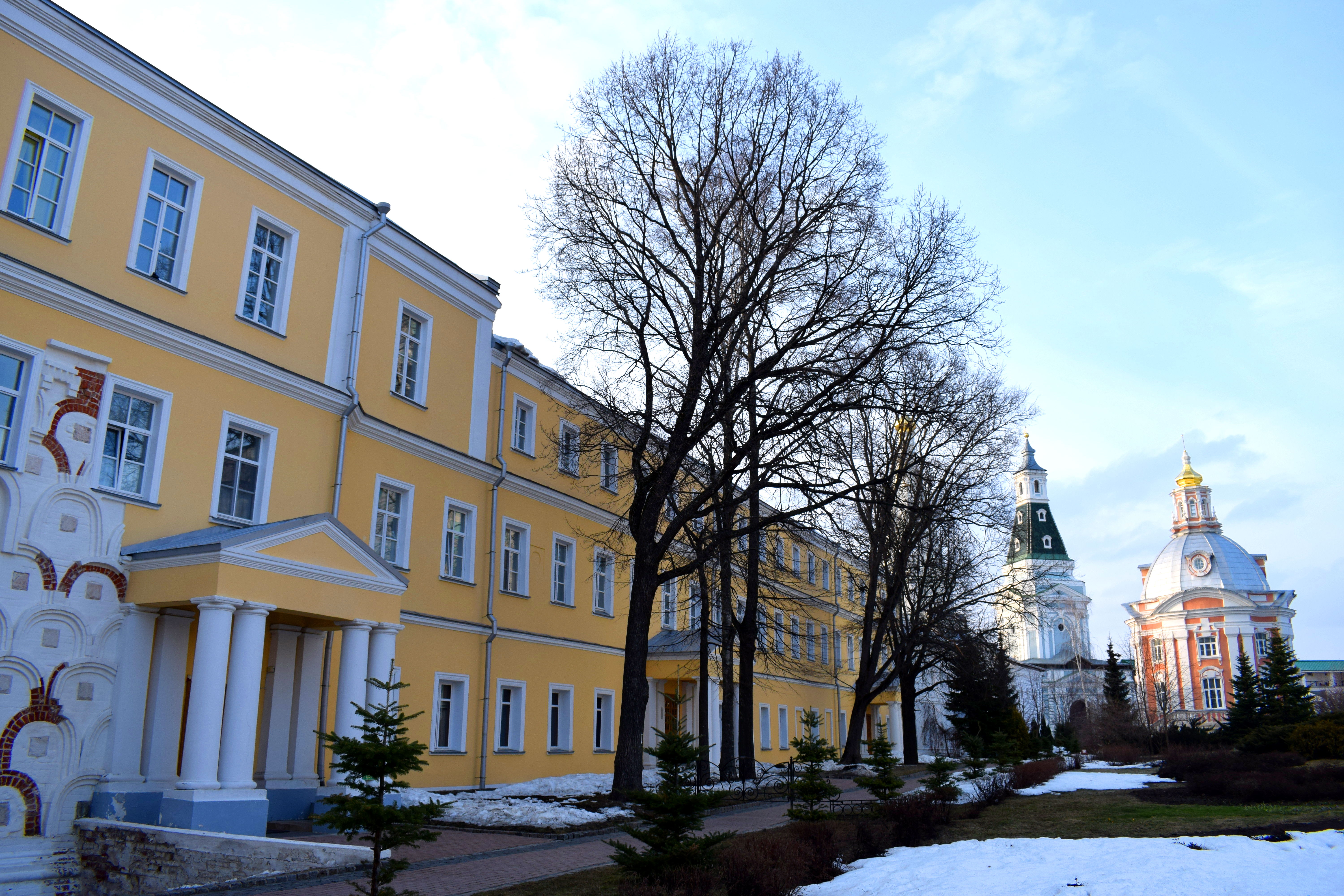
 More buildings in the monastery.
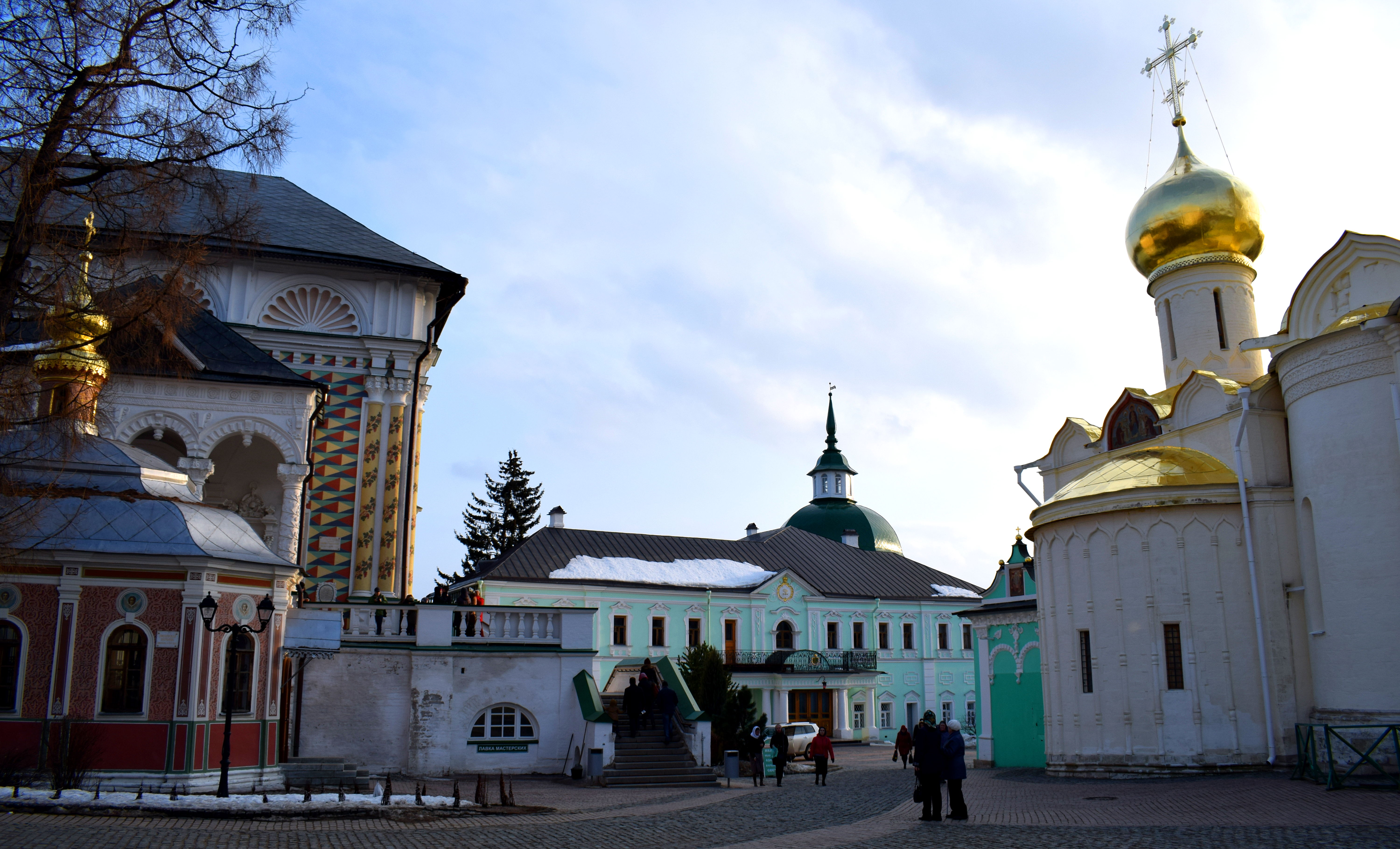
 Exiting the monastery.
 Back outside near the walls.
 The square in front of the monastery. In the early 20th century the area square was filled with traders and shopkeepers who sold their goods and services to locals. The Soviet Union closed down the shops in the latter half of the 20th century because it viewed them as engaging in ‘profiteering’ which was against the Soviet Union’s communist ideology.
 Beside the monastery is a beautiful park with several historical buildings, including the Old Monastery Inn built in the neoclassical style in 1825 and partially rebuilt in the same style after a fire in 1838. After the 1917 revolution the building was nationalized and became the property of the state. In 2000 it was returned to the monastery and renovated in 2005-2007.
 Sergiev Posad also has its fair share of historical buildings. The main street in Sergiev Posad is Red Army Prospect which runs parallel to the monastery. These buildings were built in the 1880’s. At the start of the 20th century the yellow building on the corner hosted Sergiev Posad’s women’s gymnasium.
 Sergiev Posad’s Museum of History and Art.
 The park outside the monastery.
 The Y. Gagarin Palace of Culture, built in 1954 and an example of Soviet neoclassical architecture.
 Some old buildings on our way back to the train station.
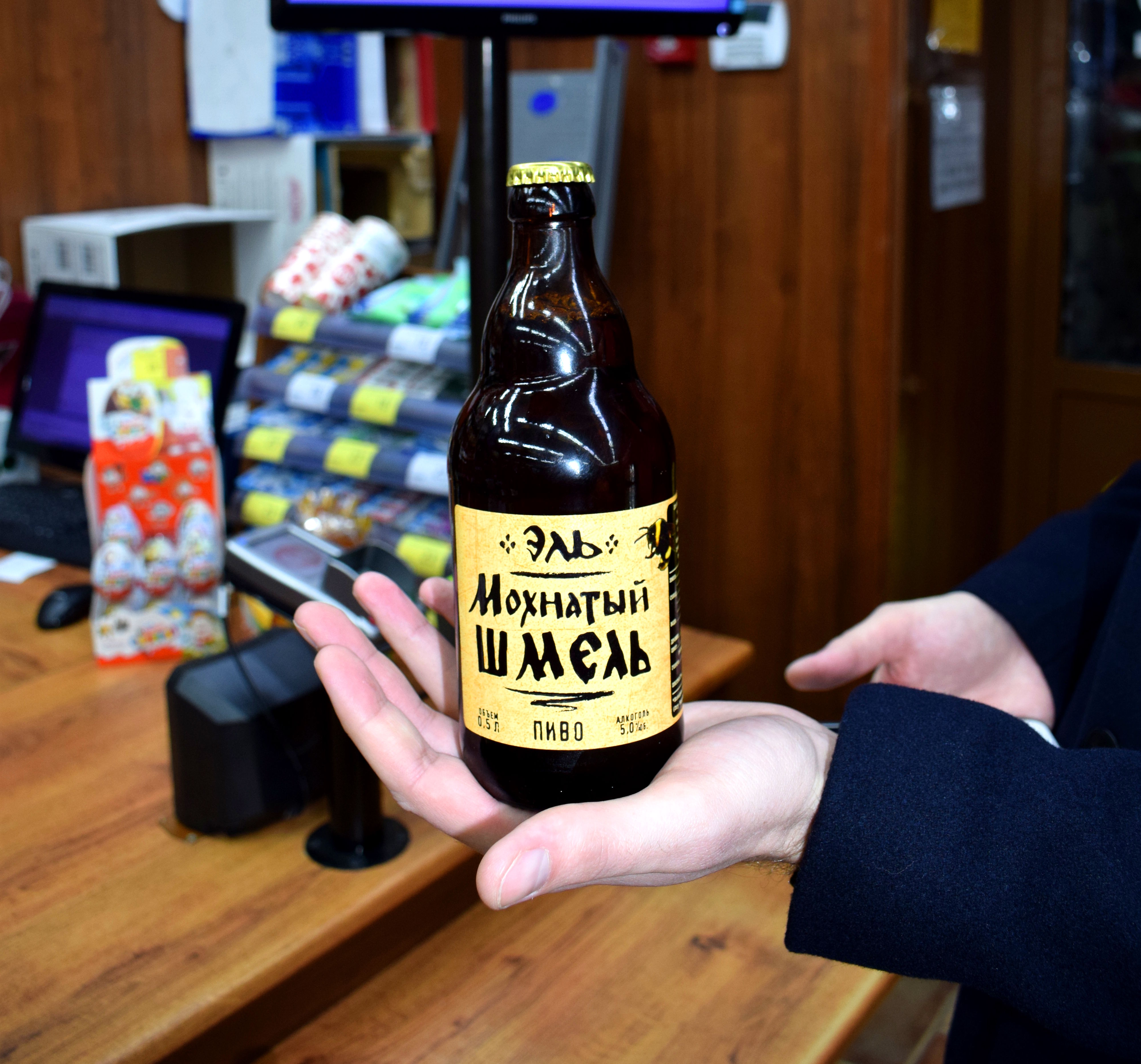
 Before catching the train we decided to stop by a local store to buy our favorite Russian beer ‘Mohnaty Shmel’, which translates into English as ‘furry bumblebee’. The beer is named after a famous Soviet song and it is by far the best Russian beer I have found so far. Highly recommend trying it.

Moscow Region Day Trips: Zvenigorod
Zvenigorod is a small Russian city located 45 kilometers west of Moscow on the Moskva River. According to the last census in 2010, the town had a population of just 16,395, which makes it astronomically tiny by Russian standards.
The city is best known for the Savvino-Storozhevsky Monastery located on top of a hill overlooking the Moskva River. The city also hosted the famous Russian short story writer and playwright Anton Chekhov after he graduated university in Moscow in the late 19th century. There are stories that Chekhov was such a rowdy character that he got in trouble with the local police who repeatedly fined him for the lavish, drunk parties he threw in the village.
The easiest way to get to Zvenigorod is to take an elektrichka from Moscow’s Belorusskaya Railway Station. The ticket costs 154 rubles, or around $3, and takes an hour and 25 minutes to get there.
 Getting off at Zvenigorod station. It was a cold, cloudy and snowy day in early March when we visited.
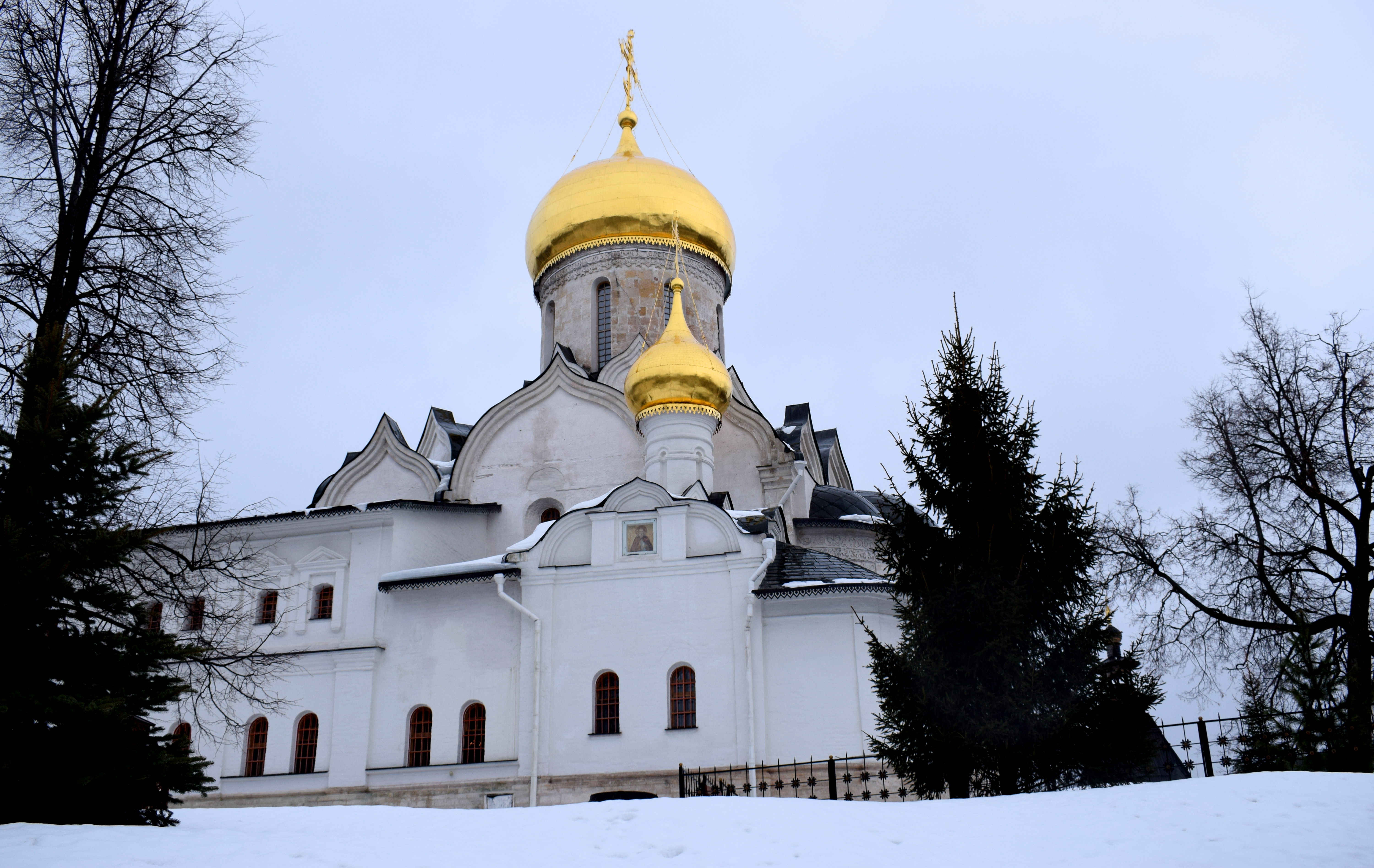
 Zvenigorod was first mentioned in historical records in the late 1300’s. The city’s main tourist attraction is the Savvino-Storozhevsky Monastery, located about 1.5 kilometers from the city center. It was founded in 1398 by Savva Storozhevsky and is one of the few remaining artifacts of 14th century Muscovite Russia architecture.
 Part of what makes the monastery so special is that it is essentially hidden in a forest, with trees surrounding the monastery from all sides. During the summer and fall when the trees are filled with leaves the monastery is barely visible.
 There are also several estates and old homes sprinkled around the woods.
 Over the centuries the Savvino-Storozhevsky Monastery survived several episodes where it could have been completely destroyed. During the Polish invasion of Russia in the early 17th century the Poles captured the area on their way to Moscow. Two hundred years later the French would do the same under Napoleon in 1812.
 The biggest threat to the monastery however came when the Bolsheviks took power in Russia following the Russian civil war in 1922. They declared an end to the old tsarist order and called for the destruction of private property and religion across Russia. As such, the regime’s biggest enemies became wealthy landowners, peasants and the church. In the 1930’s Stalin began demolishing churches across all of Russia. In 1936 there were plans to raze the monastery entirely and build a stadium in its place. Thankfully it was spared after prominent cultural figures lobbied for its rescue.
 Part of what makes the monastery so attractive is its location on top of a hill overlooking the Moskva River. The view is even prettier in the summer and fall when the river is visible.
 Historically the monastery had a total of seven bell towers, but only six have survived.
 A final threat to the monastery arose during the German invasion of the Soviet Union in WWII. The German army reached the outskirts of Moscow but never captured the city. Although Moscow was bombed by the Germans and hundreds of other cities to the west of Moscow were destroyed, Zvenigorod was skipped over. Many Russian cities that lie west of Moscow were significantly damaged during WWII, with some seeing more than 70% of their historic centers destroyed, such as Voronezh and Belgorod. Zvenigorod managed to escape this fate.
 The entrance to the monastery.
 The monastery gets a steady stream of tourists from Moscow and Russia year round. Even in the dead of winter there were tons of visitors.
 One reason people visit is because the monastery is known to make some of the best bread, pastries and cakes in the region. People often commute all the way from Moscow to buy the deserts baked by the monastery’s monks and to then sit and chat in the cafe above drinking tea.
 The interior of the cafe retains the same old wooden architecture that was there a hundred years ago.
 After leaving the cafe, visitors are free to roam around the walls of the monastery and take in the beautiful views.
 The central area of the monastery. When the Bolsheviks captured the monastery in 1918 they pillaged the frescoes and artifacts in the buildings, including the tomb of the monastery’s founder, St. Savva. It was shut down in 1919 and remained in an abysmal state for the remainder of the 20th century until the mid 1980’s when restoration efforts began.
 The Nativity of Mary Sobor, originally built in 1405. Further sections were added on in subsequent centuries.
 Zvenigorod began to decline in significance as a political and religious center following the 15th century. But in the mid 17th century the city experienced a revival in importance after the Russian Tsar Alexis decided set up his residence in the walls of the monastery.
 Tsar Alexis ruled Russia from 1645-1676. His reign oversaw wars with Poland and Sweden, the schism in the Russian Orthodox Church between Old Believers and church reforms initiated in 1653 to bring Russian Orthodox Church practices in line with Greek practices. He also ruled during a major Cossack revolt in southern Russia in 1670-1671. He spent most his time responding to these events in the walls of this monastery.
 After Tsar Alexis died he was succeeded by his eldest son Feodor III who continued to use the monastery as his primary residence. Feodor III ruled Russia from 1676 to 1682 and assumed the throne when he was just 15 years old. He would rule Russia for only five years, dying in 1682 at the age of 20. After Feodor III’s death, the monastery declined in importance, especially when Peter the Great moved Russia’s capital to St. Petersburg in 1703.
 A group of three 17th century churches originally built to be the chamber for the Tsar Alexis’ wife. The clock tower in the upper left is the tallest building in the monastery.
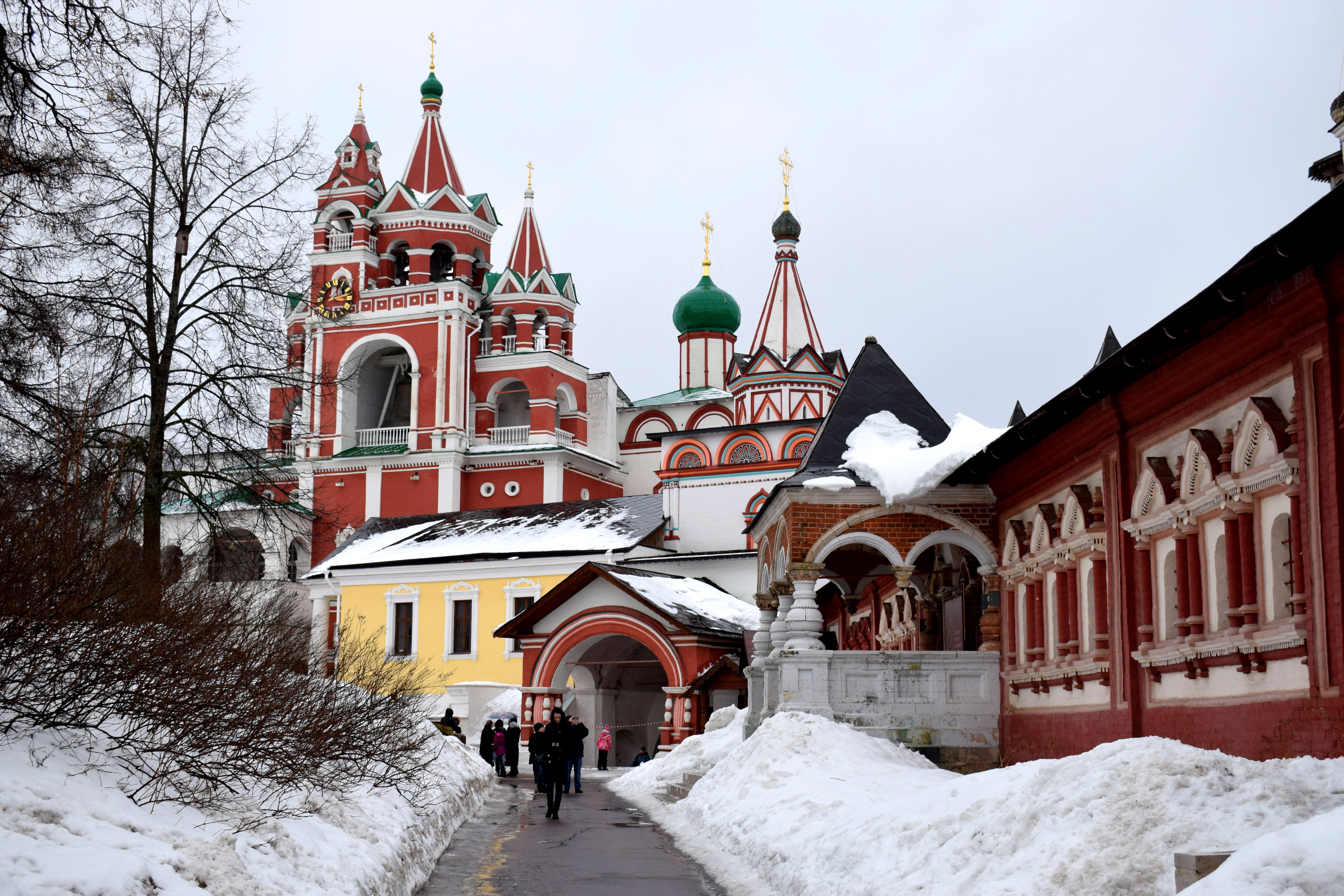
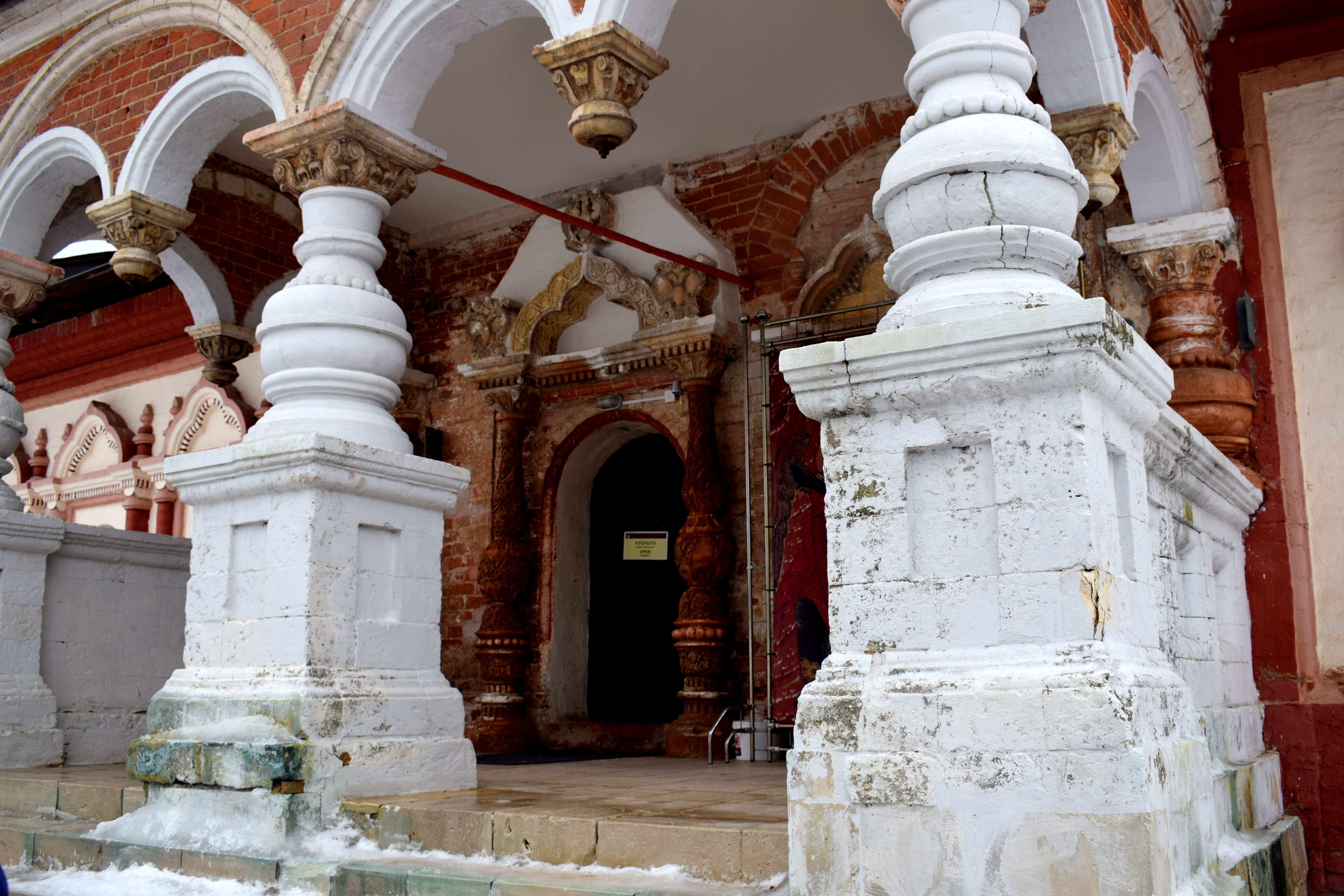
 A beautiful doorway into the orthodox cathedral.
 Back in the city center of Zvenigorod.
 Overall, the monastery is a perfect day trip from Moscow and offers a unique chance to explore the ancient churches located within its walls and warm up inside with tea and deserts known to be some of the best in the region. While we did not have time to explore the town of Zvenigorod itself, there are also several things to see and do there, not the least of which is to visit Anton Chekhov’s old house where the famous Russian writer lived after graduating university in Moscow. Even though the best time to visit Zvenigorod is in the summer and fall, for those that can brave the elements, a visit in the winter is no less rewarding.

Moscow Region Day Trips: Kolomna
Kolomna is one of Russia’s oldest cities. Located 114 kilometers south of Moscow where the Moskva and Oka rivers meet, it is a typical example of a city in Russia’s provincial countryside, seeped with rich history and cultural wonders. Founded in 1177, it has a population of only 144,589 according to the latest census from 2010. But what the city lacks in size, it makes up for in history.
How to get there:
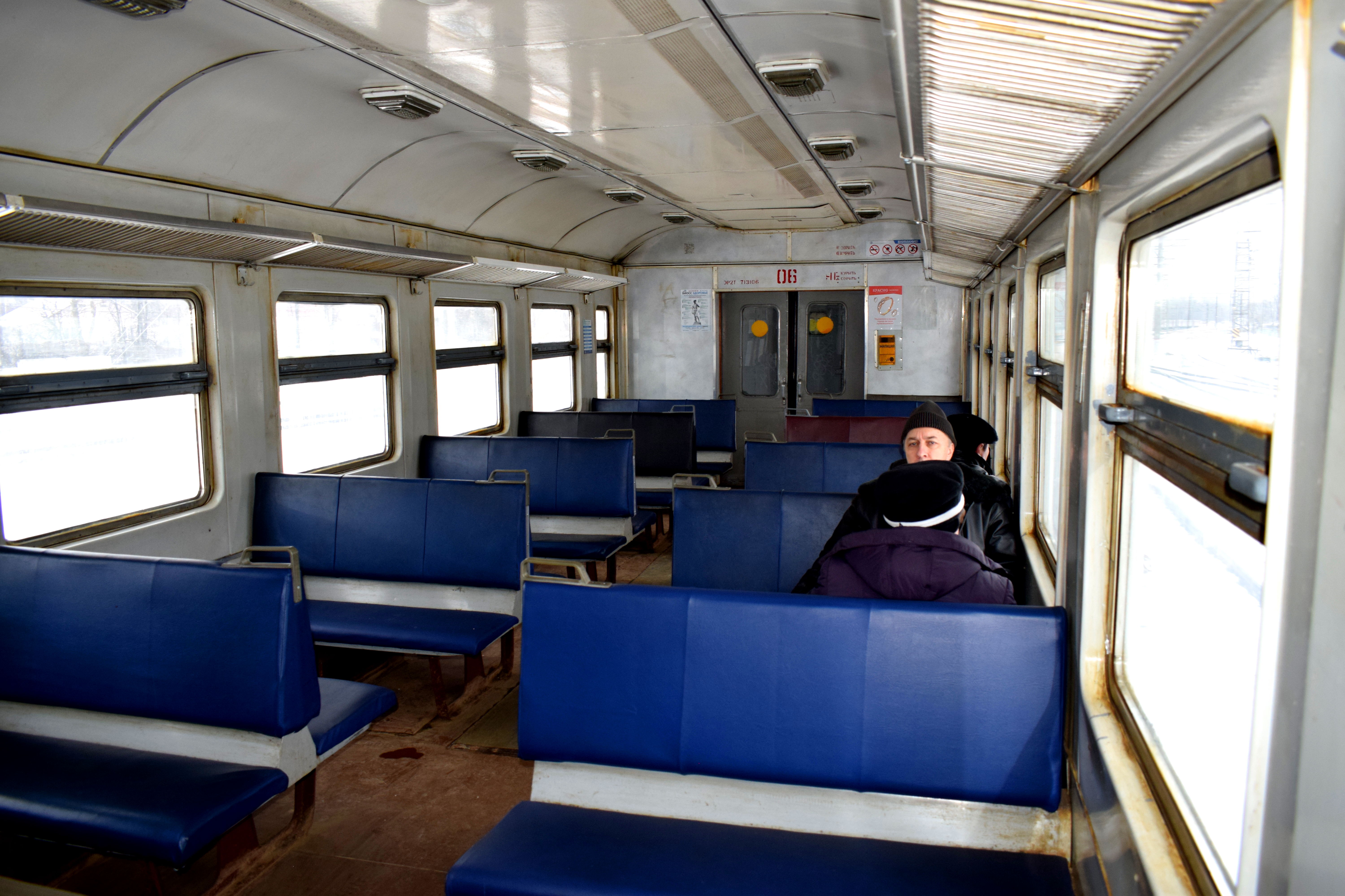
The best way to get to Kolomna is to take an “elektrichka”, the Russian word for suburban train. They leave every half hour from the Kazan Railway Station in Moscow. The ticket costs 250 rubles, or about $4.50 one-way, and the ride takes 2 hours and 20 minutes. Most elektrichkas are old and few have been updated since Soviet times. But they are fast and reliable and never late. Riding one is a blast from the past. Some things in Russia never change, and the electrichkas are one of them. You feel like you have traveled back in time to the Soviet Union with the Russian countryside whizzing past you.
 There is nothing much to see at Kolomna’s train station when you arrive. But the historic core of the city is just a short tram ride away.
 Like their suburban rail counterparts, trams are the second thing in Russia that doesn’t ever seem to change. The trams in Kolomna were particularly old, but they rattled along sturdily toward the center. Each tram comes with a conductor who you buy your ticket from. A tram ticket costs 30 rubles, or around 50 cents.
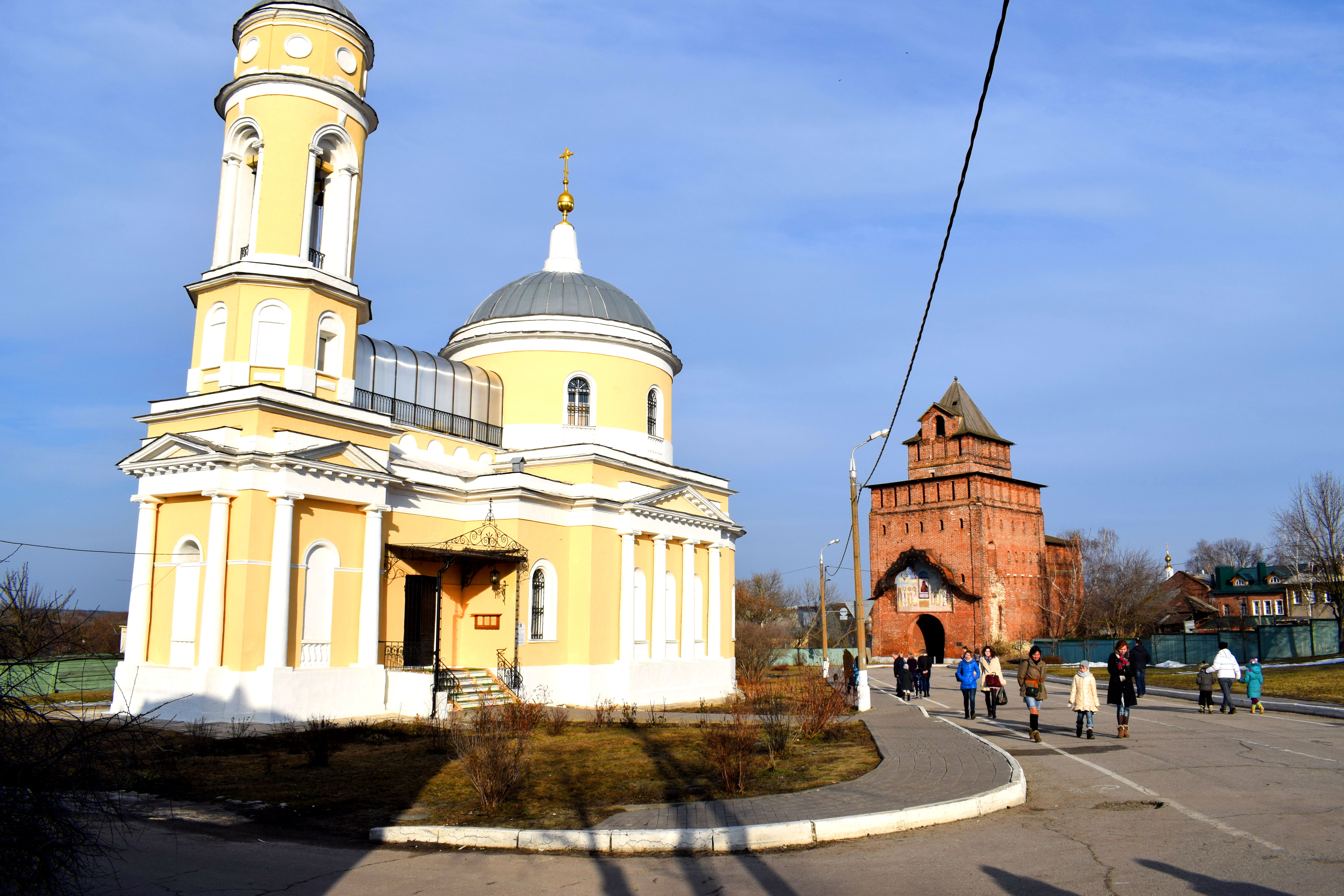
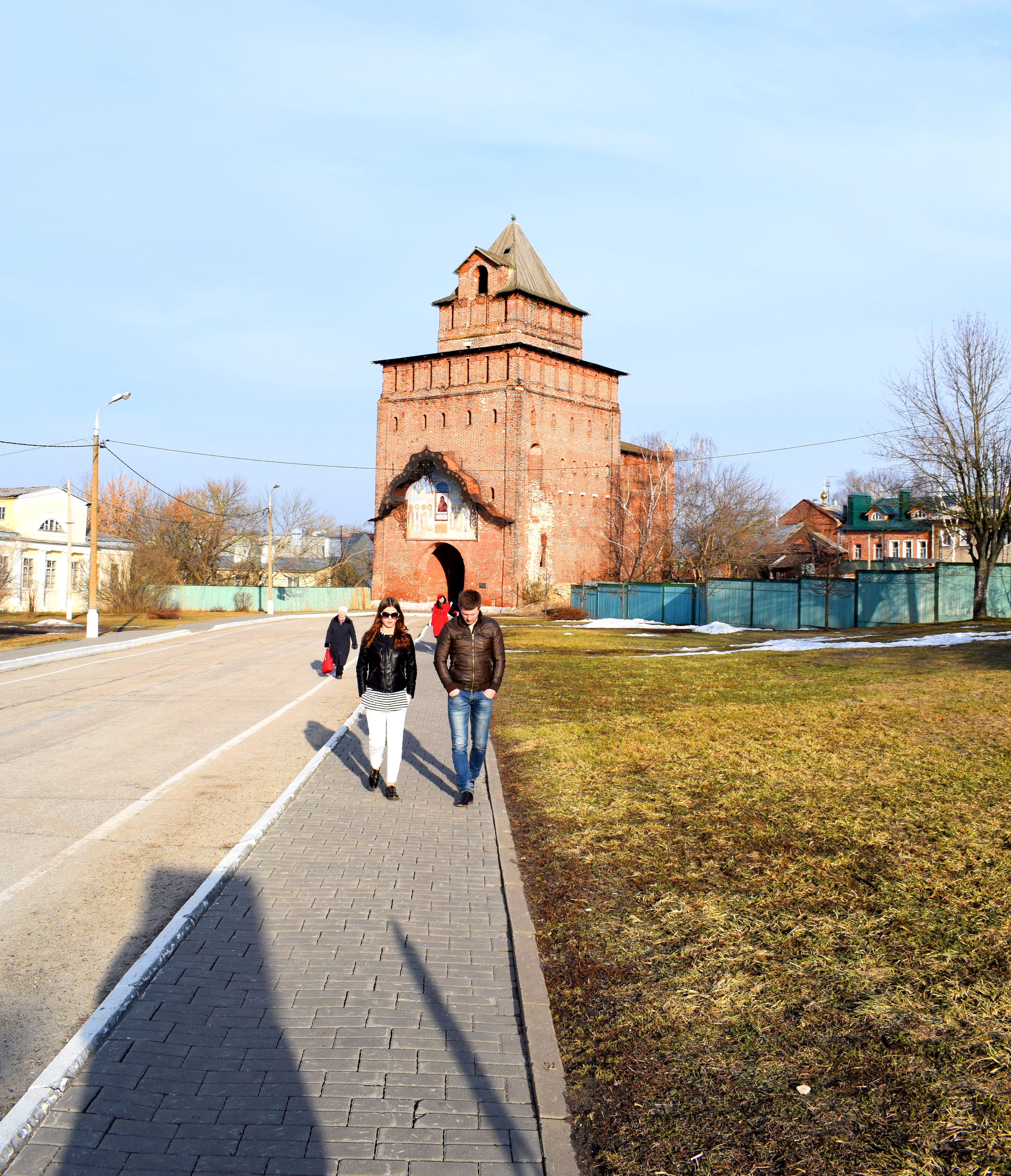
 When you see an enormous church towering high over the rest of Kolomna’s buildings, that is when you’ll know where to get off. Behold Archangel Michael’s Church, the tallest church in Kolomna, located outside the entrance to Kolomna’s Kremlin.
 Archangel Michael’s Church was built from 1820-1833 during the reign of Russian Czar Nicolas I (1825-1855). It has the hallmarks of traditional Russian imperial architecture. When the Bolsheviks came to power after WWI they closed the church down, emptied the interior of all its religious artifacts, and turned it into the city’s regional museum. It was renovated and reopened as a church in 2007.
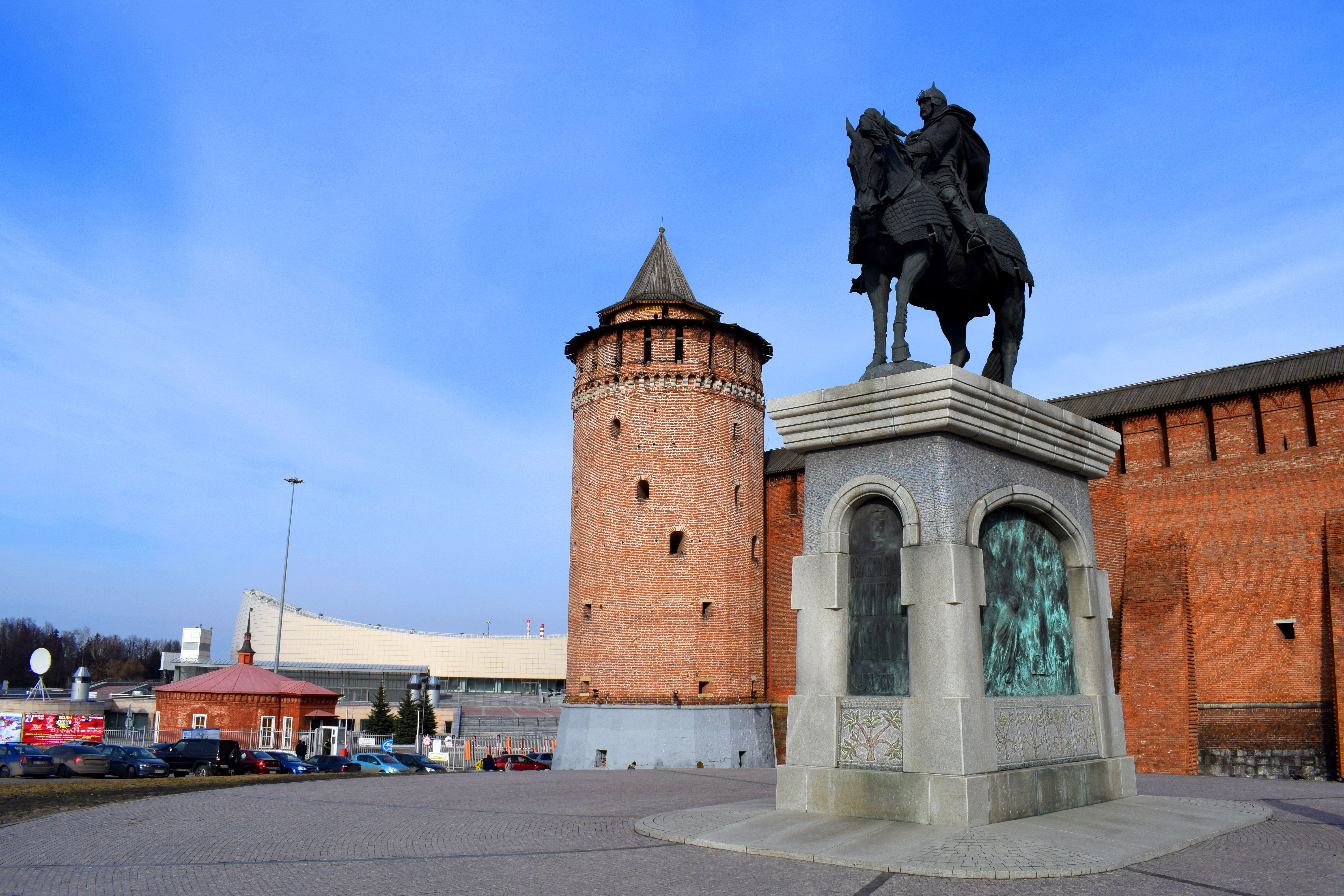
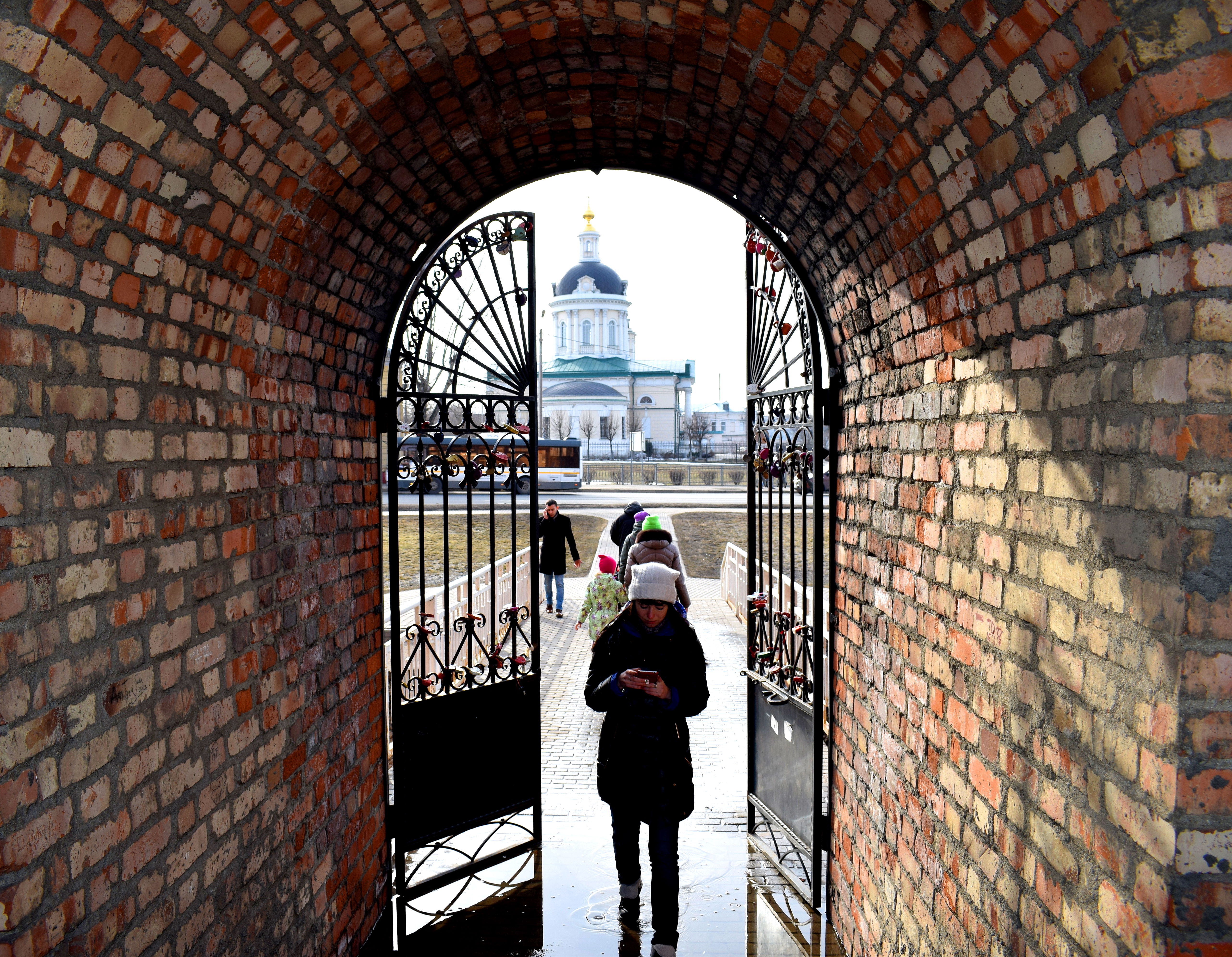
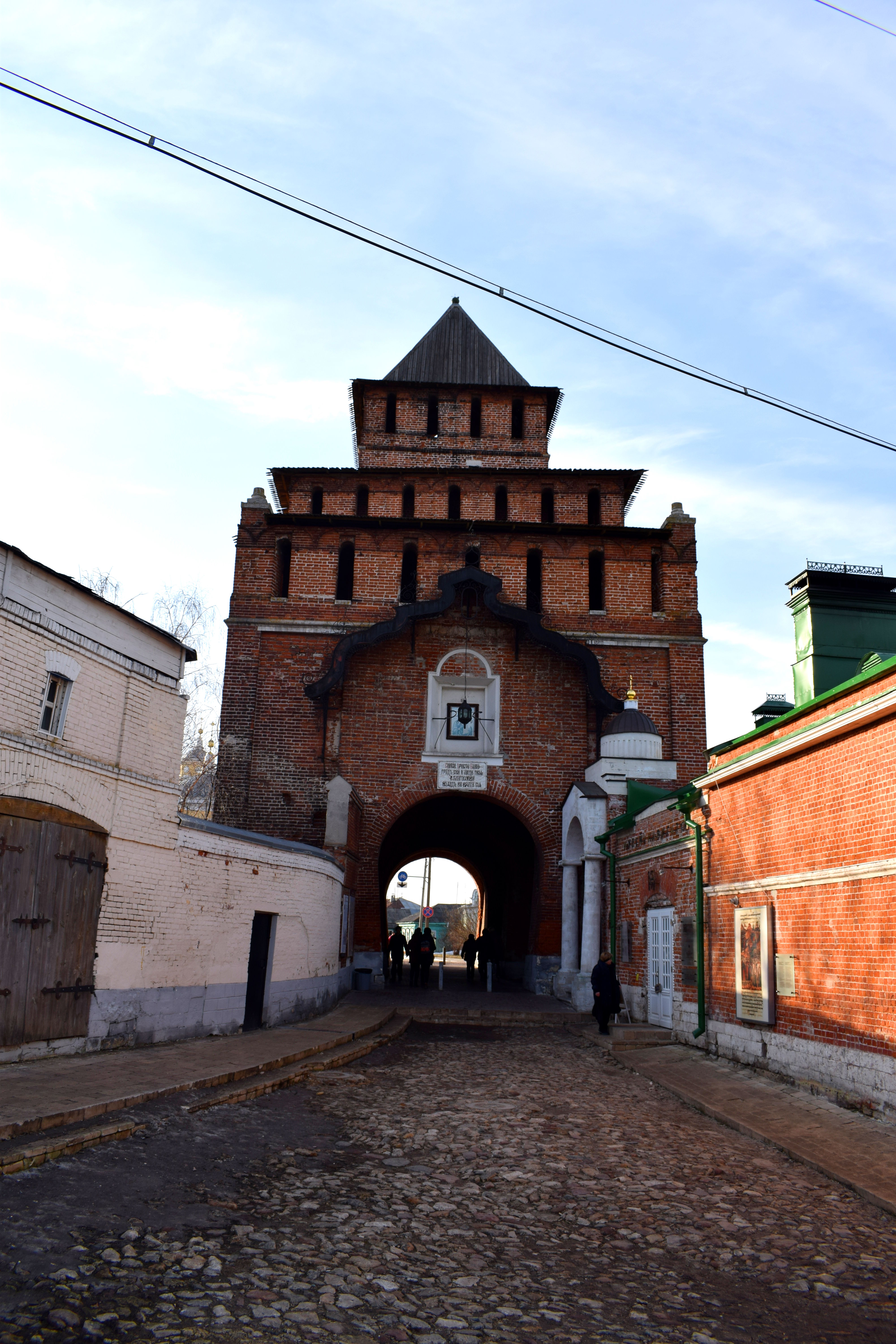
 The real beauty of Kolomna is the city’s medieval Kremlin. Kremlin is the Russian word for fortress and there are several cities across Russia that contain these architectural wonders. They were generally built alongside major rivers with their walls sheltering the city’s religious leaders and political elite from outside attackers. Kolomna’s Kremlin was built in 1525-1531 under the reign of Russian Czar Vasily III, who was Grand Prince of Moscow from 1505-1533. Kolomna’s Kremlin once had 17 towers and four gates to enter the city, but only seven have survived today.
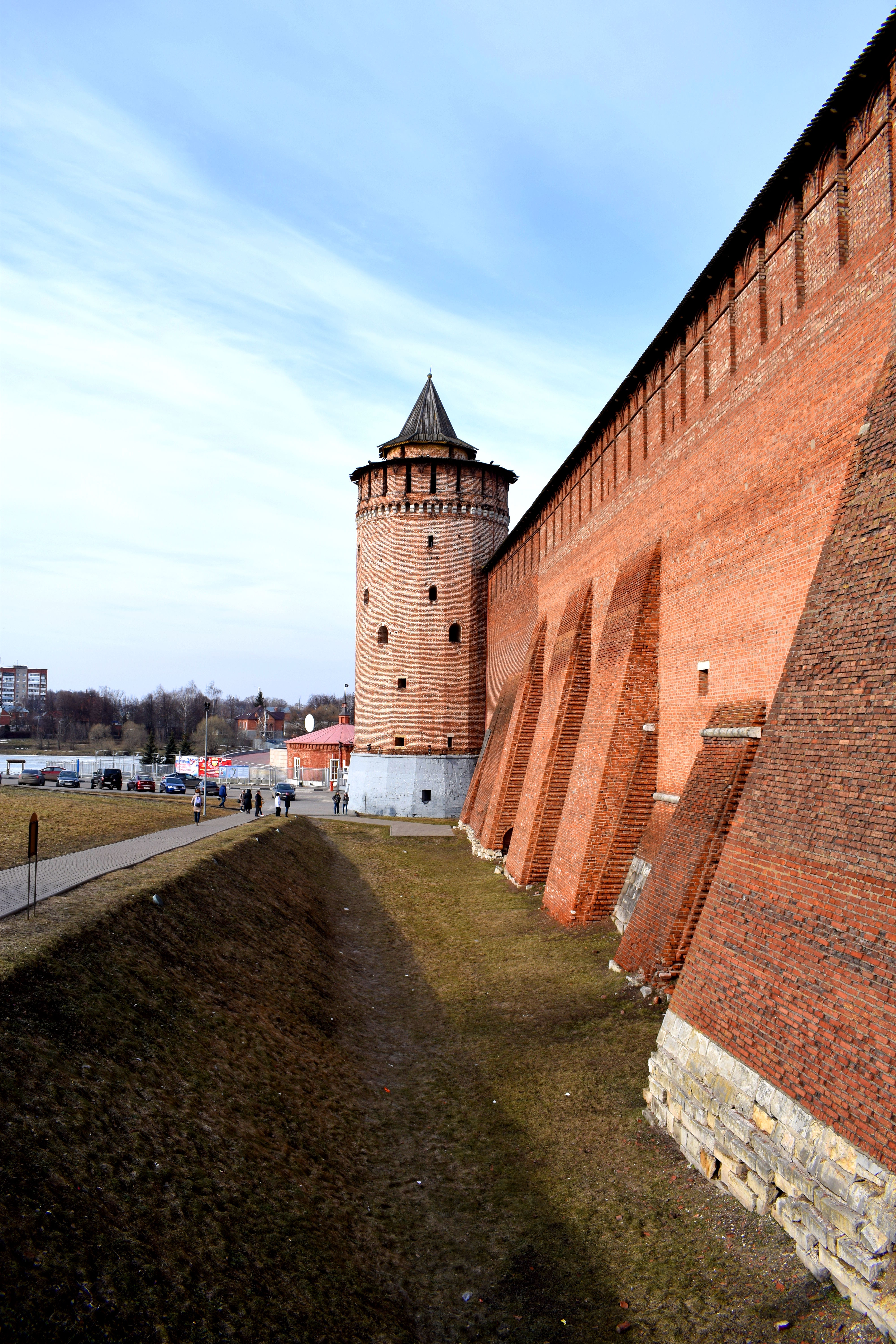 The walls are around 18-21 meters high and form a half circle around the entrance to the historic core of the city. Kolomna was first mentioned in 1177 when the area was under the control of Kievian Rus’, the ancient first state of the East Slavs. It would suffer serious setbacks in the centuries to come, especially after the Mongols attacked Kievan Rus’ in 1240. It was not until 1380 that the town would rise up and rebel under the leadership of Moscow’s Grand Prince Dmitry Donskoi. Today Donskoi is a hero around the town and across all of Russia.
 The Statue to Dmitry Donskoi in front of Kolomna’s Kremlin.
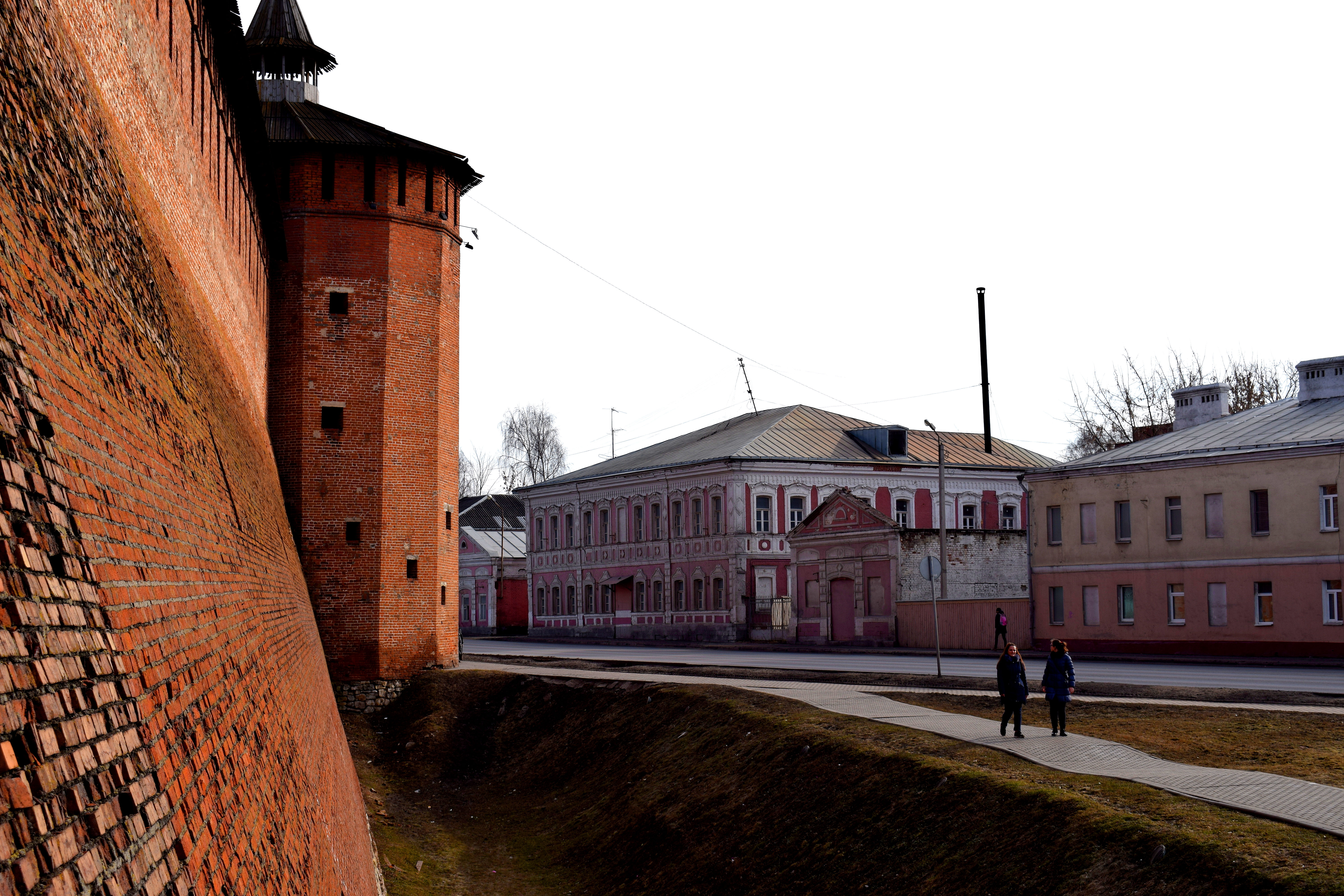
 Unfortunately much of the Kremlin was destroyed in subsequent centuries, but some old entrance gates have survived.
 Inside the Kremlin is a beautiful collection of medieval churches and old 19th century buildings. Pictured below is Cathedral Square, the Kremlin’s main square.
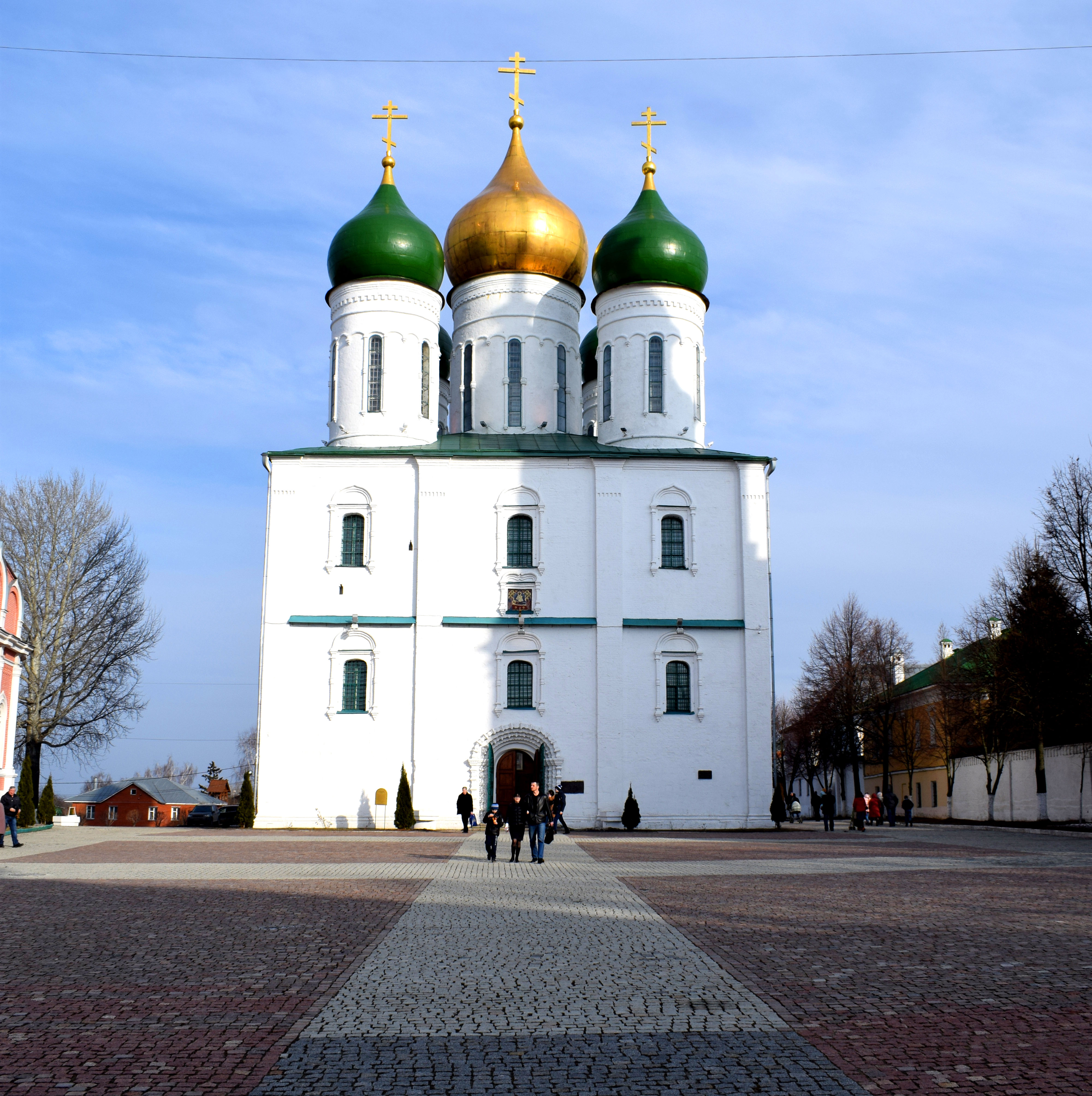
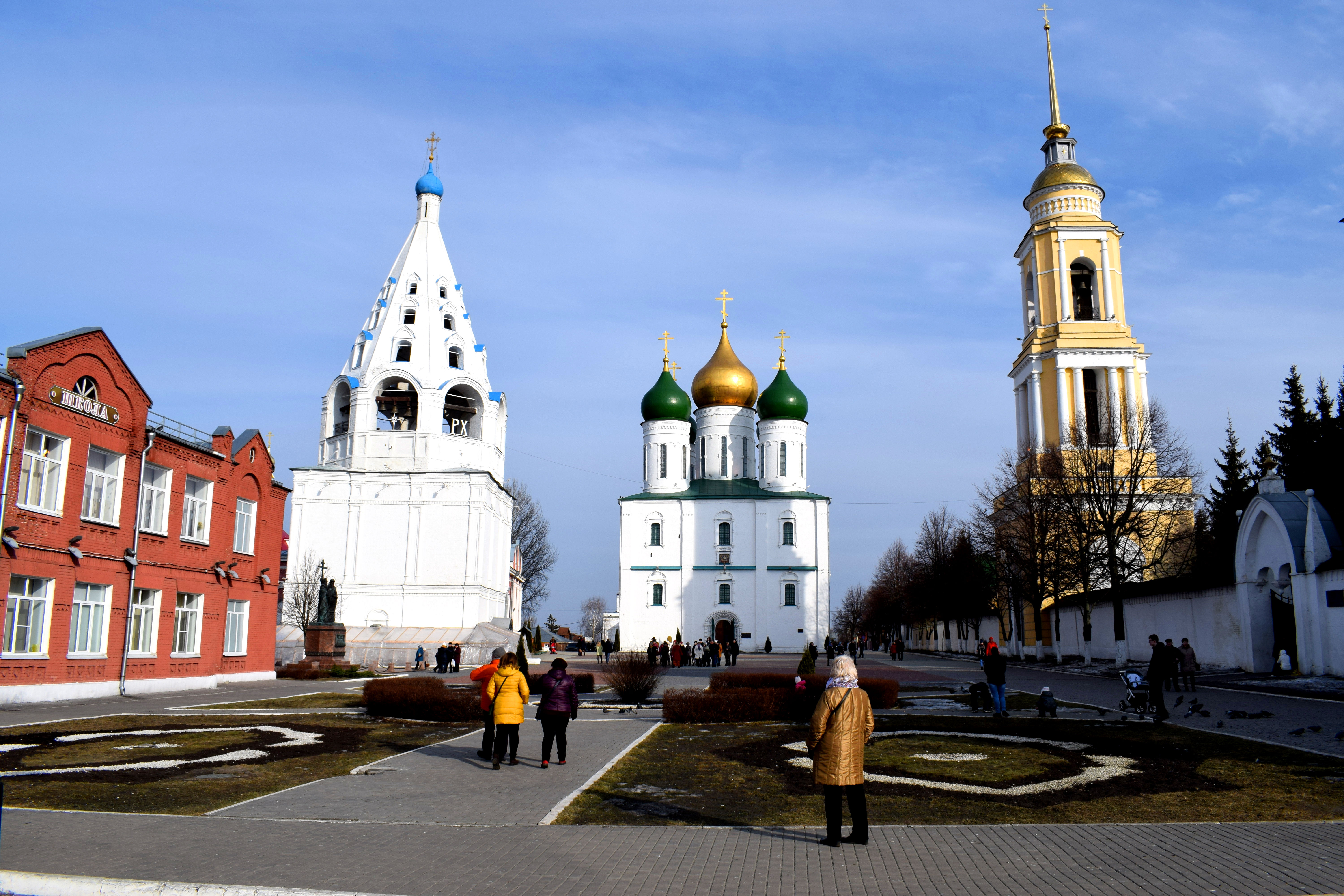 The Uspensky Cathedral in the center of the square was originally built in 1379 before being reconstructed a few centuries later in 1672. In 1804 the frescoes within the cathedral were repainted. In 1929 the interior of the church was plundered by the Soviets and the cathedral was closed until 1989. Today it stands as a central symbol of the city.
 This square served as the town’s central meeting point for centuries. Traders and merchants would come here to display their goods on Sundays after church service.
 To the right of the Cathedral is the Novo-Golutvin Monastery, built in 1799. A church-sponsored renovation program has significantly enhanced the town’s visual appeal by repainting and renovating the exteriors of these buildings.
 Another view of Cathedral Square.
 One of the towers to the Novo-Golutvin Monastery.
 During Soviet times these churches were completely neglected, left to crumble and disappear to the pages of history. Take a look at how Uspensky Cathedral looked in the late 1980’s.
 And here’s that same church today. The improvements are amazing.
 There are several other churches dotted throughout the Kremlin, some built later during the 1600’s and 1700’s and later. One example is the Brusensky Monastery. Initially built in 1552 as a wooden structure, it was rebuilt in 1881-1883 in its current form. In 1922 the monastery was closed by the Soviets and its property confiscated with the monks forced to move out. A renovation of the church was finished in 2006.
 The gates to enter the Brusensky Monastery.
 Another church within the Brusensky Monastery, built in 1552 and renovated in 2006.
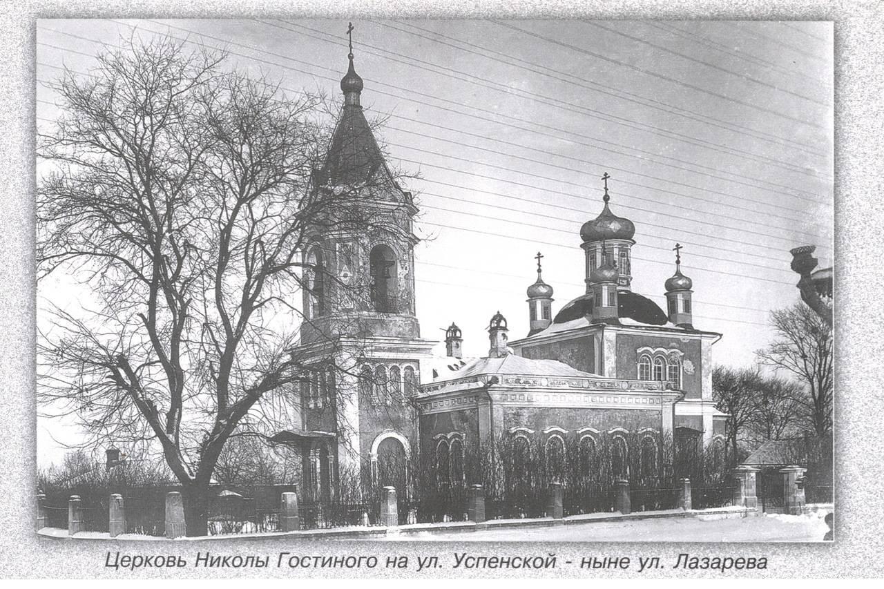
 Nikolai Gostiny Church. Built originally in 1501, and then again in 1751-1752. In the 1920’s Kolomna received an order from Moscow that the church had to be destroyed. The church used to be much bigger with a bell tower and courtyard. This is all that remains today.
 Here’s how it looked in the early 1900’s before the Bolshevik revolution.
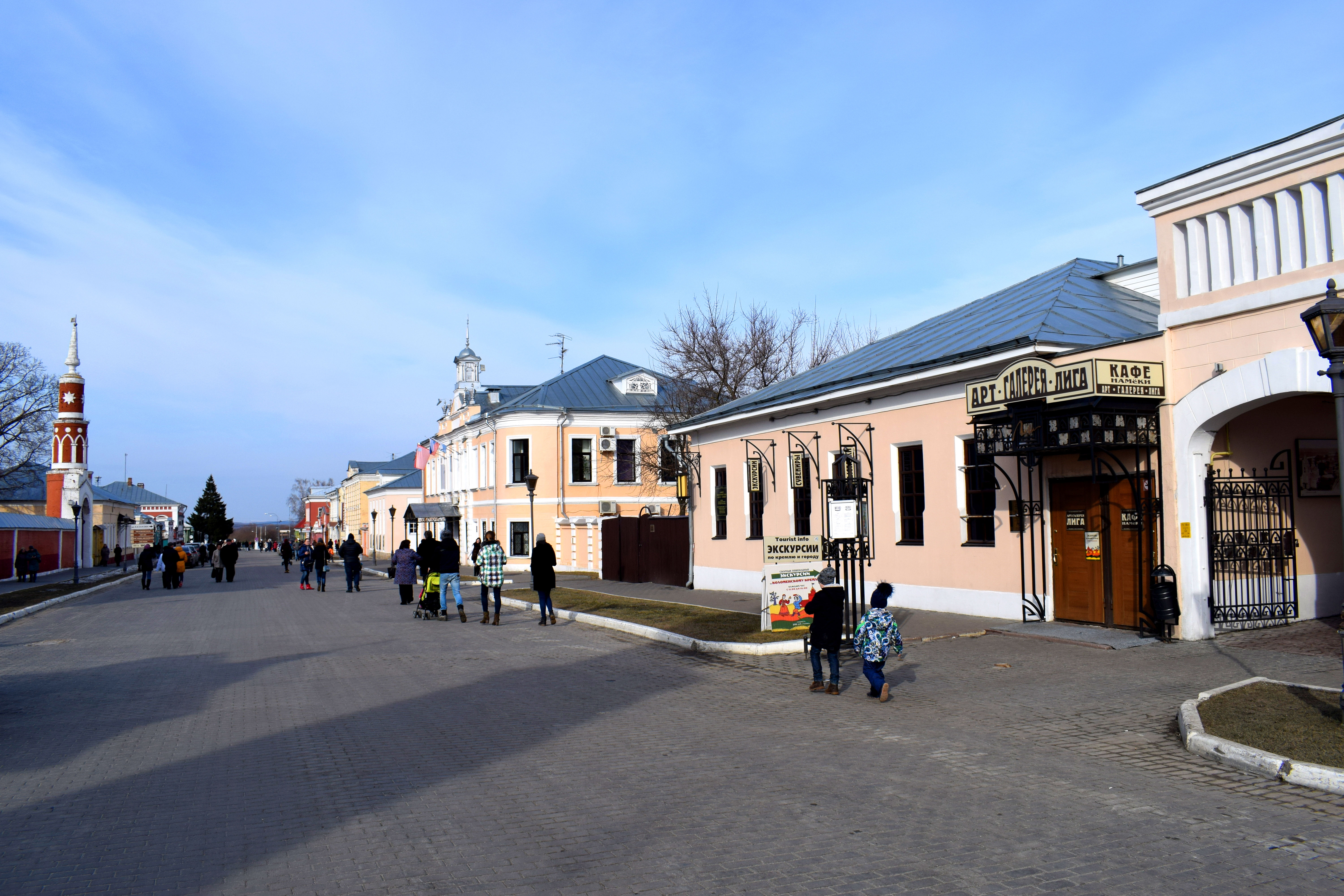
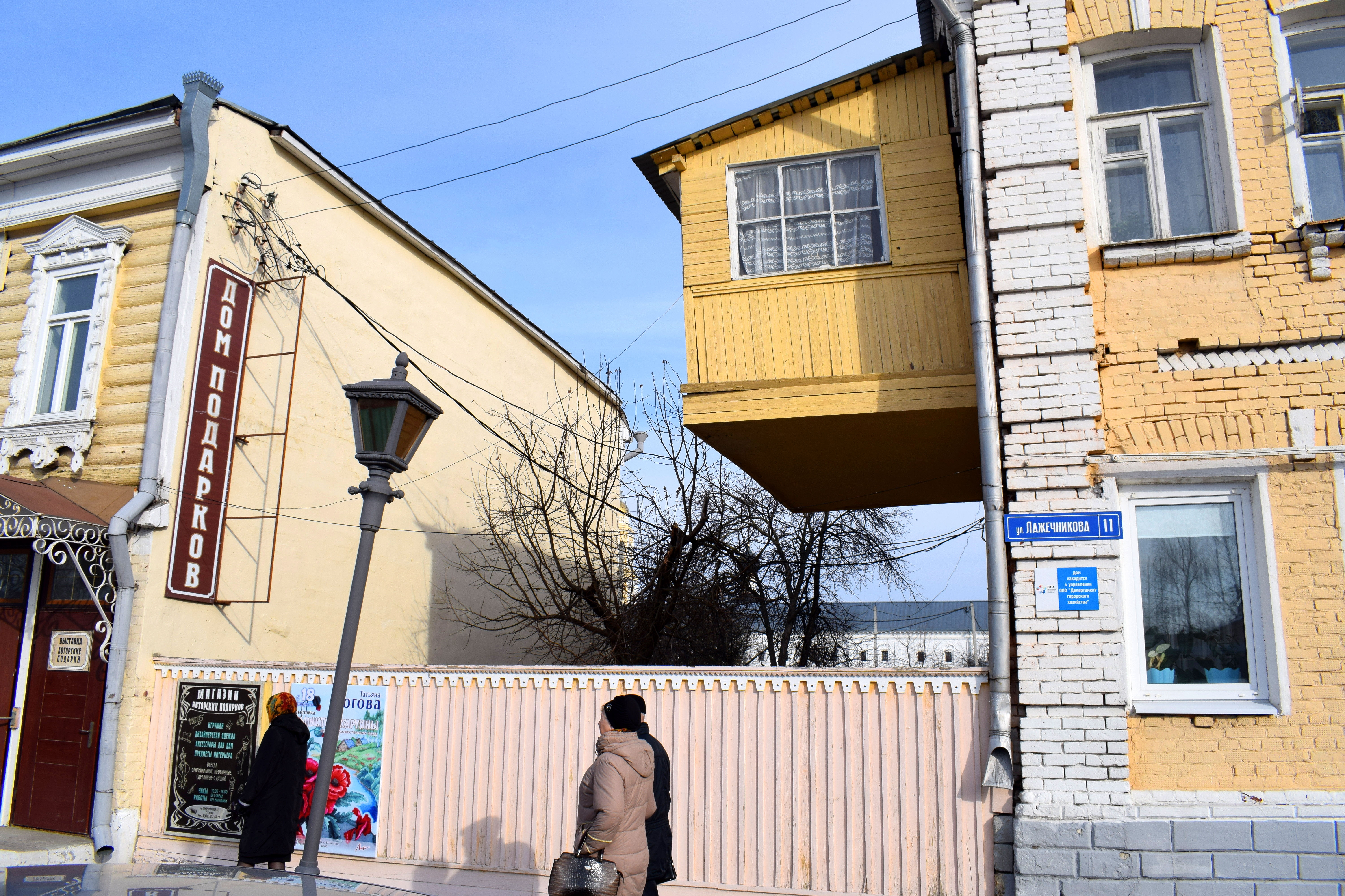
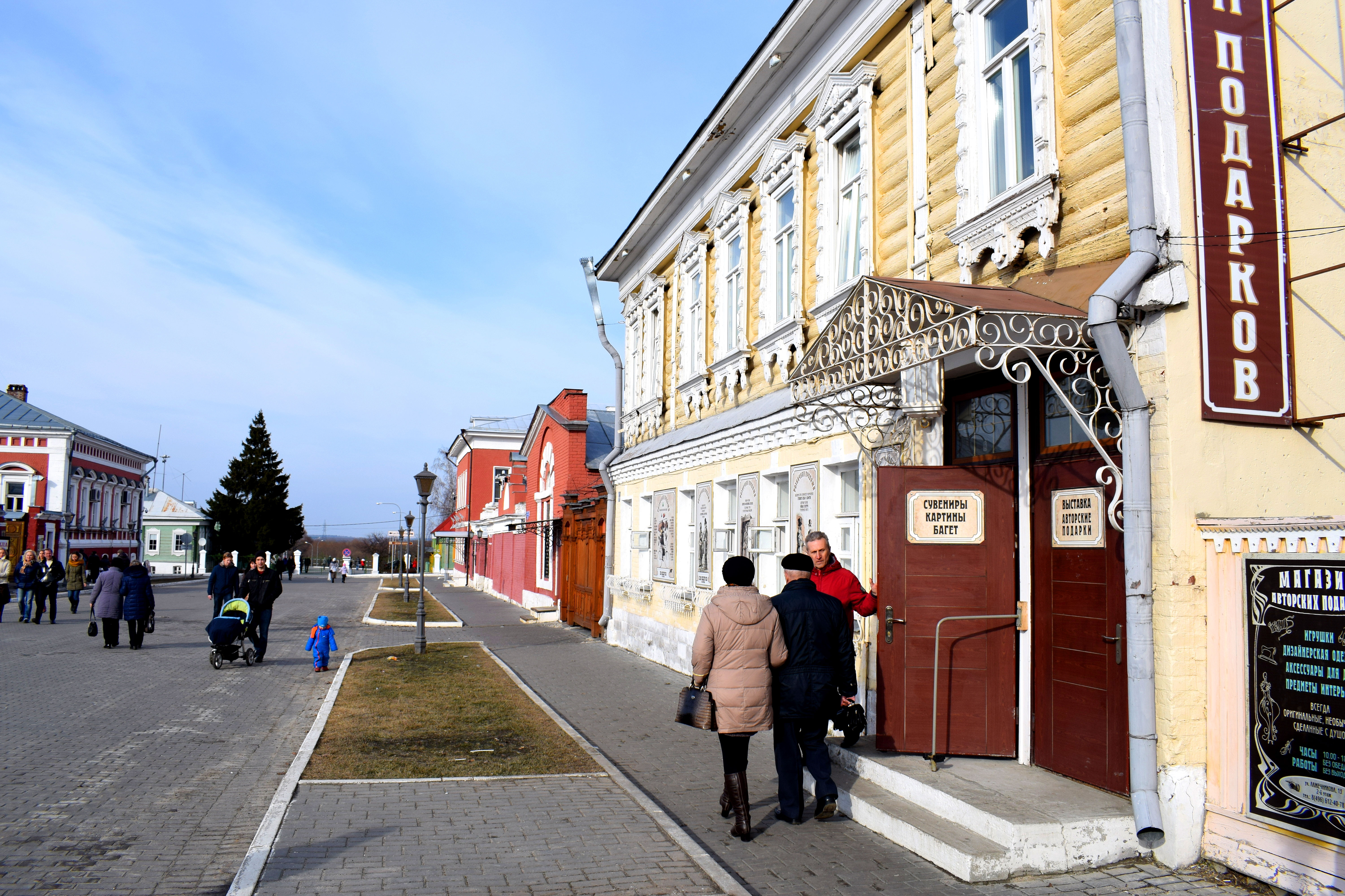
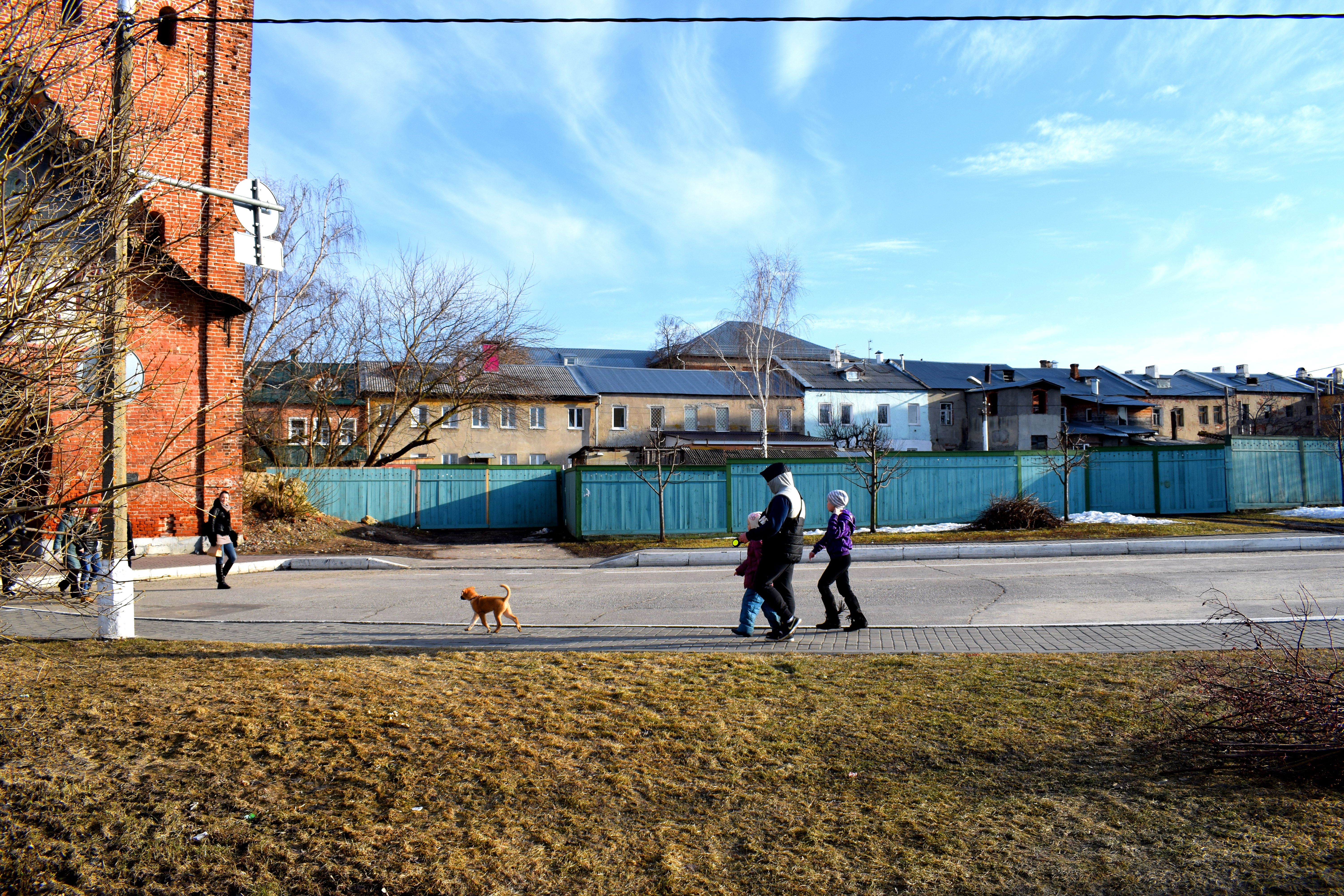
 Of course, churches are not the only thing you can find within Kolomna’s Kremlin. You also have a beautiful pedestrian street called Lazhechnikova Street with several buildings from the 19th and early 20th century. Here you will find souvenir shops and outdoor cafes serving traditional Kolomna drinks and deserts.
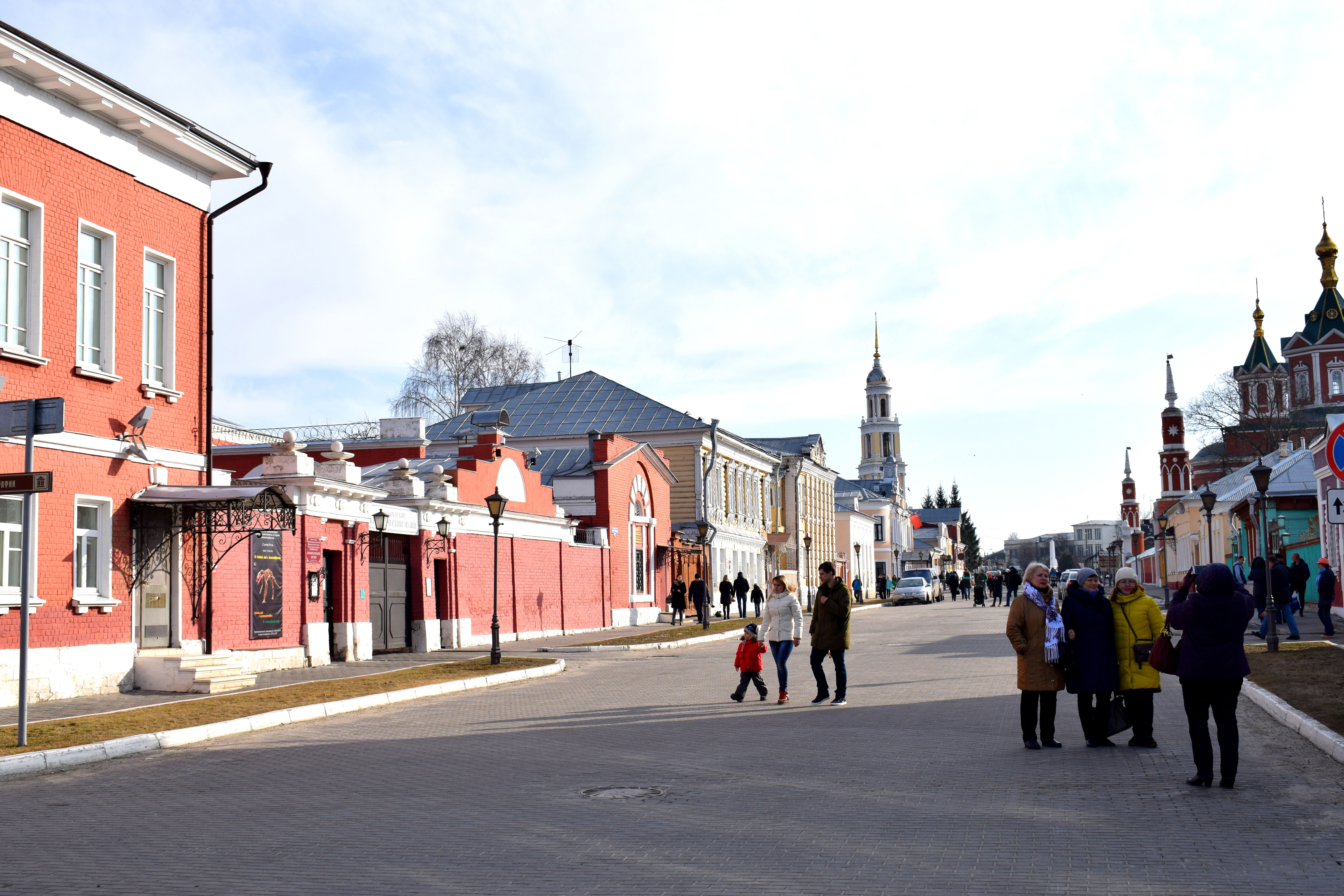 It was March and the weather in Russia was still cold so there weren’t many people. But in the summer these shops open up their cafes and people sit outside.
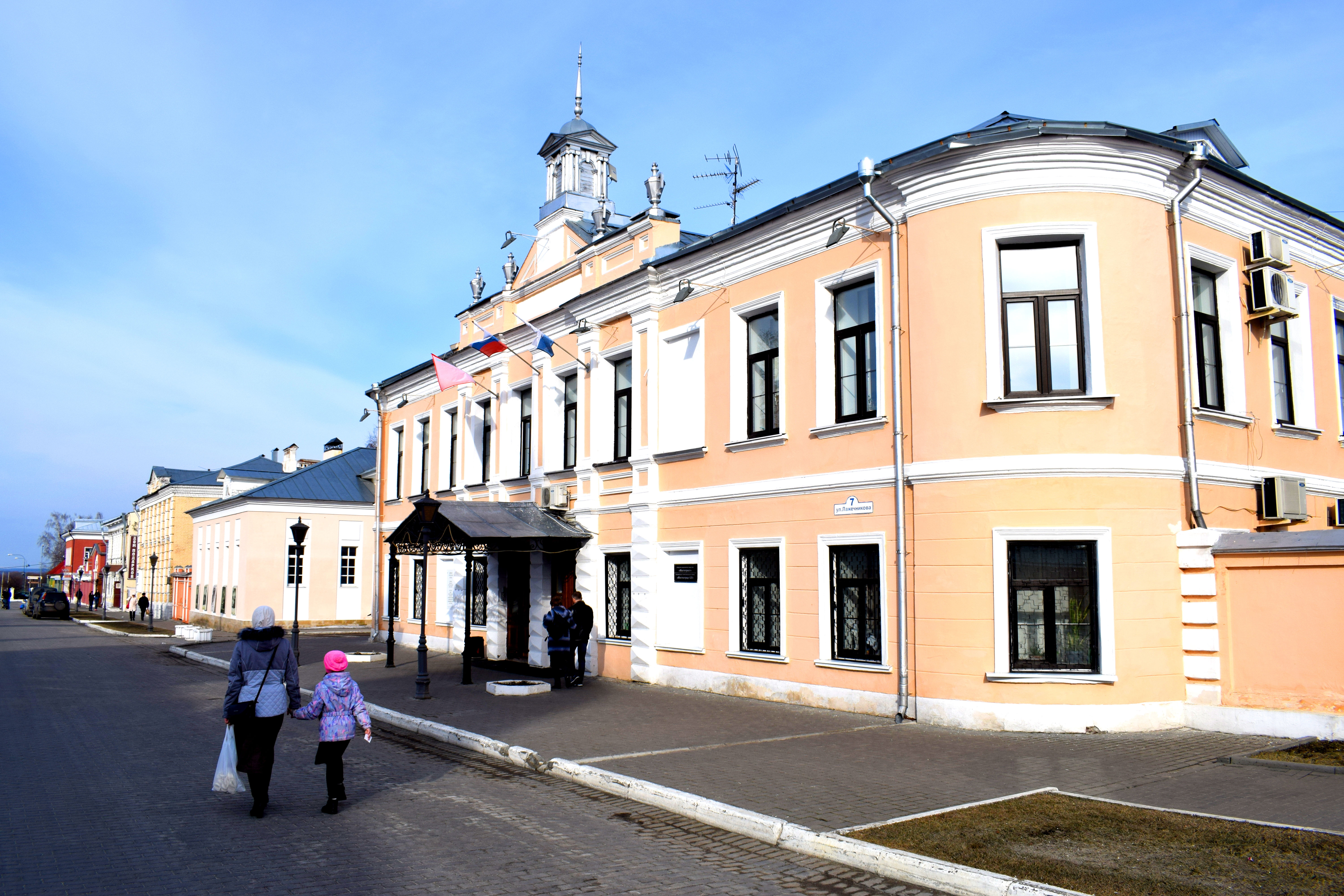
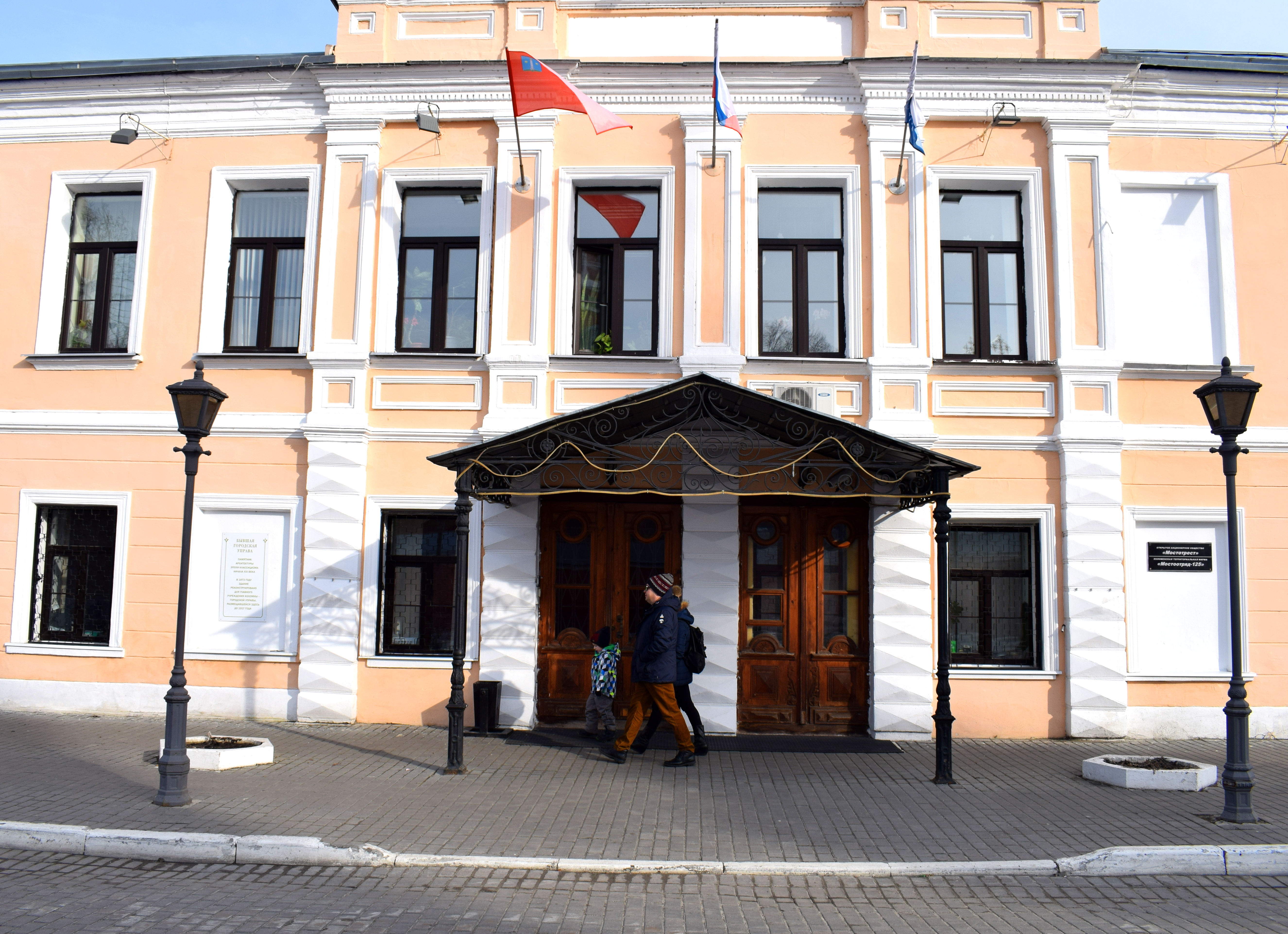
 This building used to house the Kolomna City Duma before the revolution in the early 1900’s.
 A small wooden room attached to the side of the brick housing looks like its about to fall off.
 A souvenir shop to the side. Most of the buildings in the Kremlin are small one or two story buildings dating back to the 19th century.
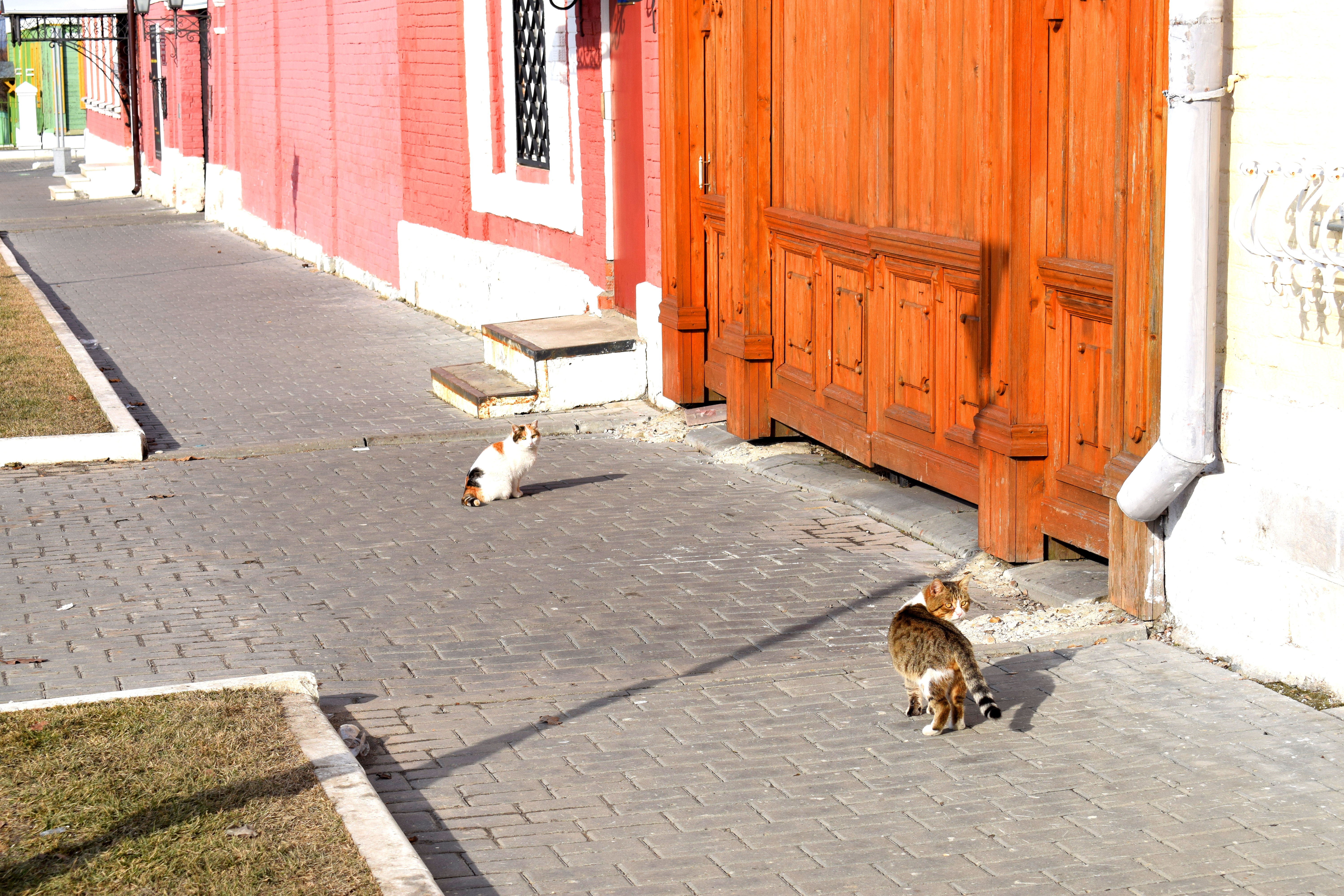
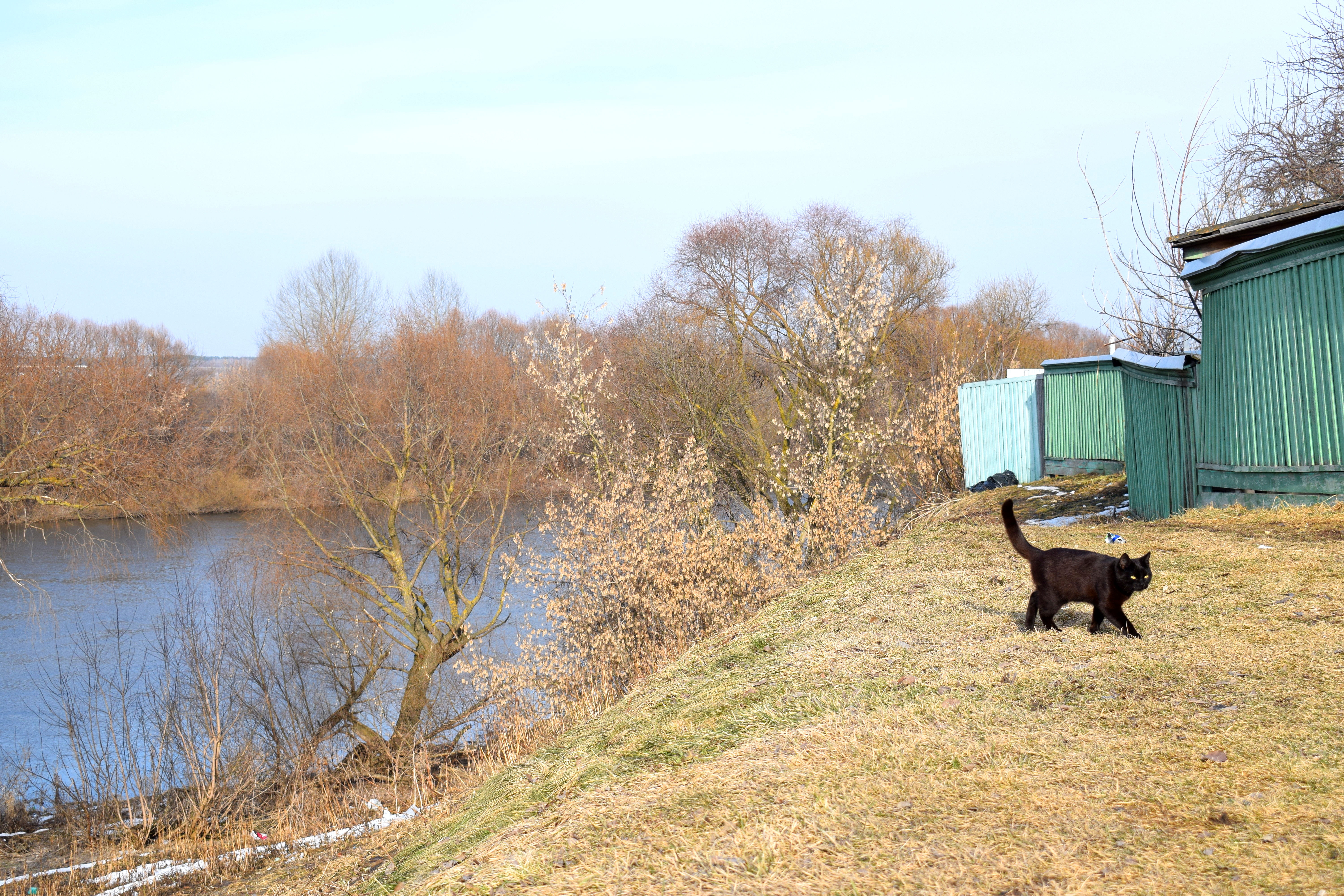
 Kolomna cats.
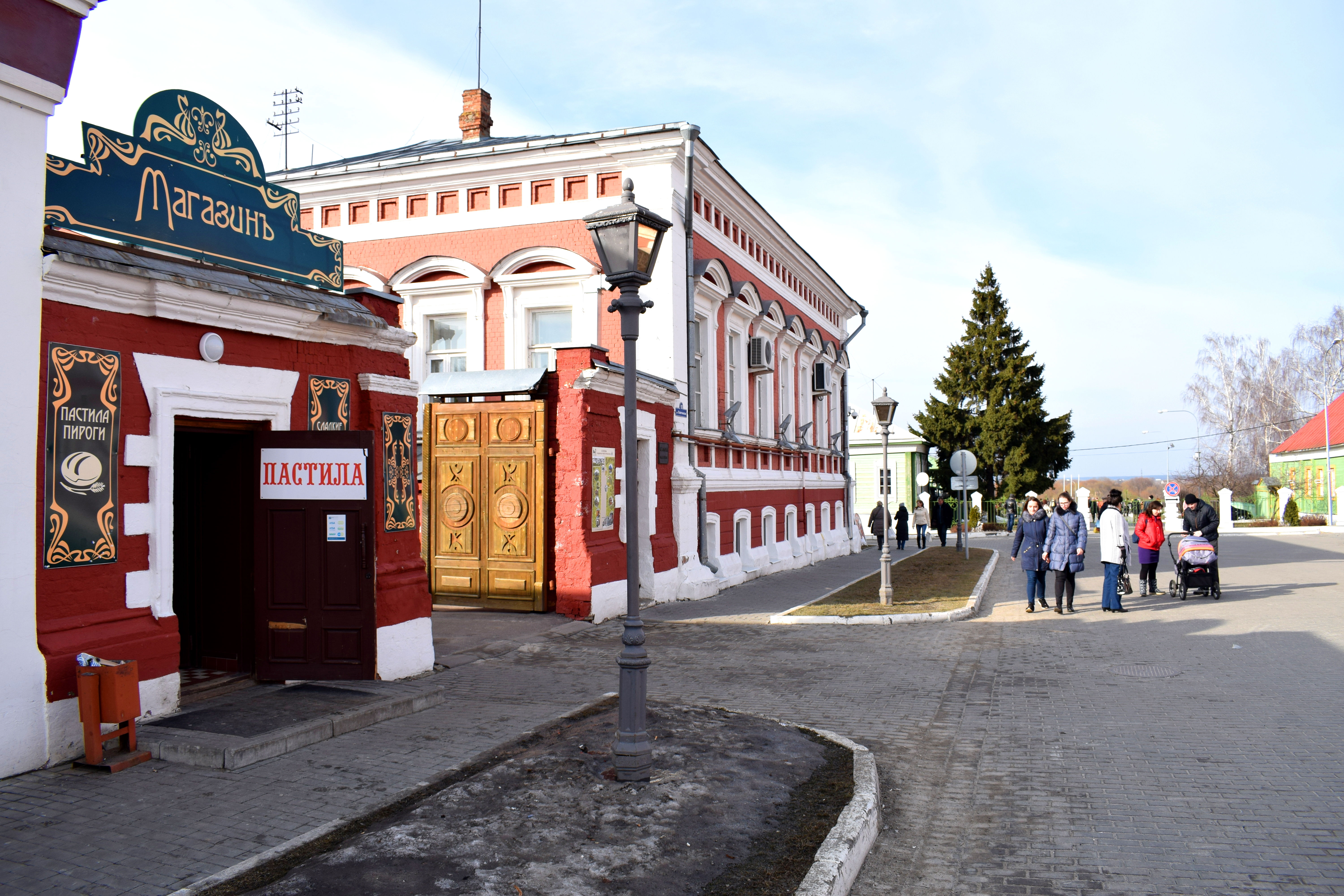
 To the left on the door you see the words “Pastila” written. Pastila is a traditional Russian fruit candy made of different kinds of light airy paste. Kolomna is famous for producing its own brand sold across Russia.
 One of the best aspects of Kolomna are its wooden homes. Russians used to live in such homes in the early 20th century. As Russian cities expanded and modernized these homes were typically razed to the ground to make way for modern high rises. But in small Russian cities the wooden homes remain.
 An old water pump. People used to use these to bring water back into their homes. A lot of villages in Russia still have them and some still work.
 Wooden constructions were typical across Russia during the 19th and 20th century. It was a cheap form of building material compared with stone and brick and abundant across the country because of the vast woodland and forests.
 Another example of an old 19th century wooden home.
 Each building is painted in a different color, adding to the liveliness of the place.
 A window to one of these traditional homes.
 A local girl resting in the shade in Kolomna on a hot summer day in 1916.
 That same building in 2017.
 More Kolomna cats. In the background you can see the Moskva River.
 The Church of the Exaltation of the Holy Cross. The stone structure was first built in 1764 and then later rebuilt in 1837.
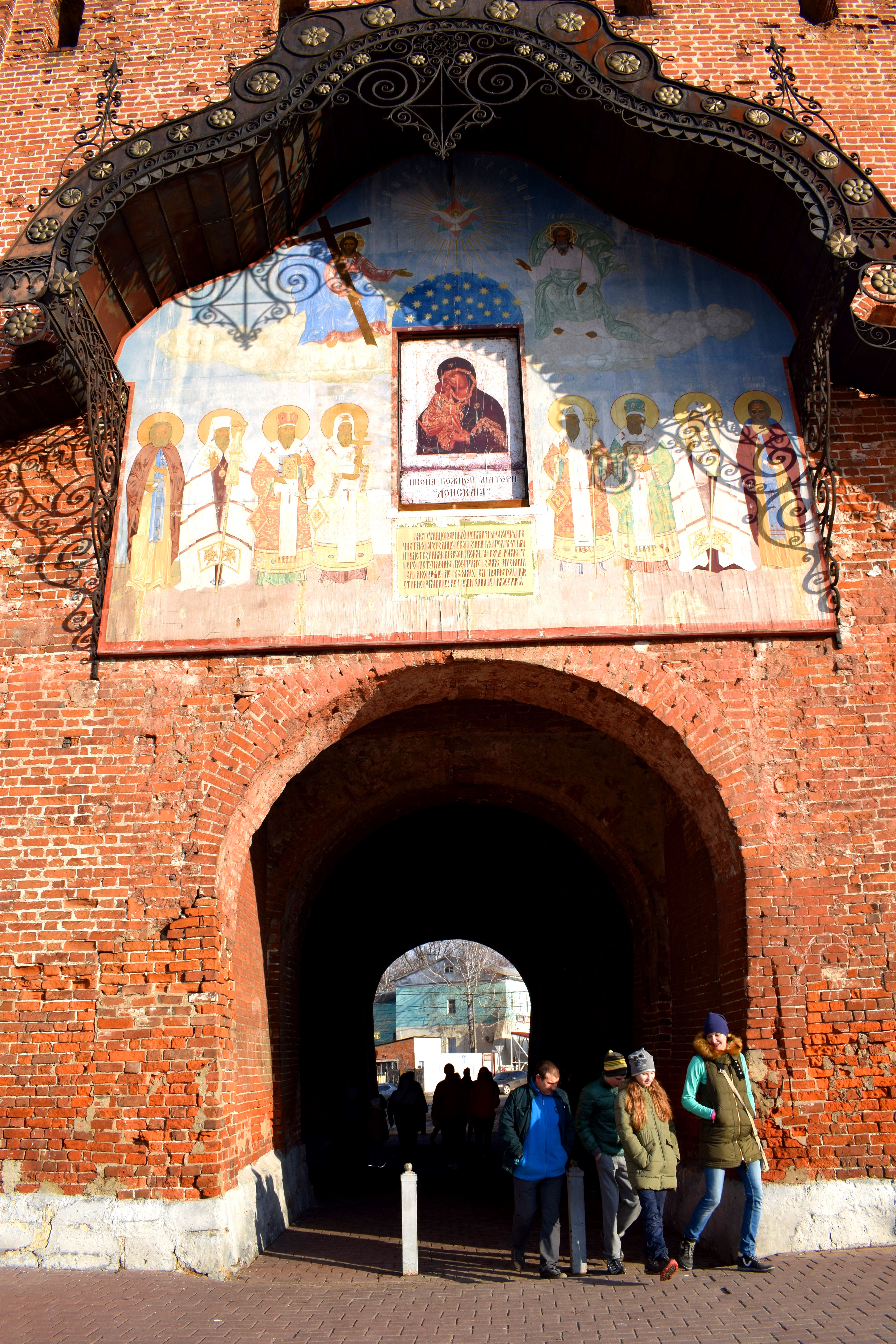
 The Pyatnitskie Gates, the last surviving tower of the Kremlin where the gates are still intact.
 Lots of people were out and about despite the cold weather, enjoying the sun, walking with their children and pets.
 Old fresco paintings on the Pyatniskie Gates which have survived to this day. At one point, all of the towers looked like this.
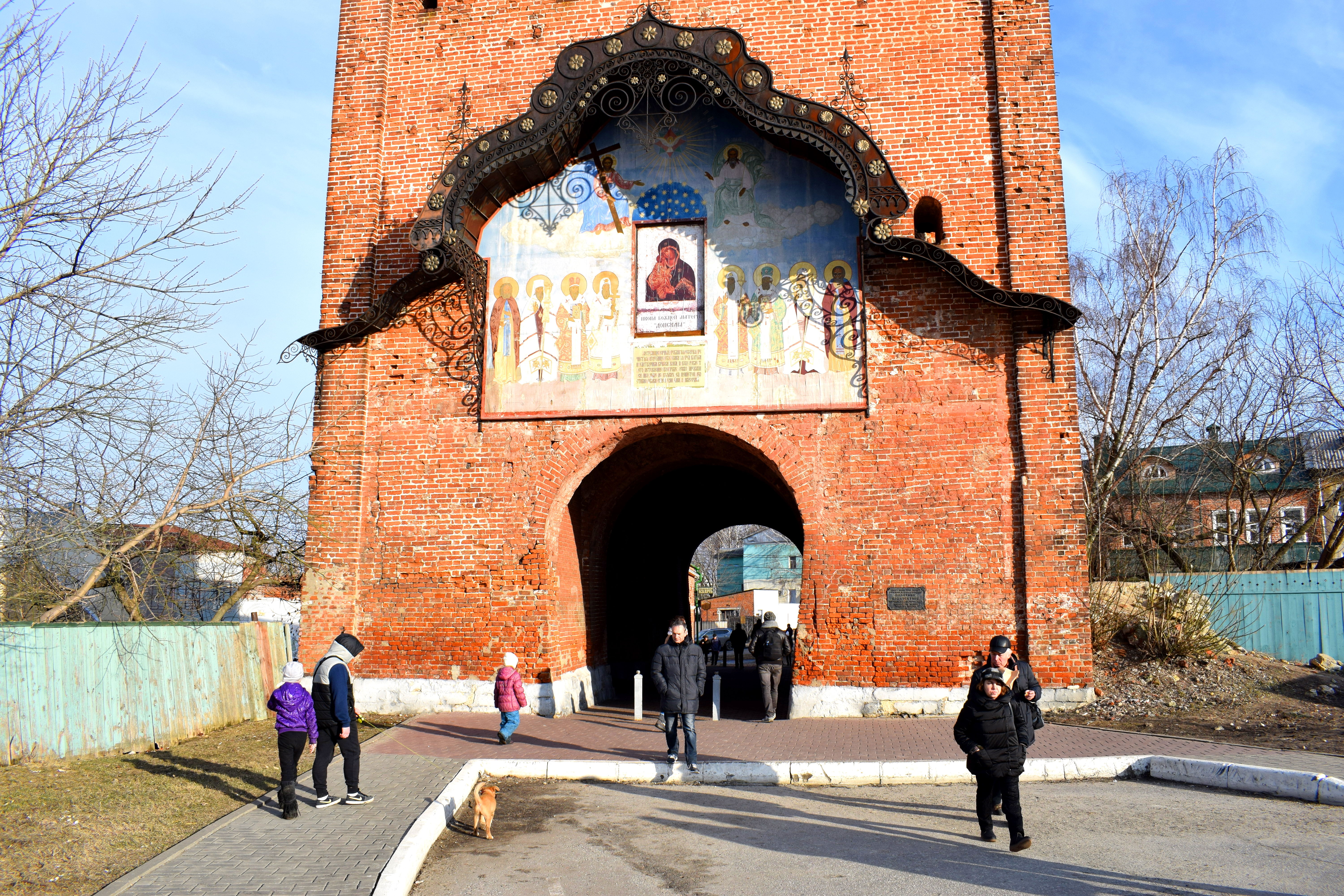
The tower from the other side, outside the Kremlin.
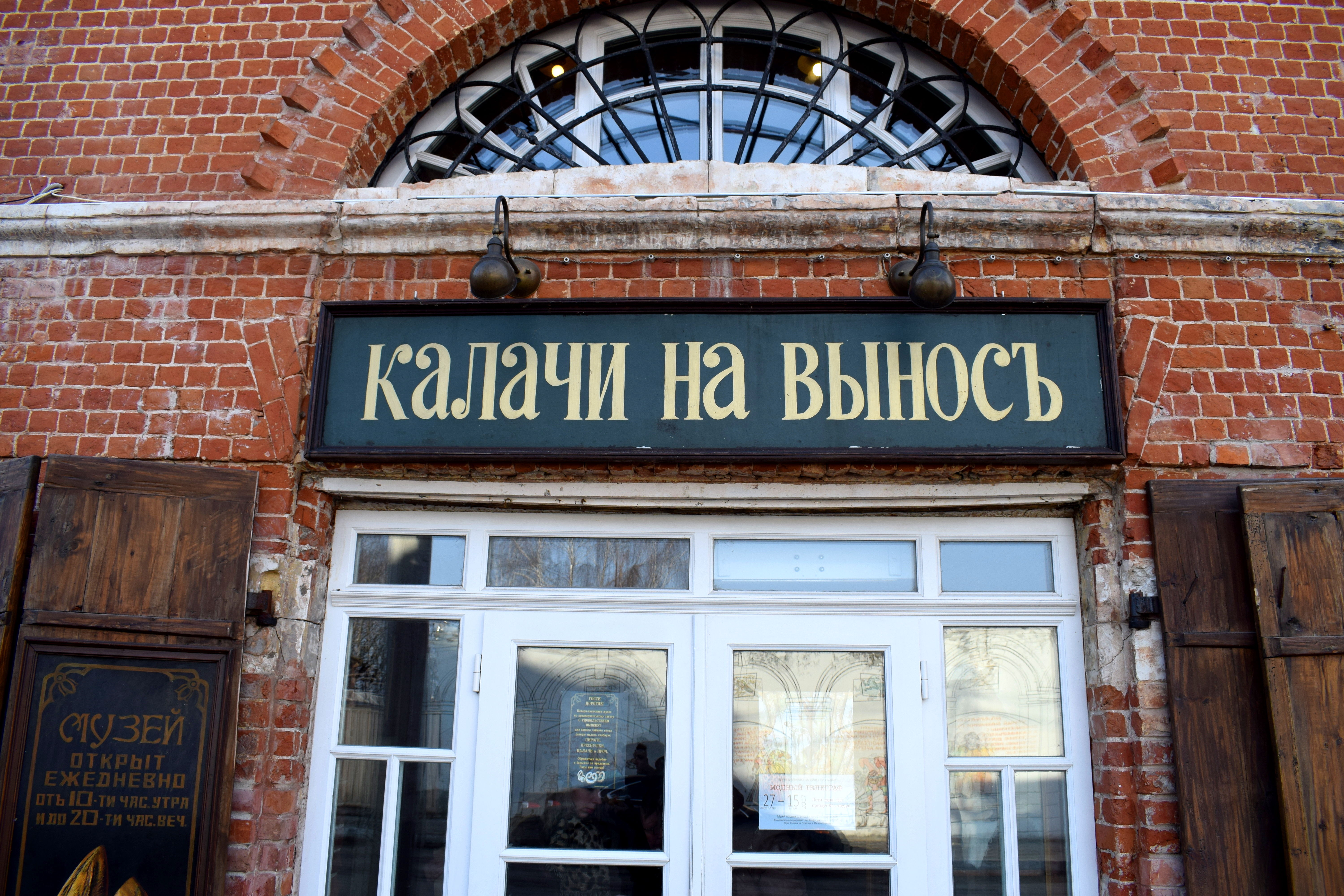
 To the right there is a cute little shop you can order some”Kalachi”, the old Russian word for cake, or bread.
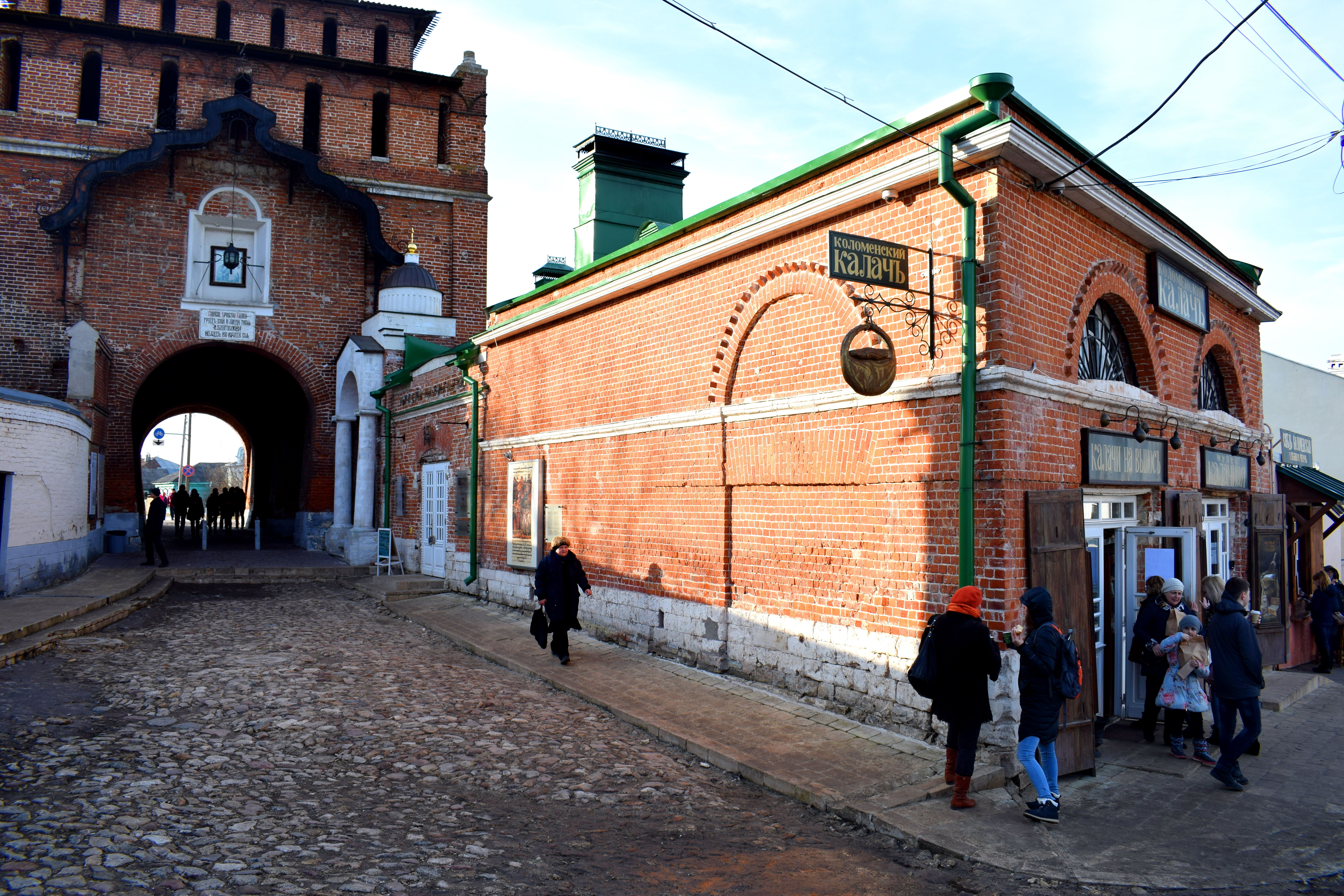 Two Russian woman warming up with tea and biscuits. Despite the sunny weather and the start of spring, it’s still cold in March.
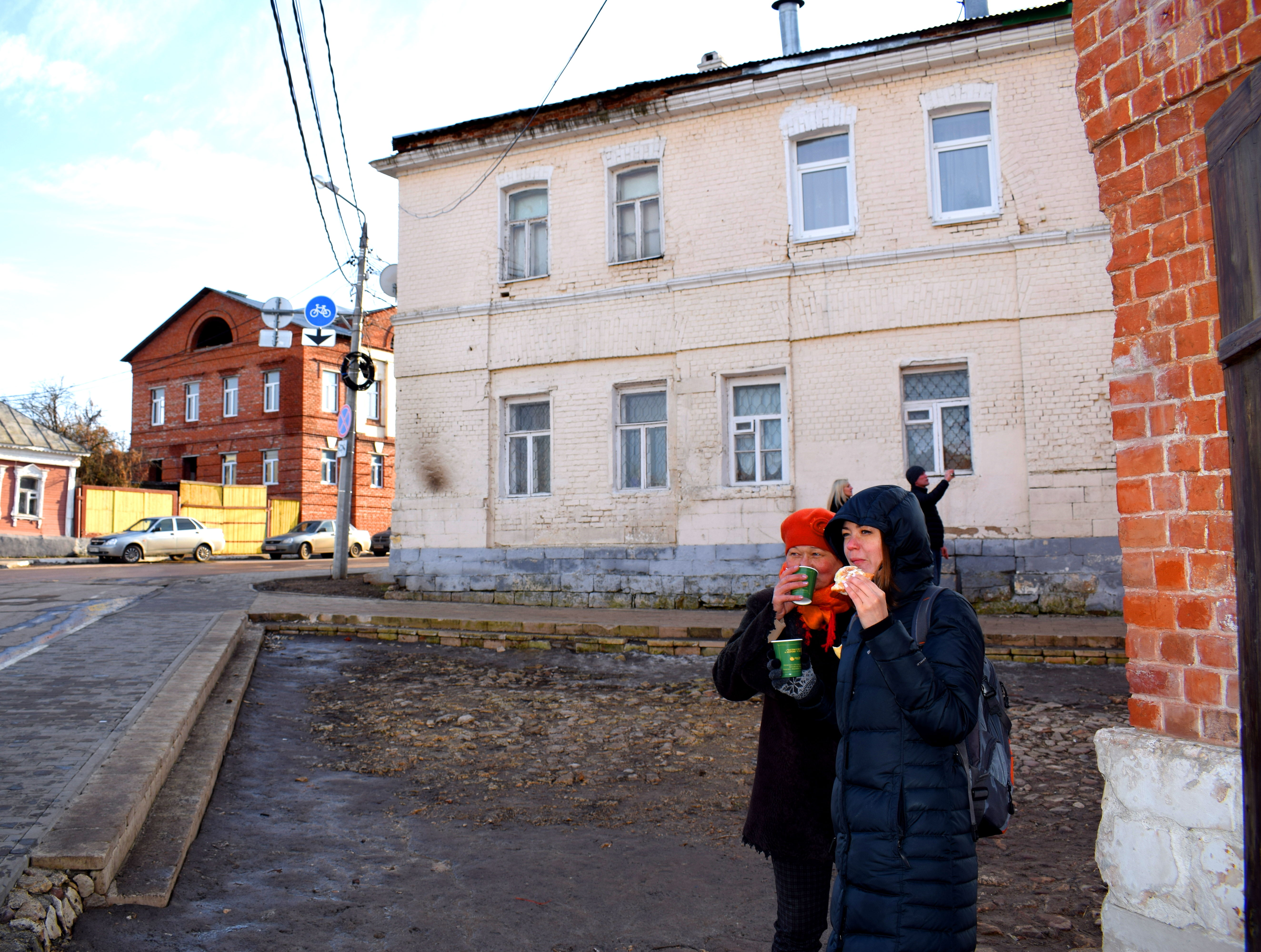
Kalachi Na Vynos = Cakes To Go
 Some of the architecture outside of the Kremlin. These are typical 19th century homes in Kolomna. The city looks eerily abandoned in places. Unfortunately, many young people leave Kolomna to live and work in Moscow which is only two hours away. As a result, the city is slowly emptying out and the population dying.
The Moskva River in Kolomna.
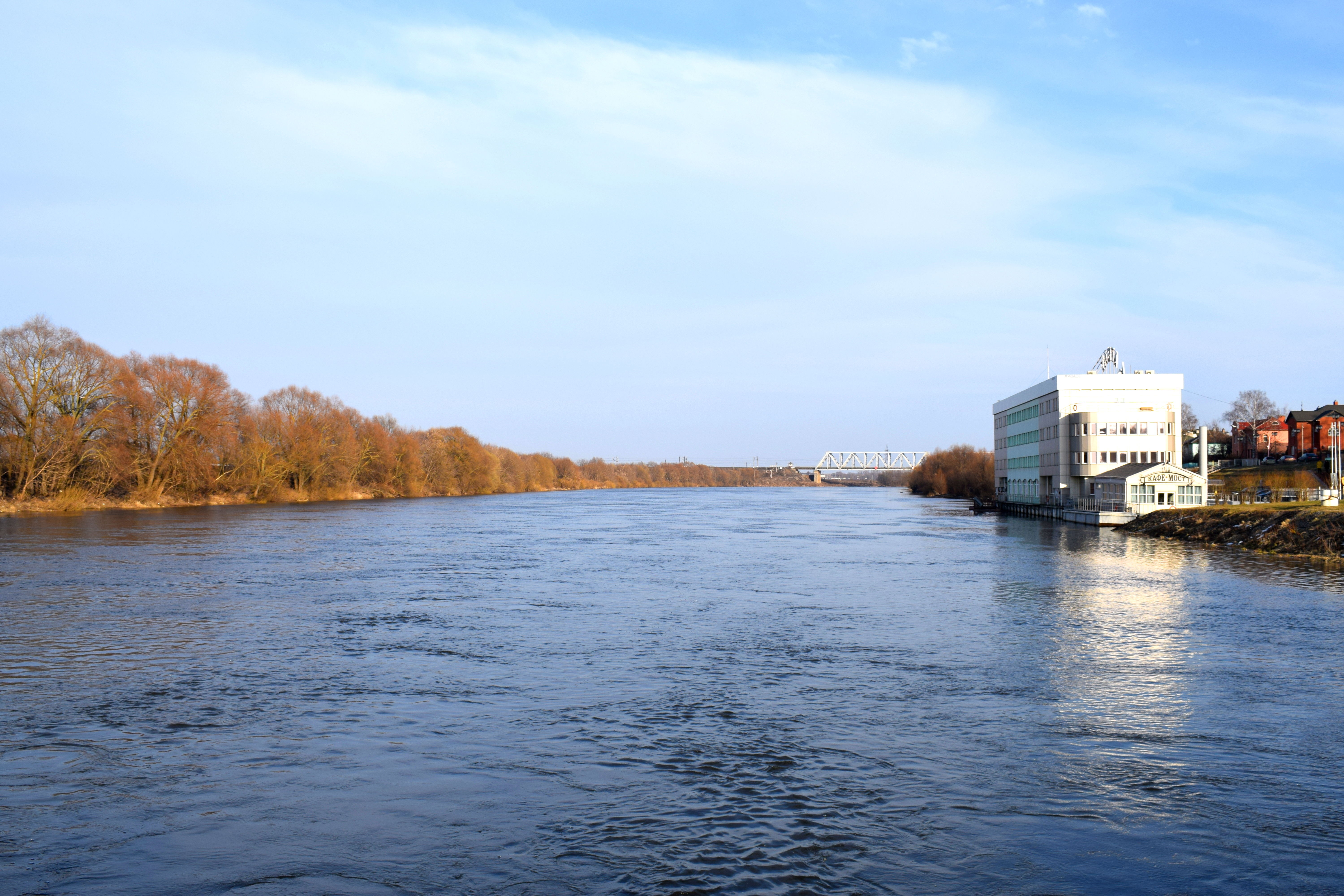
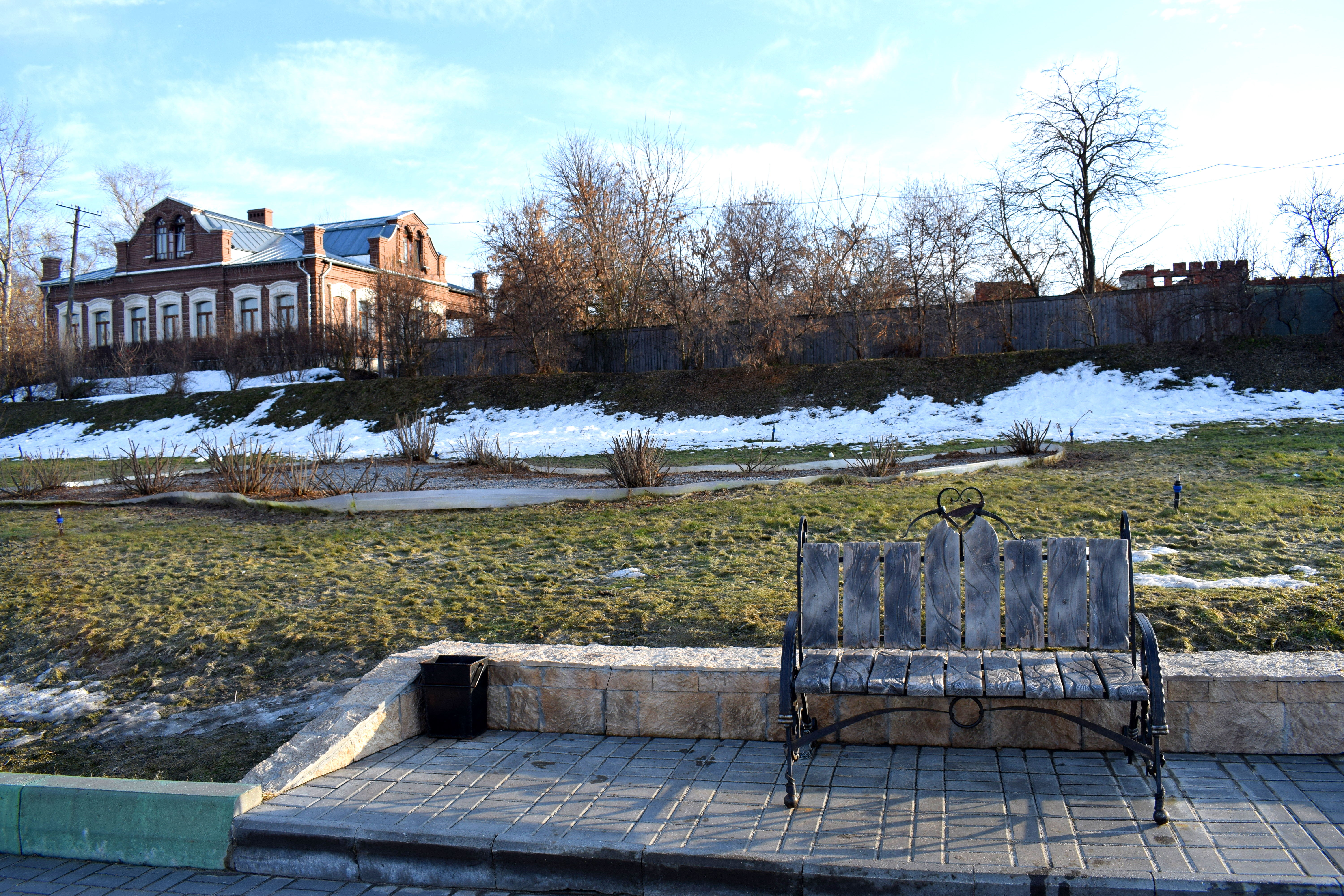
Walking along the Naberezhnaya, the area beside the Kolomna River.
 A statue dedicated to man’s best friend.
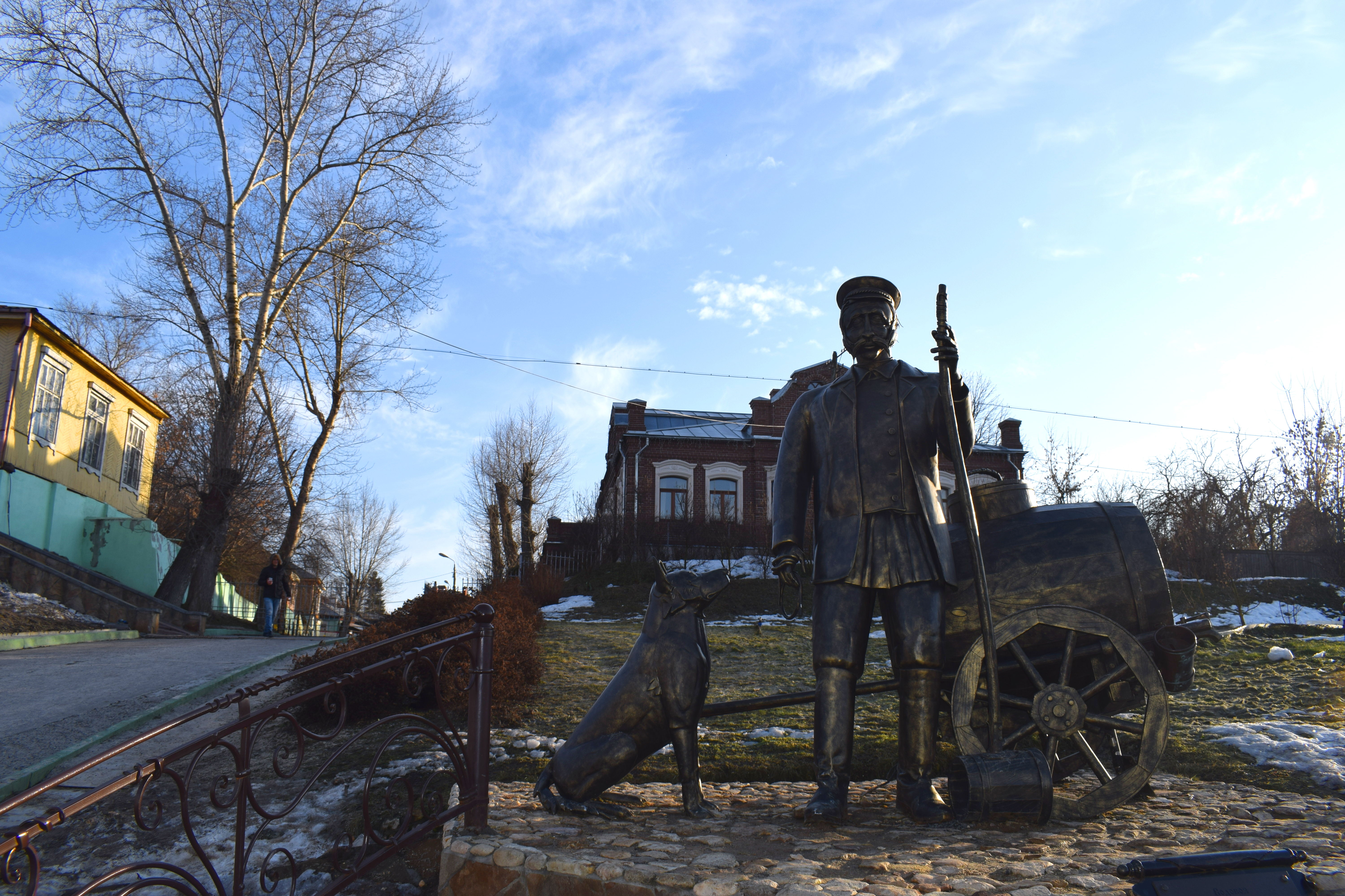 There have been many floods in Kolomna throughout history. Here you can see how high the water reached each year, with the highest being in 1970, closely followed by 1994 and 2013.
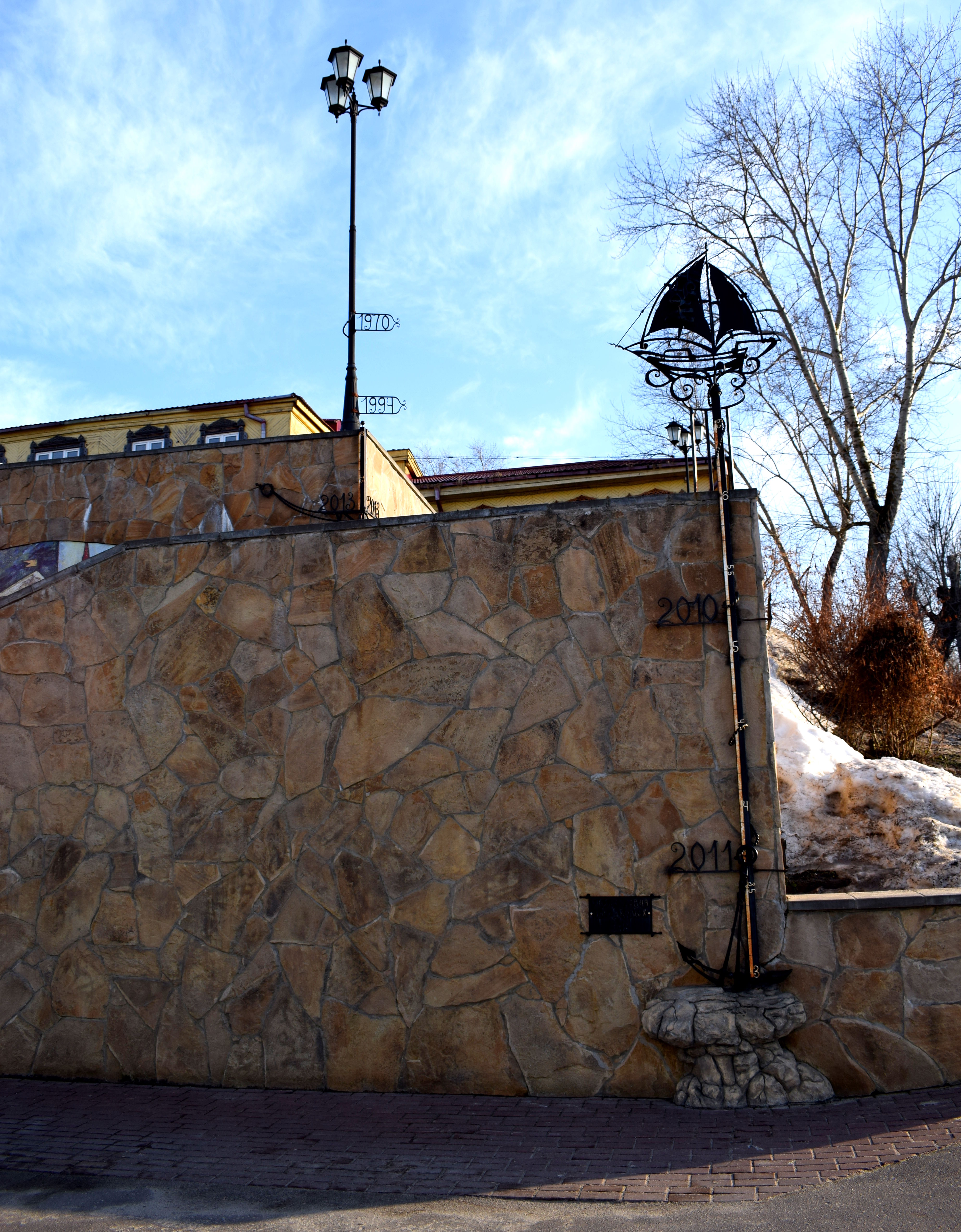 Another beautiful old wooden Kolomna home overlooking the Moskva river.
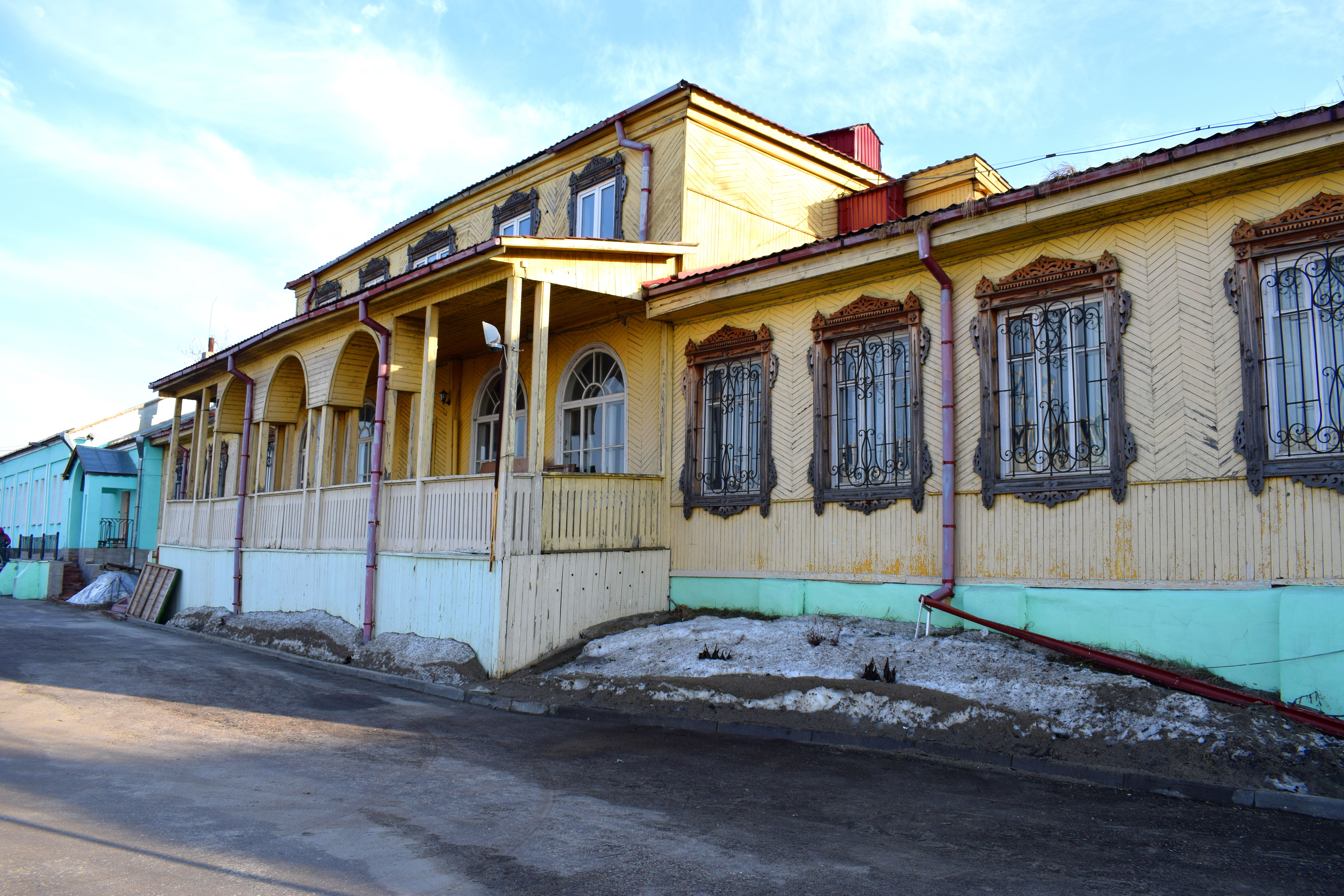 More Kolomna streets.
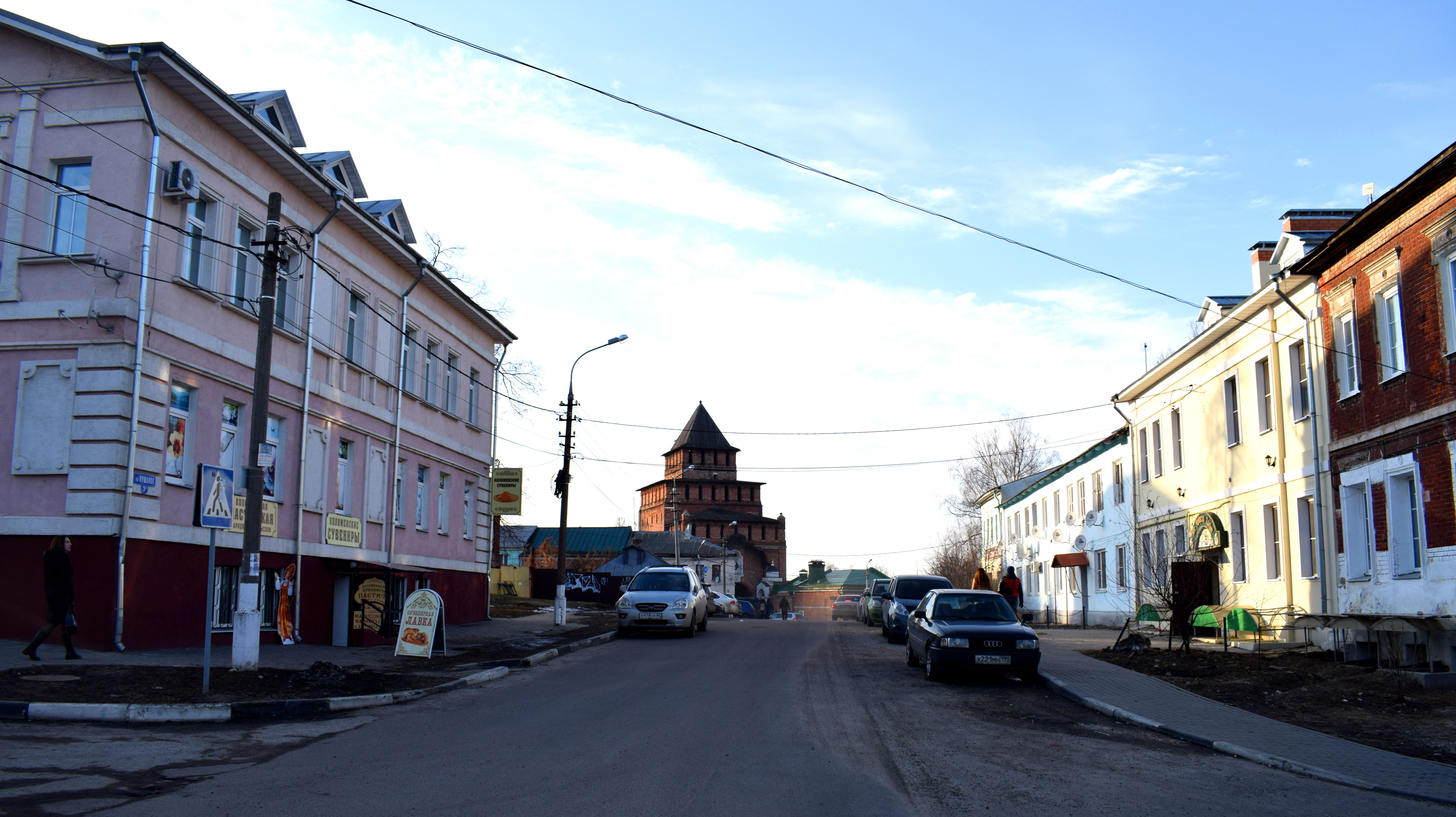 Few of the buildings in Kolomna’s old town are higher than two stories.
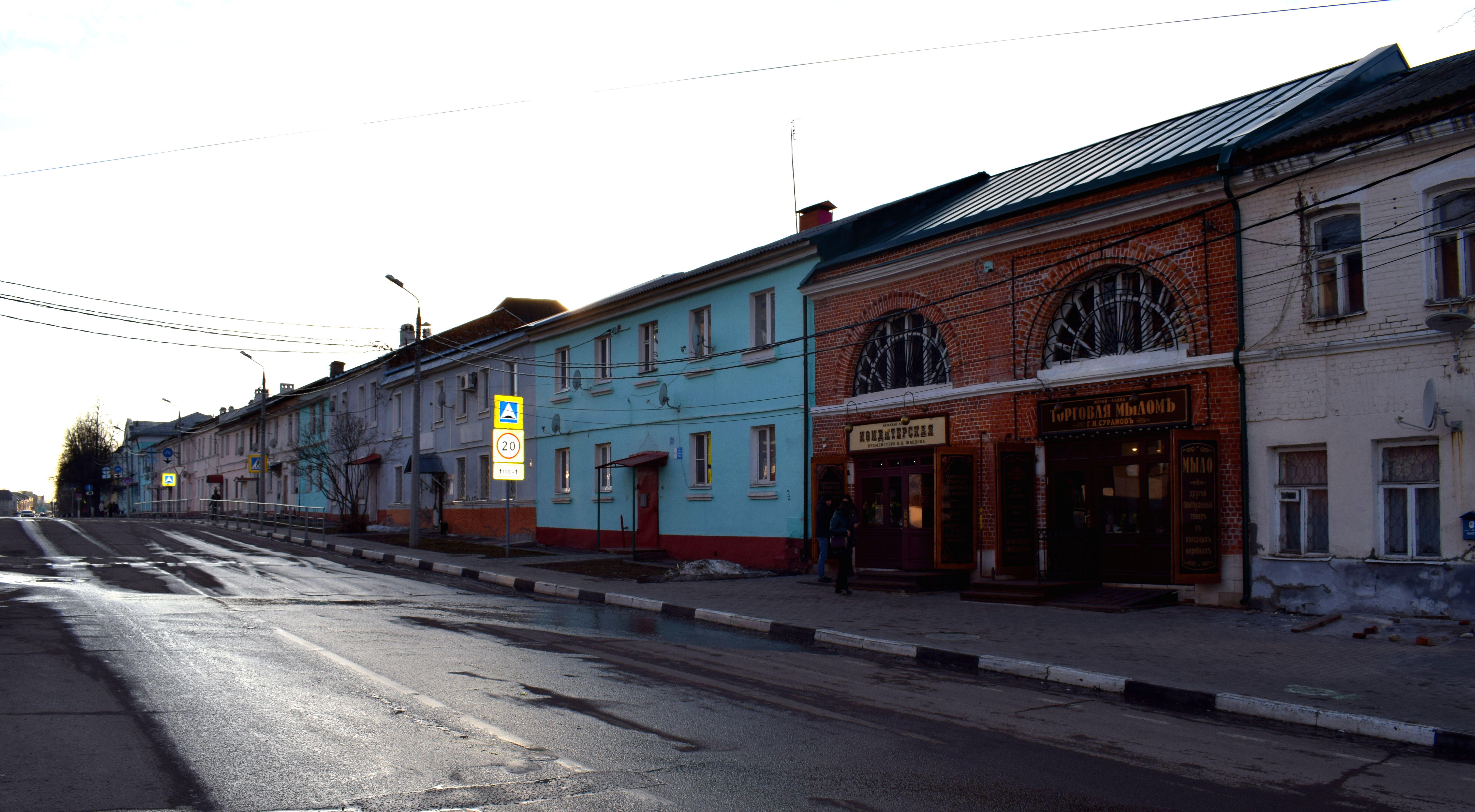
Kolomna also has its fair share of beautiful parks, with one located just outside the Kremlin. Enjoy the cold winter sunshine with an ancient Russian fortress casually in the background. 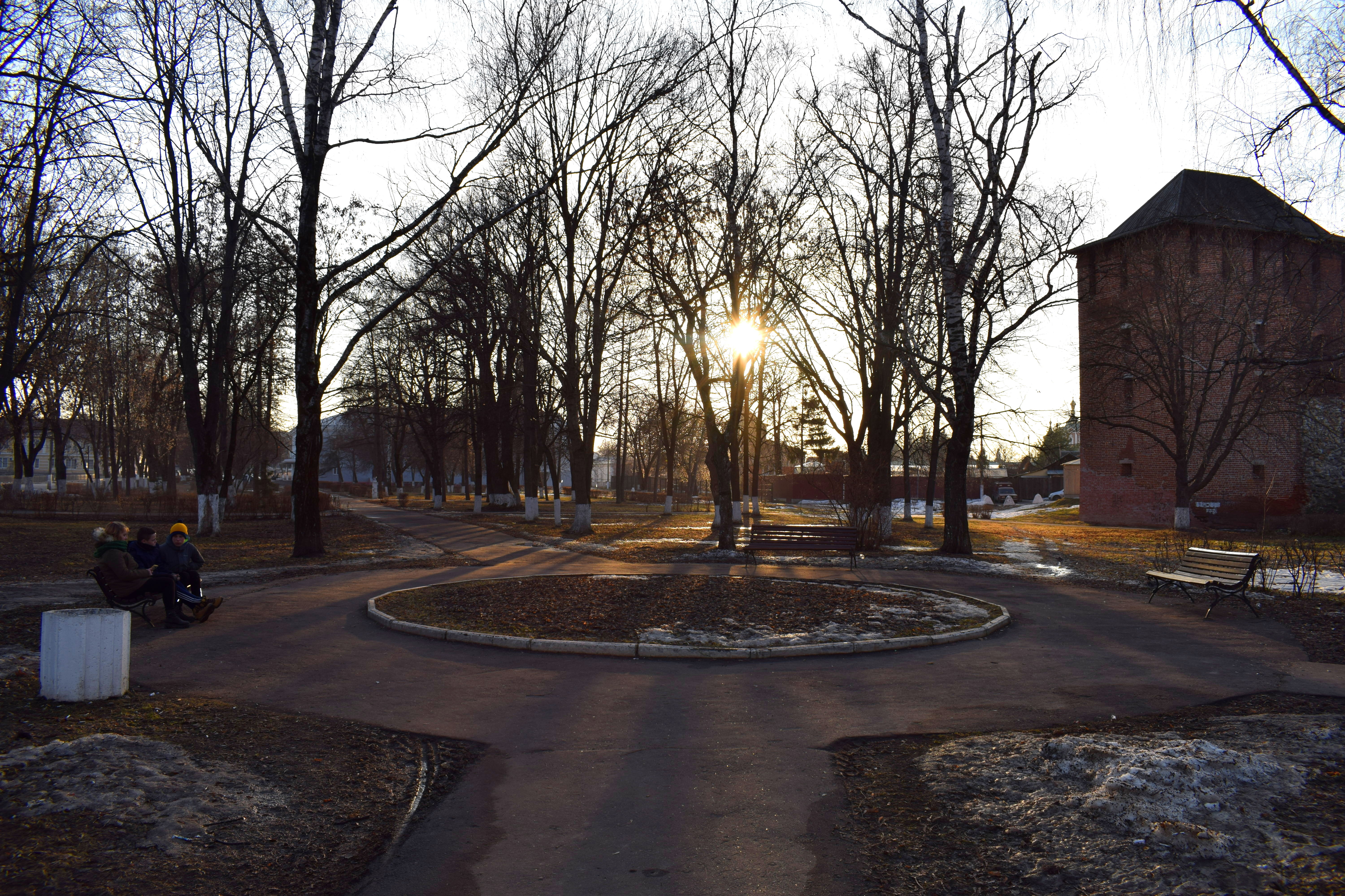
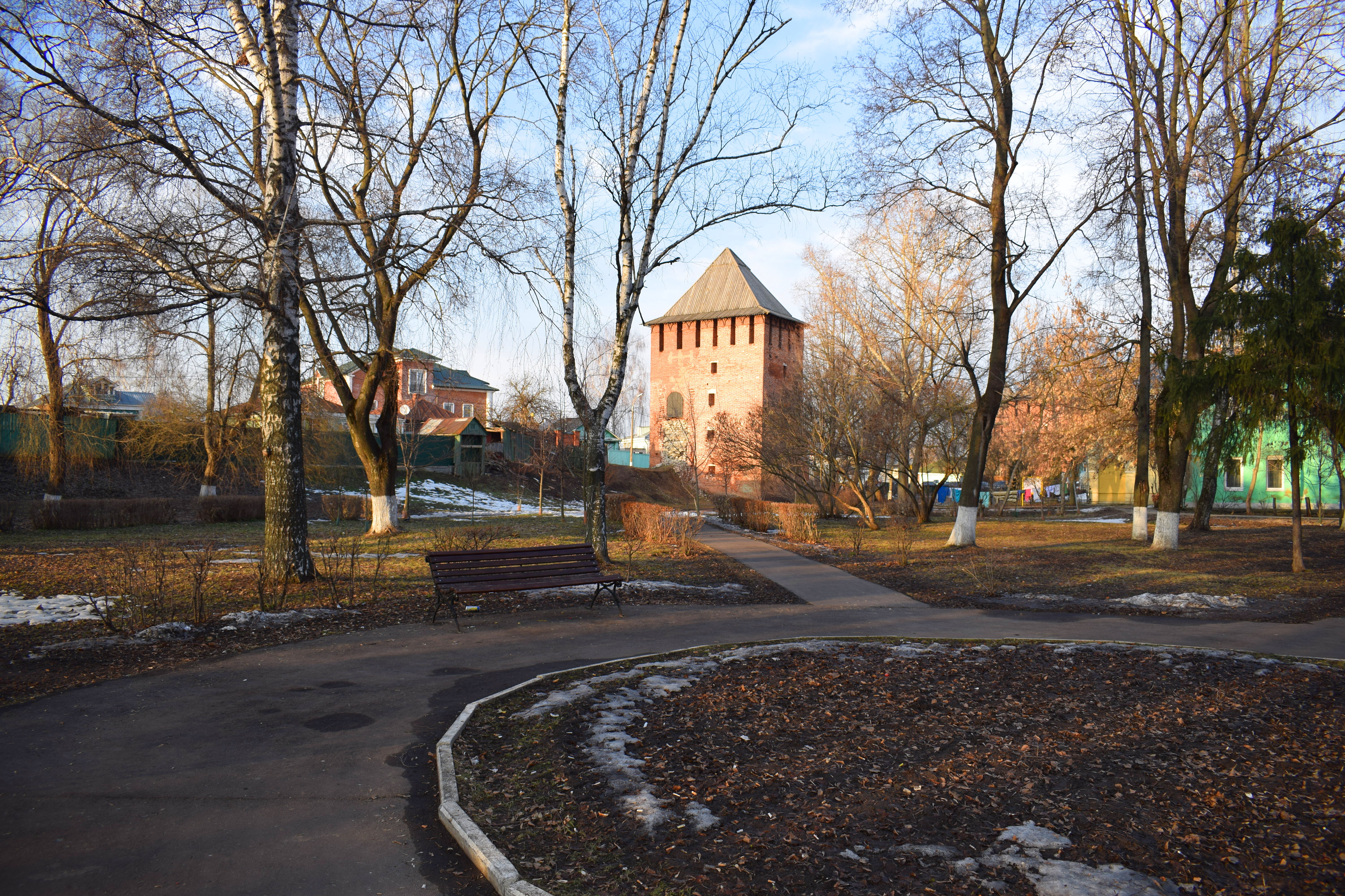
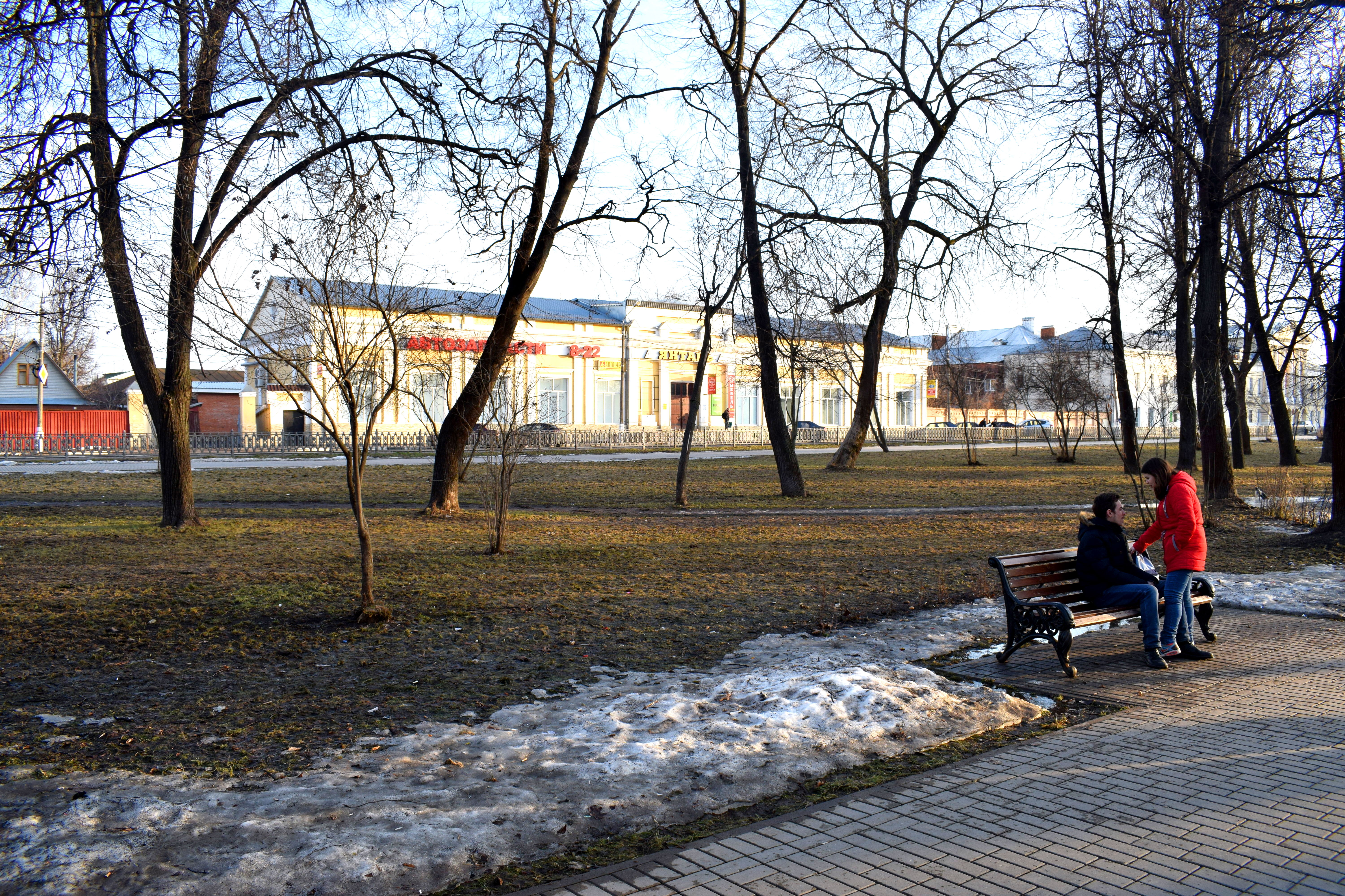
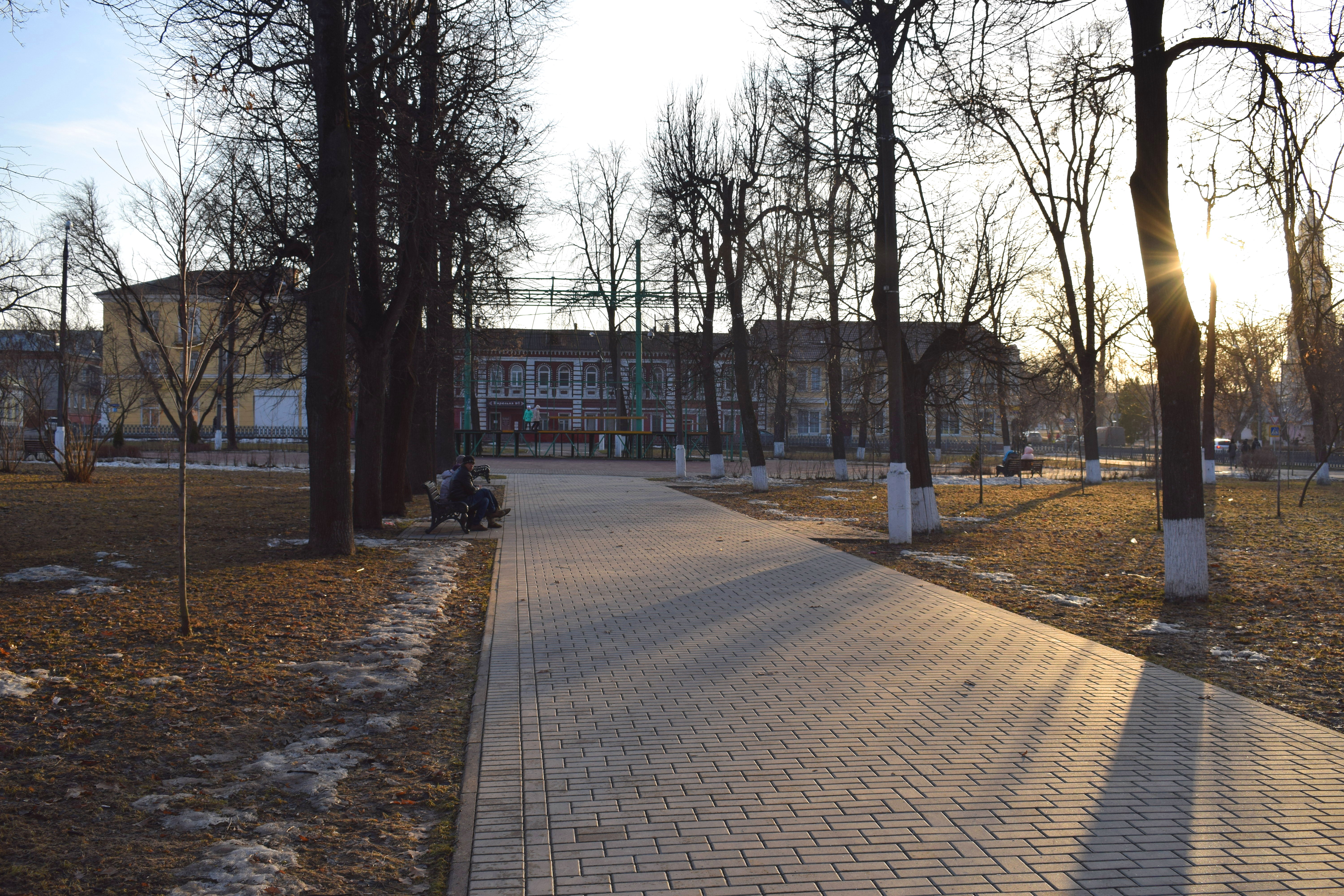
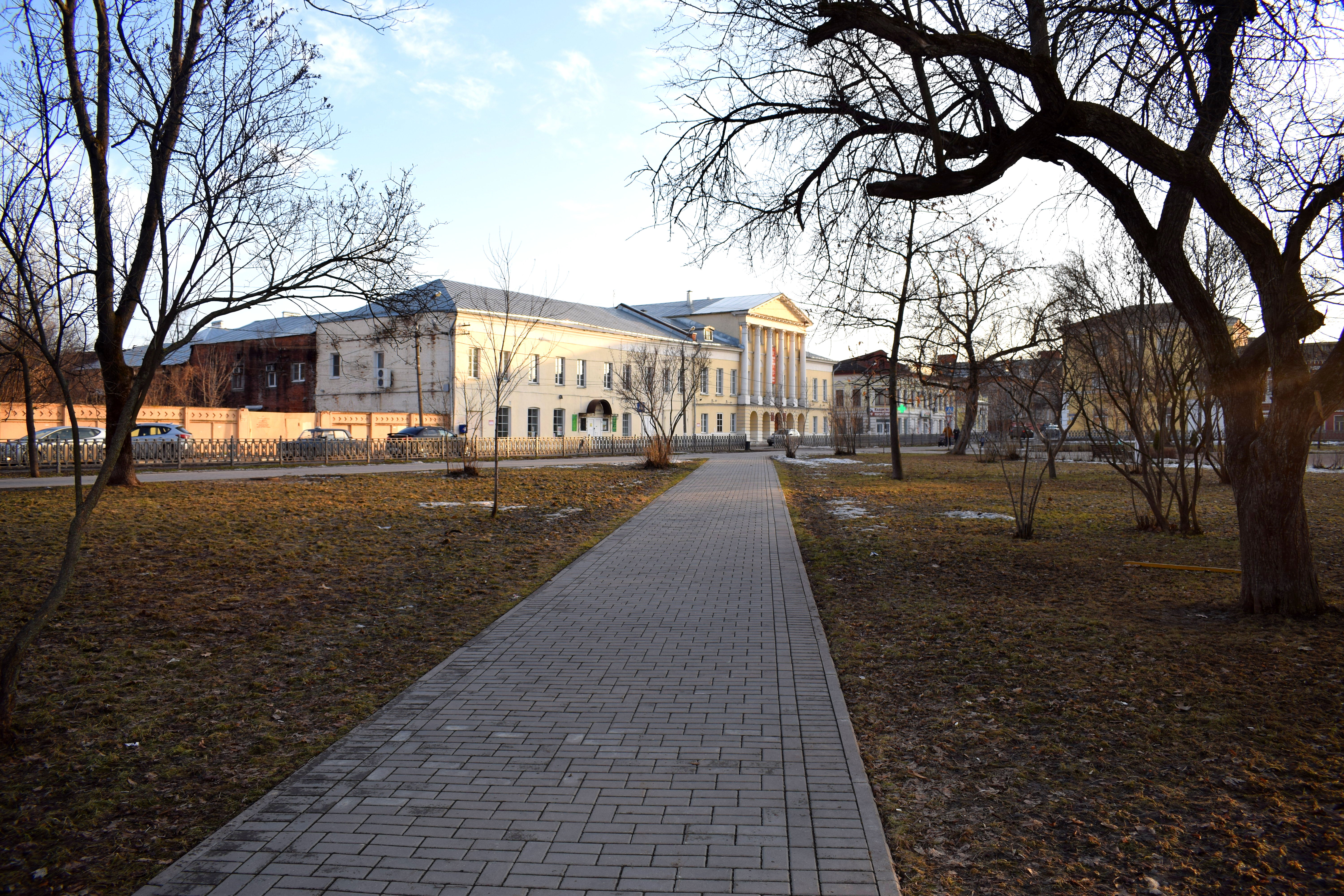 The city retains an old European feel, despite being located so far east from Europe’s heartland.
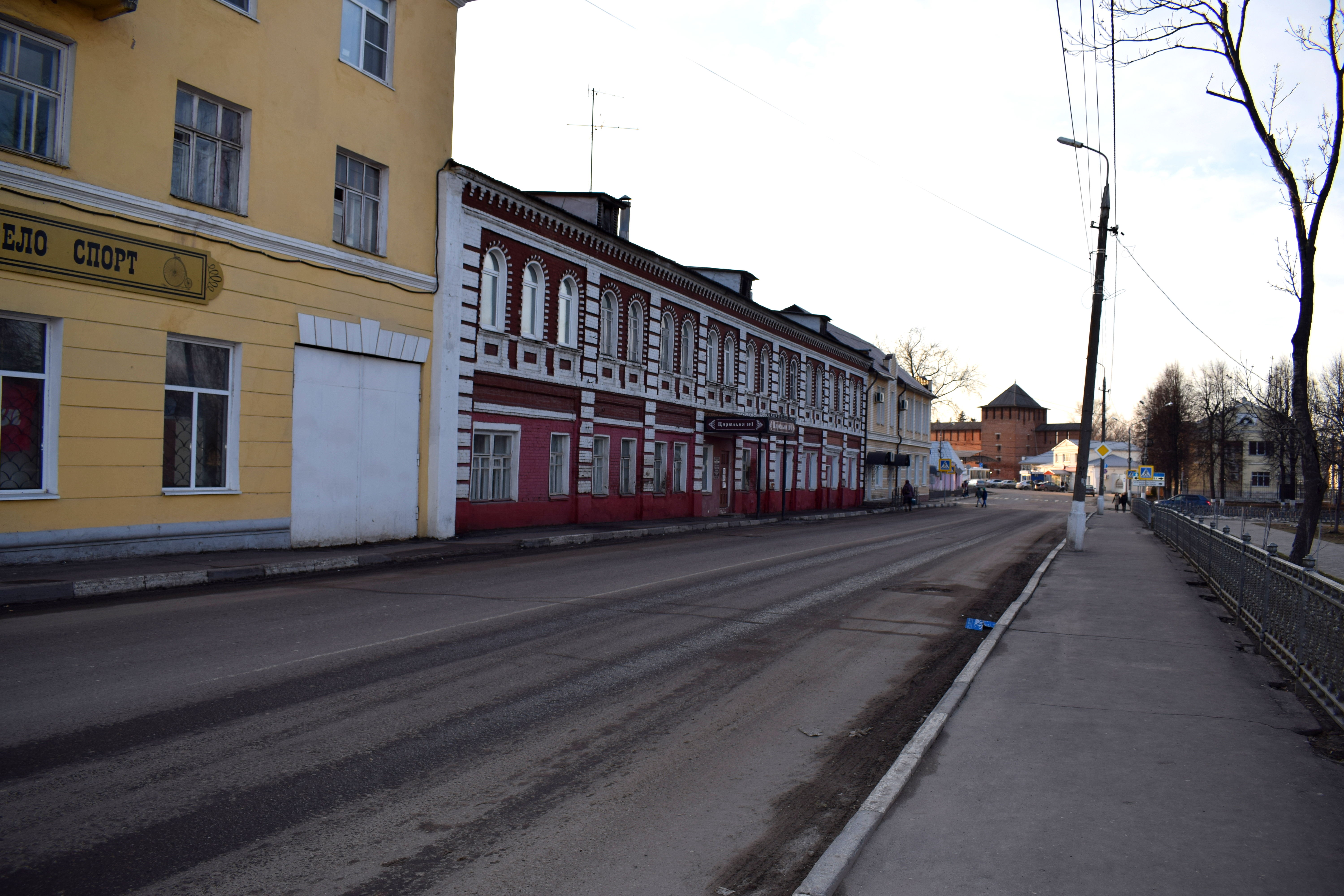
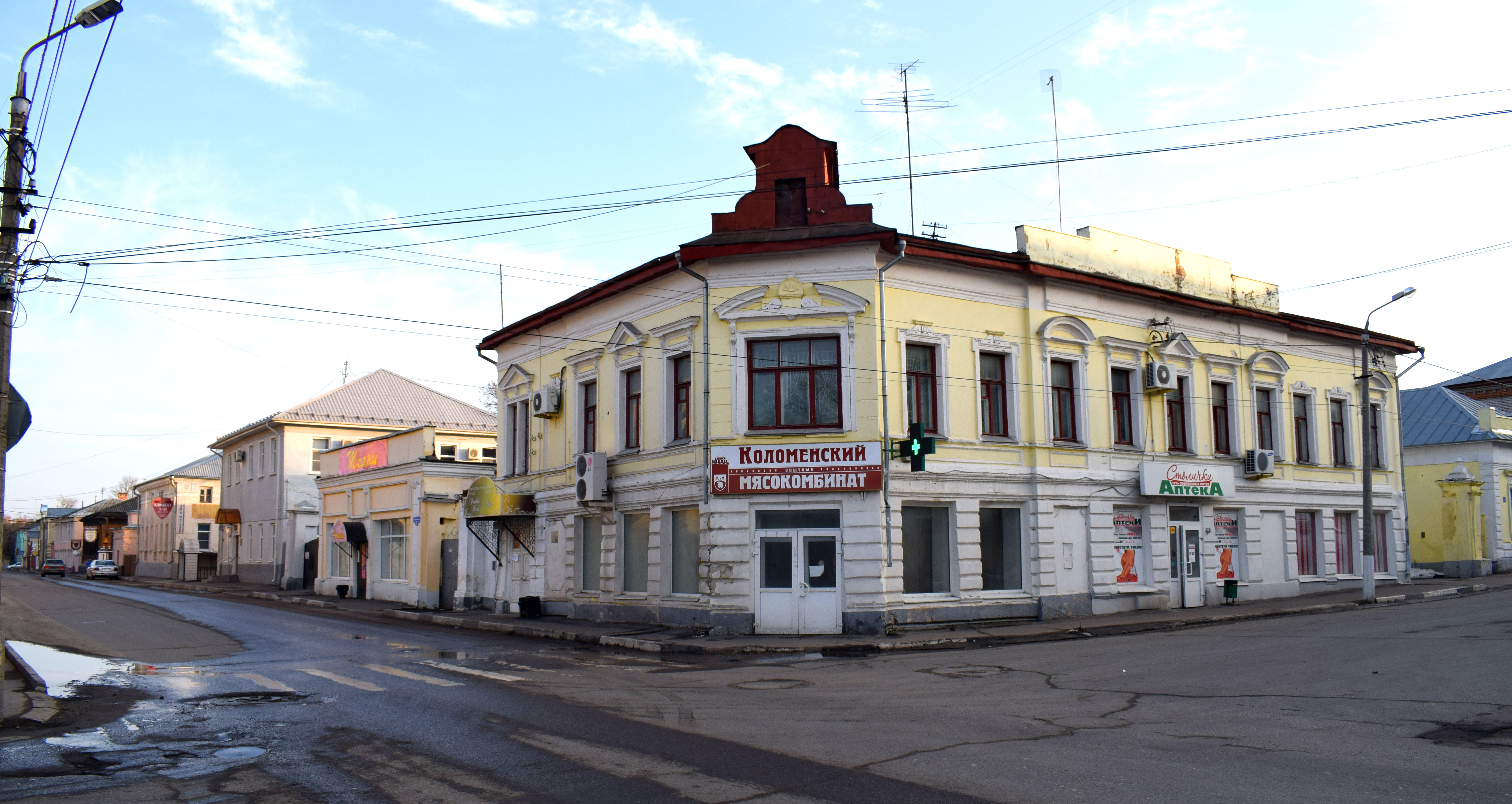
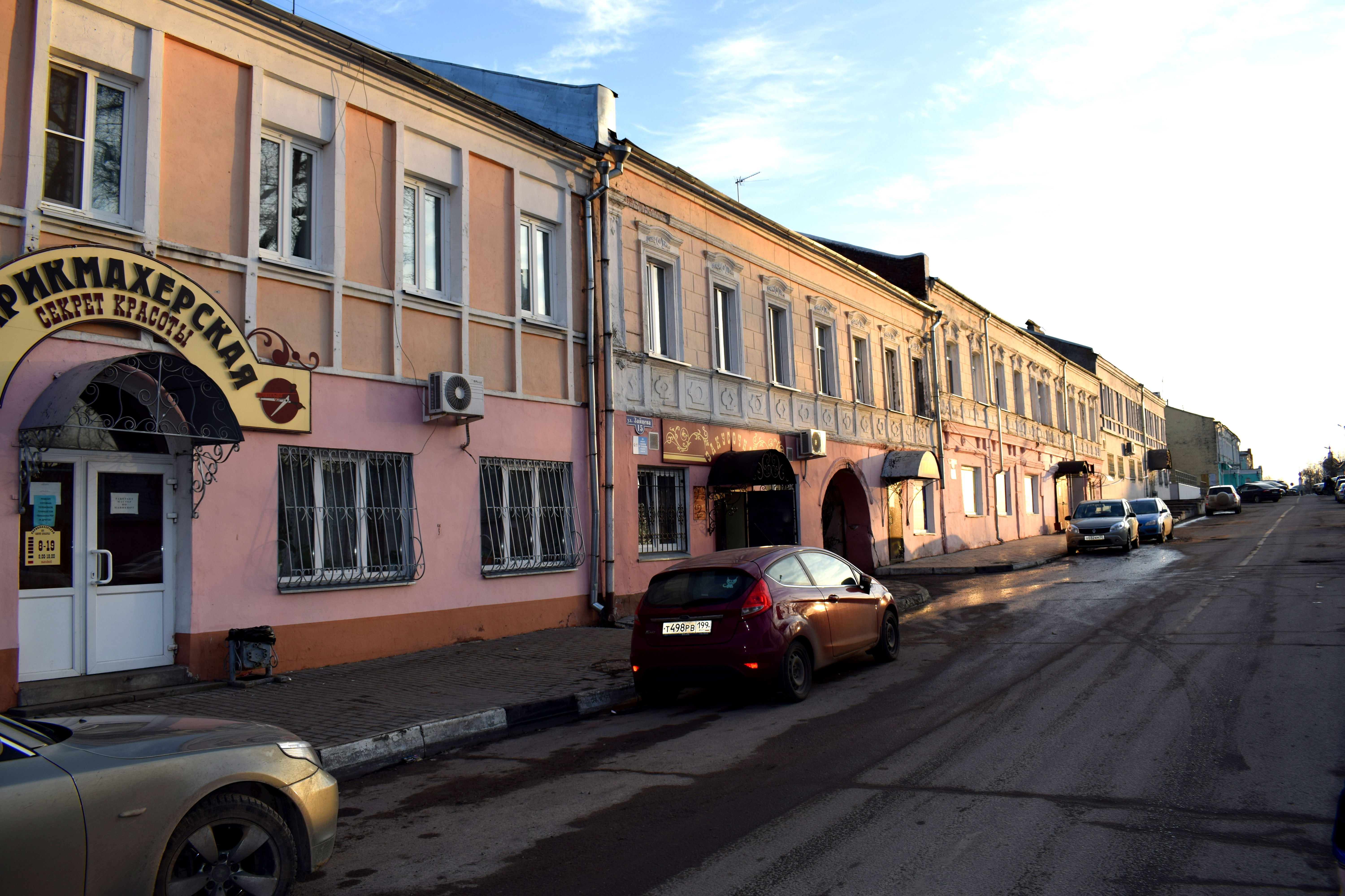
Every Russian city has a statue to Vladimir Lenin and Kolomna is no different.
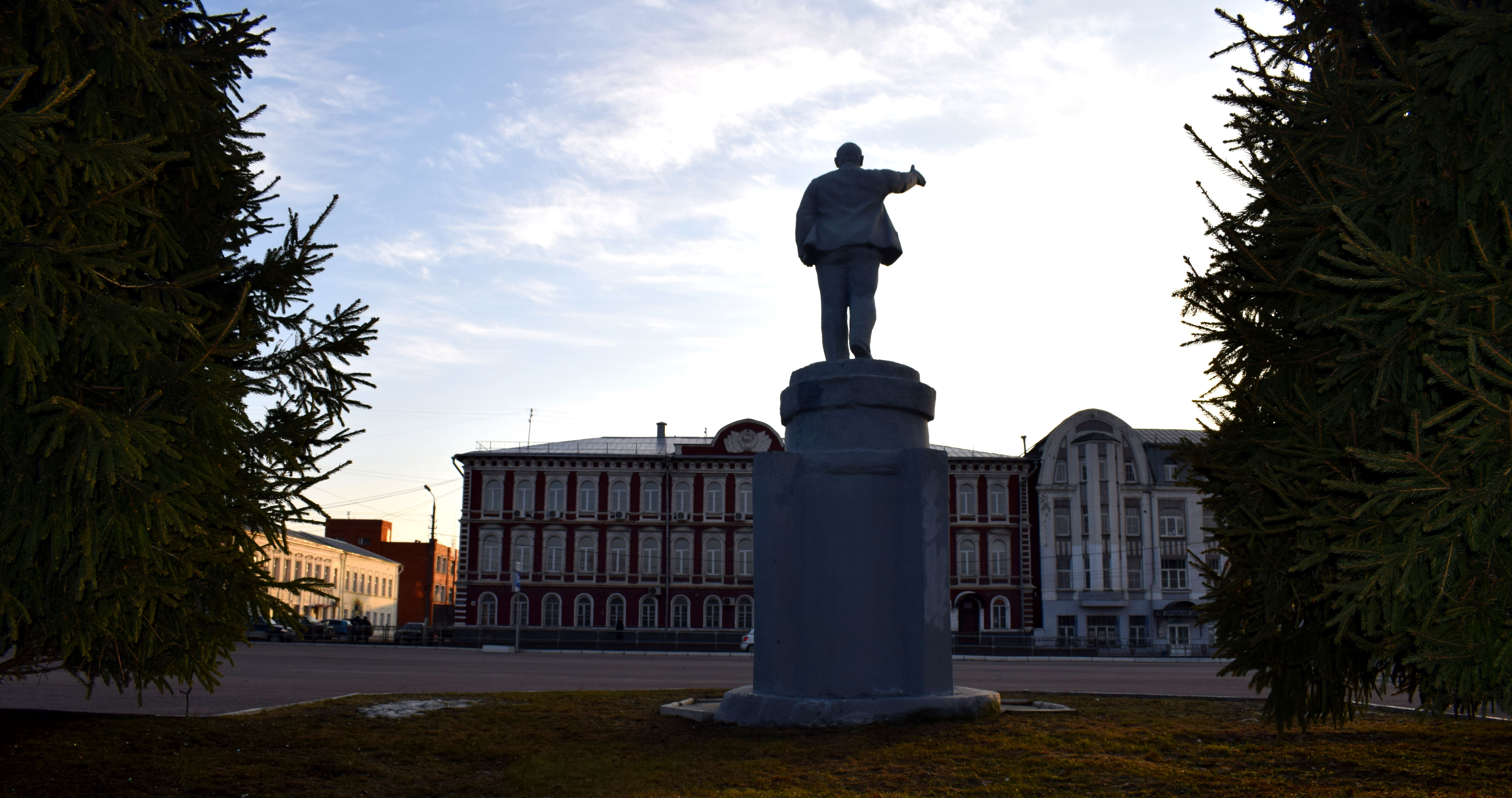 The Square of Two Revolutions
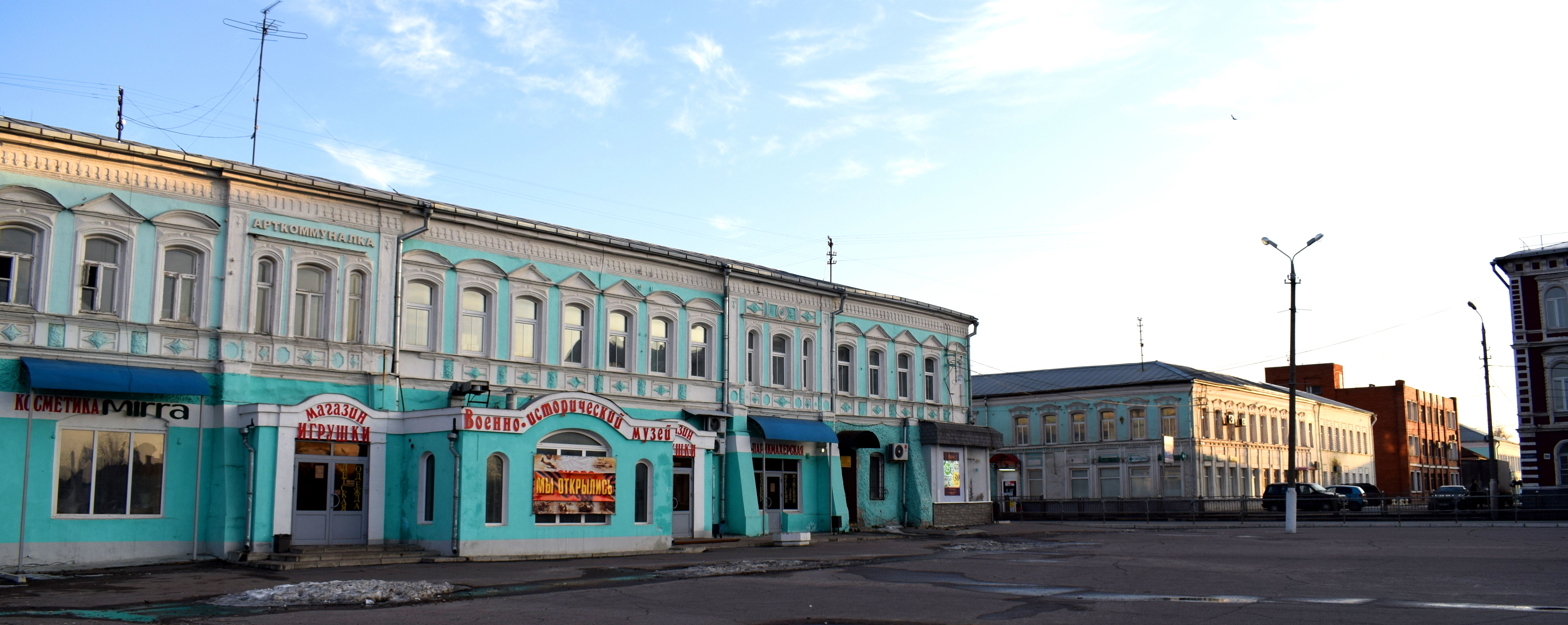 Lenin with a church in the background. It was this man who ordered the destruction of churches across the country in the 1920’s. The contrast is striking.
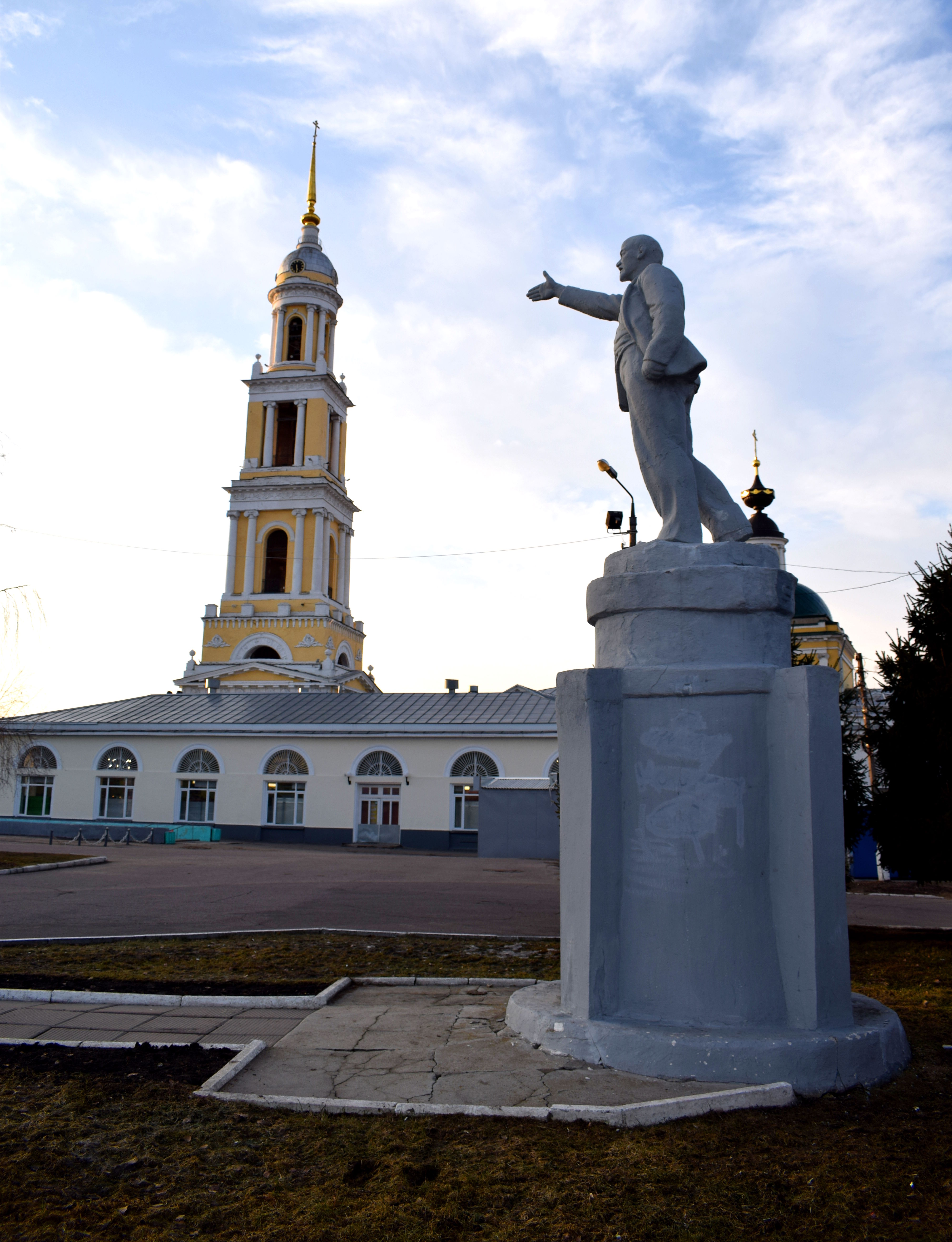 Church of the Apostle John-Bogoslov, built in 1756.
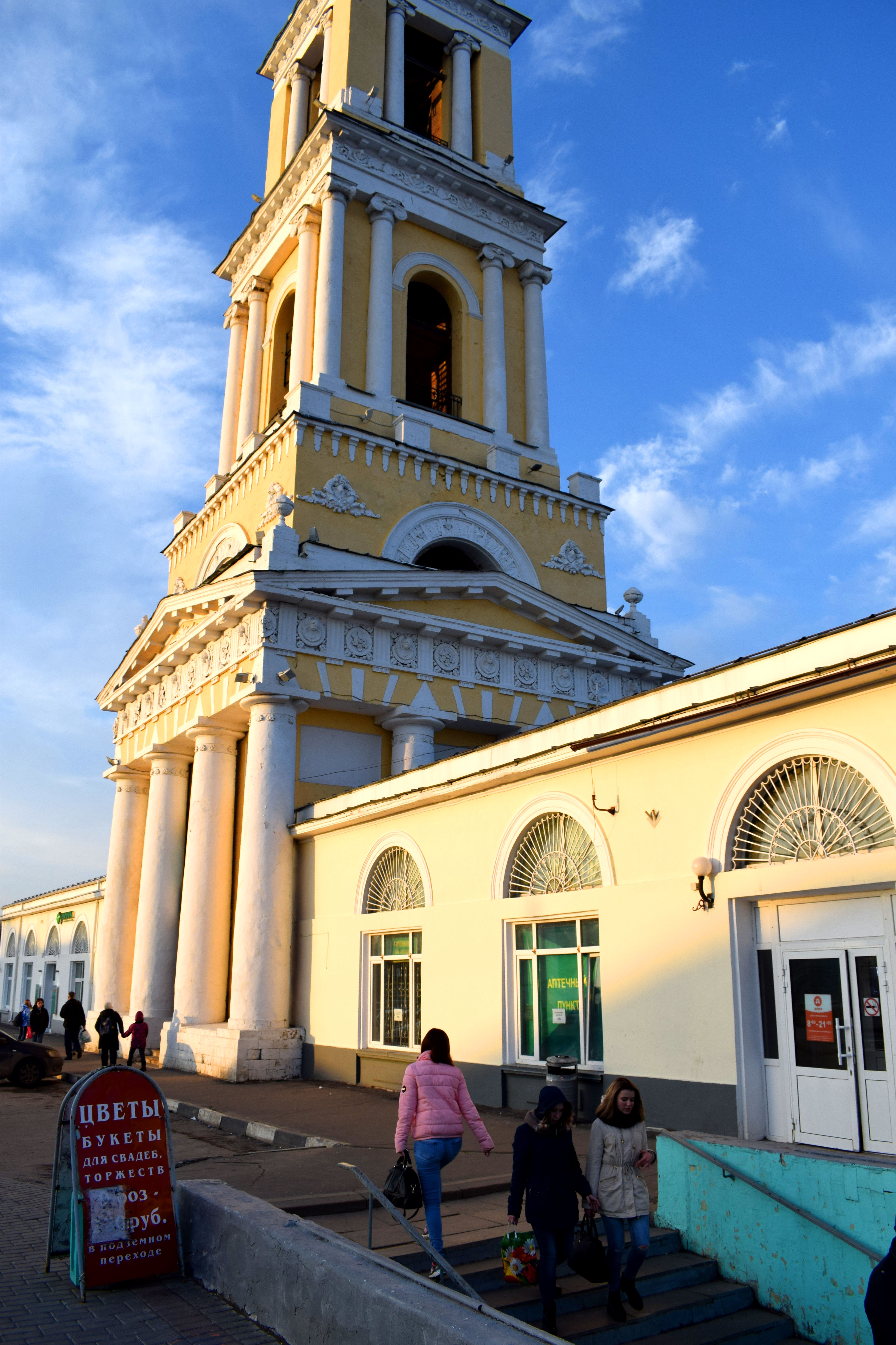 Another view of the Square of Two Revolutions. You can see the Kremlin in the background.
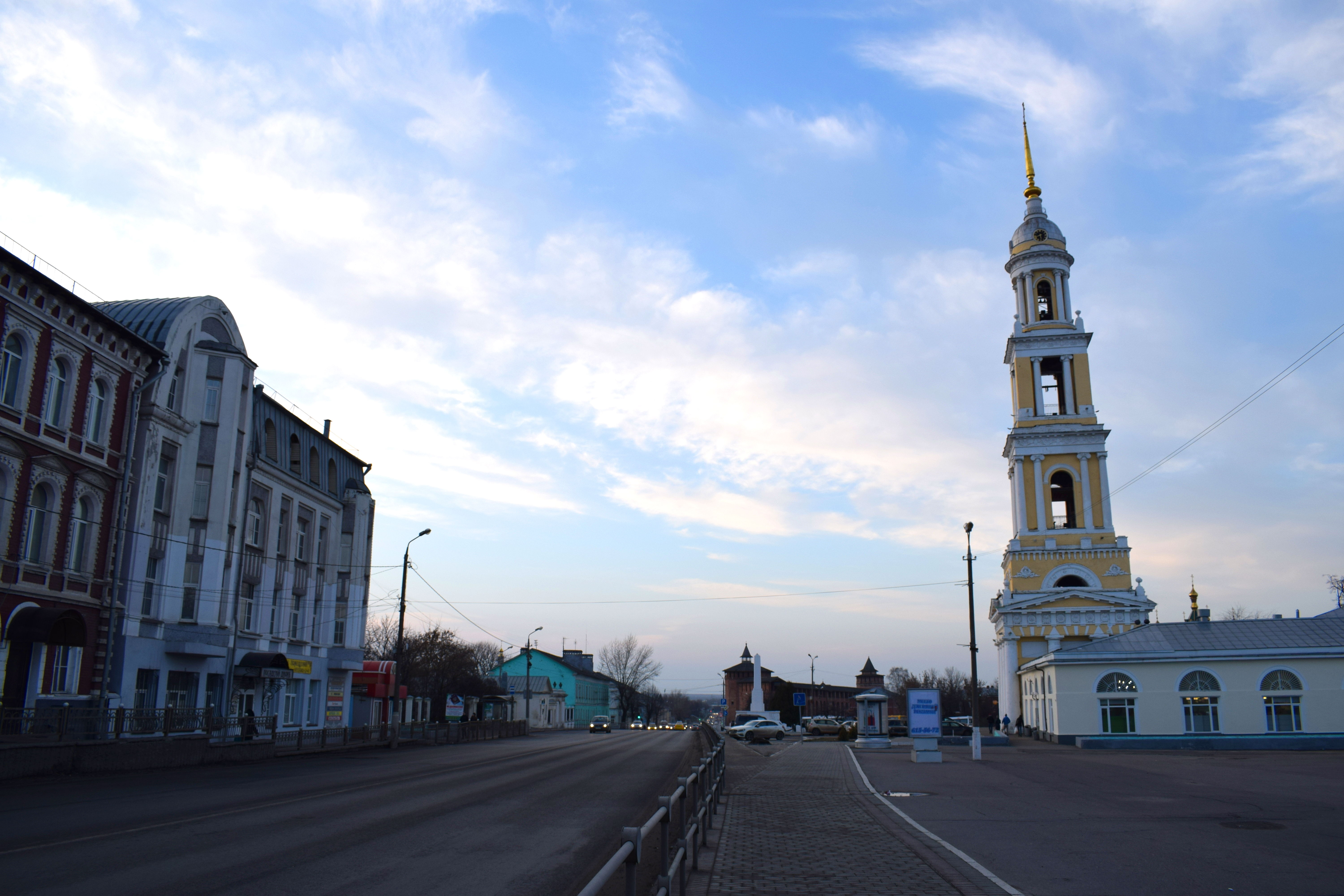
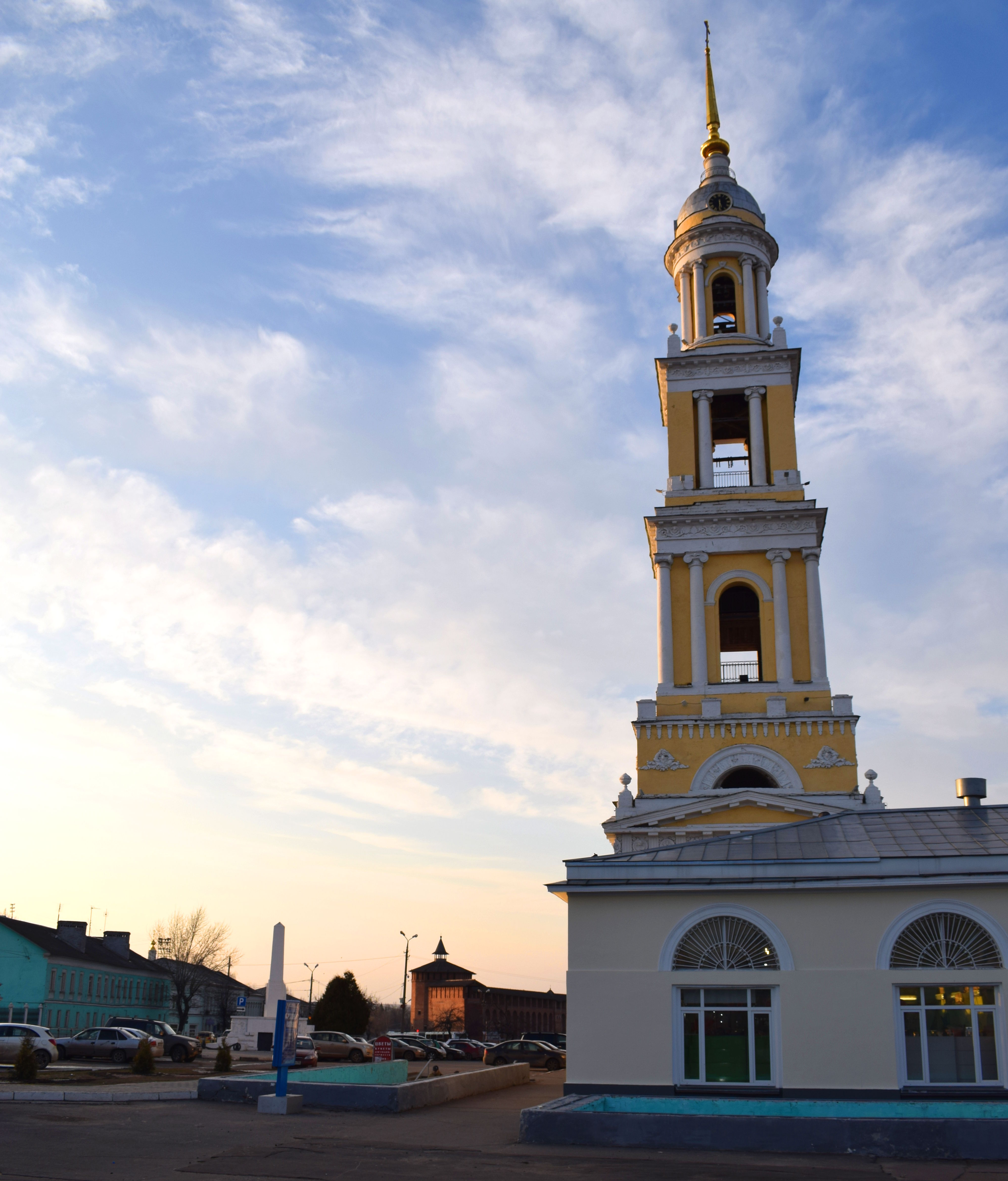 October Revolution Street. This is Kolomna’s main street which goes all the way to the train station and to the more modern section of the city.
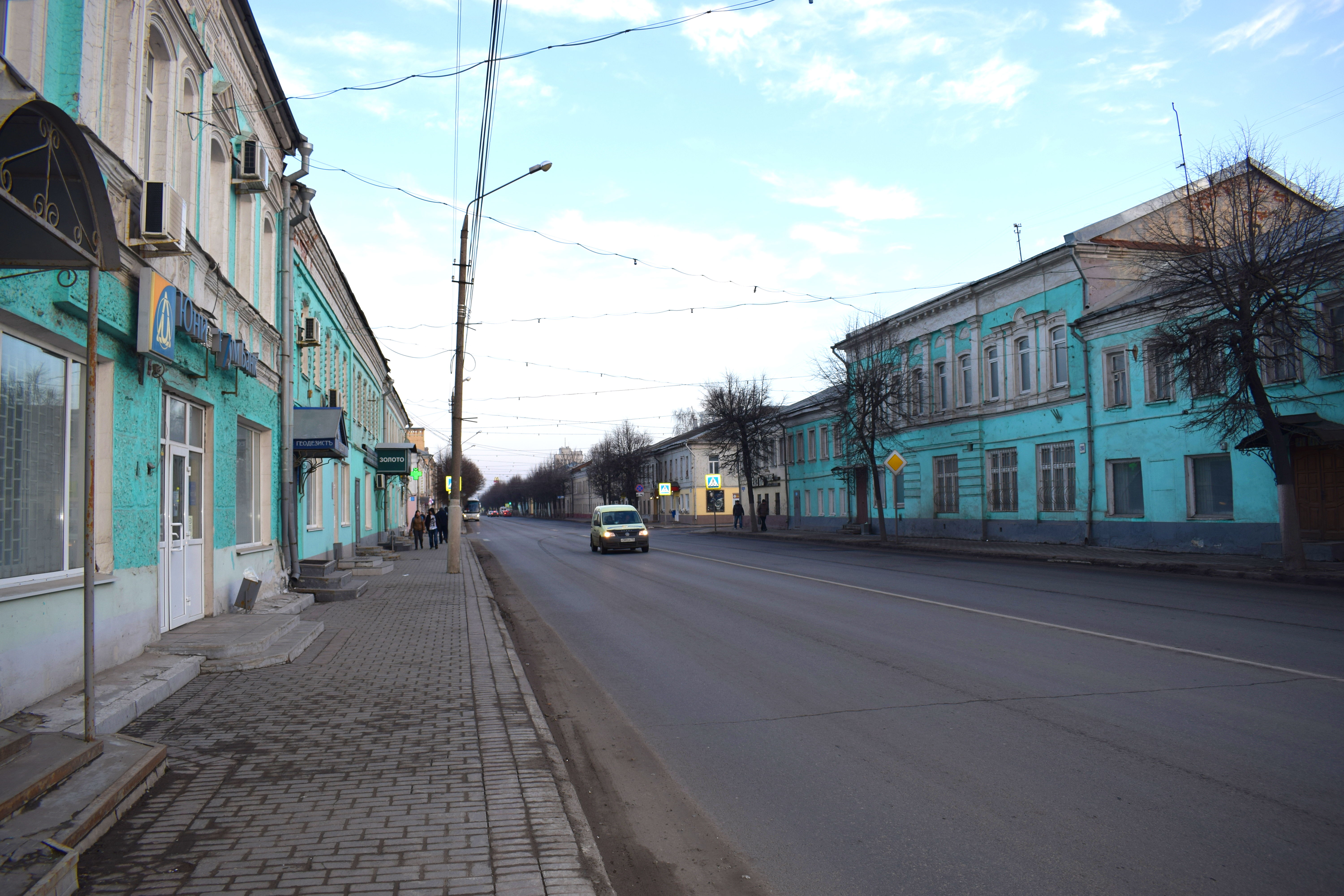 Some buildings are in need of an upgrade, but overall the European character of the town survives.
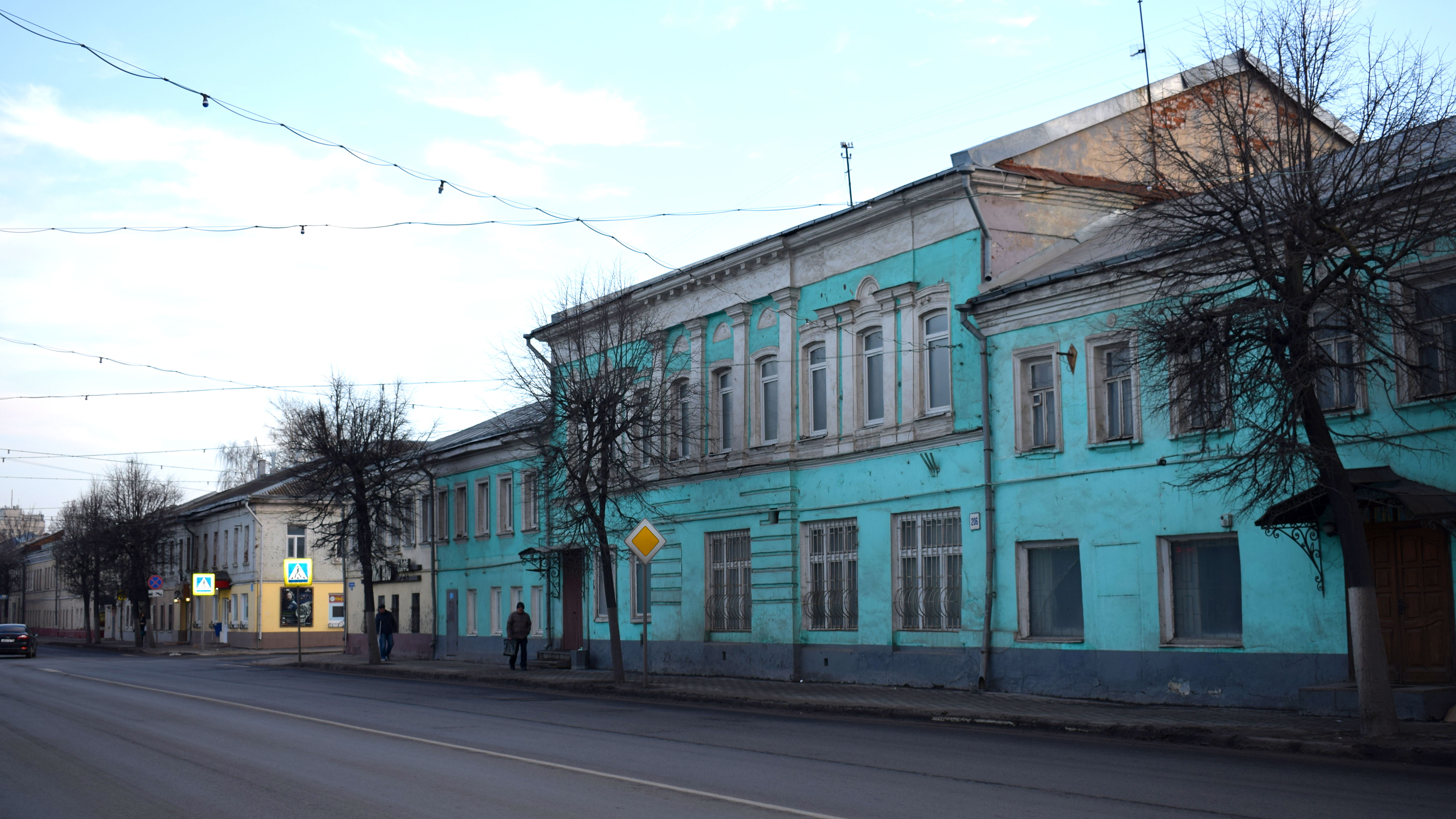
Blue seems to be the city’s favorite color.
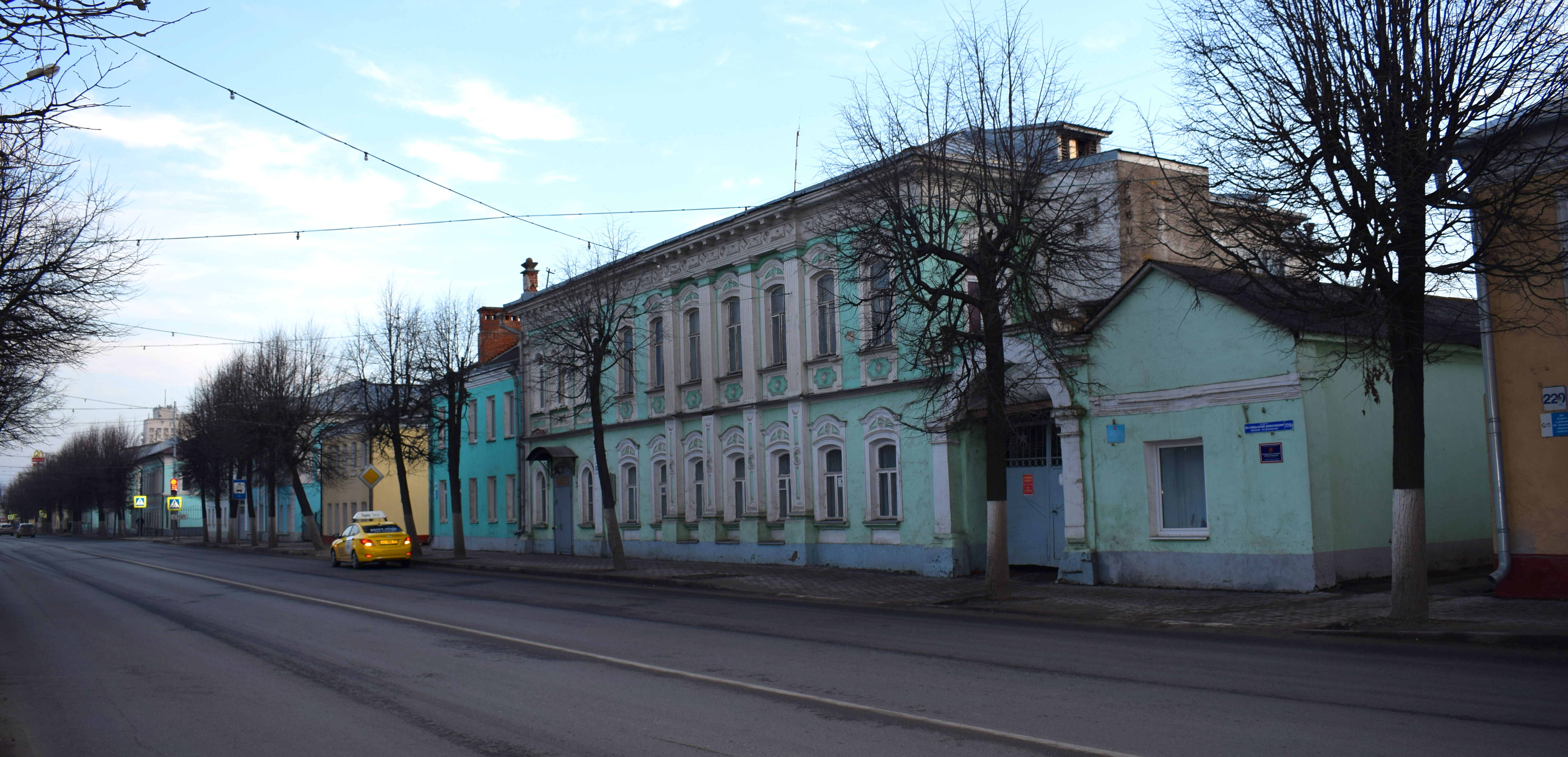
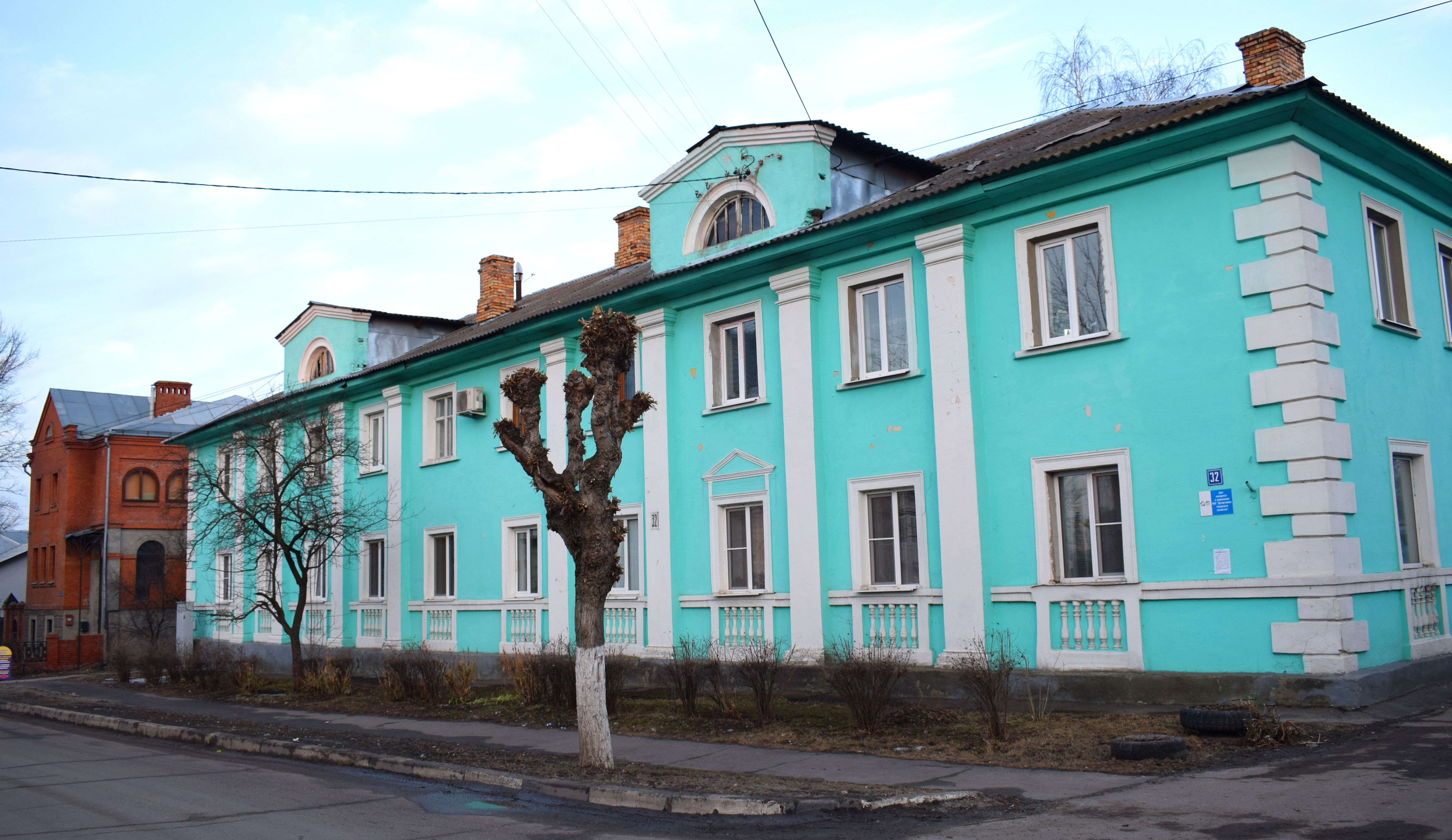
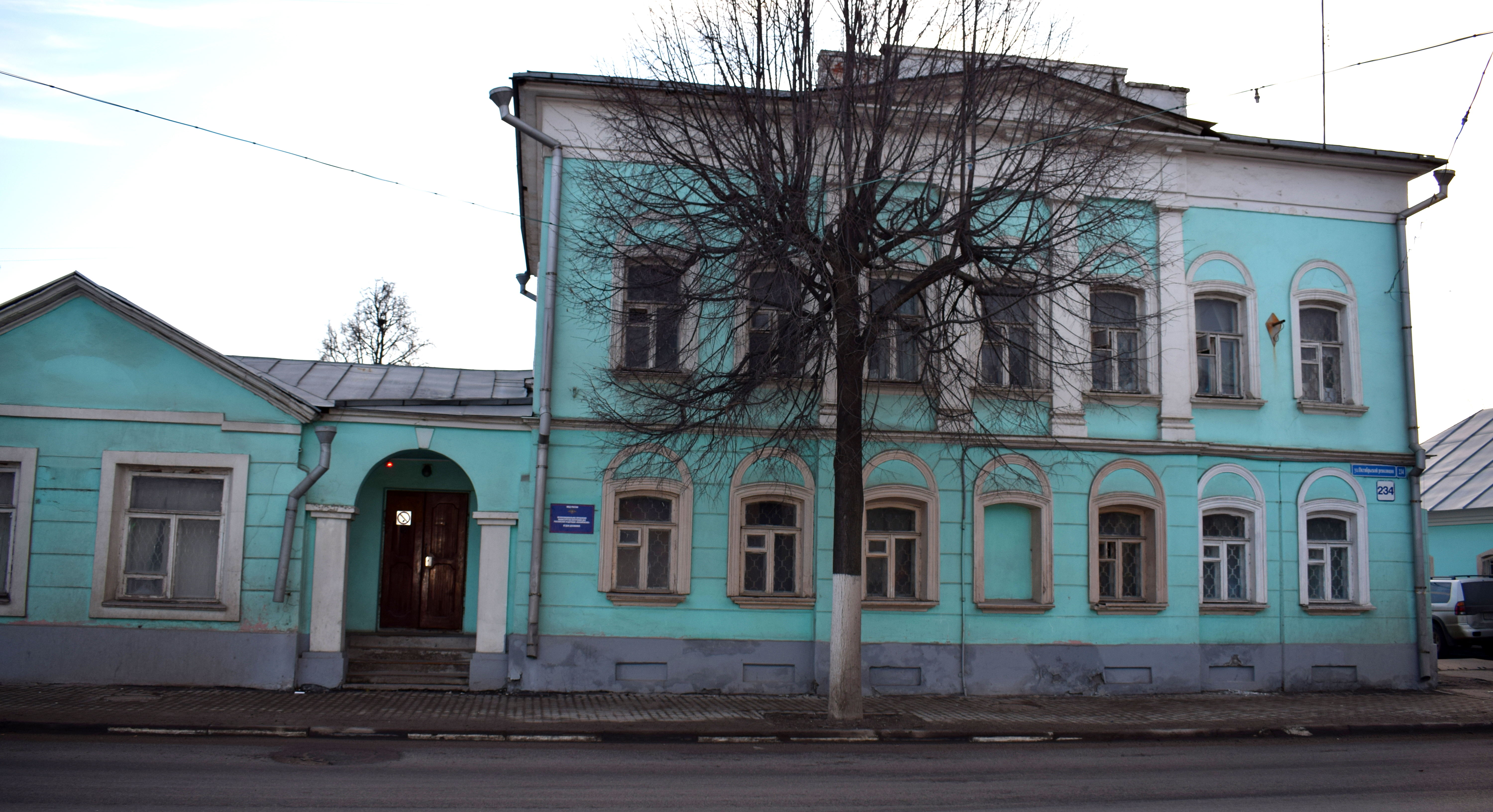 And sometimes yellow.
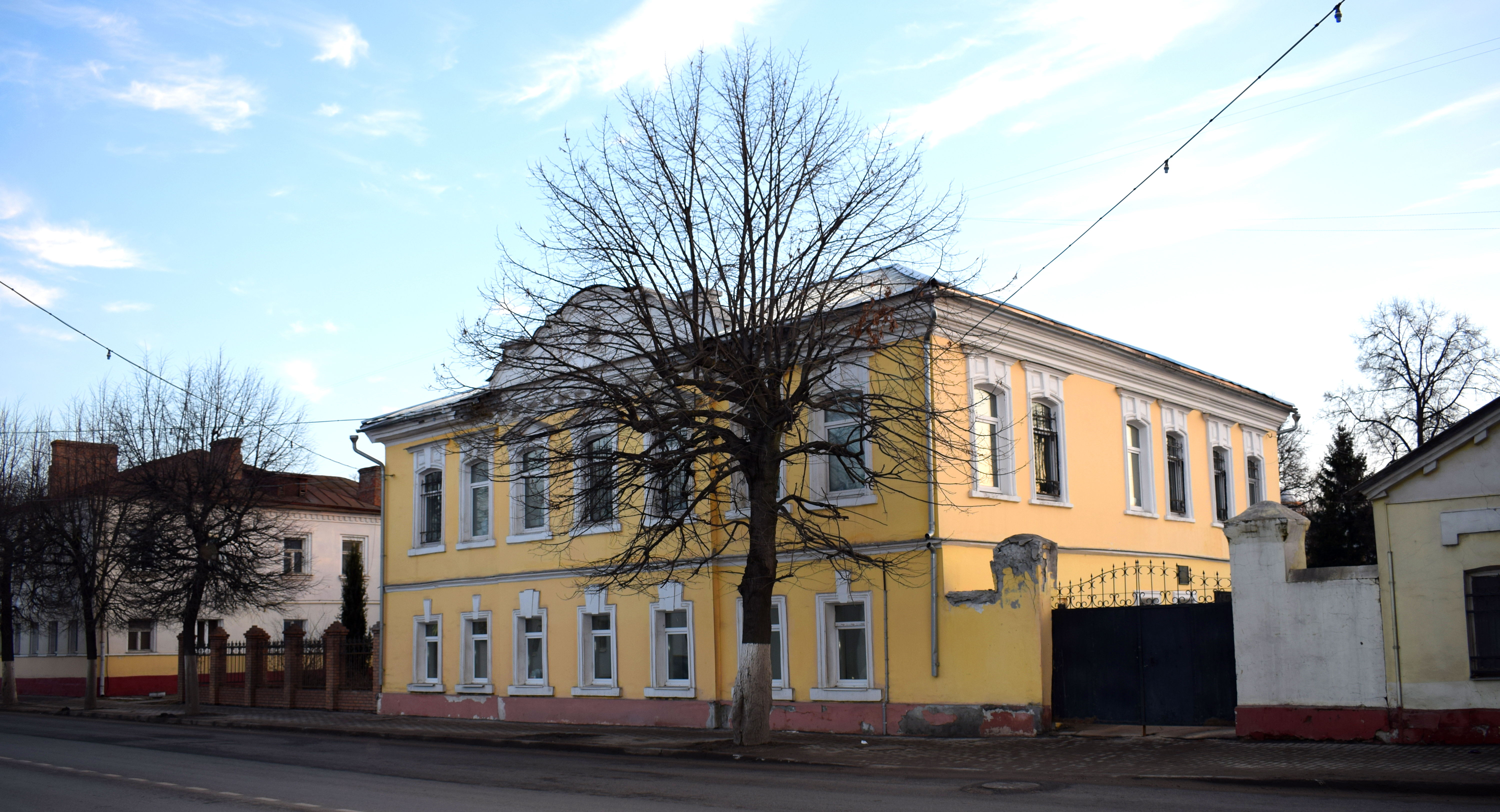 And finally some more old wooden homes.
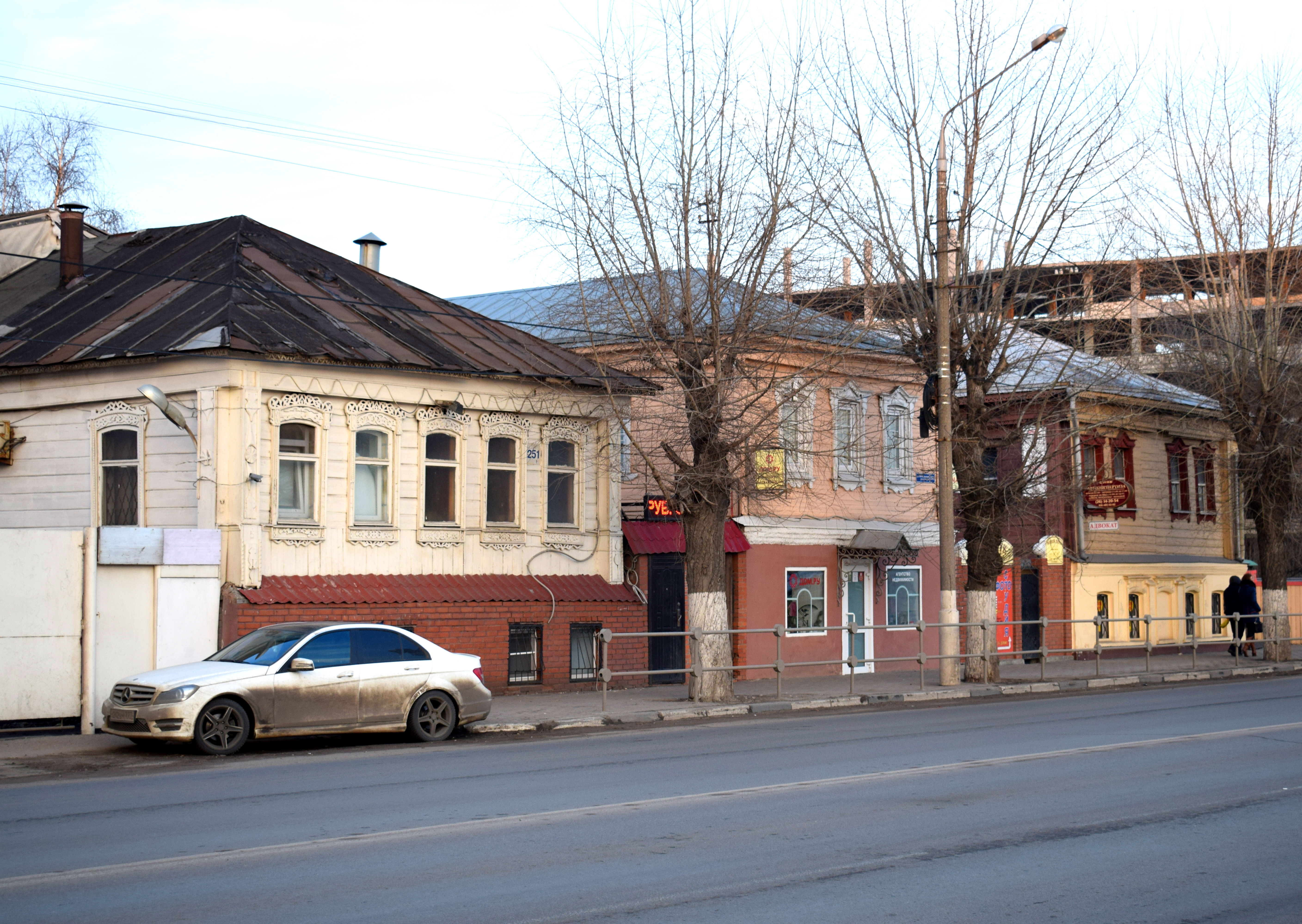 Overall Kolomna is a great city to visit. Located just two hours south of Moscow, its small town feel contrasts sharply with the big metropolis to its north. The rich history, ancient churches and small local shops and cafes are enough to fill up the better part of a day or weekend. Take an early train in the morning from Moscow and you can come back in the evening with a rewarding experience of Russia’s provincial heartland.

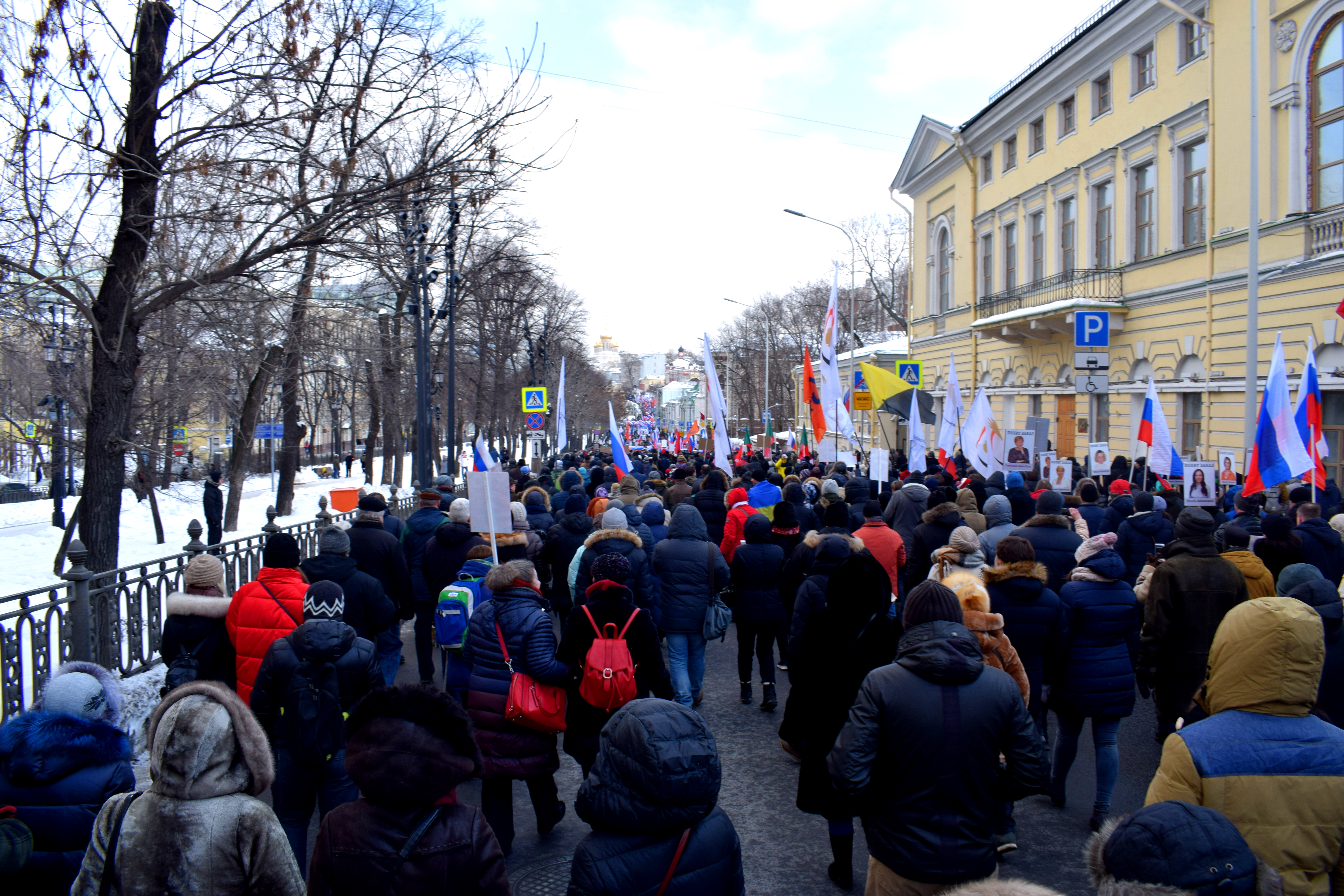 People came carrying pictures of Boris Nemtsov and waving Russian flags.
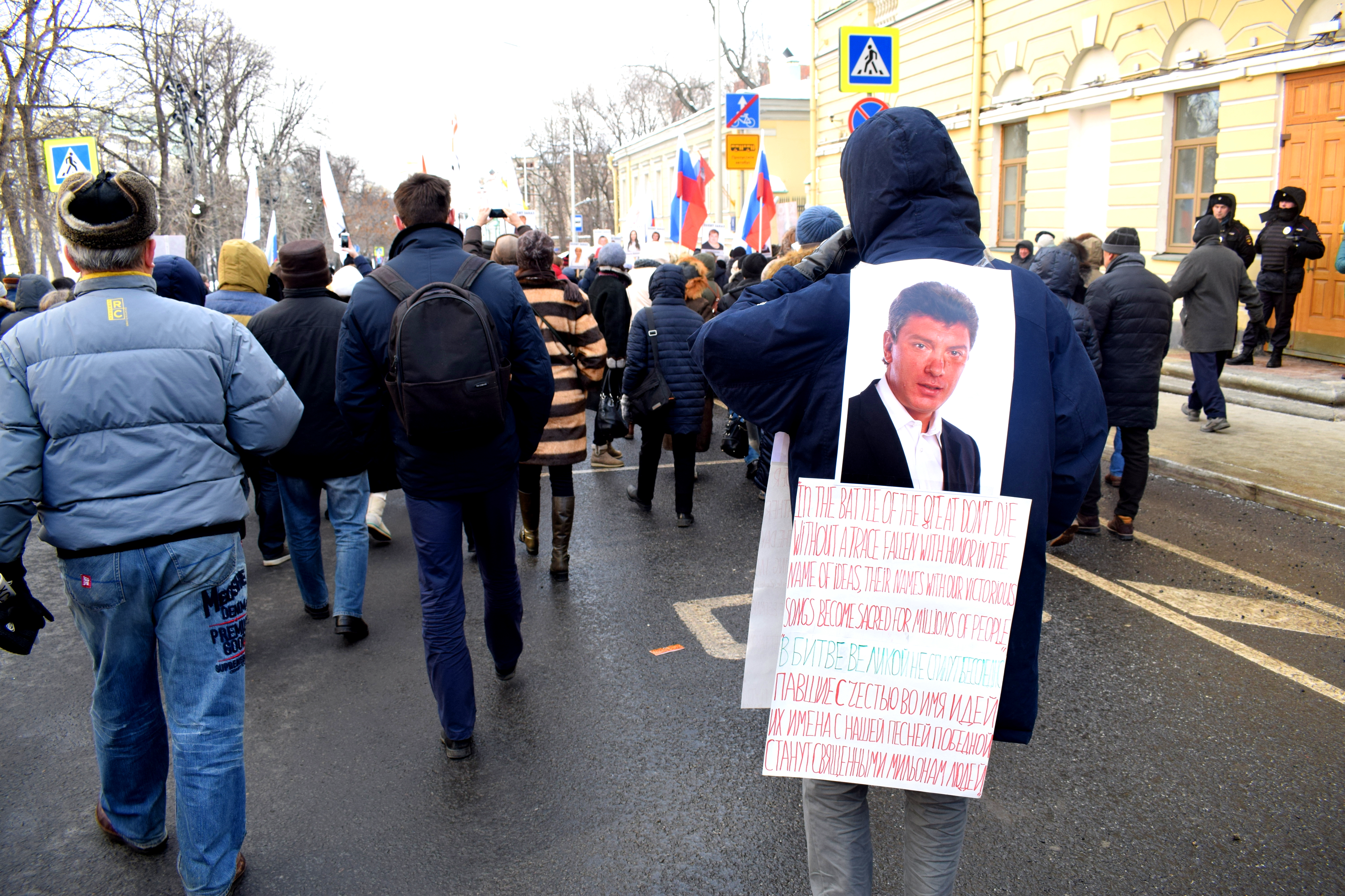 Police had prepared for 30,000 people to show up, although much less people ended up coming. Police put the number at 4,000 people while others said the number was closer to 7,000-8,000.
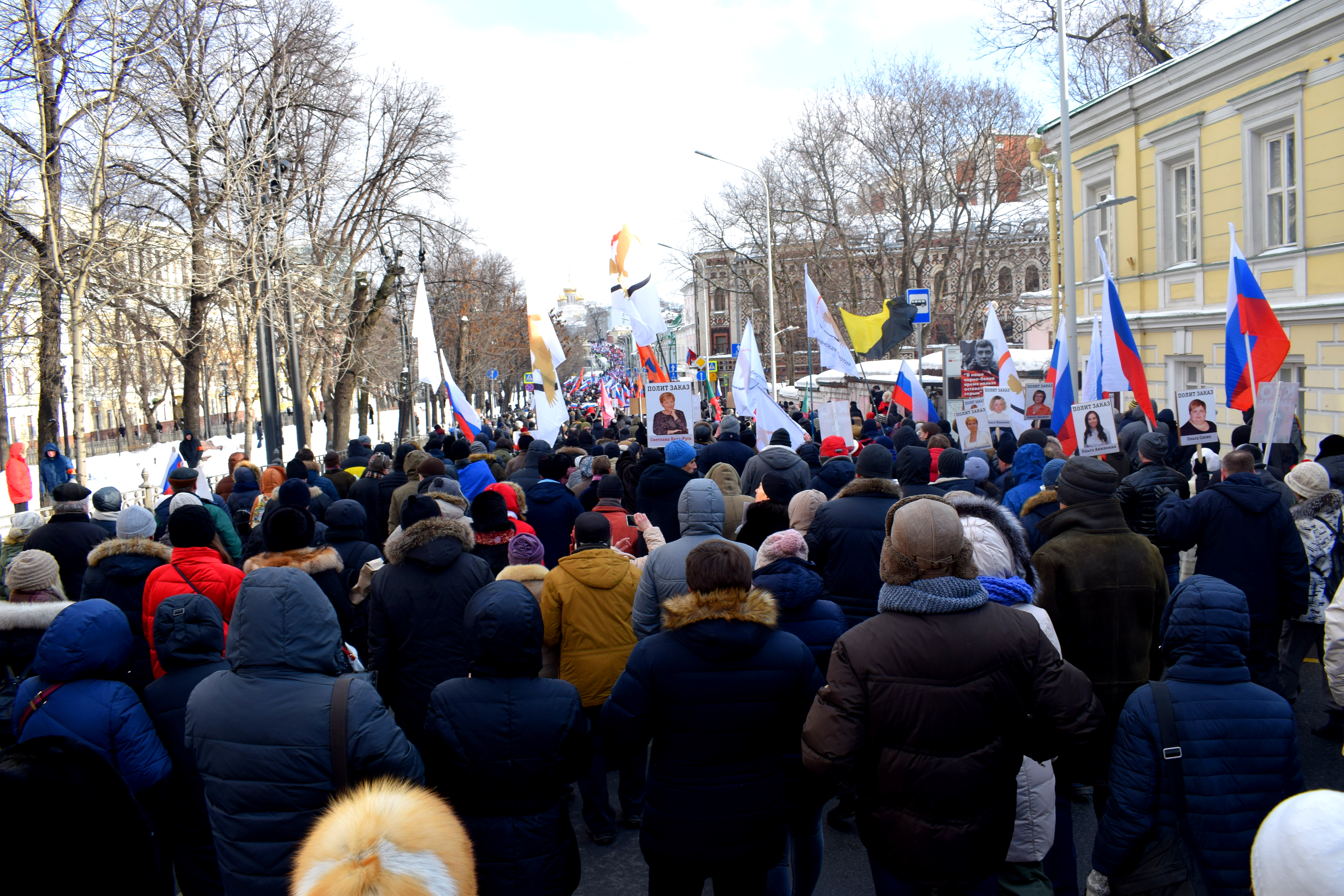 “Killed for freedom.”
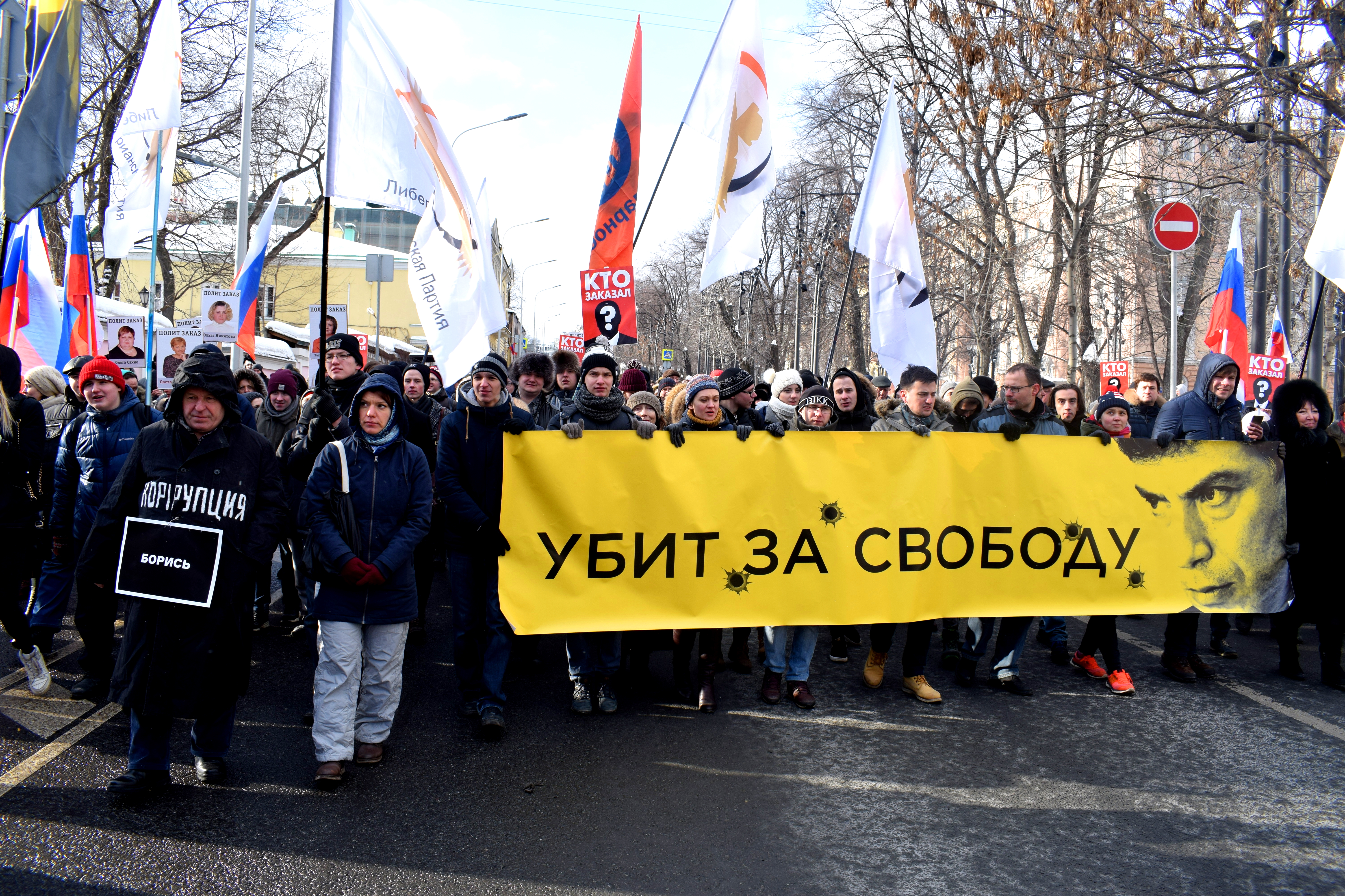 On the left: “Fight every day. Against persecution, repression and fabricated charges.”
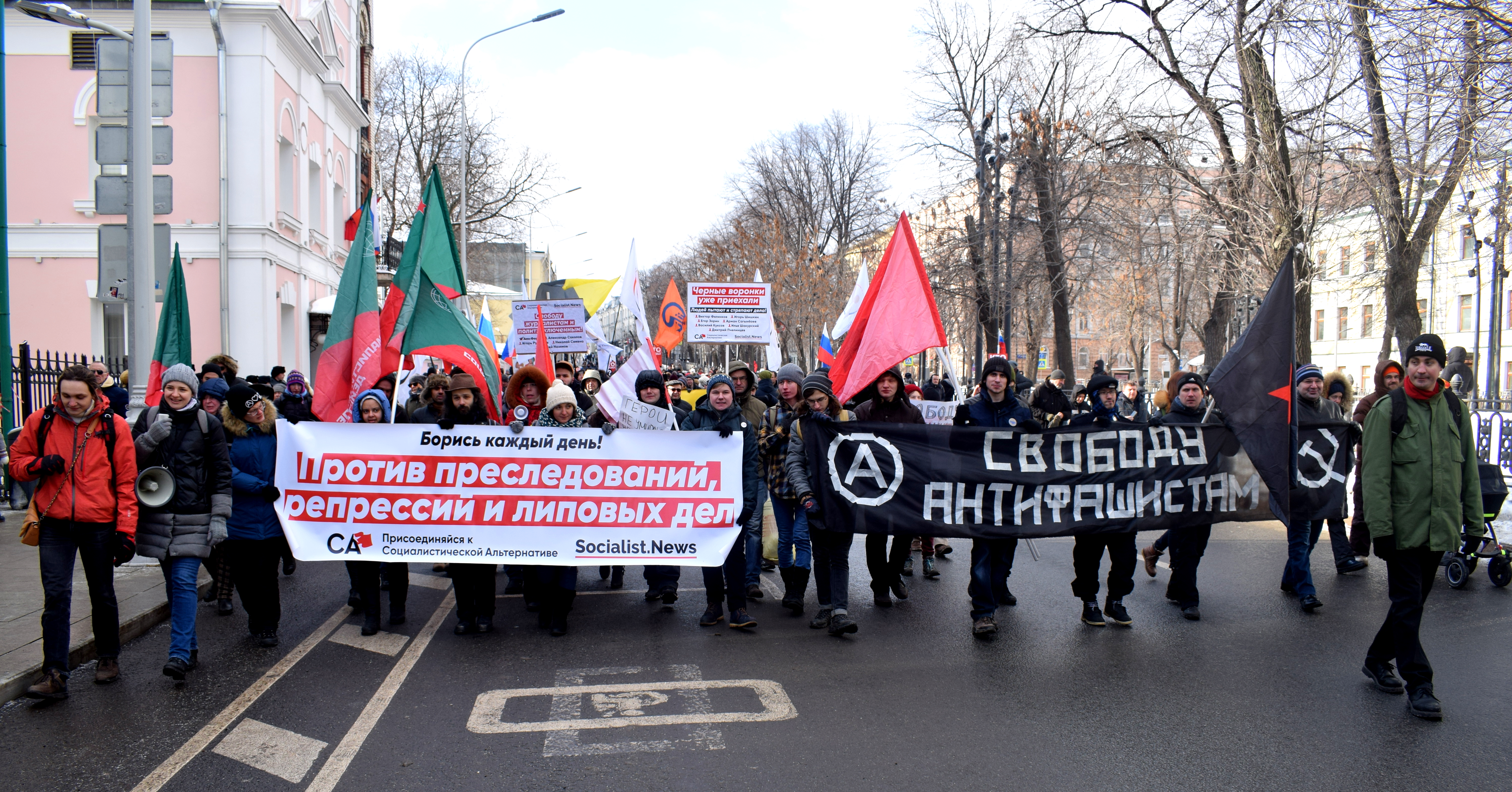 Unlike protests in Europe or North America where anybody walking by can join, in Moscow police cornered off a section of the city so only those that knew about the march and joined it at the beginning could attend. People walking by on side streets were not allowed to join. This tactic keeps the numbers and publicity of opposition events down.
 The flag of the Solidarnost Party, a liberal democratic political party founded by Boris Nemtsov, Garry Kasparov and other well-known opposition parties in 2008.
 “No Words”
 A Ukrainian flag amid a sea of Russian flags.
 “Freedom nation republicanism”
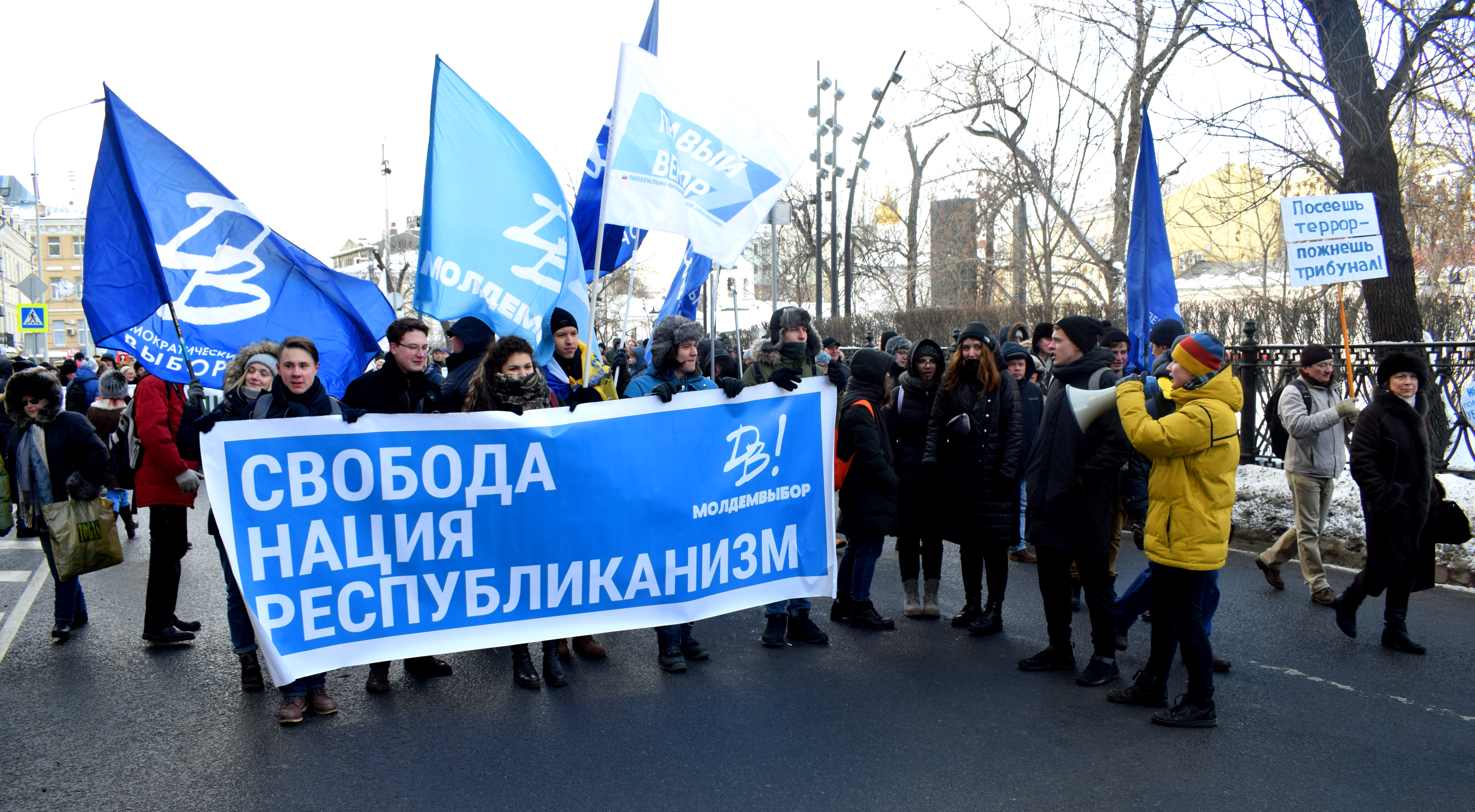 “Russian March opposes political terror.” Russian March is a gathering of Russian nationalists. Even they came out to voice their protest against the murder of the liberal critic, despite being on opposite sides of the political spectrum.
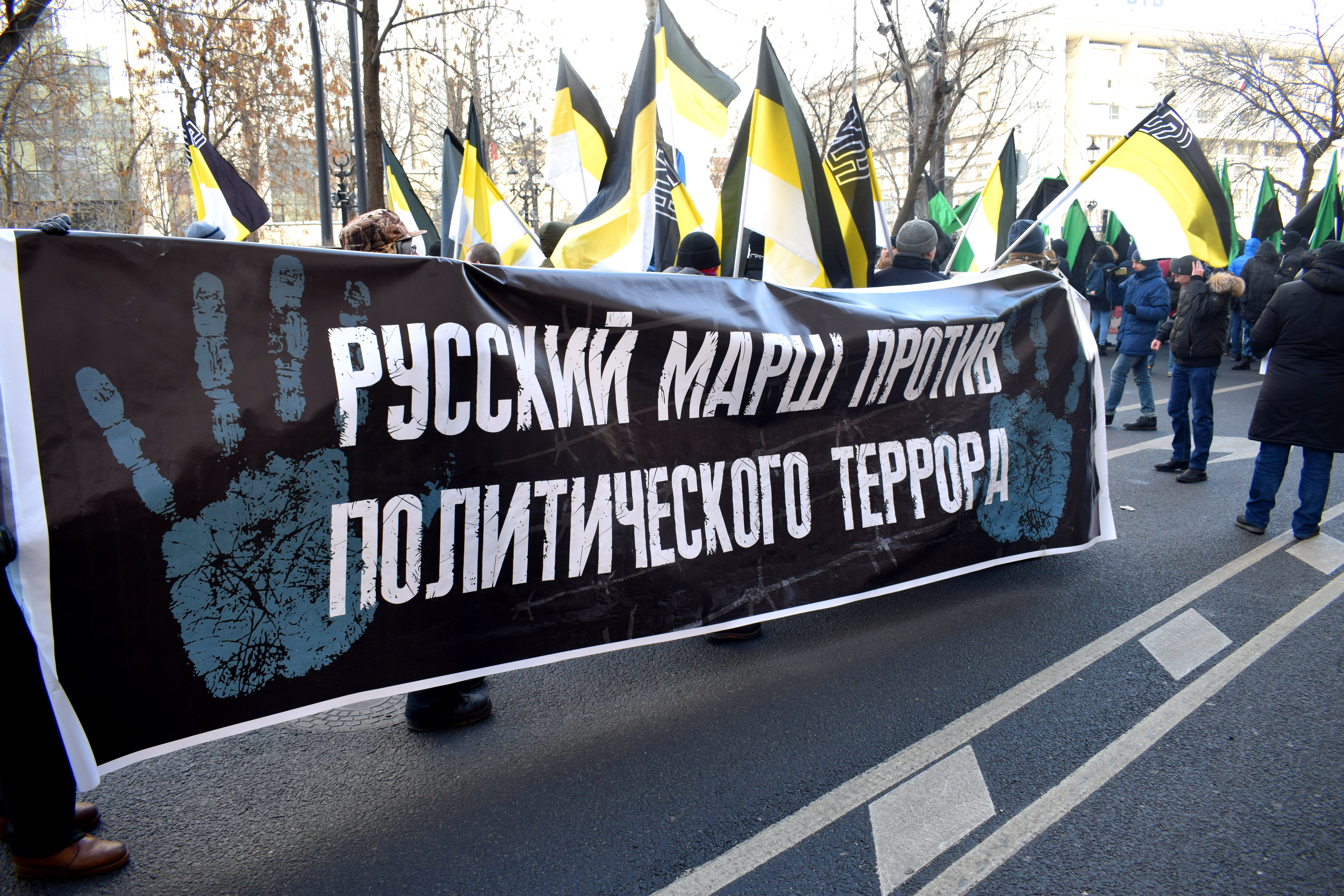 “The right sector opposes political repression.”
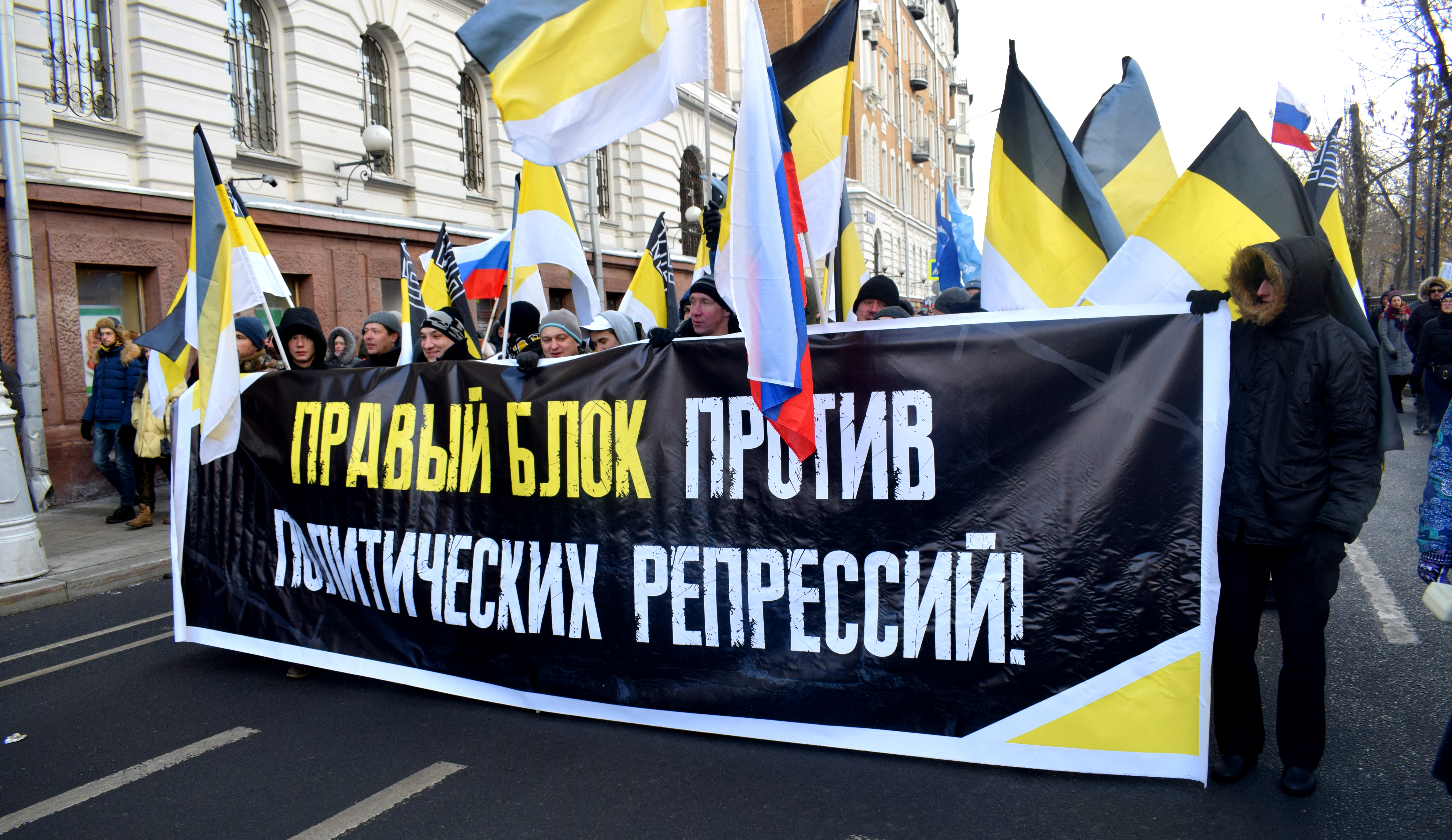 “We ourselves will build our motherland.”
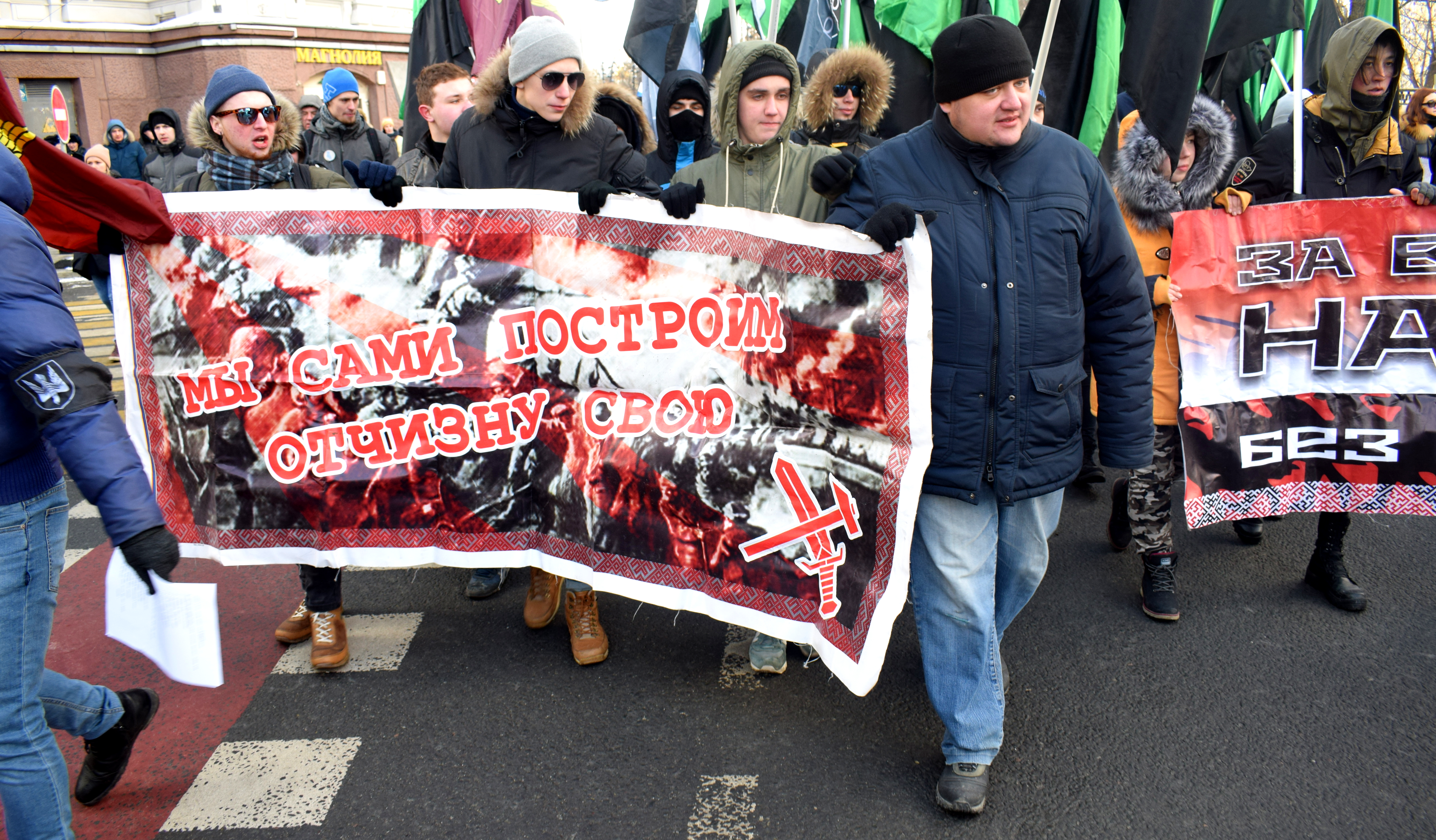 Approaching Sakharov Prospect where the majority of Russian marches and opposition meetings are held.
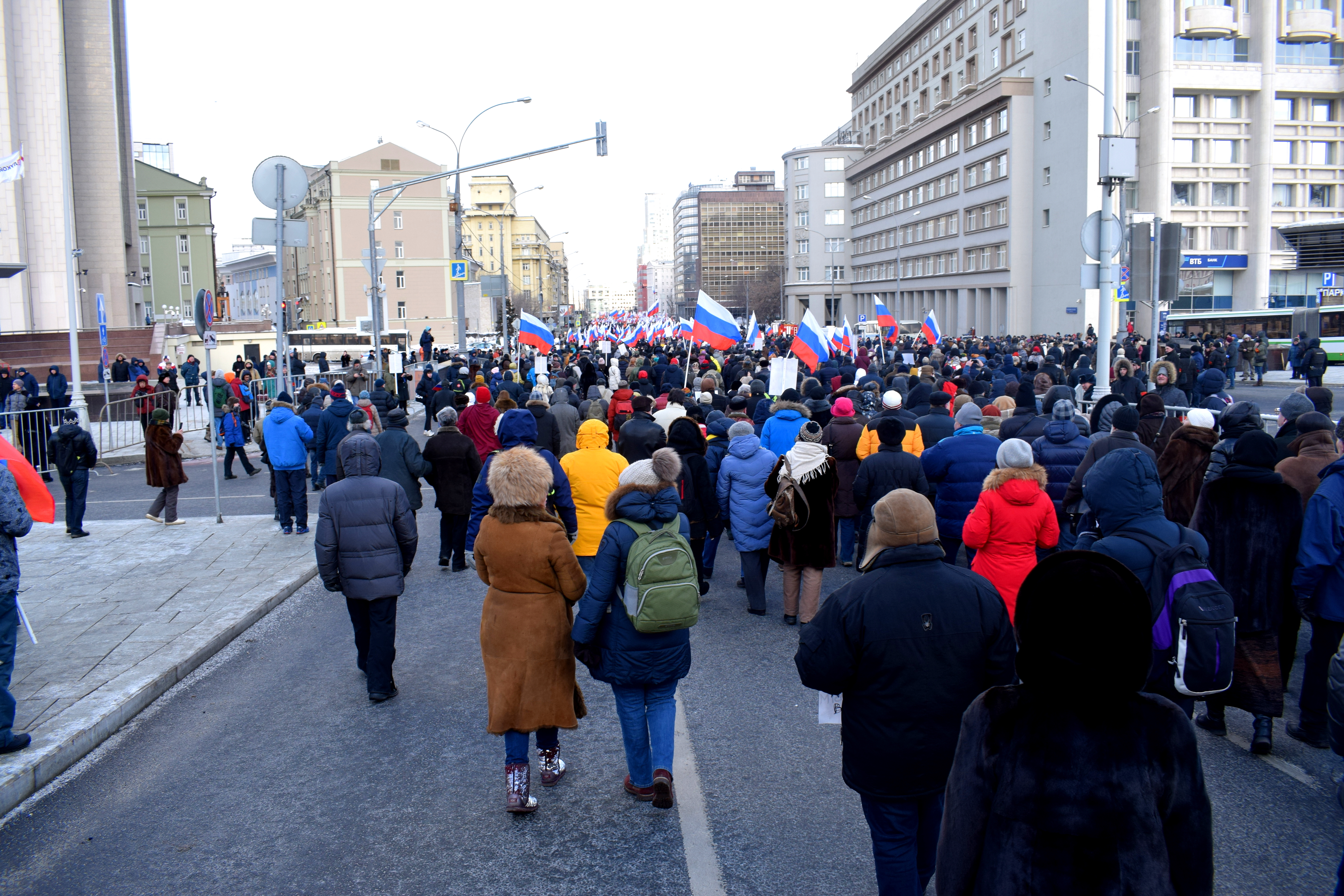
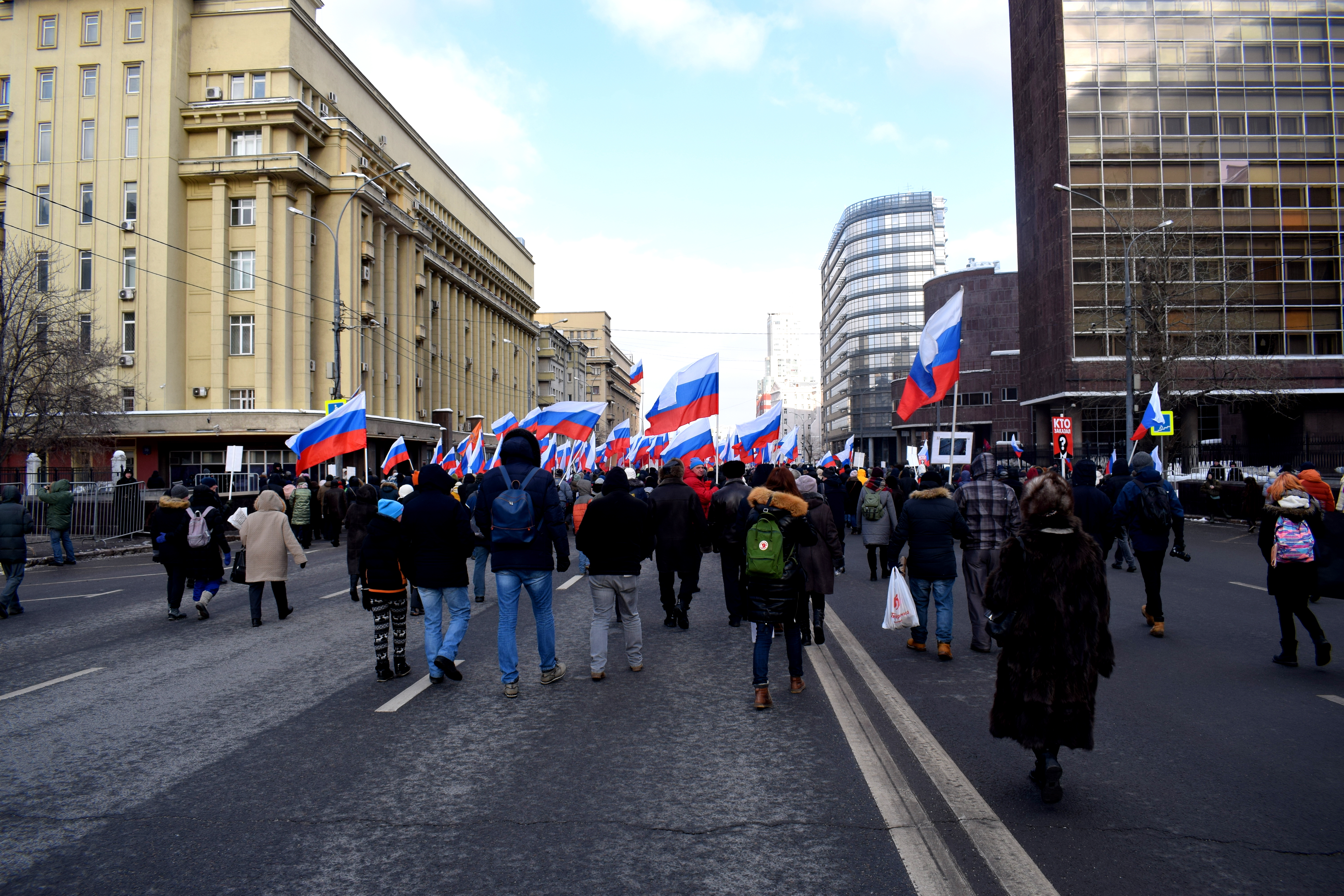 A balloon with Alexei Navalny’s logo on it surrounded by Russian flags. Alexei Navalny is Russia’s main opposition leader who has been banned from running for elections in March 2018 despite widespread popularity.
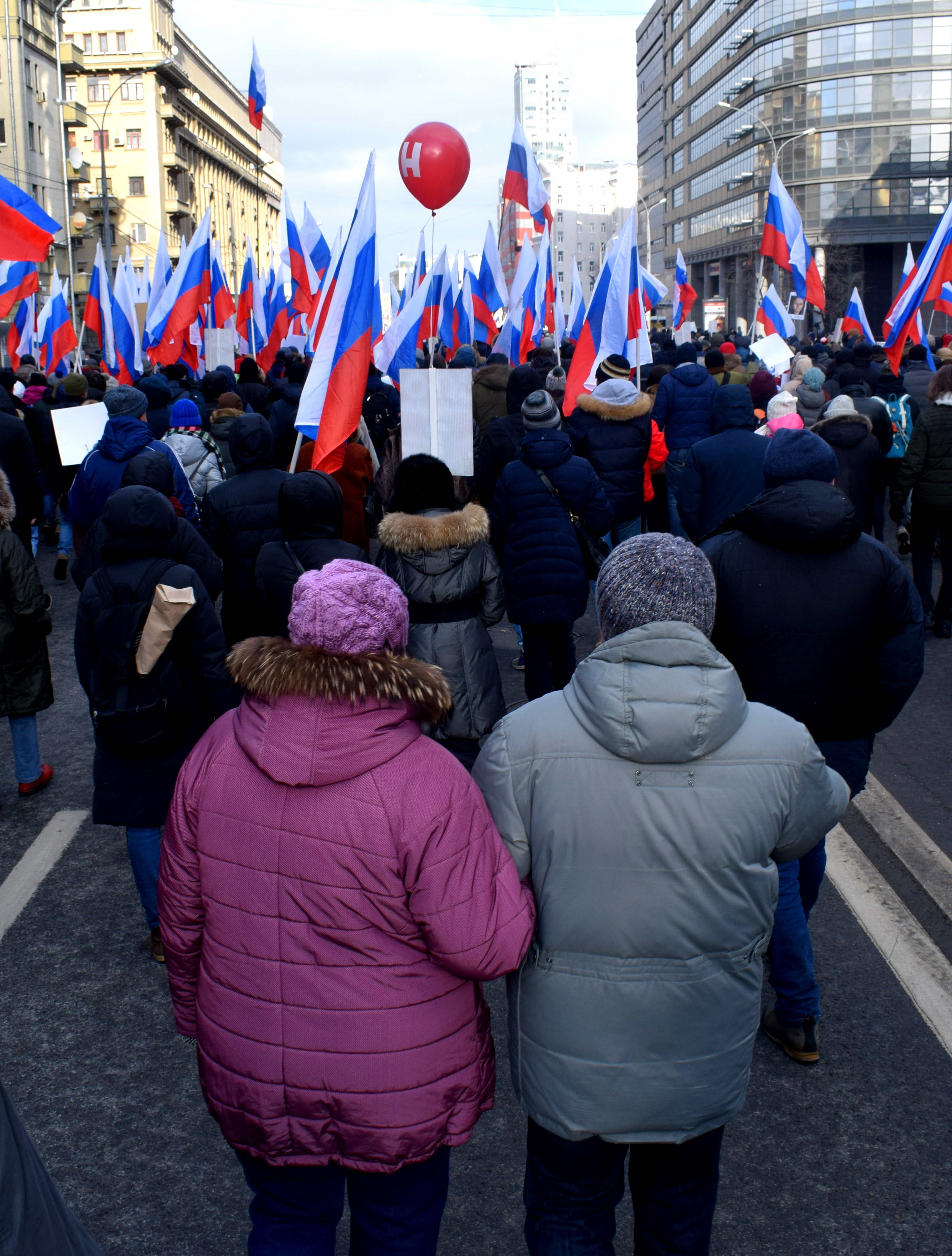 More Russian flags.
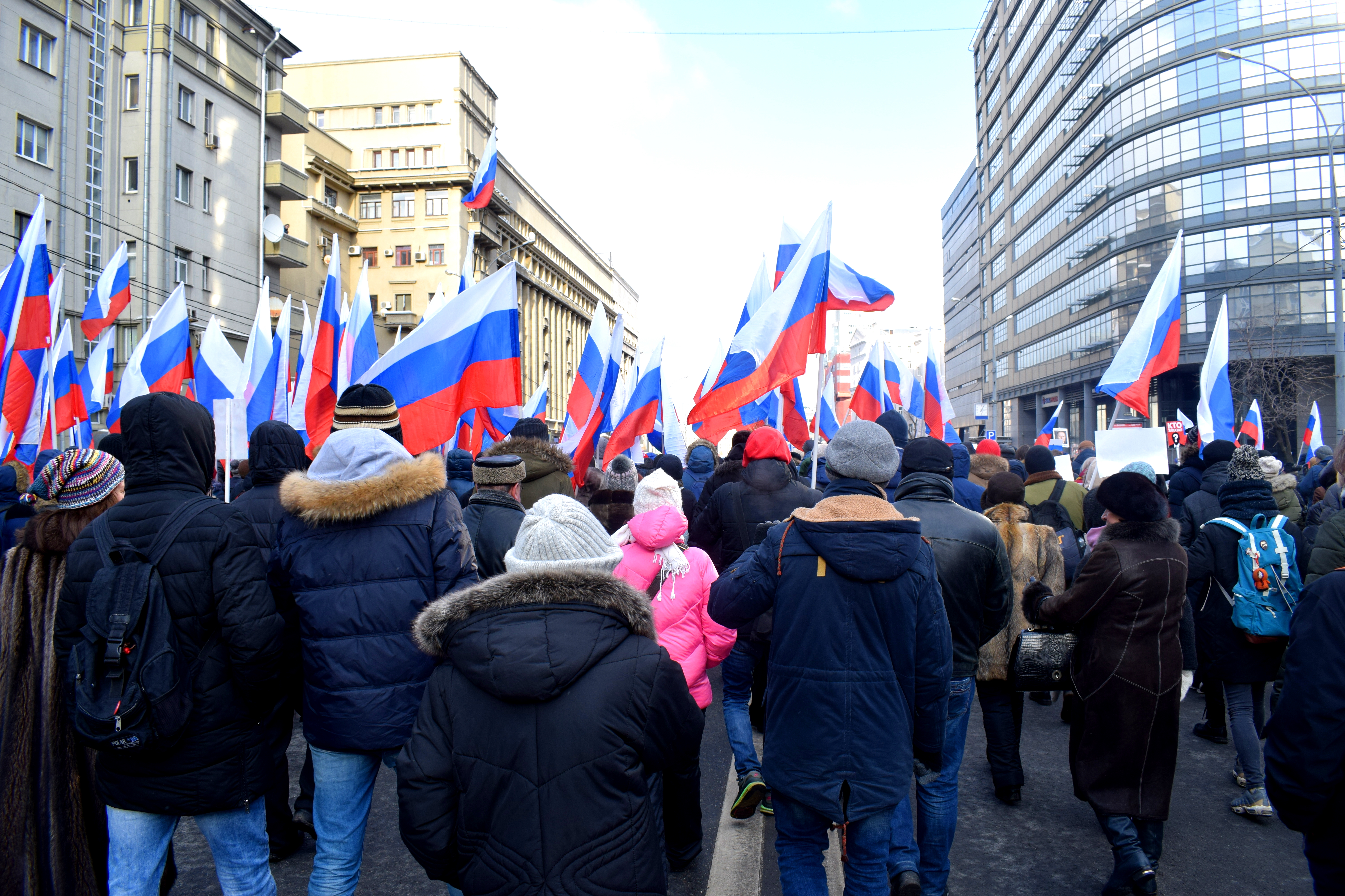
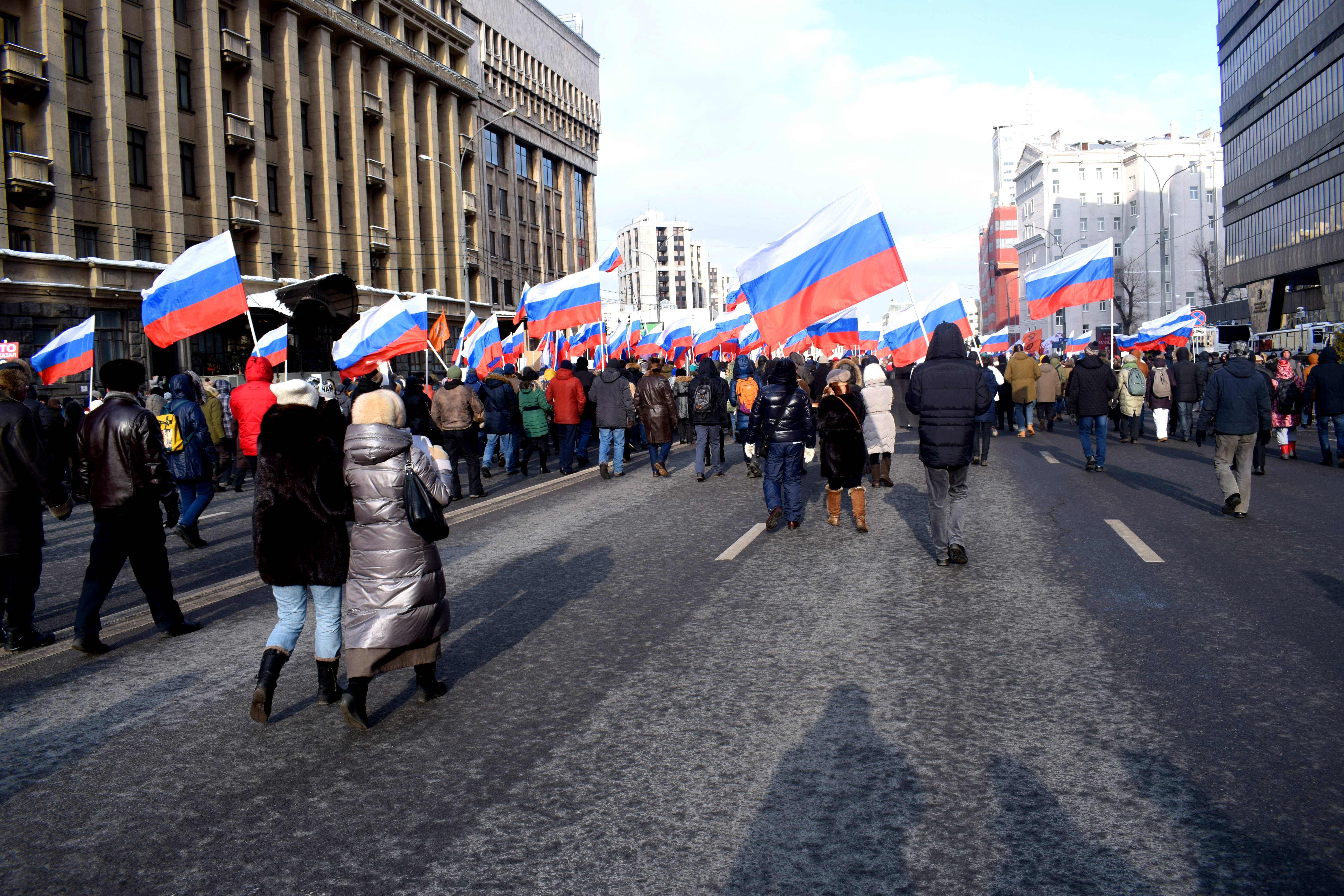
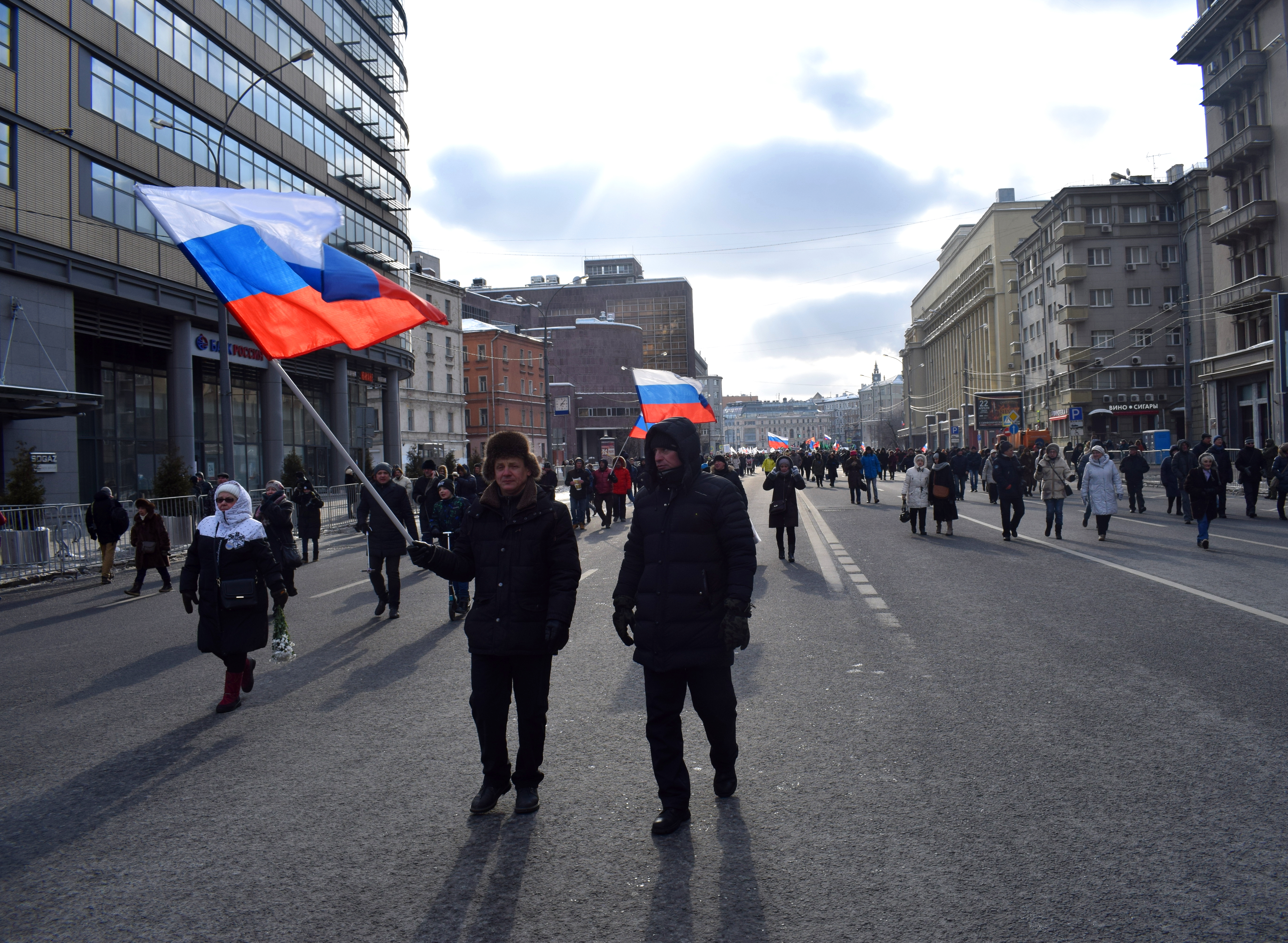 On the right there is a billboard that says ‘our choice.’ These billboards have popped up all over Moscow in recent weeks to encourage Russians to go to the polls and vote. Alexei Navalny, Russia’s most popular opposition leader, is calling for a boycott.
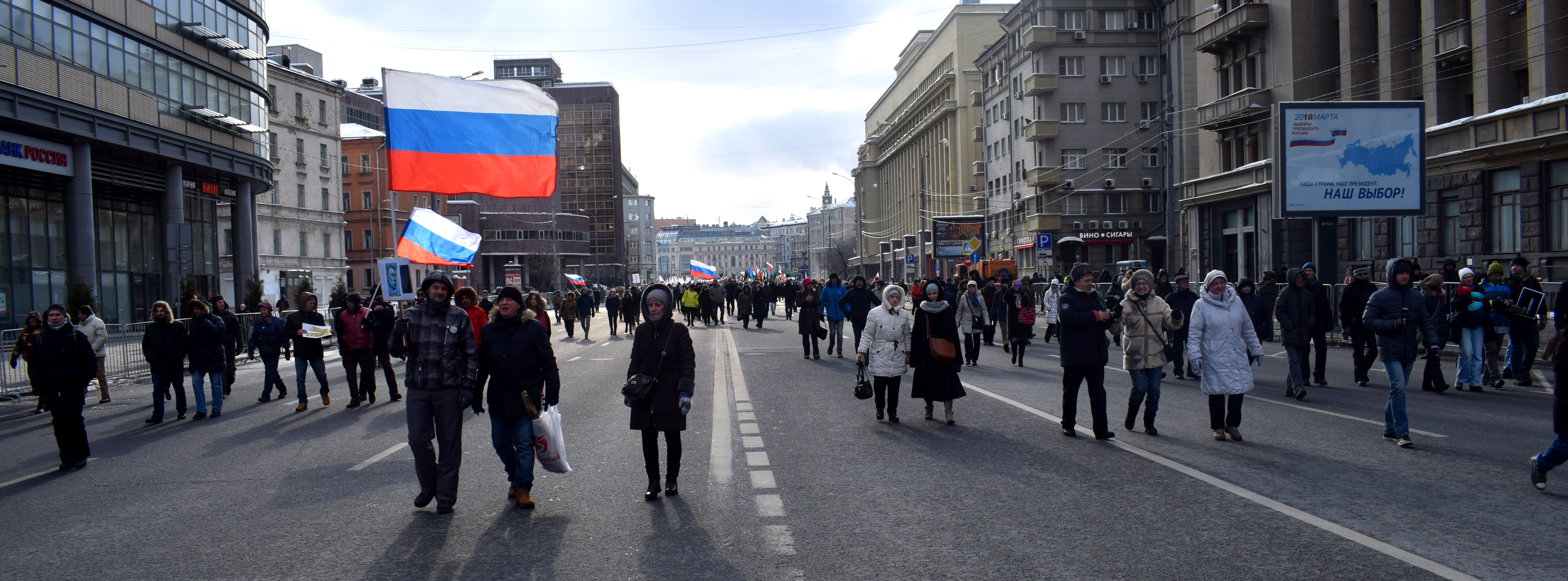 “In Russia there is a deficit of freedom, a deficit of justice.”
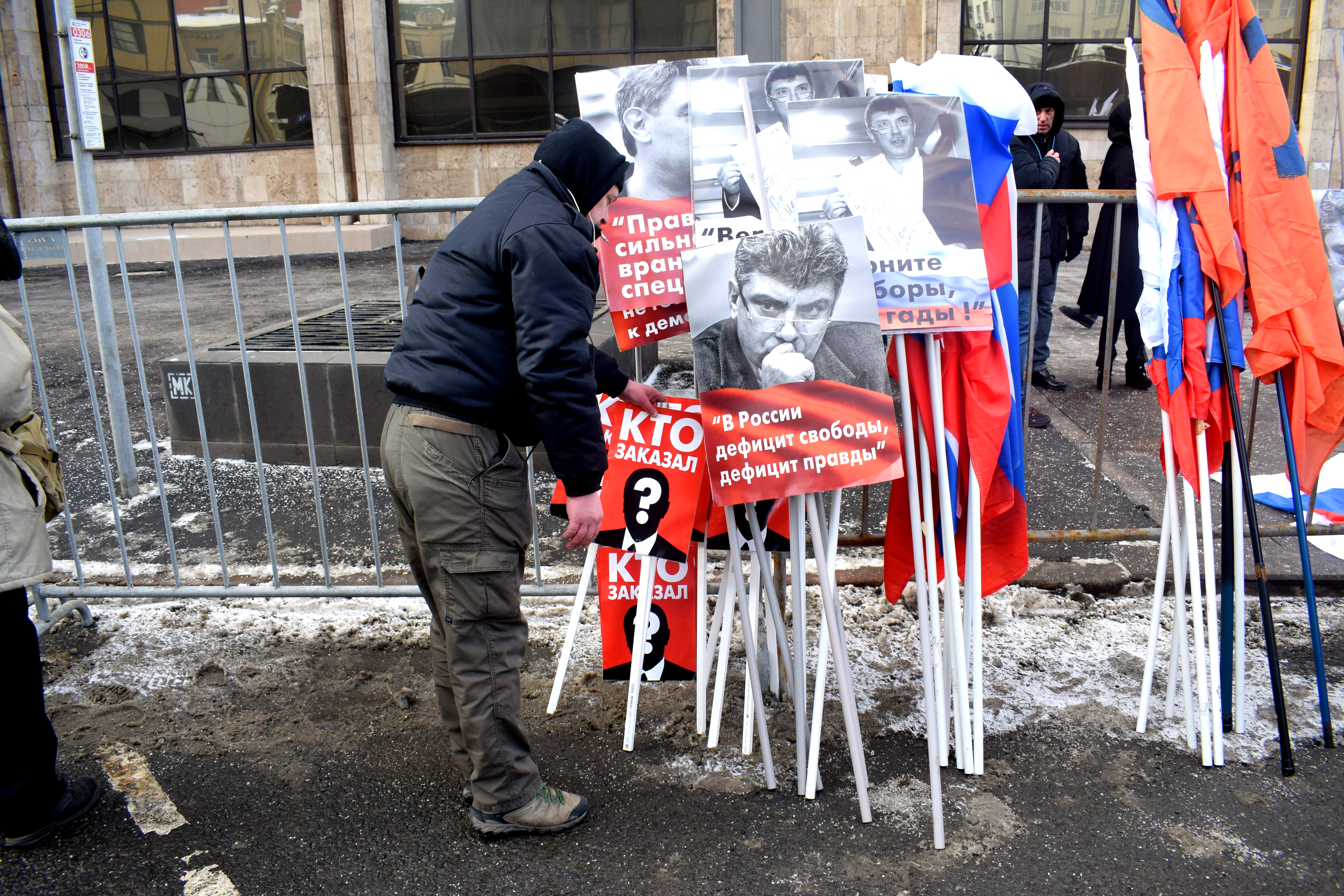 “The glorious descendants of honorable forefathers.”
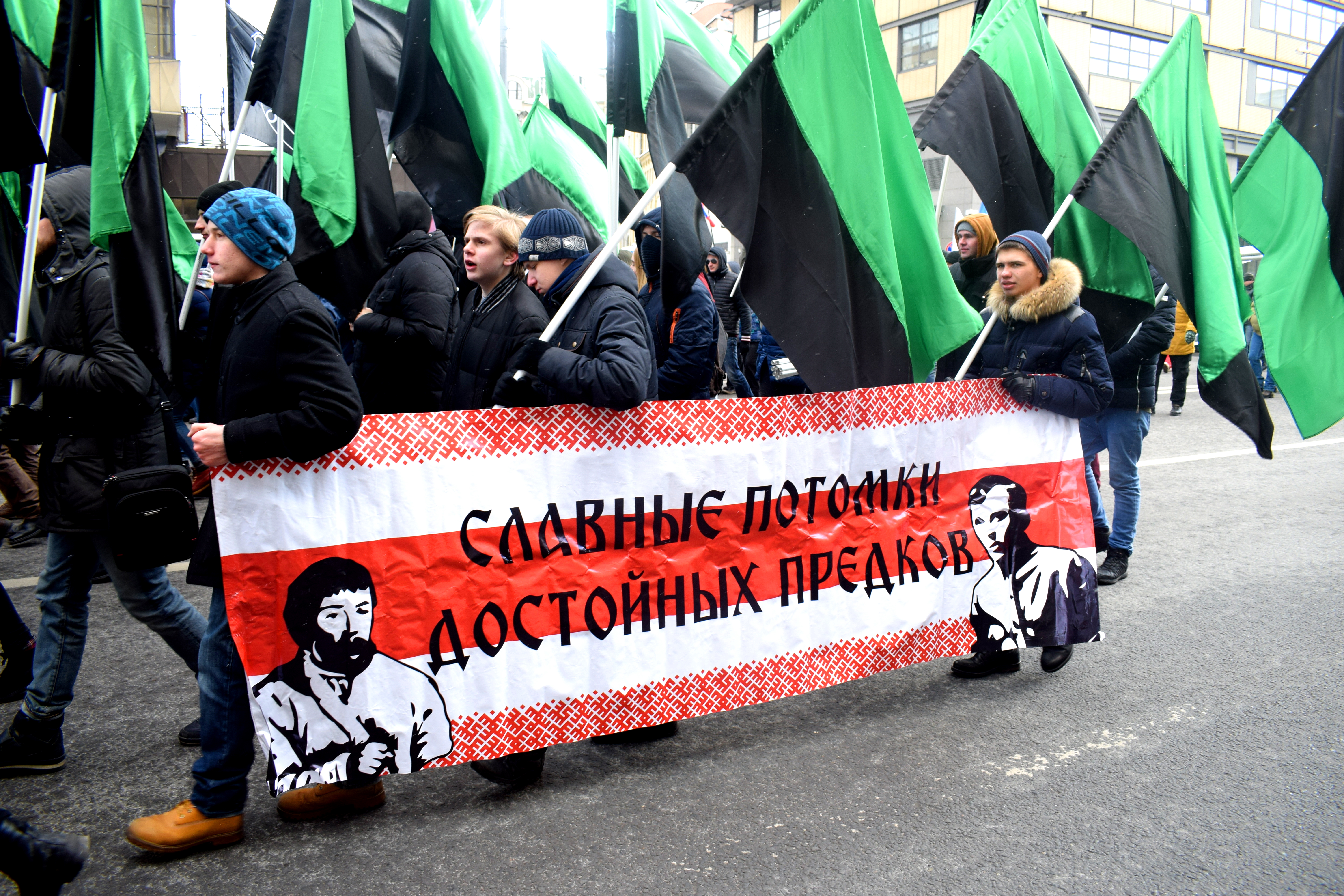 A reference to the American criminal film “Three Billboards Outside Ebbing, Missouri.” In the movie an angry mother rents out three billboards in the city to call attention to the unsolved murder of her daughter.
 “Propaganda kills”
 “Who ordered (it)?” While five Chechens have been found guilty for murdering Nemtsov, the man who ordered the killing has yet to be found.
 “Freedom to antifascists”
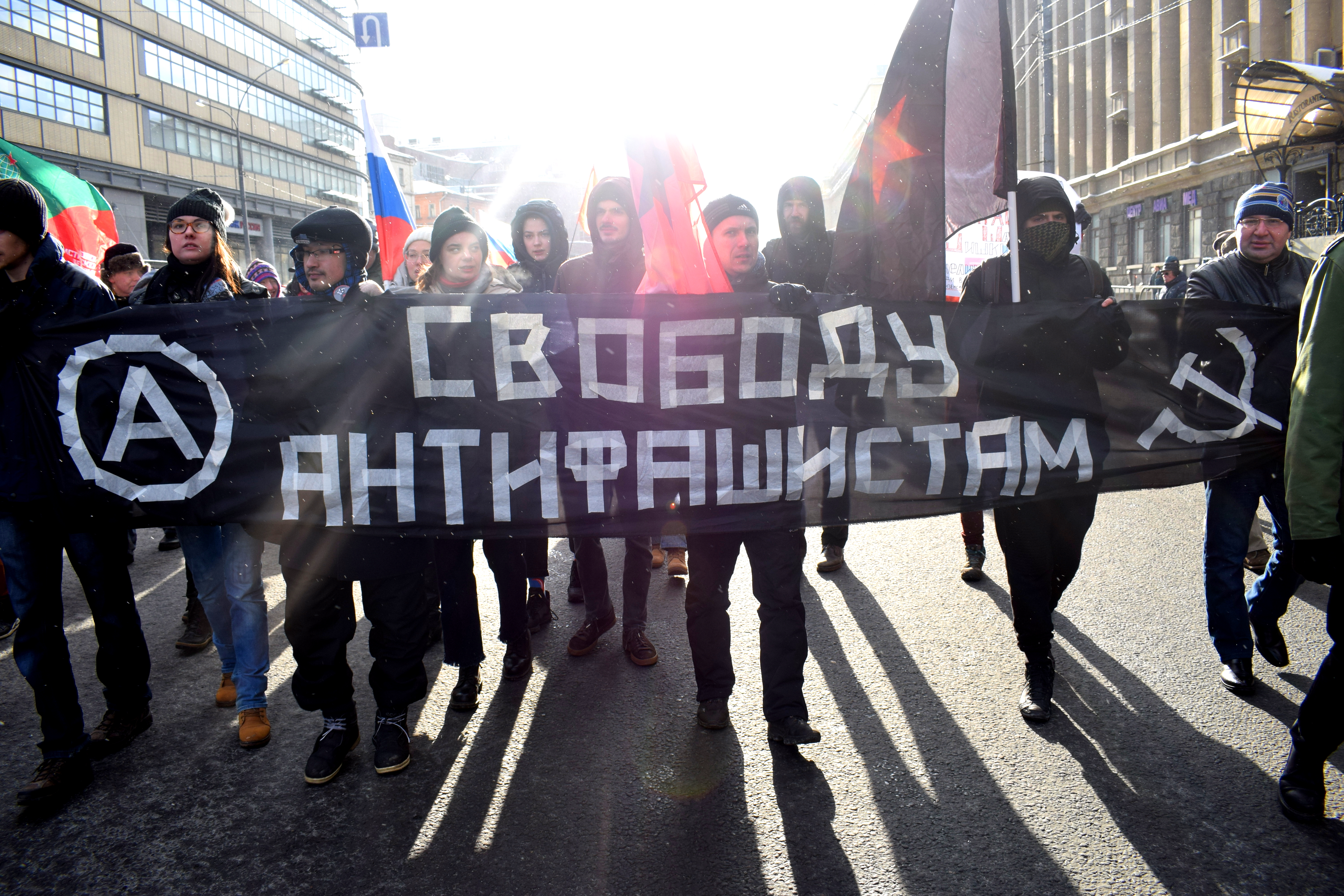 “Fight every day! Against persecution, repression and fabricated charges.”
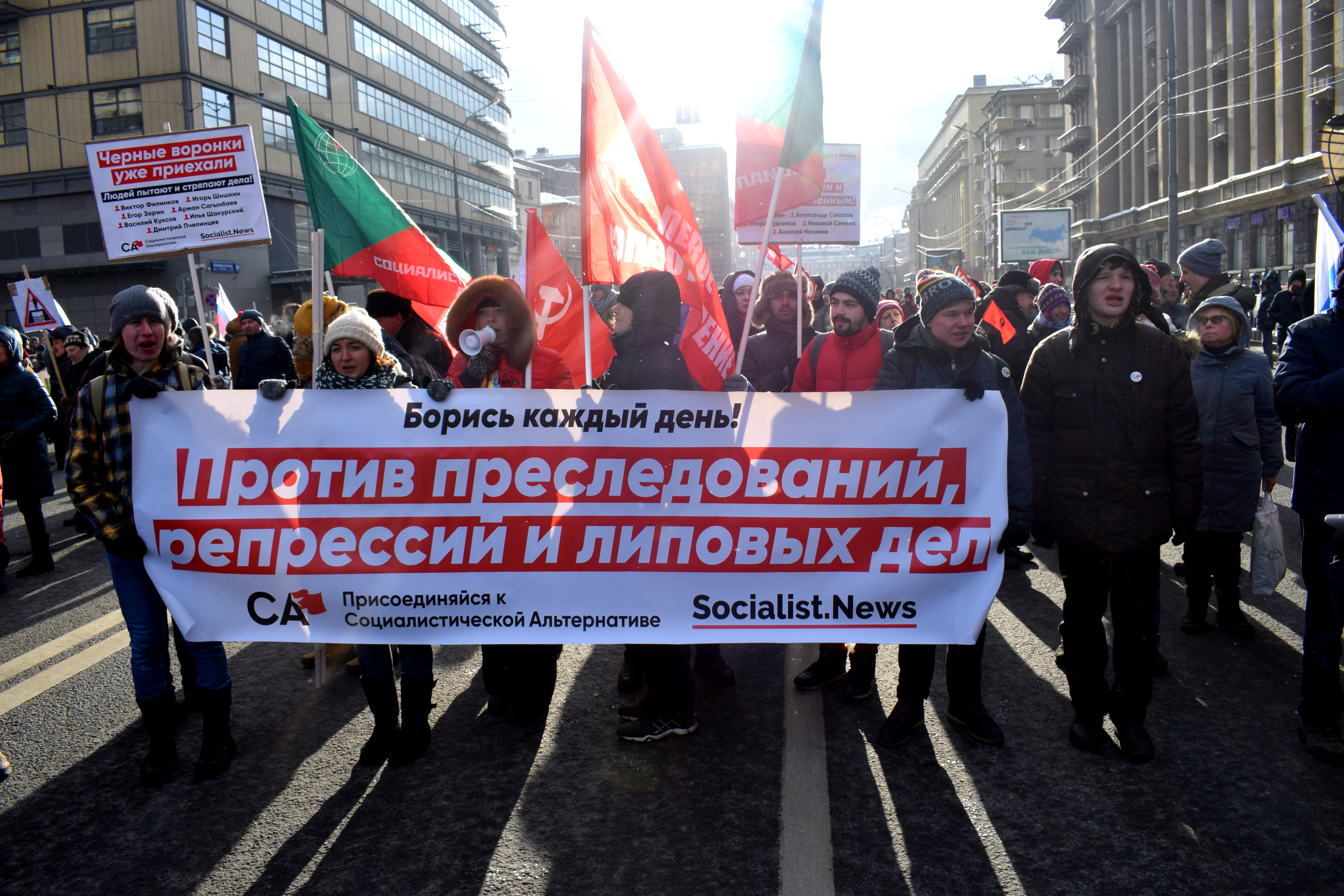 “I’m not afraid.”
 “For a Russia without Putin.”
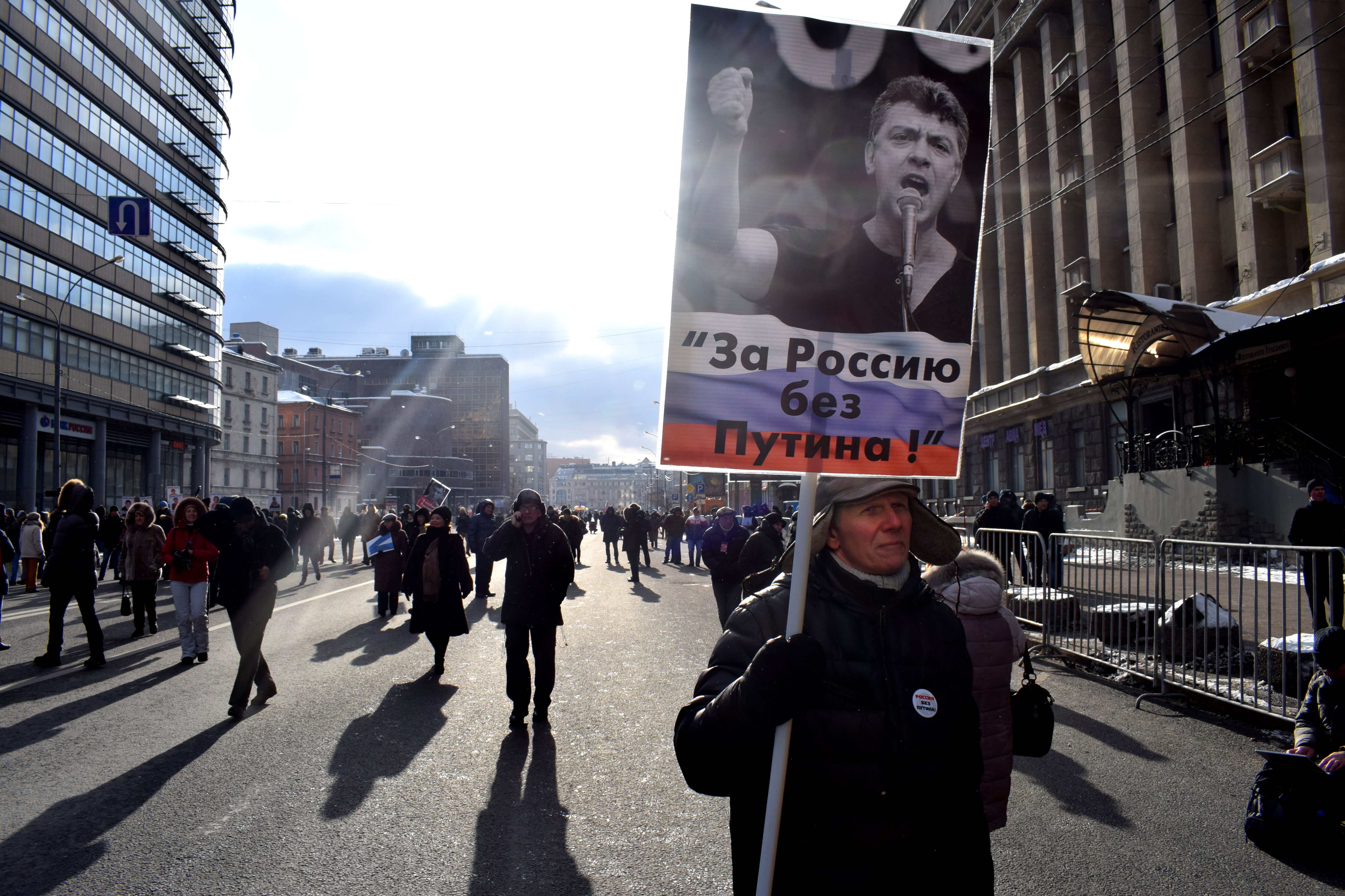 “I love Russia.”
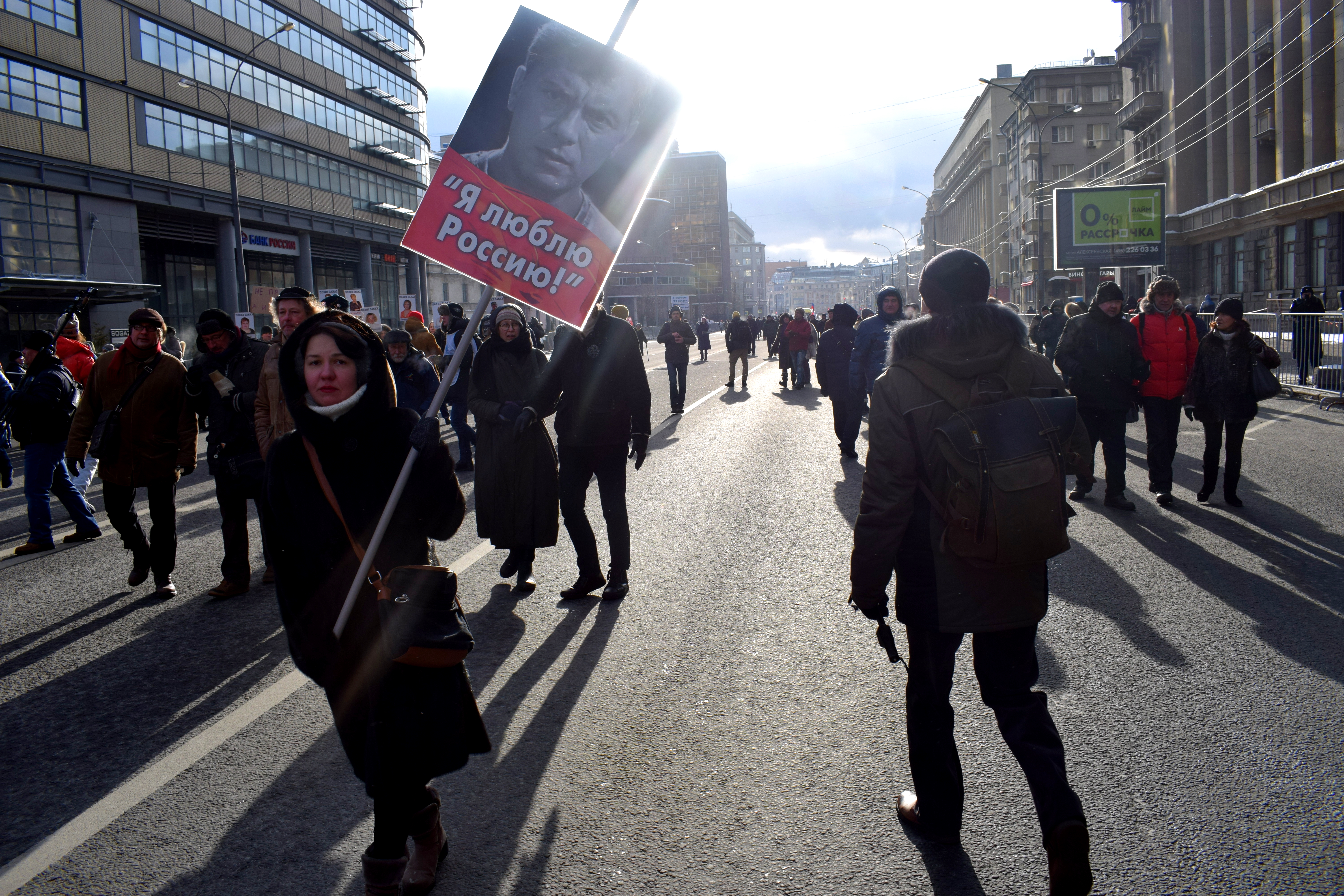 “Not simply a thief but also a killer.”
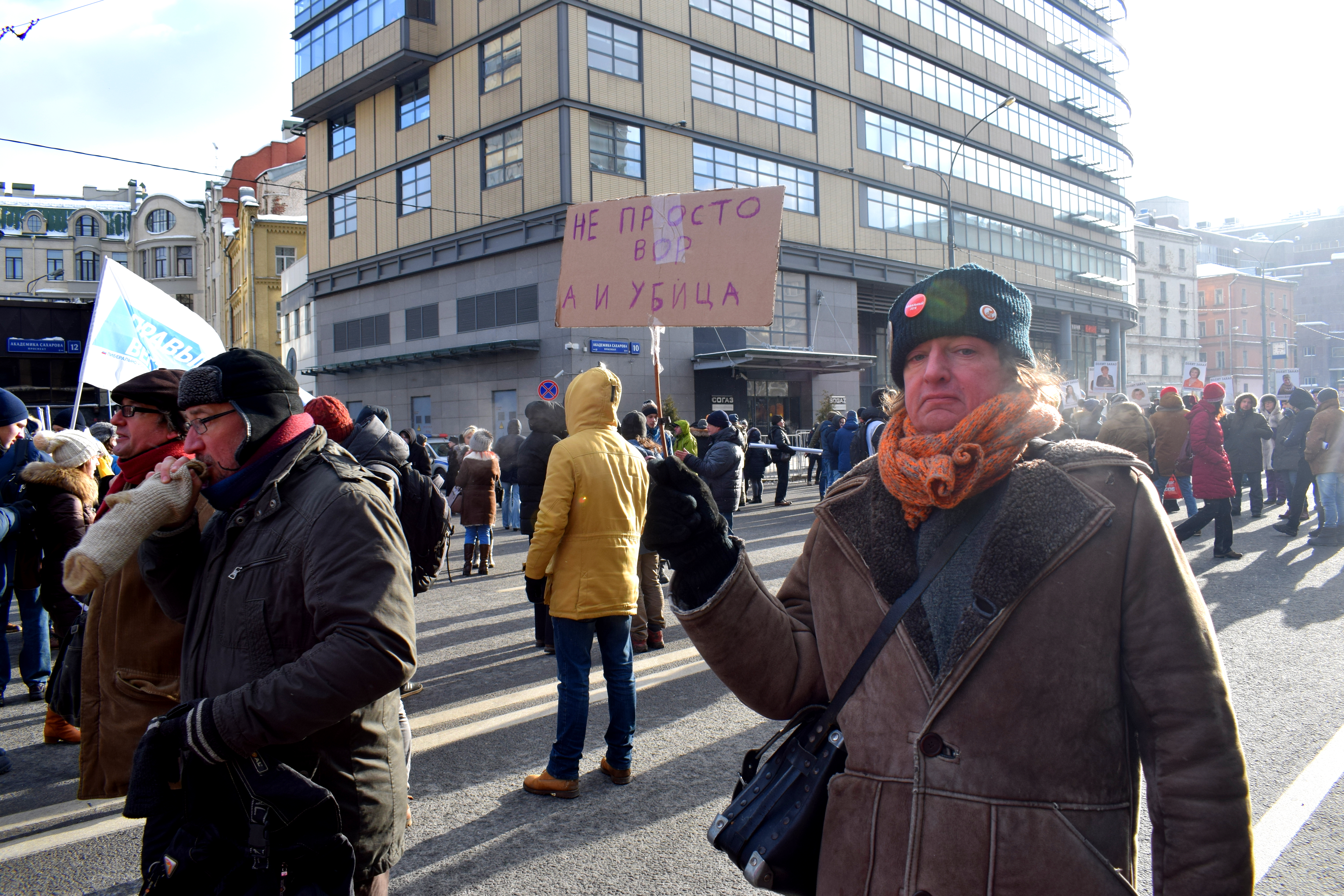 “Put him out.”
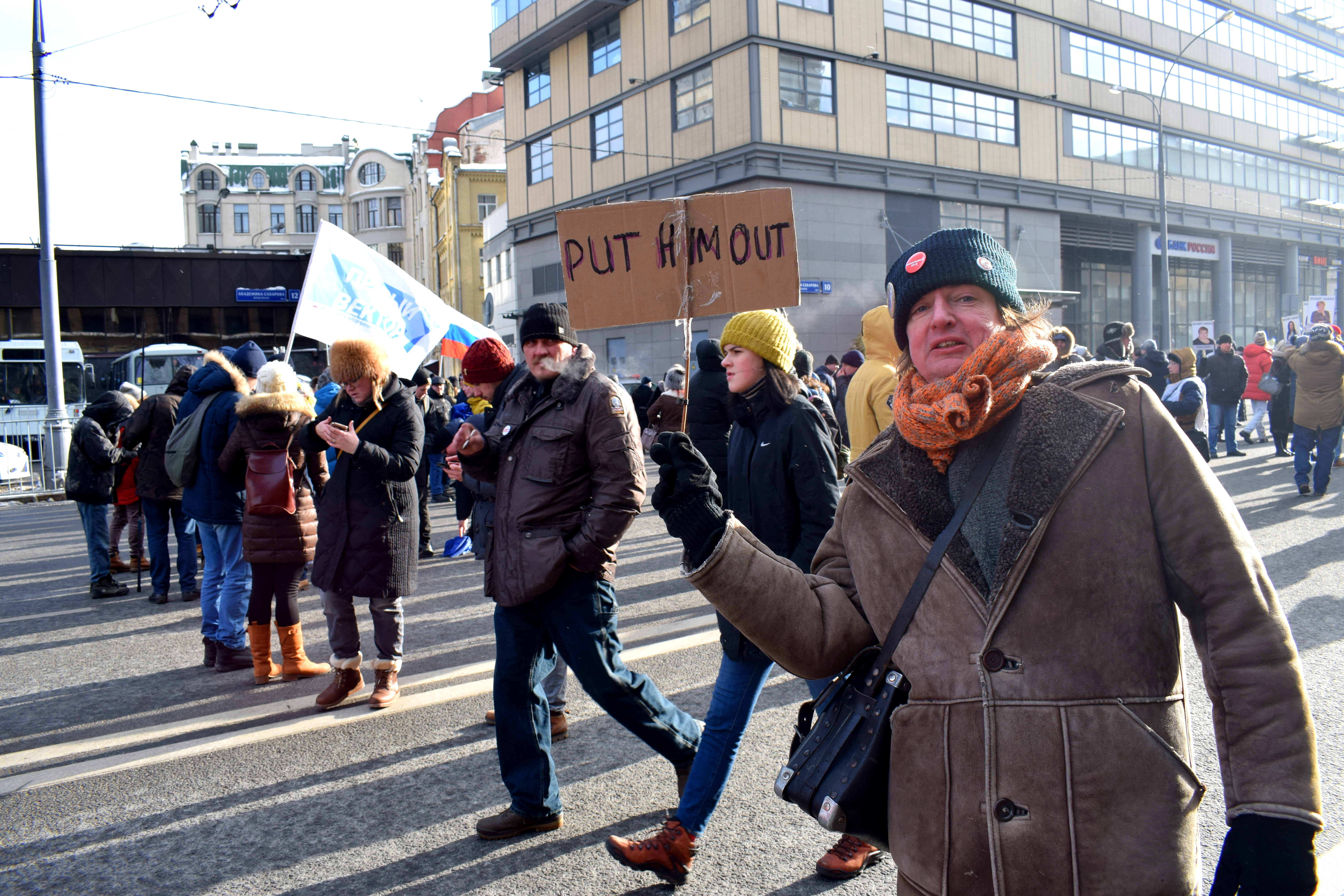 “You plant terror – you reap a tribunal.”
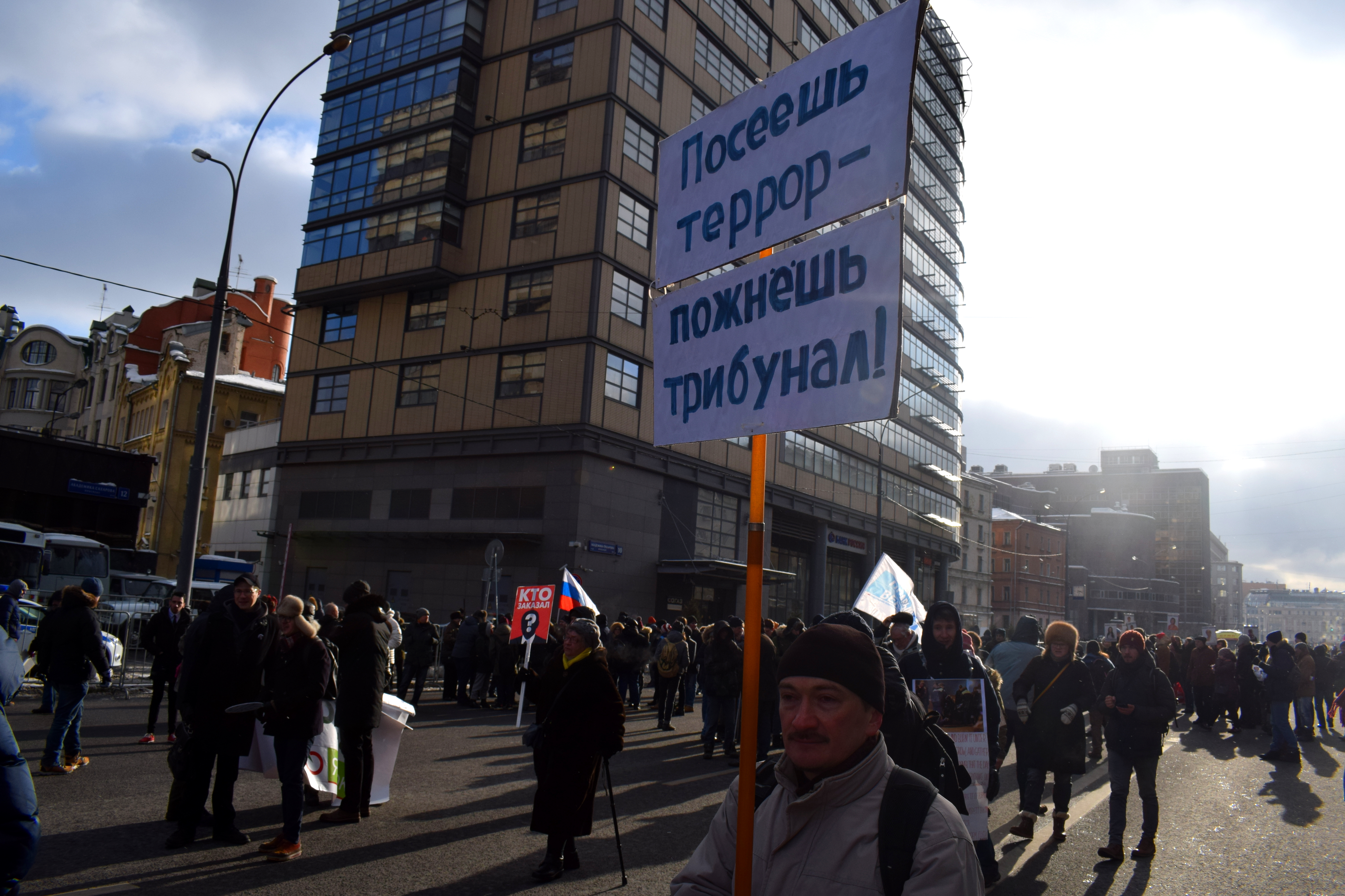 “Nemtsov Bridge”
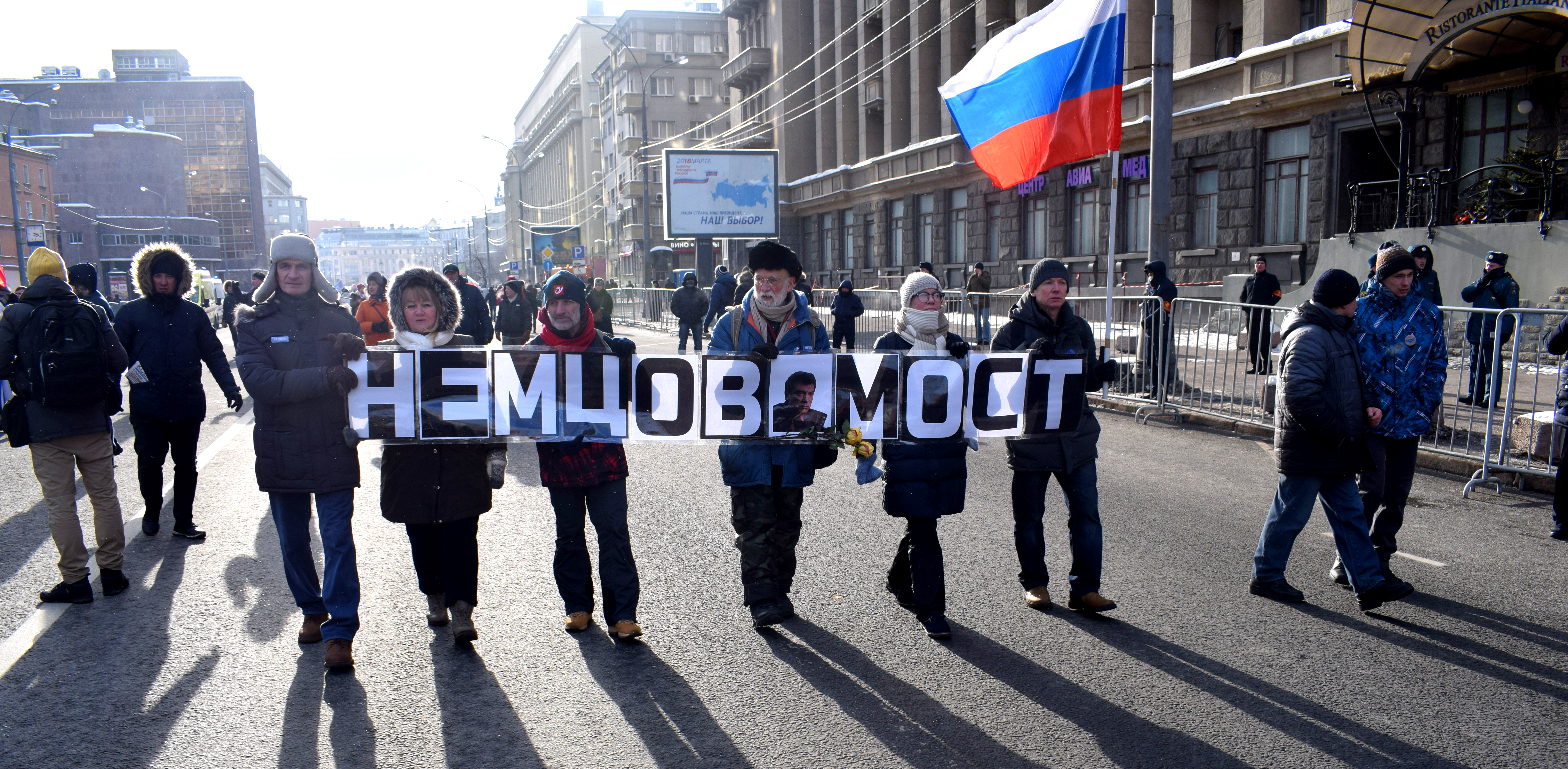 “Propaganda kills.”
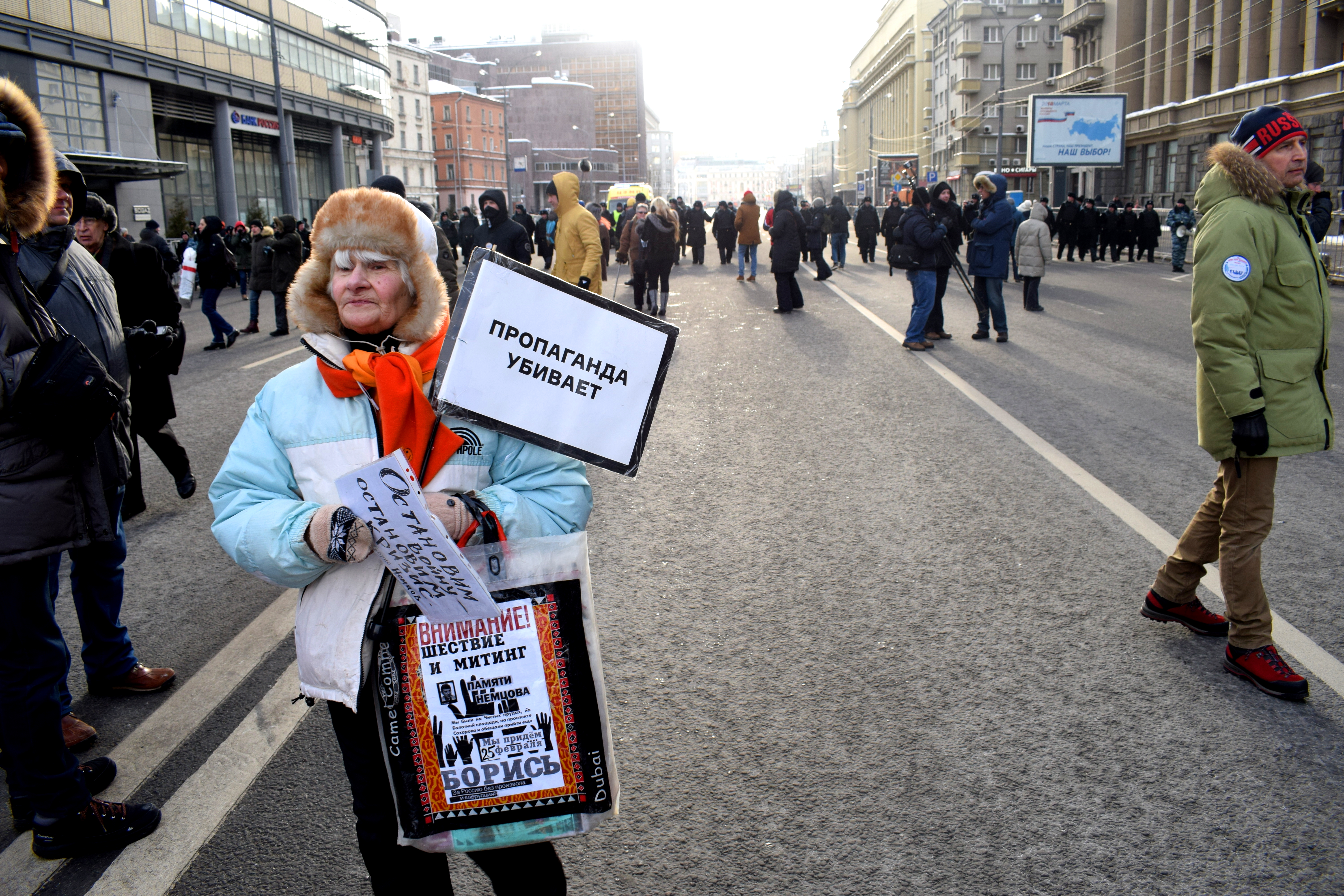 Police dispersing the crowd at the end of the march.
 Russians go to the polls on March 18th to elect a president. All independent polling suggests that Vladimir Putin is going to win. The most popular opposition figure Alexei Navalny has been barred from running, blacklisted from state media channels, and is calling for a boycott.
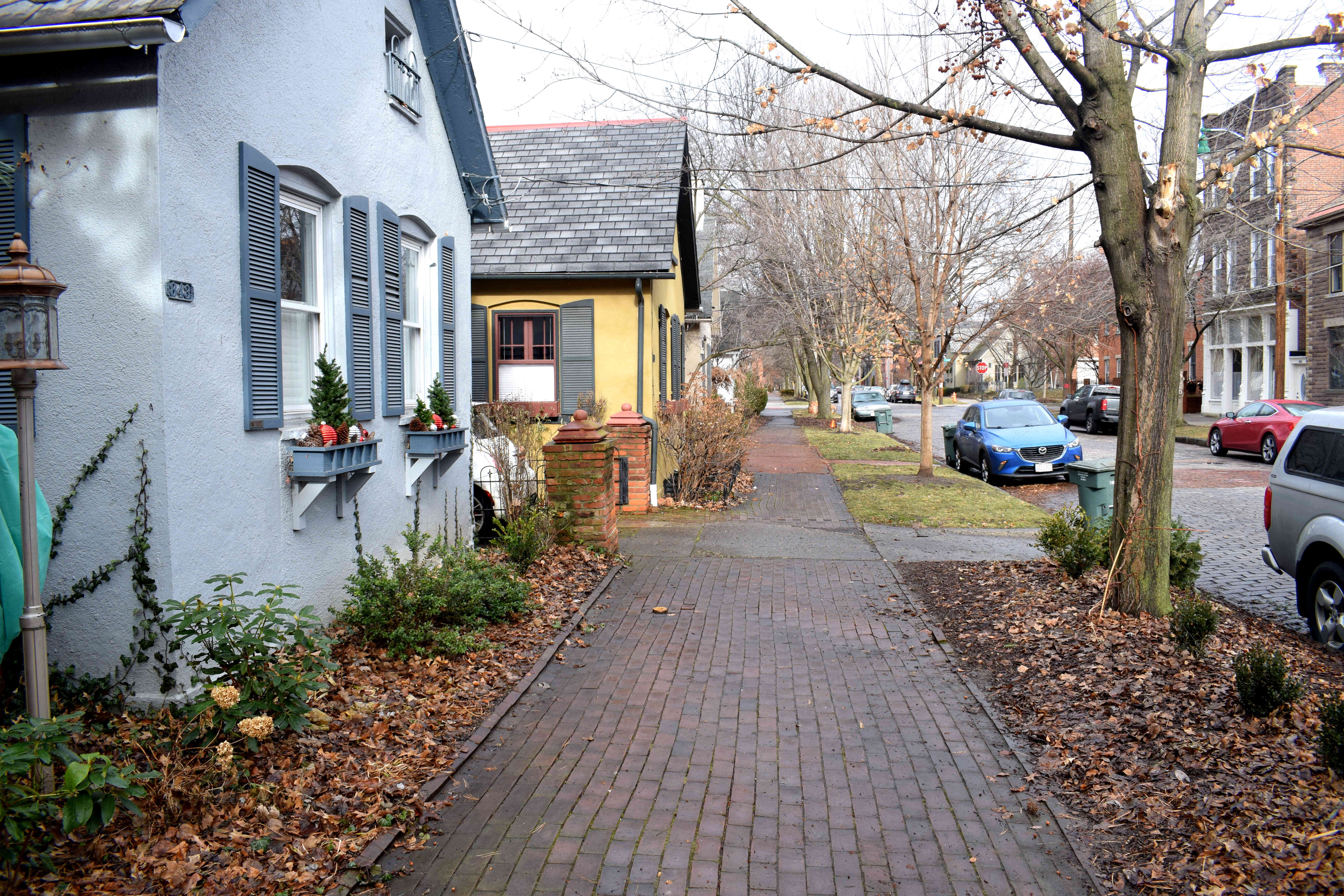 Located in the heart of downtown just across the Scioto River, German Village is a historic neighborhood settled by German immigrants in the early 19th century. The neighborhood retained its small-house, German style architecture all the way into the early 20th century.
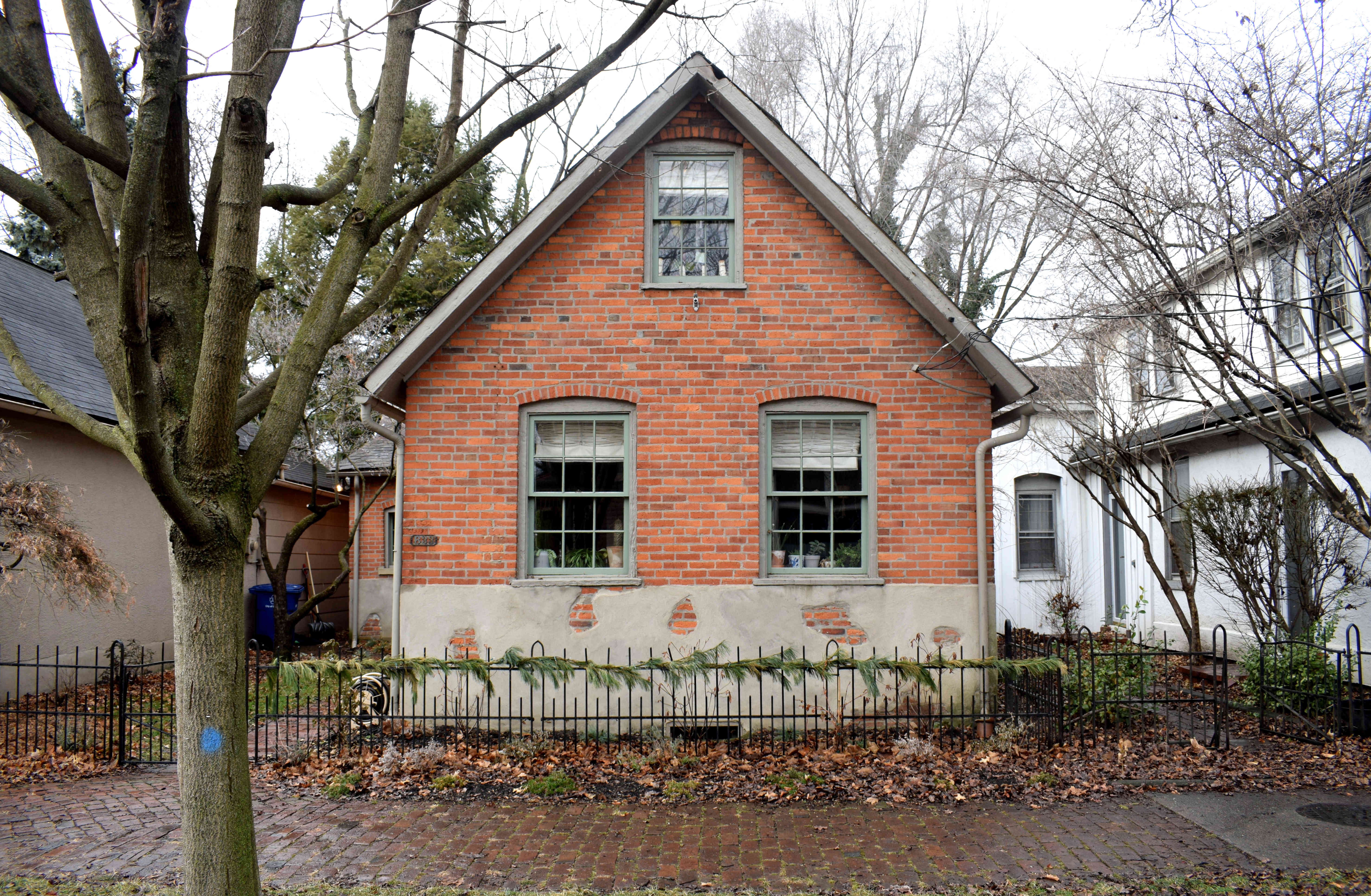 However, anti-German sentiment in WWI, along with plans to reconstruct American cities in the 1940s and 1950s by clearing slums, caused the destruction of one-third of the neighborhood. The village was slated for complete destruction following WWII, but activist citizens in the 1960’s managed to set up the German Village Commission and lobbied to save the neighborhood.
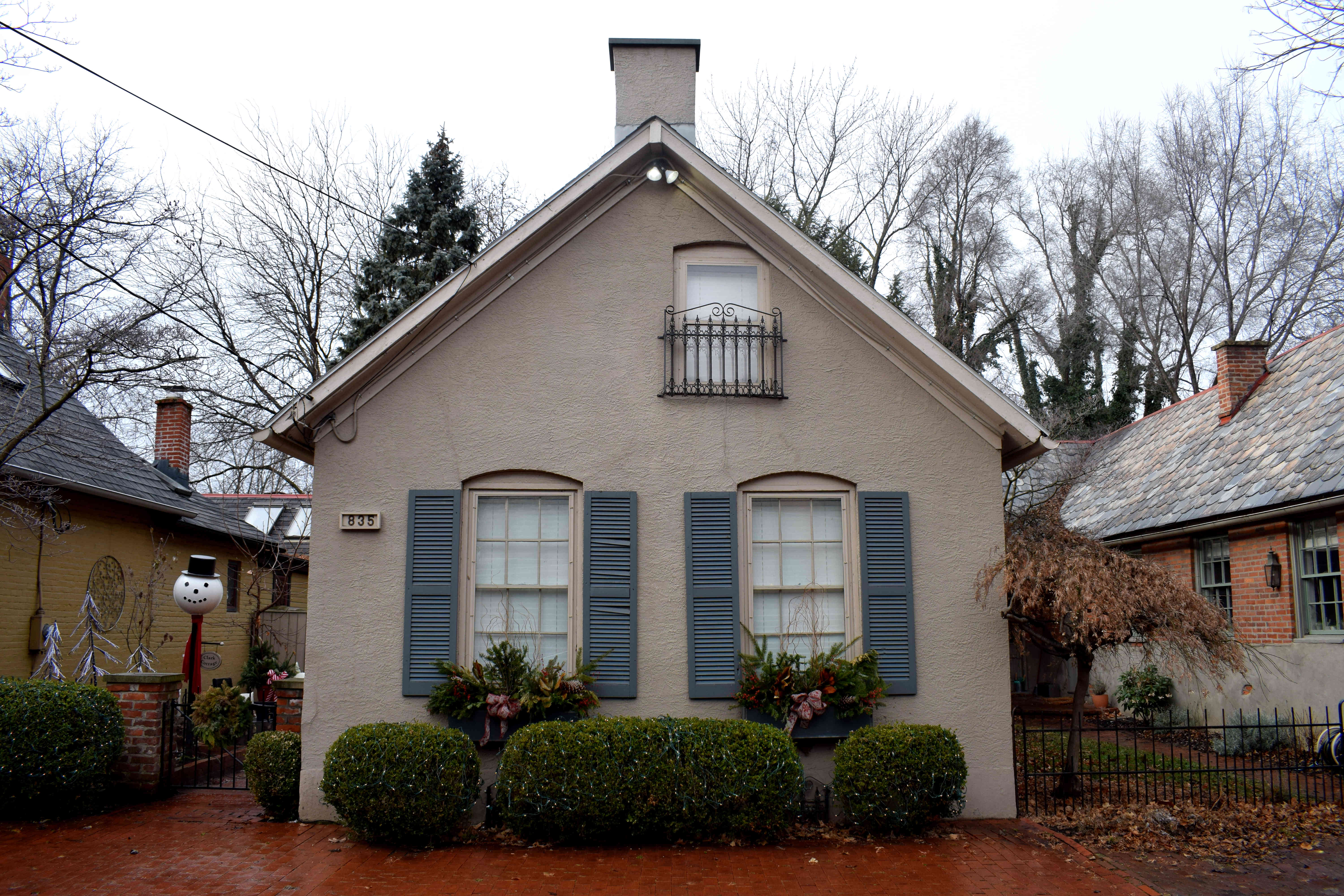 Most of the houses in German Village are one or two stories high that retain their historic appearance to this day.
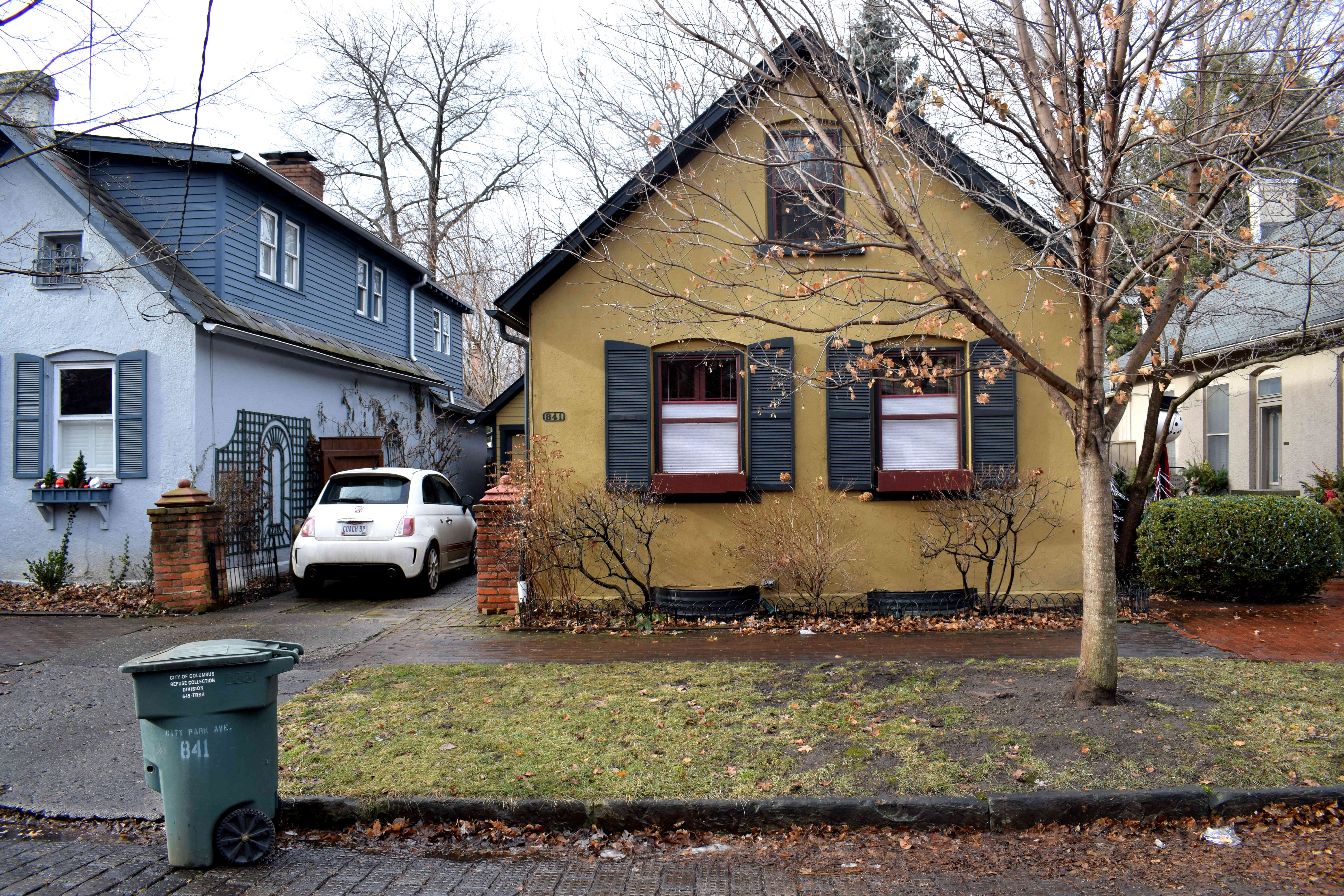 Occasionally a larger home will pop up.
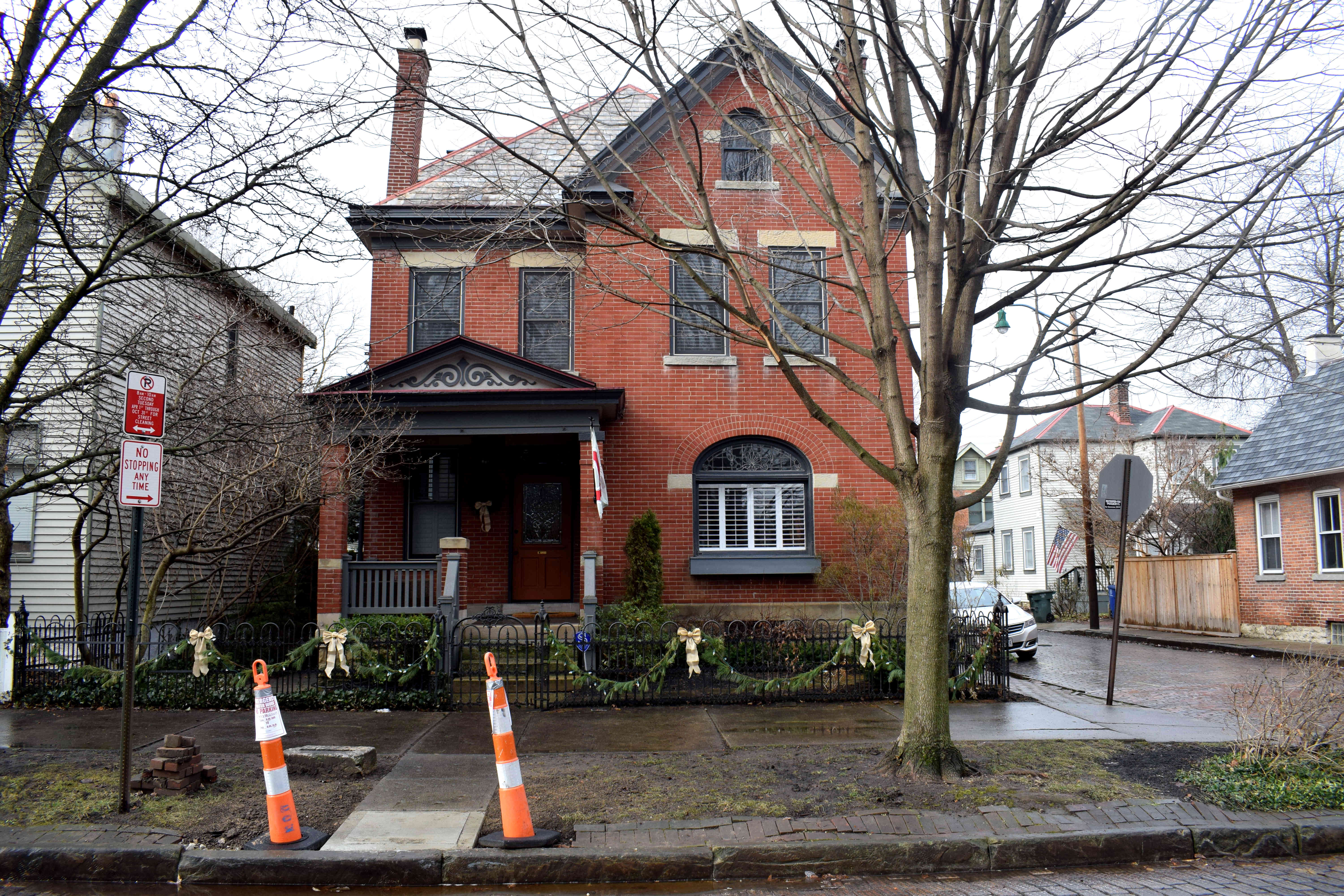 Cobble-stoned streets abound.
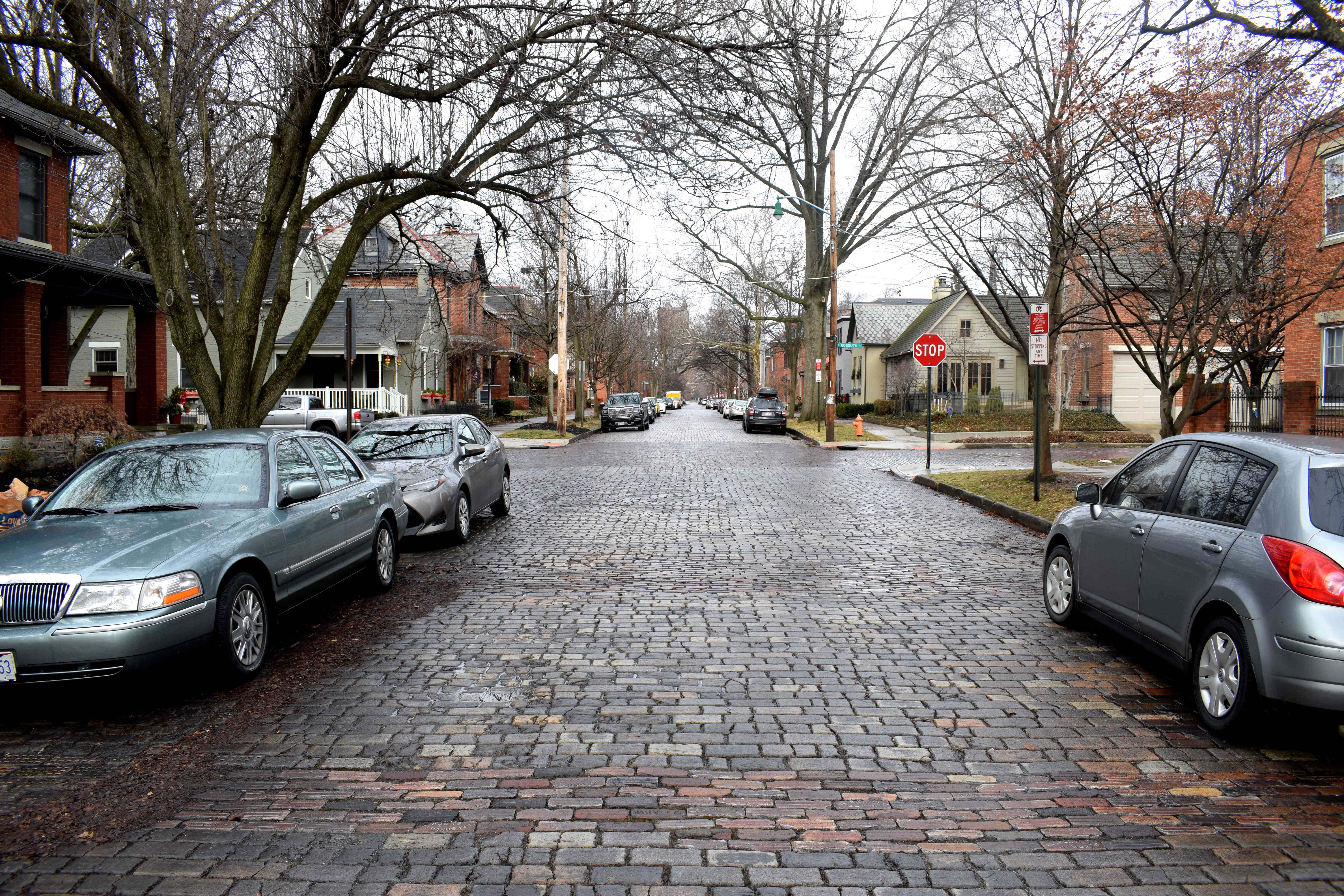 The story of German Village shows just how much of a threat developers are to cities.
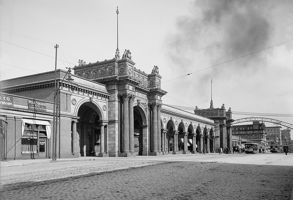
 Now I’m no expert, but maybe, just maybe, the city could have held off on destroying one of its most beautiful buildings to construct this.
 Heading toward downtown from German Village takes you past Genoa Park, part of the larger Scioto Mile the city developed to connect Columbus to the Scioto River.
 Conceived in the early 2000s, the Scioto Mile is the city’s plan to reconnect Columbus with the Scioto River that runs through Columbus. Before construction began in 2008, the river was cut off from the city by a five-lane highway that followed its path.
 Now that same five-lane highway is a public park. There are trees, jogging and cycling tracks, picnic tables, playgrounds and more. It was a rainy, January day when these photos were taken, but in the summer the park fills up with people.
 The Scioto Mile is a successful example of a city reclaiming its urban space from cars and handing it back to pedestrians. Across the United States, cities have started to dismantle highways that were built in the 1970s that ran through their downtowns and replace them with public spaces. Columbus is following this trend.
 At the time it was built in 1924 it was
  And in front of City Hall is a statue to Christopher Columbus.
 The statue was transported by boat to Columbus, Ohio all the way from Genoa, Italy in 1955. Christopher Columbus grew up in Genoa before setting off from Spain on his voyage to cross the Atlantic in 1492 and discover America. This statue served as a gift from the city of his birth to the city of his name.
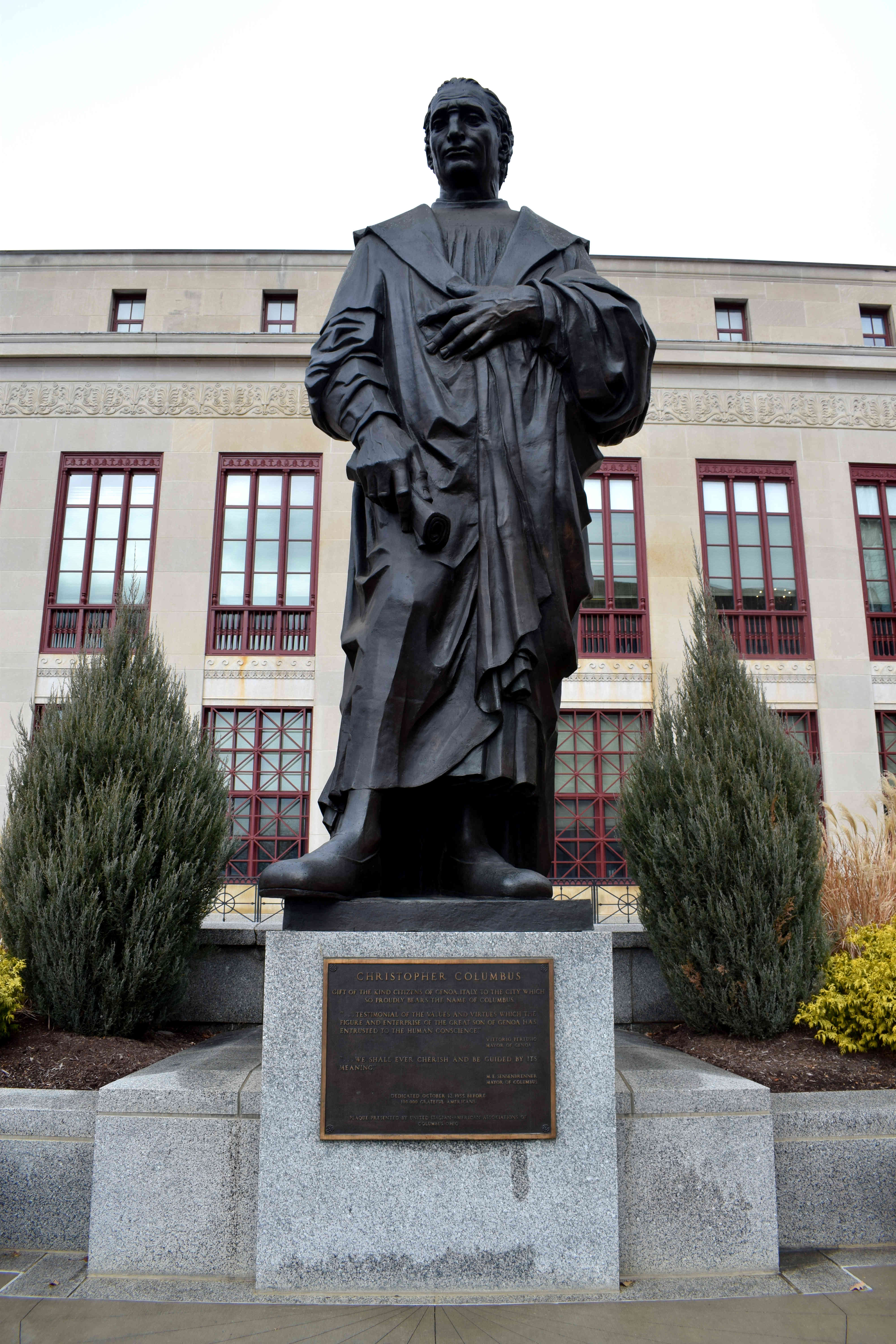 It was an impressive statue when I visited in 2018, but unfortunately it’s gone now. In recent years protests have broken out in the United States over racial issues, culminating in the Black Lives Matter movement. When the protests hit Columbus, they demanded the statue be removed owing to his racist legacy toward Native Americans. There were even demands to rename Columbus to something else in order to erase any association with Christopher Columbus. In July 2020, the city caved in and took down the statue.
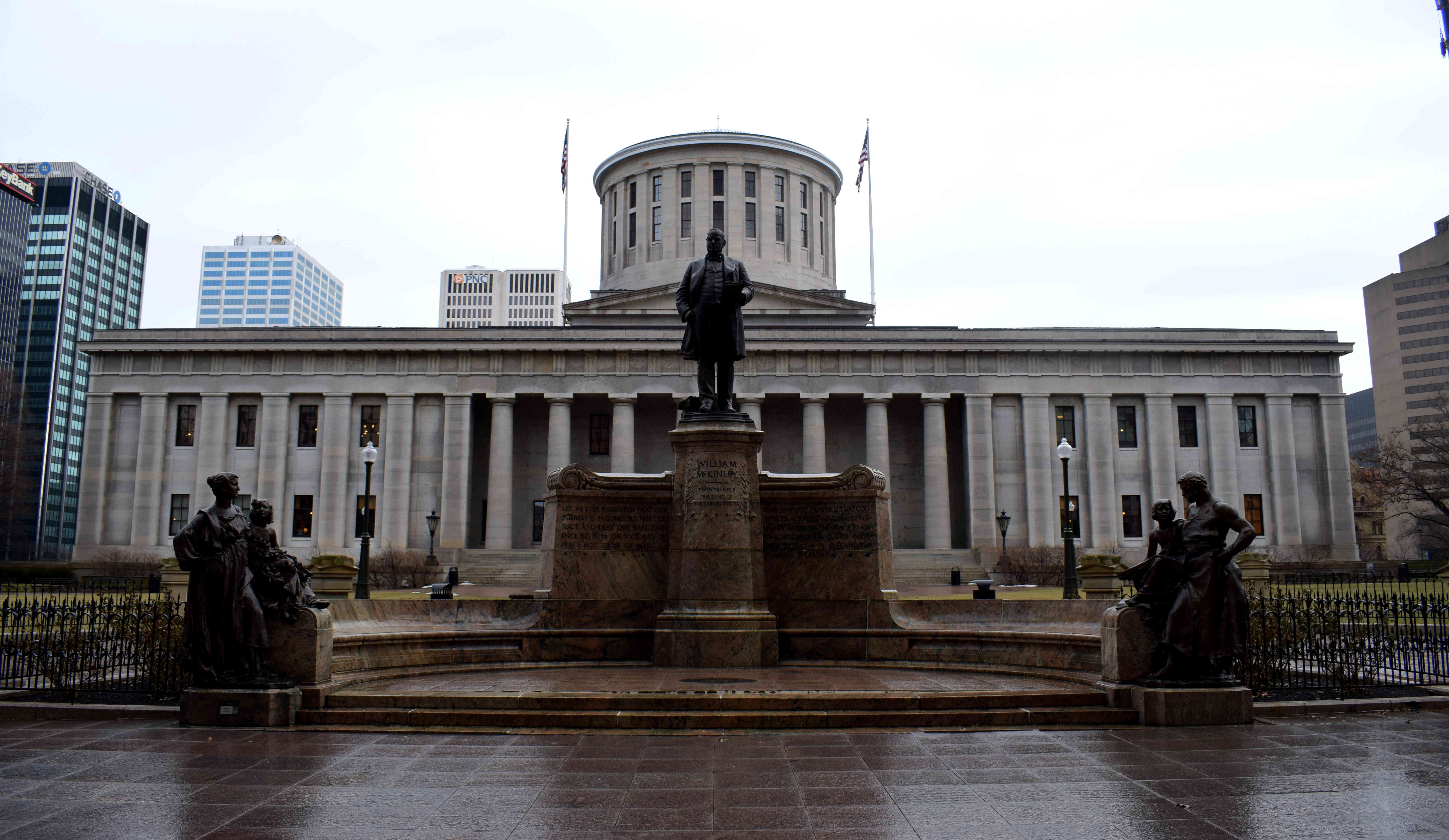 Constructed in the Greek Revival Style in 1861, the Ohio Statehouse is arguably Columbus’s most beautiful building. The Ohio General Assembly and the Ohio Governor’s office are located in it. In front of the Statehouse is a statue to President William McKinley, the 25th president of the United States.
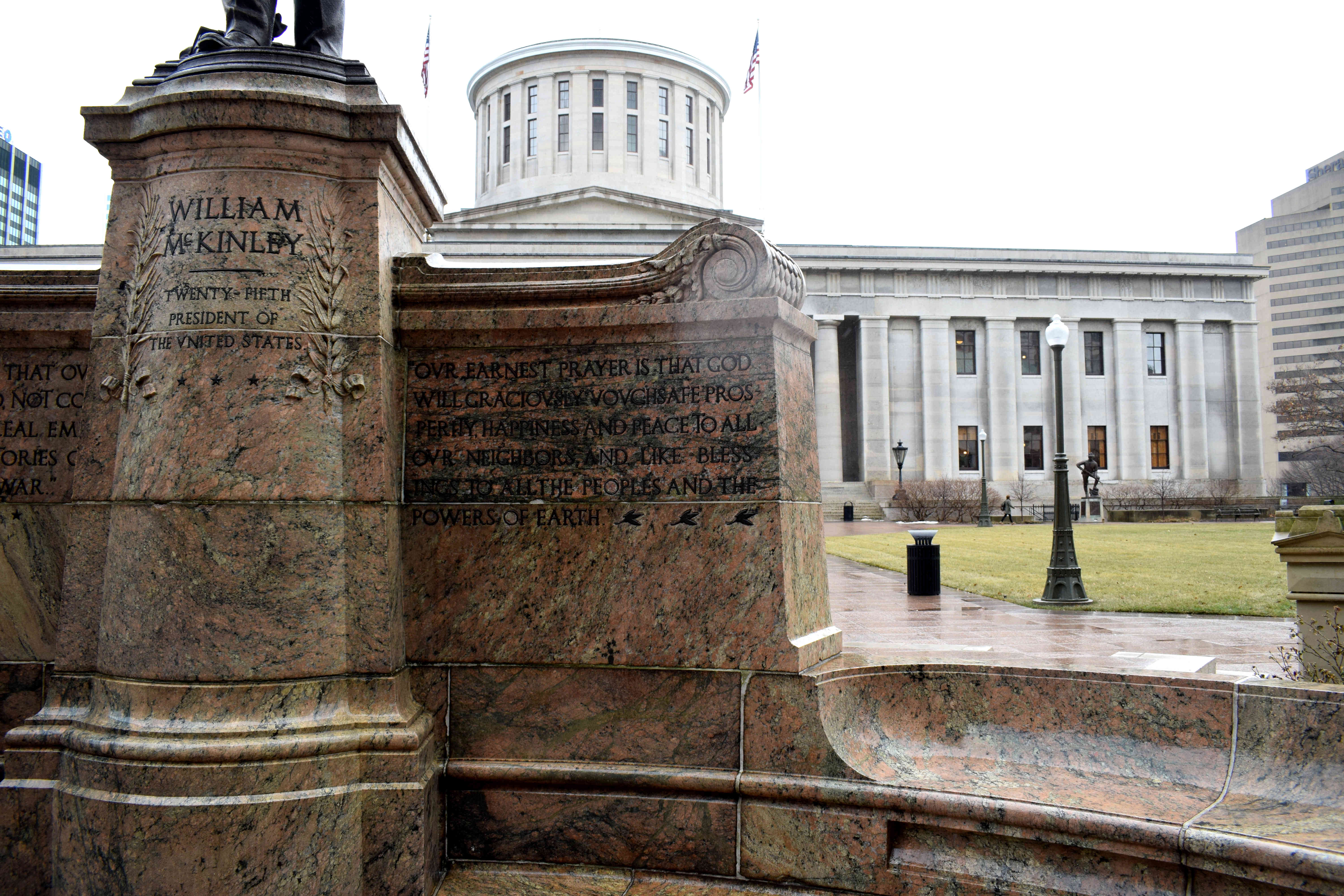 Mckinley was from Ohio. He was the third American president to be assassinated in 1901, following Abraham Lincoln in 1865 and James A. Garfield in 1881. He was also the last American president to have participated in the American Civil War as a soldier.
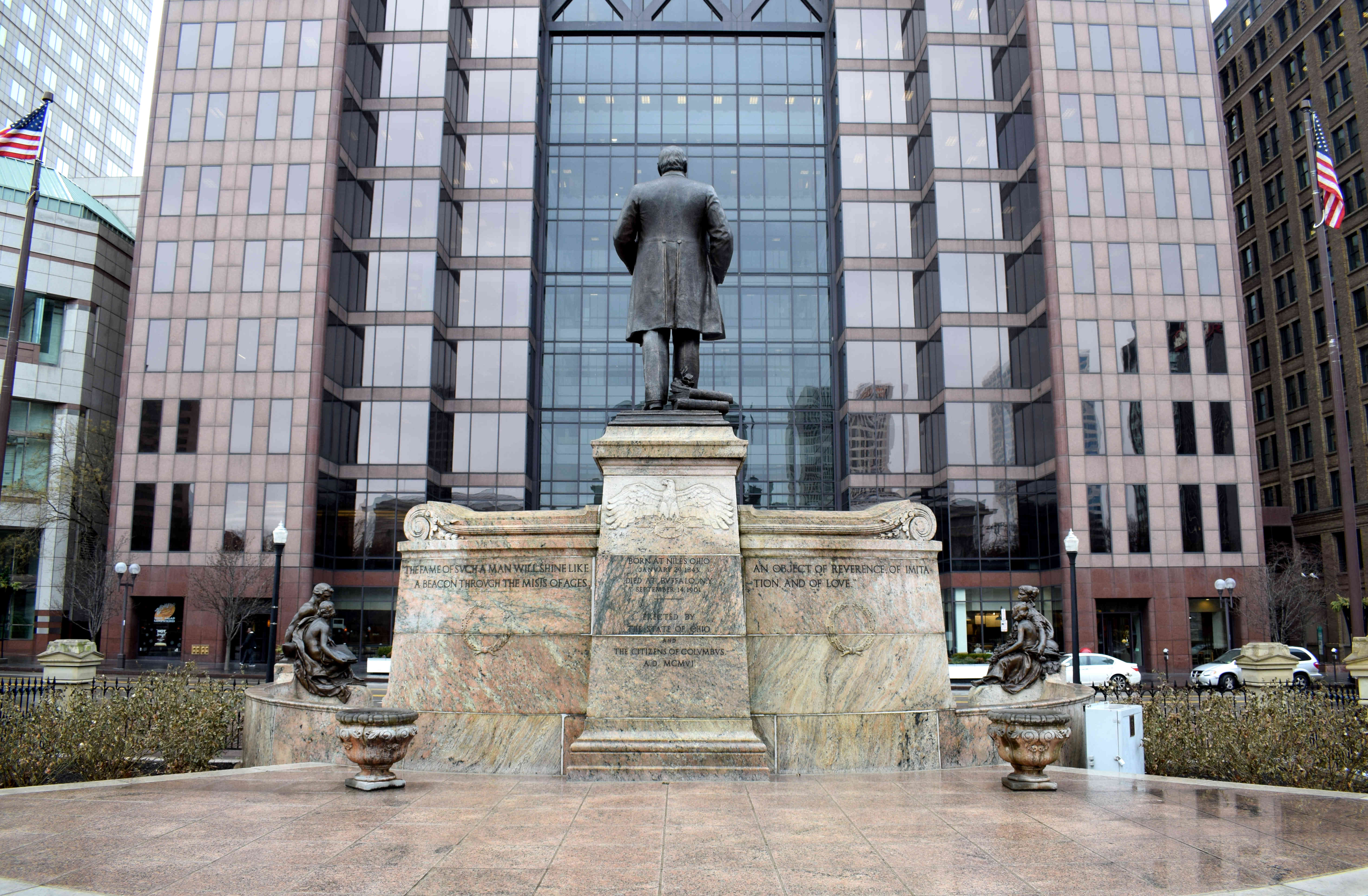 This monument was erected to him in 1906, just five years after his assassination.
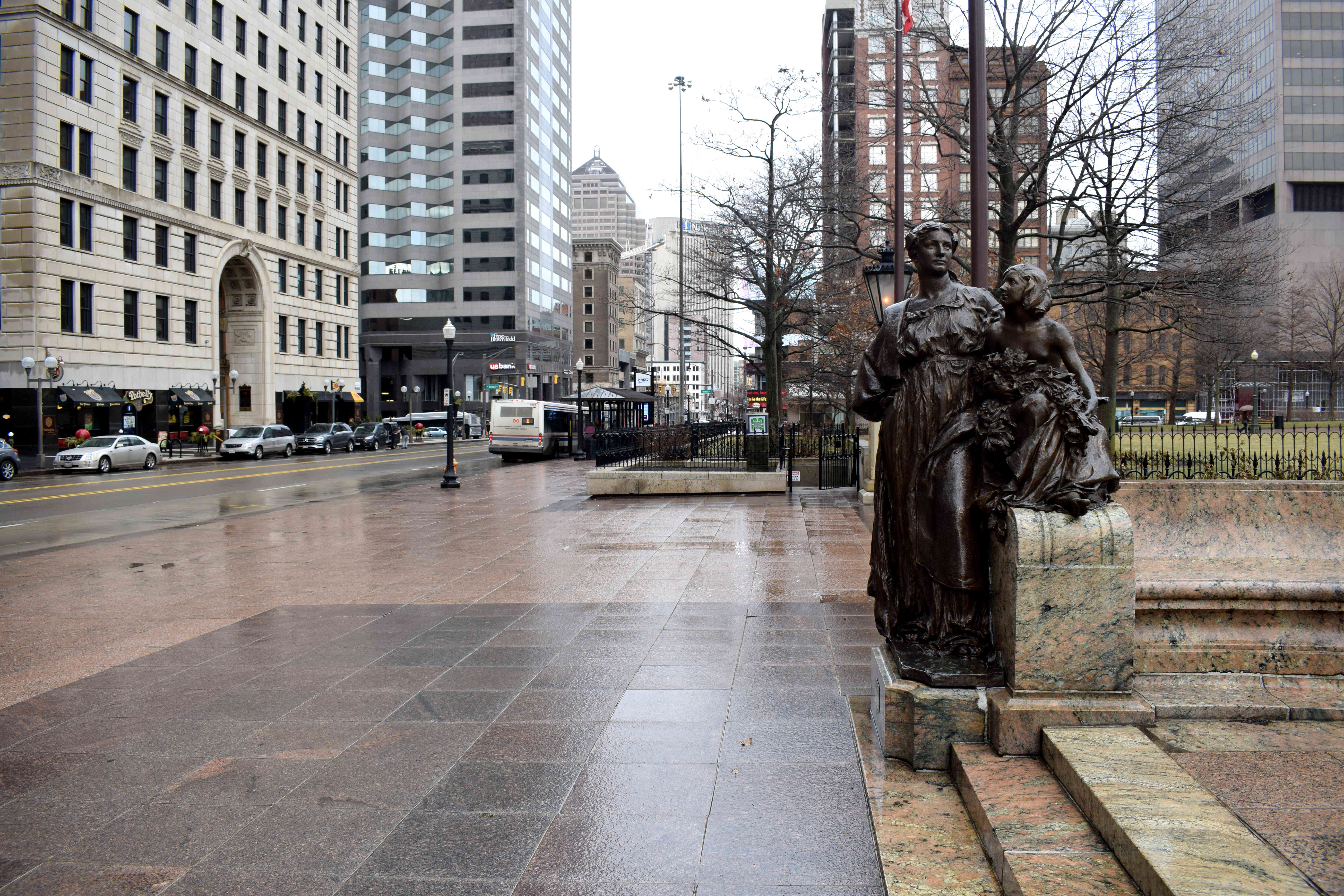 While on the right side an older man looks down on a young boy, meant to symbolize prosperity.
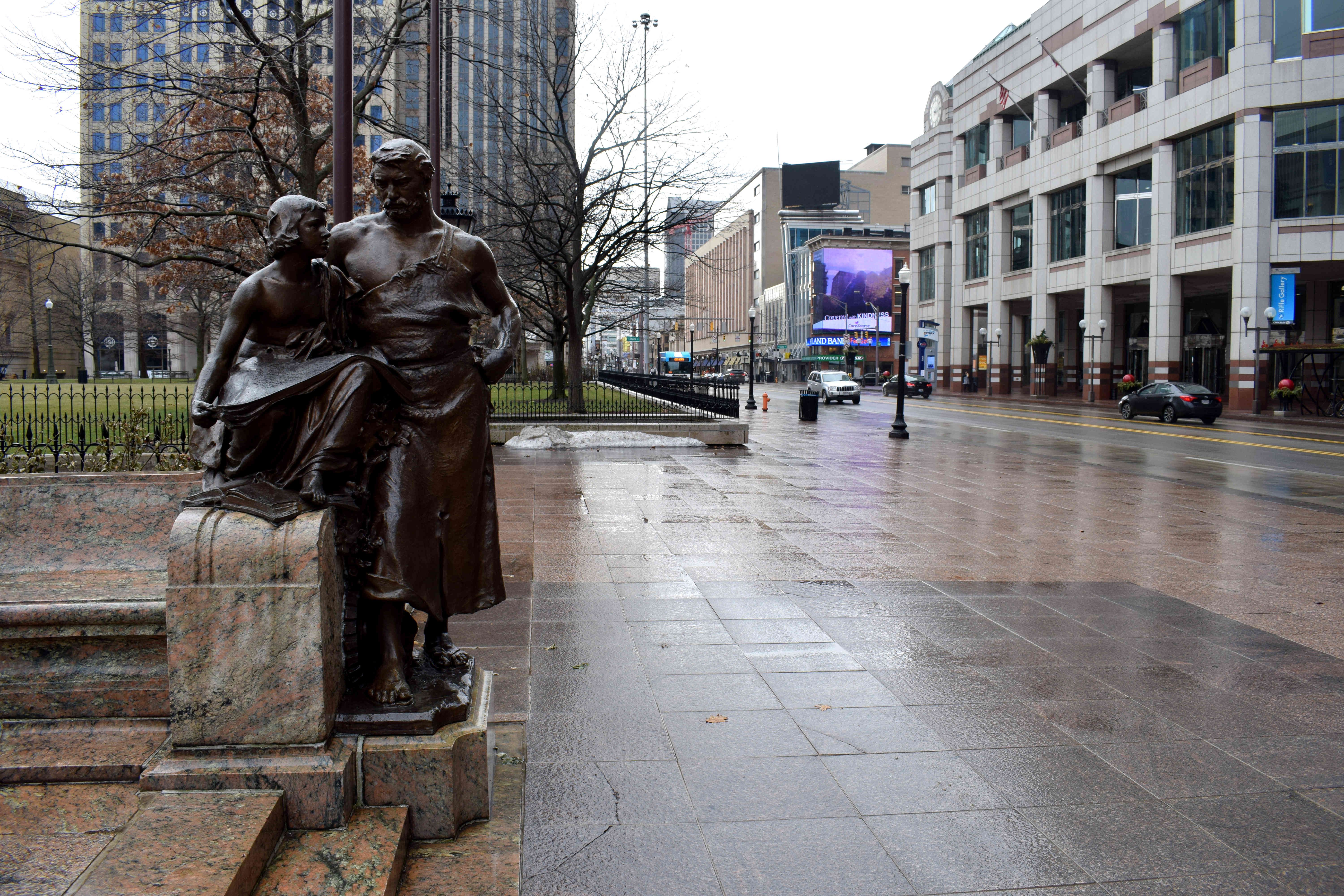 Despite the rainy weather, it was impossible not to notice how clean Columbus was. Unlike New York or Philadelphia, I barely found any trash on the sides of the roads in the center. There was little graffiti on buildings or homeless people on the sidewalks.
 Another thing I liked were the bike lanes in the center. In recent years, Columbus has expanded its bike lane network. While this pales in comparison to bike-friendly cities in Europe, it shows that even in the Midwest, in a car-dependent state like Ohio, people are beginning to realize that everything can be done by bike and there is no need for a car.
 Some colleagues in suits taking lunch.
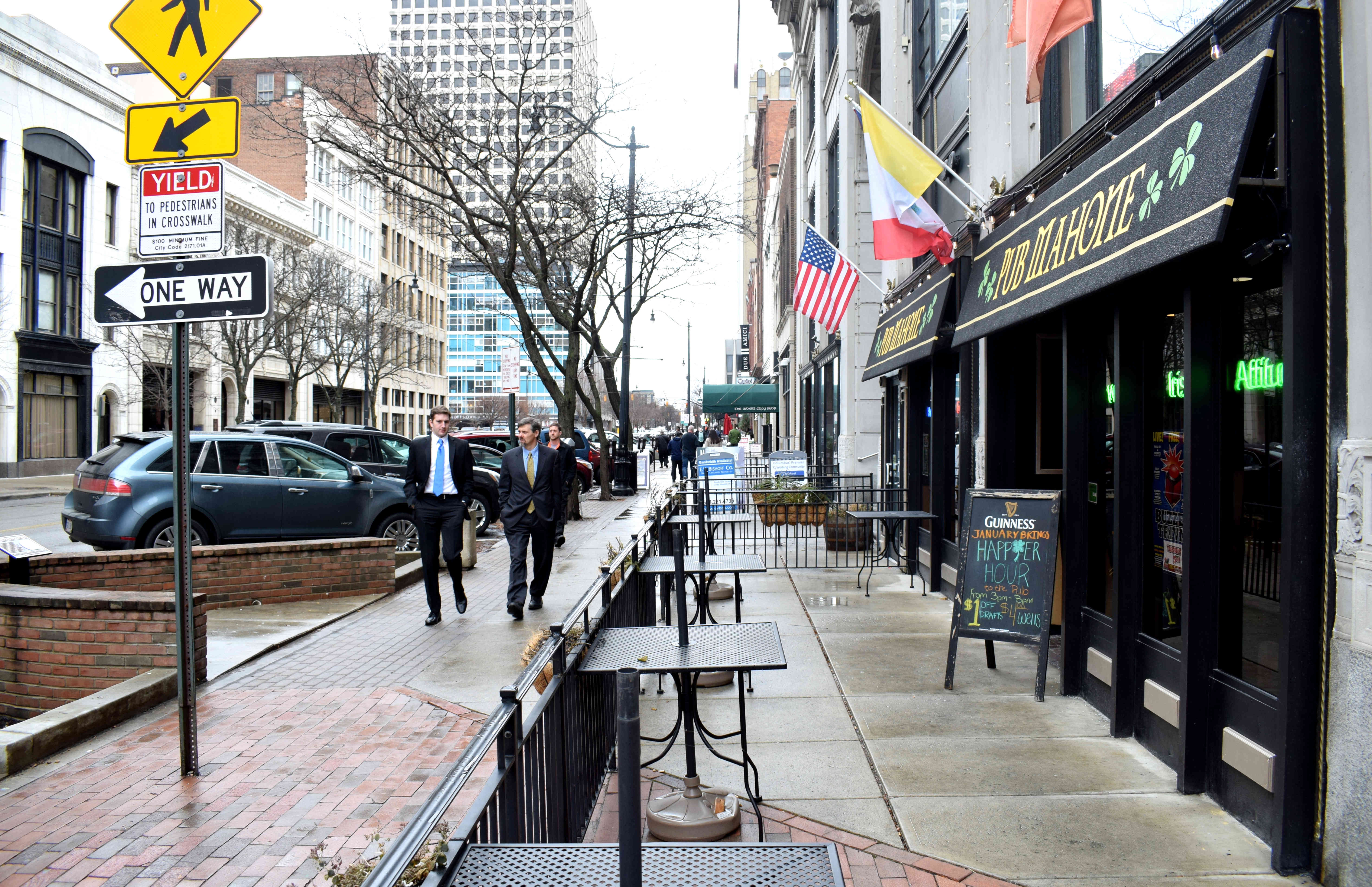 Columbus has clearly been a victim of developers. There are little historic buildings left in the center showcasing the city’s old 19th and early 20th century architecture. While pockets of smaller two or three story buildings can still be found, most of it has been gobbled up by skyscrapers and modern high-rises. It was difficult to find any streets in the center that had enough uninterrupted historical buildings on them that could be converted into a pedestrian zone, the way
 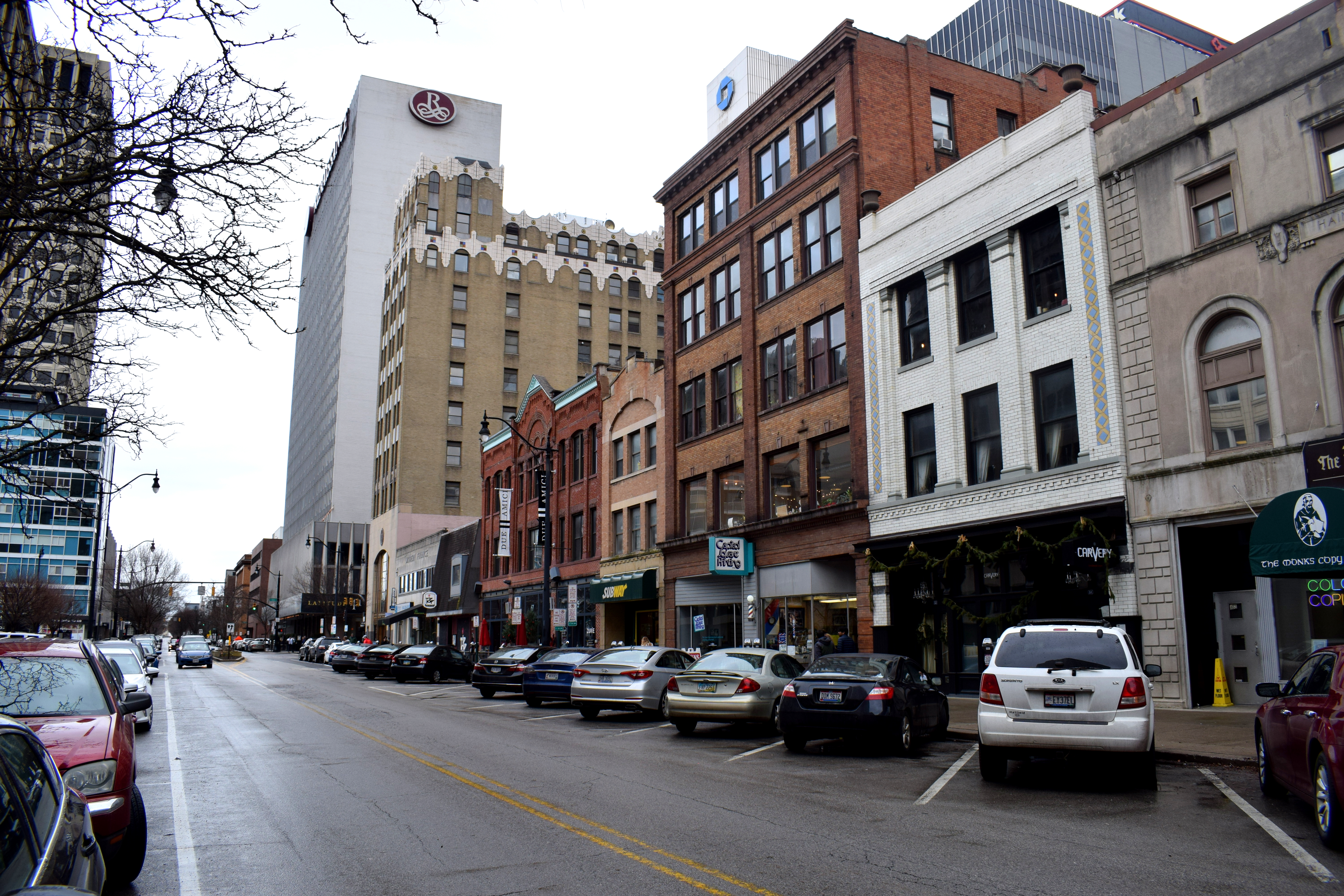 A few more historic buildings downtown.
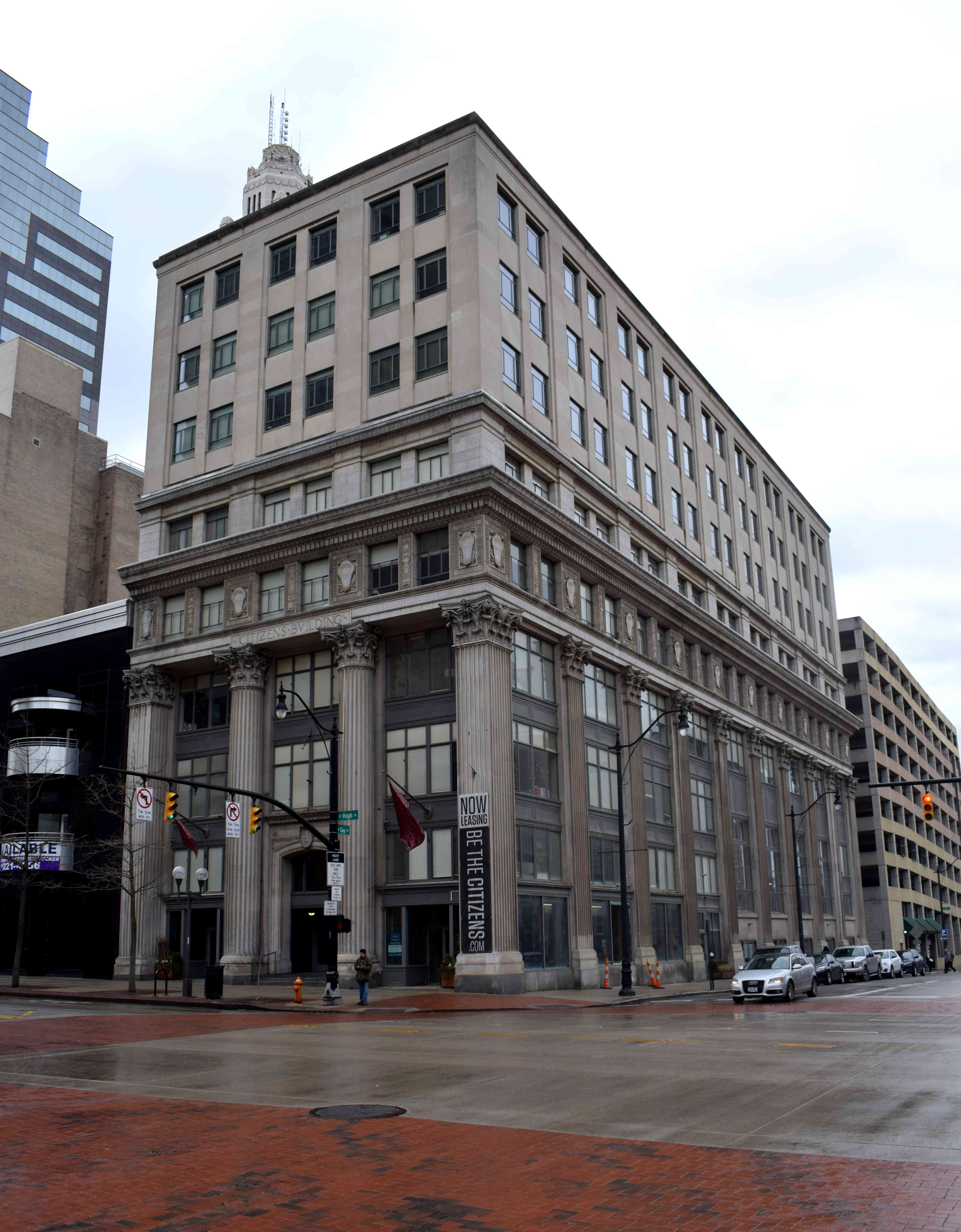
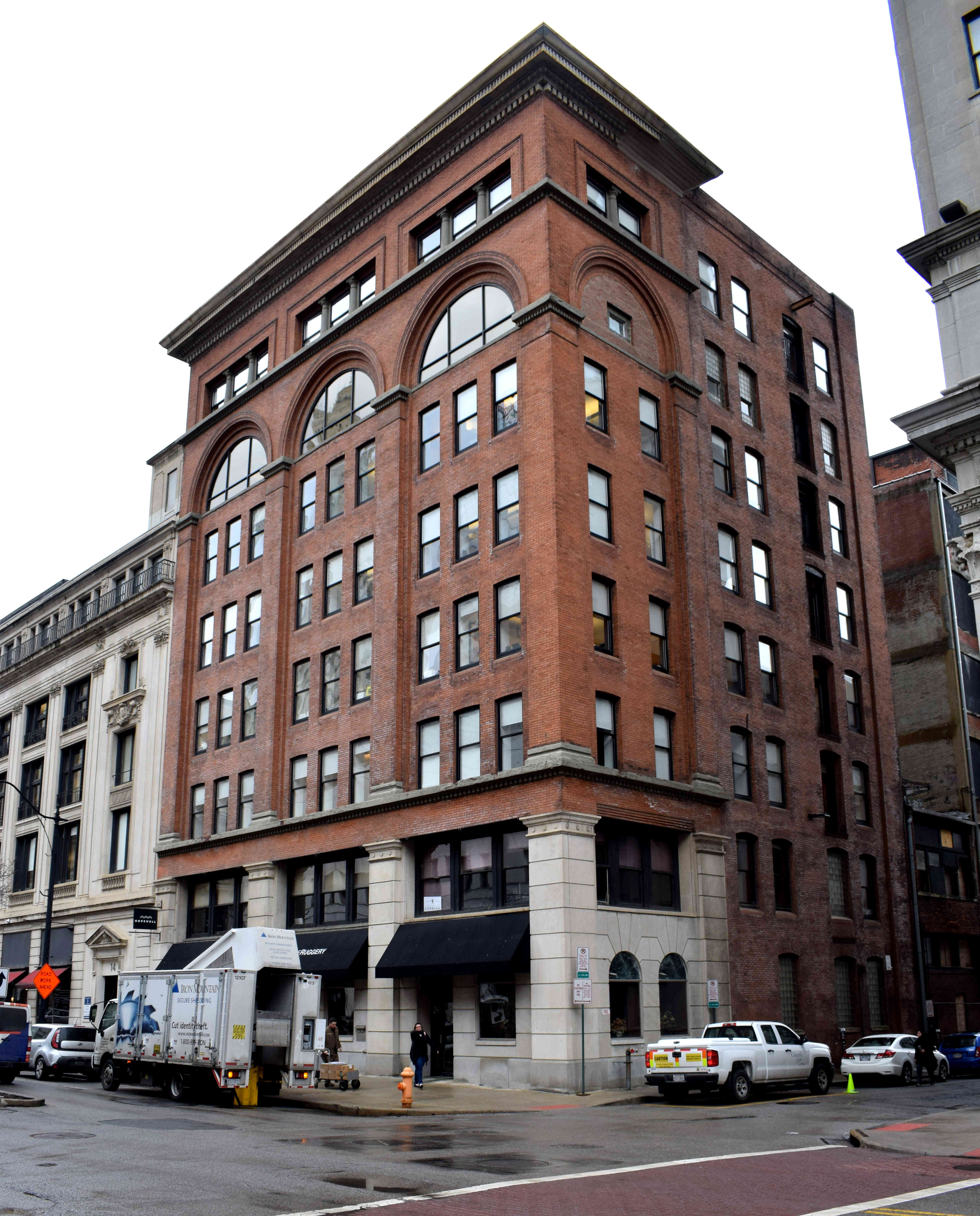
 While these buildings are nice, it is difficult to enjoy them to their full extent as they are overpowered by taller, modern structures made of steel and glass.
 In other cases, their facades are covered with advertising.
 One of Columbus’s most impressive buildings is the Atlas Building, built in 1905 and added to the U.S. National Register of Historic Buildings in 1977.
 The Atlas Building is a unique example of early 20th century American architecture, particularly because of how tall and narrow the building is.
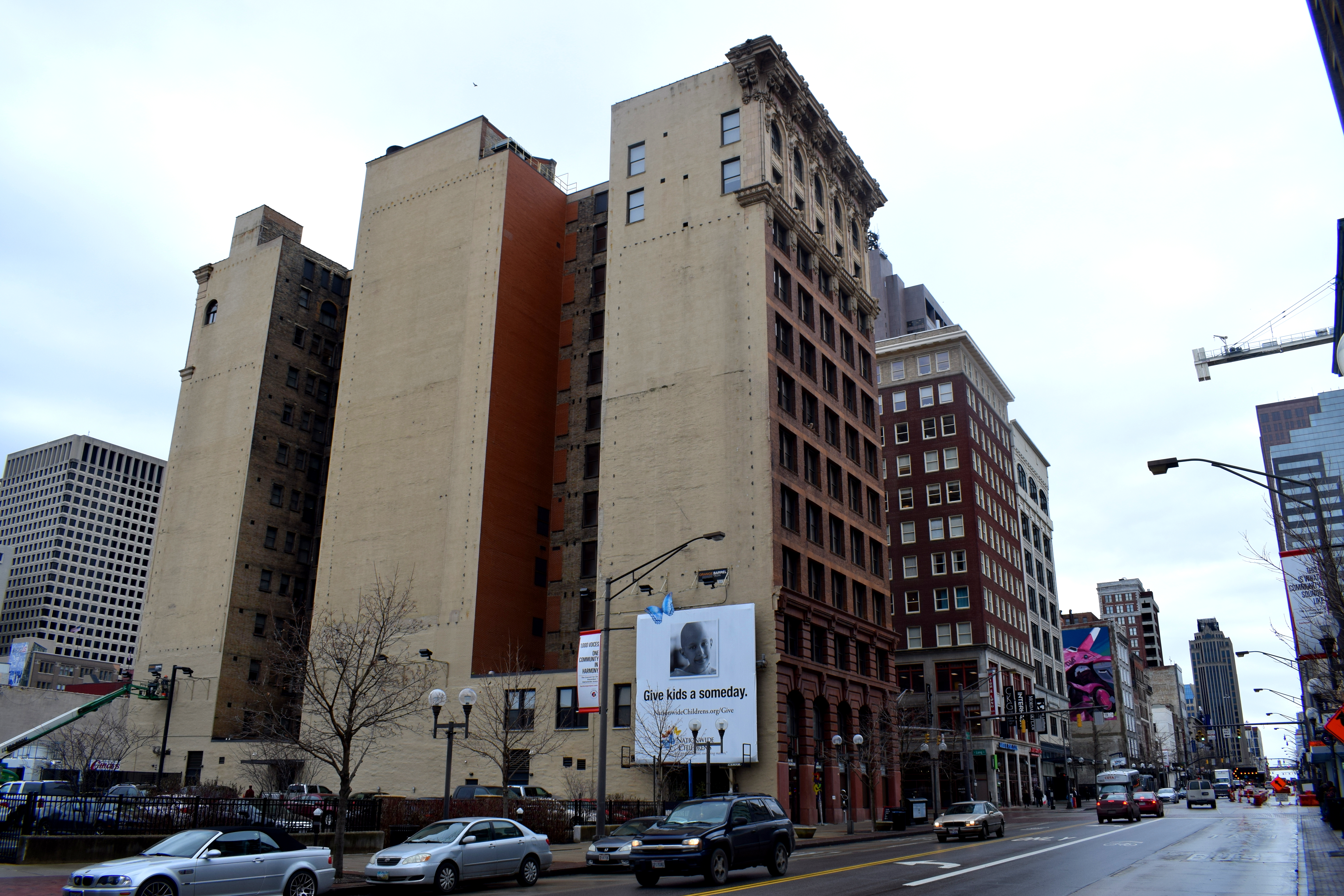 Overall the center of Columbus felt like a bit of mish mash of old buildings thrown together from different eras without any cohesive plan. Here we have a cool historic storefront sign.
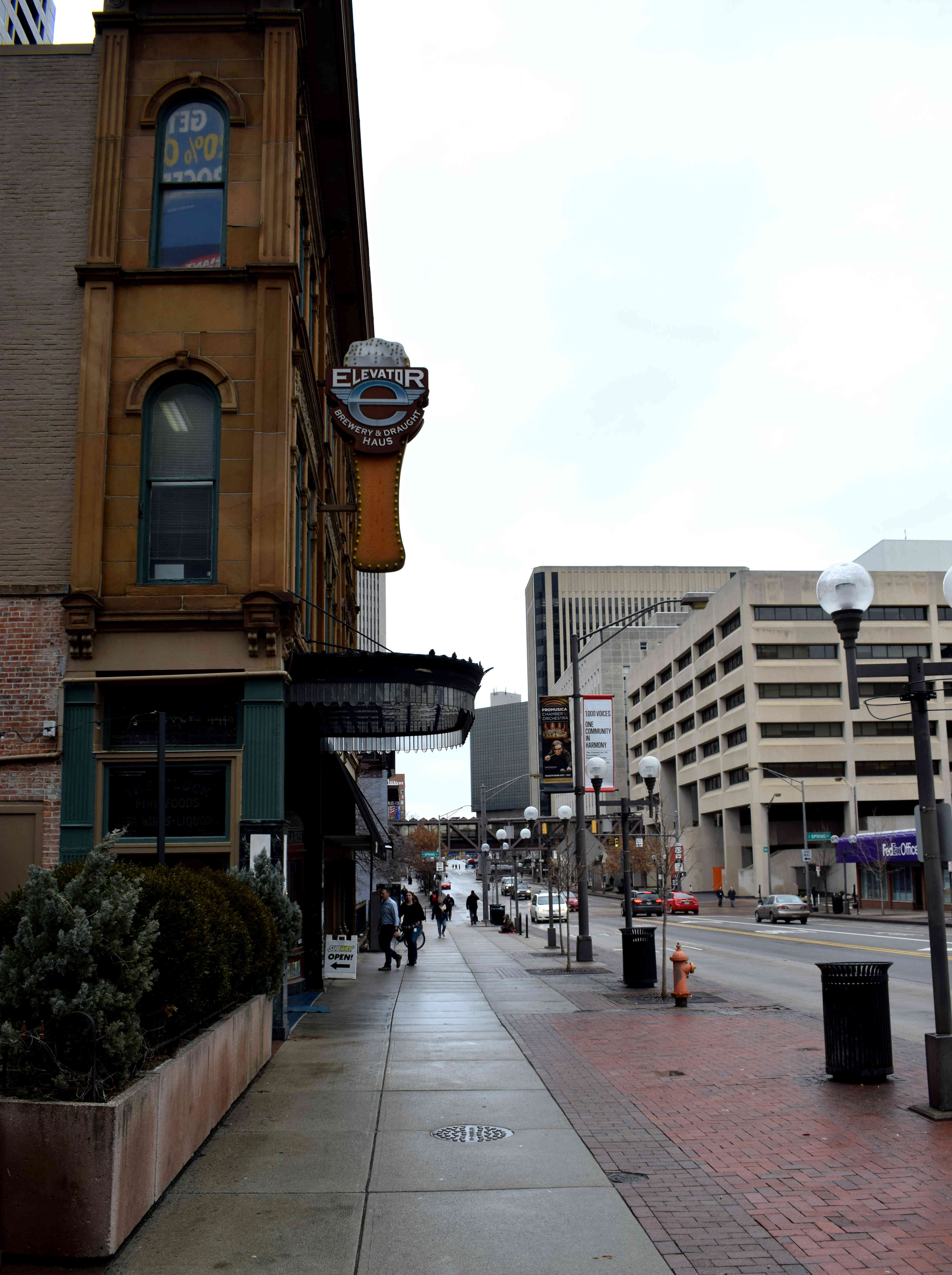 Old style restaurant facades in the center.
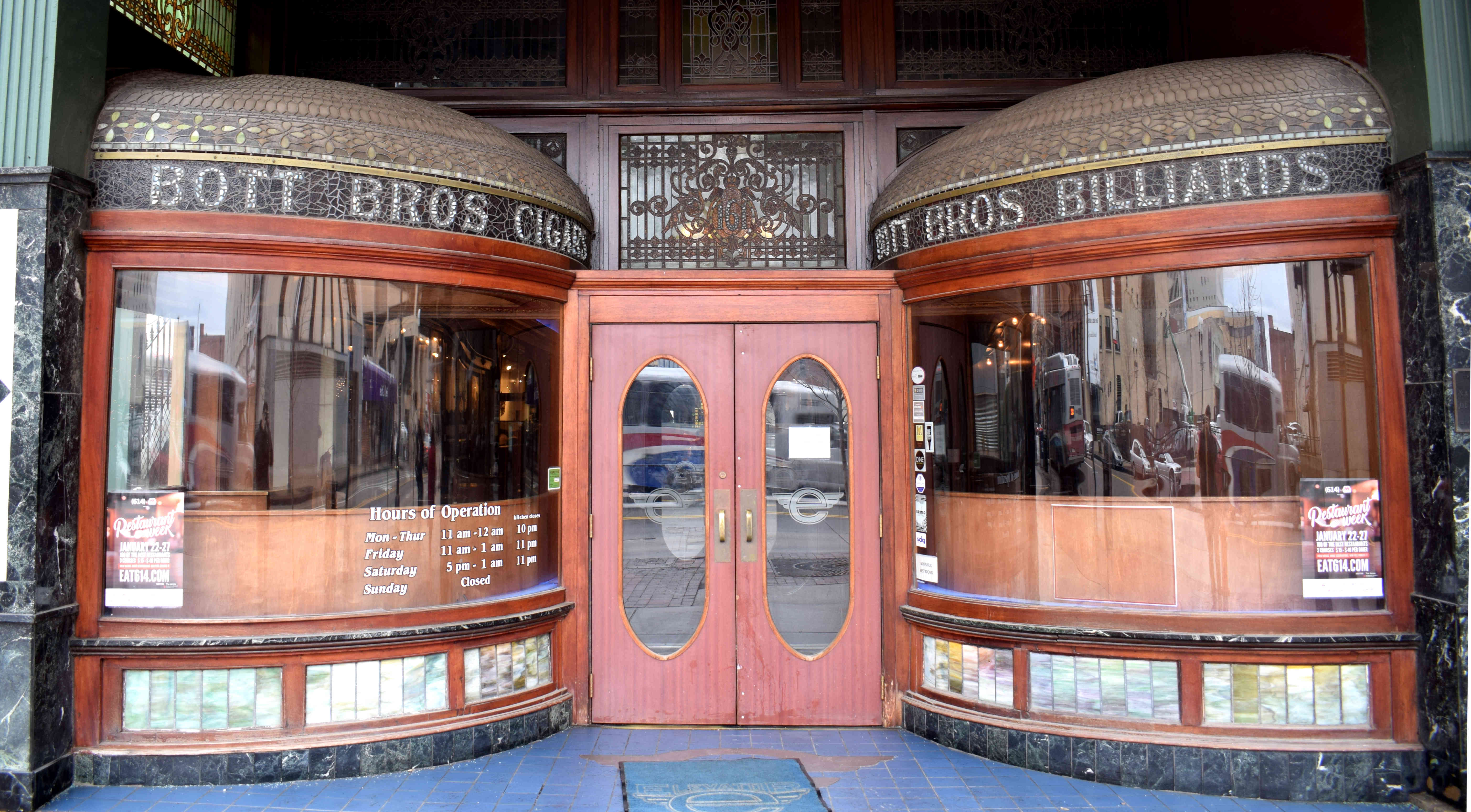 Food trucks in the city center. Columbus is known for its food scene. Some have boldly stated that
  The business district with an interesting overpass.
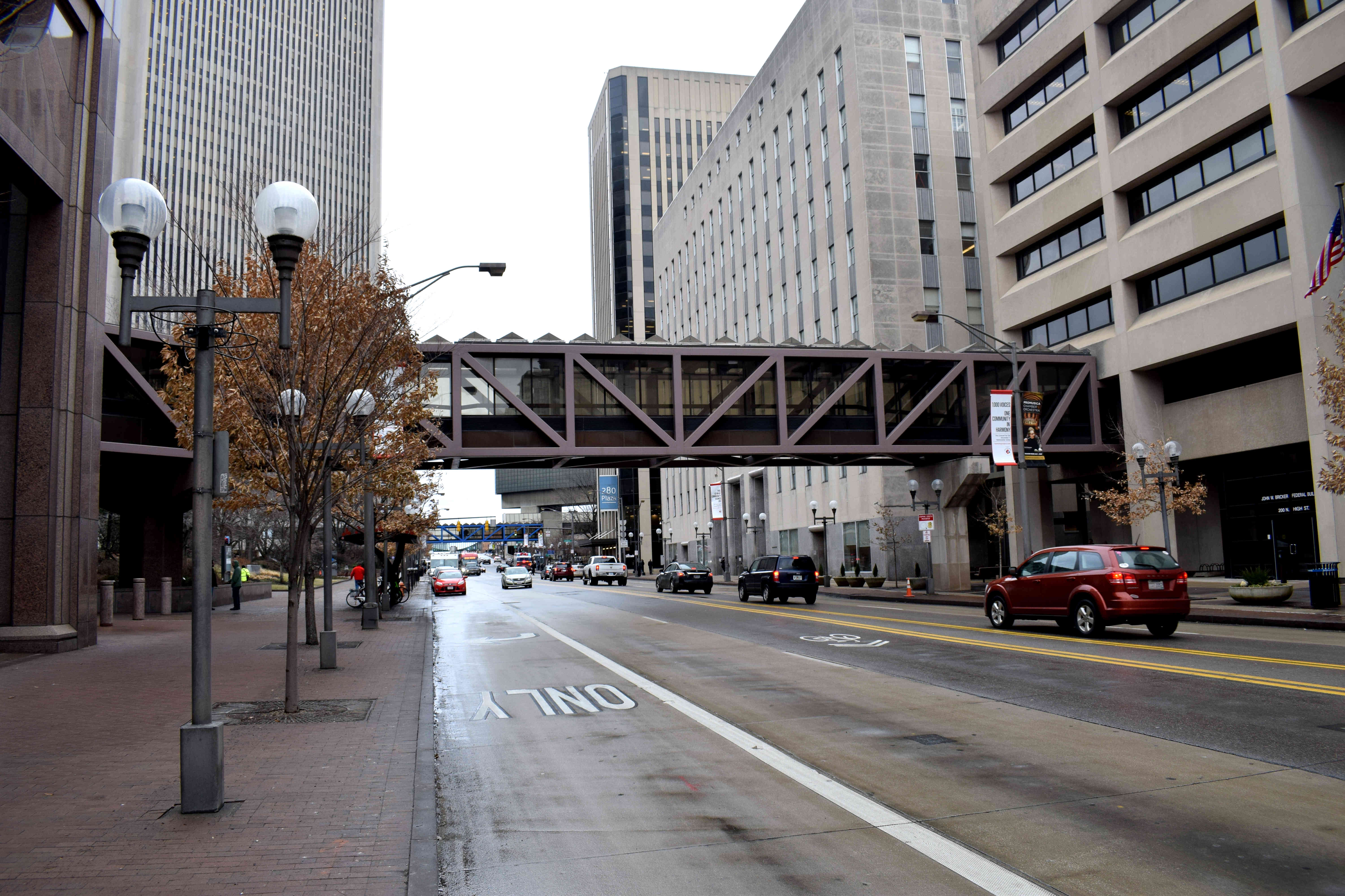 High Street is perhaps the most important street in Columbus. It passes by the Ohio State University Campus, the Columbus business and financial district, the popular Short North neighborhood and onward to Clintonville and suburbia.
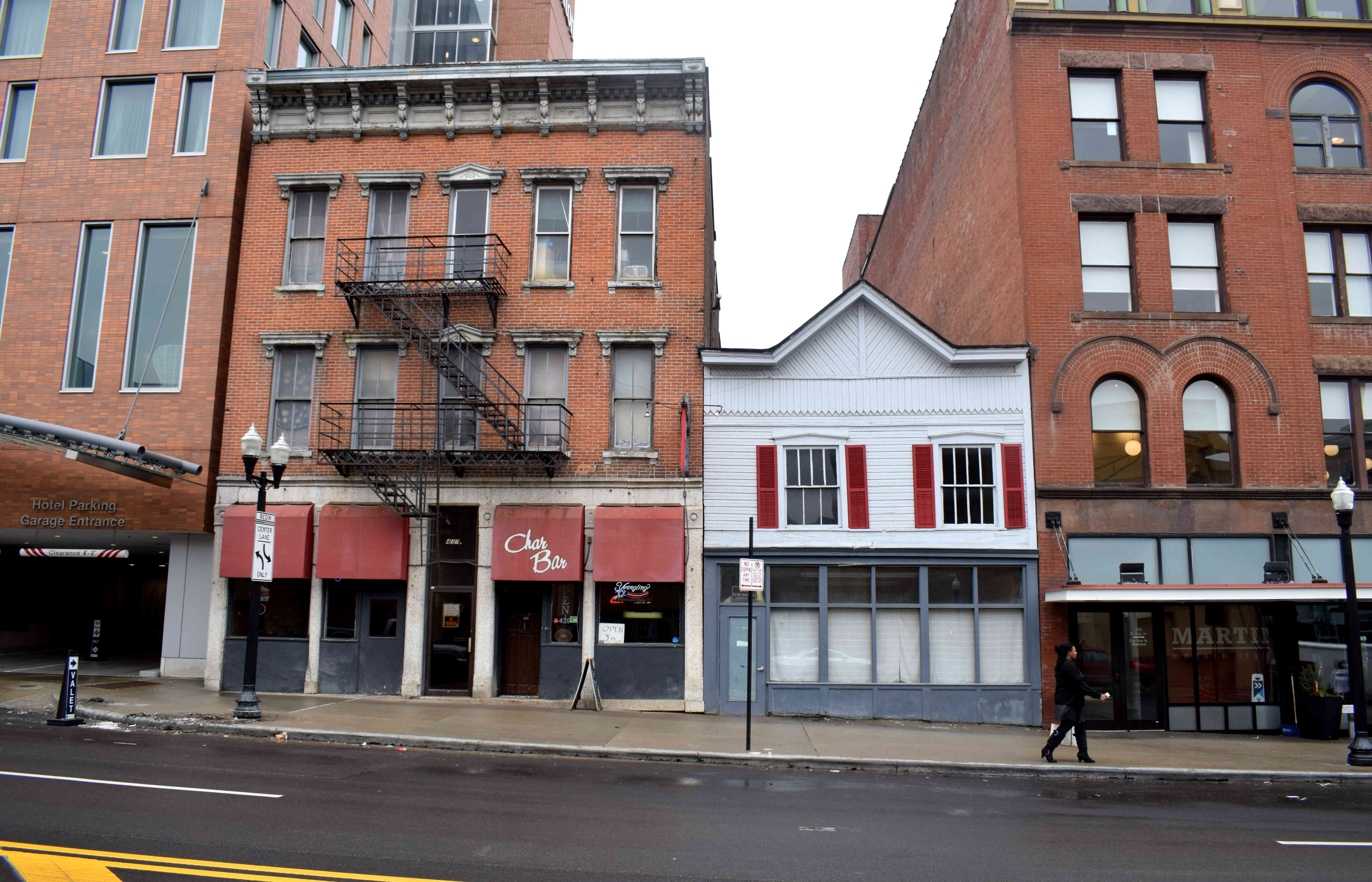 The Short North neighborhood in particular has become a hotbed of creativity and a hipster’s paradise. The area is dominated by gritty, industrial buildings with lots of small businesses and young people.
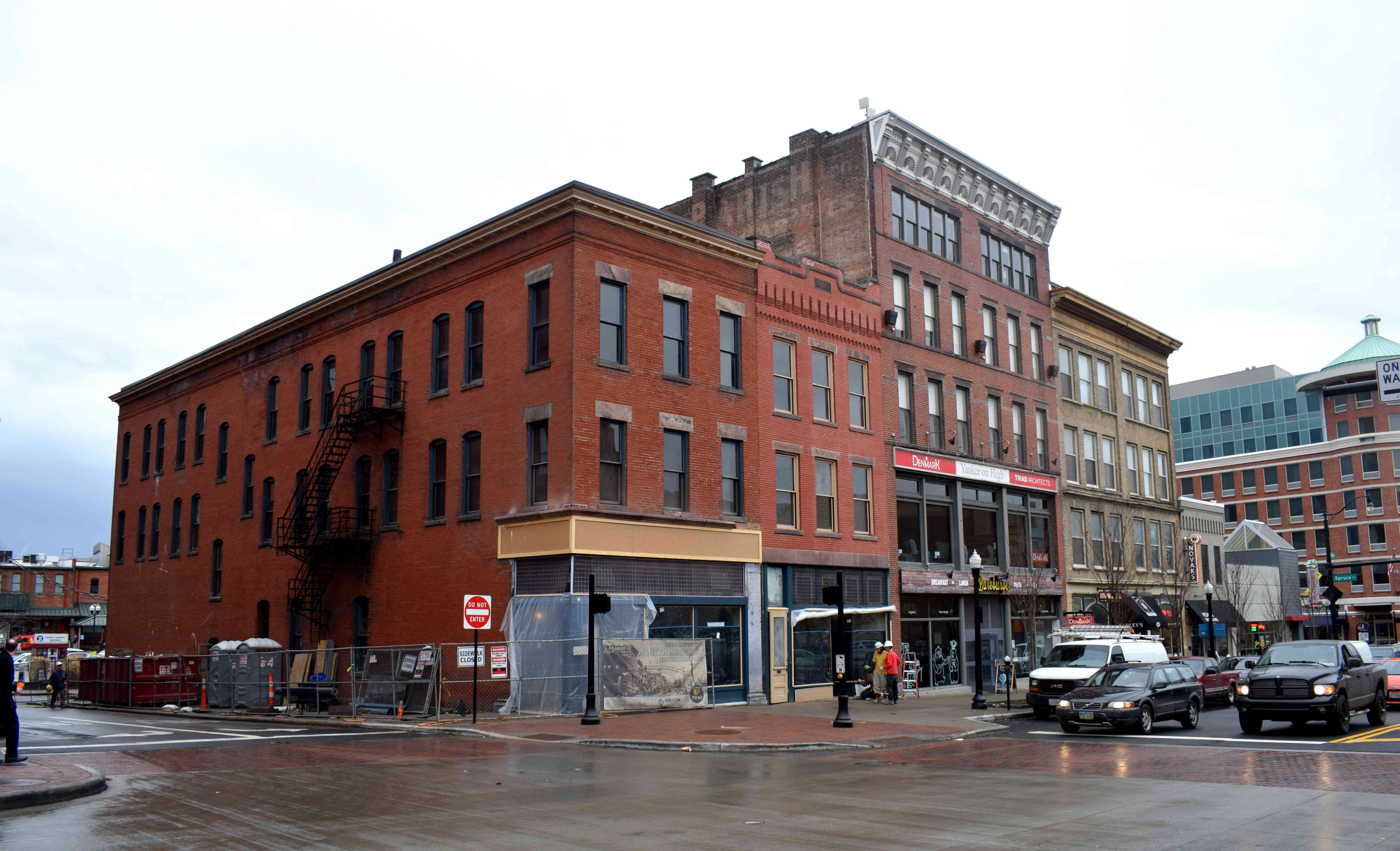 And while part of the reason the street is so attractive is the old gritty architecture, I saw many examples of buildings that had been ruined by developers. This is a perfect example for how to ruin a historic building by trying to mix the old and the new. Other
 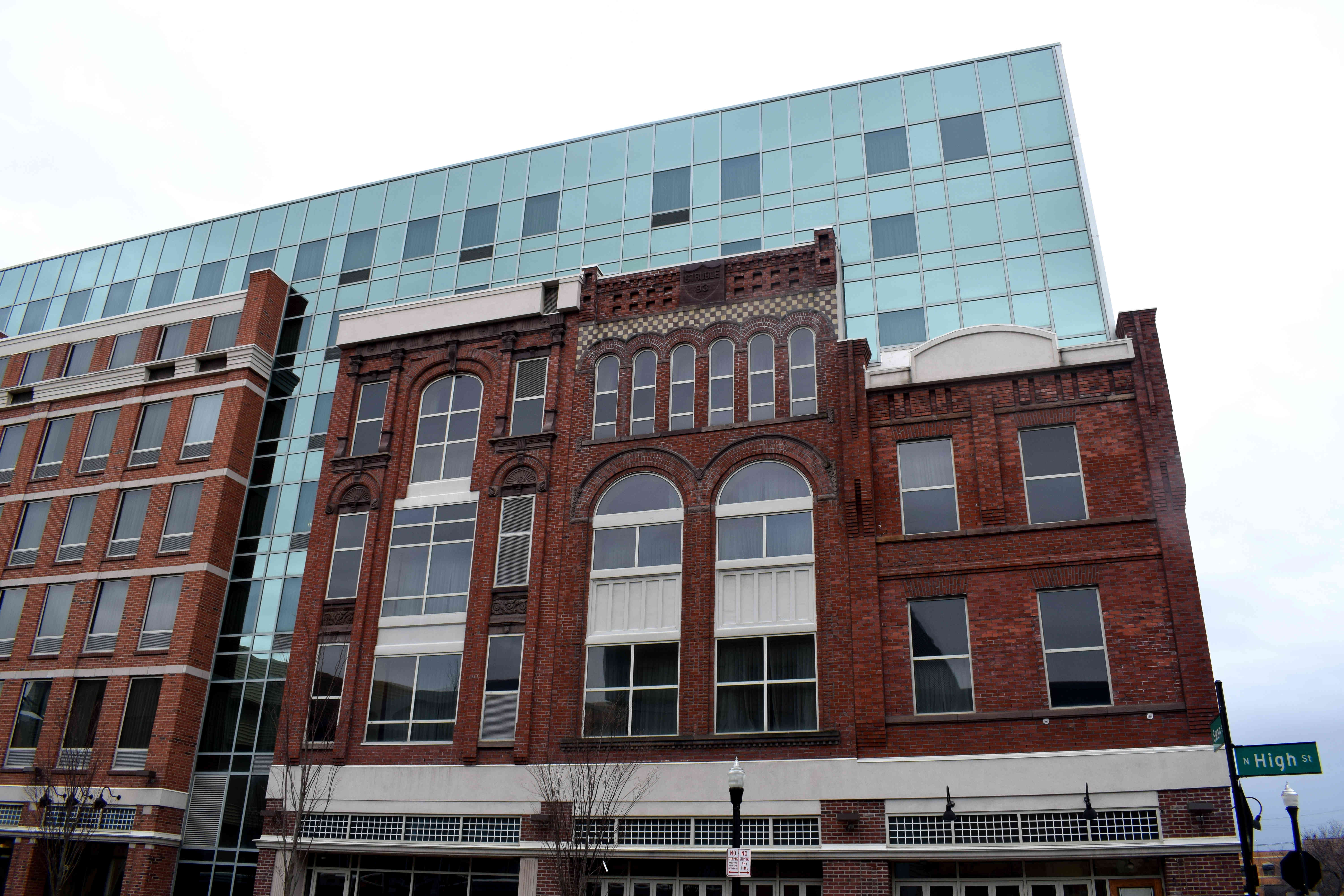 You can see historic Columbus contrasted with the modern Columbus in this photo.
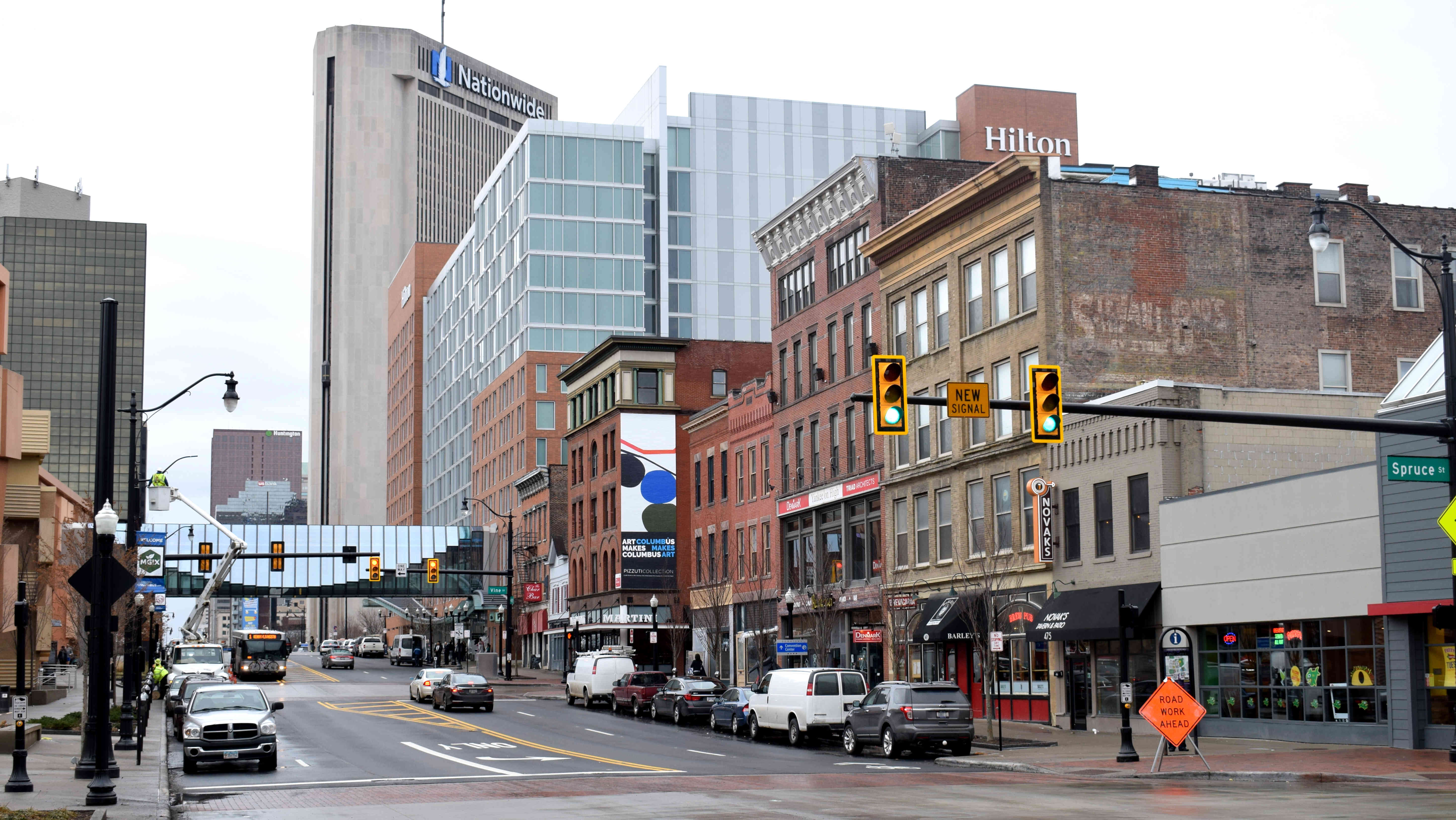 Further along the street you find the Annunciation Greek Orthodox Cathedral. Founded in 1910 and built in the Byzantine architectural style of the 6th century, it hosts a Greek Festival each year that is a major food event in Columbus.
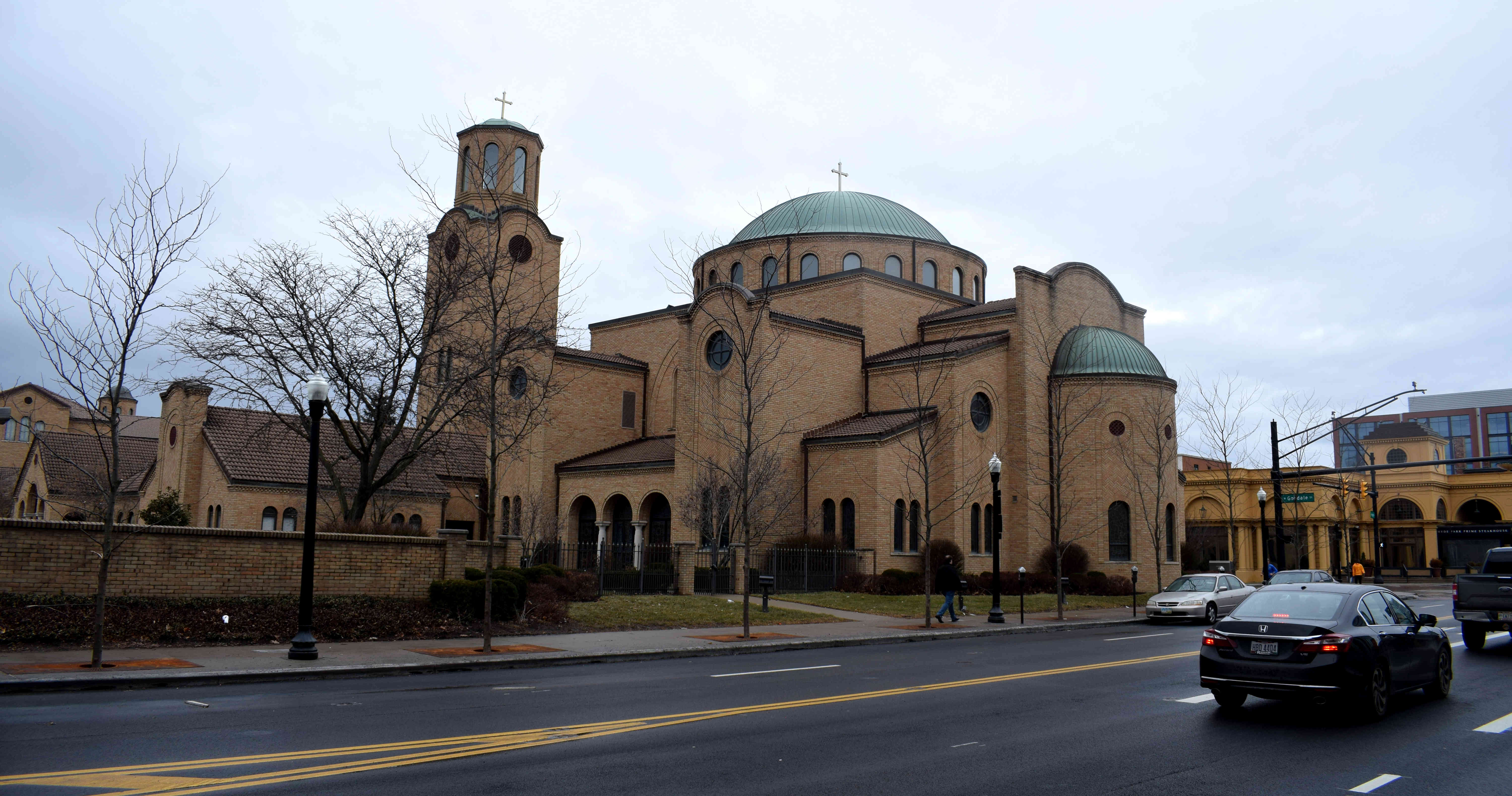 The entrance to the Short North neighborhood. Many young professionals and students are moving here owing to the proximity of the OXU campus nearby. But developers have caught on and are buying up old properties and replacing them with modern high-rises. It’s a question how much longer the neighborhood will retain its historic feel Just look at how the building on the right fails to blend in with the surrounding architecture.
 Some traditional storefronts on the street.
 The sidewalk in front of the stores.
 More construction.
 One final look down the street.
 I’ll end up with a traditional American hole-in-the-wall dive bar. These places are great.
 Columbus has the potential to be great. When I visited, it was raining. It was January. There were few people around in the center and this may have tainted my observations. I’ll have to return another time when the weather is nice and see Columbus in its full form.
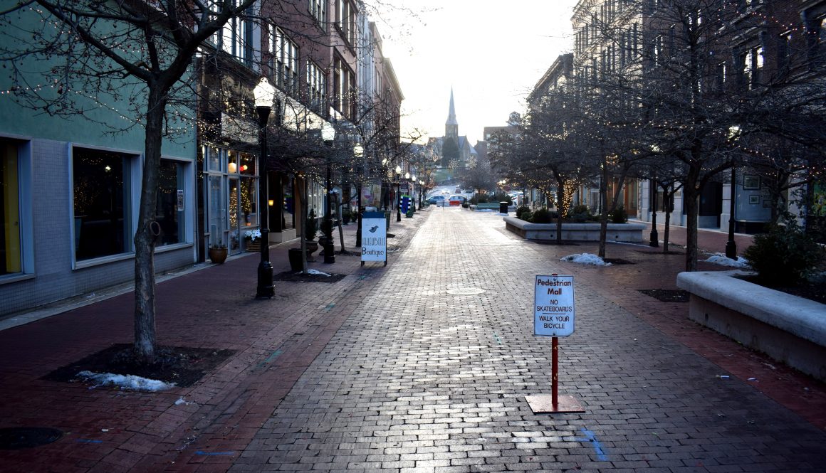
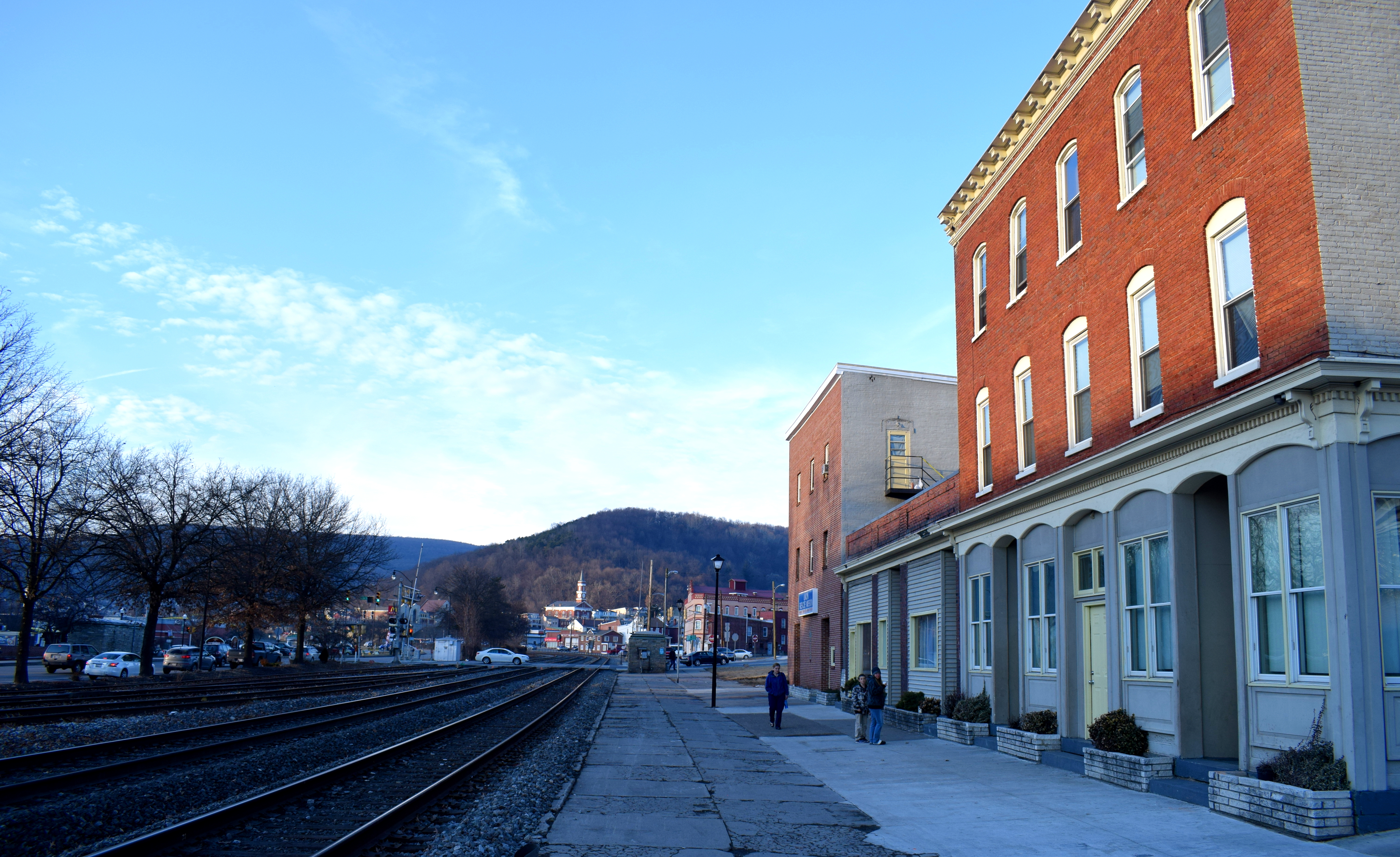 Near the entrance to the town there is a memorial to Americans who died in the Gulf War, Afghanistan and Iraq.
 Cumberland had a lot of churches scattered throughout the city. Its location out in the mountains of western Maryland made it a strategic stop during the westward expansion of the United States. Many people would later on migrate and settle the state of Ohio from Cumberland.
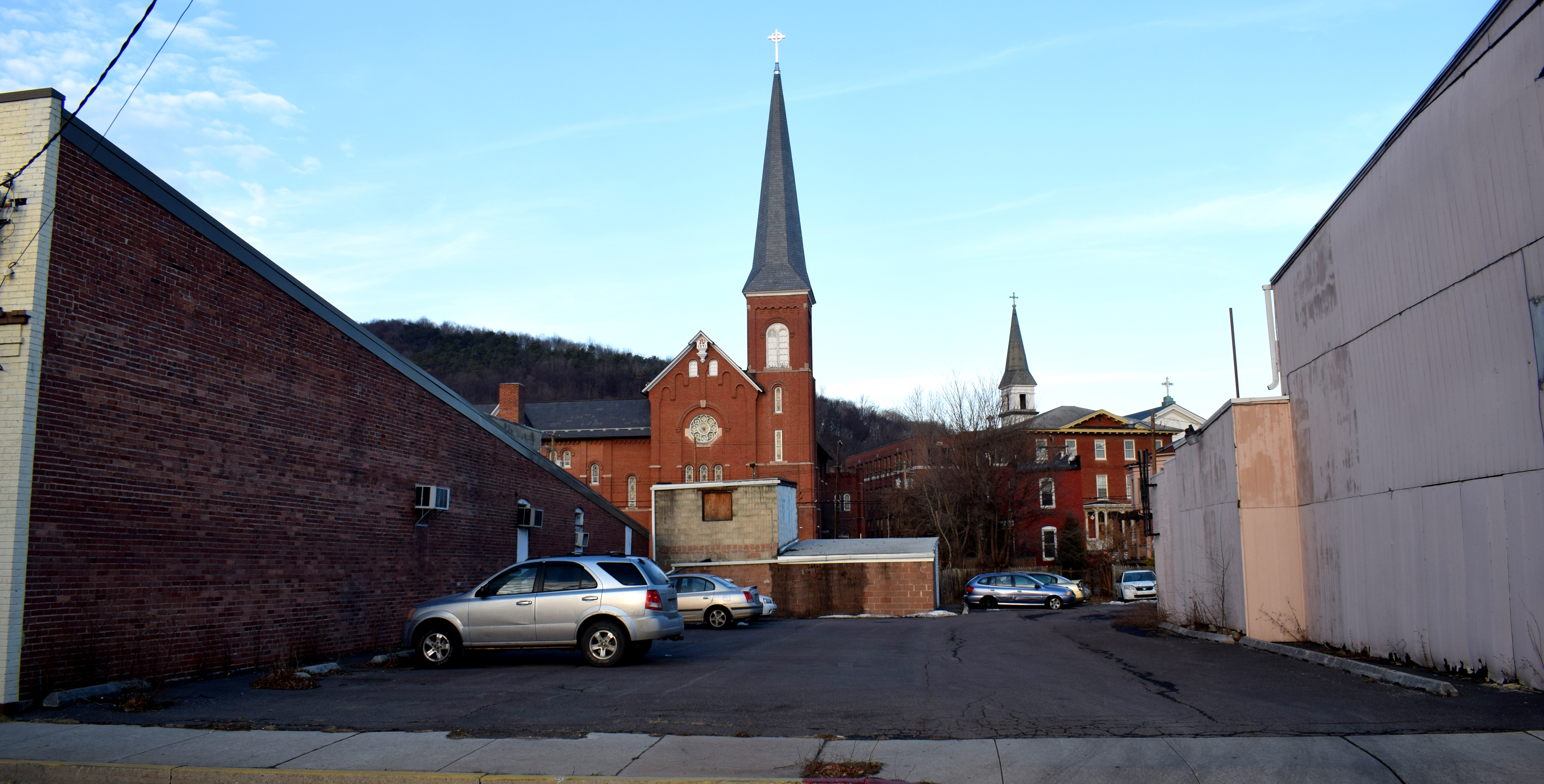 The St. Peter & Paul Church founded in 1848 and located on top of a steep hill overlooking the city. Cumberland is a very hilly city with beautiful views of the surrounding mountains.
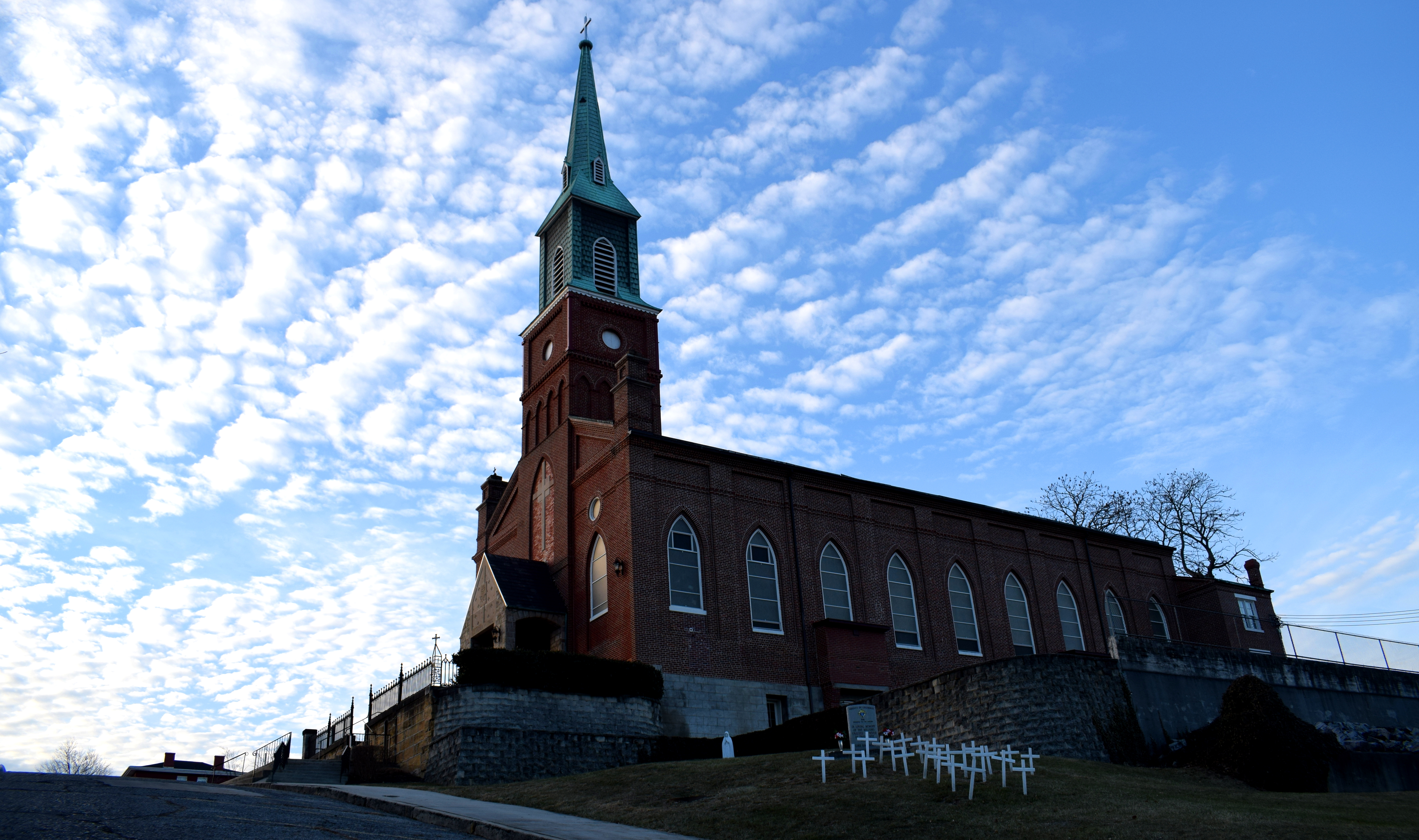 When Europeans first began migrating westward in the 1700’s they faced stiff resistance from Native American tribes which lived in the Appalachian mountains along the Potomac River. The state of Maryland eventually bought the land from Native Americans in 1744 opening the area up for settlement.
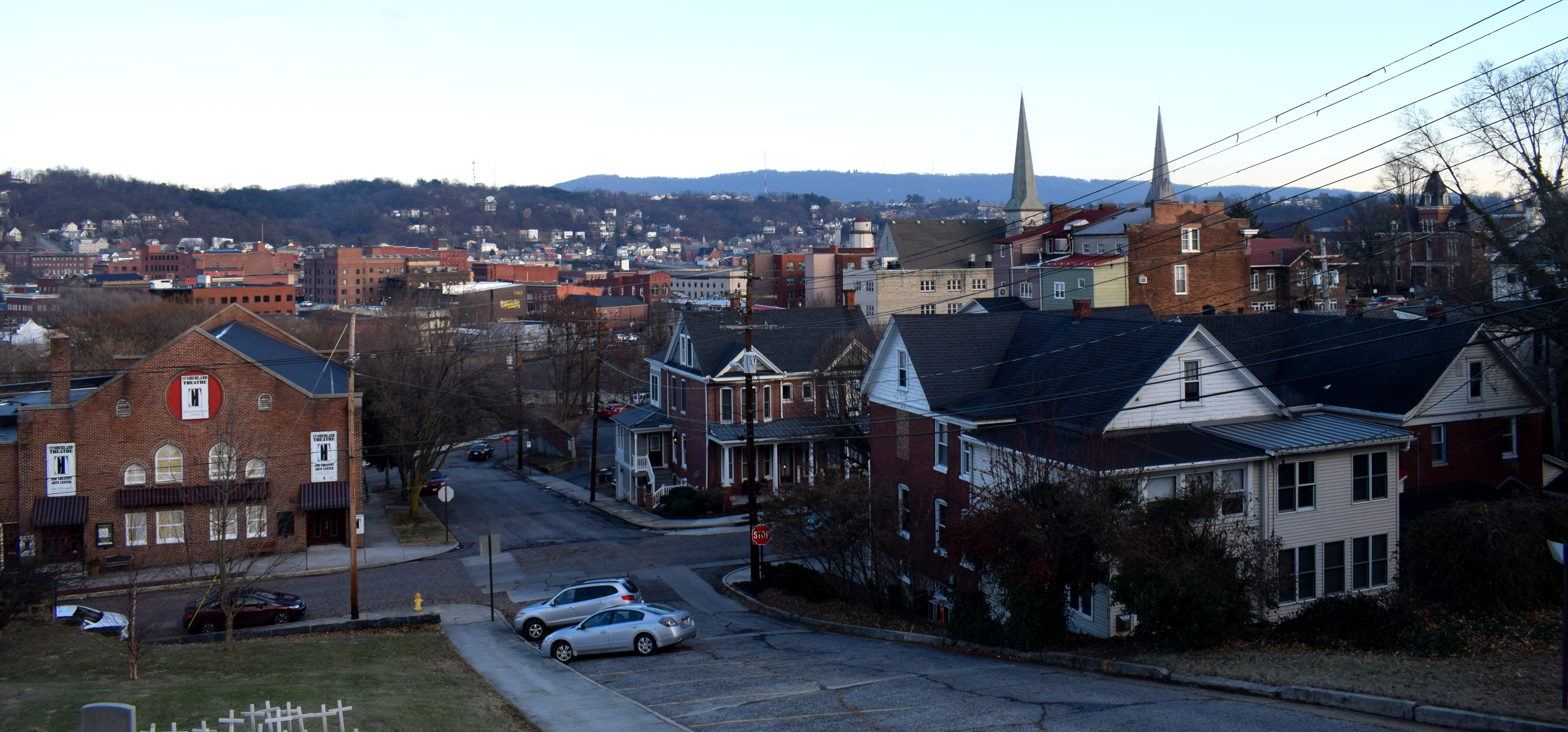 The Allegany County Circuit Court, built in 1841.
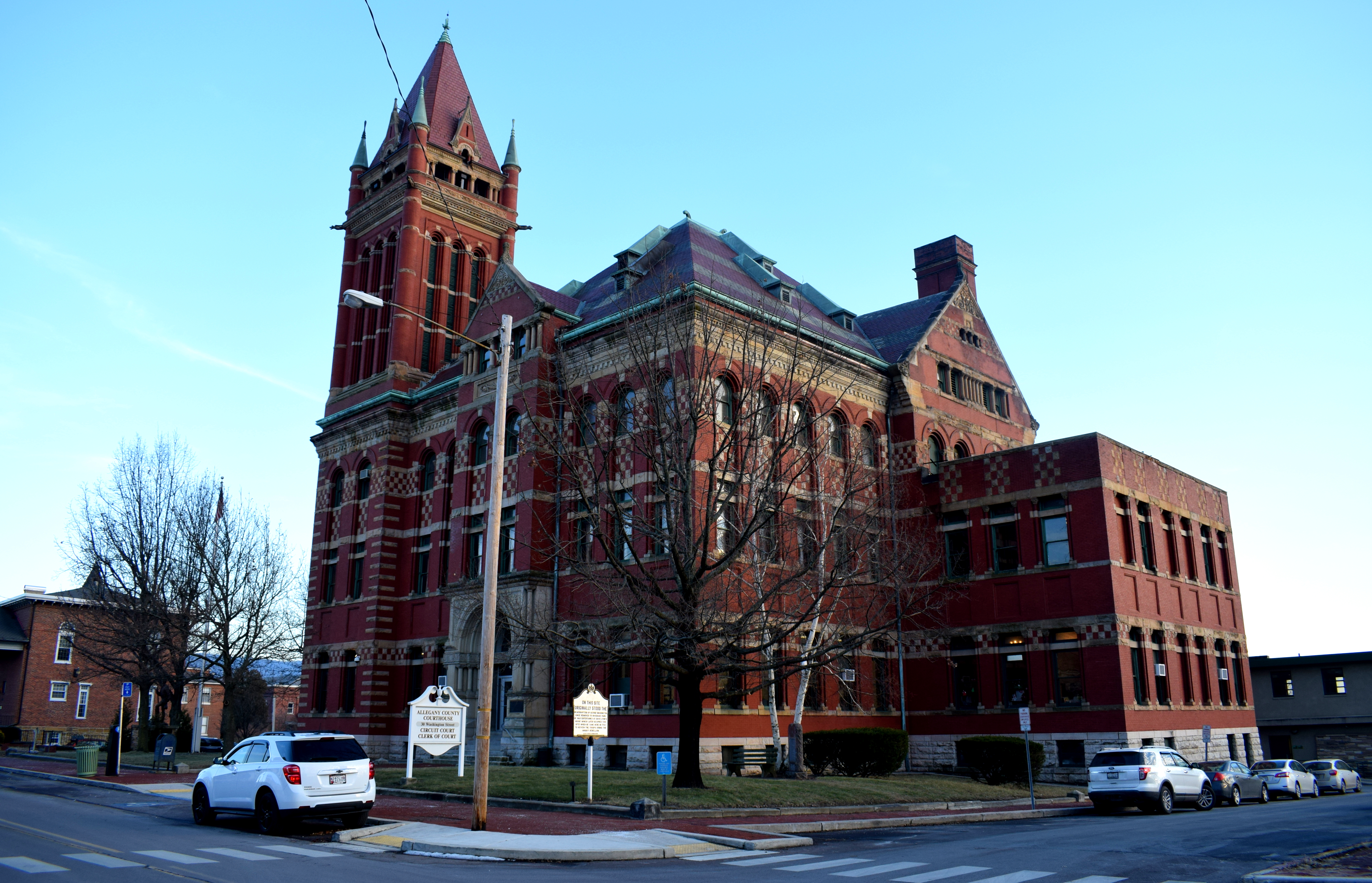 Historic houses in the center, built in the late 1800’s.
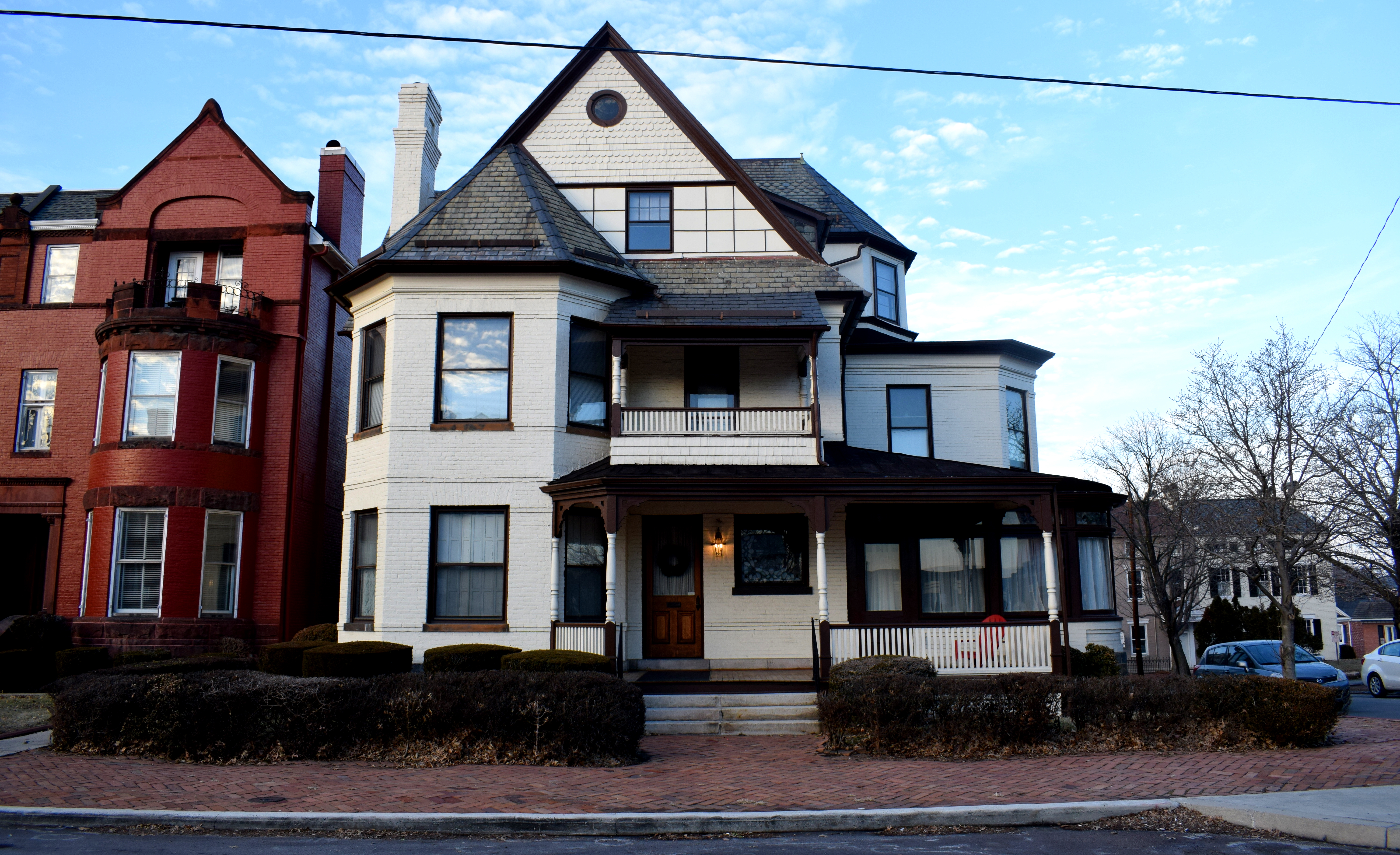
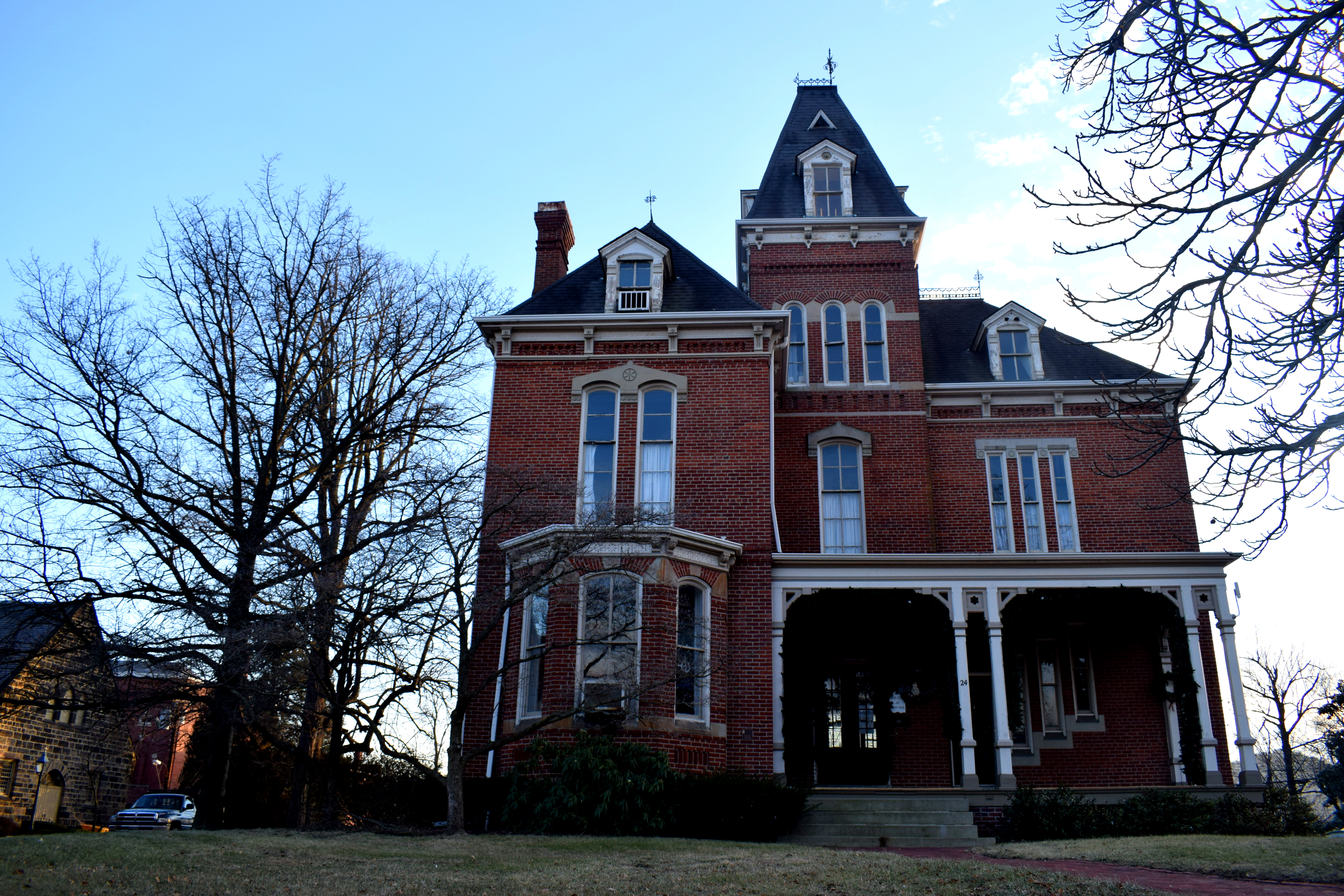 Around the top of the hill.
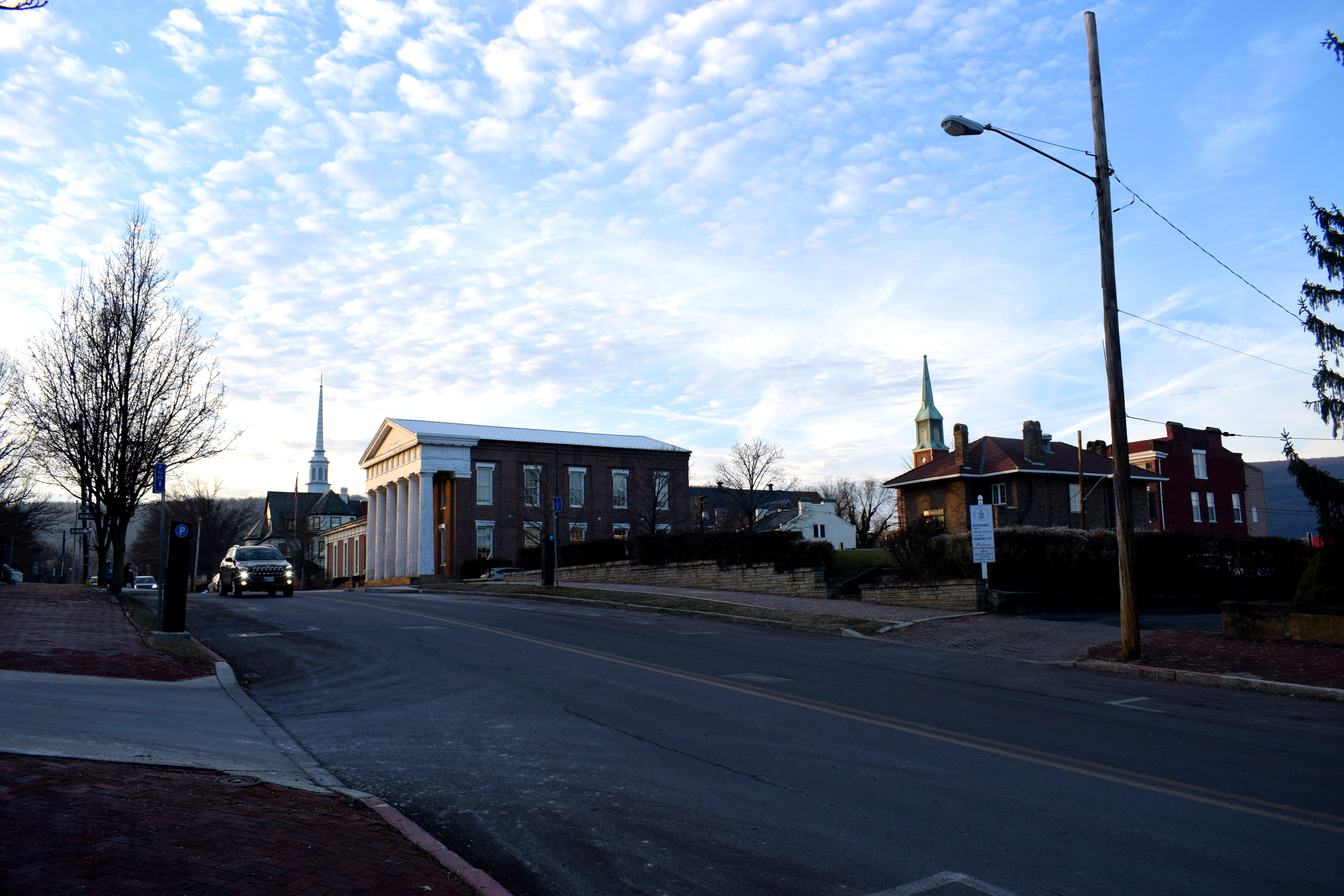 The Emmanuel Episcopal Church in Cumberland, built in 1851. The hilltop on which the church is located was originally a trading post operated by the Ohio Company. Cumberland was a strategic city because of its proximity to the Potomac River, the only waterway that passed through the Appalachian Mountains to the Midwest and Ohio.
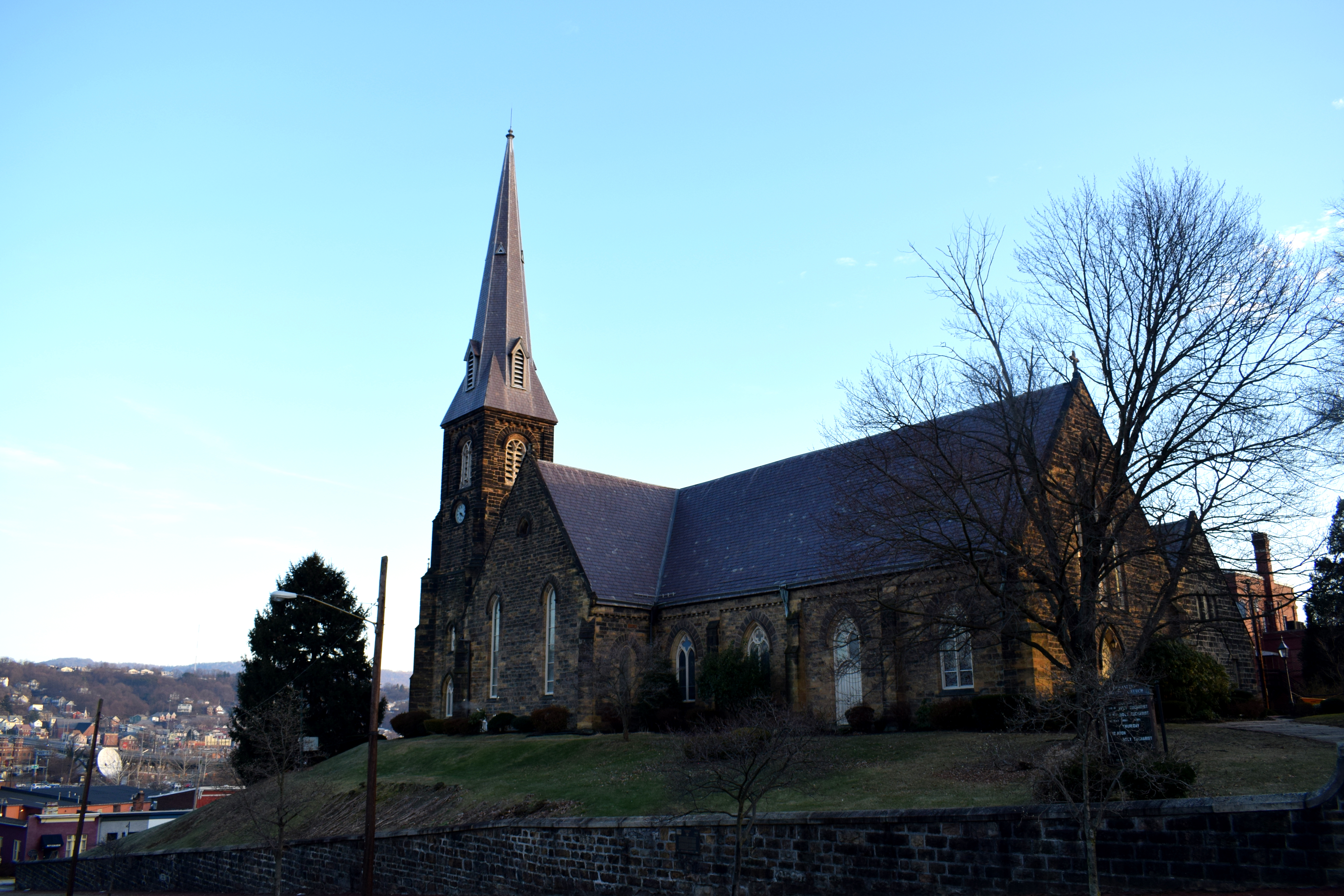 Cumberland’s canal. In the 1800’s canals were the main form of transport in the United States, alongside railroads. Later on highways would develop. In the distance you can see the American interstate highway 68 which passes right by Cumberland, ruining some of the historic views of the city.
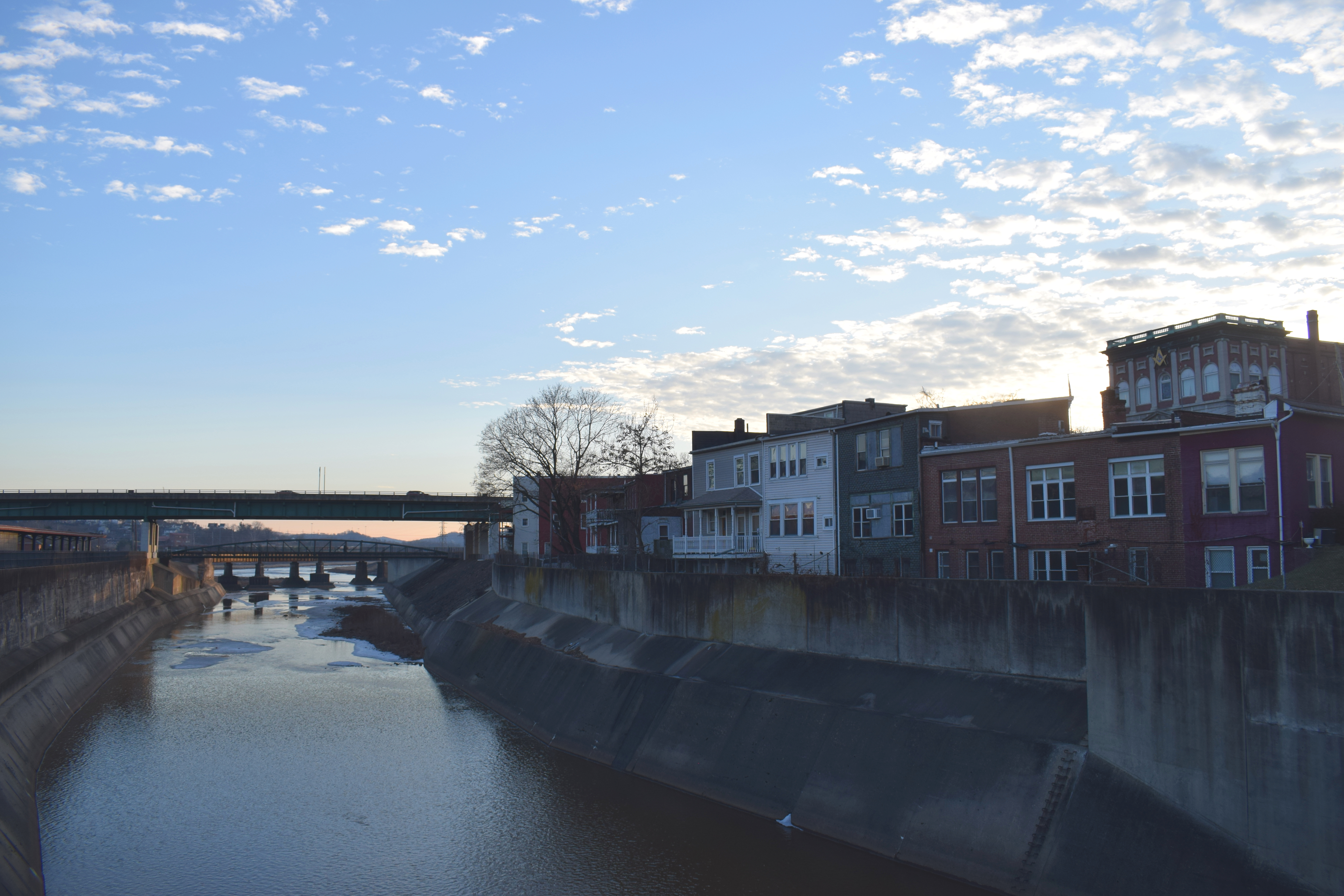 The Western Maryland railway tracks still divide the city in two.
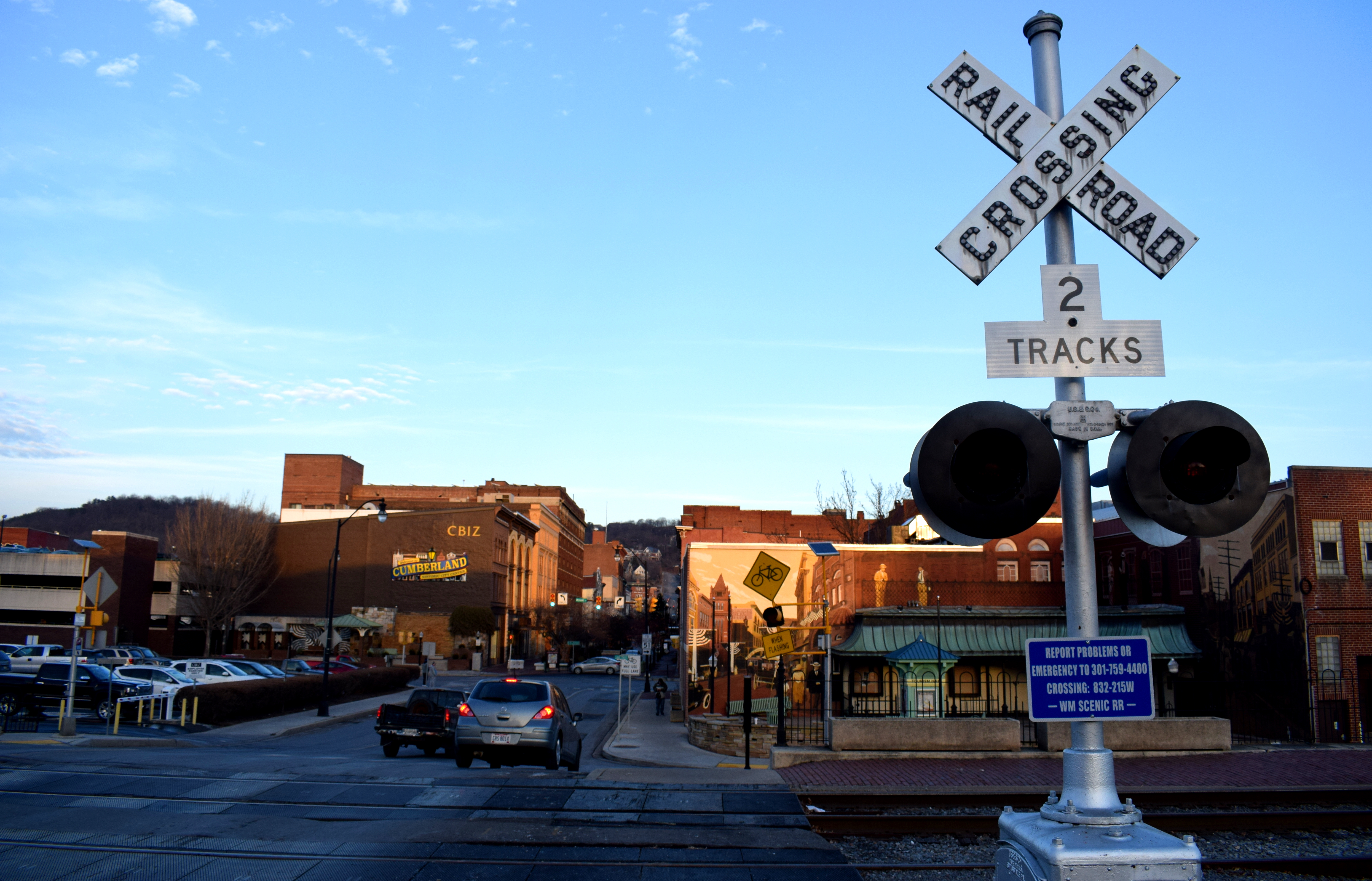 Cumberland’s old train station. Although the old railway tracks are not used on a regular basis anymore, the city recently set up a railway trip for tourists called the Western Maryland Scenic Railroad. The tour follows the old route that the Western Maryland Railway took through the Appalachian mountains in the 19th century and early 20th century, connecting Cumberland with the small town of Frostburg. It allows people to get a sense of what it used to be like to travel in the United States by rail before cars took over.
 The railway station today.
 Baltimore Street, Cumberland’s historic downtown area. Baltimore Street is a full-scale pedestrian street closed off for cars, just like they have in Europe.
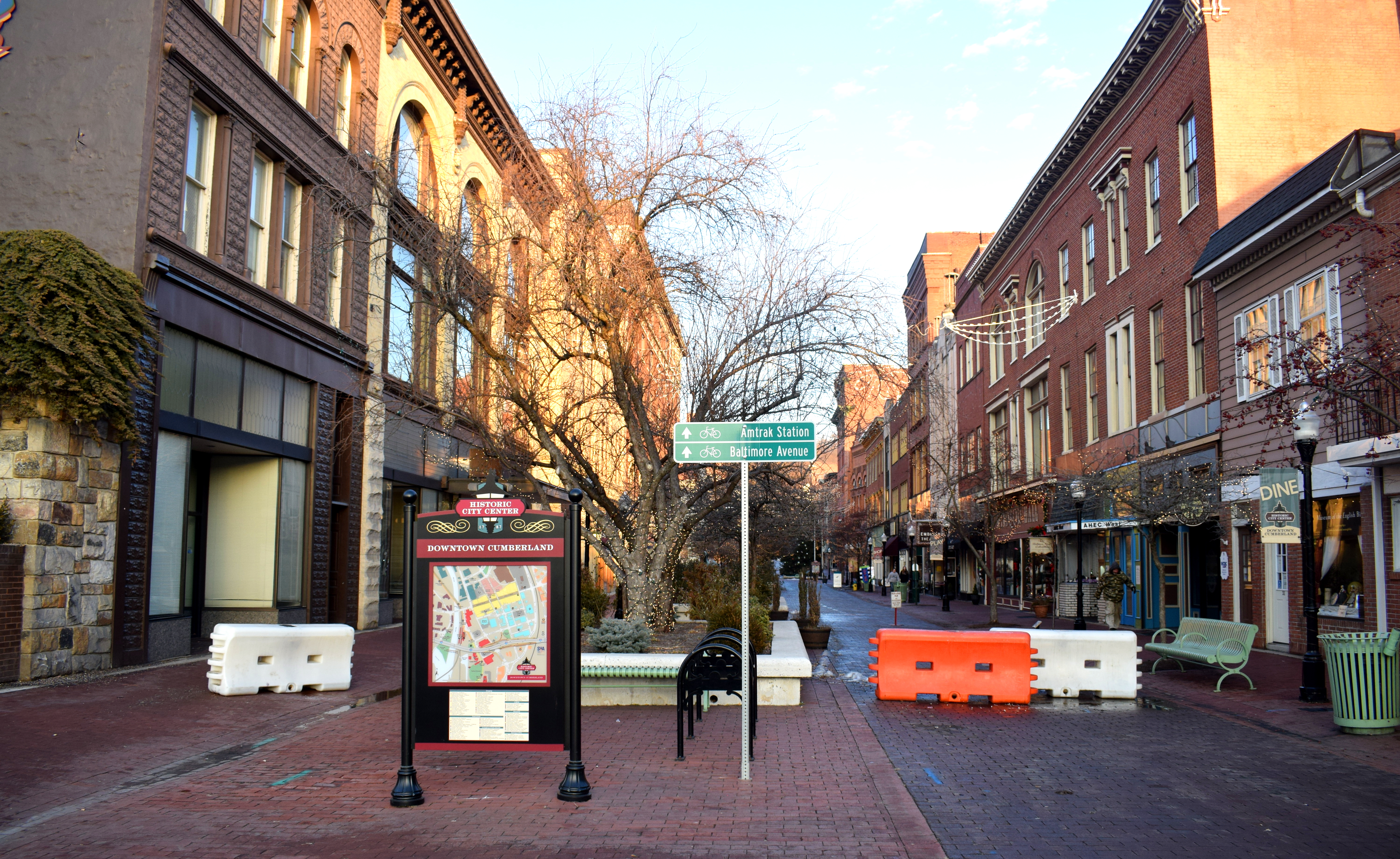 It is a model street other small cities in the United States could replicate such as
 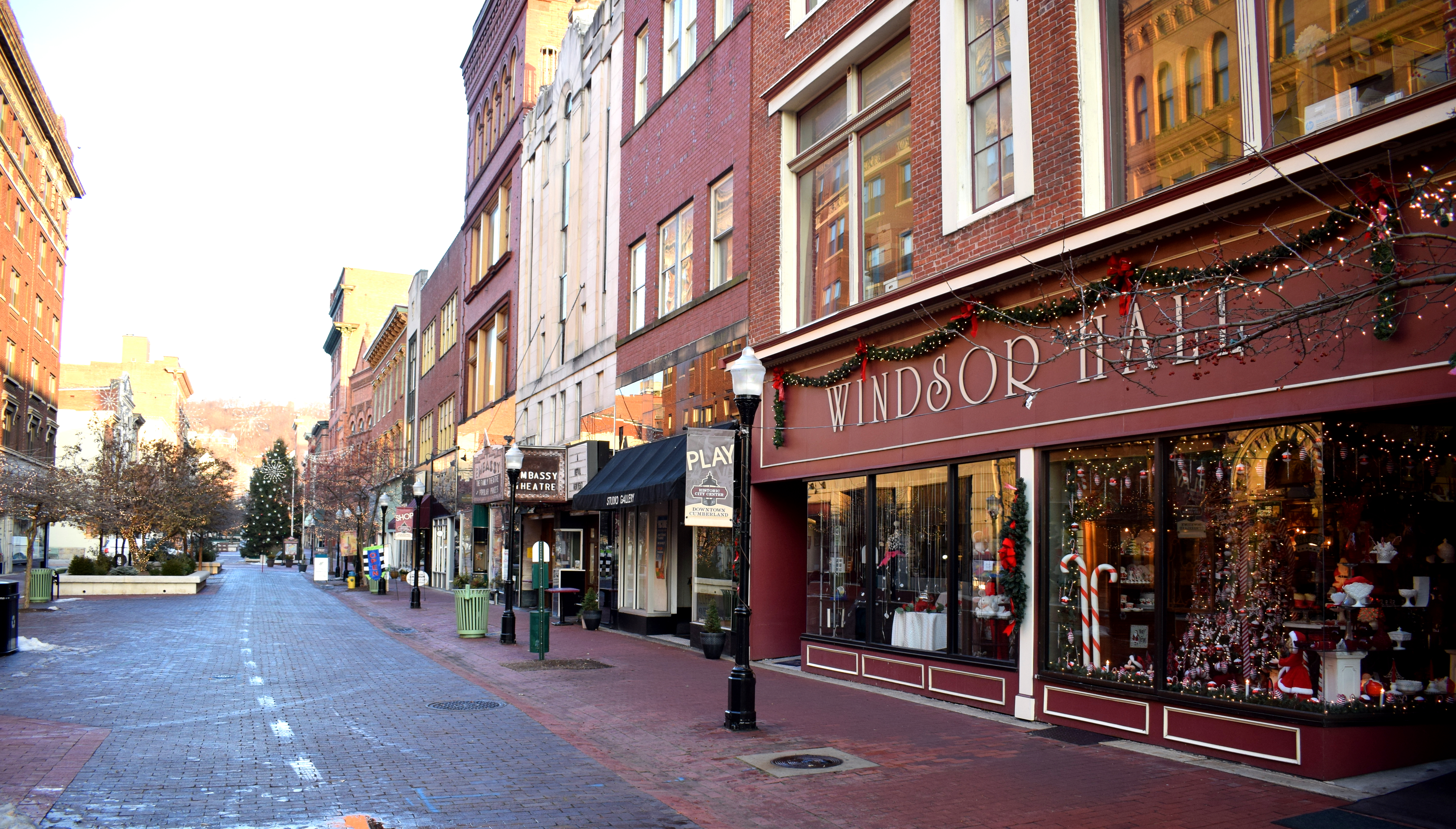 There was even an old school theater on the street with ticket windows on the outside.
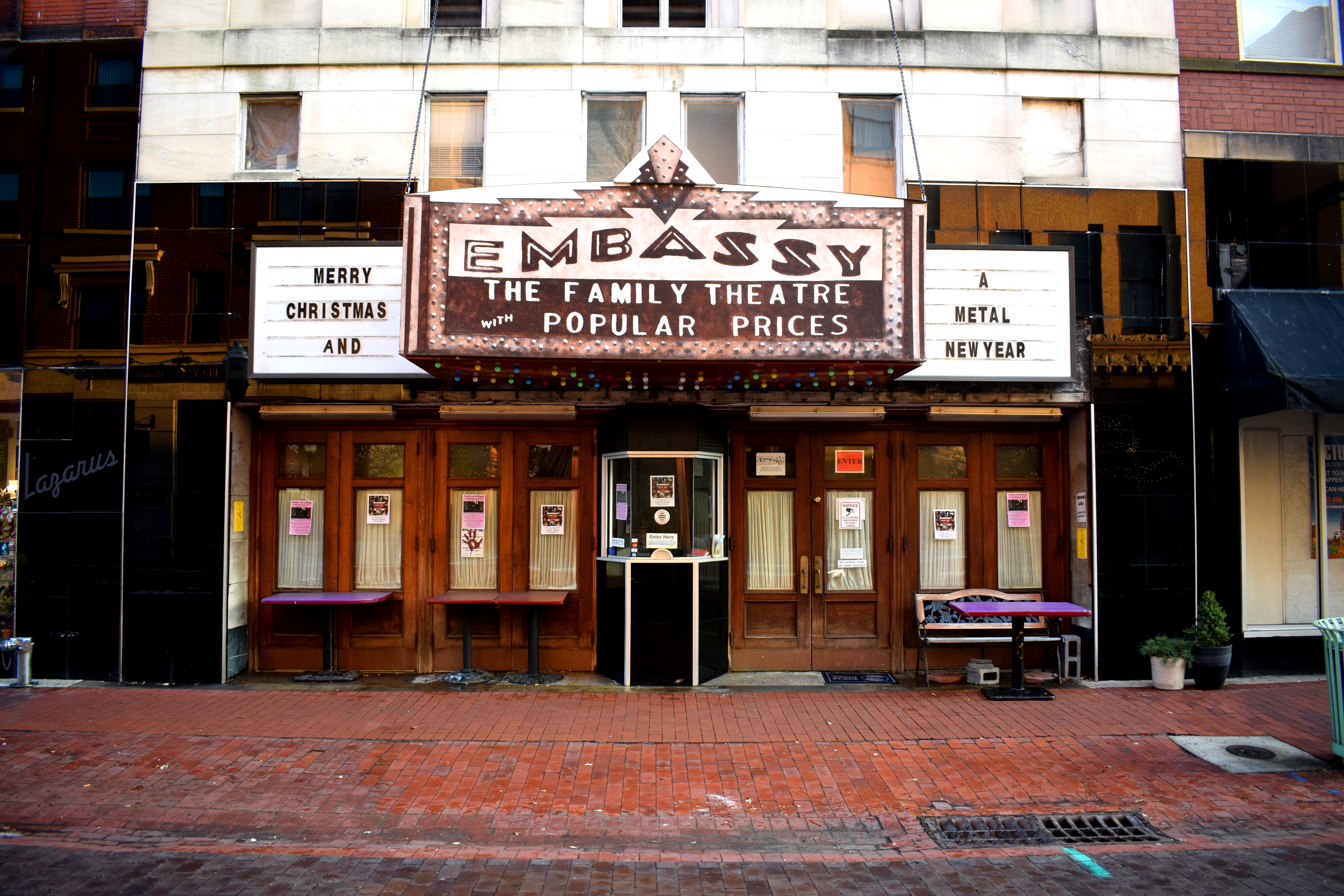
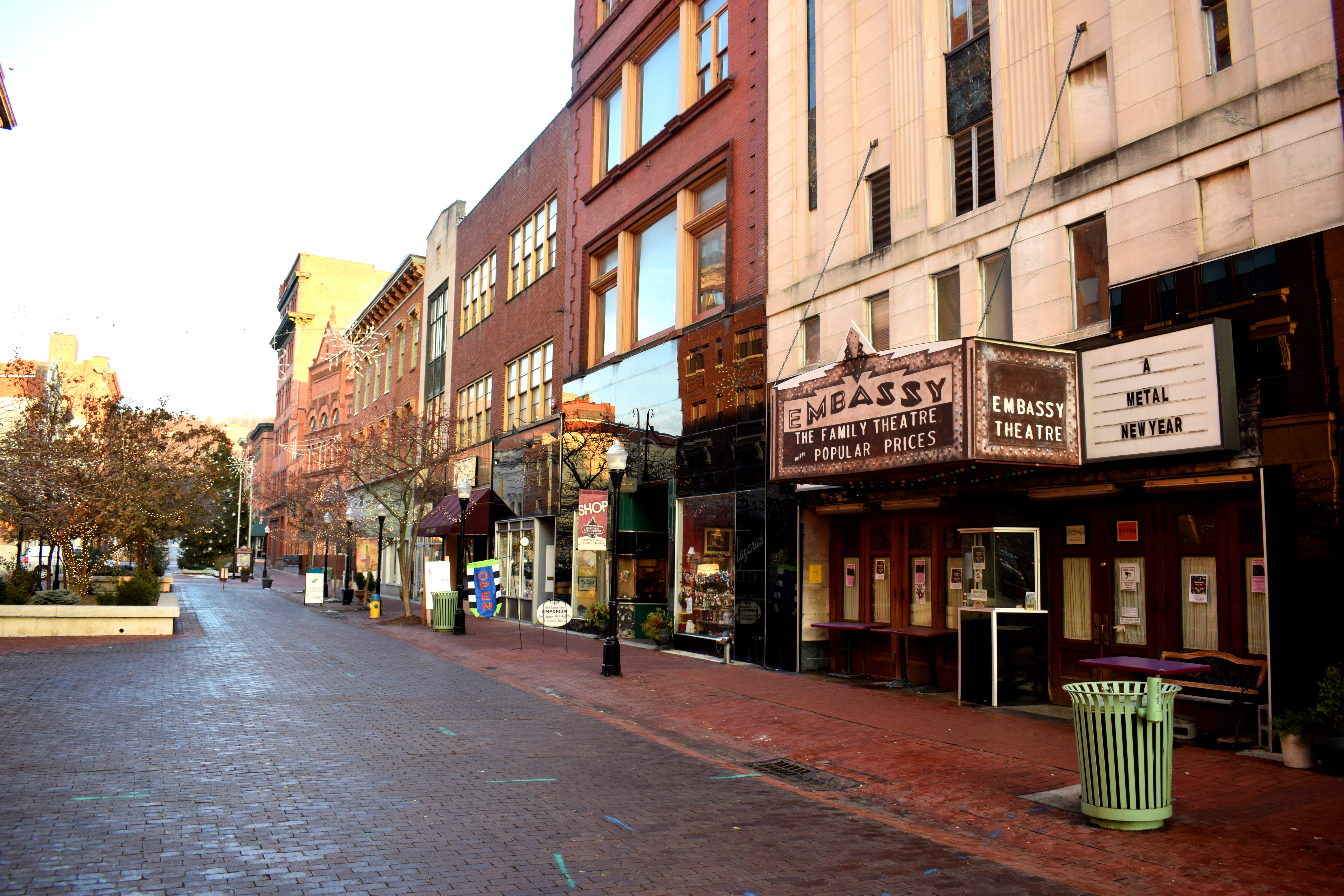 The street had an impressive collection of old 19th century and early 20th century buildings reflecting the prosperity that was once present in the city.
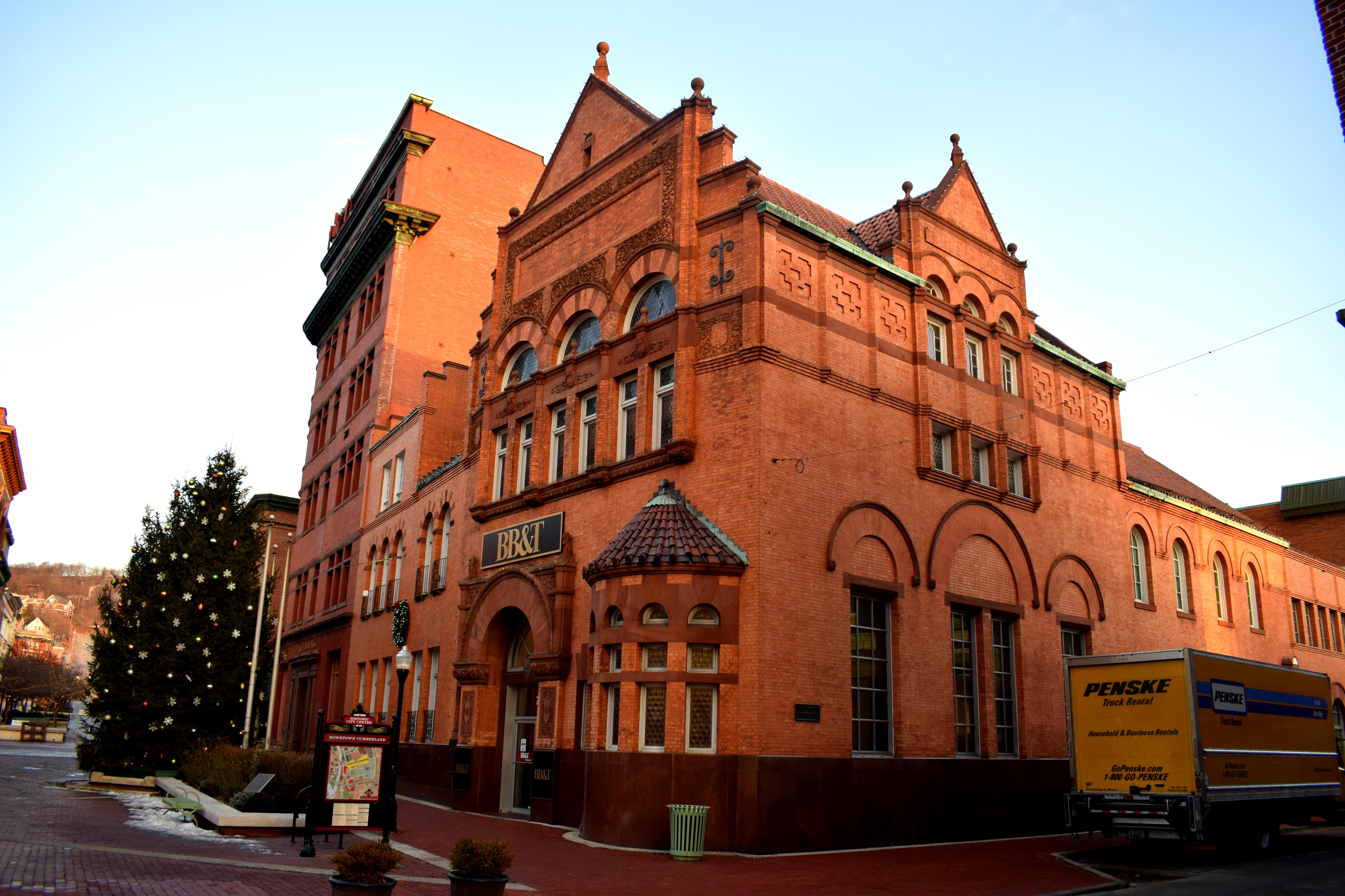
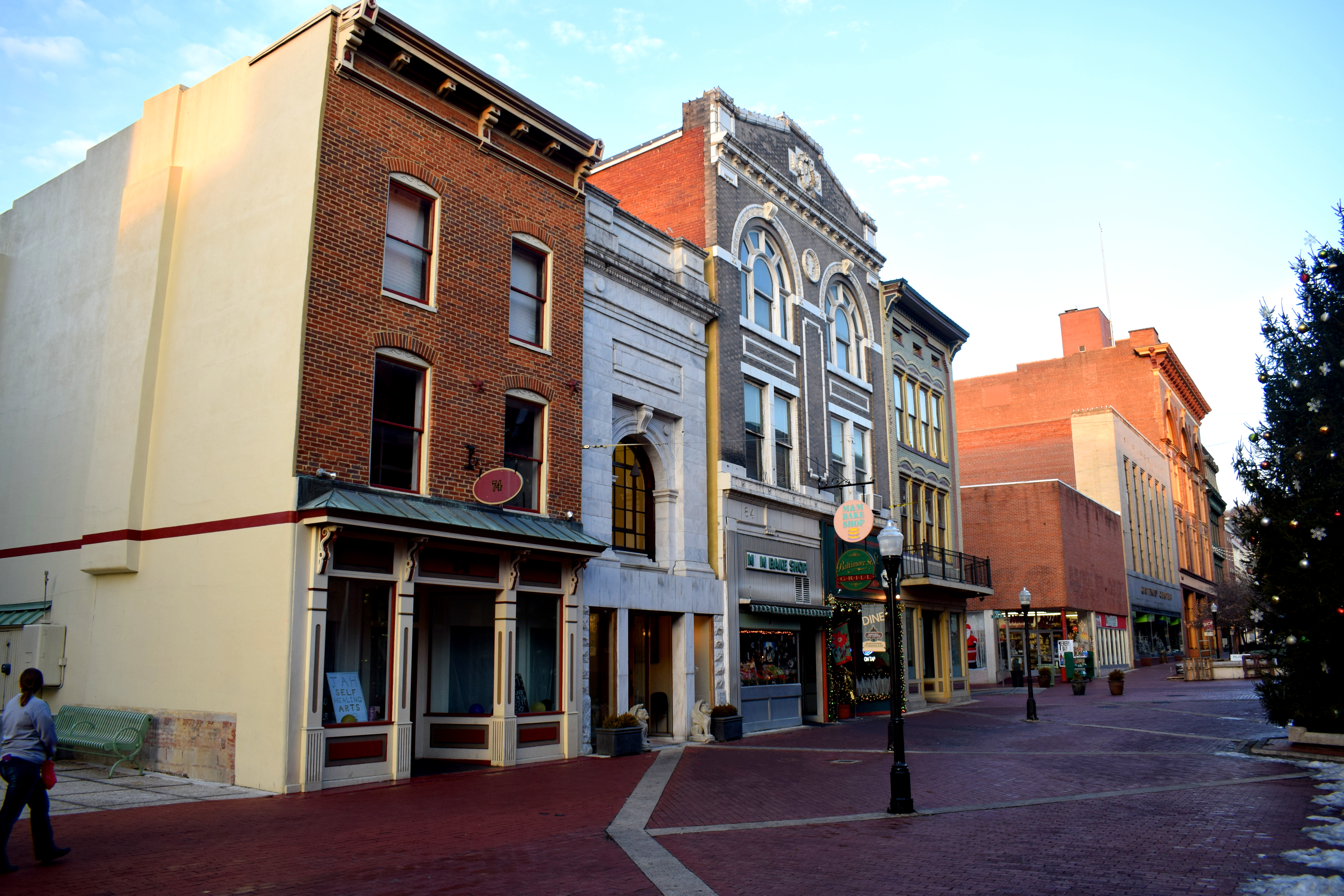 The Susquehanna Bank Building, the second oldest bank in Maryland, chartered in 1812.
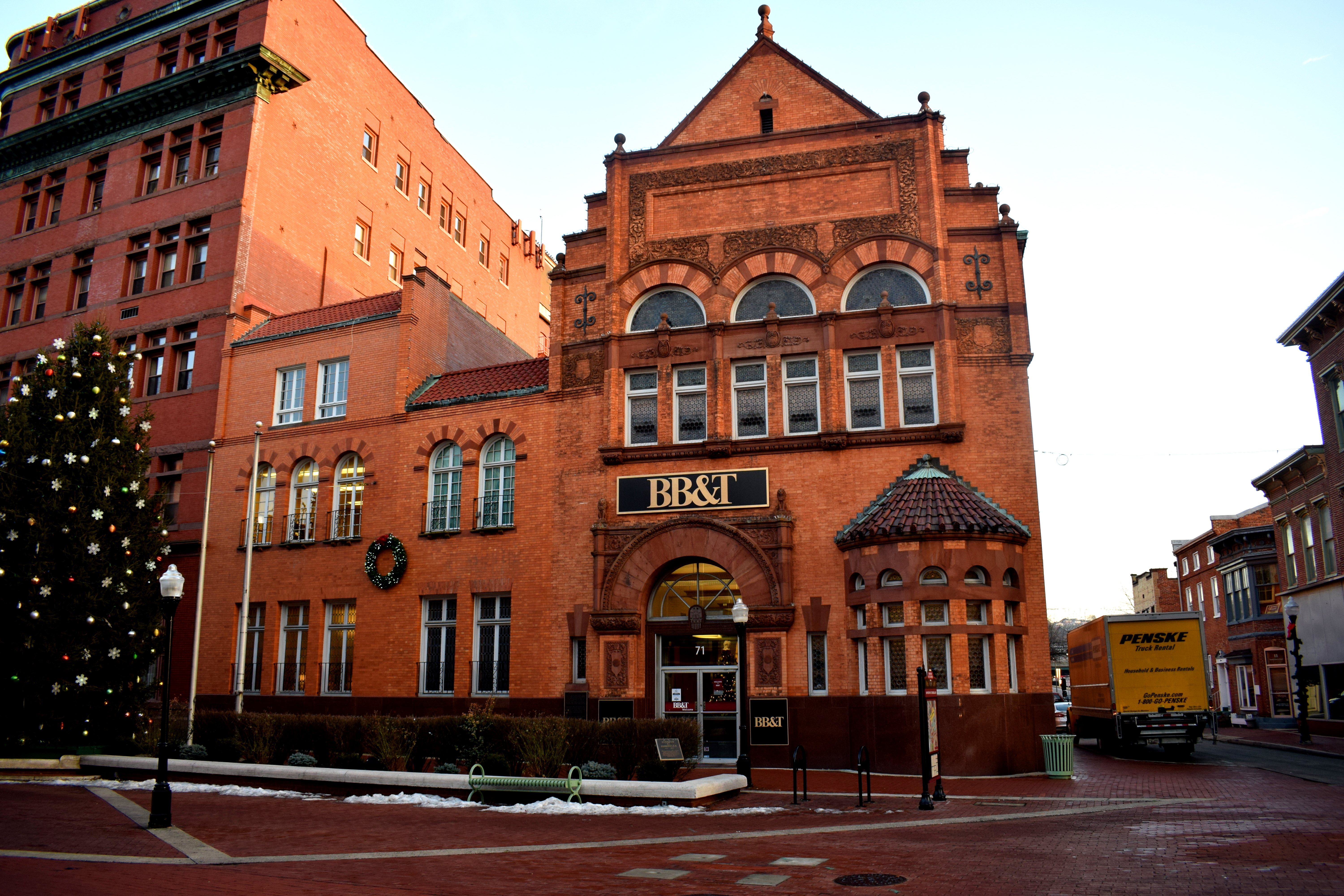 For most of the 20th century the street was open to traffic, but in the 1970’s the city decided to close it off for cars and turn it into a full scale pedestrian zone.
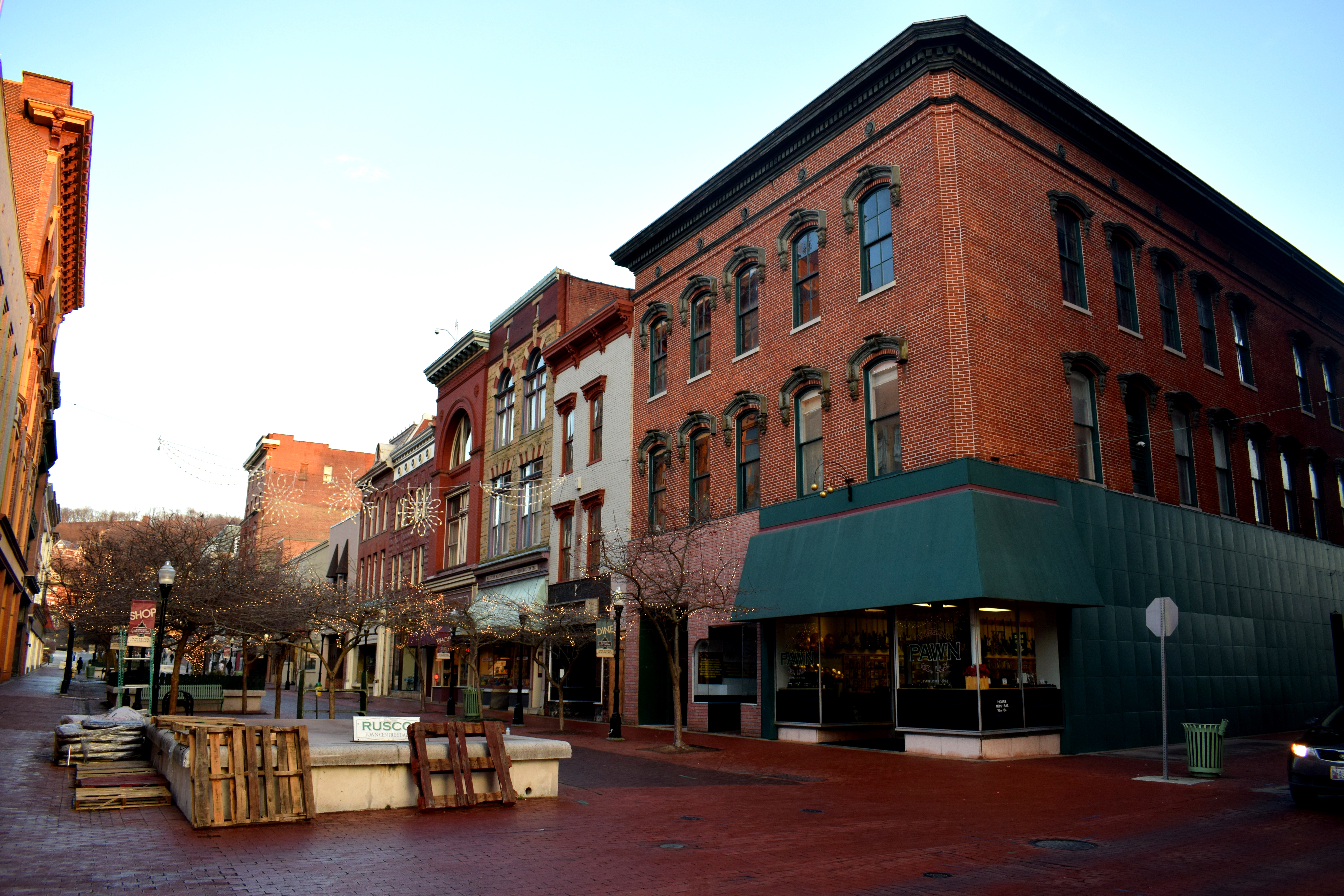 Today it is a perfect example of how American cities can convert their central districts into beautiful pedestrian areas and capture the same vibrancy that European cities have.
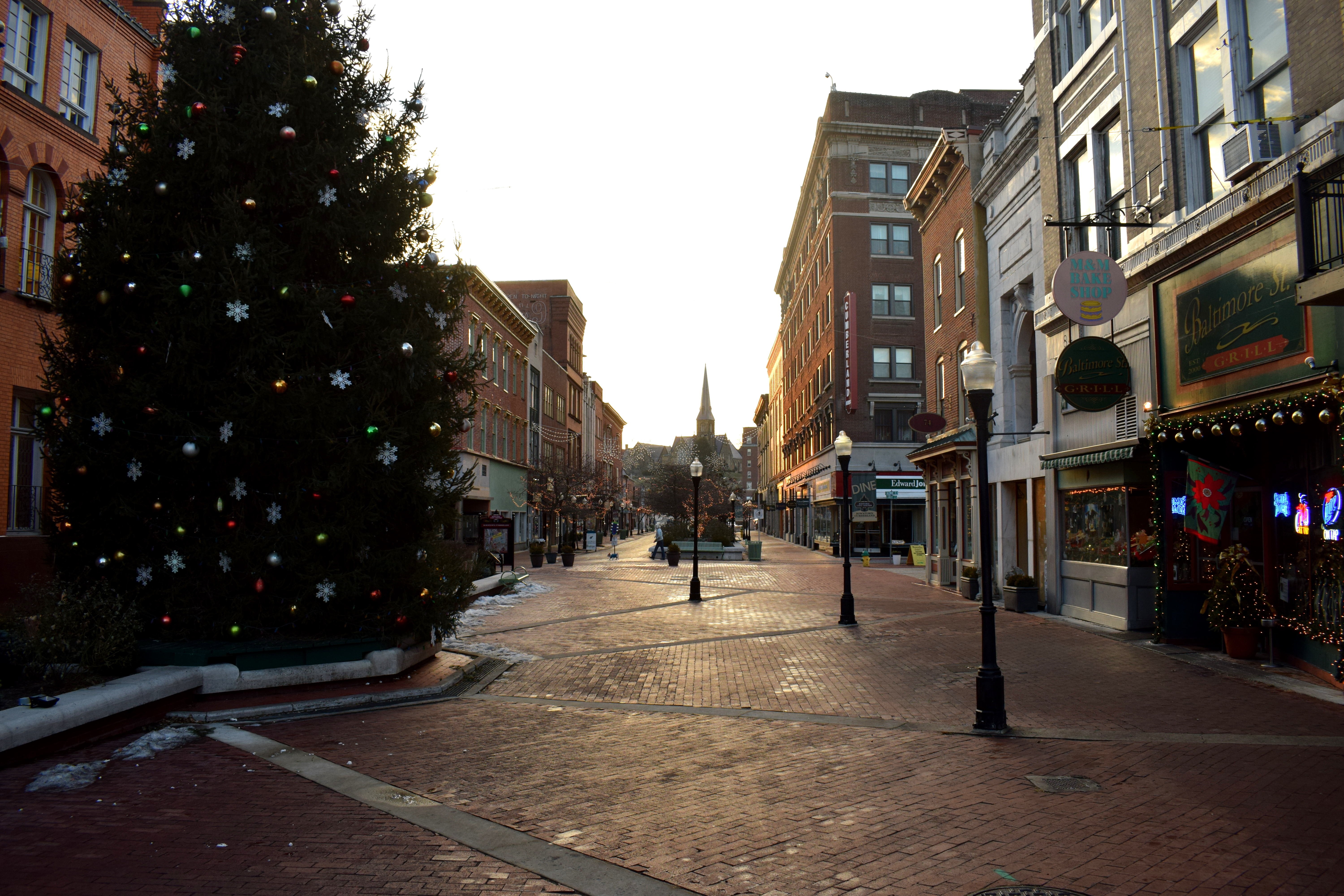 Cities like Washington D.C. and New York which pride themselves on being so international haven’t even managed to build any proper functioning pedestrian only streets. It comes down to small cities like Cumberland to take the initiative.
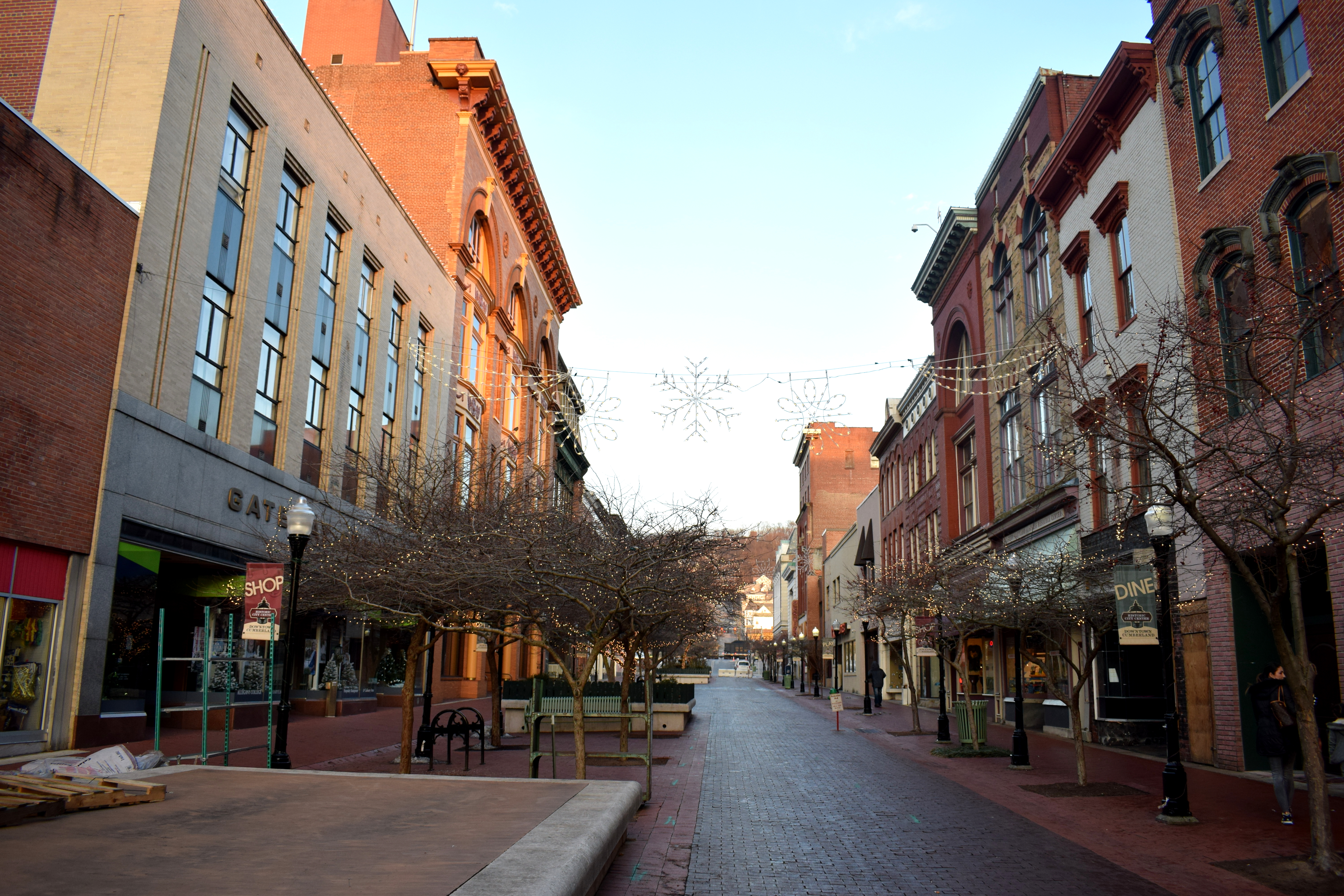 One problem with the street was that because it was so cold it remained empty with very few people walking. It just goes to show that pedestrianizing streets in the center of cities is not enough to get Americans to stop using cars. One lady even said that some businesses were lobbying to have the street opened up to traffic again, claiming that fewer people visit their stores because they have to park so far away and walk.
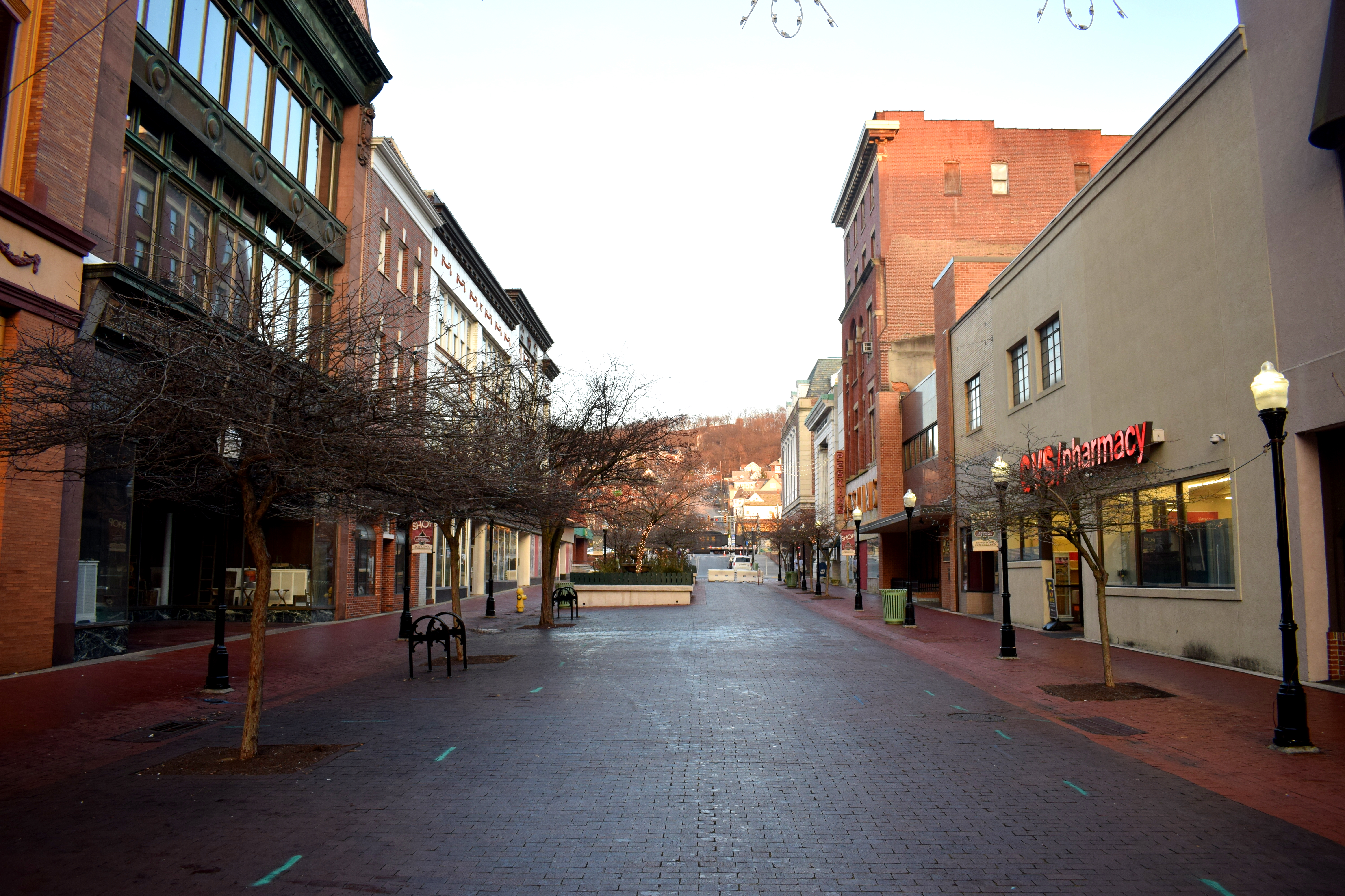 As if to reinforce the point that the street is off limits to cars, roadblocks have been added.
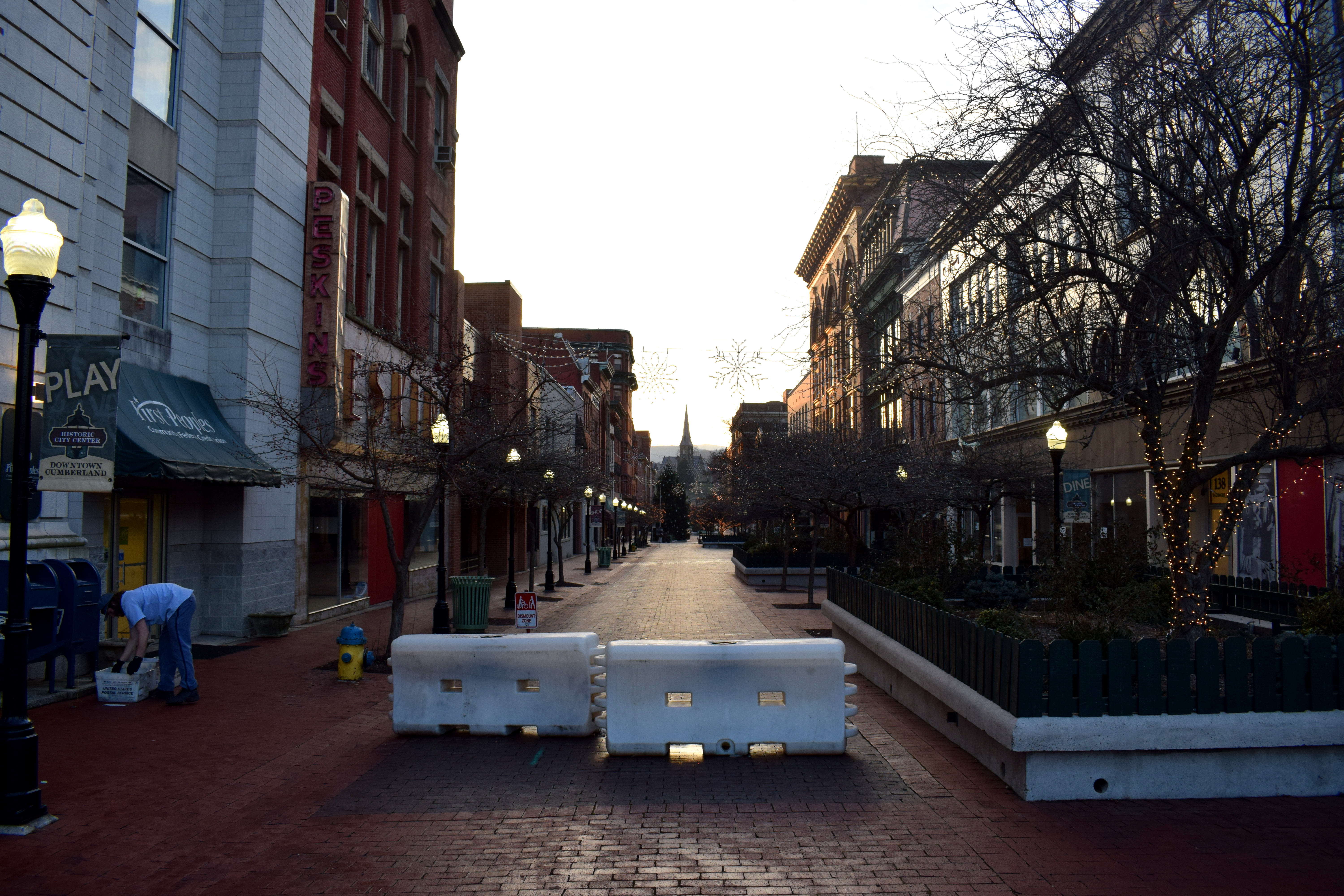 Cyclists are also required to walk their bicycles instead of riding through.
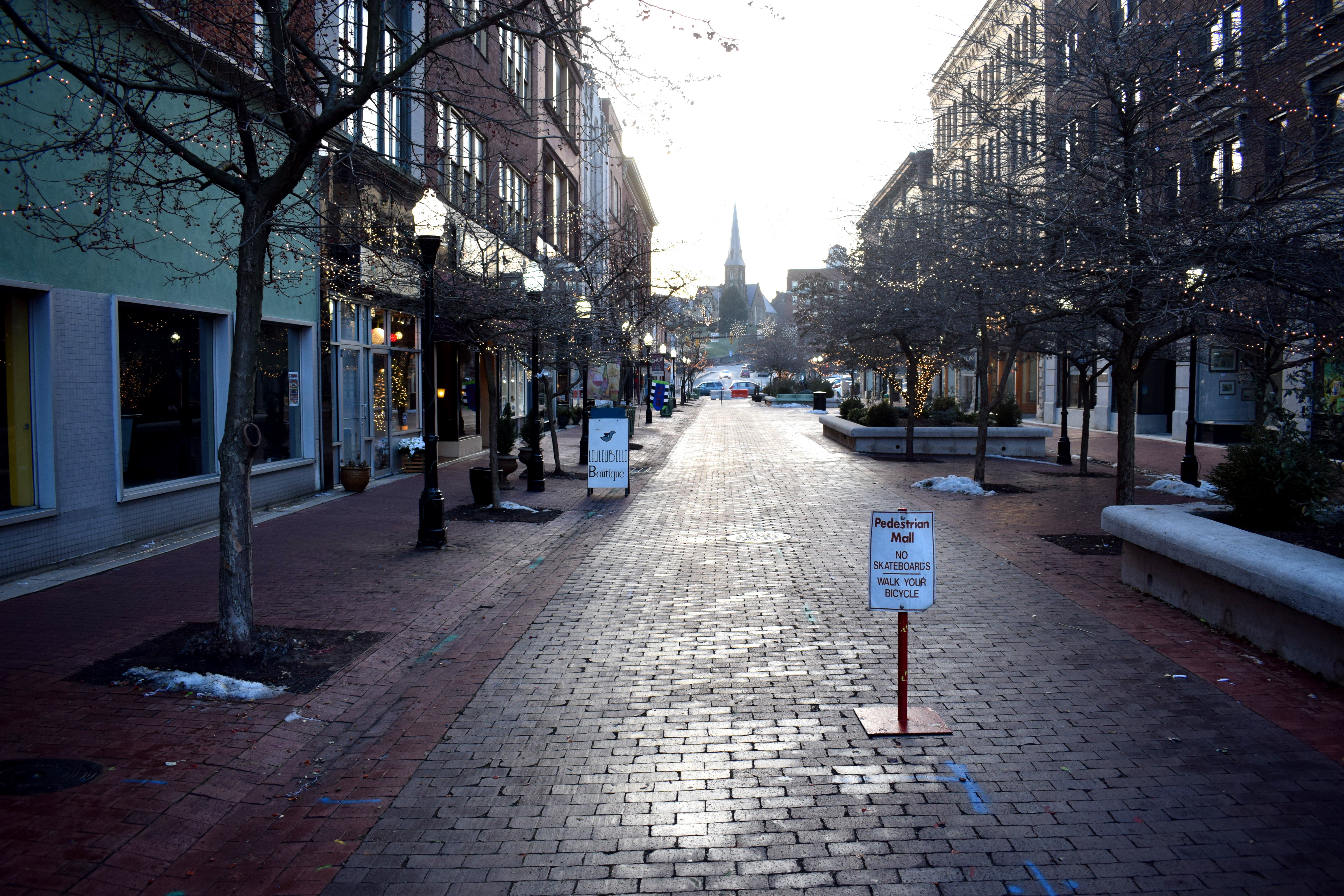 Despite some drawbacks, Baltimore Street remains a major achievement and can be cited as an example of how cities can successfully pedestrianize their central districts and create a tourist attraction. Towns like Frederick and Hagerstown in Maryland have similar streets with beautiful buildings but have yet to fully pedestrianize them. They should follow Cumberland’s example.
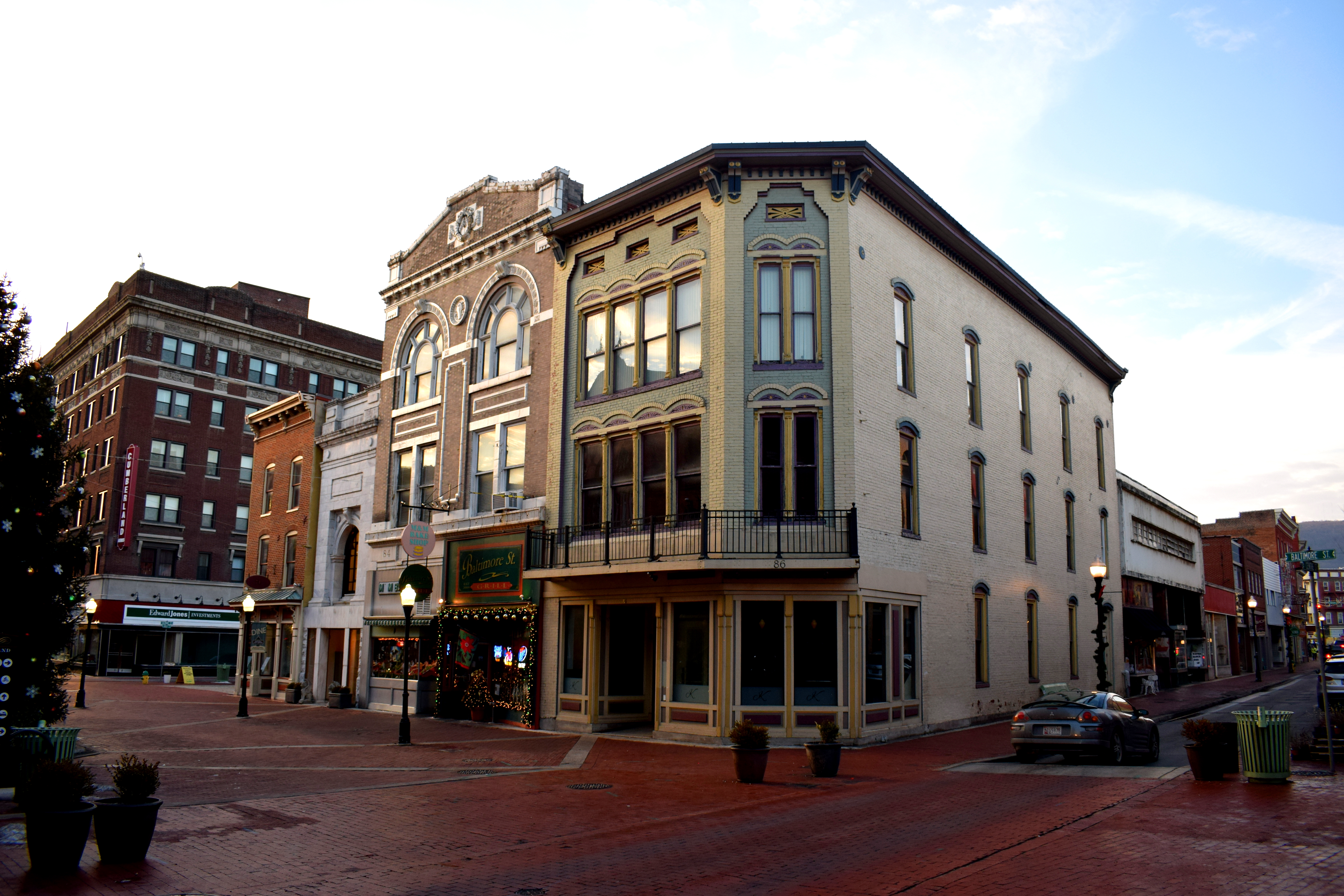 Examples of local businesses on the street. A local bar and bakery.
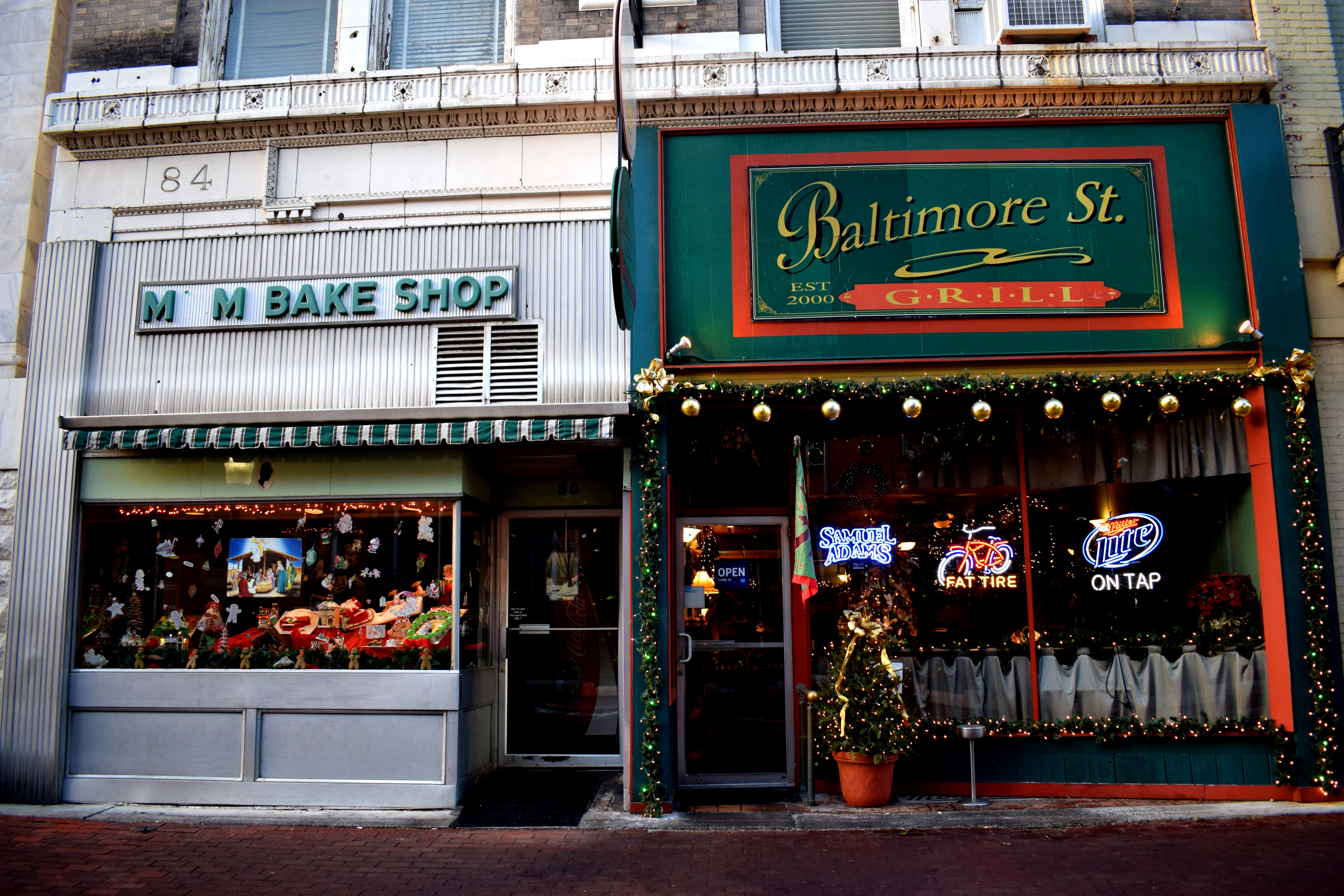 A guitar shop.
 The Embassy Theater again.
 The entrance to the old town.
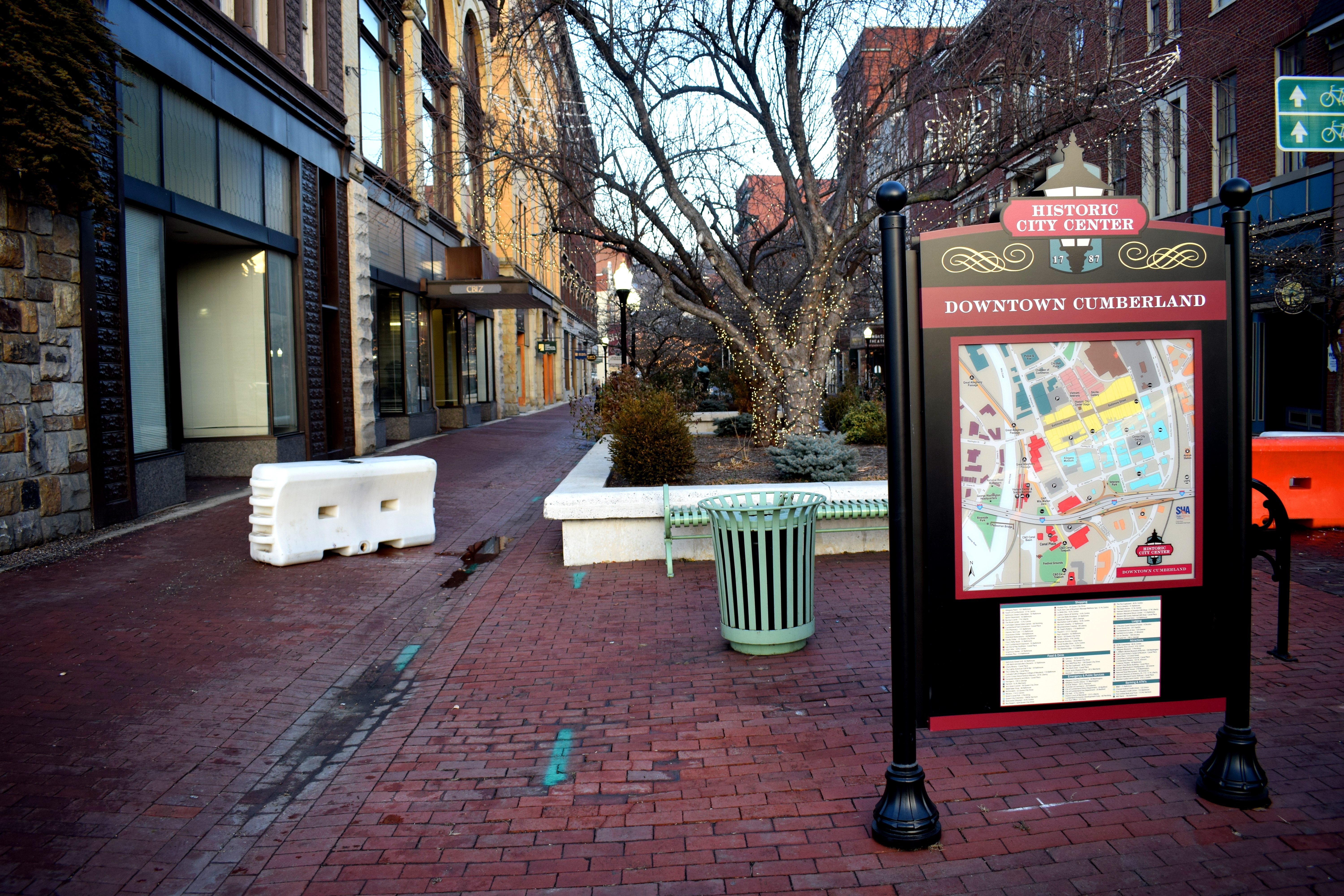
 In sum, Cumberland is another beautiful small town in Maryland, a little further out from Washington DC in the Appalachian mountains, but still a relatively short day trip away. Just like Frederick and Hagerstown, Cumberland is a civil war town that could market itself as an attractive tourist destination for Americans interested in the country’s history.
 We took a bus from Sarajevo to get to Uzice. Although the two cities look close on a map, the road passes through some of the steepest mountains in the Balkans so the trip took four hours.
 In addition to the coffee, we also got to try mouthwatering smoked lamb, or ‘janjetina’ as locals call it. Smoked lamb is a traditional meal in the Balkans and is served with meat and more meat. Vegans beware.
 When we arrived at Uzice we were dropped off next to a picturesque river near the central bus station.
 This was the Djetinja River, eventually merging with the West Moraver River in Serbia and onward with the Danube.
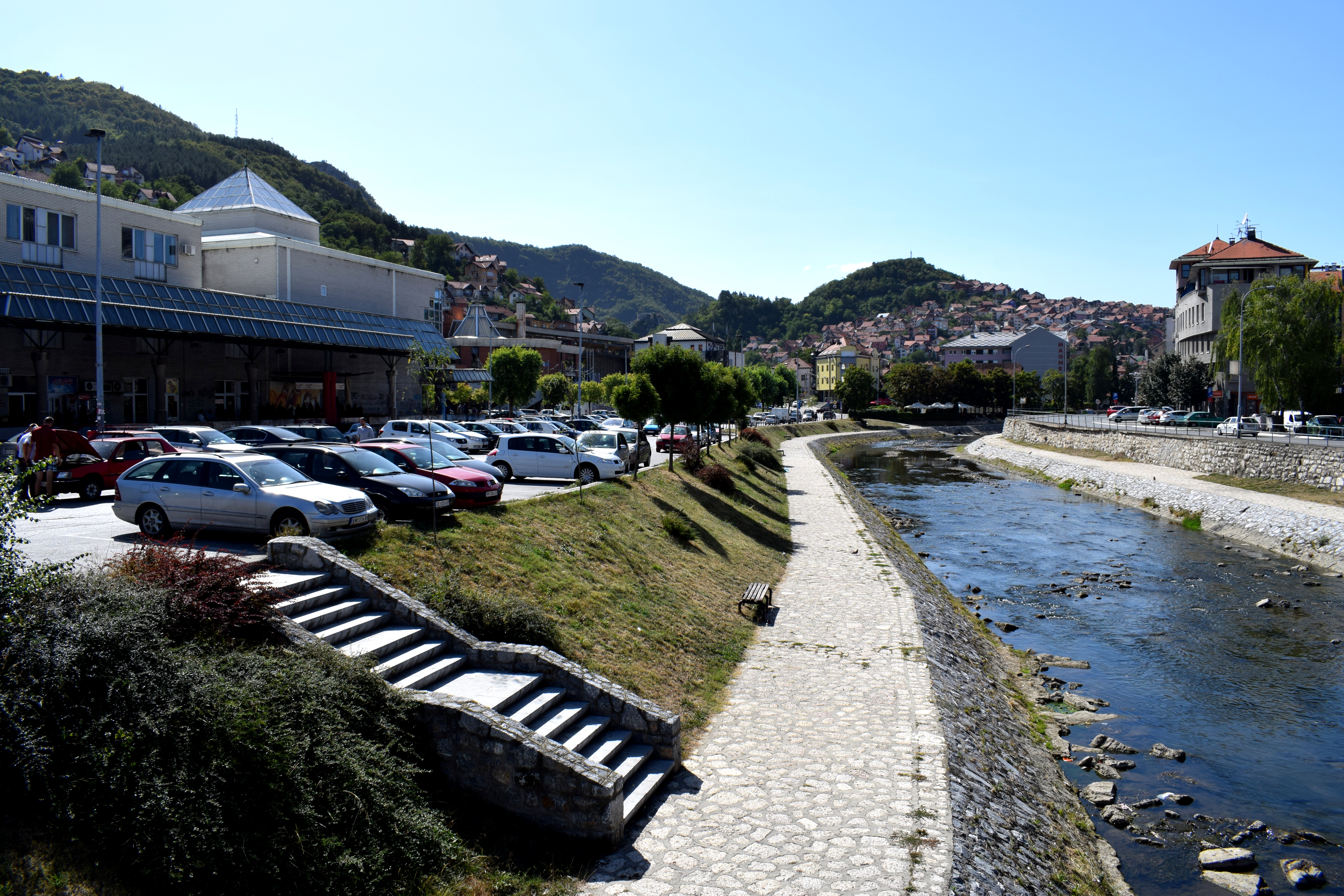 The Balkans is known for having fresh, clean water and Uzice is no exception. There were several fountains around the city which you could drink freely from.
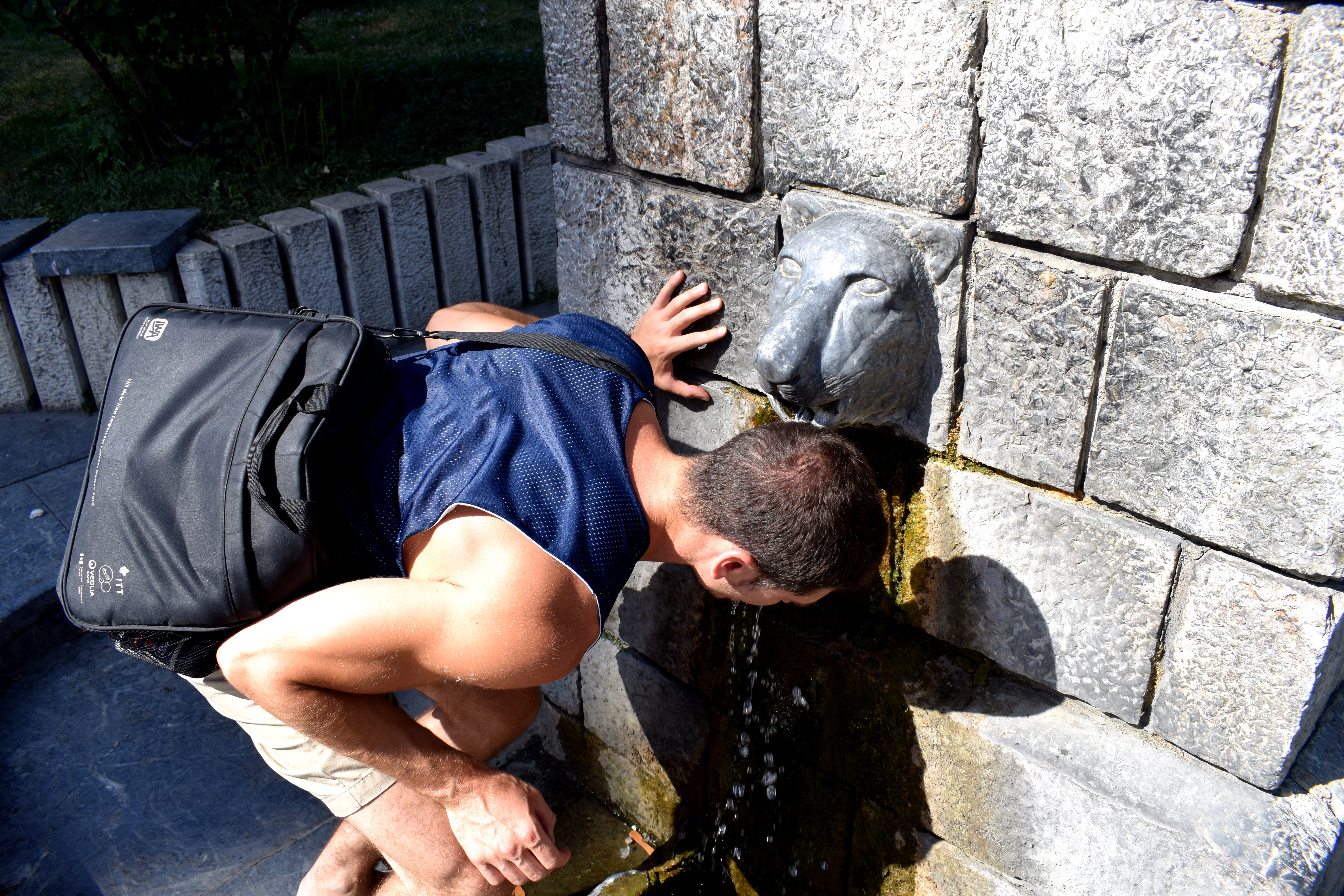 Uzice unfortunately suffered significant damage in WWII and much of the old center was destroyed. One square which survived was the Square of St. Sava, located a short walk away from the bus station. The square includes Aljo’s Fountain, built in 1900 and the Uzice Grammar School, one of the first elementary schools in Serbia, built in 1839.
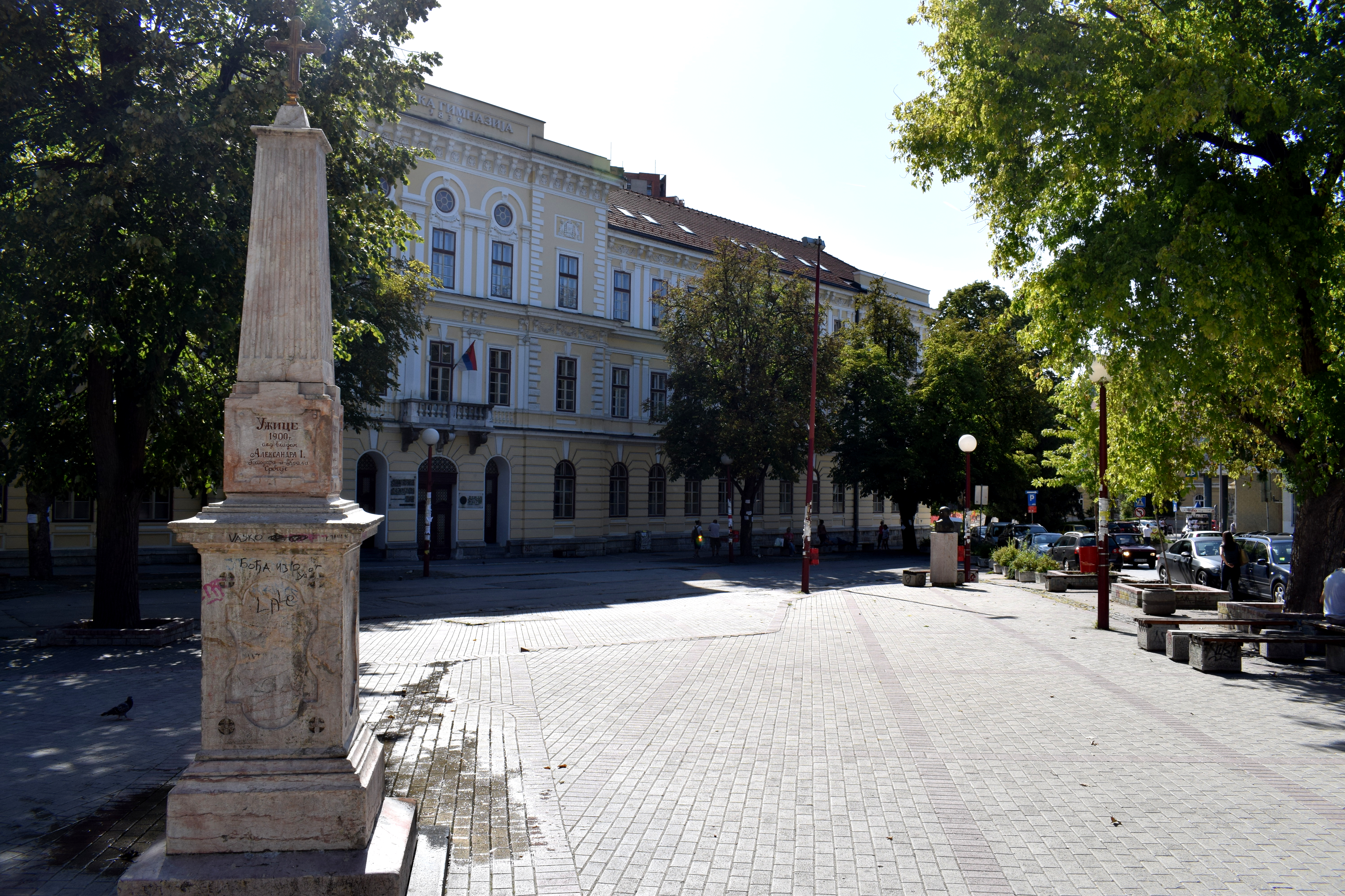 Behind the fountain is Saint George’s Cathedral, the largest Orthodox church in Uzice, built in 1842-1844.
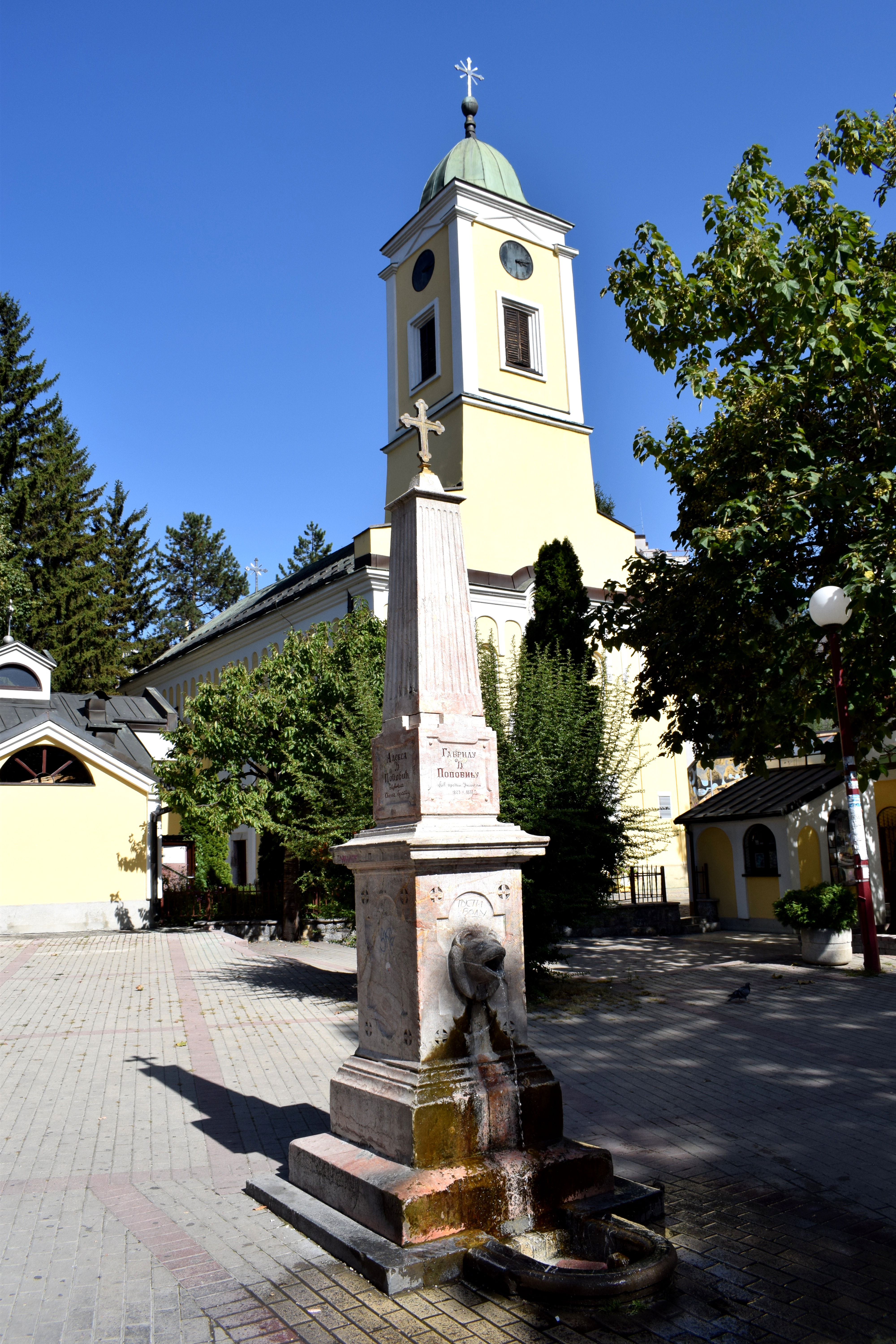 The entrance to the church.
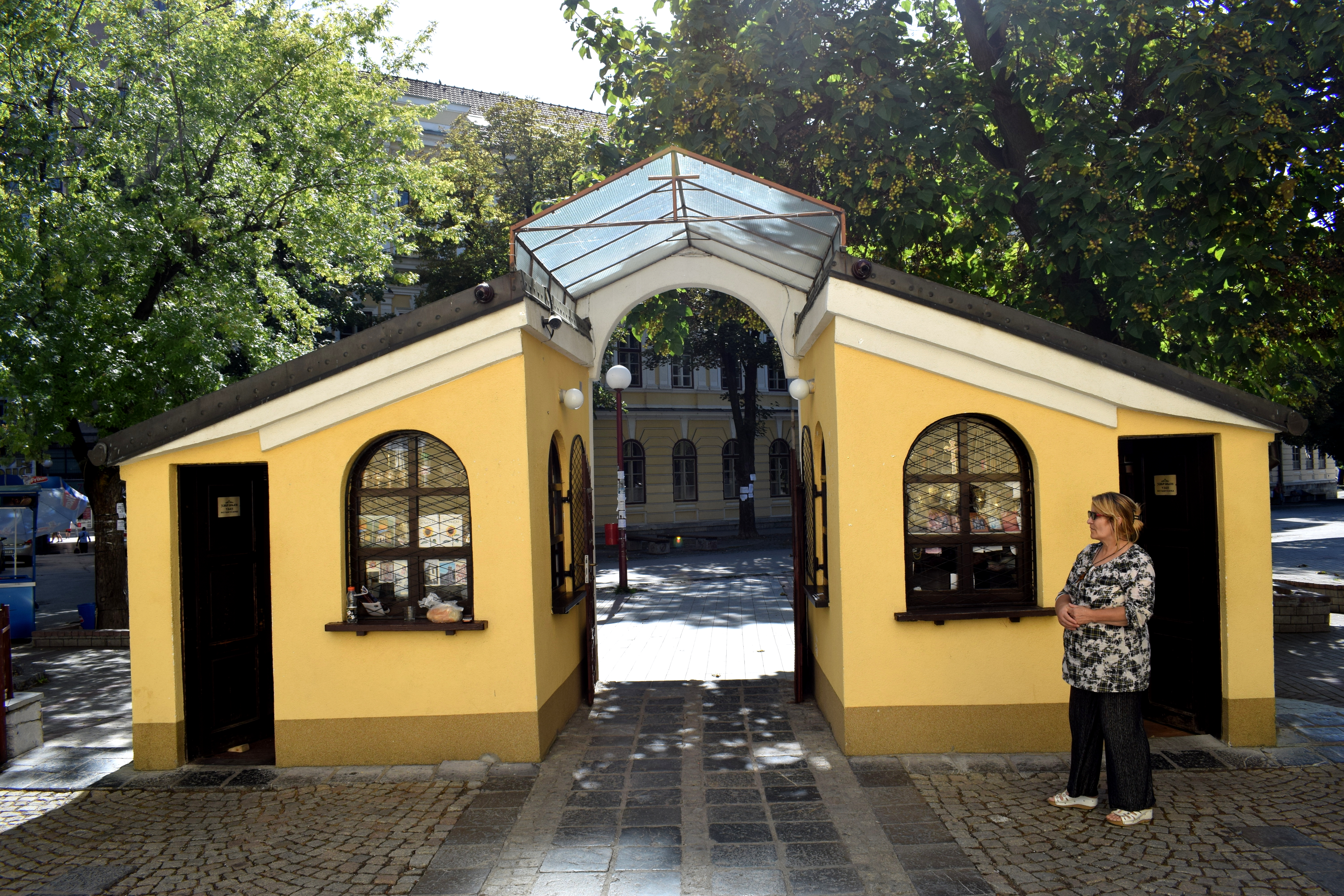 Engraved on the church’s wall is a list of soldiers from Uzice who died during the Balkan Wars (1912-1913) and WWI (1914-1918).
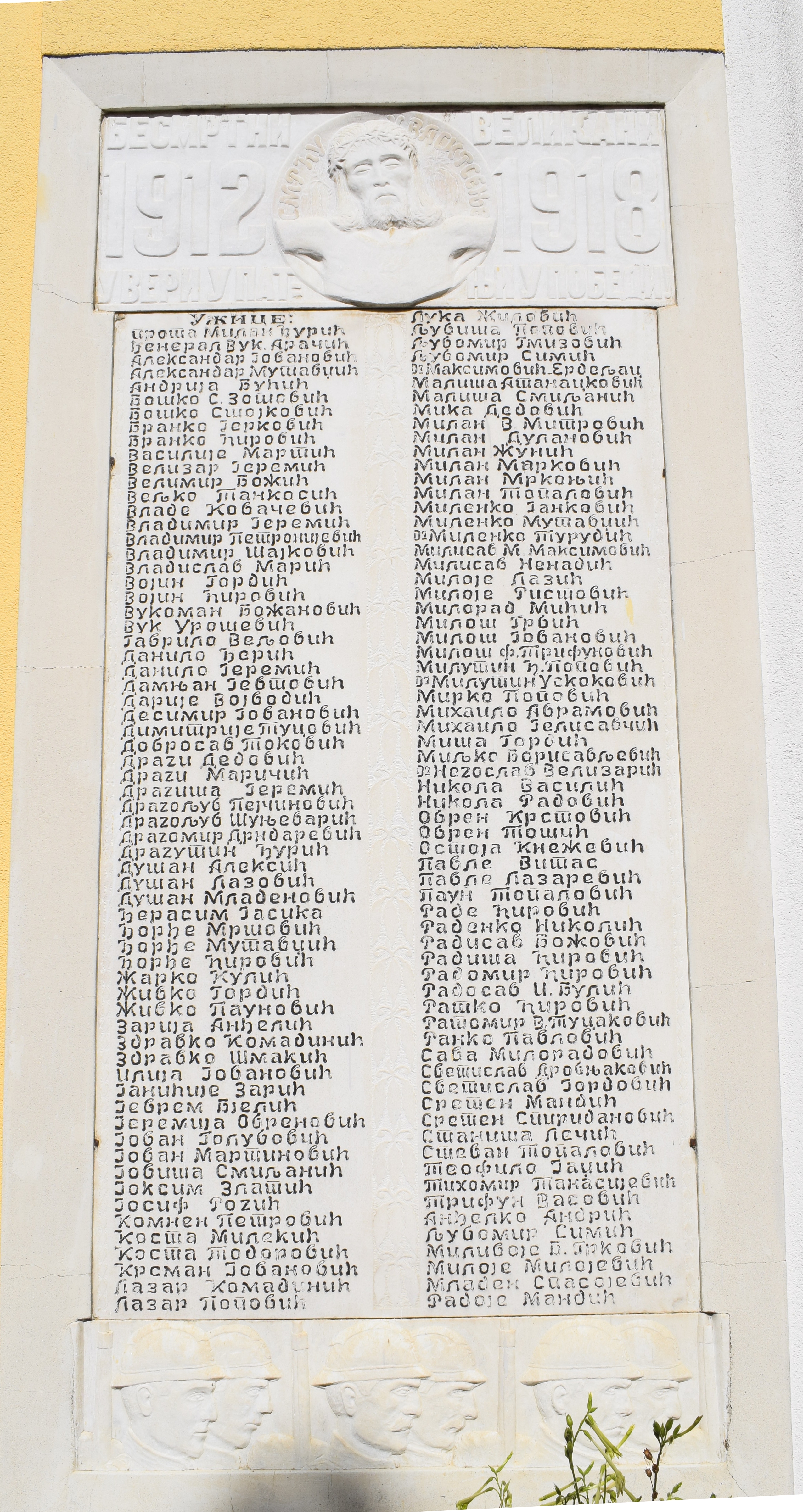 The church from the back.
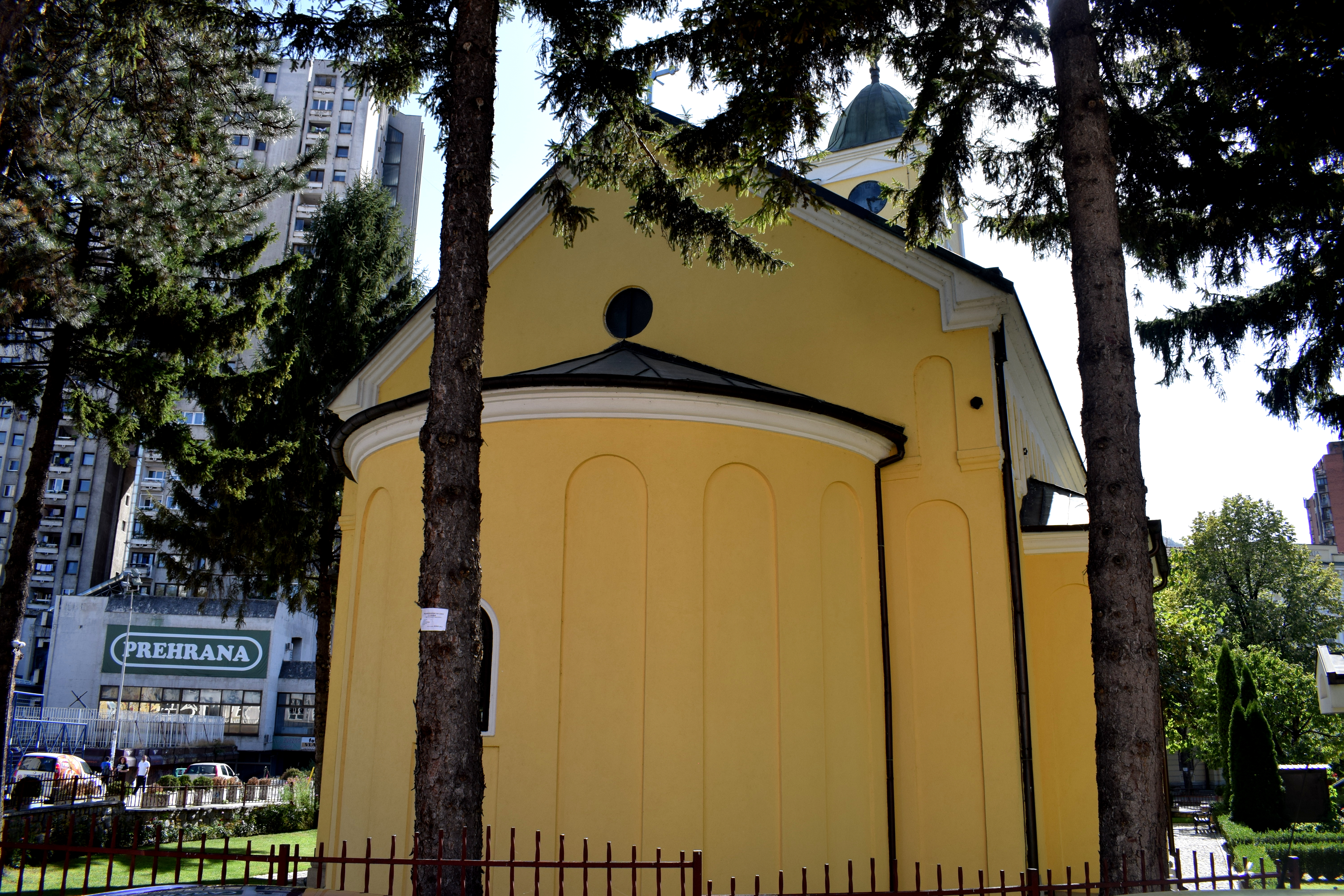 Uzice first became tied to Serbian history in 1180 when the Serbian Grand Prince Stefan Nemanja incorporated it into the medieval Serbian state of Raska. Although a small city at the time, Uzice was situated on a strategically-important road connecting the mountainous Balkan interior to the Adriatic coast. When Serbia fell to the Turks in 1459, the city held out for a few years before finally succumbing in 1463. The Turks would rule the region until the early 1800’s when the city was liberated during the First Serbian Rising in 1807. Uzice developed rapidly afterward. Most of the old buildings in the center date back to this period.
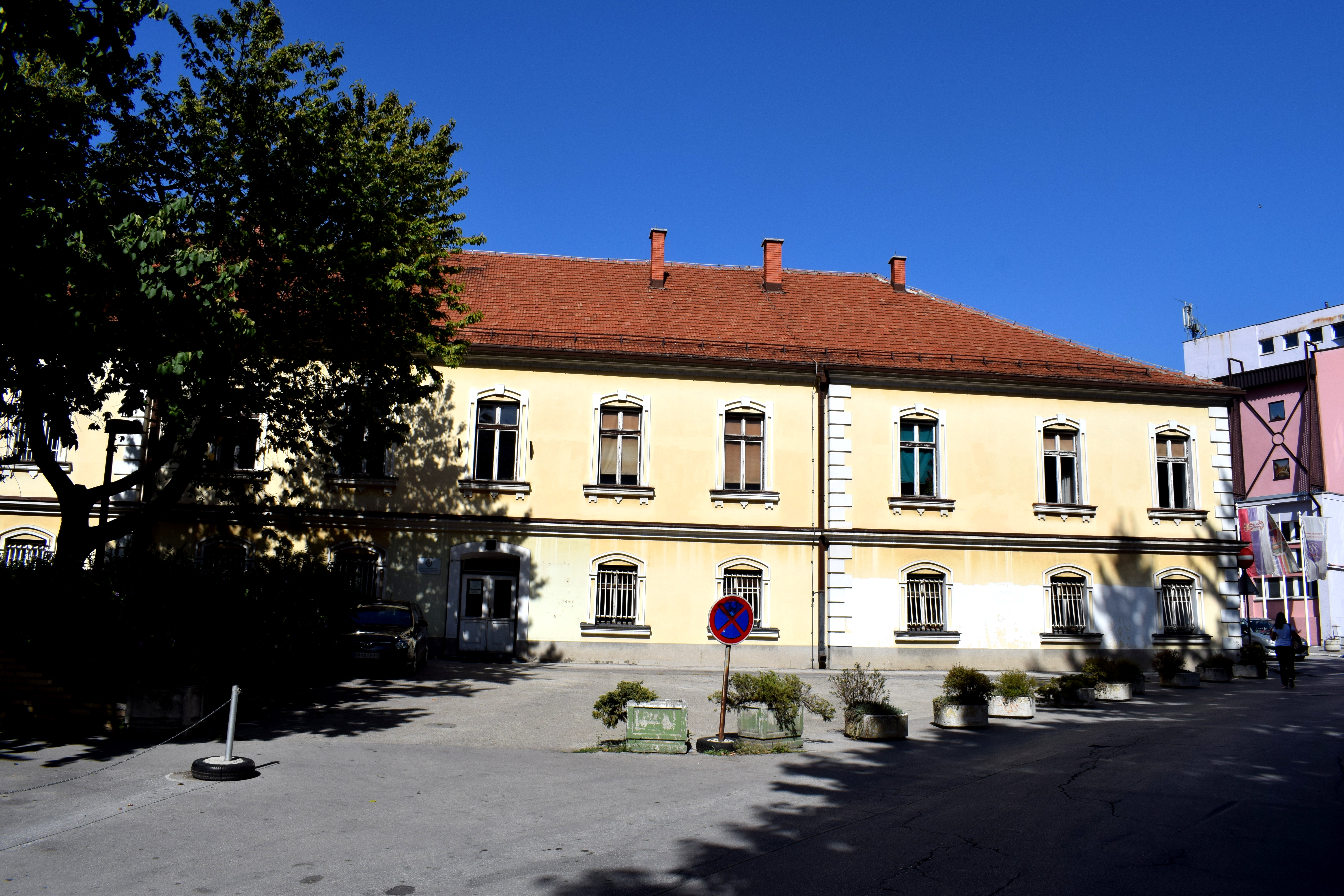 WWII destroyed much of the 19th century architecture. When the communists seized power after the war they preferred to showcase socialist architecture instead of restoring the old buildings. As a result, there is a sharp contrast in the city center between the socialist grey concrete buildings erected after the war and the old 19th century buildings reminiscent of an earlier era.
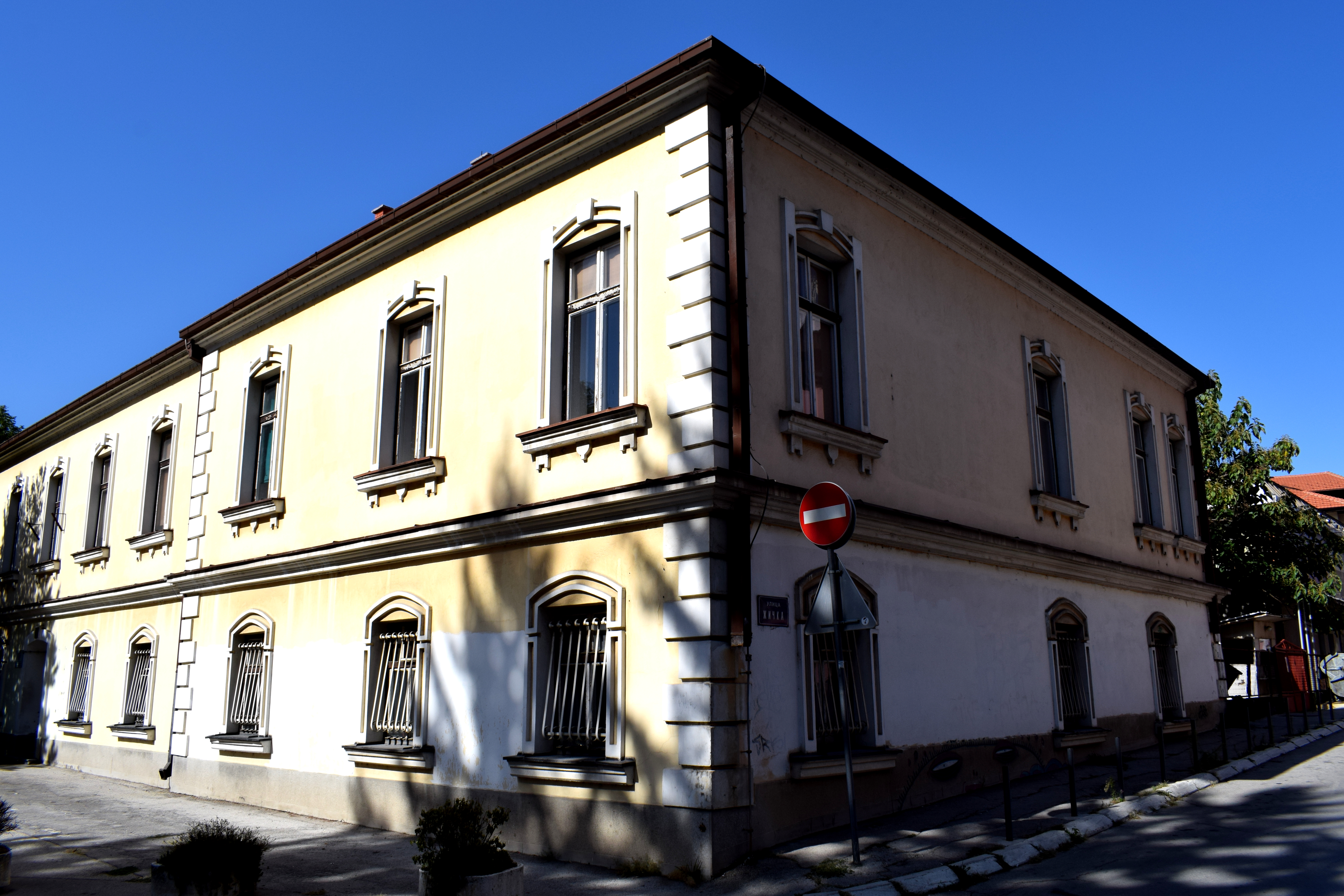 Thankfully the city is trying to preserve these pockets of 19th century buildings. There is an active renovation program underway. The Uzice Grammar School built in 1839 is one of the buildings that has been renovated under the program.
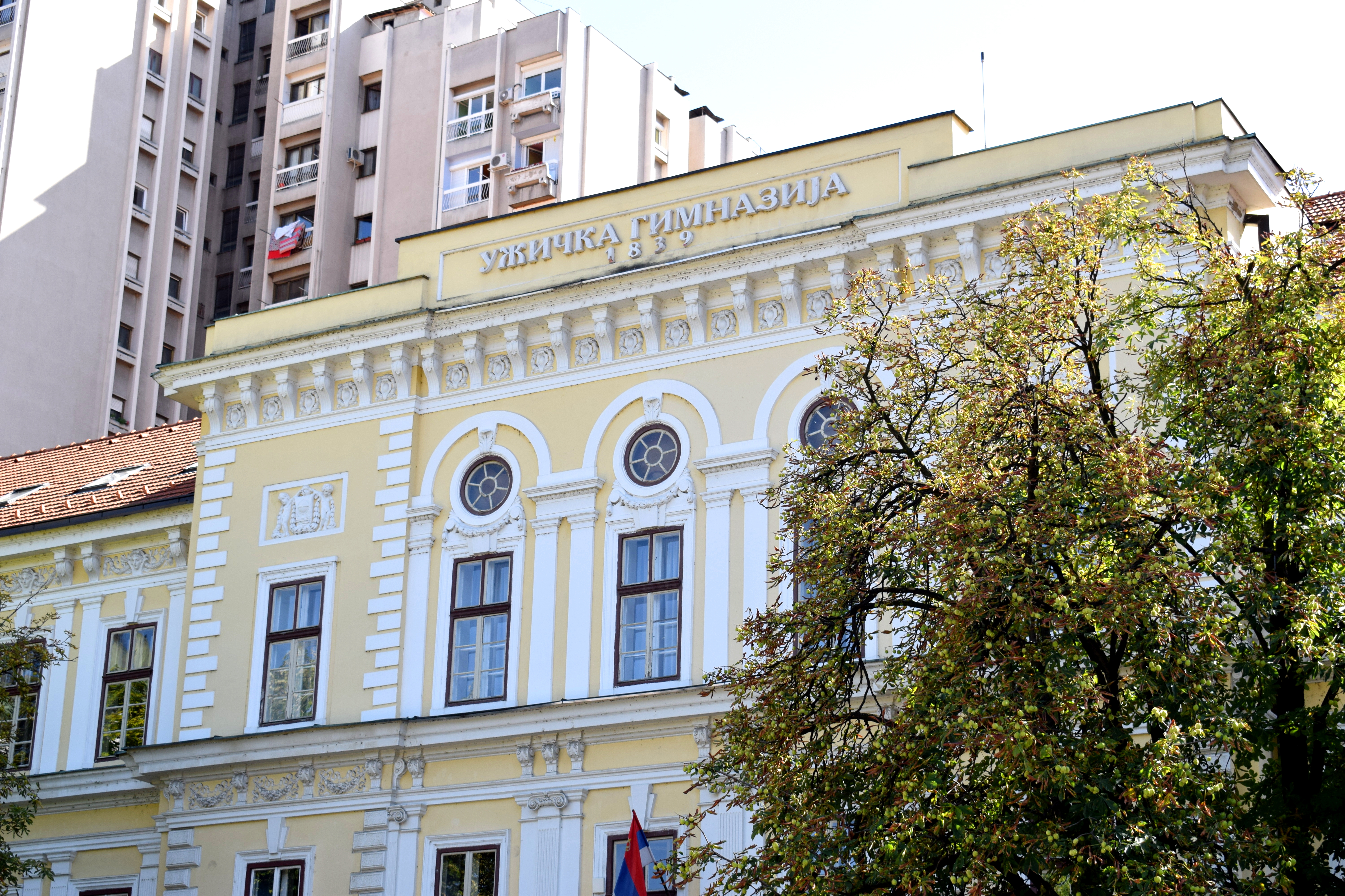 Another is the city council, where the mayor and city parliament are located. Construction began here
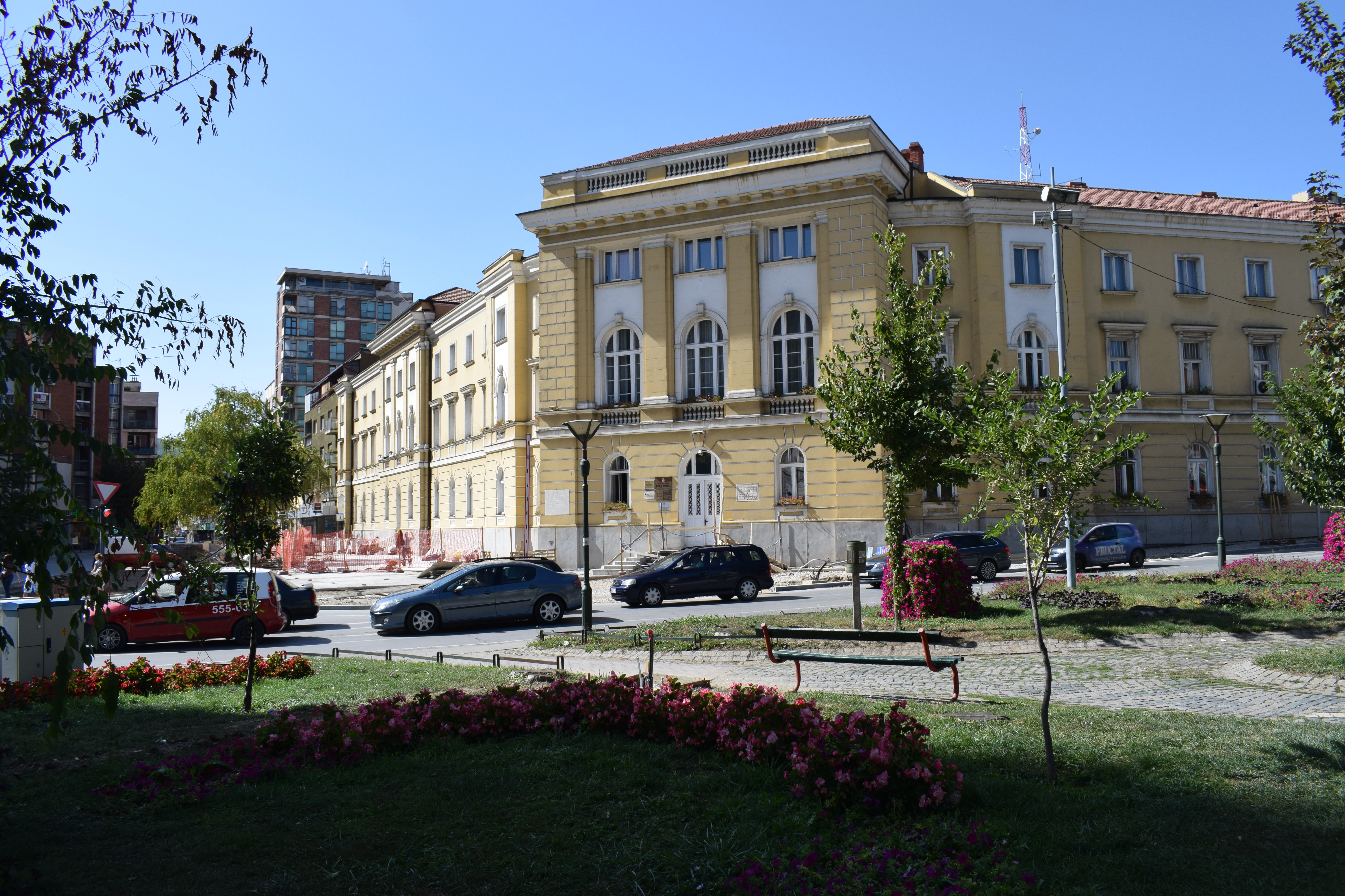
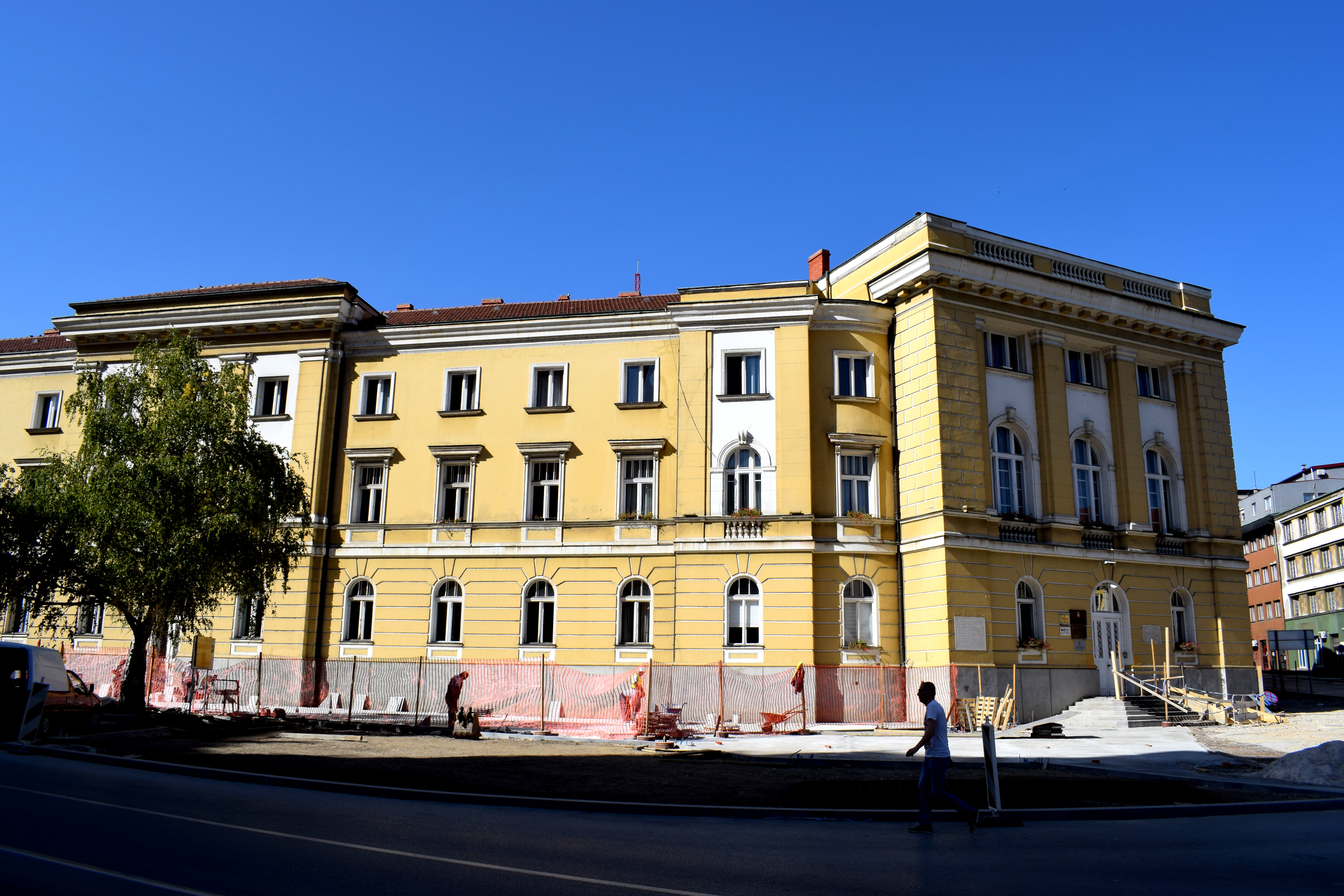 Partisan Square is an example of the city’s socialist architecture. Located in a beautiful section of town with a breathtaking view of the surrounding mountains, this area used to be the heart of Uzice with old 19th century buildings before WWII.
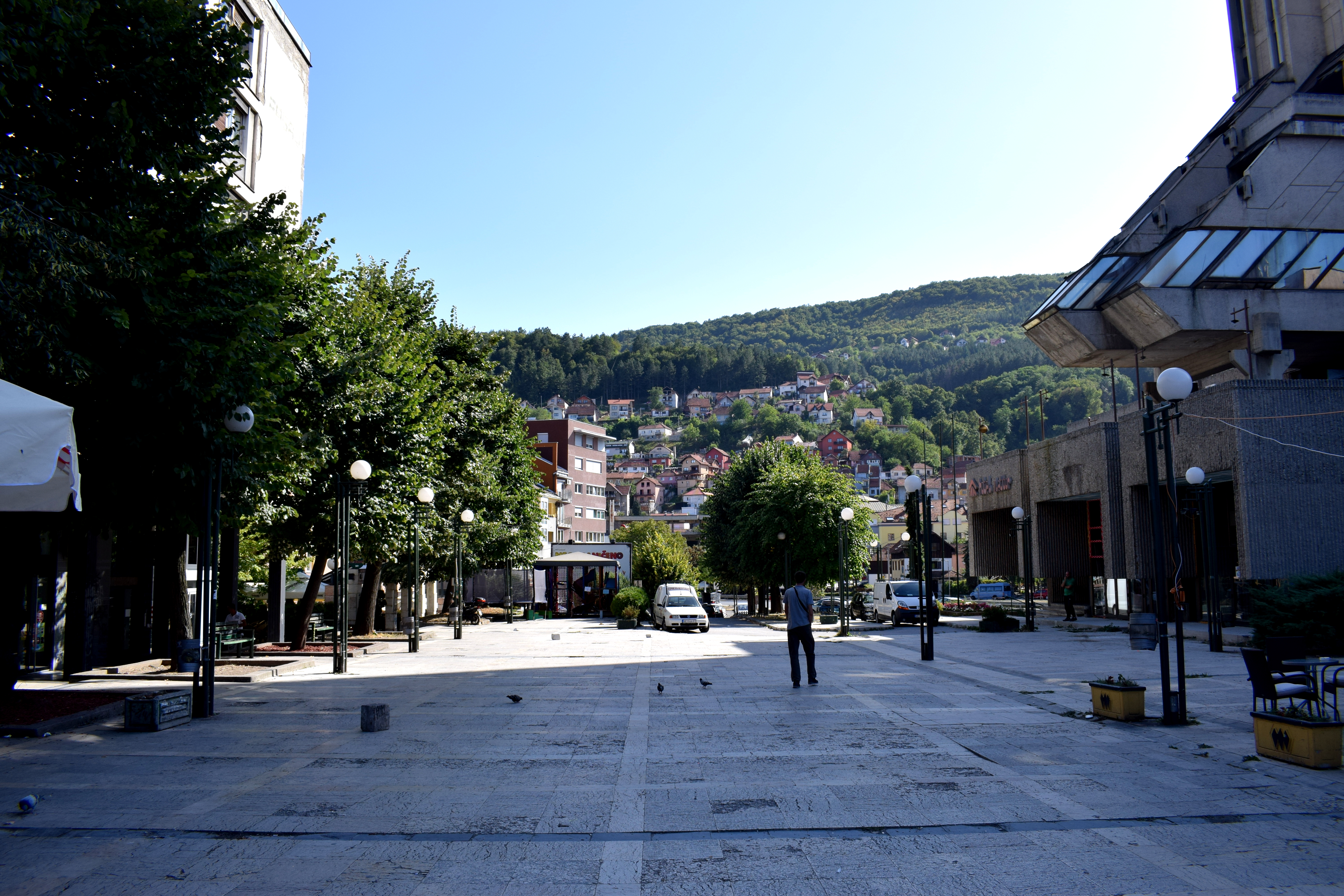 Partisan Square was praised as a shining example of
 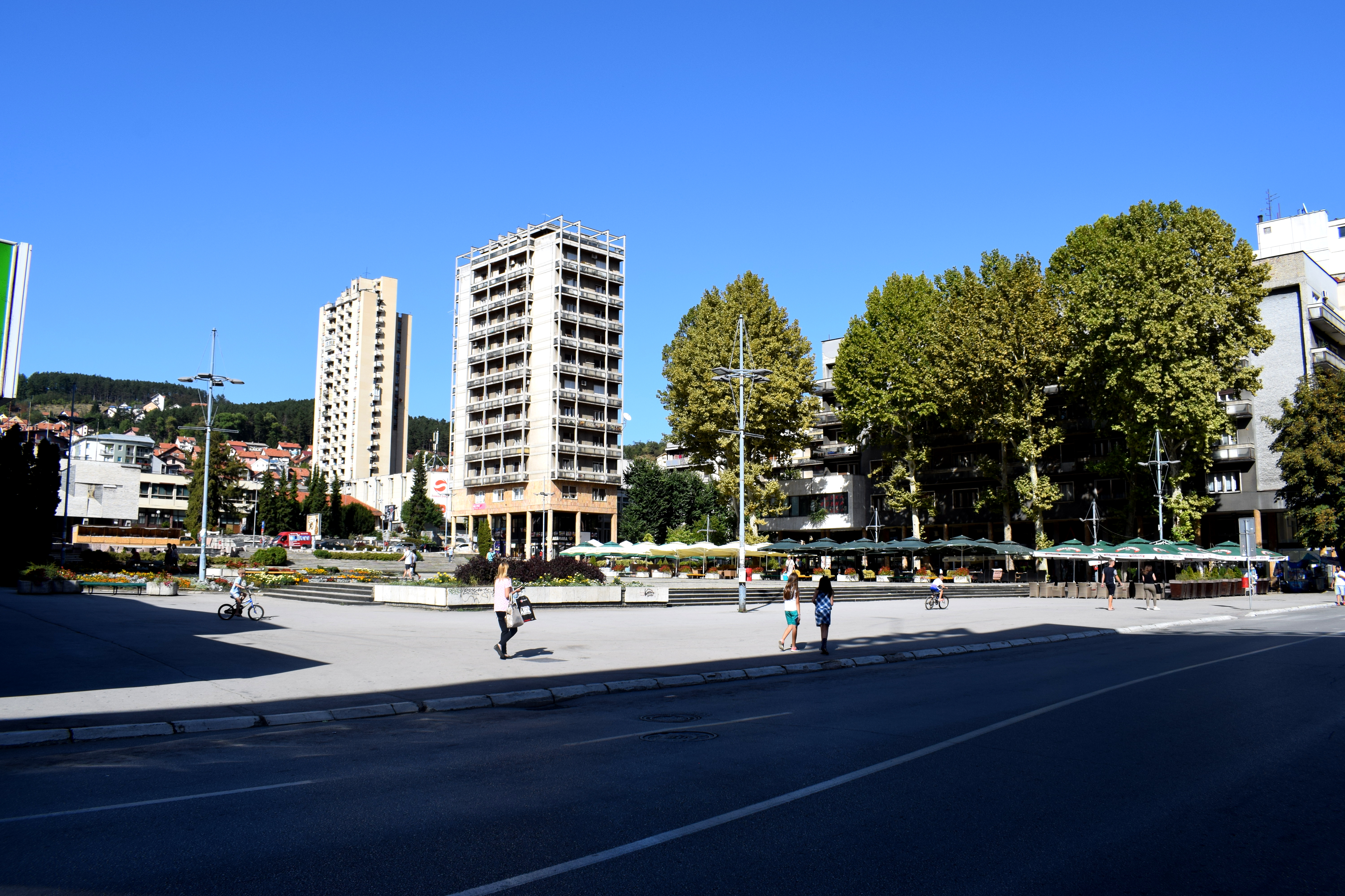 Uzice’s tallest and most notorious building, Hotel Zlatibor, is located on Partisan Square. When it was finally built and opened for guests during the 1980’s it was the pride and honor of Uzice.
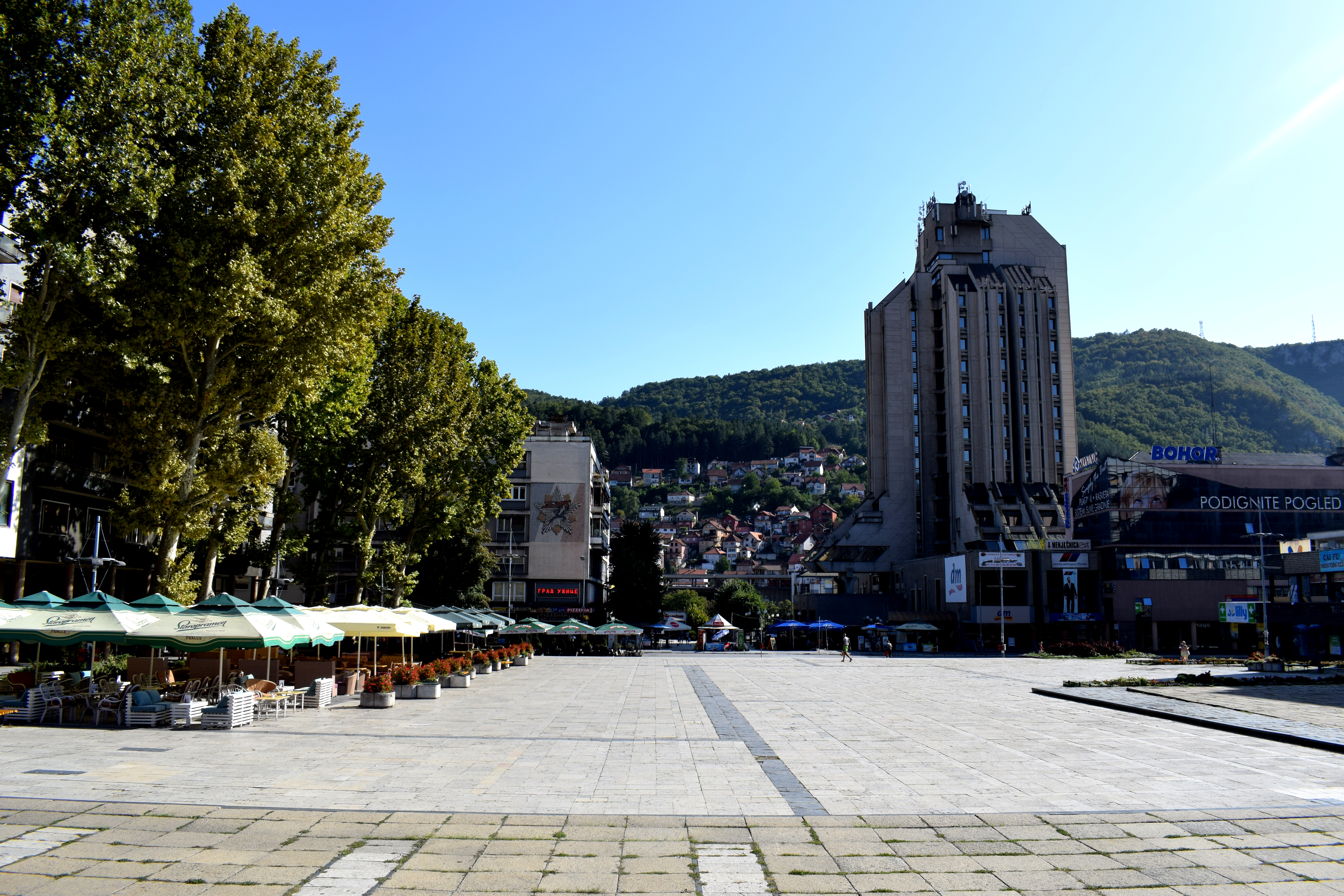 Cafes on Partisan Square.
 Next to Partisan Square is Dimitri Tucovic Street, the best surviving testament of how Uzice looked before WWII.
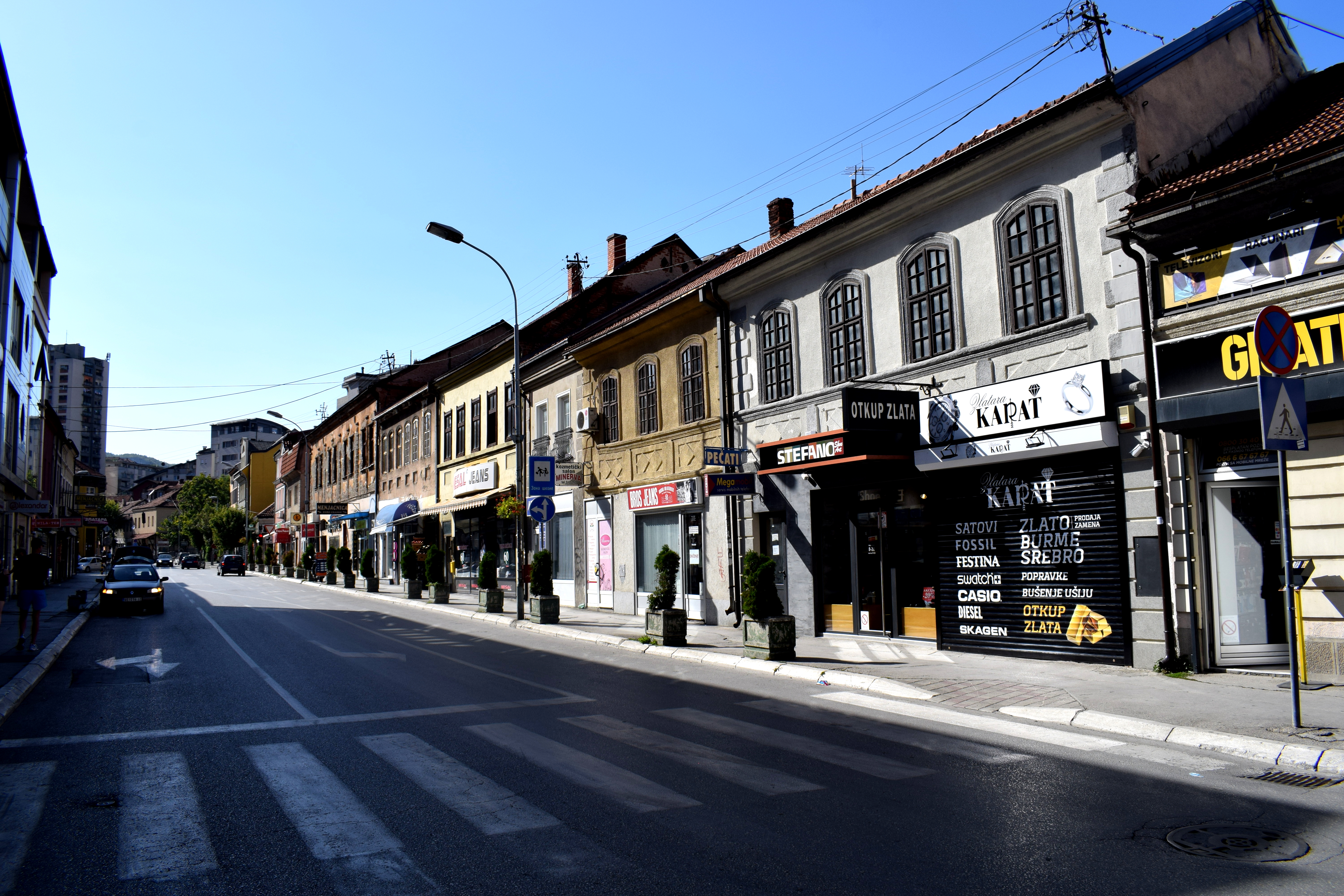 Uzice has a lot of potential to turn this into pedestrian street. A major drawback of Uzice today is that it does not have a central pedestrian street like other cities in the Balkans and Europe. Dimitri Tucovic Street would be a perfect candidate for such a street.
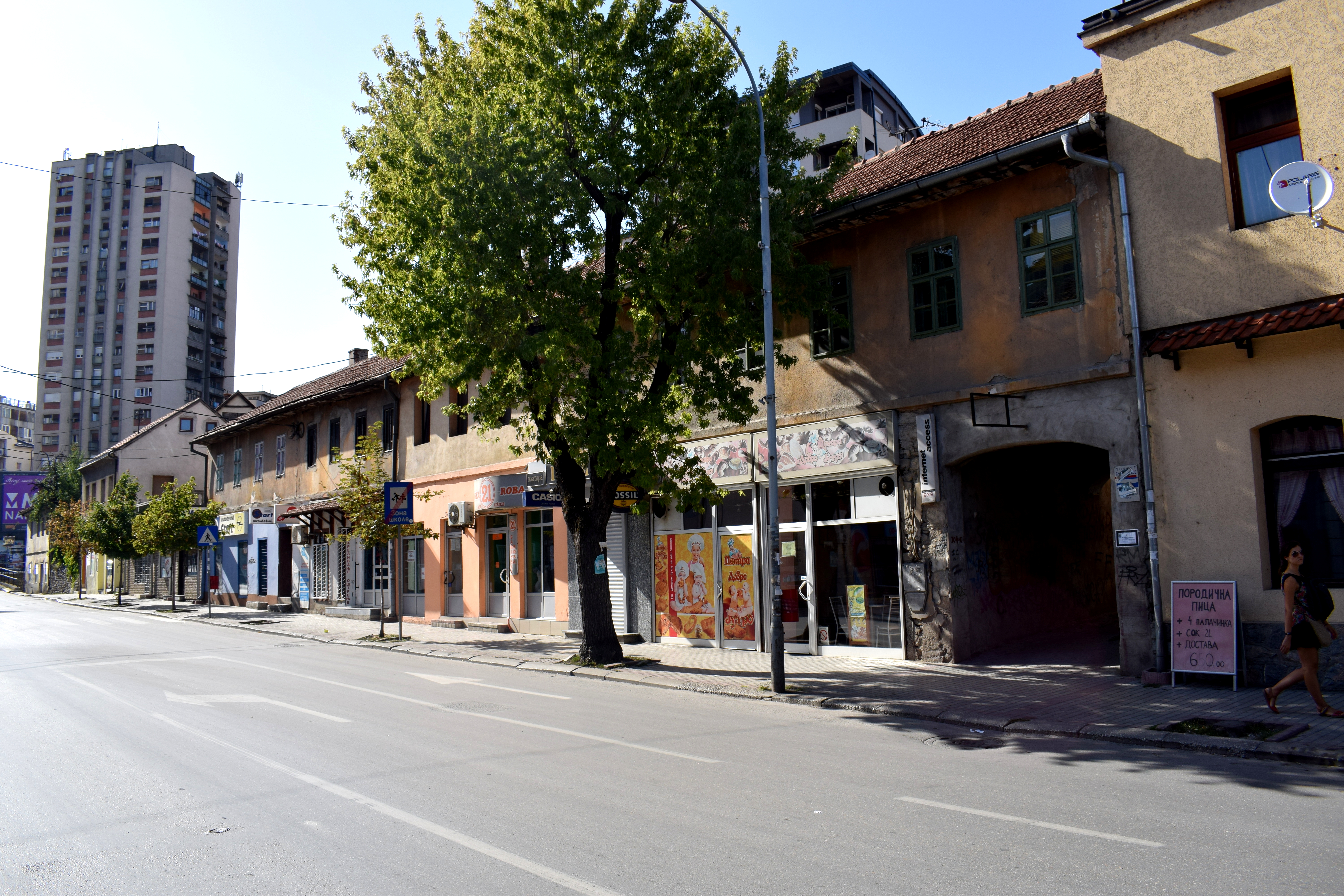 Some of the buildings on Dimitri Tucovic Street are in need of renovation. But the city has recognized this problem and announced plans to
 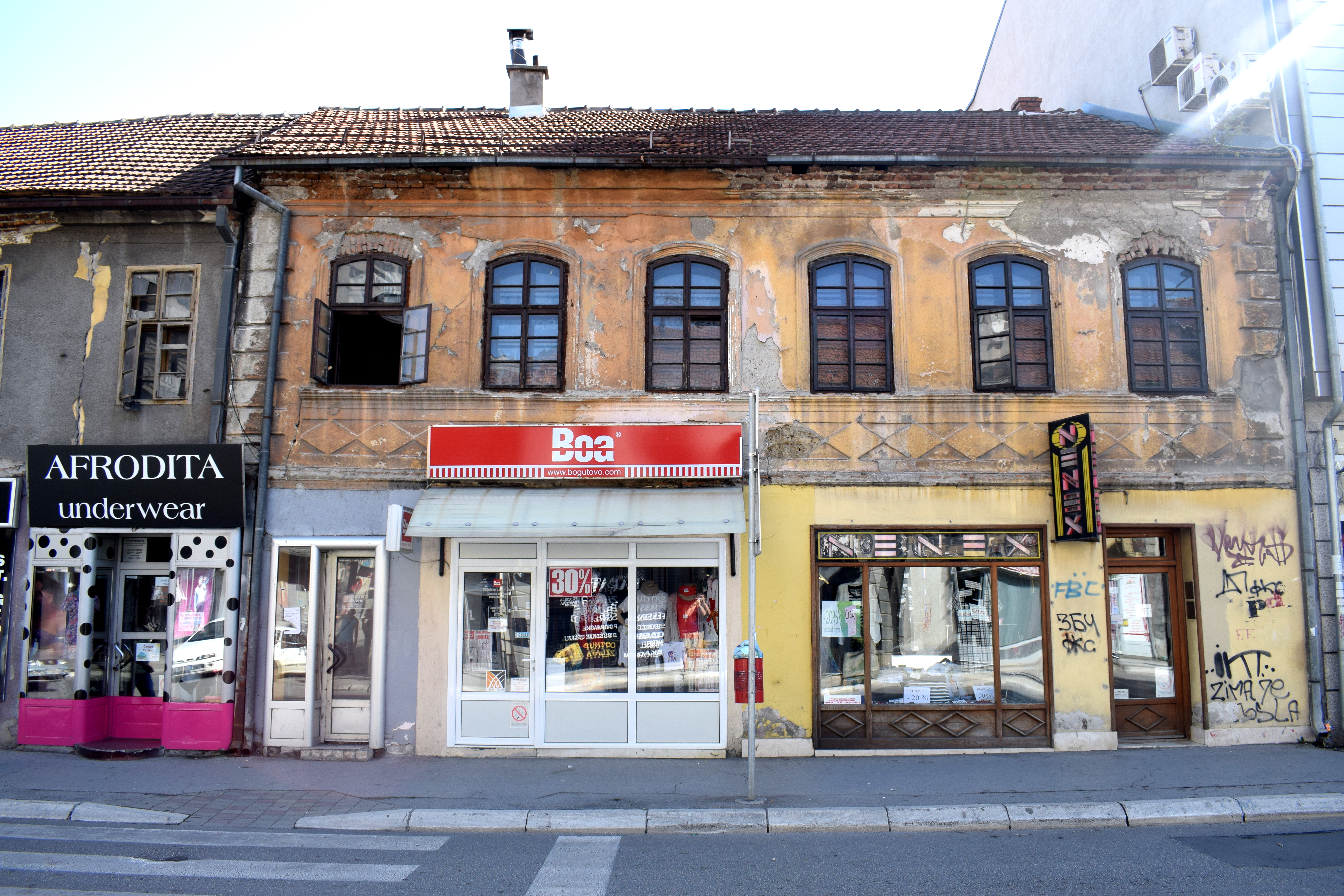 An example of a recently renovated section.
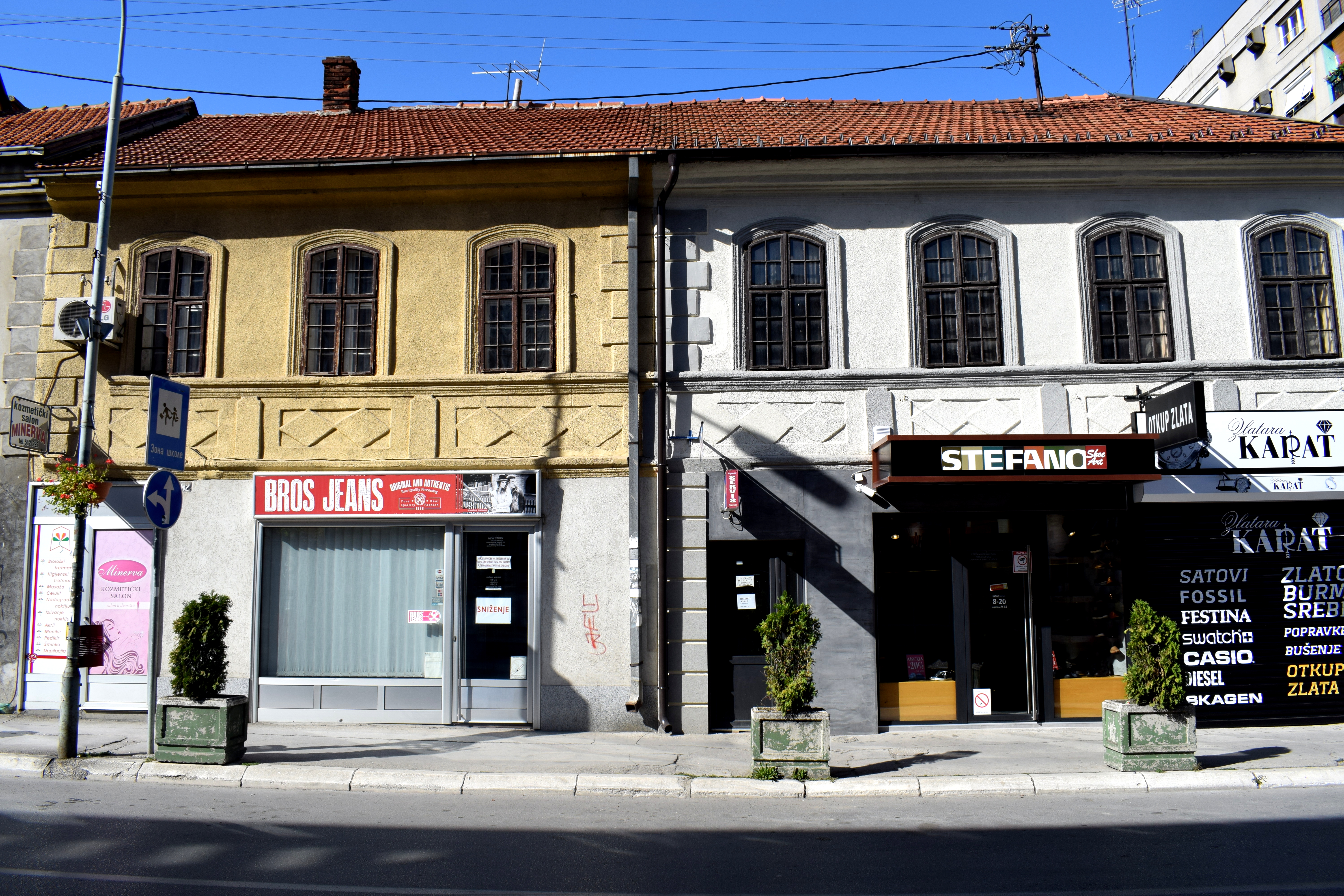 Dimitri Tucovic Street could be transformed into a smaller version of
 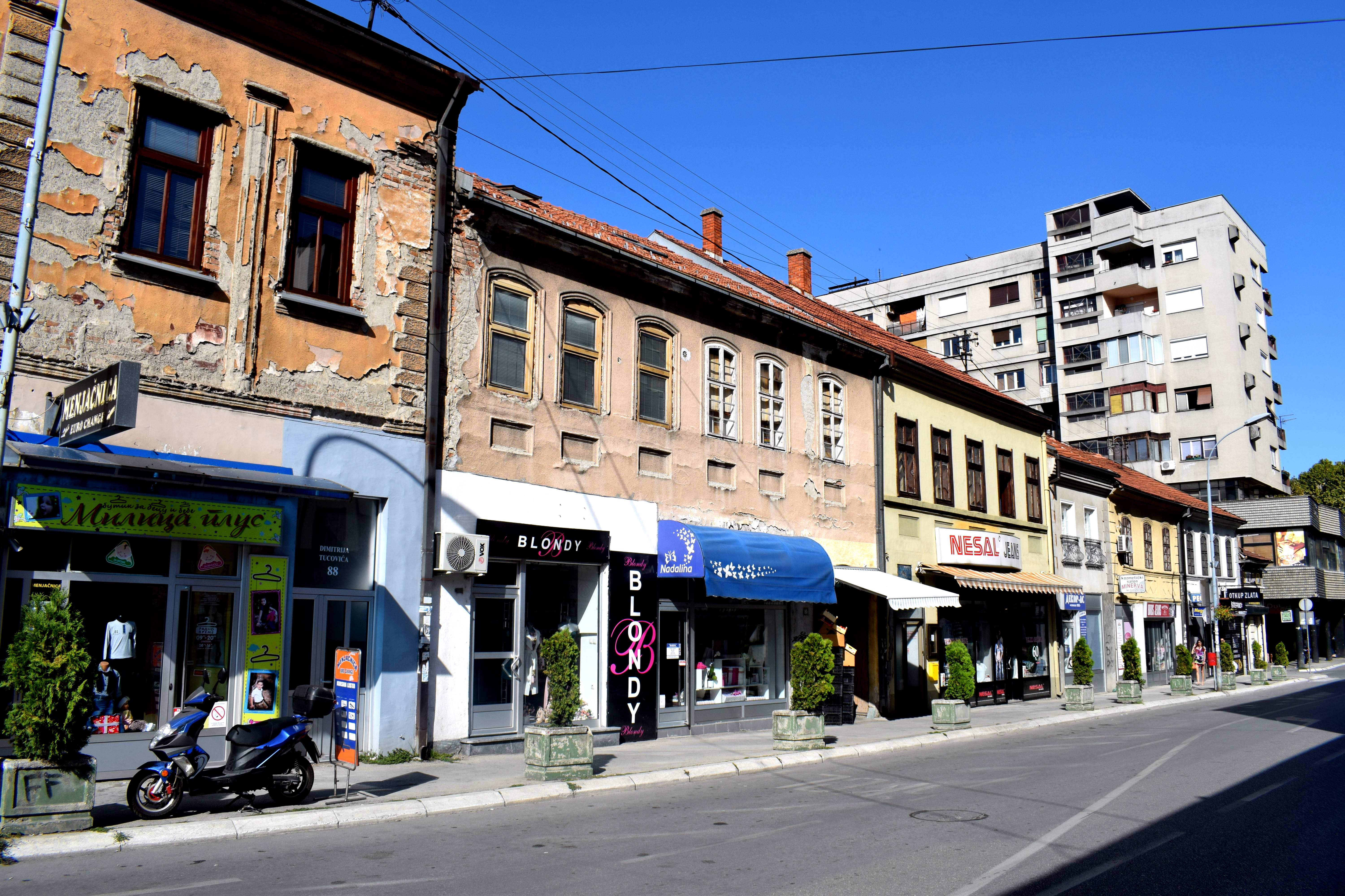 One of the oldest
 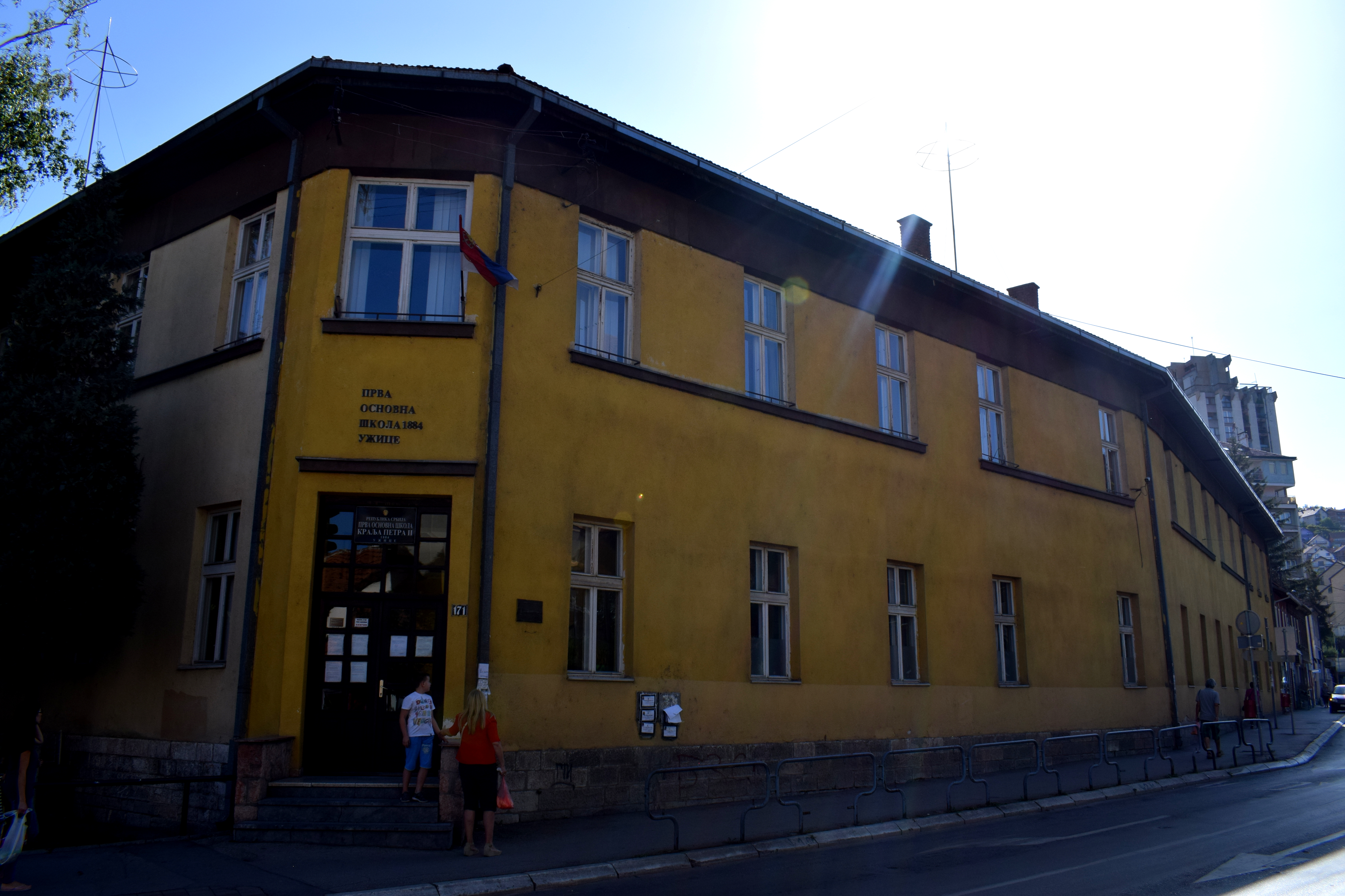 Some more buildings on the street.
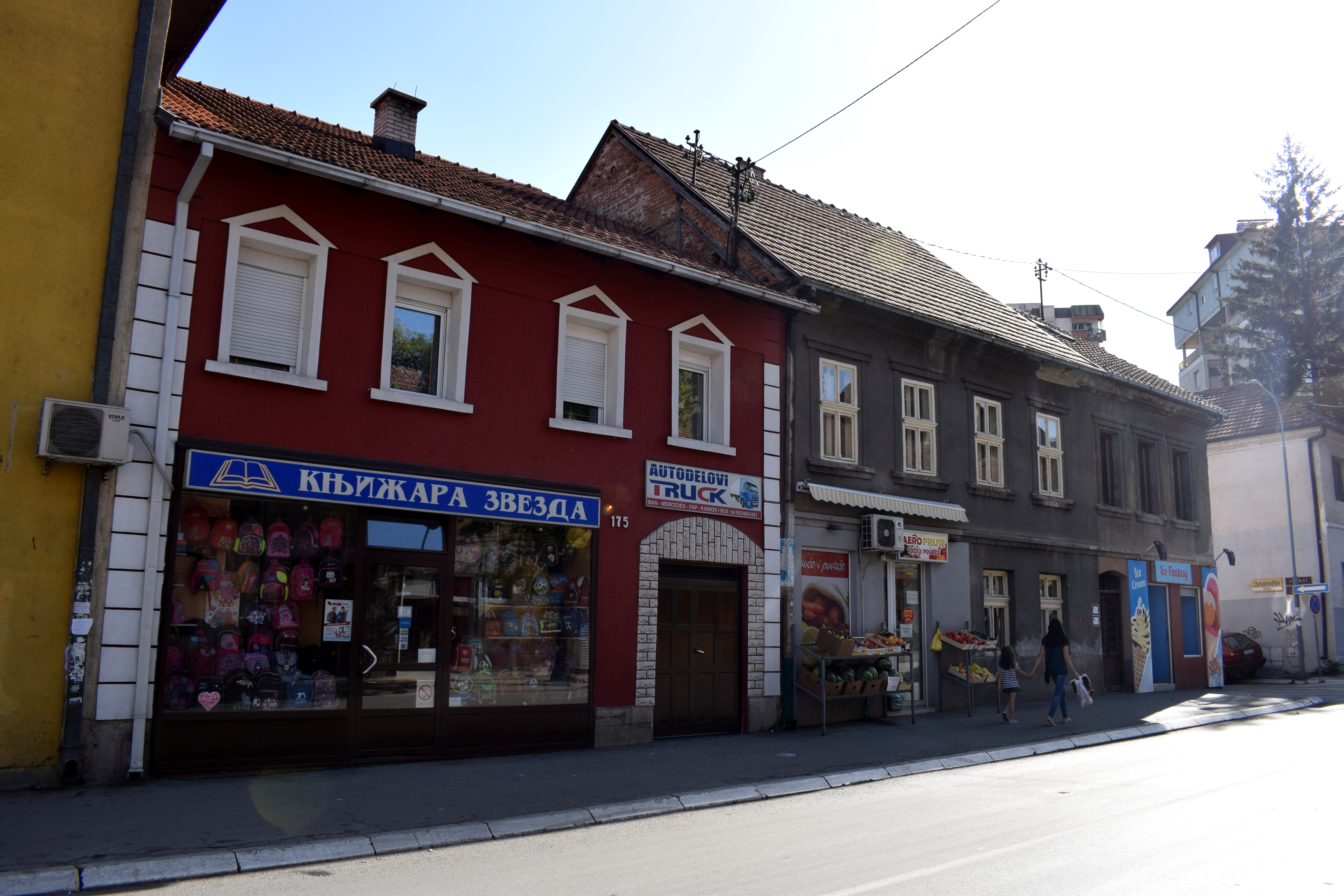 Private homes in the city center.
 Apartments and homes in Uzice typically cost
 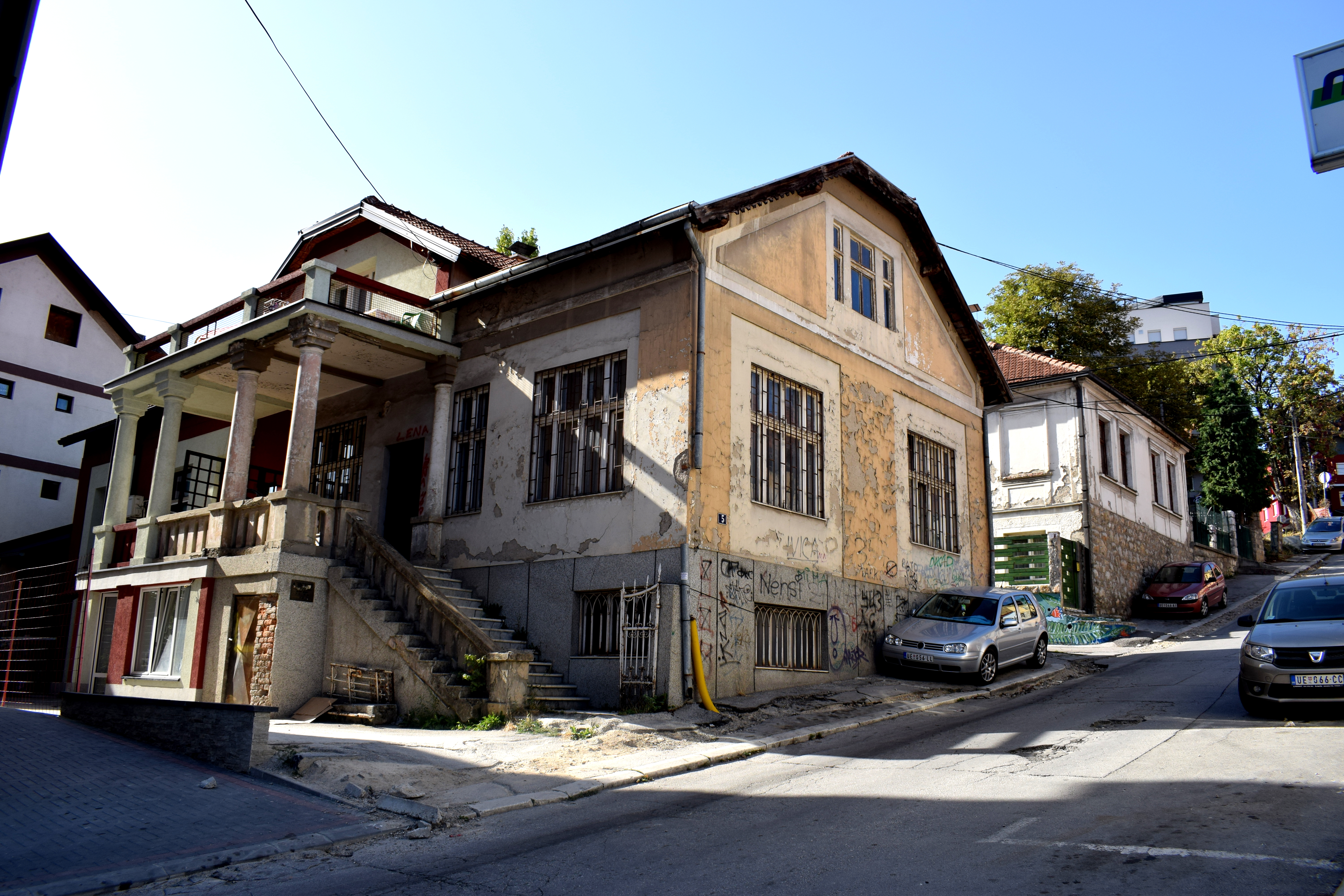 Buildings in Uzice often have the year they were built engraved on the outside. This building is 117 years old and has managed to survive two world wars to still stand today.
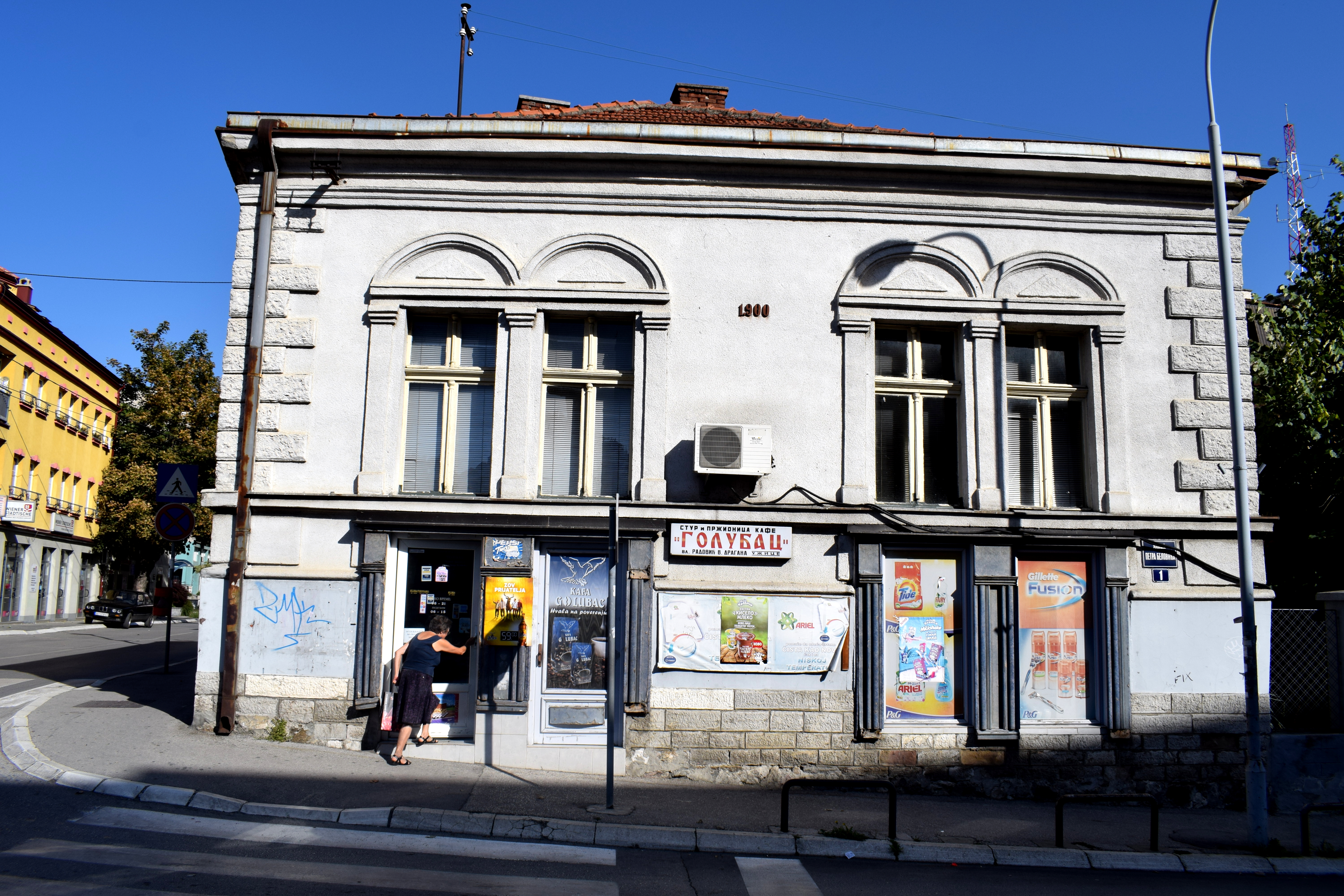 Now to the food. Uzice is famous for a meal that is unique to the city alone: Komplet Lepinja. Rarely found in other areas of the Balkans, it consists of freshly baked white bread stuffed with eggs, butter and kajmak, a form of dairy that tastes like a mix between sour cream and cottage cheese. It’s then all baked together fresh in an oven. The result is a week’s worth of fat in one meal.
 Don’t expect to eat this for lunch and have a productive afternoon in the office.
 If you prefer not to clog your arteries, there are plenty of fruits and vegetables on sale around the city for very reasonable prices.
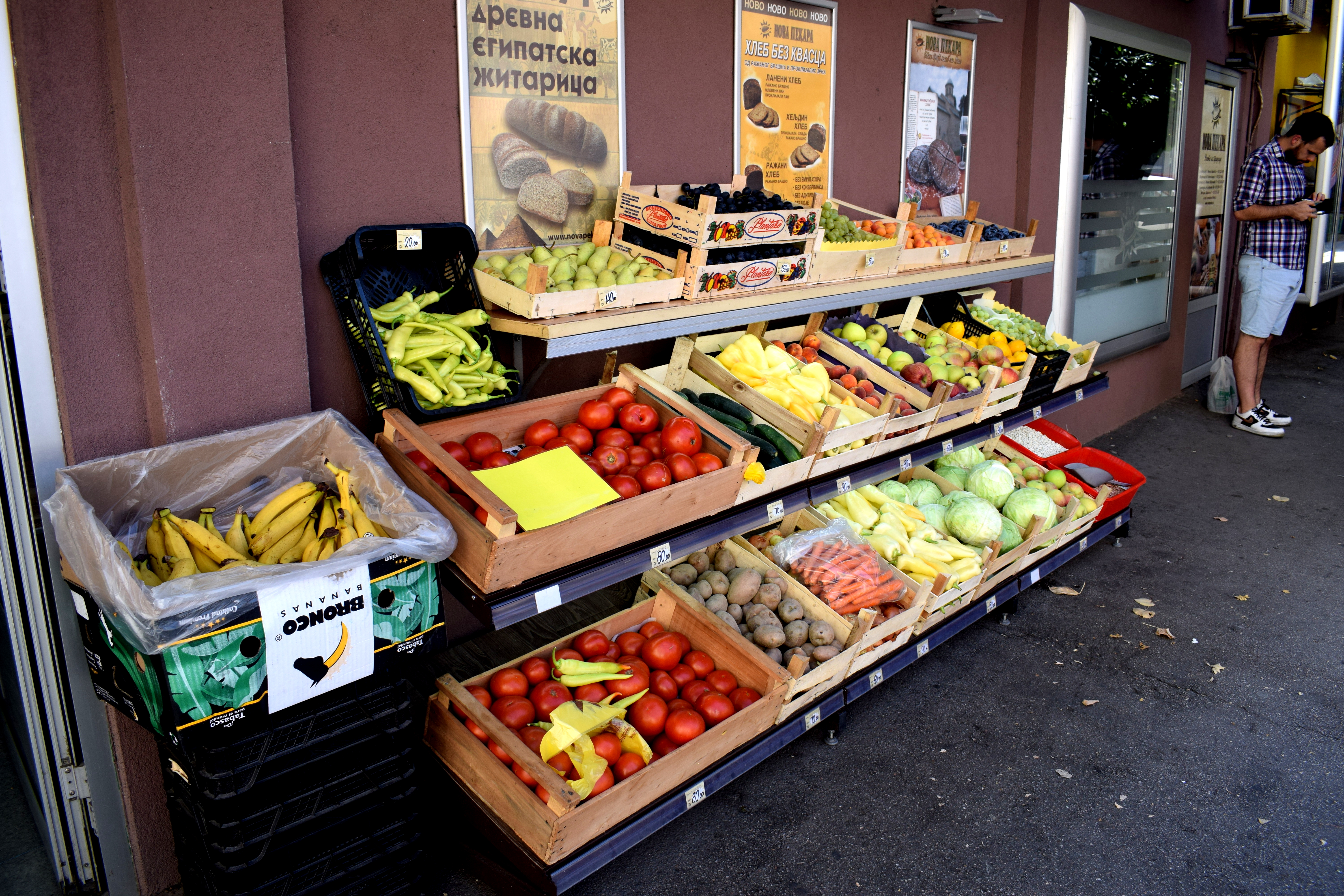 One of my favorite things about Uzice are the small one or two story homes with red tiled roofs contrasted with green mountains in the background.
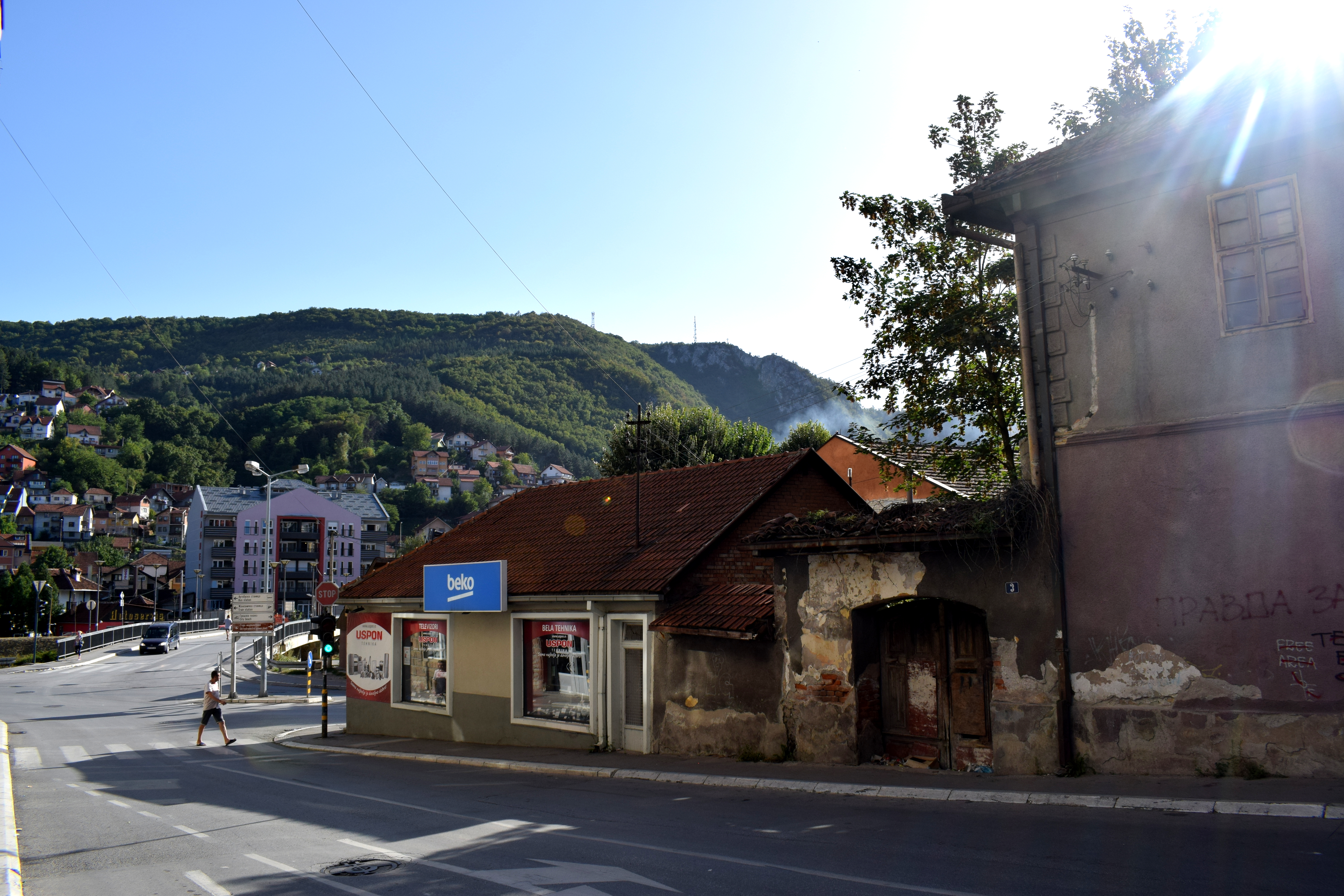 Lots of Serbs own country houses in the surrounding mountains and on the weekends to get away from cities to enjoy the countryside.
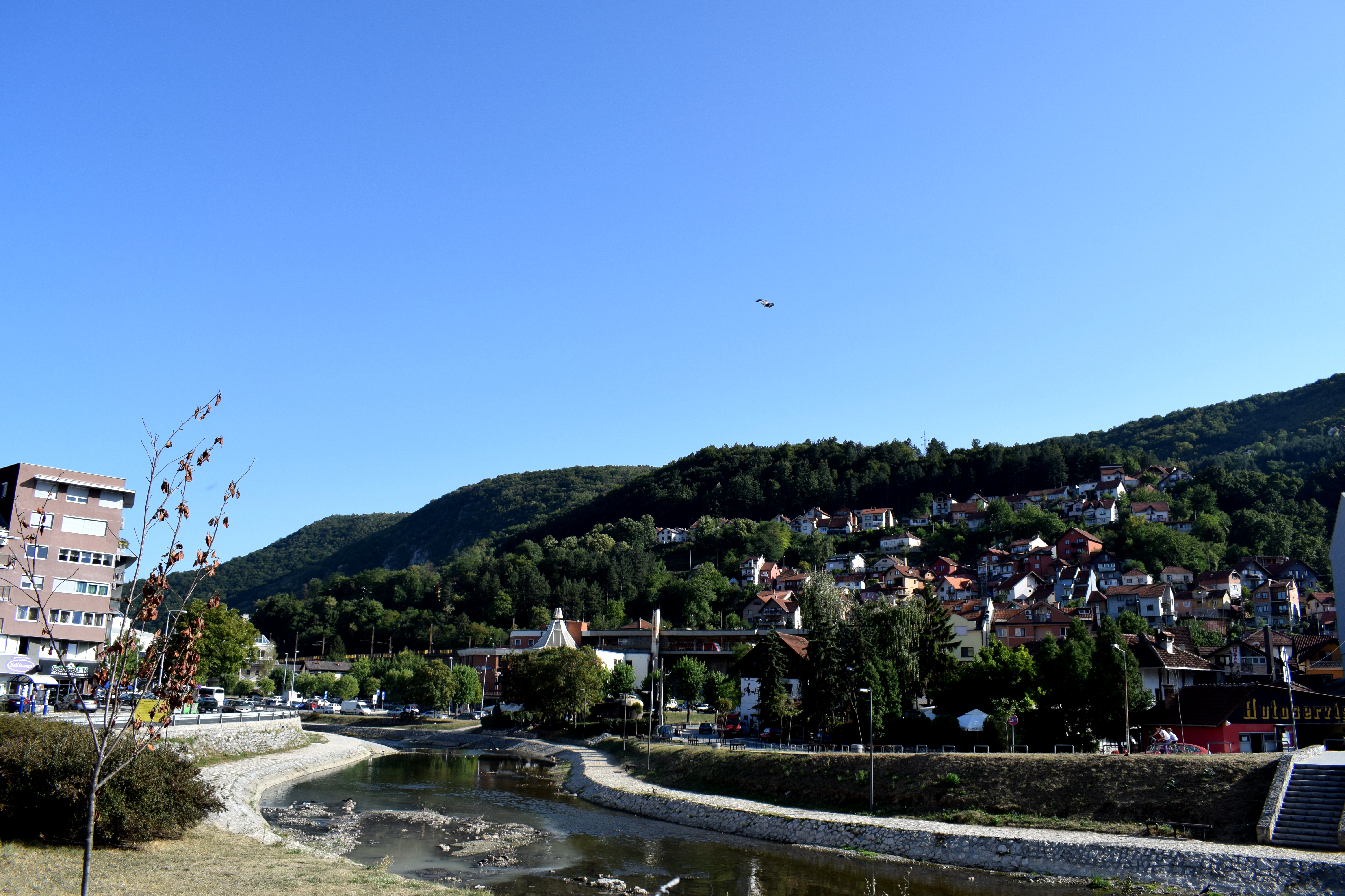 Some local street art.
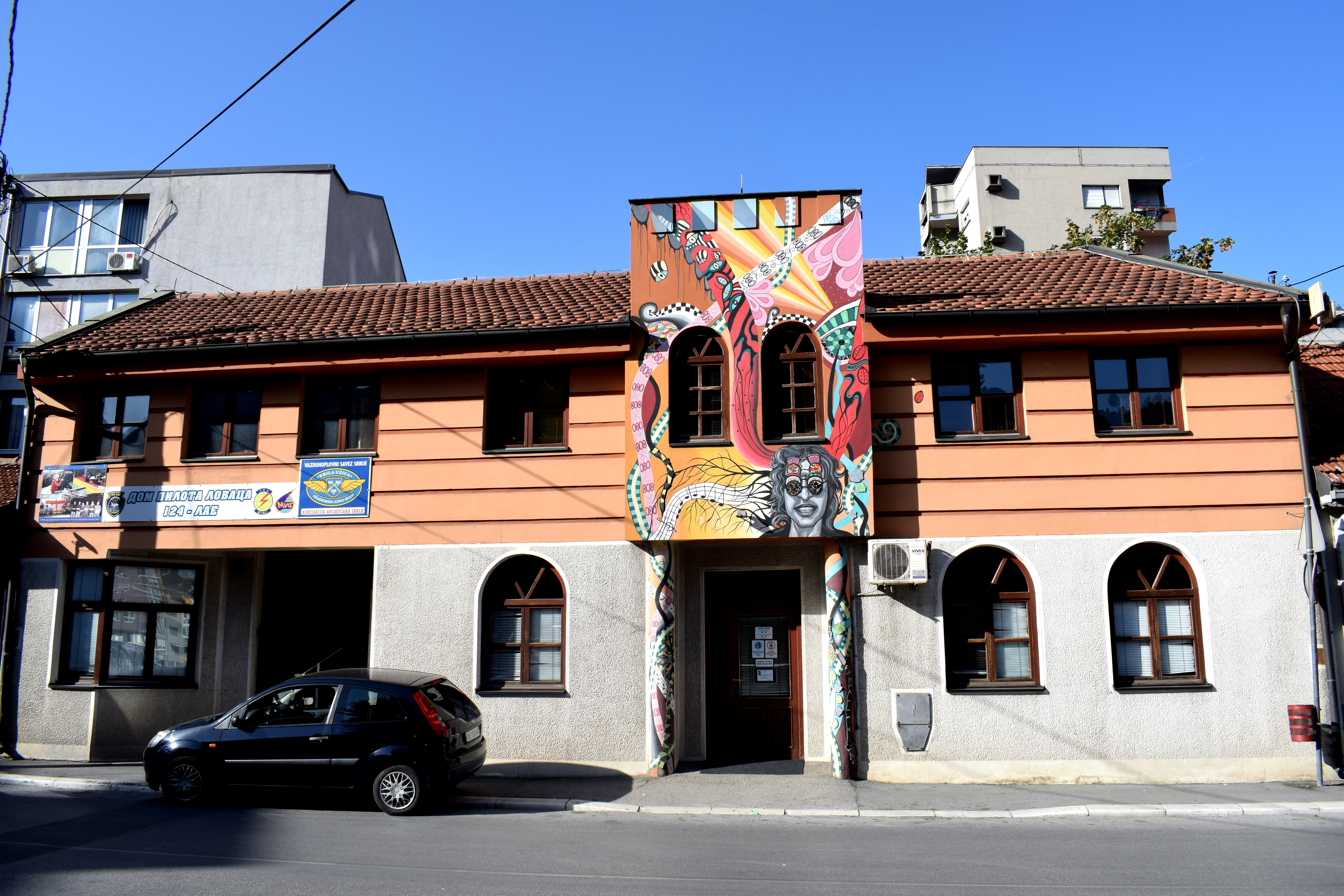
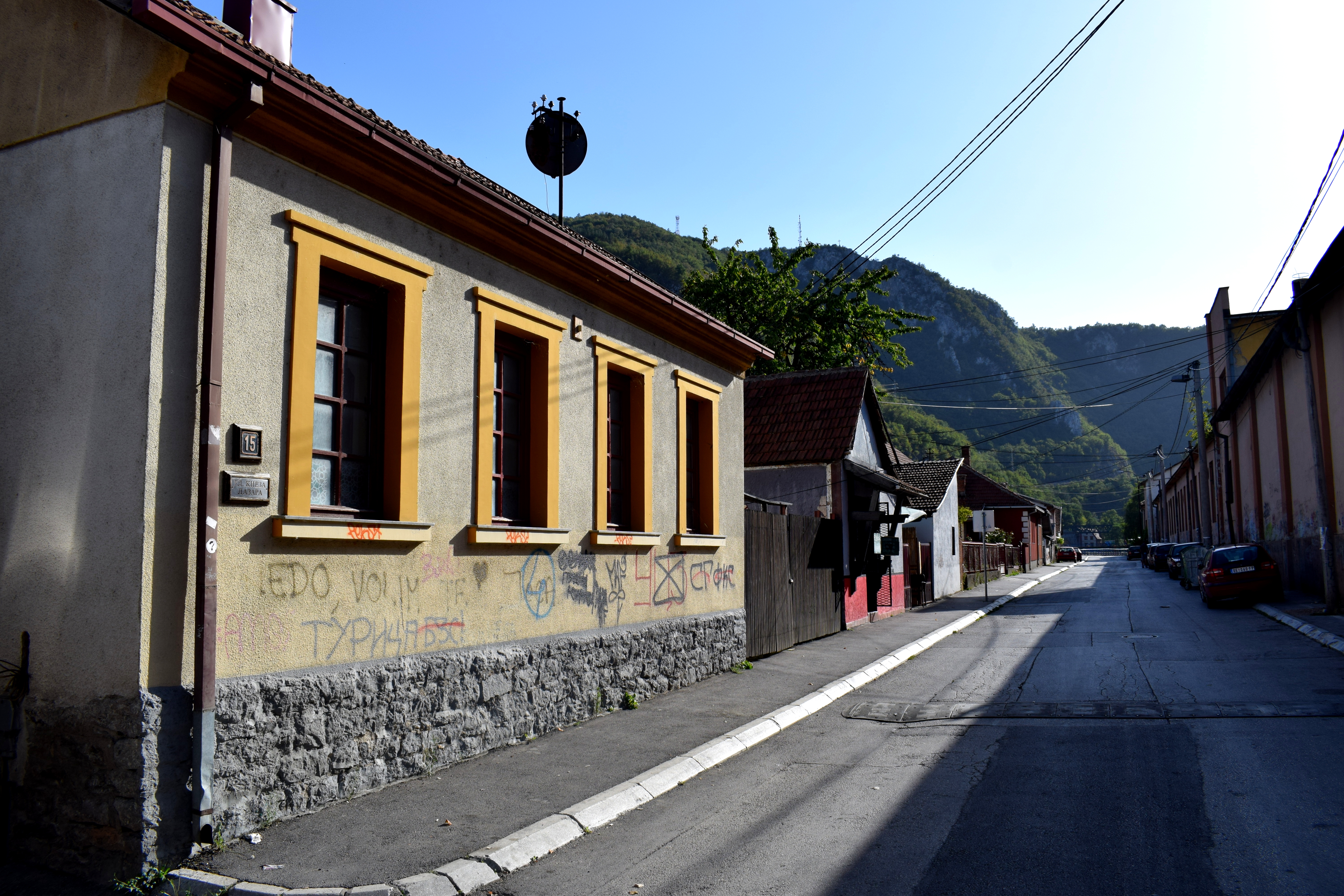 Uzice was the first city in the Balkans and one of the first cities in Europe to build a hydroelectric dam. The Uzice Hydroelectric Dam was built in 1900 based on designs by the famous Serbian inventor Nikola Tesla.
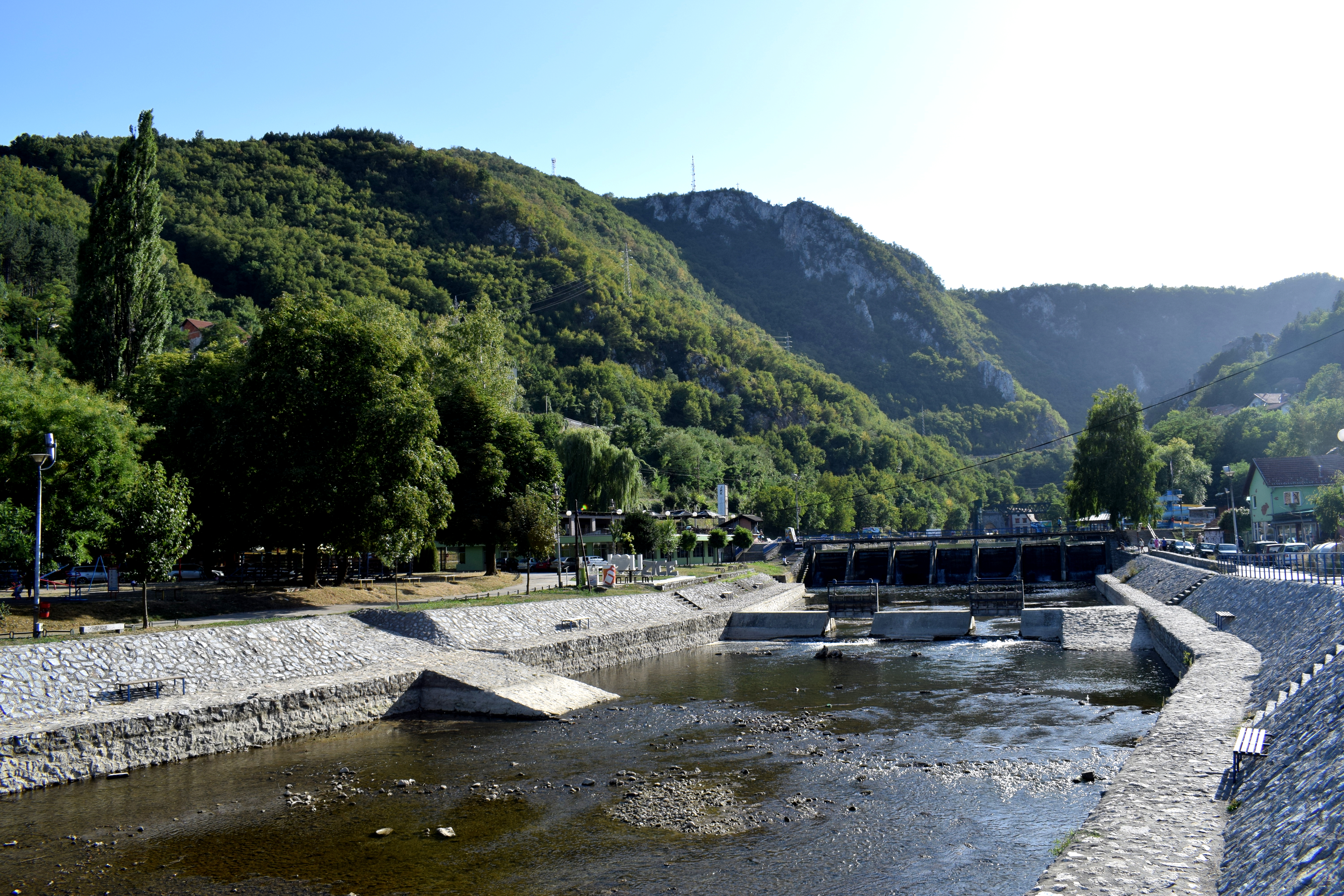 Today a lot of outdoor and sports activities take place around the dam. There are parks for kids to play in, basketball courts, tennis courts, a swimming pool, cycling lanes, even an urban beach for swimming.
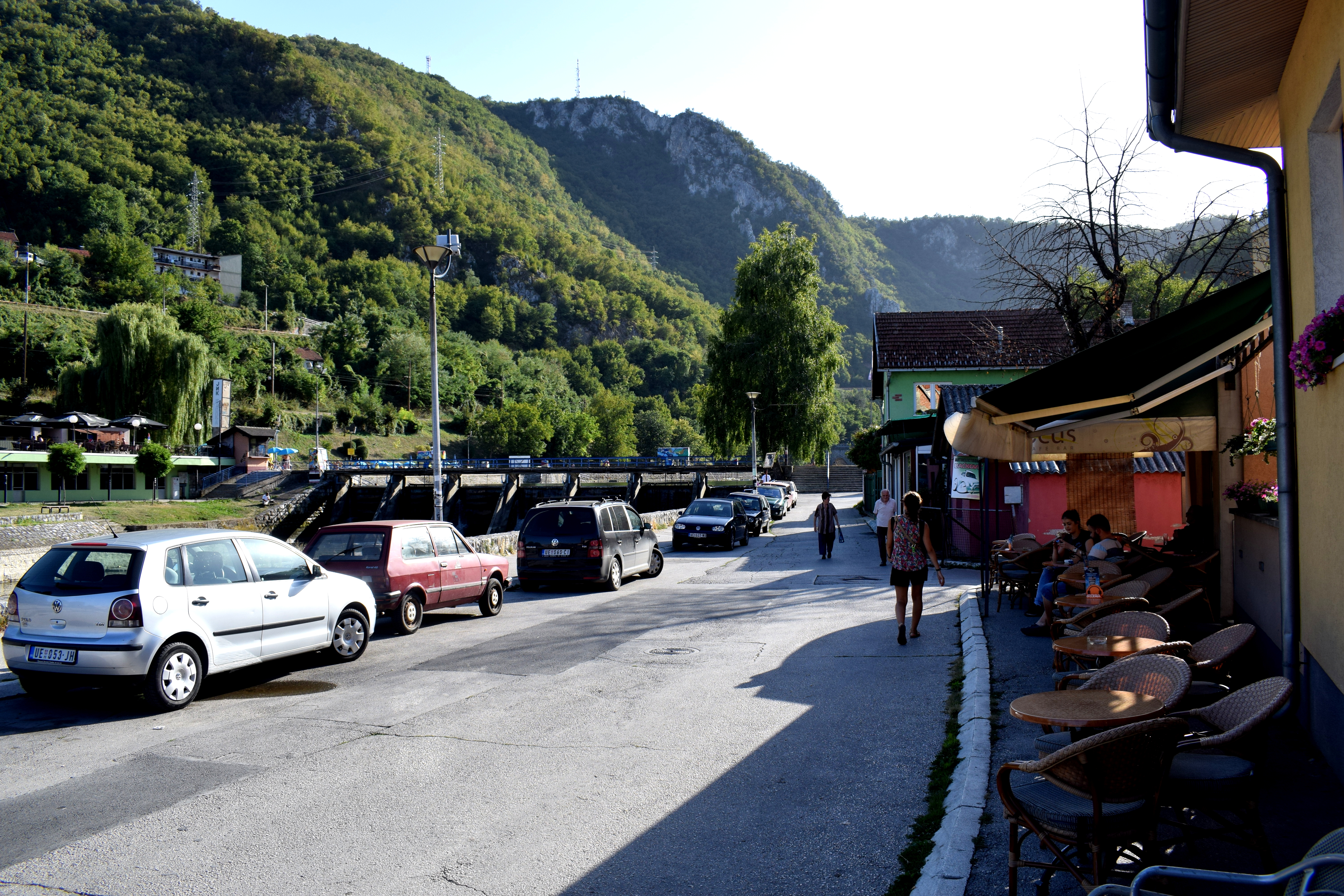 Not a lot of people were swimming in the water, but lots of people were out enjoying the sun.
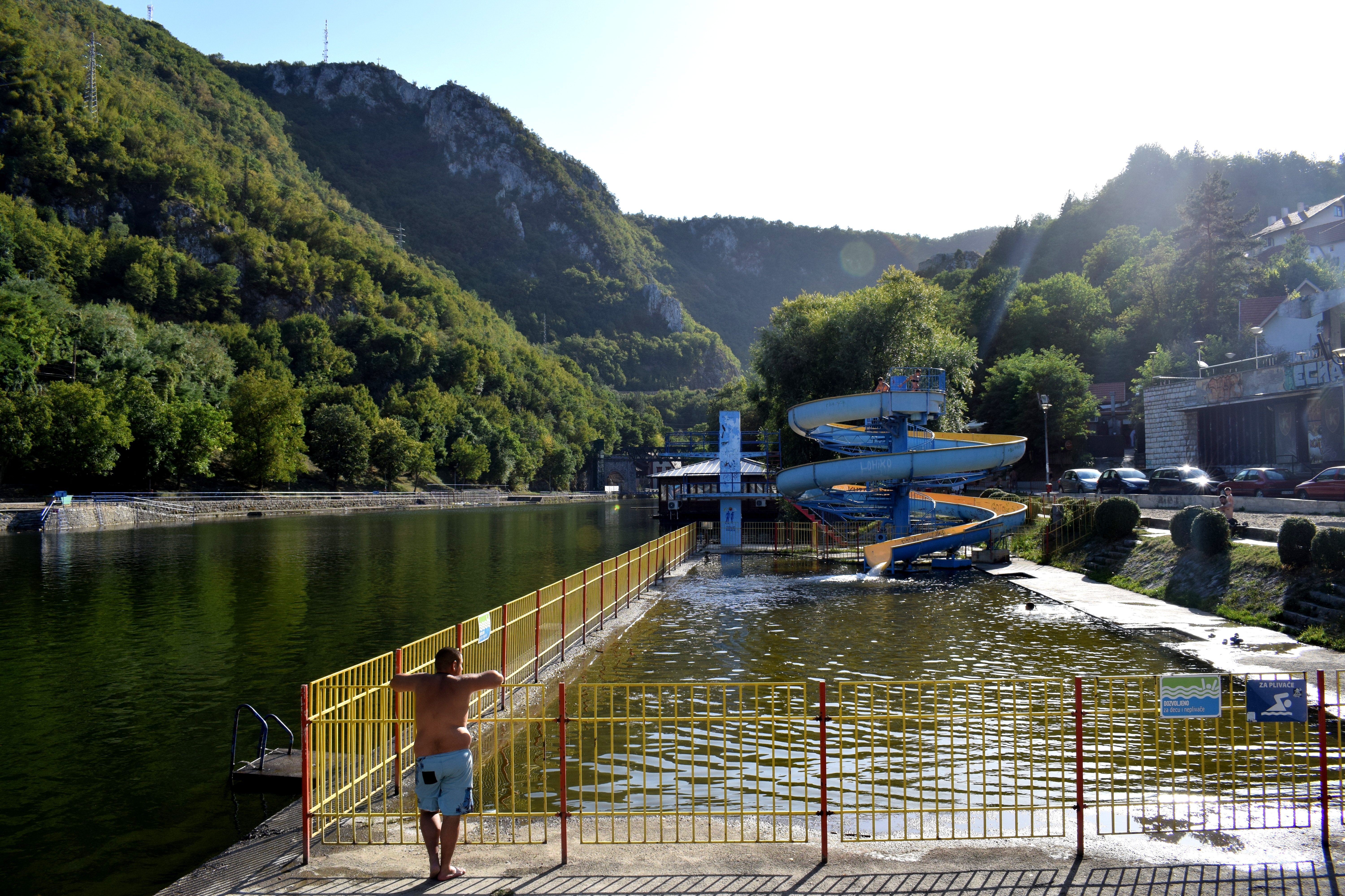 Playing sports.
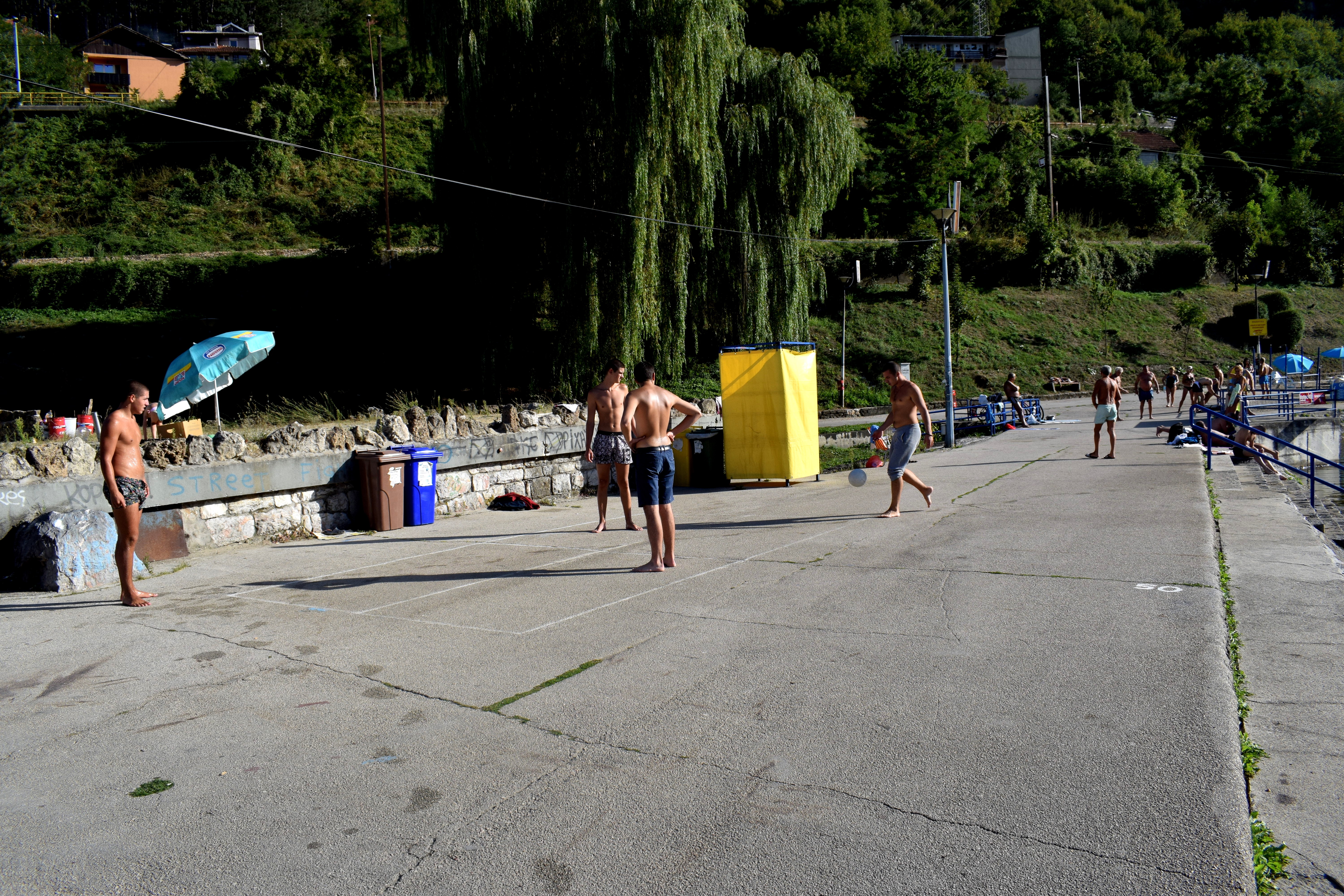 Occasionally fishing.
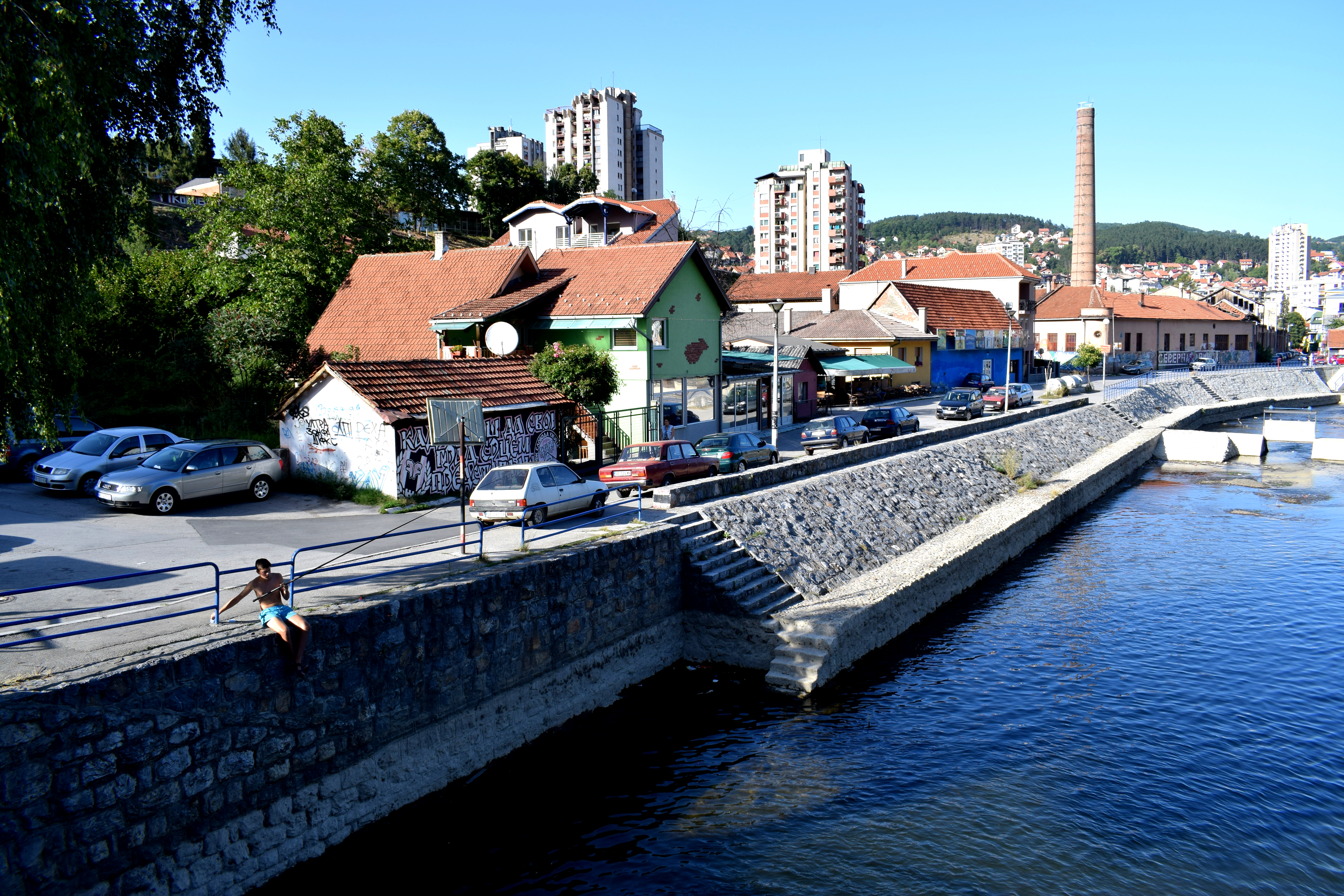 The embankment on the Djetinjia river near the dam.
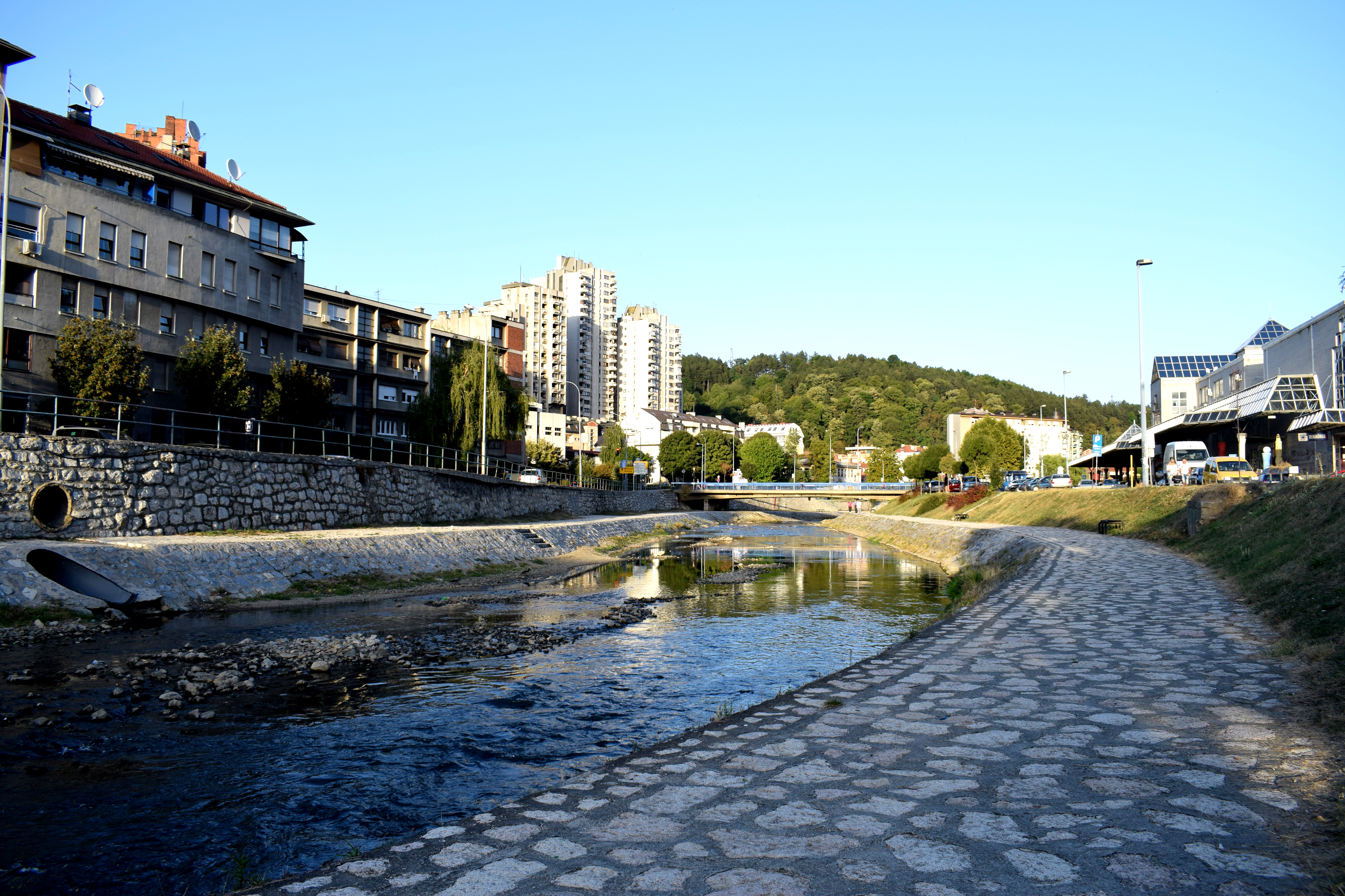 An old railway carriage converted into a restaurant.
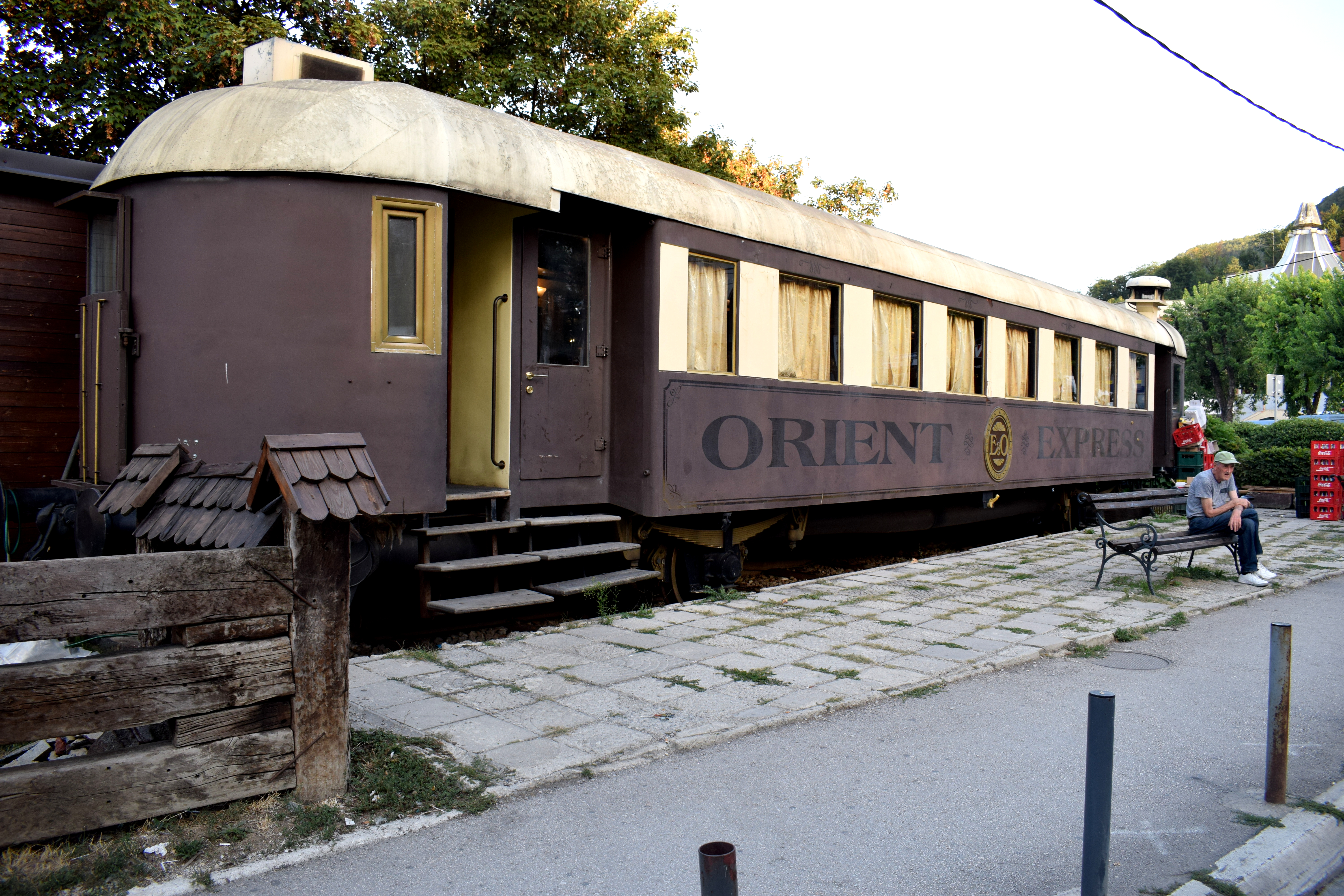 Kid’s playing in the center by the river.
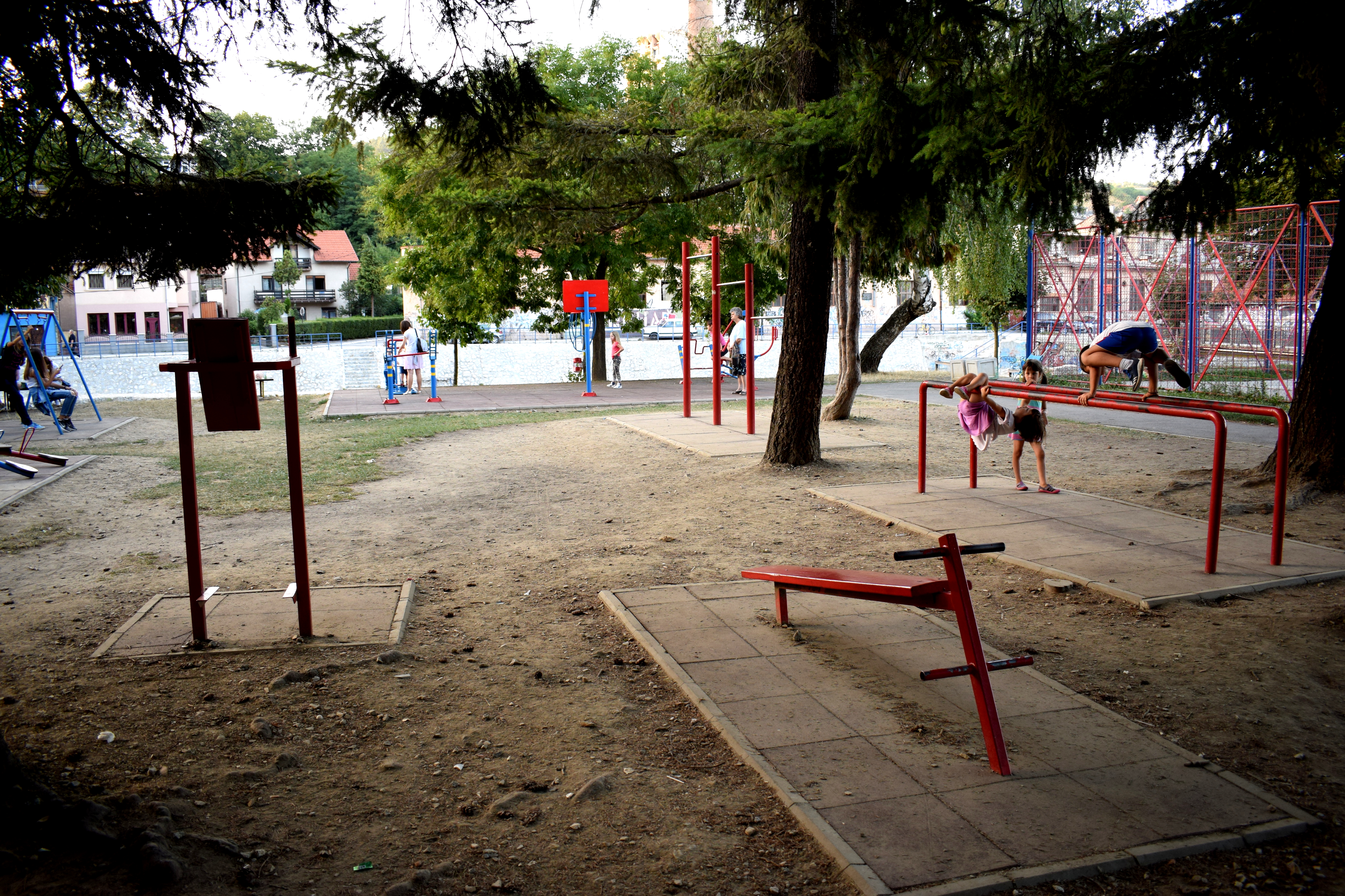 Walking toward the Hydroelectric dam. The Uzice Fortress is situation on top of the steep hill.
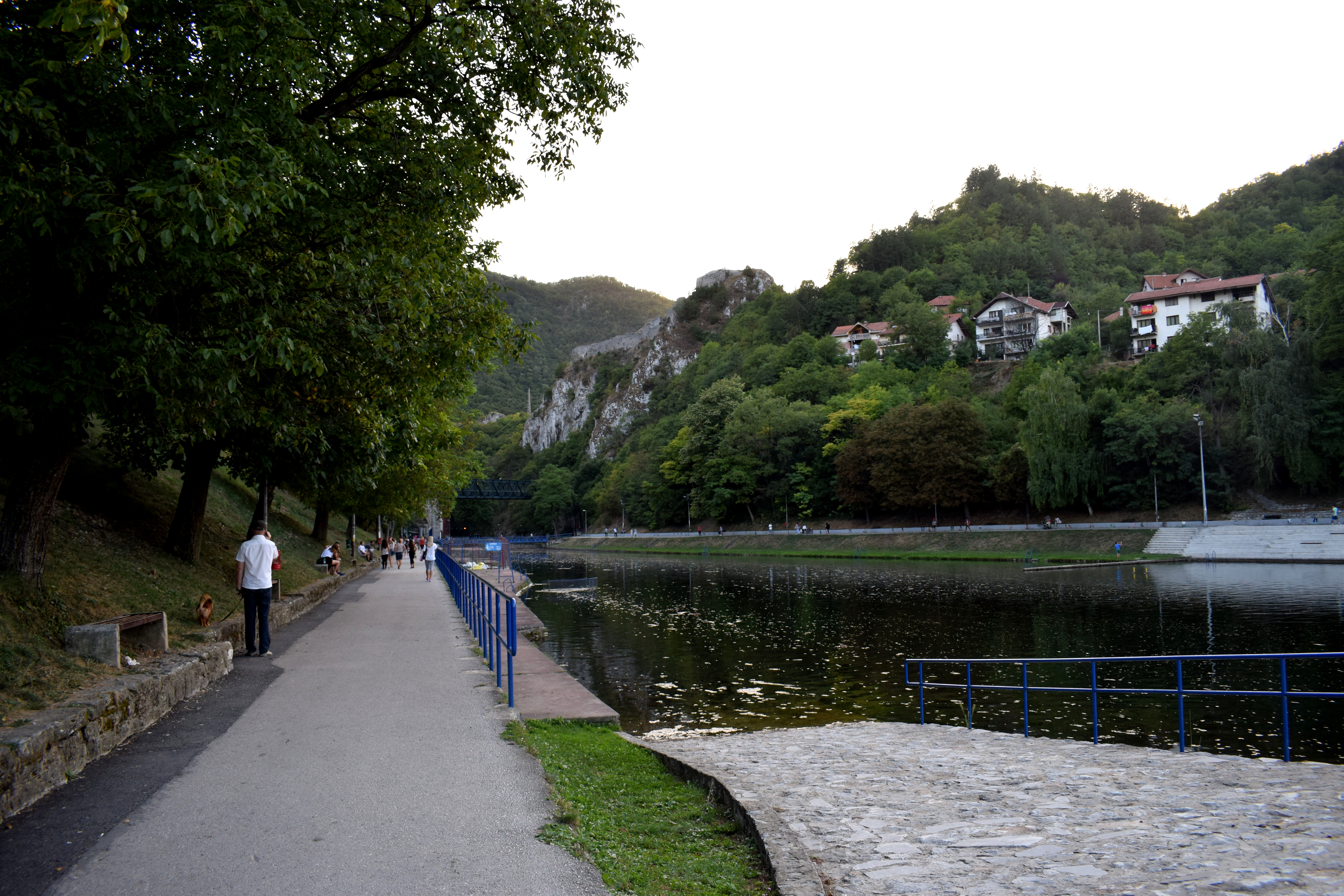 The first hydroelectric dam built in Serbia and one of the first in Europe is in Uzice, built in 1900. It was built using the same principles Nikola Tesla used to power the Niagara Falls dam.
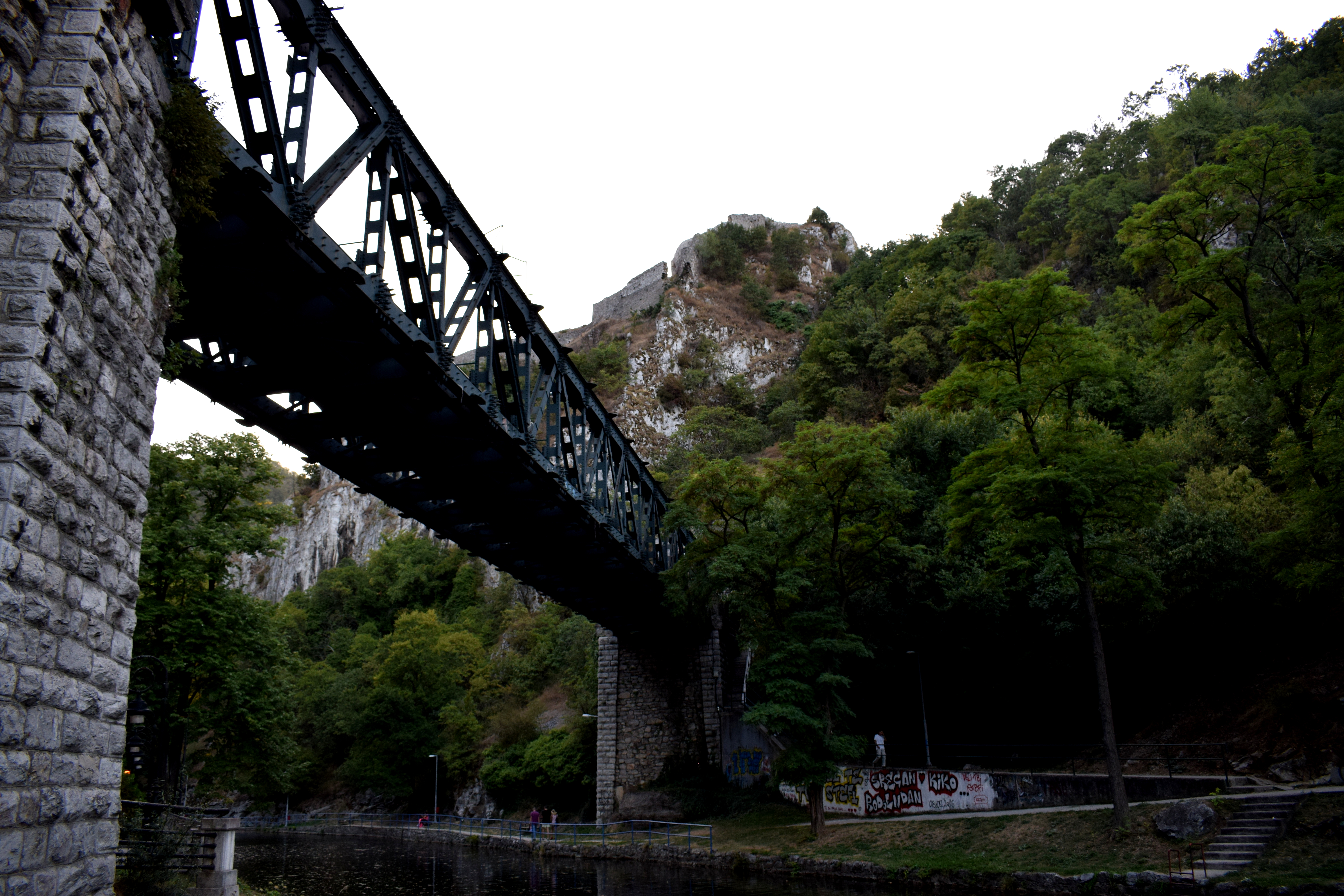 Uzice’s old upper town fortress is located above the dam at the top of the hill.
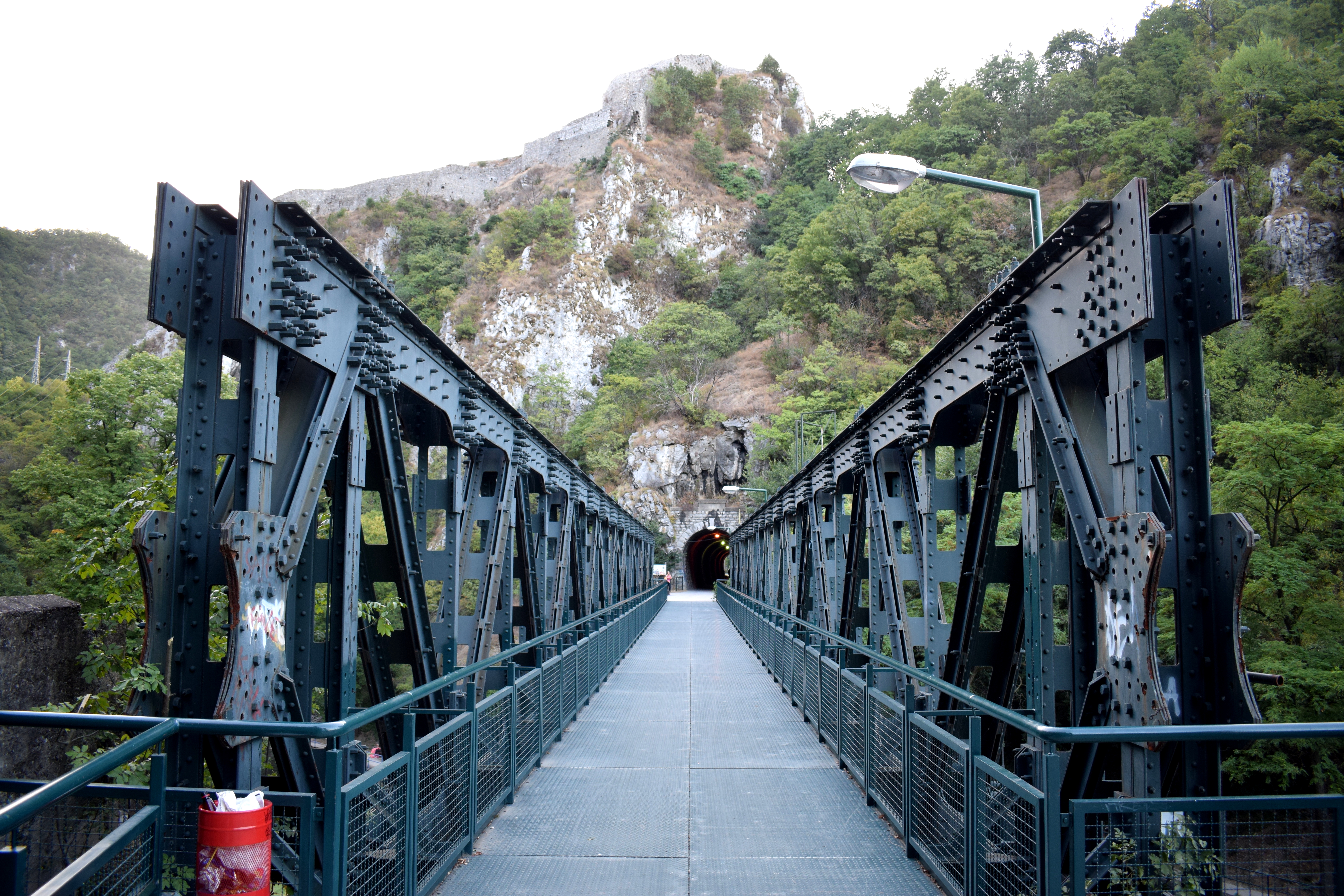 The tunnel above the hill has now been converted into a nature walkway spanning several kilometers using old WWII bunkers that were neglected until recently.
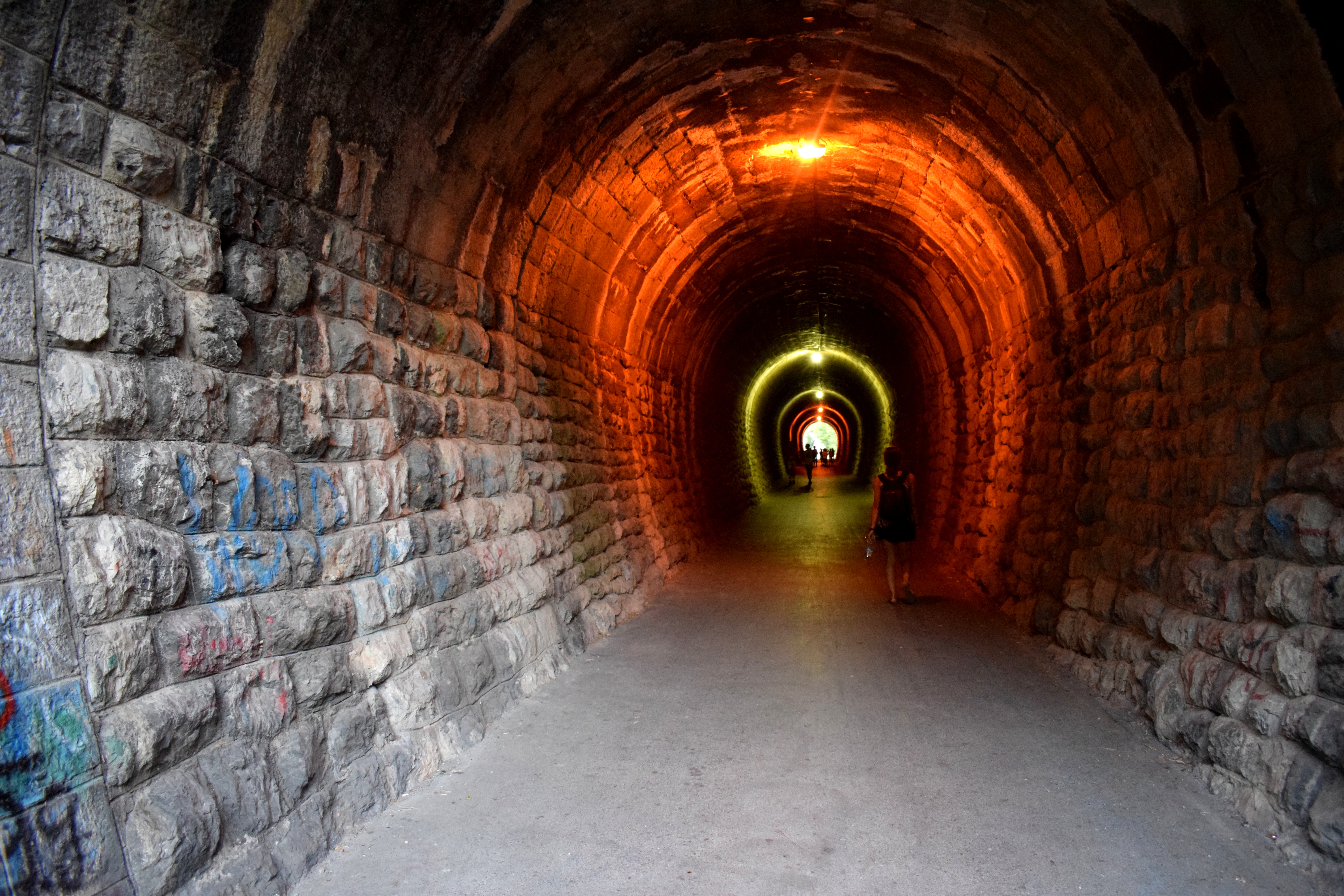 There are plans to extend the path several more kilometers and turn it into a full-scale cycling path.
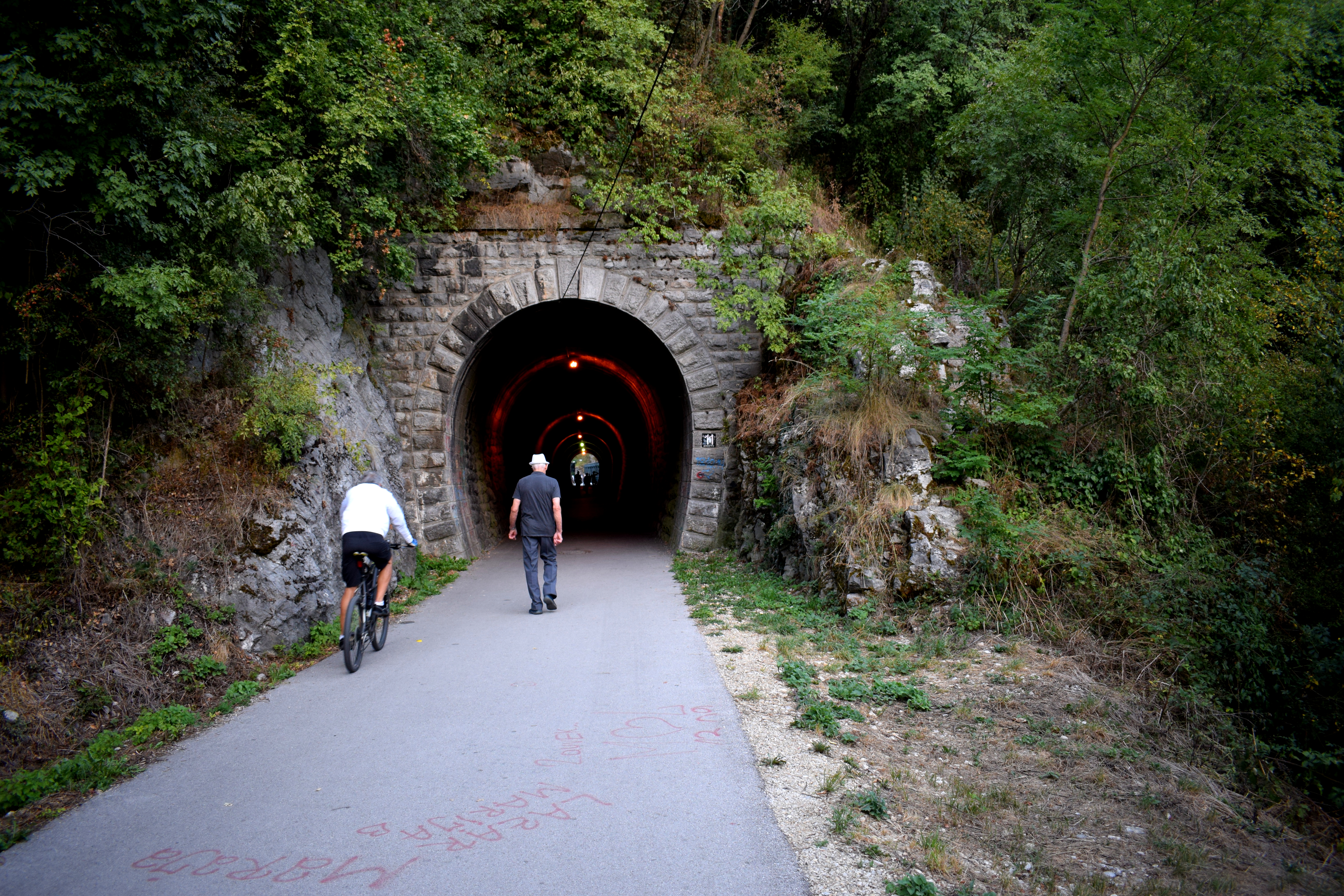 Despite being over 100 years old, the dam still operates today.
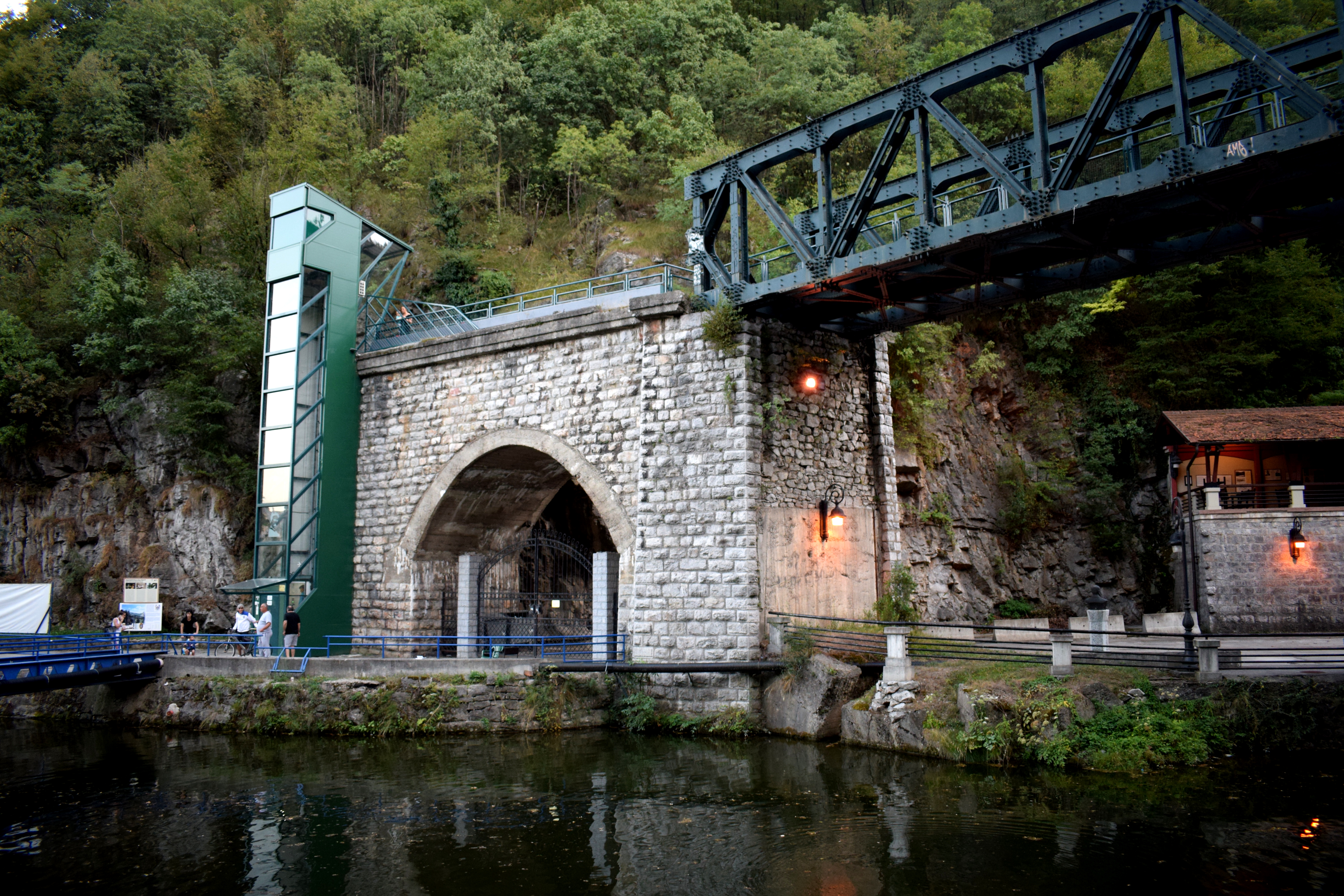
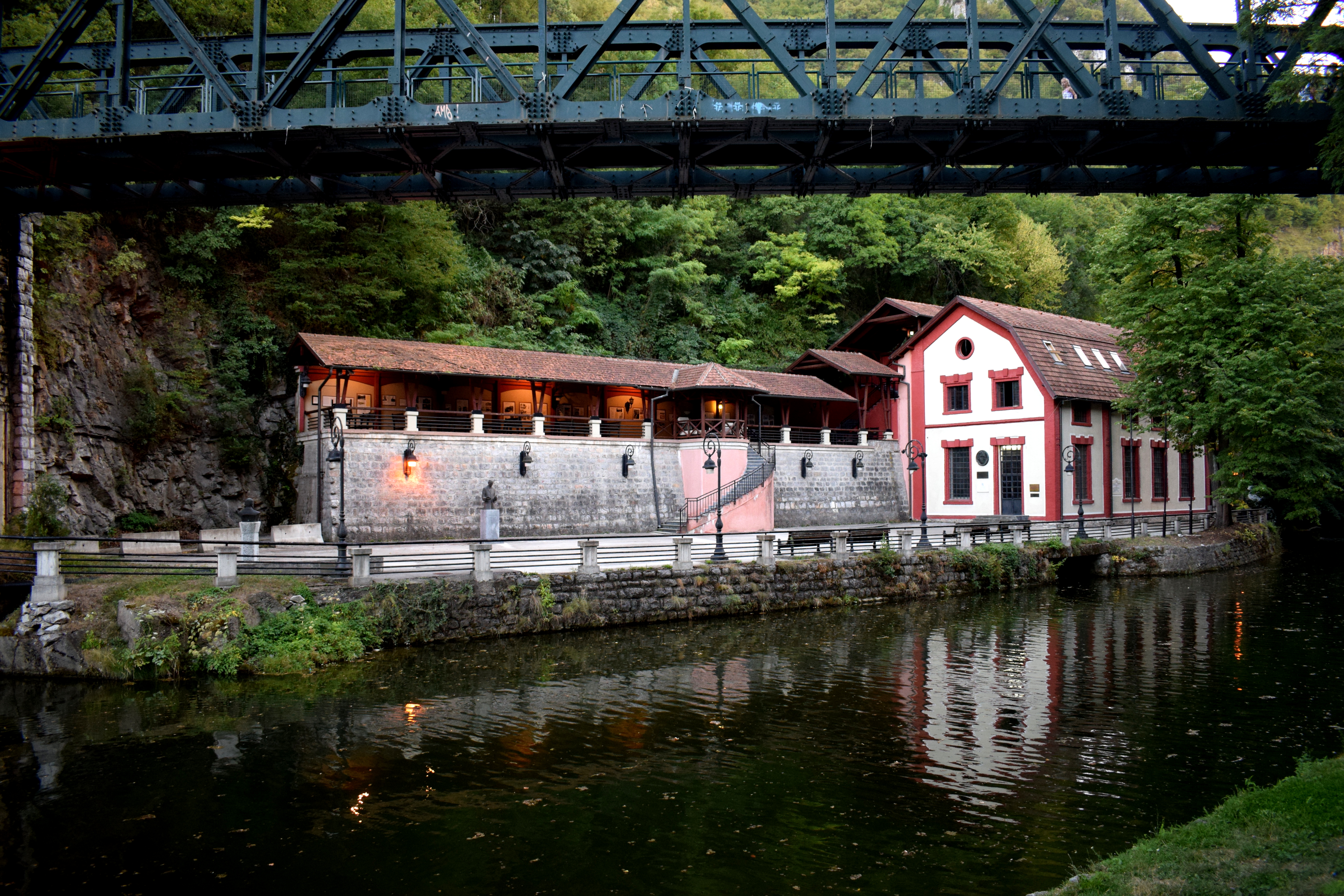 The mountains surrounding Uzice.
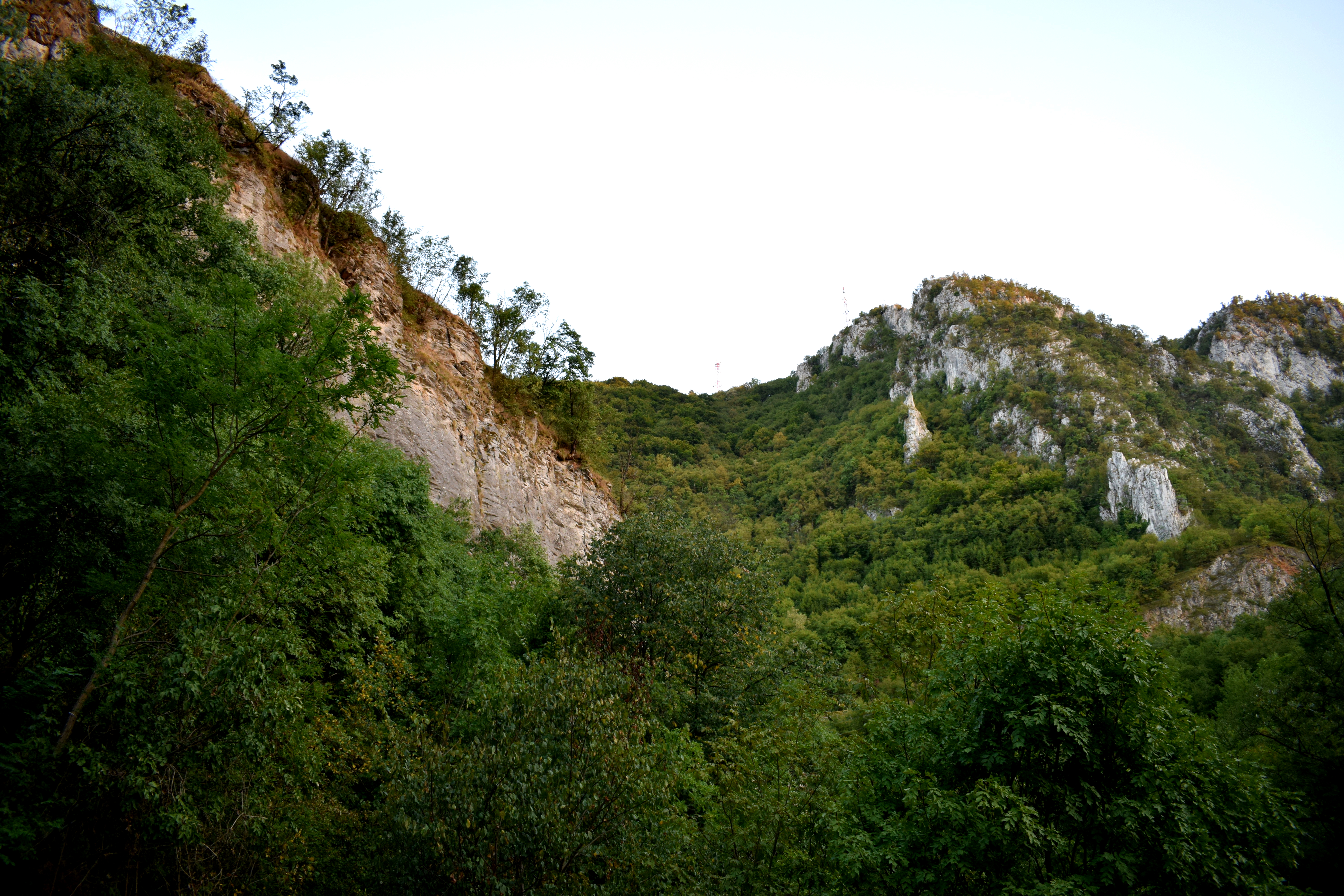
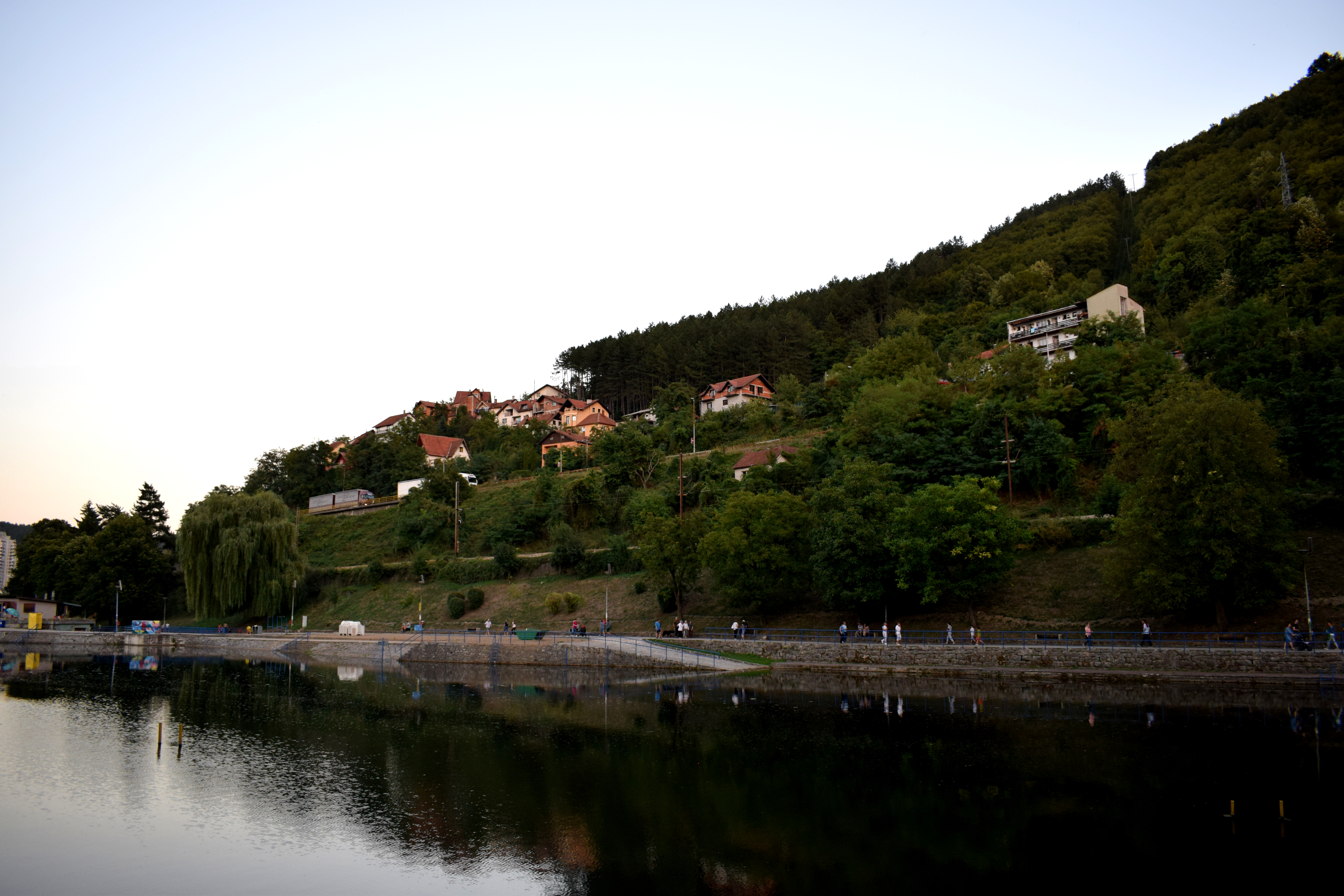 Back in the center at Dimitri Tucovic Street.